Elevation of 59th Ave NE, Arlington, WA, USA
Location: United States > Washington > Snohomish County > Arlington >
Longitude: -122.14995
Latitude: 48.1588155
Elevation: 40m / 131feet
Barometric Pressure: 101KPa
Elevation Map:
Satellite Map:
Related Photos:
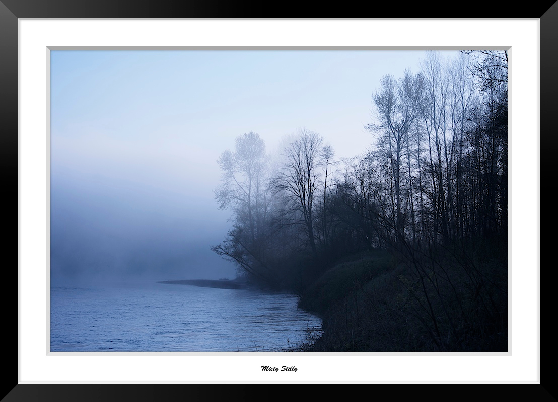
Misty Stilly

Snohomish River Bridge viewed from Amtrak Cascades Train in Washington State

Pilchuck's Alpenglow

LV1293DSC00676.JPG

LV1312DSC00695.JPG

LV0150DSC09825.JPG

LV1281DSC00664.JPG

LV0151DSC09826.JPG

LV1282DSC00665.JPG

LV1278DSC00661.JPG

LV1290DSC00673.JPG

LV1277DSC00660.JPG

LV1279DSC00662.JPG

LV0152DSC09827.JPG

LV0148DSC09823.JPG

LV1291DSC00674.JPG

MG HS Quarterback #16 Dylan Diedrich Throw 9/7/12

The river wild
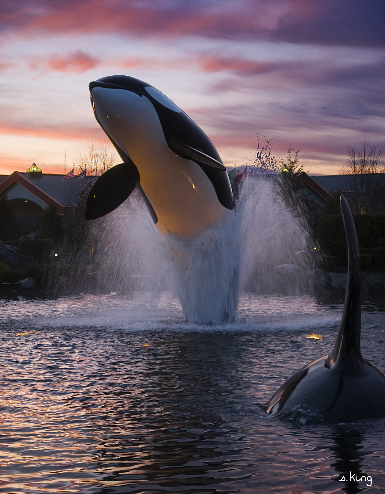
Tulalip Whale

Granite in Gray

Nothing but the Pilings

Frozen Fog

Good Morning, Mountain

Granite Falls

Calm Stilly

Arlington field in the morning

Fall Barn

In the shadows

Nakashima Barn Star Trail

It is that time again. #football

Smokey Point

Watercolor photo

Angry cloud

There's a storm a brewin'

misty walk

Big ol caves.

Shells on the Shore

Quilceda Creek at high tide

A new day
Topographic Map of 59th Ave NE, Arlington, WA, USA
Find elevation by address:

Places near 59th Ave NE, Arlington, WA, USA:
18520 67th Ave Ne
Greenwood Rd, Arlington, WA, USA
6915 Woodlands Way
17821 Highland View Dr
17500 74th Dr Ne
7707 Kestrel Ct
148th Place Northeast
14731 56th Avenue Northeast
8420 186th St Ne
17400 85th Ave Ne
13825 51st Dr Ne
29829 91st Ave Ne
5728 130th Pl Ne
12905 51st Ave Ne
5202 128th Pl Ne
12727 51st Ave Ne
12727 51st Dr Ne
2203 172nd St Ne
12623 54th Ave Ne
12405 51st Ave Ne
Recent Searches:
- Elevation of Groblershoop, South Africa
- Elevation of Power Generation Enterprises | Industrial Diesel Generators, Oak Ave, Canyon Country, CA, USA
- Elevation of Chesaw Rd, Oroville, WA, USA
- Elevation of N, Mt Pleasant, UT, USA
- Elevation of 6 Rue Jules Ferry, Beausoleil, France
- Elevation of Sattva Horizon, 4JC6+G9P, Vinayak Nagar, Kattigenahalli, Bengaluru, Karnataka, India
- Elevation of Great Brook Sports, Gold Star Hwy, Groton, CT, USA
- Elevation of 10 Mountain Laurels Dr, Nashua, NH, USA
- Elevation of 16 Gilboa Ln, Nashua, NH, USA
- Elevation of Laurel Rd, Townsend, TN, USA