Elevation of Highland Blvd, Hayward, CA, USA

Location: United States > California > Alameda County > Hayward > Mission - Foothill >

Longitude: -122.06303

Latitude: 37.6635163

Elevation: 128m / 420feet

Barometric Pressure: 100KPa

Elevation Map:

elevation map of Highland Blvd, Hayward, CA, USA

Satellite Map:

Satellite map of Highland Blvd, Hayward, CA, USA

Related Photos:

sunset red reflection water wow fire interestingness fengshui flickrwow fremontca interestingness4 cound i500 a flickryahoo exploretop10 exploretop20 explore25oct2006 superaplus aplusphoto
Air and water, charging on!
california fav50 unioncity minimalist hdr 3xp photomatix nex6 sel55210 loganstadium
Empty seats at the stadium
sanleandro california unitedstatesofamerica sanleandromarina clarksgrebe nature northerncalifornia birds bayarea
Just Hangin Out
california above park summer sky orange brown color northerncalifornia yellow nikon track publictransportation view purple metro bart august latenight transit commute bayarea eastbay unioncity d200 southbay 2008 skyway bartstation traffictrails lightstream
park and ride
street blue trees usa house brick green ford lamp station clouds trash dumpster truck fire graffiti 1 us am garbage escape cloudy pov pavement teal balcony c united mason parking main lot pickup grand tags engines pontiac walls states hayward hybrid hdr mostviewed1 mostviewed7 mostviewed6 mostviewed10
Dumpster's Point of View
california panorama nature landscape mustard canon5d bluehour dreamland coyotehills naturallightphotography suvrangshughoshphotography suvghoshphotography canon70200f28liiusm
DreamLand, Coyote Hills
california tower cali oakland fly flying airport oak traffic control aviation air international norcal fedex municipal faa koak
Oakland Tower
bayarea eastbay 4thofjuly holiday night black color summer nikon d810 boury pbo31 california fireworks 2018 independenceday pyrotechnics over view kingestateopenspace eastmont oakland alamedacounty illegal rooftops
4th of july over toler heights
california funny sanramon sheep ram ewe canon500d contracostacounty foresthomefarms dancingsheep blinkagain bestofblinkwinners highqualityanimals
Giddy-Up!
whitetailedkite whitetailed kite raptor bird birdinflight birdofprey elanus leucurus elanusleucurus coyotehills coyotehillspark fremont california juvenilebird juvenile sp186 blue bluesky sky
White-tailed Kite (Elanus leucurus) (sp. # 186)
yellowrumpedwarbler warbler setophagacoronata 1stwinter coyotehills coyotehillspark 1stwinterbird bird passerinebird passerine passeriformes fremont california ca canon7dii sp167 donedwardsnationalwildliferefuge myrtlewarbler
Yellow-rumped Warbler (Setophaga coronata) (sp. # 167)
california winter panorama dublin storm motion black color reflection wet rain station northerncalifornia night dark nikon highway view traffic metro over bart january large panoramic transit bayarea eastbay stitched pleasanton alamedacounty 580 2016 lightstream redrain boury pbo31 d810
dublin / pleasanton platform in the rain
california panorama oakland unitedstates 360 hdr highdynamicrange vr equirectangular sdosremedios dunsmuirhouse size1x2 ©stevendosremedios
Living Room
california apple northerncalifornia cali plane airplane fly phone sfo aircraft altitude telephone flight wing jet cellphone cell aerial nightflight mobilephone redeye windowview norcal gps happyholidays merrychristmas flugzeug takeoff avión aereo airliner avion windowseat kalifornien californie usairways iphone vliegtuig самолет airplanewing sanfranciscointernationalairport 飛行機 aéreo ksfo sanfranciscoairport jetwing 飛機 internationalterminal awyren 加州 カリフォルニア αεροπλάνο 비행기 californië intlairport aério πτερόν appleiphone iphone5 sfia takenwithaniphone калифорния كاليفورنيا 캘리포니아 καλιφόρνια iphonecapture λεπίδοσ internationalairport‎ backcamera iphone5capture
#USAirways flight to #Charlotte, #NorthCarolina / #CLT / #CharlotteDouglasInternationalAirport
DSC00001 - Version 2
california ca usa mountain mountains landscape oakland bay us view unitedstates over aerial calif east hills cal suburbs hayward northern range haywood ilobsterit
Aerial view of Haywood and East Bay suburbs over California
nimby equirectangular
NIMBY in Oakland, CA
cedarwaxwing waxwing bombycilla cedrorum bombycillacedrorum edenlandingecologicalreserve edenlanding unioncity california edenshore edenshorespark hayward bird feeding nature wildlife blue sky passerine passerinebird eatingberries
Almost got it! ~ Cedar Waxwing (Bombycilla cedrorum)
california above longexposure summer motion black color night dark lowlight nikon view ride spin over july spinning bayarea vista eastbay midway funfair pleasanton alamedacounty alamedacountyfair lightstream d700 2011northerncalifornia
wheels on fire
ngc flight northernharrier avianexcellence coyotehillsbirds2013
'out of nowhere'
california ford car vintage nikon icon hdr carshow vr 18200mm debasis tonemapping nikonr mywinners nikond80 platinumphoto anawesomeshot aplusphoto superbmasterpiece theperfectphotographers debasis123 newarkcarshow
Icon - vintage series
wild sky nature yellow clouds landscape spring pretty mustard hollingsworth ellow firld iphone5 iphoneography uploaded:by=flickrmobile flickriosapp:filter=nofilter
Mustard field
bird birds bravo quality wren marshwren cistothoruspalustris birdoftheday specnature specanimal
Marsh Wren
sunset snow storm rain fog night sunrise day cloudy clear pwgen pwwinter pwfall pwpartlycloudy
Mustard Flowers Field
california park summer color sunrise fire nikon sanramon smoke large panoramic september burning burn eastbay forestfire d200 mtdiablo northern stitched slope 2013 morganhillfire
the morgan hill fire monday morning september 9th
coyotehillsregionalpark fremont california ebparksok ch
Poppies, Lupines and Rocks
square squareformat iphoneography instagramapp uploaded:by=instagram foursquare:venue=49d7f00df964a520815d1fe3
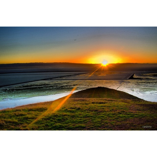
Obviously not from today. #itsfinallyraining #california #sunset #rei1440project #scenicsunset #neverstopexploring #ig_northamerica #skysnappers #instamood #sfbay #sfbayarea #bayarea #coyotehills
unionpacific railroadtracks sunol railroadyard sunolca trainsrailroads nilescanyonrr
1869 Line Poll in Niles Canyon
redwoodroad alemedacounty greenhills clouds
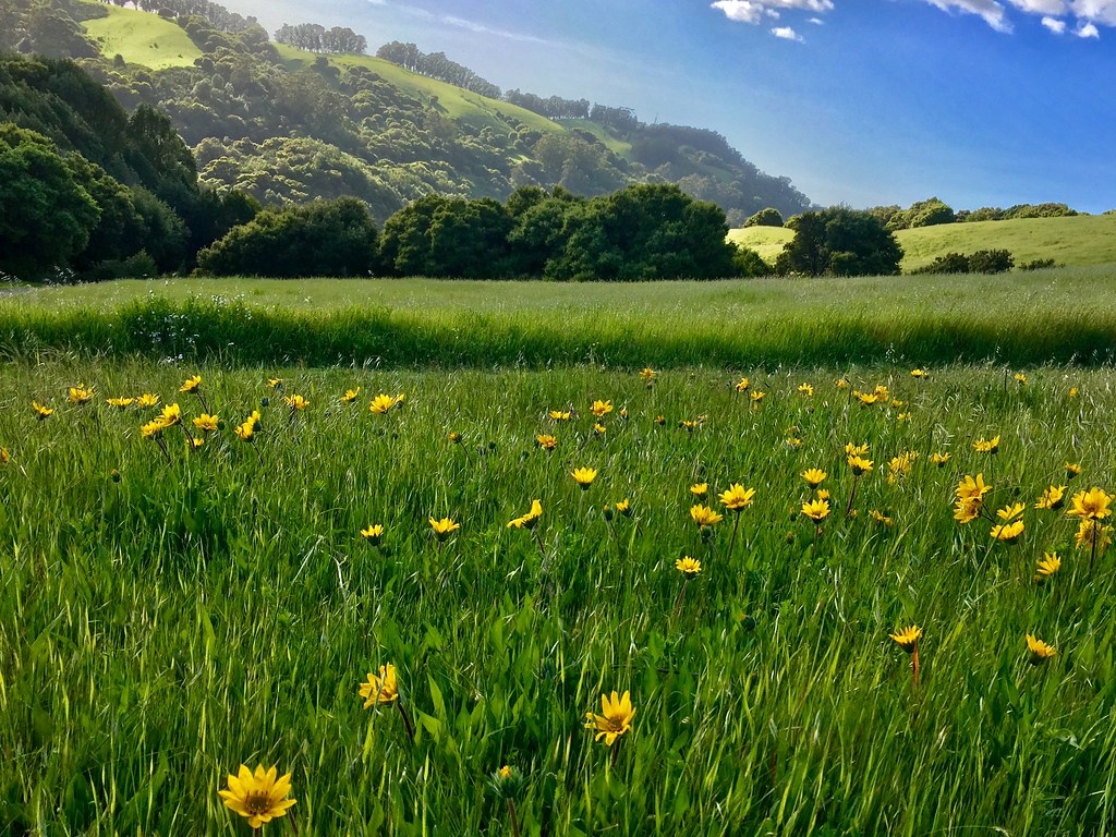
While the Hills are Green!
haywardregionalshoreline
Mustard Flower
california ca flower landscape meadow meadows fremont wildflowers coyotehills earlyspring fremontca
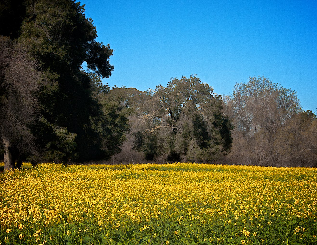
Wild Mustard Field 3 of 12
california nightphotography dublin moon eastbay hdr canon500d interstate580
Night View of Tri-Valley
ebparksok
Lake Chabot
california coyote tree nature field yellow square landscape spring fremont hills coyotehills hollingsworth iphone5 iphoneography hipstamatic uploaded:by=flickrmobile flickriosapp:filter=nofilter
Tree in Yellow Field
ebparksok
Lake Chabot
Cotoye Hills Regional Park 11.jpg
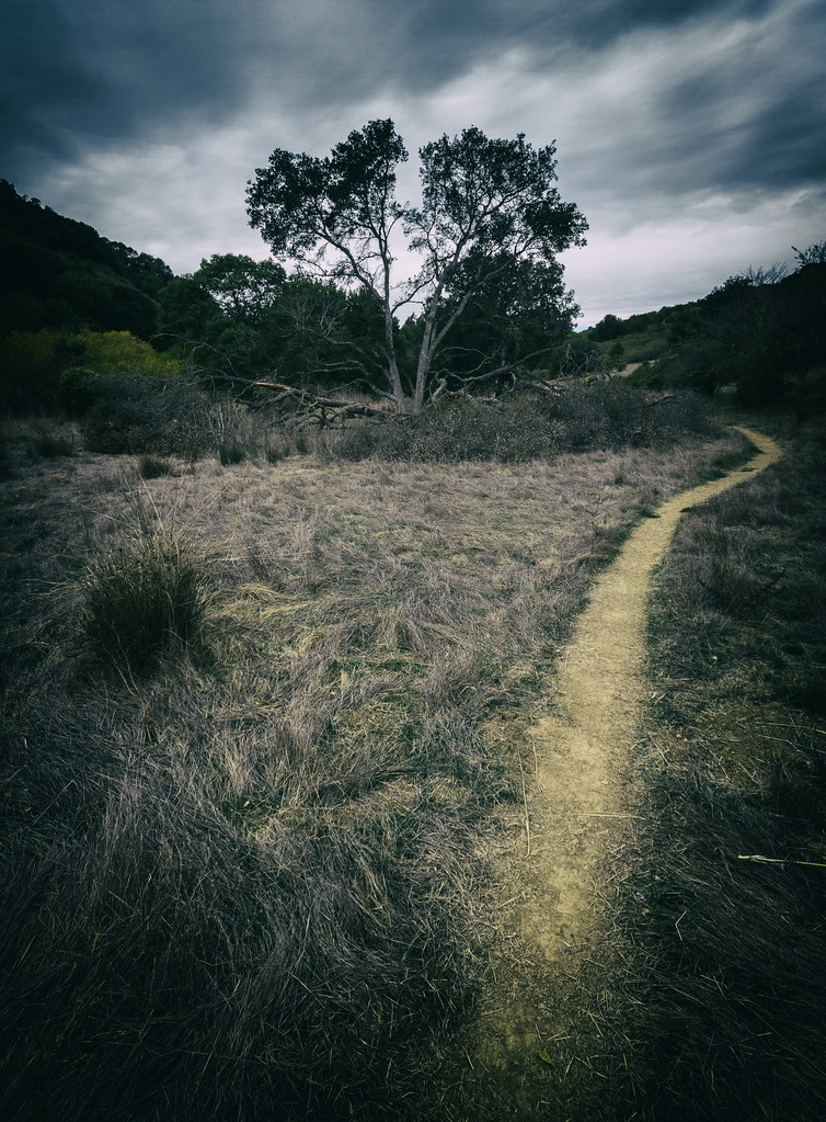
california sunset fremont coyotehills ebparksok
No Name Trail
anthony castrovalley anthonychabotregionalpark project65 ebparksok
Grass Valley Trail
bird canon fremont 7d western coyotehills meadowlark birdperfect
Hello! I'm Western Meadowlark
instagramapp square squareformat iphoneography uploaded:by=instagram lofi chabot park california
Chabot Park
2015 cattle clouds flowers garinregional
Garin 20150227