Elevation of A St, Hayward, CA, USA
Location: United States > California > Alameda County > Hayward > Upper B Street >
Longitude: -122.07719
Latitude: 37.677919
Elevation: 41m / 135feet
Barometric Pressure: 101KPa
Elevation Map:
Satellite Map:
Related Photos:

Fluorescein Dye

I've been to
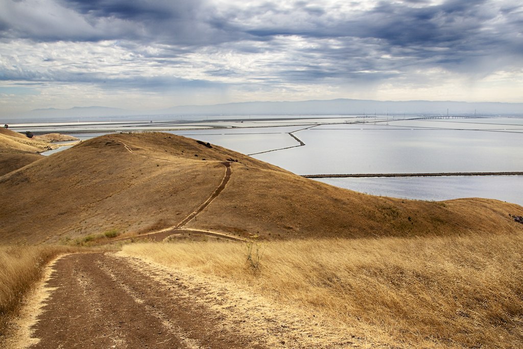
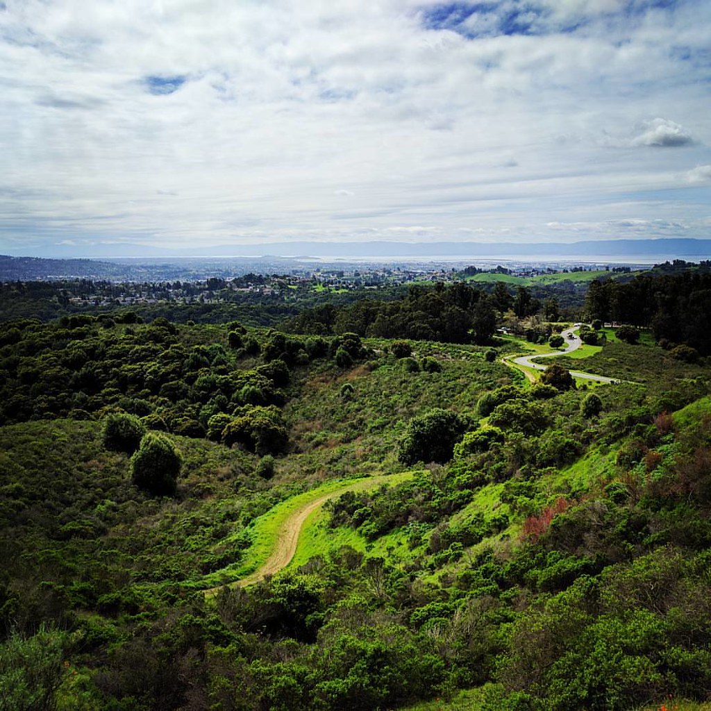
Mission Peak Regional Preserve

Dumpster's Point of View
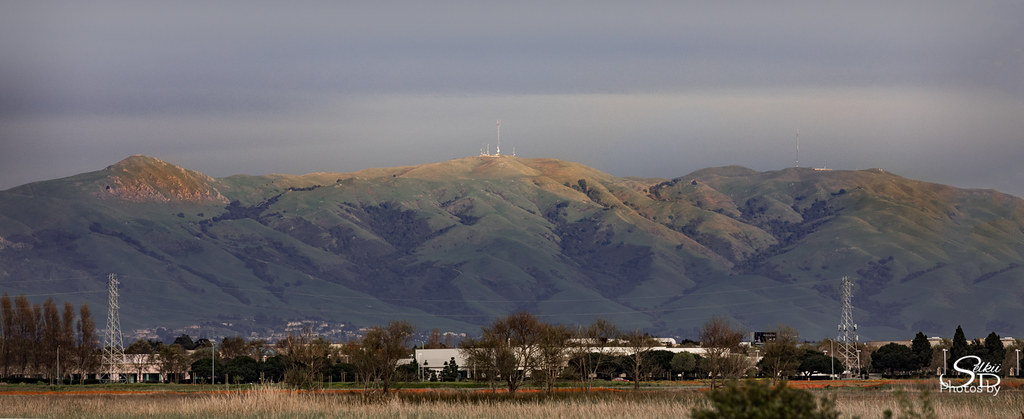
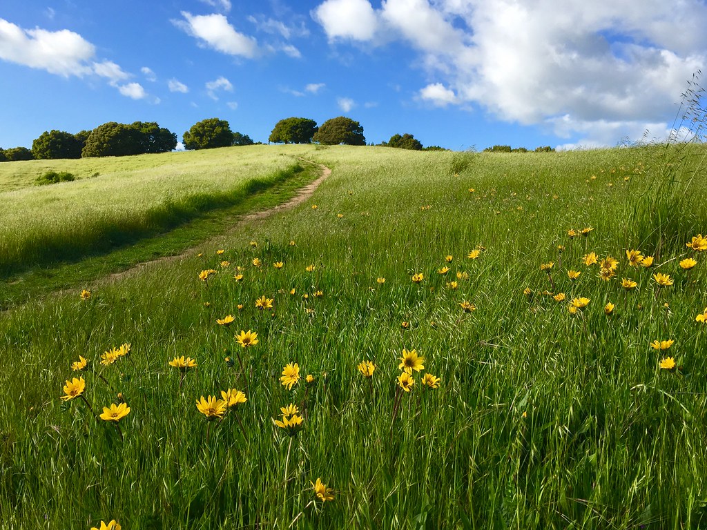
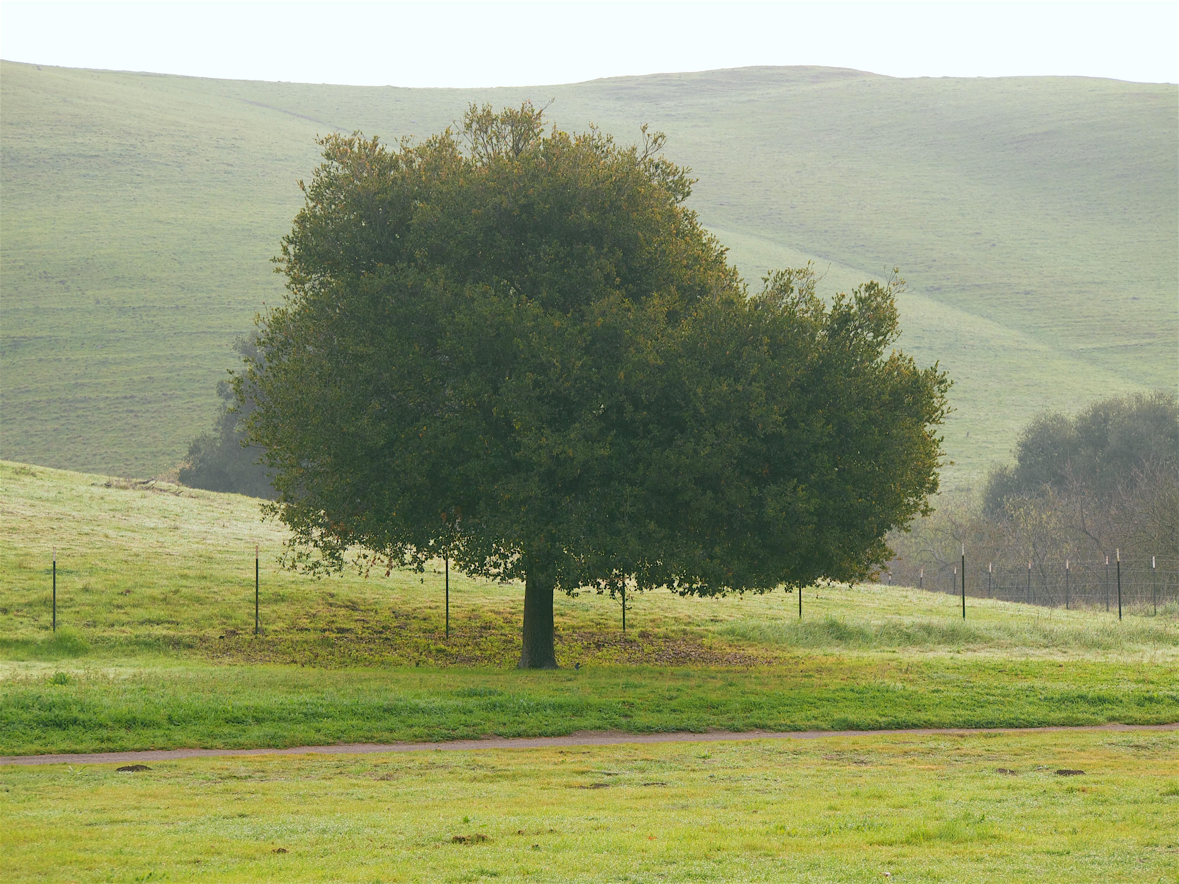
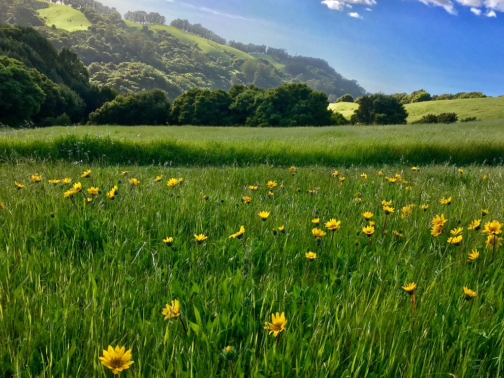
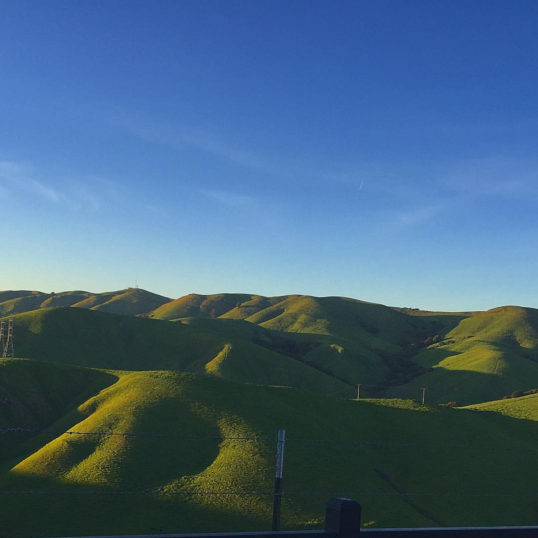
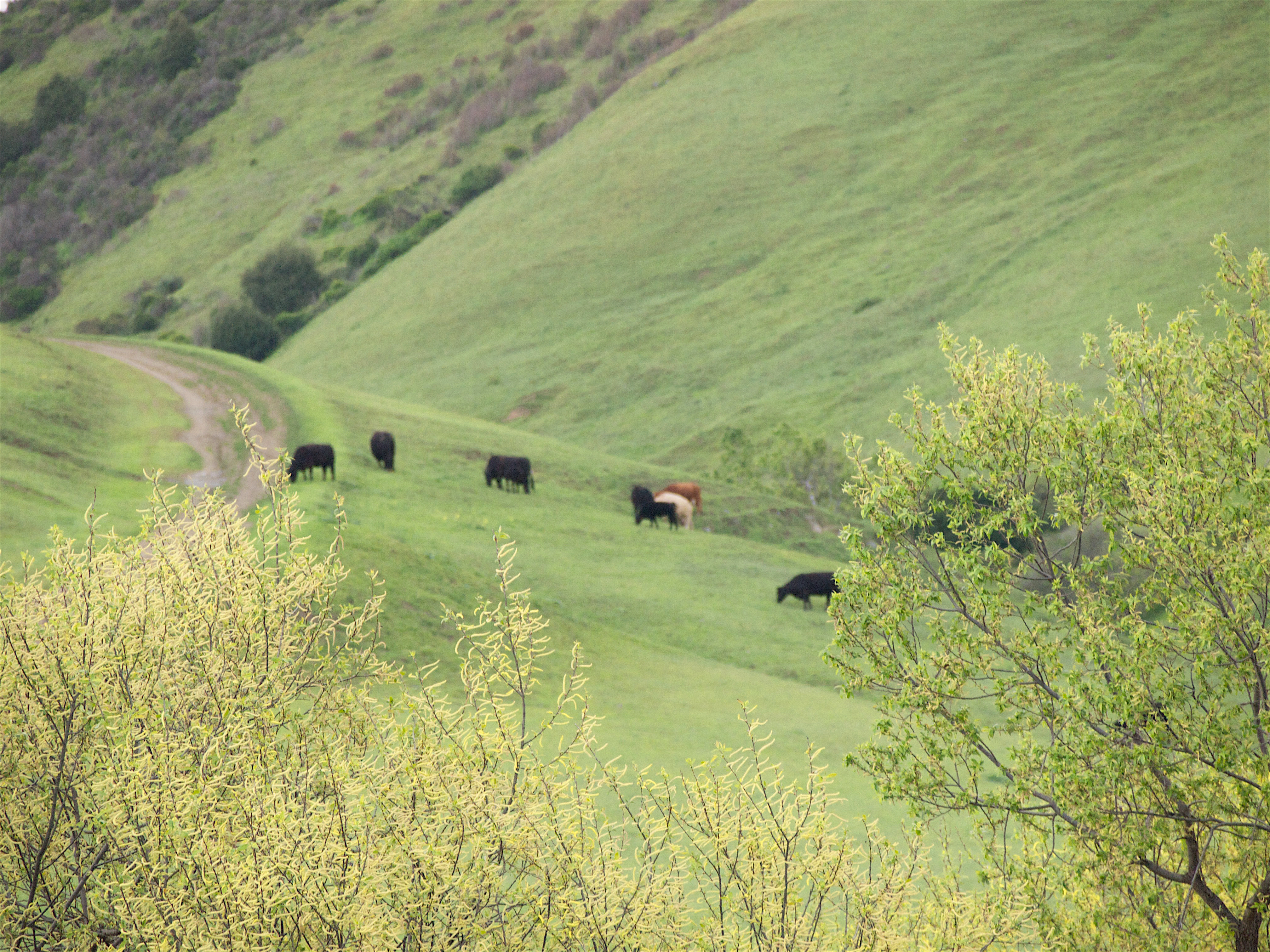
Golden Hills
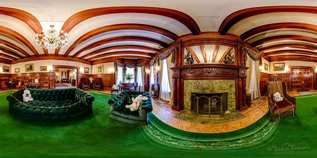
Living Room

Fluorescein Dye under Blue Light
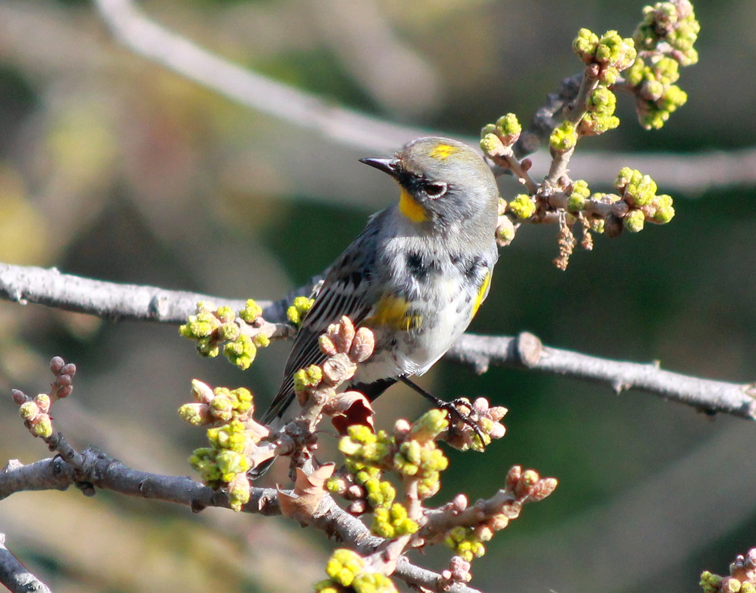
Yellow-rumped Warbler - Frontal View

American Robin - Frontal View
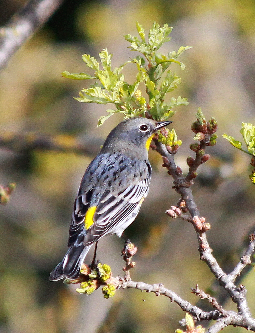
Yellow-rumped Warbler - Back View
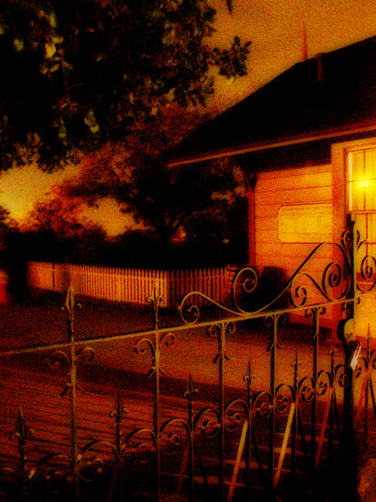
aether removes the curse

In the middle of grass

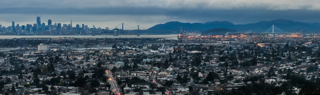
San Francisco from Alameda Creek, Fremont
king estate stormy sky panorama

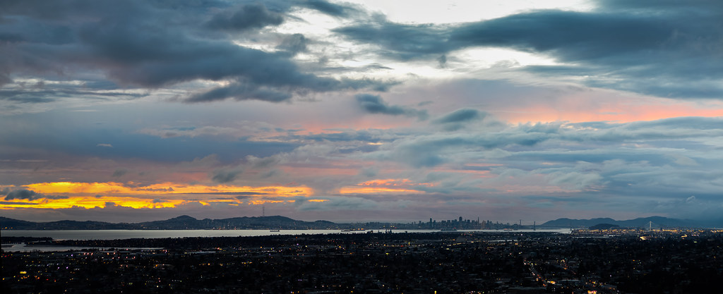
Night View of Tri-Valley
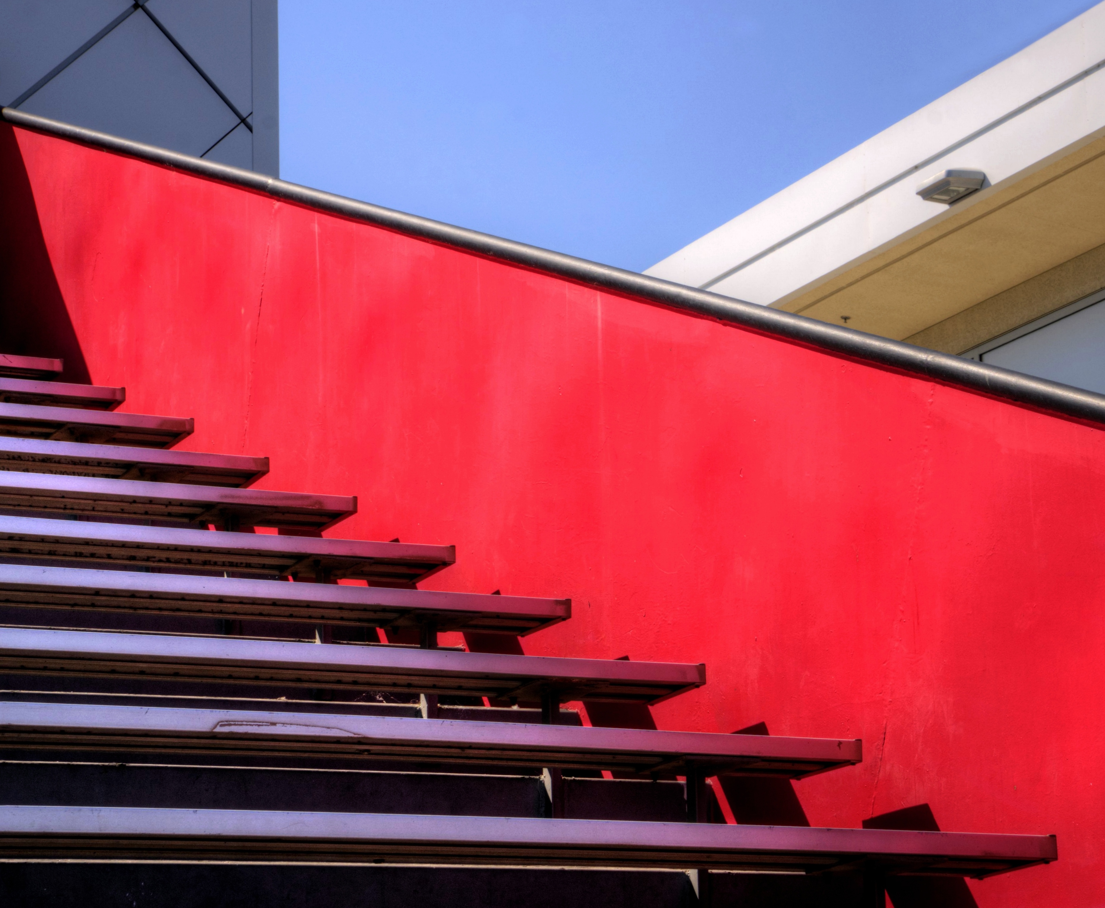
Empty seats at the stadium
do you dare venture beyond?

'out of nowhere'

Living Proof
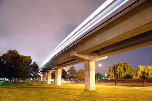
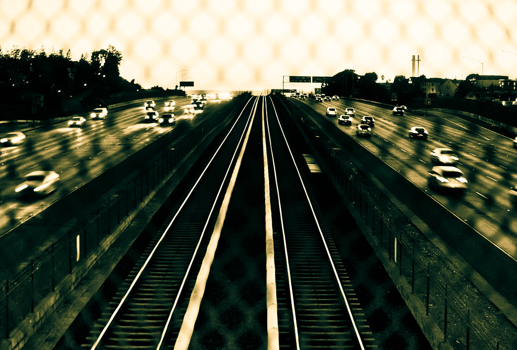
park and ride
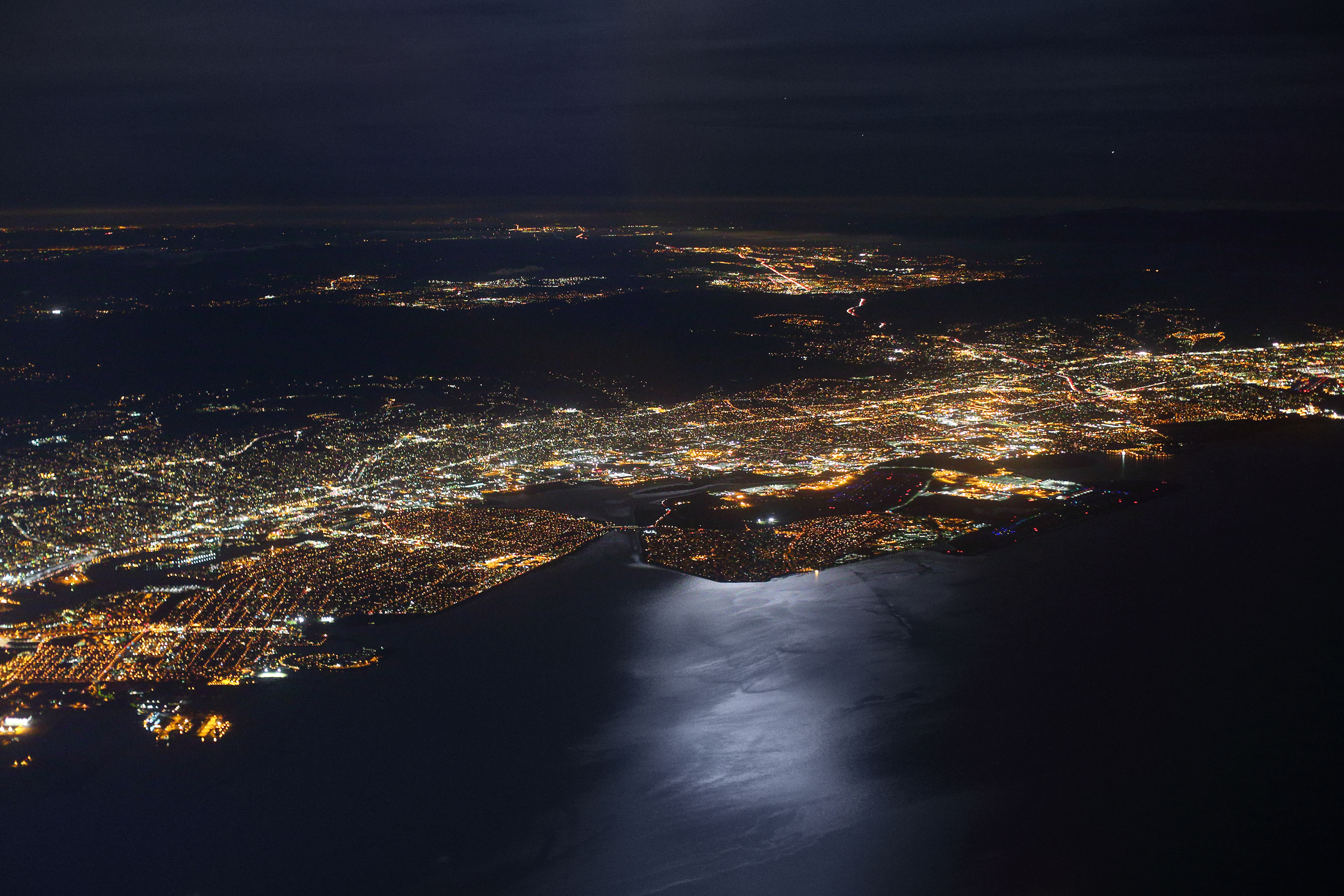
Alameda, San Leandro and OAK from Above, on a Moonlit Night
Lake Chabot
endless e6

Las Trampas
Garin Regional 20150204
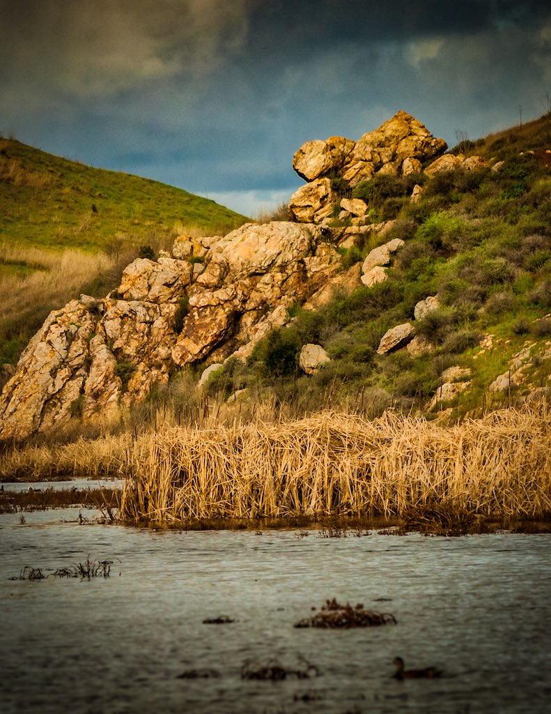
Lizard Rock in Afternoon Light._

Hello! I'm Western Meadowlark

Morning Glory
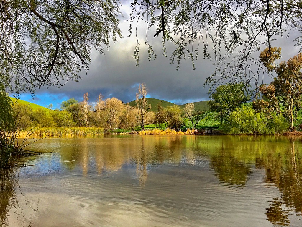
rain and sun alternating
Lake Chabot
Lake Chabot
Garin 20150227

Garin Regional Park
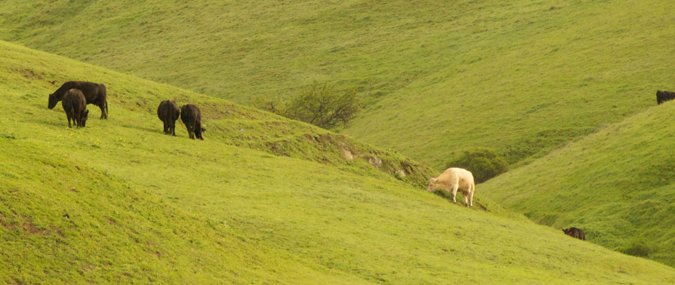
He was quietly brunching when I turned up right behind, glad he was so focus!
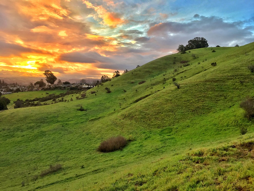
Something about these hills...remind me of Shrek.

Mustard field
Chabot Park
Garin 20150227
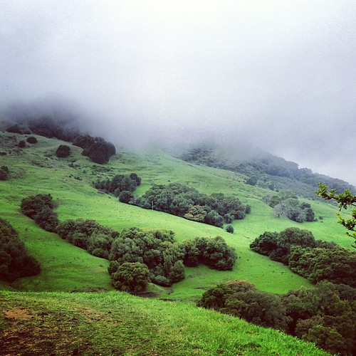
Th fog was rolling in quick!
Garin 20150227
Topographic Map of A St, Hayward, CA, USA
Find elevation by address:

Places near A St, Hayward, CA, USA:
Hayward Hills Health Care Center
Upper B Street
1775 Panda Way
22798 Vermont St
1321 Highland Blvd
Marcus Court
Mission - Foothill
2527 Kelly St
20551 Forest Ave
1624 Highland Blvd
Kelly Street
25408 University Ct
20113 Center St
Byron Street
Lakeridge Avenue
4527 Heyer Ave
4526 Newhaven Way
19402 Center St
19410 Center St
D St, Hayward, CA, USA
Recent Searches:
- Elevation of Congressional Dr, Stevensville, MD, USA
- Elevation of Bellview Rd, McLean, VA, USA
- Elevation of Stage Island Rd, Chatham, MA, USA
- Elevation of Shibuya Scramble Crossing, 21 Udagawacho, Shibuya City, Tokyo -, Japan
- Elevation of Jadagoniai, Kaunas District Municipality, Lithuania
- Elevation of Pagonija rock, Kranto 7-oji g. 8"N, Kaunas, Lithuania
- Elevation of Co Rd 87, Jamestown, CO, USA
- Elevation of Tenjo, Cundinamarca, Colombia
- Elevation of Côte-des-Neiges, Montreal, QC H4A 3J6, Canada
- Elevation of Bobcat Dr, Helena, MT, USA