Elevation of High Ridge Tower Rd, Middleburg, KY, USA
Location: United States > Kentucky > Casey County >
Longitude: -84.781441
Latitude: 37.3624658
Elevation: 337m / 1106feet
Barometric Pressure: 97KPa
Elevation Map:
Satellite Map:
Related Photos:
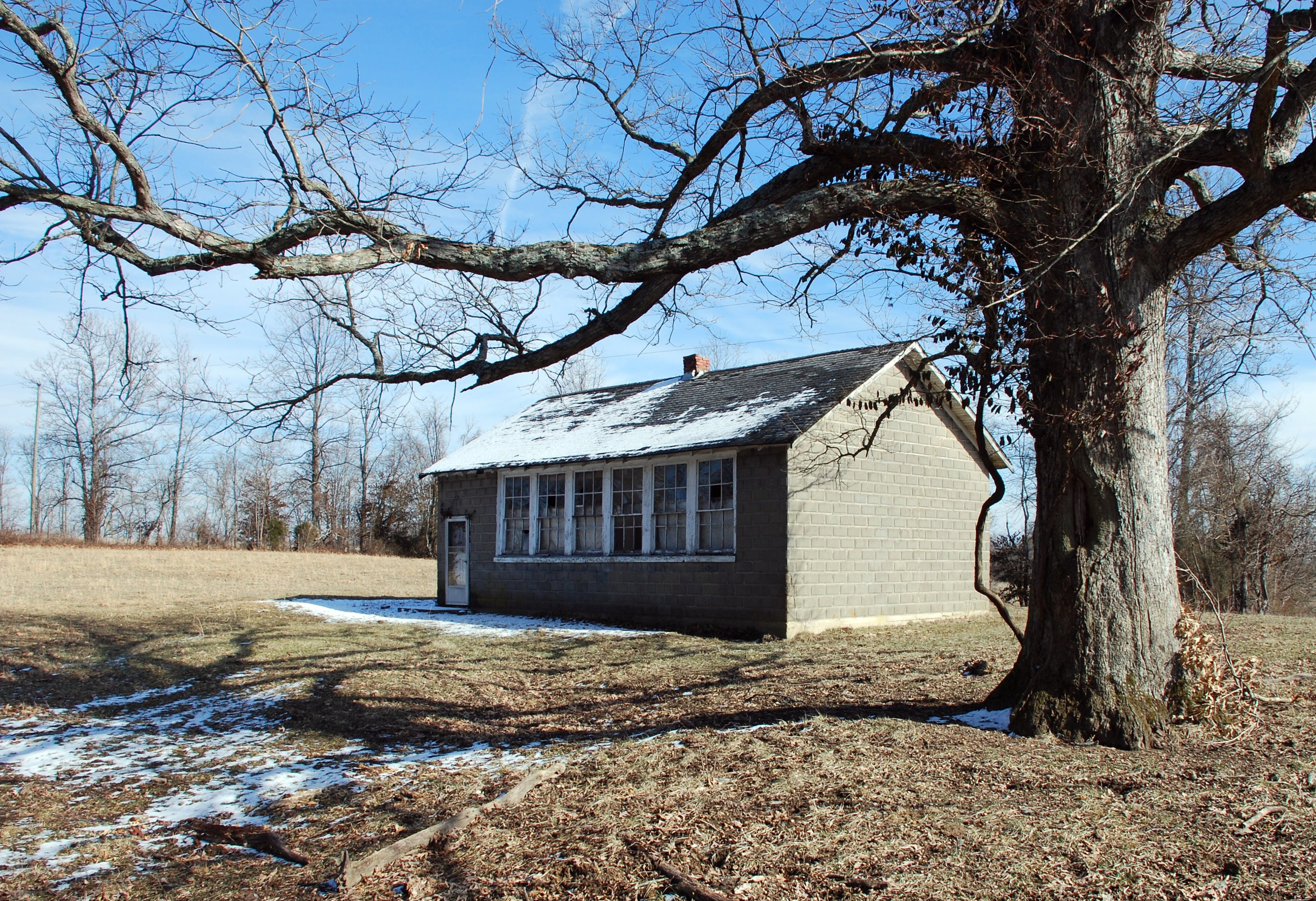
Duncan School

Views from Home

Kentucky Sunset

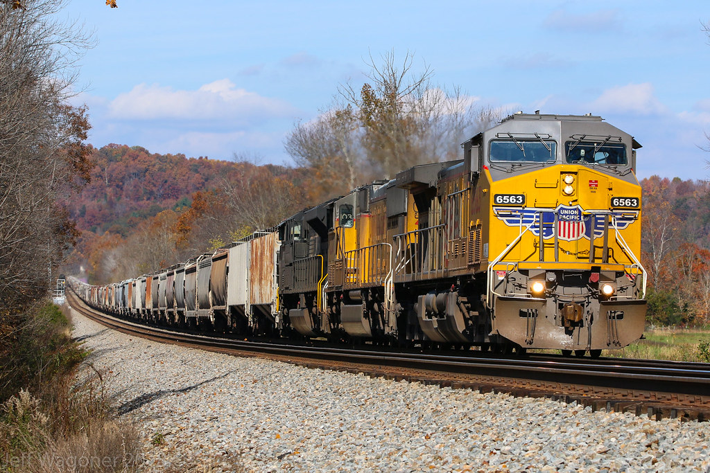
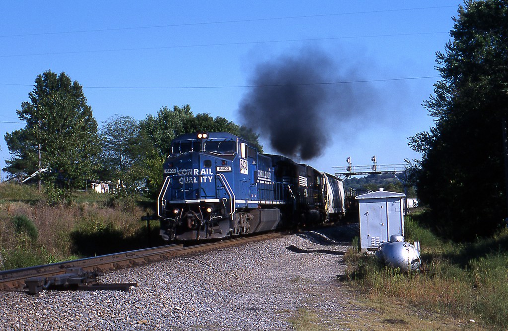
NS Train 229

NS Train 229

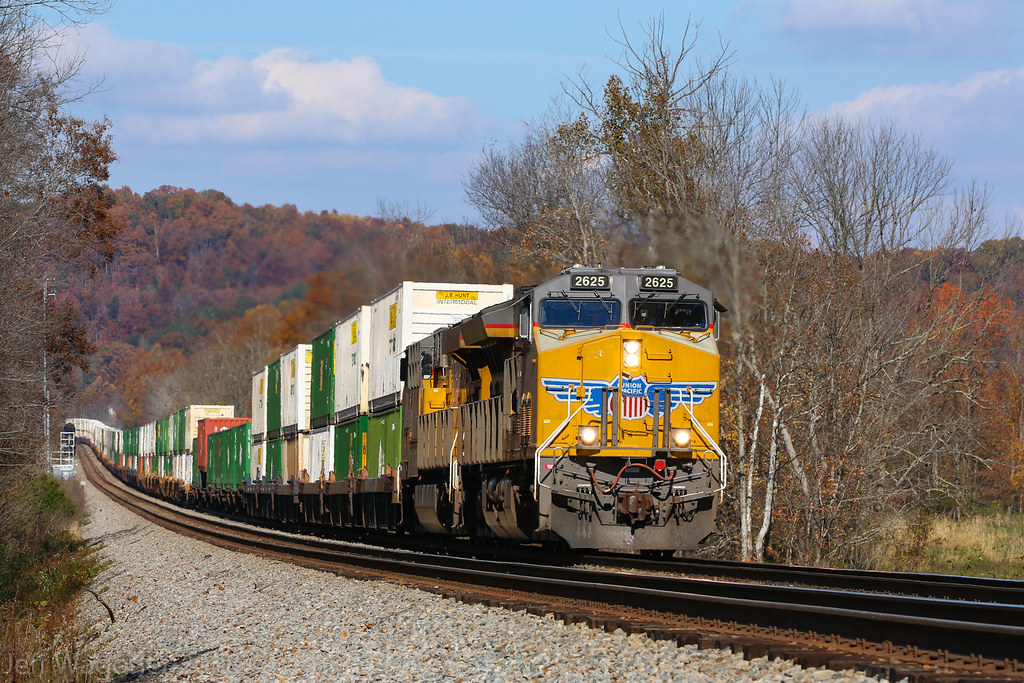
NS Train 133
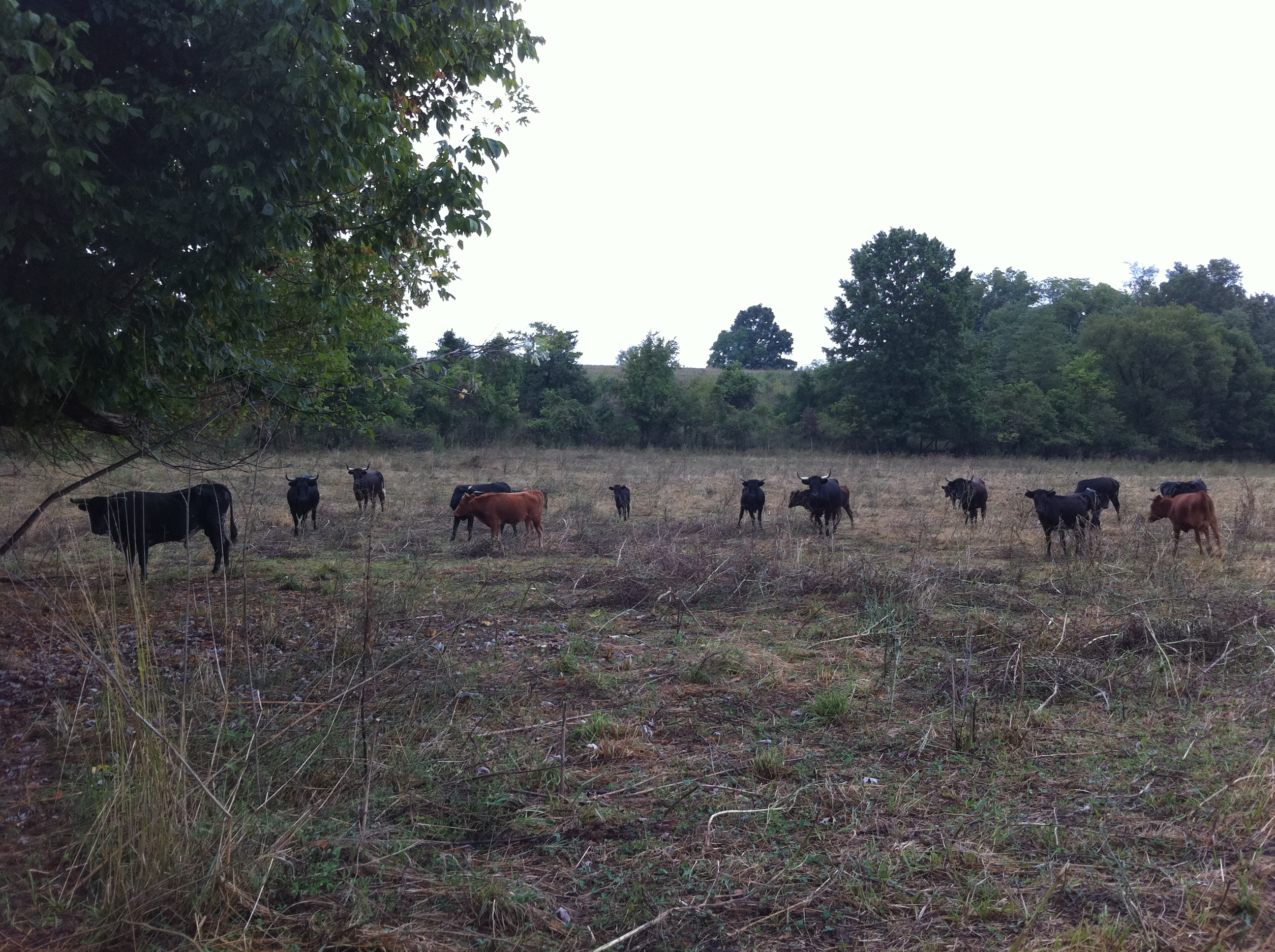
The Farm
NS 46Z, South Fork,KY 11/3/2018
NS 215, South Fork,KY 11/3/2018
NS 55G, South Fork,KY 11/3/2018
NS 215, South Fork,KY 10/19/2018

NS 177, Milledgeville,KY 10/19/2018
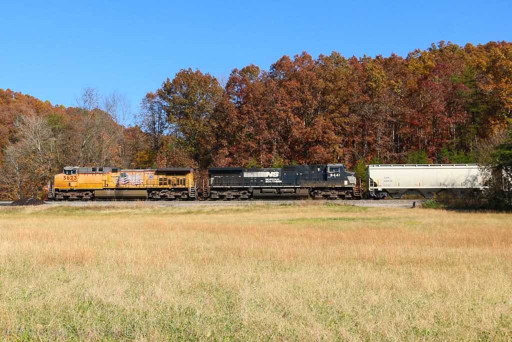
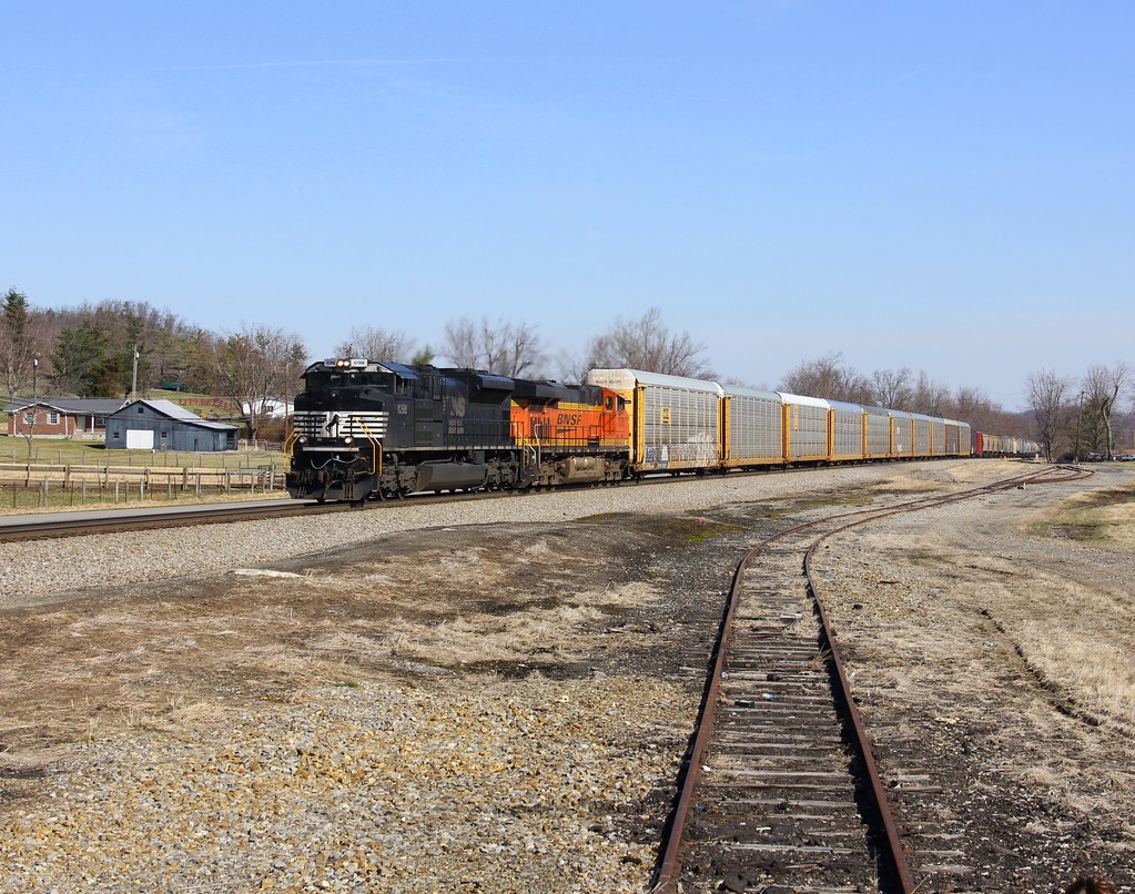
NS 295, Kings Mountain,KY 6/5/2018
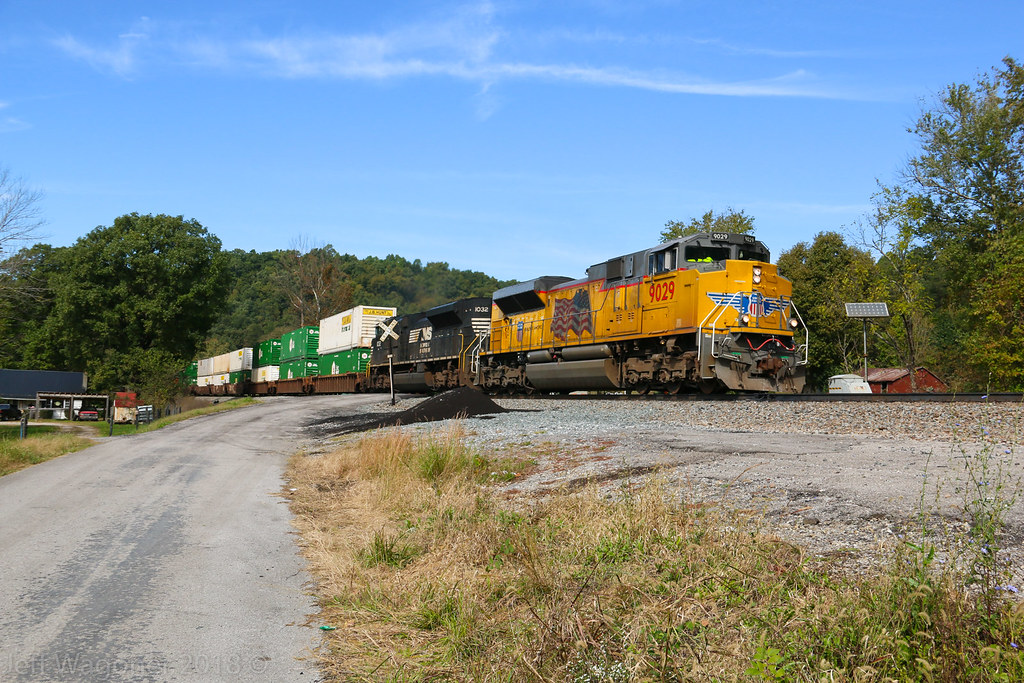
NS 229, Kings Mountain,KY 6/5/2018
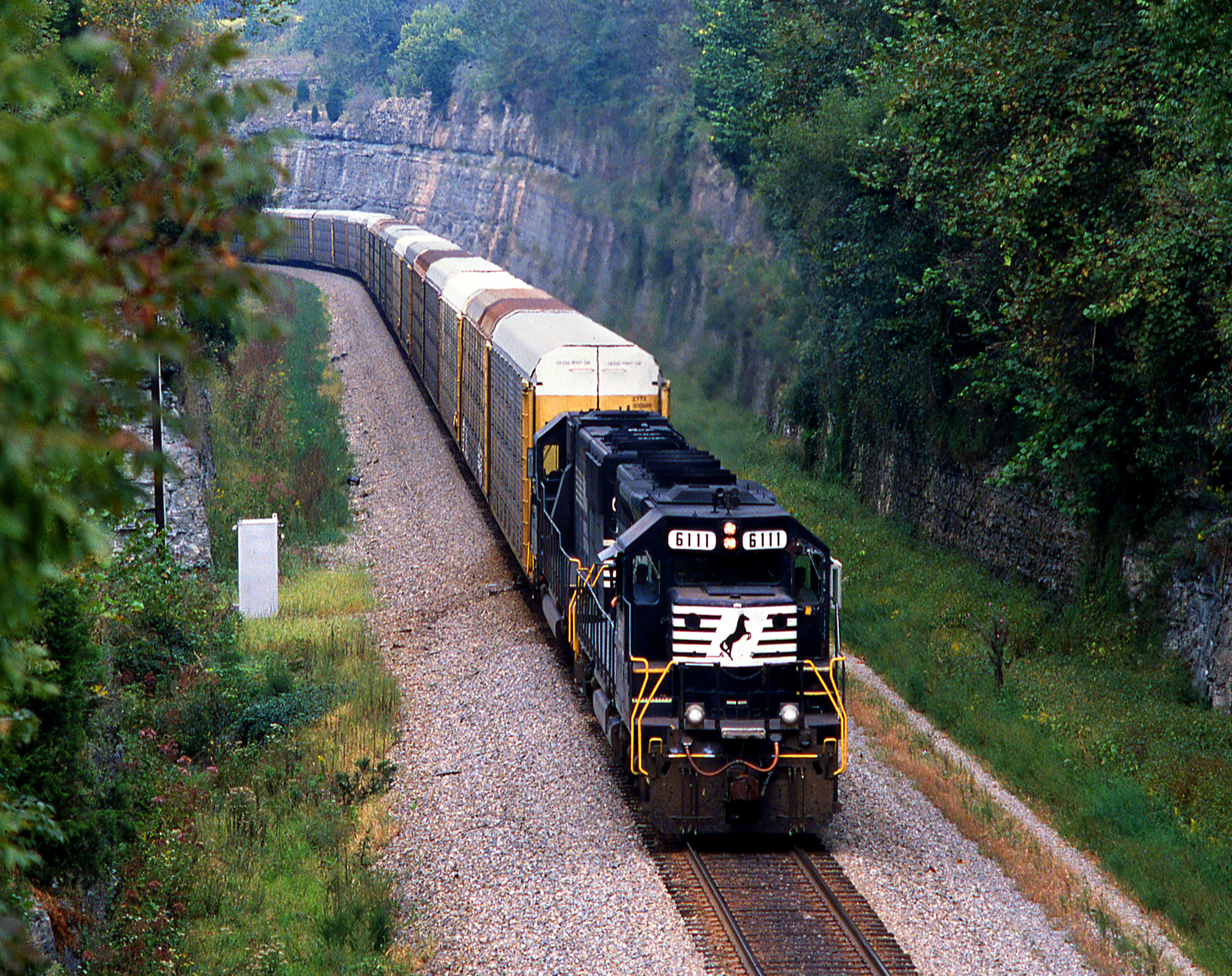
NS 6111 south Autorack Kings Mountain Kentucky 19.09.2003

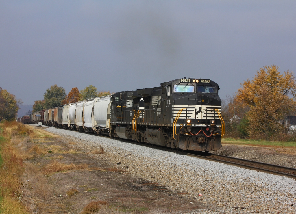
NS Train 698

Colonel Silas Adams Marker (Liberty, Kentucky)
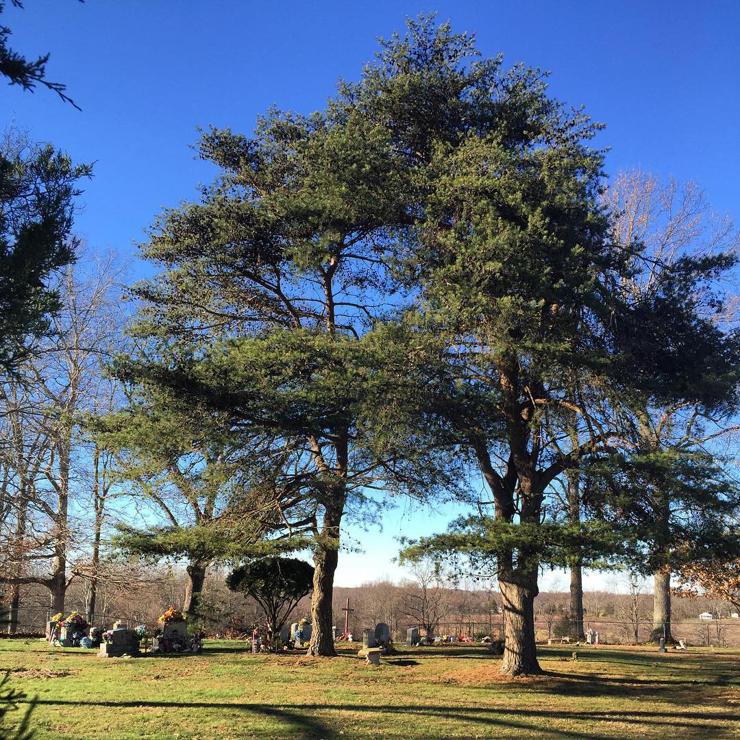
#cemetery #oldcemeteries #oldchurchyard #oldchurchyard
NS 197, Milledgeville,KY 3/21/2014
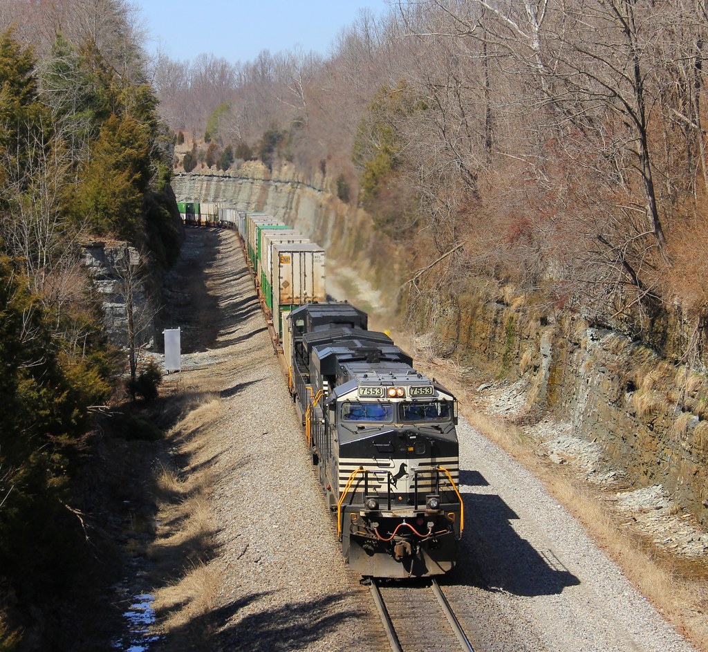
NS 229, Kings Mountain,KY 3/20/2014
Transition Phase
NS 111, Milledgeville,KY 10/26/2012

NS Train 52R
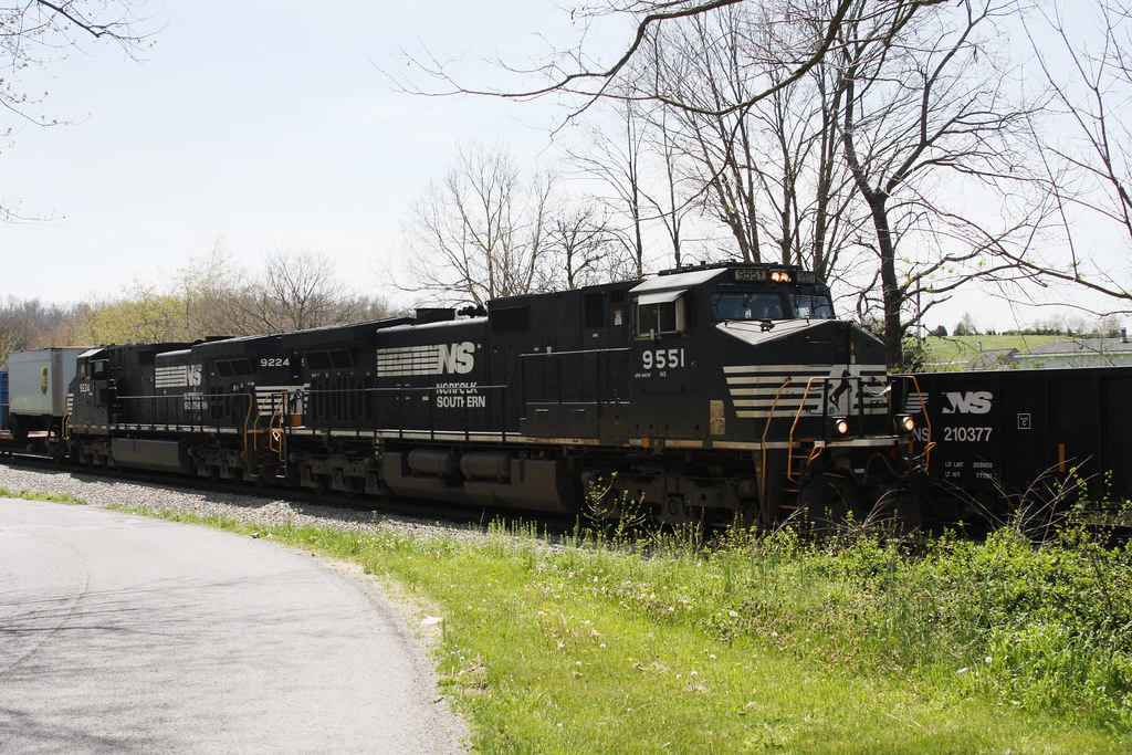
NS 9551 North
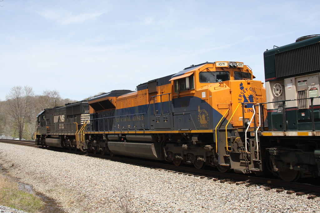
NS 1071 rolling northward near McKinney, KY
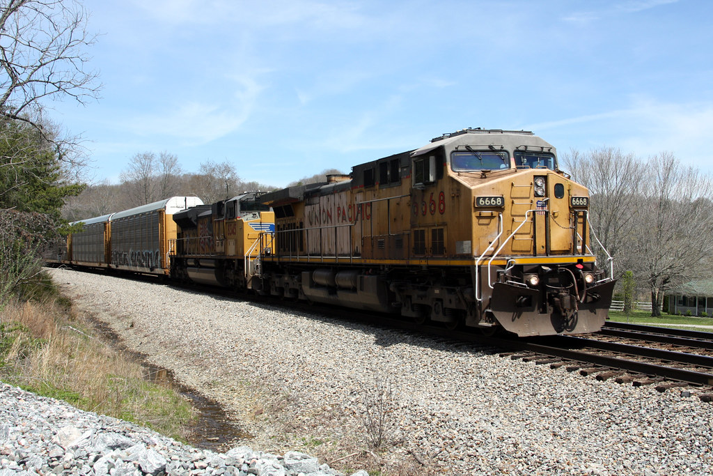
UP 6668 - 3
Topographic Map of High Ridge Tower Rd, Middleburg, KY, USA
Find elevation by address:

Places near High Ridge Tower Rd, Middleburg, KY, USA:
Yosemite
9892 Ky-70
Green River Rd, Hustonville, KY, USA
813 Fishing Creek Rd
520 Trusty Rd
Kings Mountain
Waynesburg
Hustonville
KY-78, Stanford, KY, USA
Lake Liberty St, Liberty, KY, USA
Casey County
KY-78, Hustonville, KY, USA
155 Fairlane Ave
155 Fairlane Ave
Oak Hill Rd, Liberty, KY, USA
Ky-, Hustonville, KY, USA
Eubank
8955 Ky-1247
Hwy, Stanford, KY, USA
Liberty
Recent Searches:
- Elevation of 7 Waterfall Way, Tomball, TX, USA
- Elevation of SW 57th Ave, Portland, OR, USA
- Elevation of Crocker Dr, Vacaville, CA, USA
- Elevation of Pu Ngaol Community Meeting Hall, HWHM+3X7, Krong Saen Monourom, Cambodia
- Elevation of Royal Ontario Museum, Queens Park, Toronto, ON M5S 2C6, Canada
- Elevation of Groblershoop, South Africa
- Elevation of Power Generation Enterprises | Industrial Diesel Generators, Oak Ave, Canyon Country, CA, USA
- Elevation of Chesaw Rd, Oroville, WA, USA
- Elevation of N, Mt Pleasant, UT, USA
- Elevation of 6 Rue Jules Ferry, Beausoleil, France