Elevation of Fishing Creek Rd, Yosemite, KY, USA
Location: United States > Kentucky > Casey County > Yosemite >
Longitude: -84.759576
Latitude: 37.2772023
Elevation: 350m / 1148feet
Barometric Pressure: 97KPa
Elevation Map:
Satellite Map:
Related Photos:
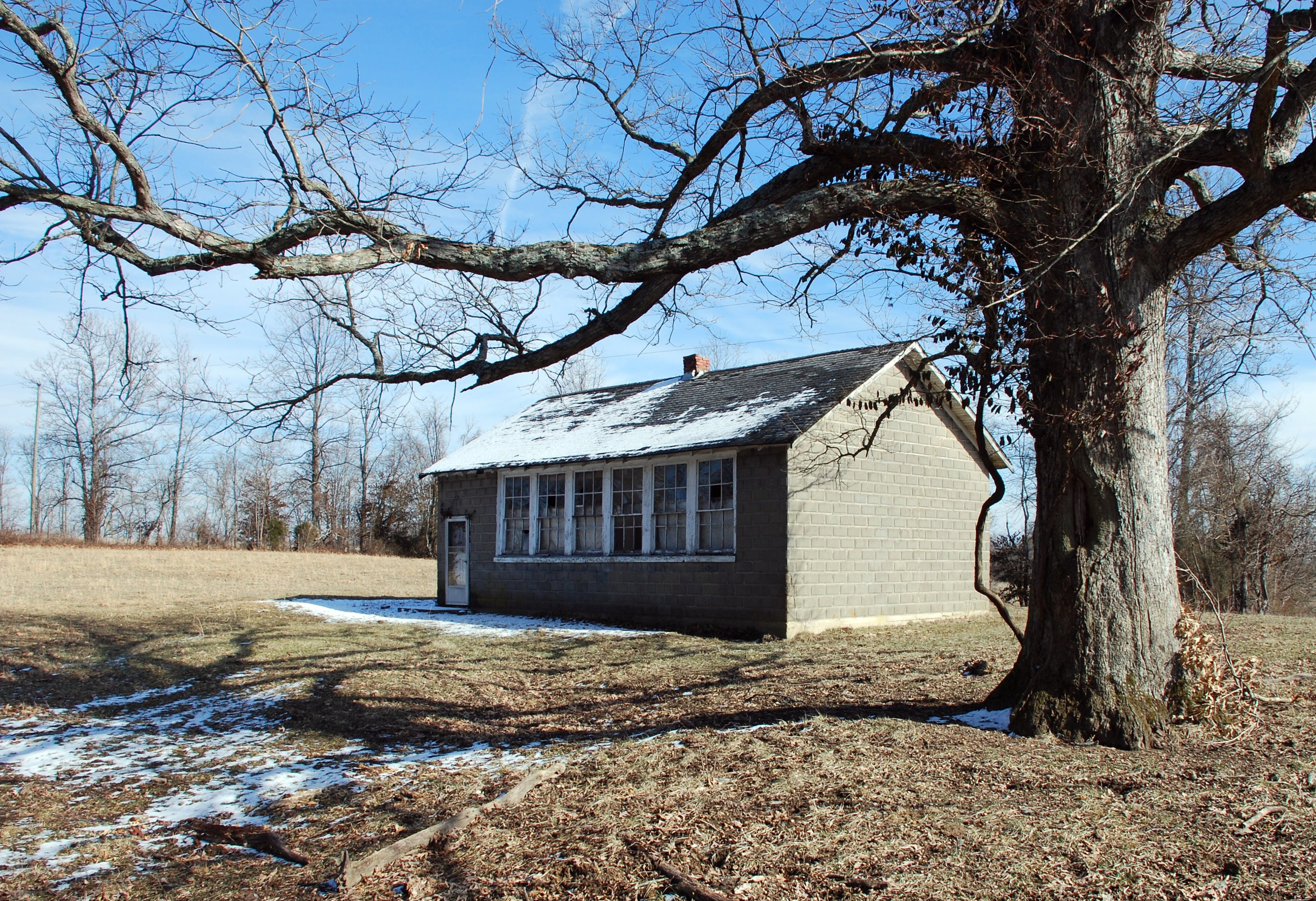
Duncan School
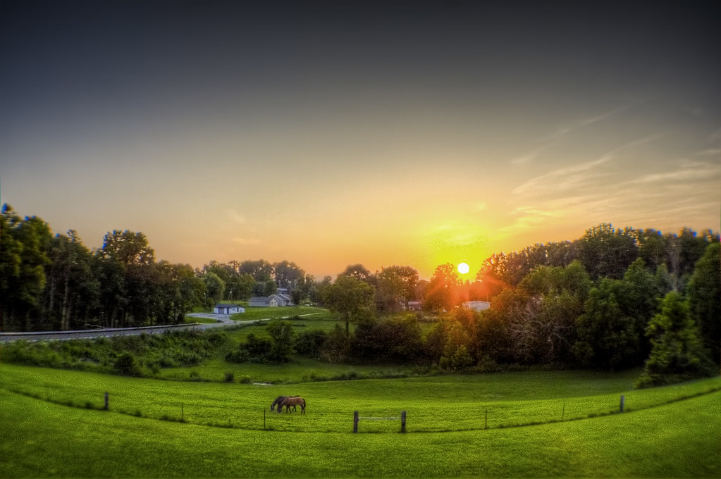
Kentucky Sunset

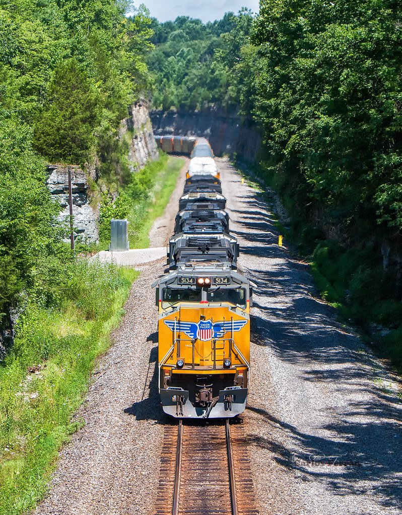
NS Train 133

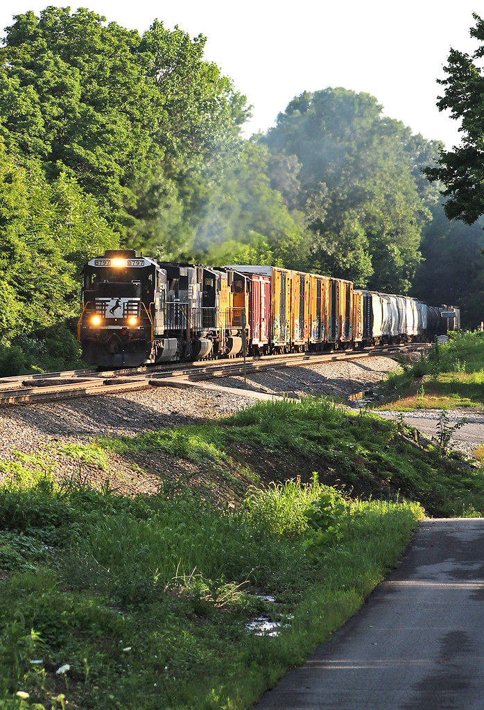
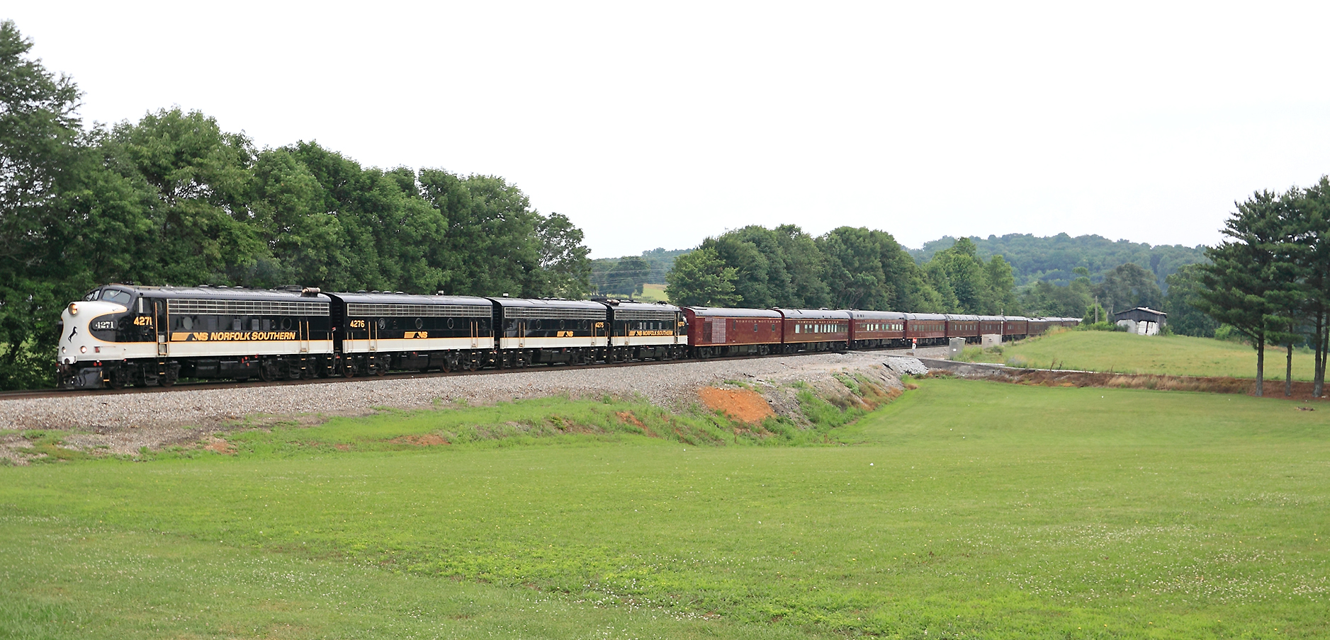
NS 4271 at Kings Mountain, KY

NS Train 22A
IMG_1450.JPG
IMG_1447.JPG
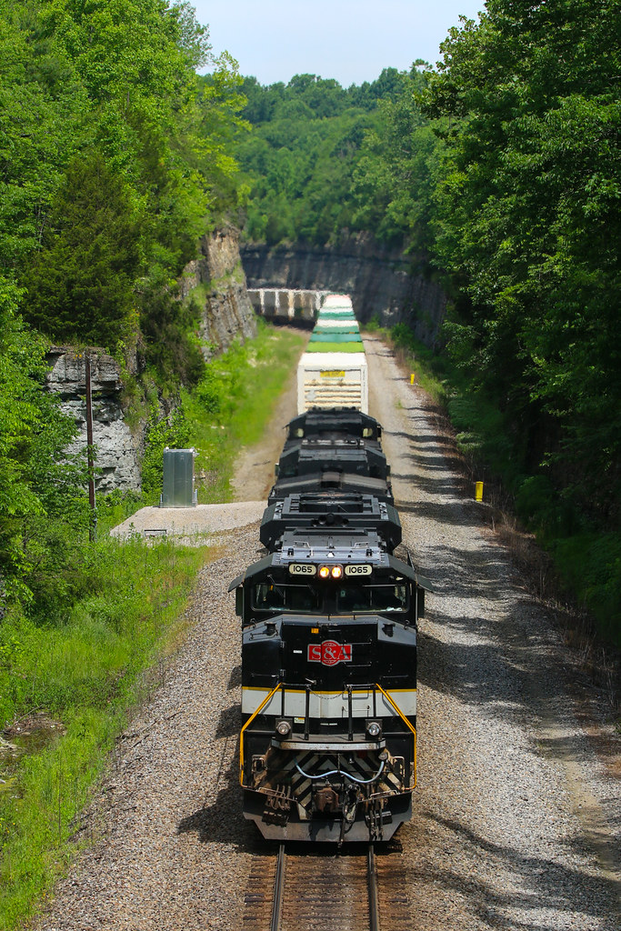
A Cut Above
NS 177 at Waynesburg, Ky

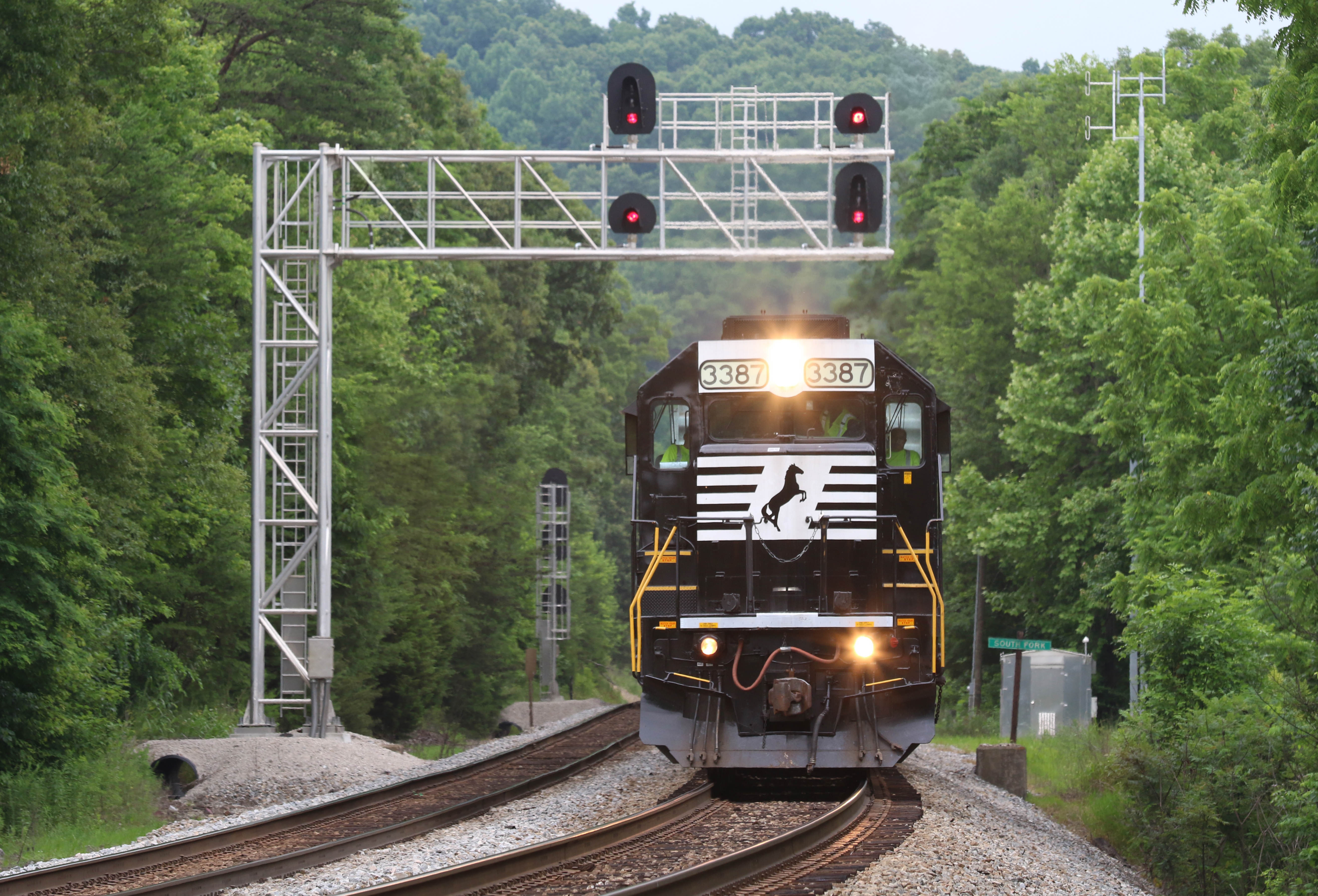
NS 224 Northbound at Southfork, KY
NS 224 Northbound at Southfork, KY
A brand new (And already dead) GE T4 is making its first trip after delivery, seen here on NS 178 at Southfork, KY
NS 951 Southbound near Science Hill, Ky
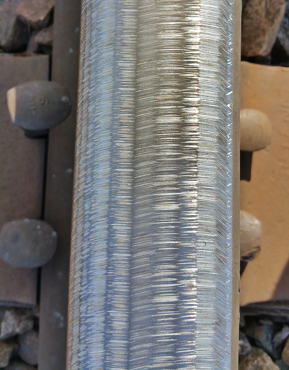
Freshly ground rail at Southfork, KY
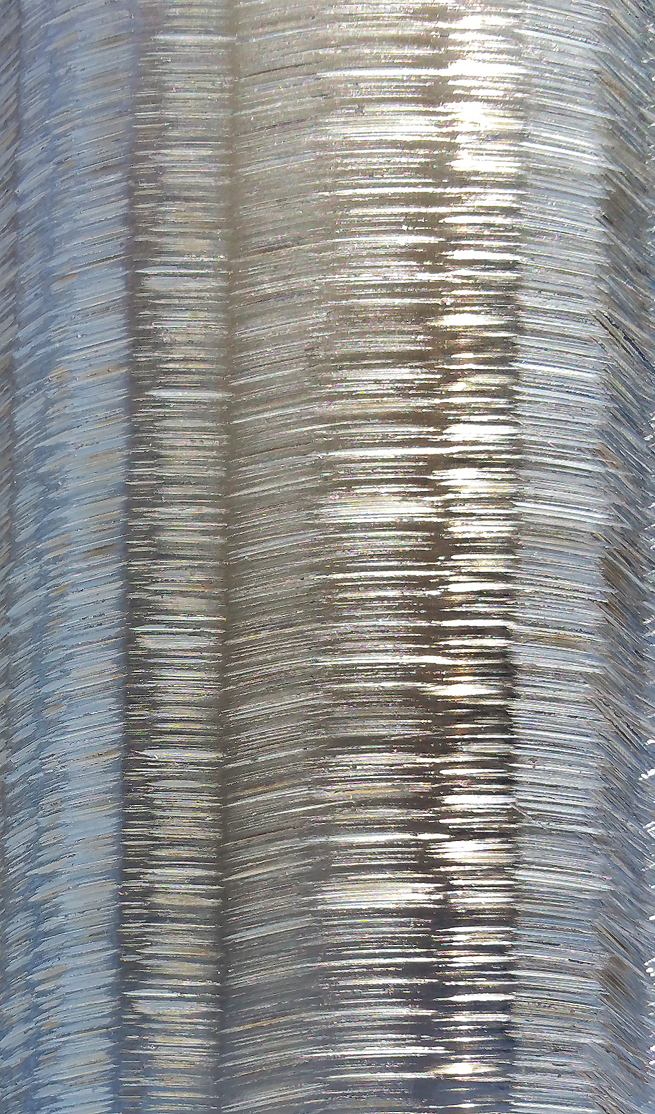
Freshly ground rail at Southfork, KY
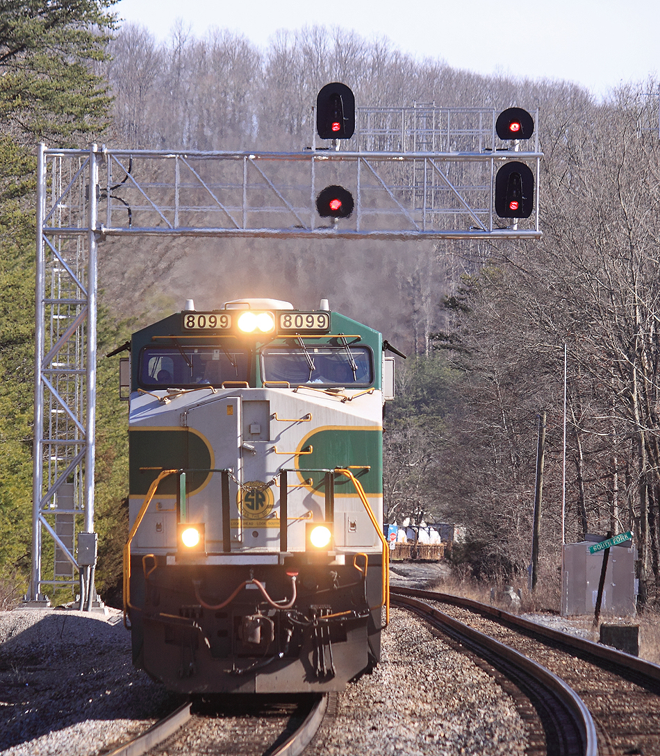
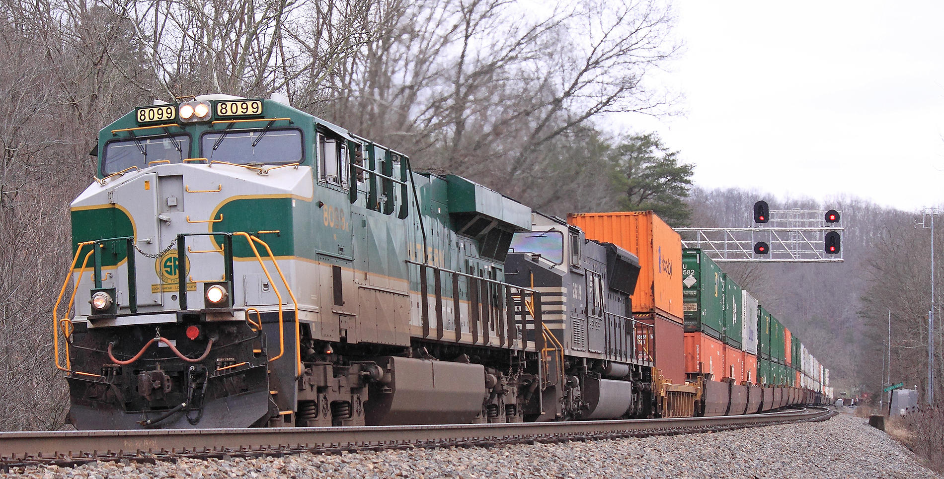
Southern 8099 leads NS 22A North at Southfork, KY
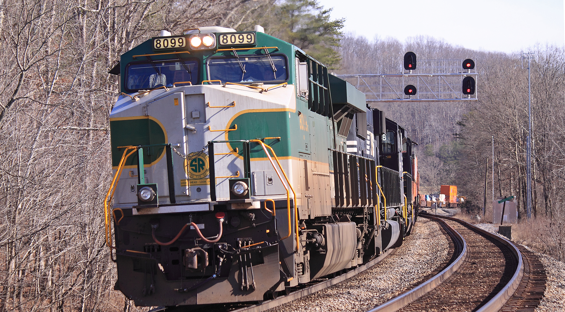
Southern 8099 leads NS 22A North at Southfork, KY
NS 179 at Science Hill, Ky
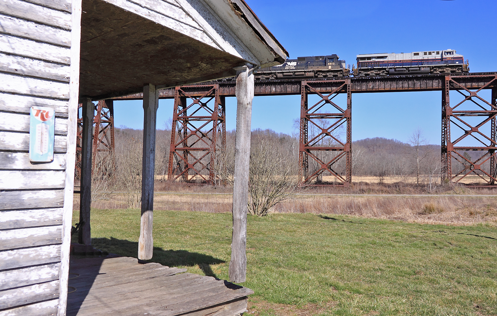
The Central of Georgia Heritage unit leads NS 215 across the Green RIver Bridge at Southfork, KY

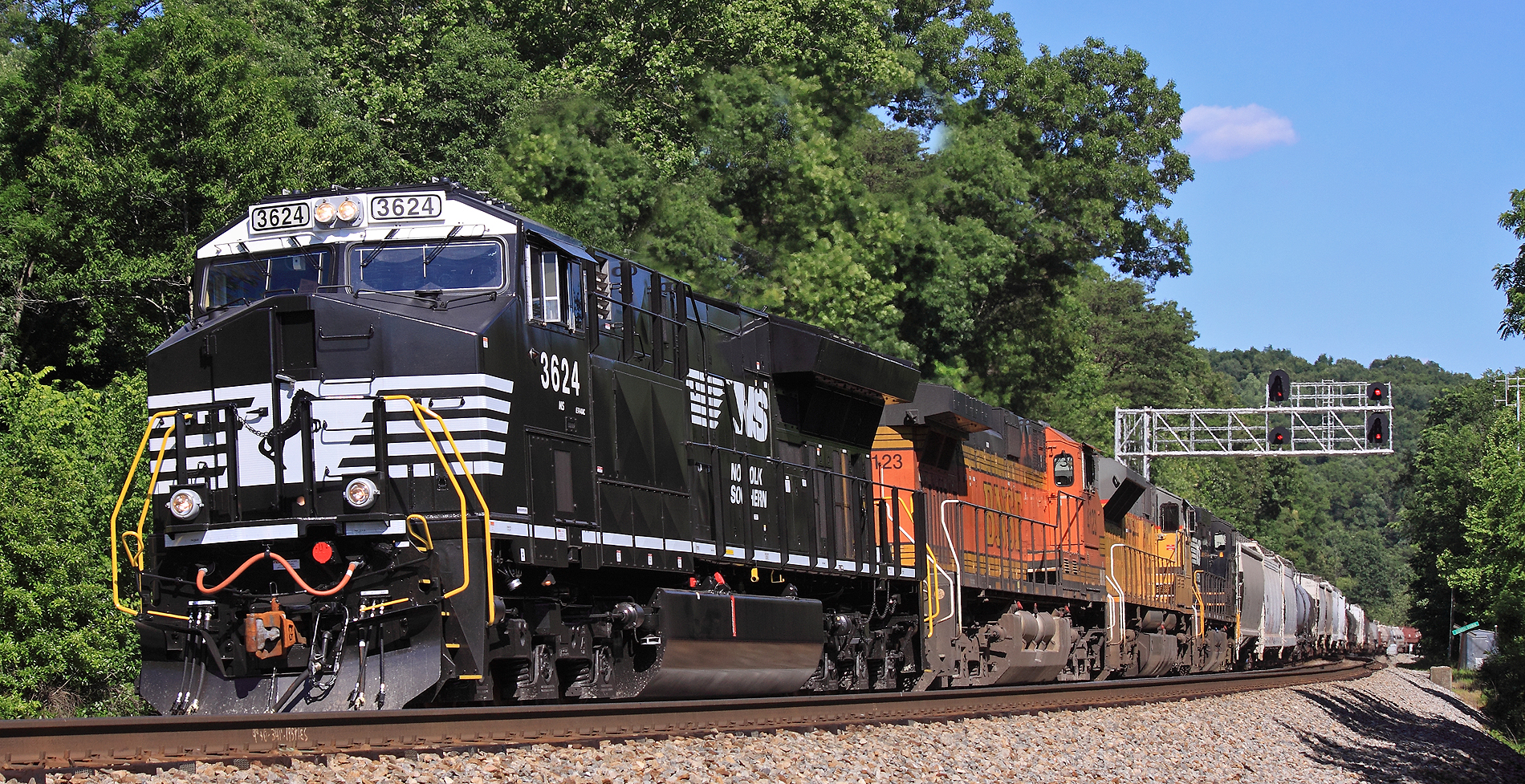
A former BN "Tri-clops" SD60M leads NS 143 at Gradison, KY

Caitlin bonem
Camp Train at South Fork

NS 229, Kings Mountain,KY 5/31/2016
NS 215, Kings Mountain,KY 5/31/2016
Topographic Map of Fishing Creek Rd, Yosemite, KY, USA
Find elevation by address:

Places near Fishing Creek Rd, Yosemite, KY, USA:
Oak Hill Rd, Liberty, KY, USA
9892 Ky-70
405 High Ridge Tower Rd
Yosemite
Eubank
Waynesburg
KY-, Science Hill, KY, USA
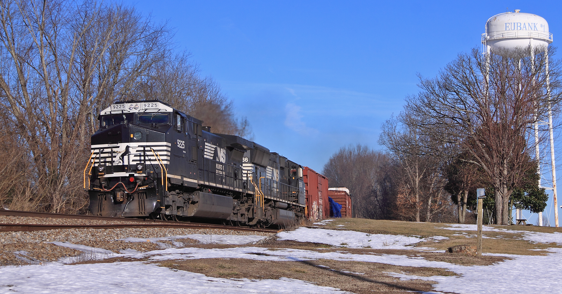
Floyd Switch Spur, Eubank, KY, USA
Kings Mountain
Casey County
25 Absher Ln
Lake Liberty St, Liberty, KY, USA
Rayborn Hill Rd, Liberty, KY, USA
Poplar Springs Rd, Liberty, KY, USA
Science Hill
Science Hill
Langdon St, Somerset, KY, USA
520 Trusty Rd
Green River Rd, Hustonville, KY, USA
59 E Todd Rd
Recent Searches:
- Elevation of 7 Waterfall Way, Tomball, TX, USA
- Elevation of SW 57th Ave, Portland, OR, USA
- Elevation of Crocker Dr, Vacaville, CA, USA
- Elevation of Pu Ngaol Community Meeting Hall, HWHM+3X7, Krong Saen Monourom, Cambodia
- Elevation of Royal Ontario Museum, Queens Park, Toronto, ON M5S 2C6, Canada
- Elevation of Groblershoop, South Africa
- Elevation of Power Generation Enterprises | Industrial Diesel Generators, Oak Ave, Canyon Country, CA, USA
- Elevation of Chesaw Rd, Oroville, WA, USA
- Elevation of N, Mt Pleasant, UT, USA
- Elevation of 6 Rue Jules Ferry, Beausoleil, France