Elevation of Hickory, KY, USA
Location: United States > Kentucky > Graves County >
Longitude: -88.647549
Latitude: 36.8225566
Elevation: 128m / 420feet
Barometric Pressure: 100KPa
Elevation Map:
Satellite Map:
Related Photos:
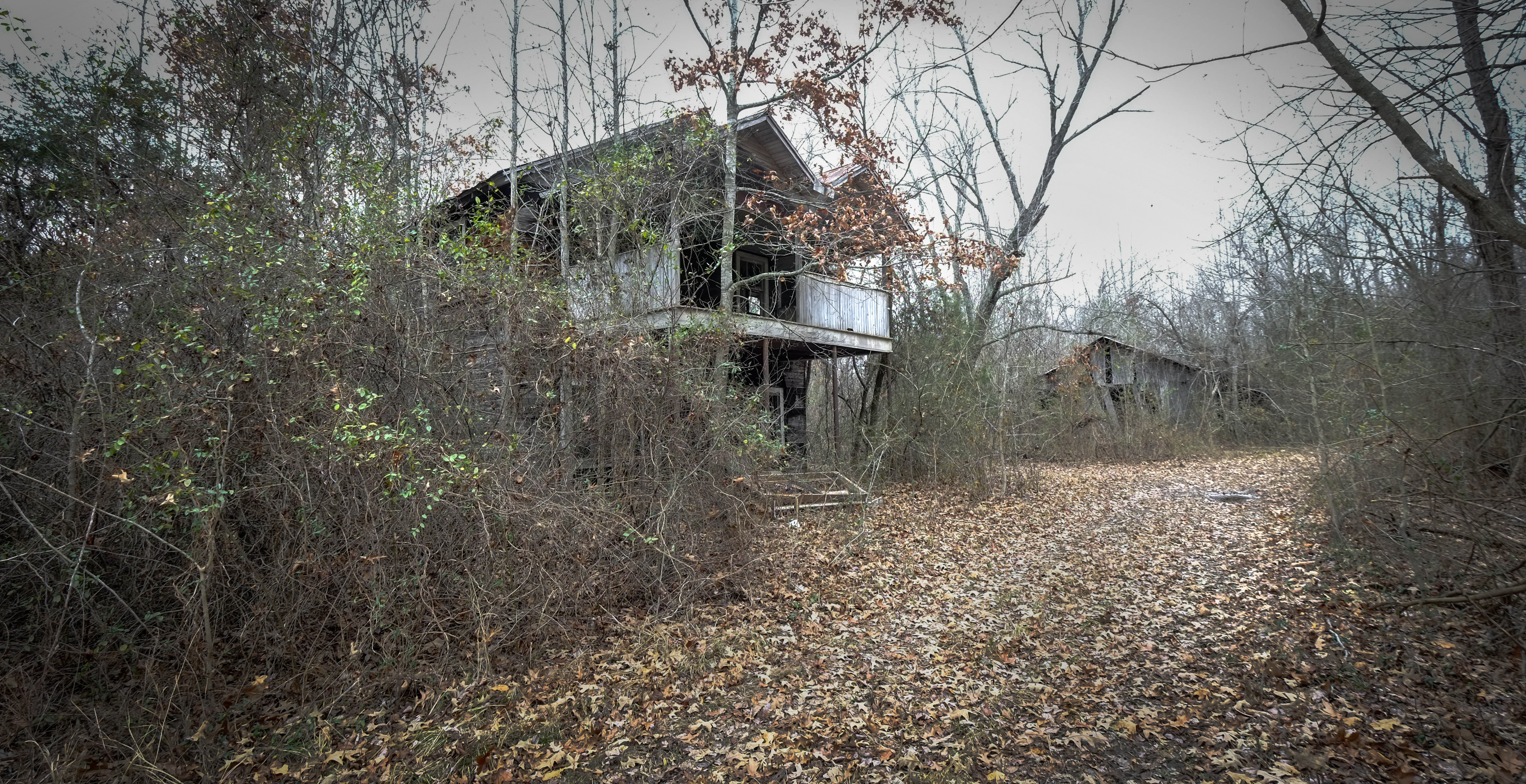
Carter's Mill General Store

Tree and Barn_BW

Carter General Store, Carter's Mill, Symsonia, KY

Golden bales

4:41 PM
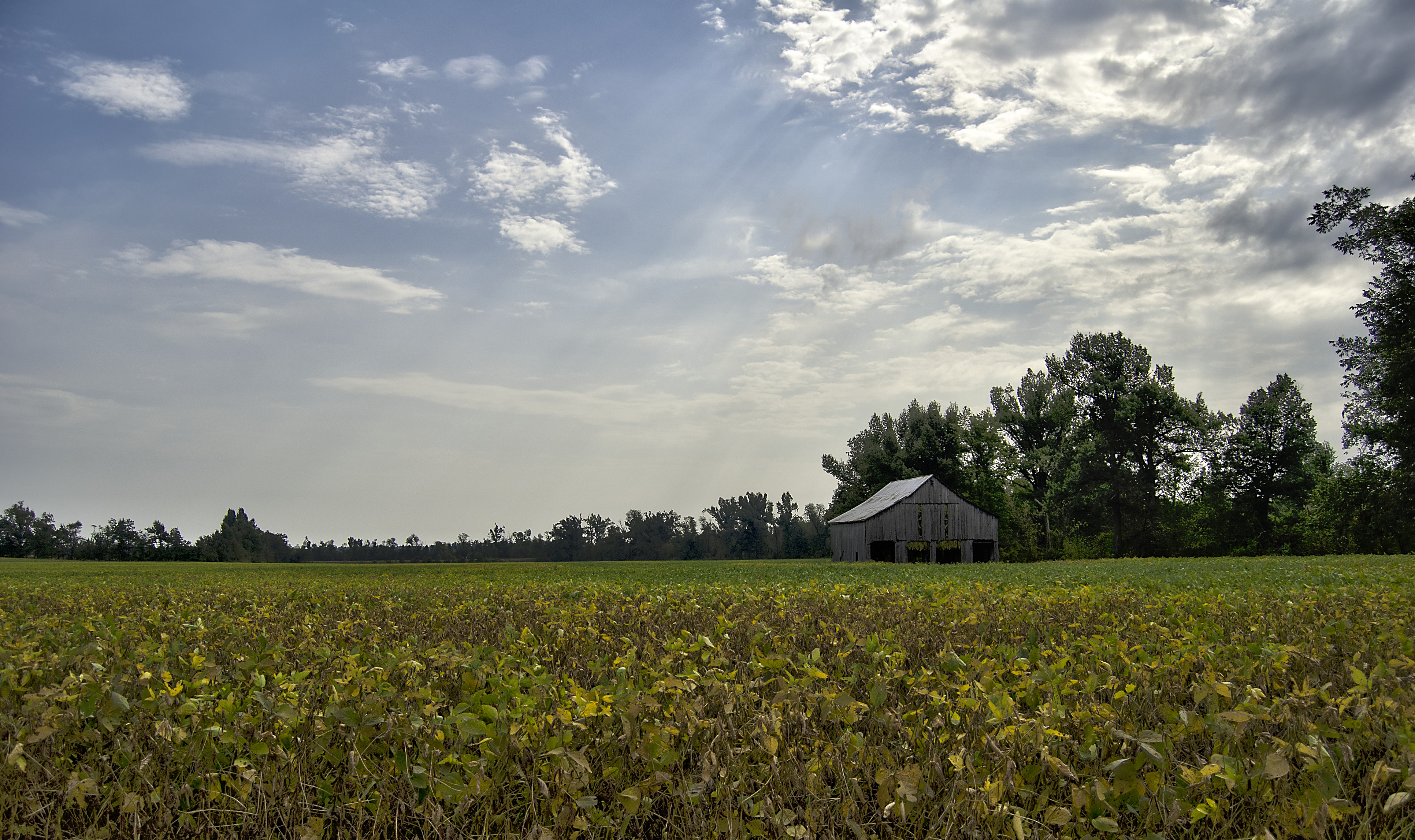
Tobacco Barn in the Soy

Lovely Sunset

Symsonia Barn_Textured
ALL THE WAY GOOD

1st Baptist
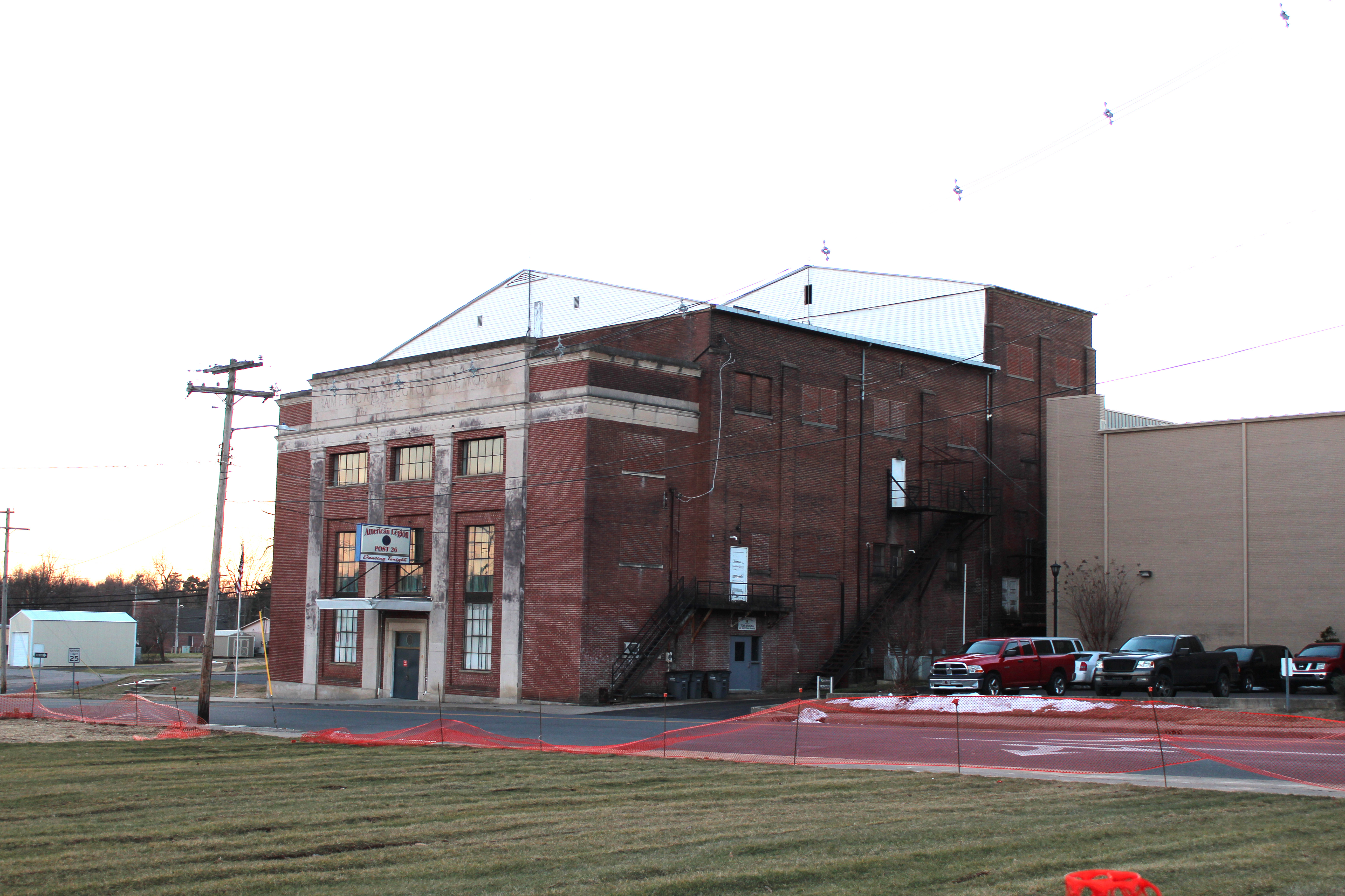
Legion Theatre
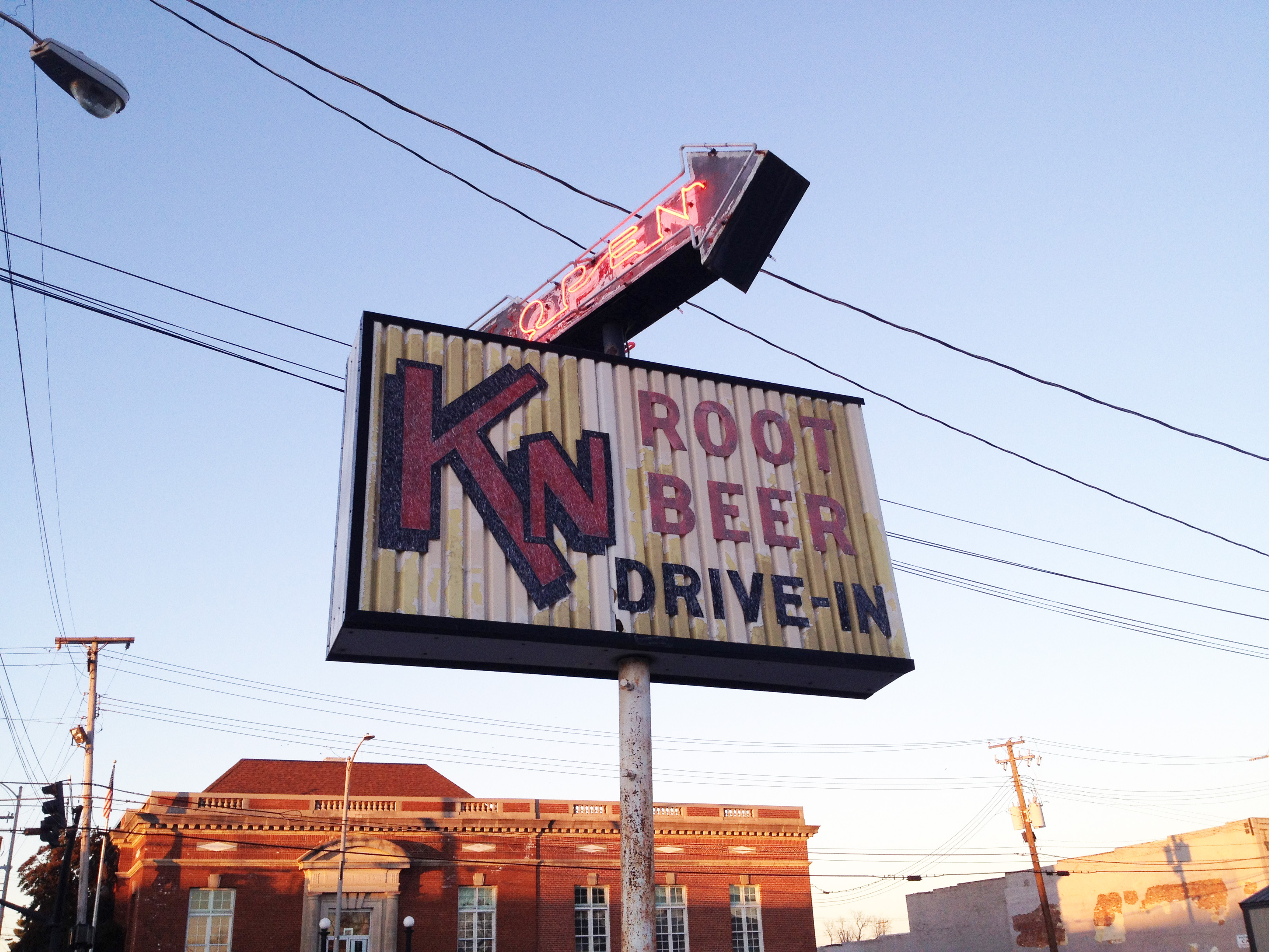
KN Root Beer
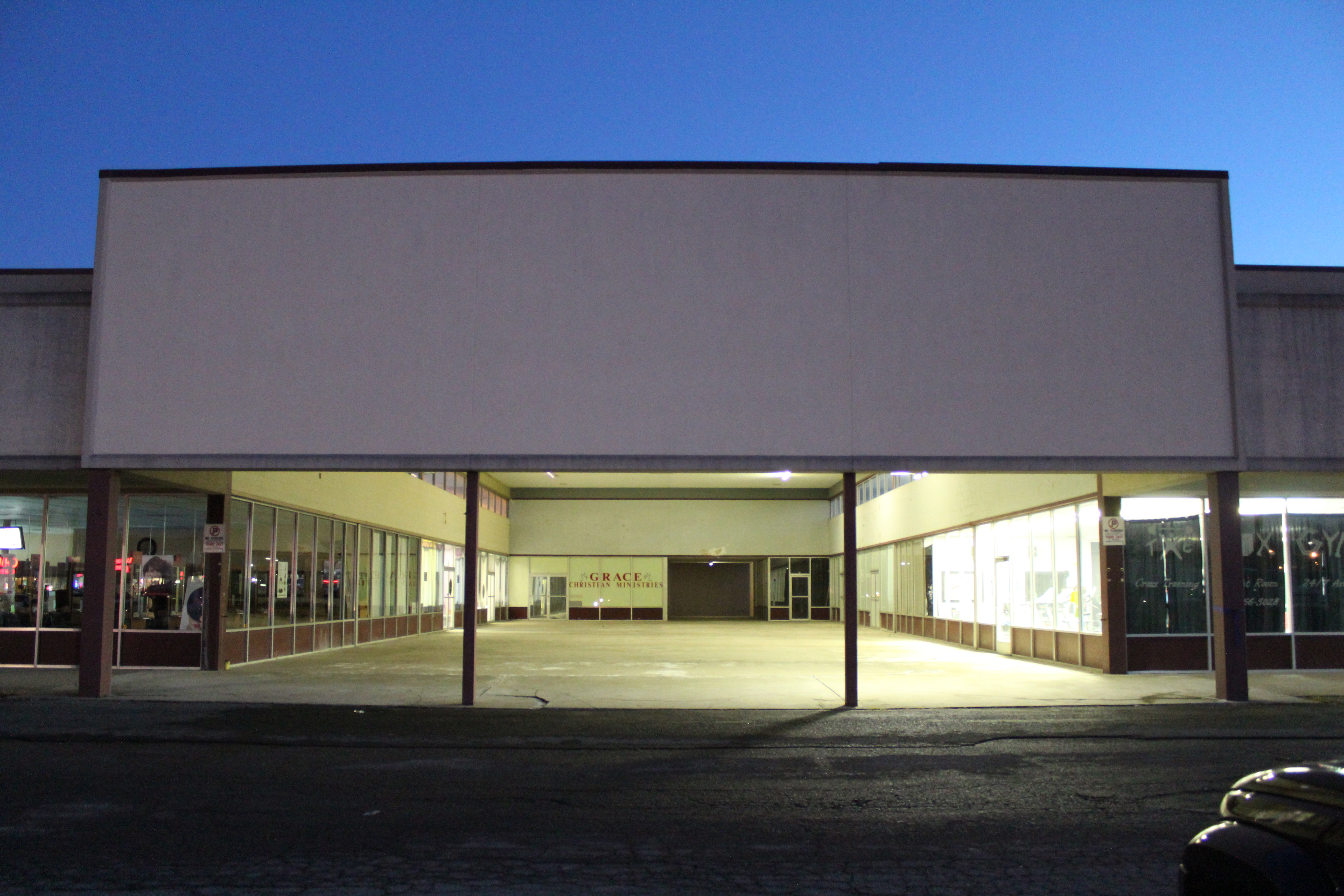
Mayfield Plaza arcade
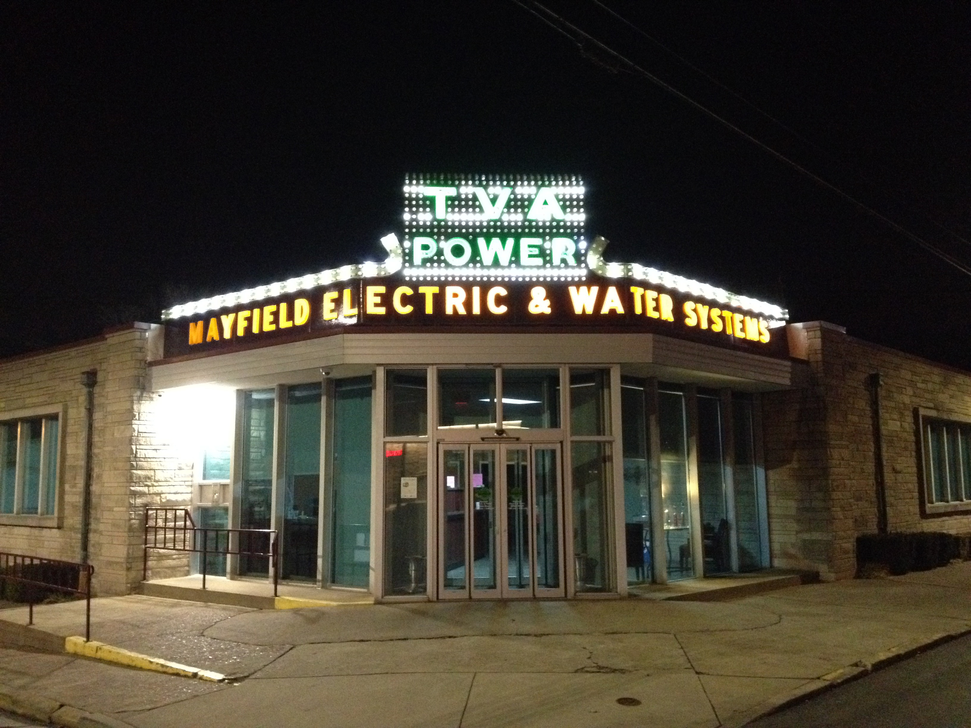
TVA at night
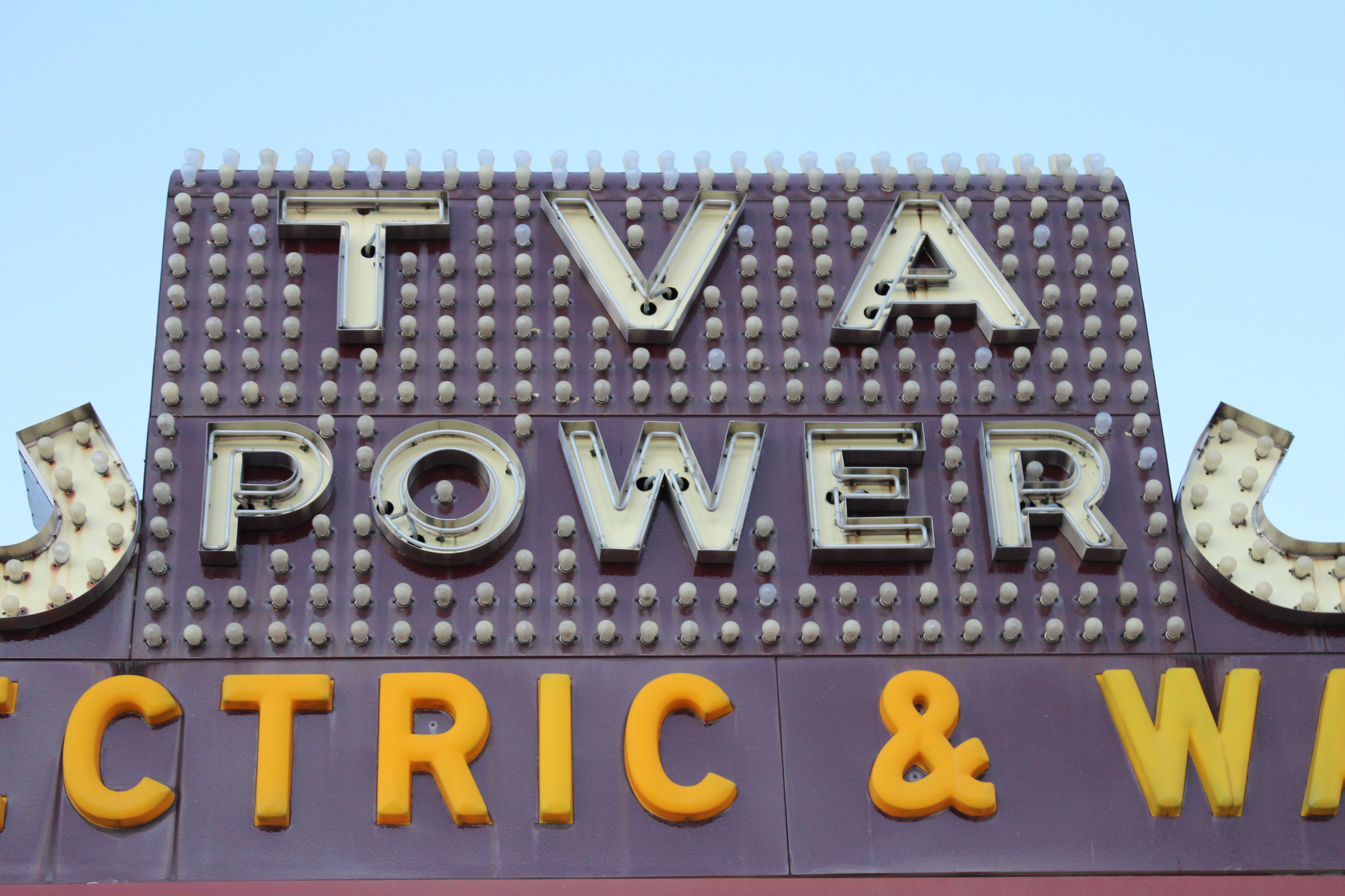
TVA sign detail

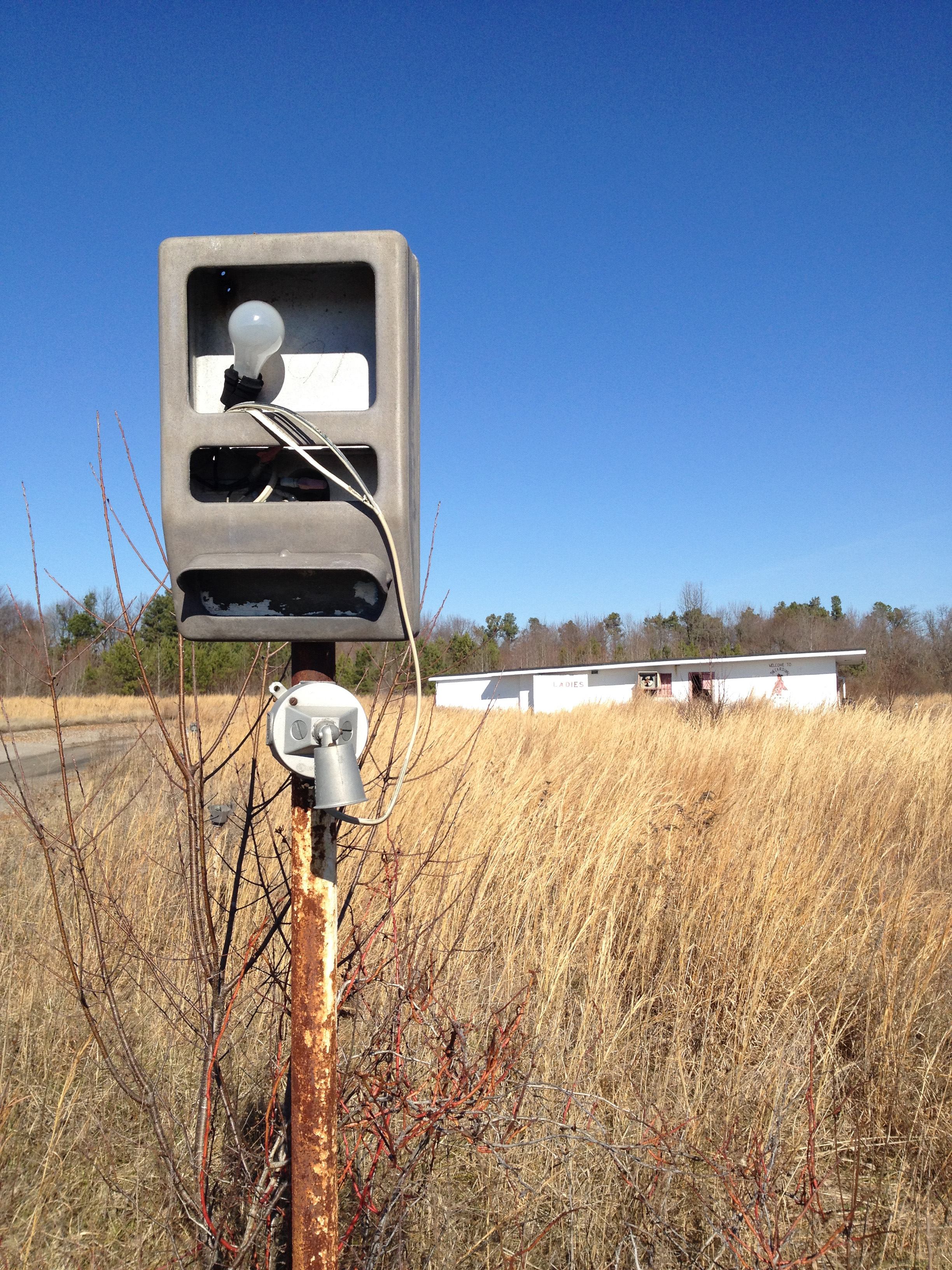
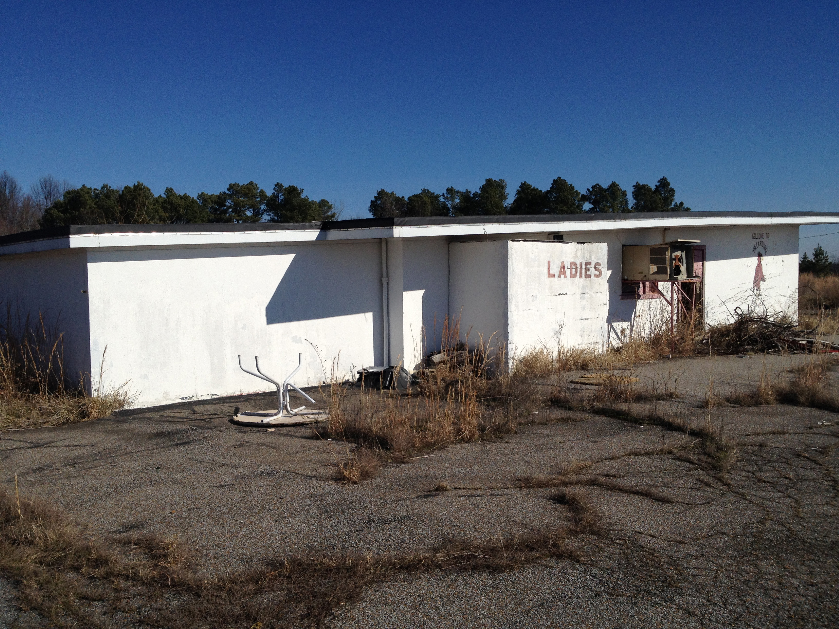
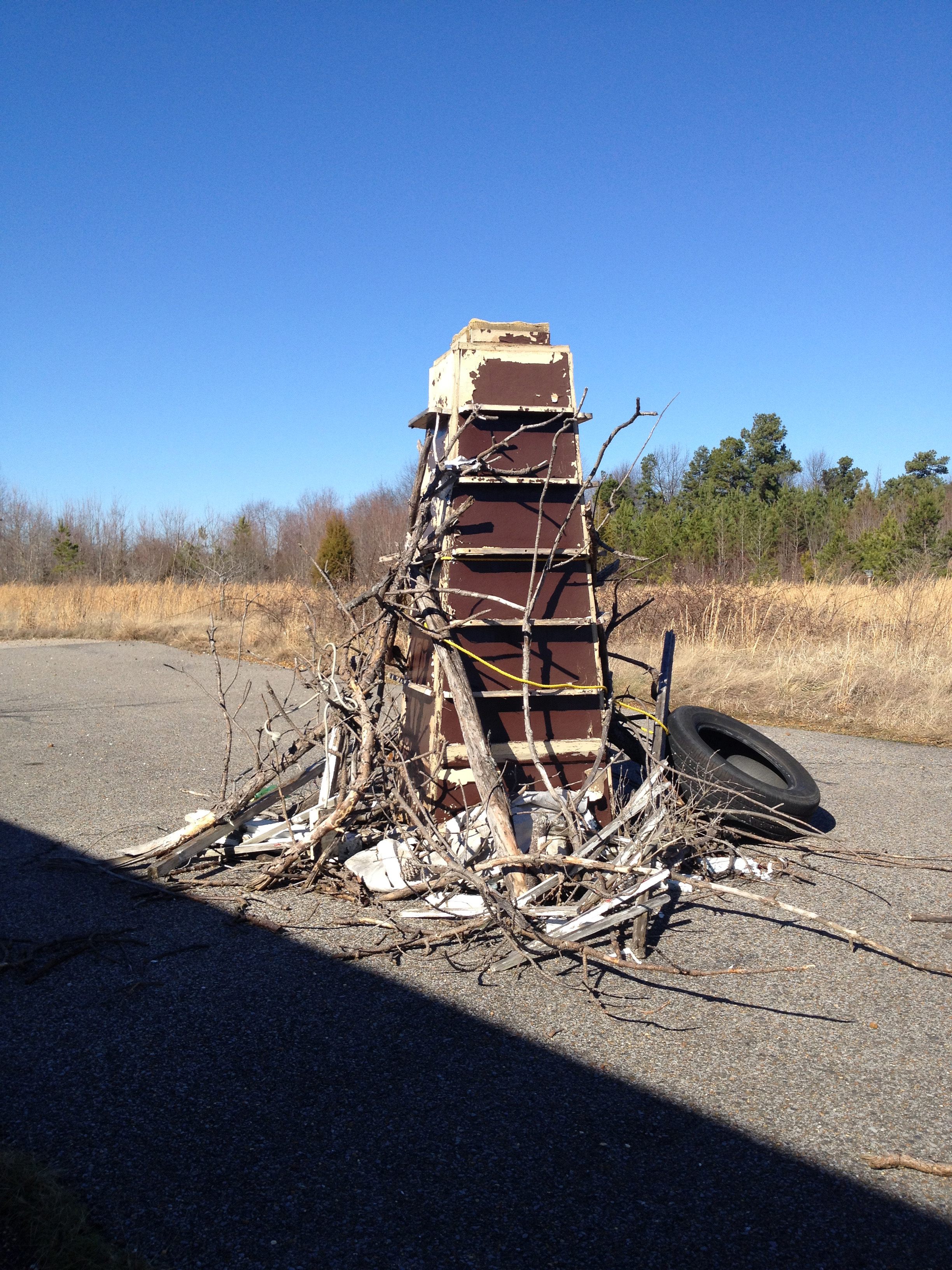
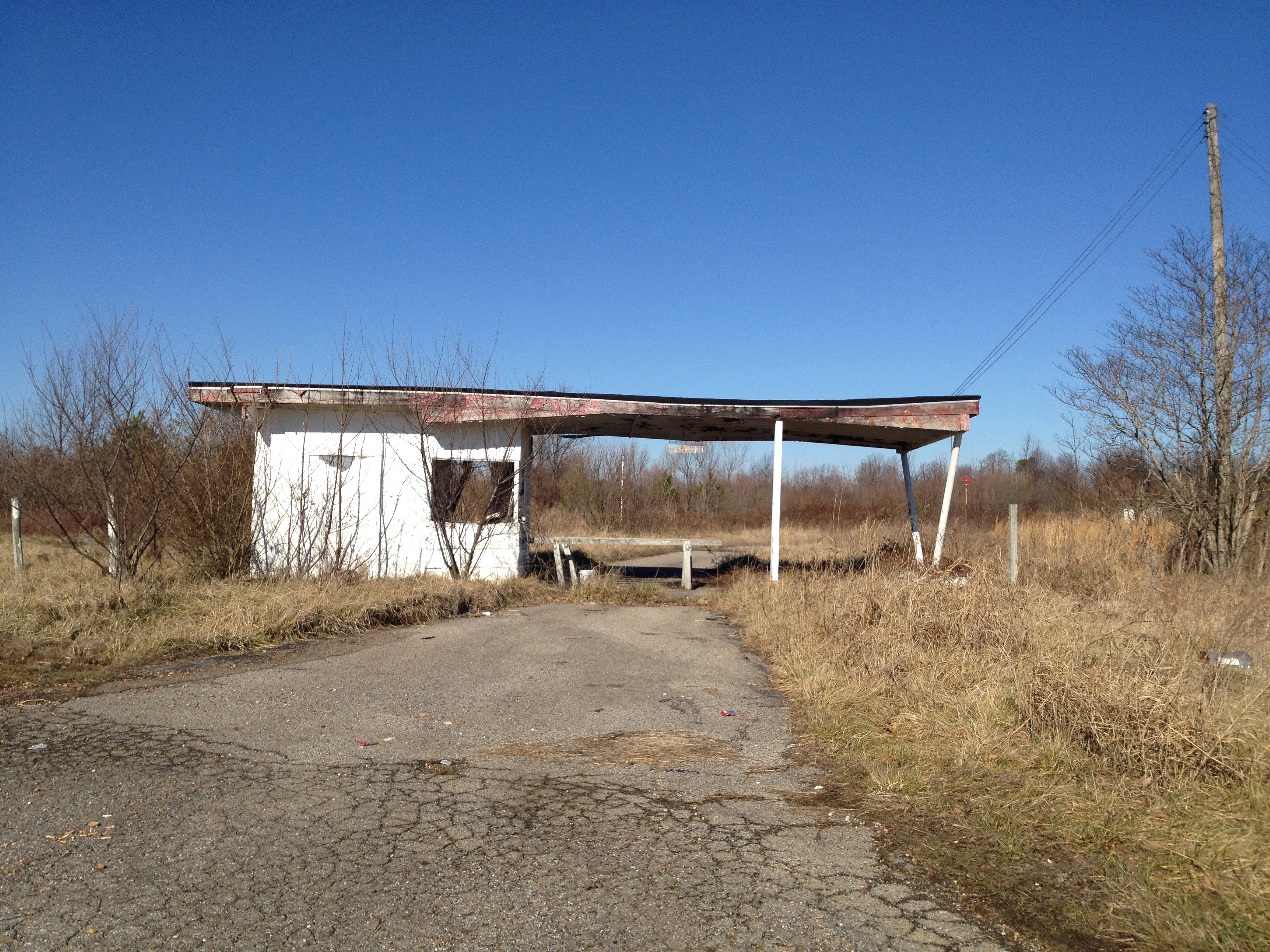
Cardinal Drive-In
Cardinal Drive-In
Cardinal Drive-In
Cardinal Drive-In
Cardinal Drive-In

Wingfield Inn

Wingfield Inn
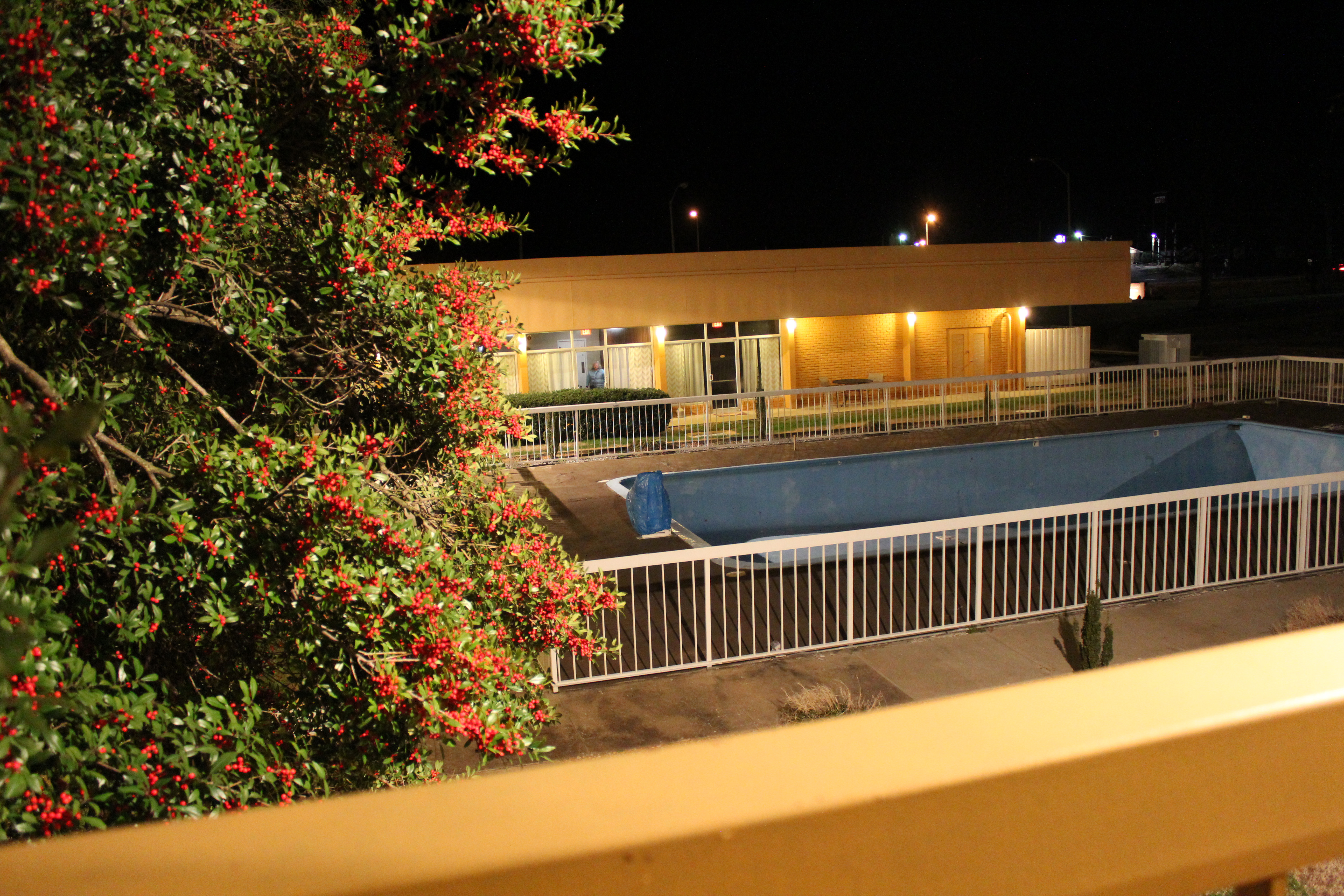
Wingfield Inn
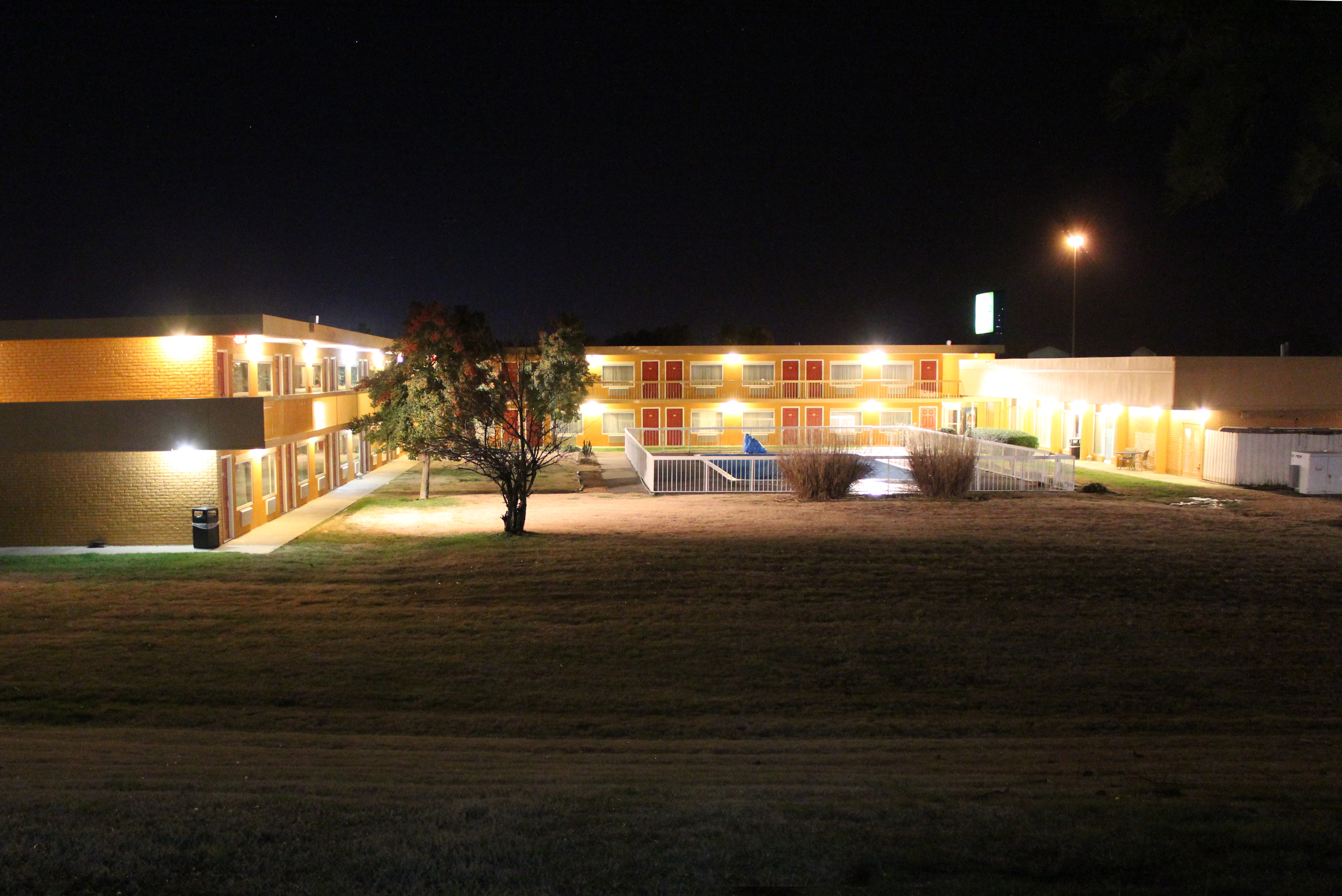
Wingfield Inn
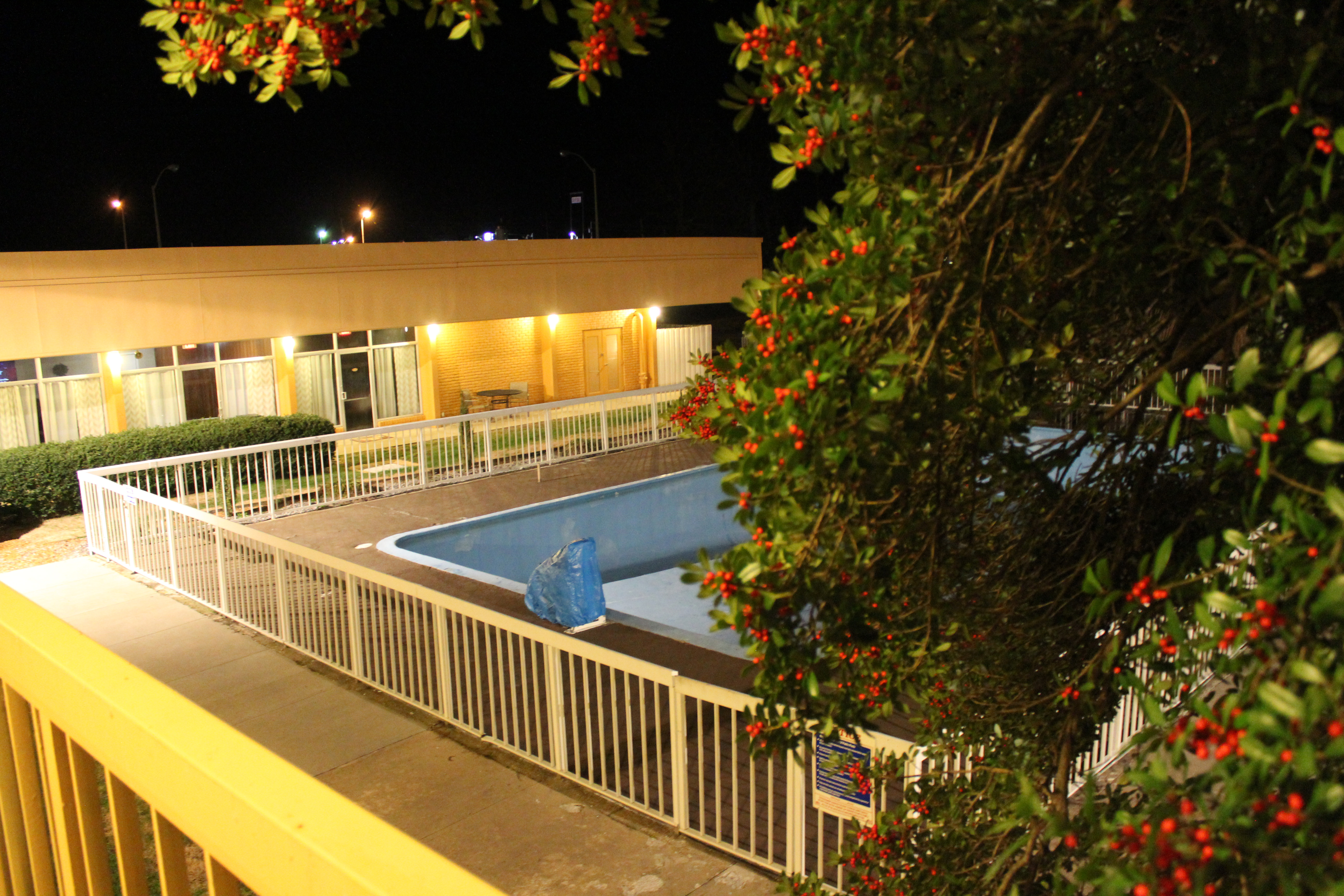
Wingfield Inn

Wingfield Inn
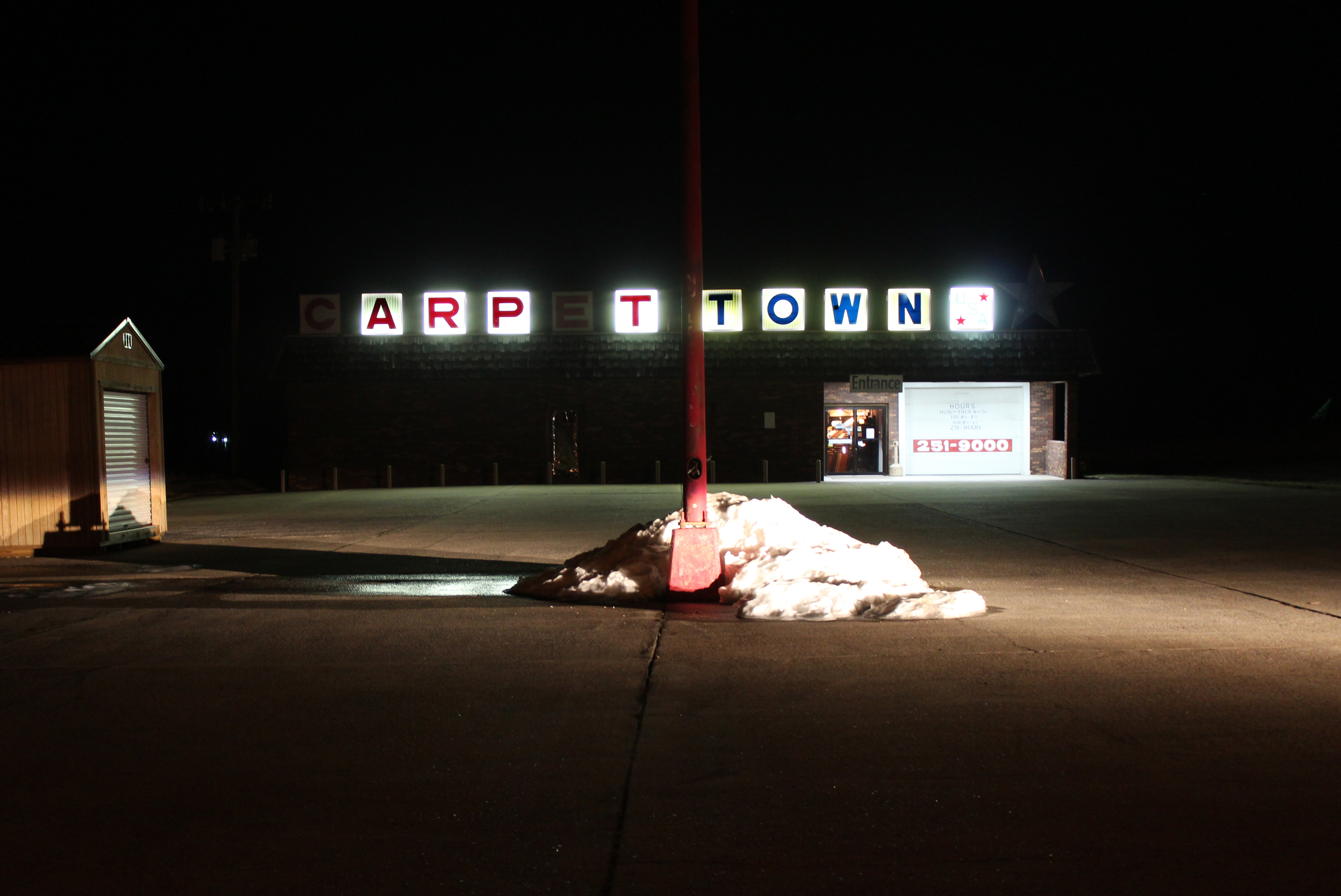
Carpet Town

Graves County courthouse

Mayfield Printing

Plaza mailbox
Topographic Map of Hickory, KY, USA
Find elevation by address:

Places in Hickory, KY, USA:
Places near Hickory, KY, USA:
1651 Us-45
Boaz
182 Cope Rd
60 Parrott St, Hickory, KY, USA
Mayfield
E South St, Mayfield, KY, USA
U.s. 45
2818 Ky-80
145 Bel Aire Dr
High Point Baptist Church
Mayfield, KY, USA
7545 Ky-80
189 Pleasure Dr
1661 Central Rd
141 Ky-339
Fancy Farm
Saint Johns
Graves County
375 Elder Rd
Freemont
Recent Searches:
- Elevation of Corso Fratelli Cairoli, 35, Macerata MC, Italy
- Elevation of Tallevast Rd, Sarasota, FL, USA
- Elevation of 4th St E, Sonoma, CA, USA
- Elevation of Black Hollow Rd, Pennsdale, PA, USA
- Elevation of Oakland Ave, Williamsport, PA, USA
- Elevation of Pedrógão Grande, Portugal
- Elevation of Klee Dr, Martinsburg, WV, USA
- Elevation of Via Roma, Pieranica CR, Italy
- Elevation of Tavkvetili Mountain, Georgia
- Elevation of Hartfords Bluff Cir, Mt Pleasant, SC, USA