Elevation of Hetzler Rd, Rochester Mills, PA, USA
Location: United States > Pennsylvania > Indiana County > Grant Township >
Longitude: -78.968559
Latitude: 40.812013
Elevation: 490m / 1608feet
Barometric Pressure: 96KPa
Elevation Map:
Satellite Map:
Related Photos:
2017 10-19 1346 RJC SD40-2-7084 E/B RJC-2 Clymer, PA
Phil's View on Feb Two

Look at the View

"Look at the View"
Groundhog Zoo
View from Behind the Stump
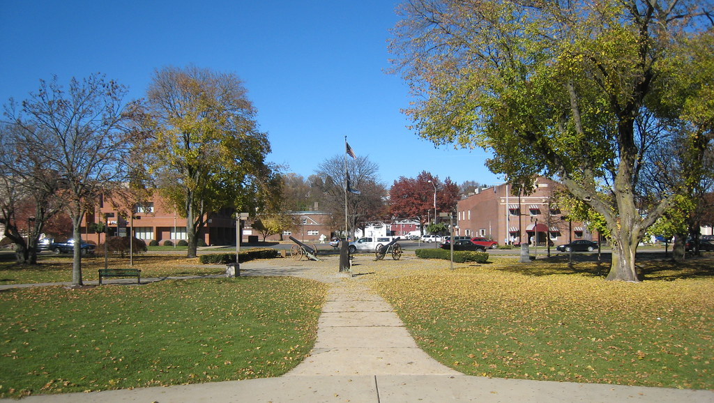
The View of Barclay Square from the Bandstand
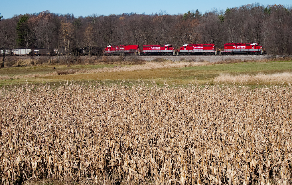
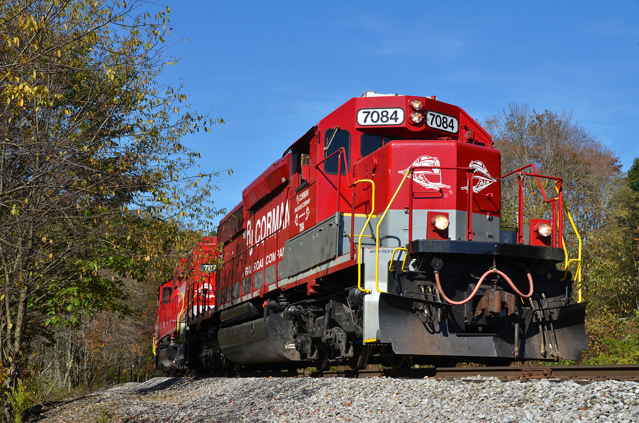
R.J. Corman EMD SD40-2 7084
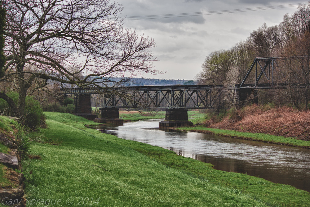
Mahoning Creek Lake / Abandoned Railroad Bridge , Punxsutawney
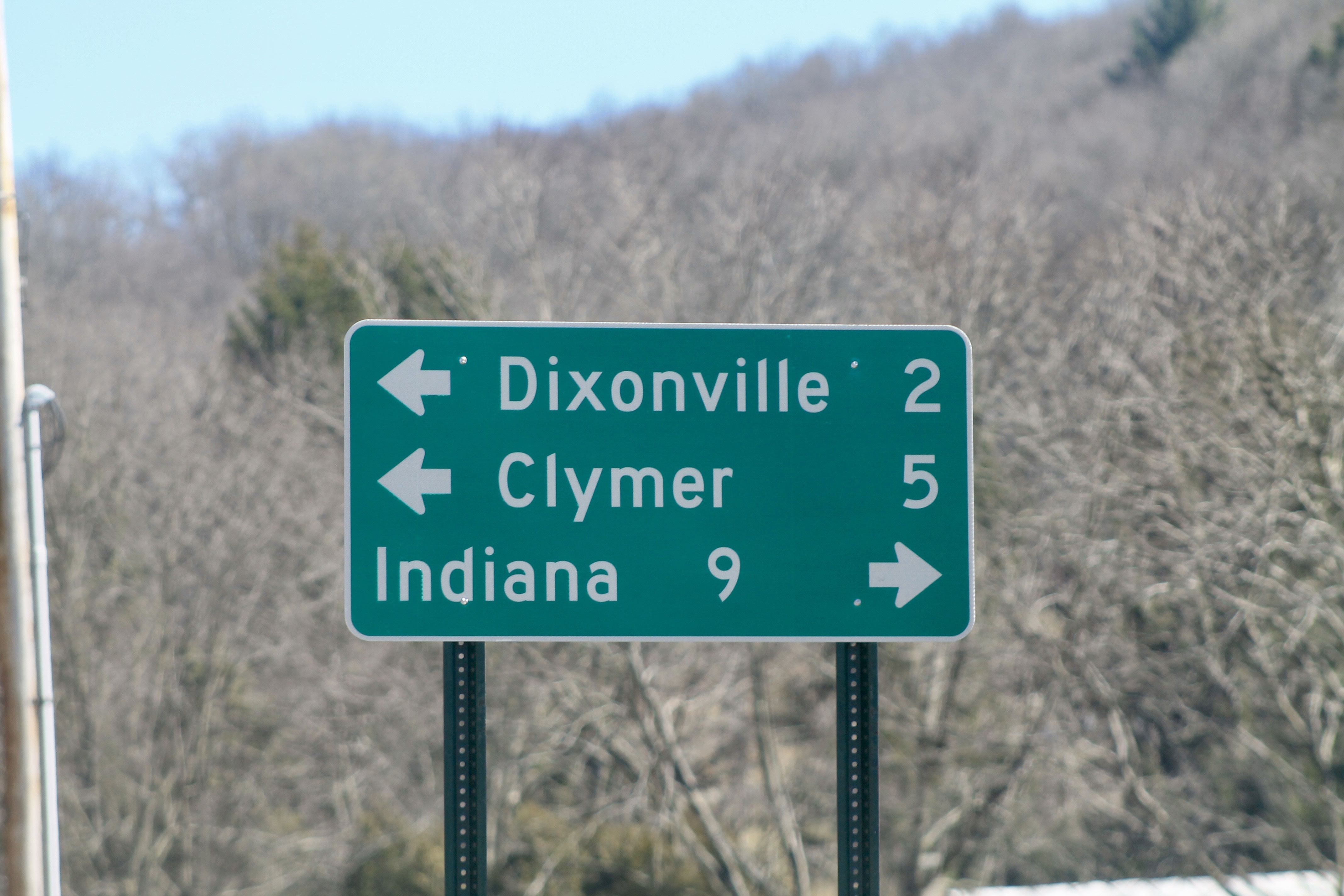
Directional sign in Tanoma, PA
Topographic Map of Hetzler Rd, Rochester Mills, PA, USA
Find elevation by address:

Places near Hetzler Rd, Rochester Mills, PA, USA:
2670 Hetzler Rd
2670 T830
Julock Road
Wilgus
Fordham Rd, Punxsutawney, PA, USA
800 Woodland Ave Ext
Gresock Ln, Punxsutawney, PA, USA
Pennsylvania 36
52 Notary Lane, Punxsutawney, PA, USA
Punxsutawney
Punxsutawney, PA, USA
312 Elk St
101 Pittsburgh - Buffalo Hwy
101 Jenks Ave
200 Jenks Ave
501 N Findley St
Bell Township
Gaskill Township
Perry Township
157 Lodge Ln
Recent Searches:
- Elevation of Redondo Ave, Long Beach, CA, USA
- Elevation of Sadovaya Ulitsa, 20, Rezh, Sverdlovskaya oblast', Russia
- Elevation of Ulitsa Kalinina, 79, Rezh, Sverdlovskaya oblast', Russia
- Elevation of 72-31 Metropolitan Ave, Middle Village, NY, USA
- Elevation of 76 Metropolitan Ave, Brooklyn, NY, USA
- Elevation of Alisal Rd, Solvang, CA, USA
- Elevation of Vista Blvd, Sparks, NV, USA
- Elevation of 15th Ave SE, St. Petersburg, FL, USA
- Elevation of Beall Road, Beall Rd, Florida, USA
- Elevation of Leguwa, Nepal