Elevation of 52 Notary Lane, Punxsutawney, PA, USA
Location: United States > Pennsylvania > Jefferson County > Punxsutawney >
Longitude: -78.970887
Latitude: 40.9436701
Elevation: 375m / 1230feet
Barometric Pressure: 97KPa
Elevation Map:
Satellite Map:
Related Photos:
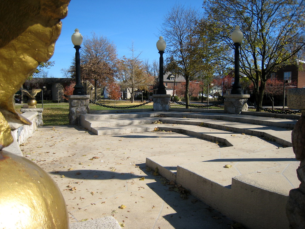
The Bandstand in Barclay Square

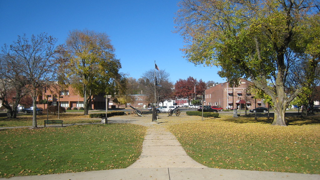
Look at the View
The View of Barclay Square from the Bandstand
Phil's View on Feb Two
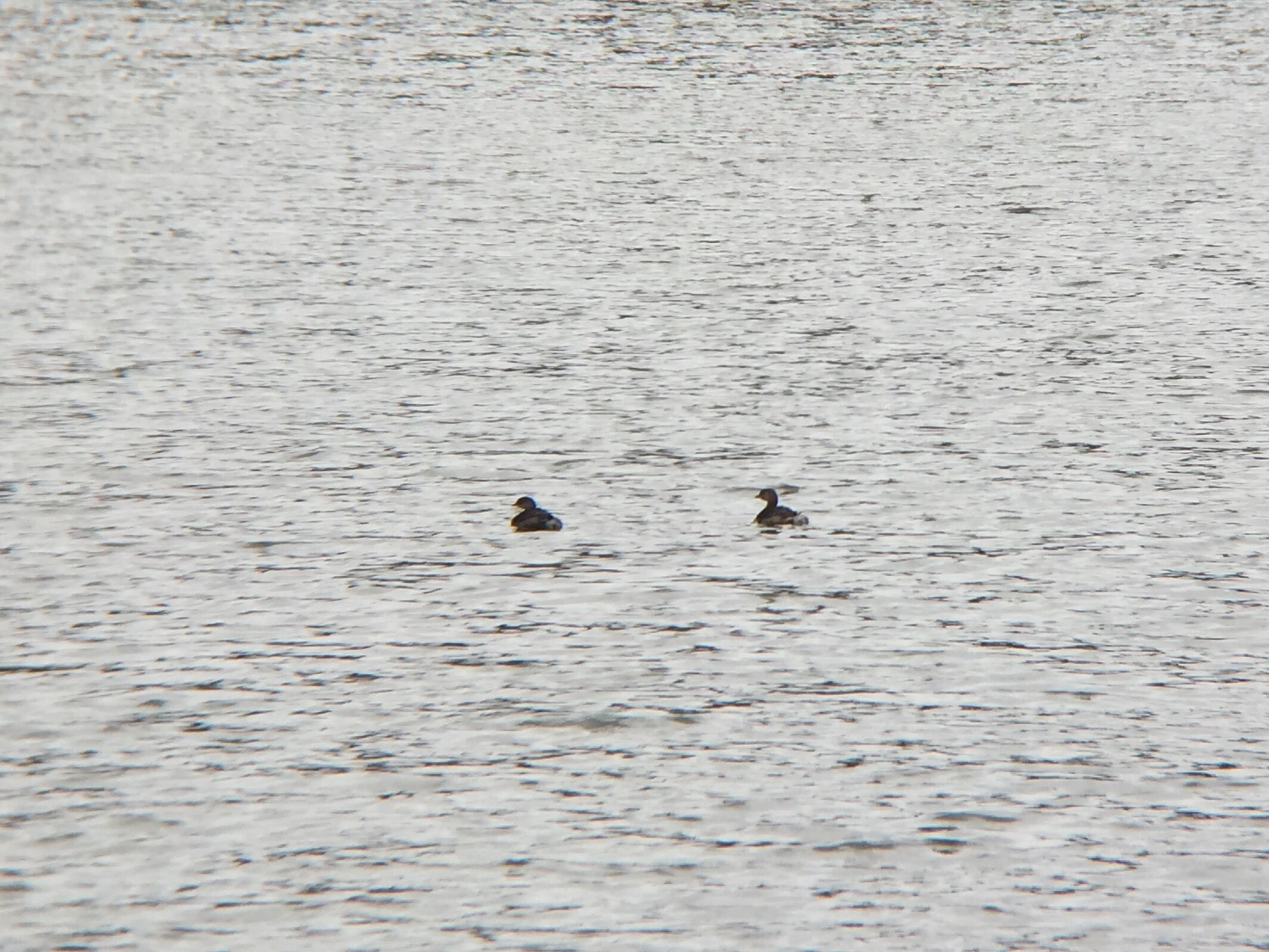
Pied-billed Grebes - Cloe Lake, Jefferson Co, PA - Oct 30, 2015

"Look at the View"
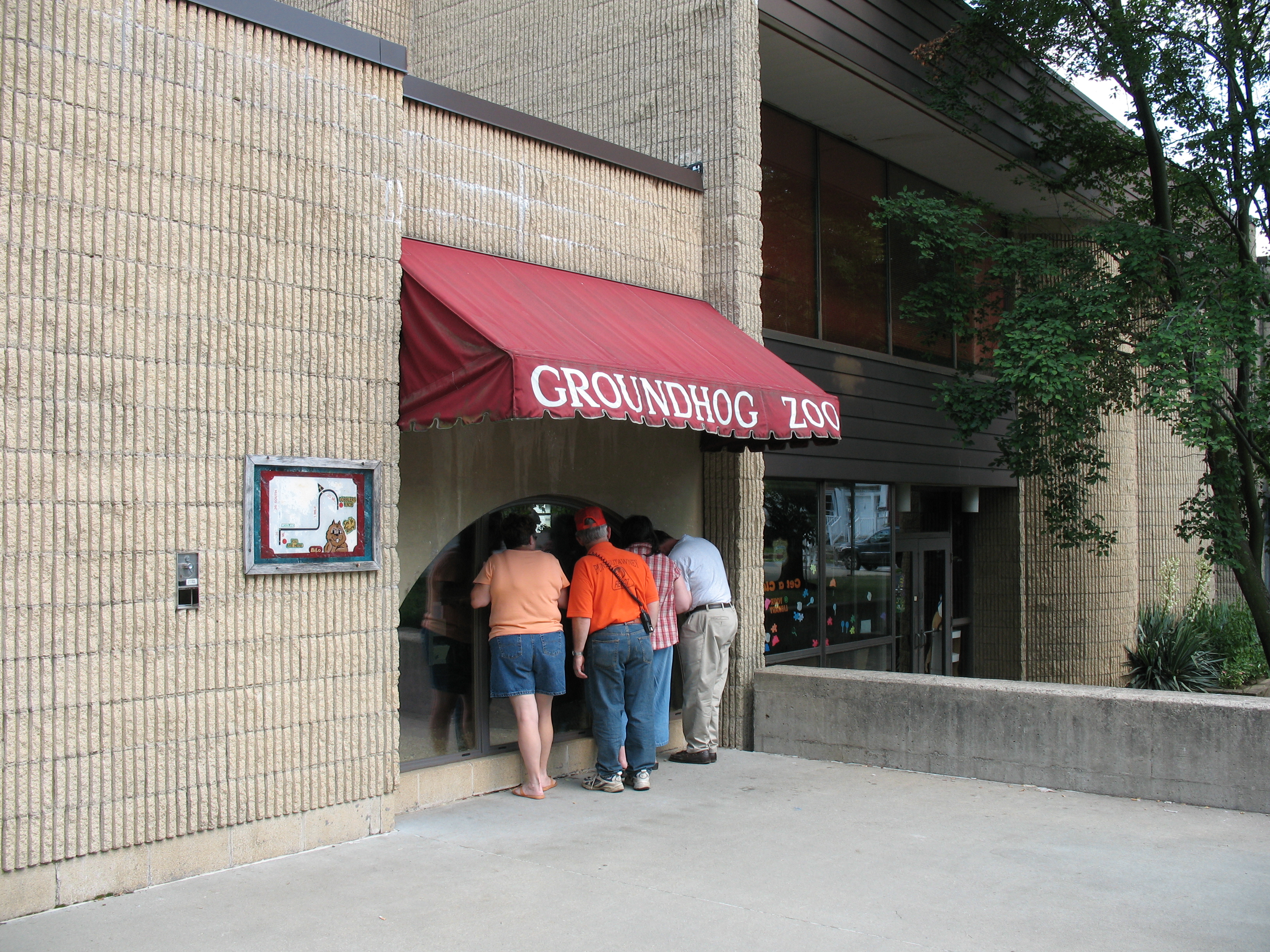
Groundhog Zoo
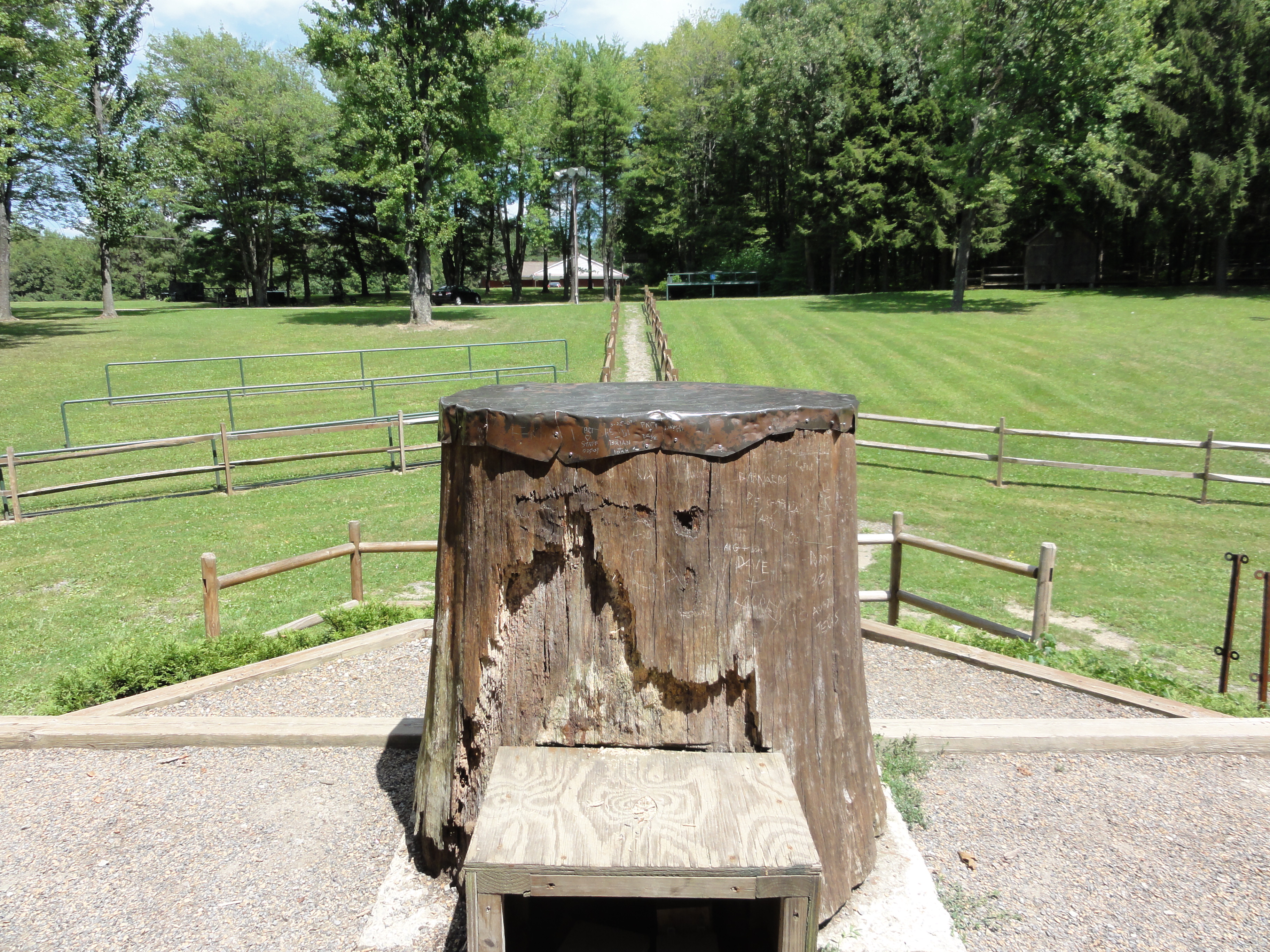
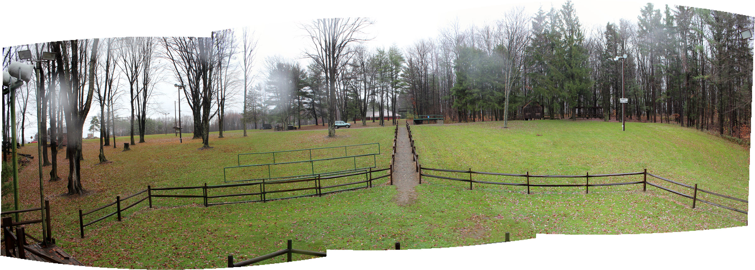
View from Behind the Stump

132. Broad-winged Hawk - Pennsylvania - IMG_4276
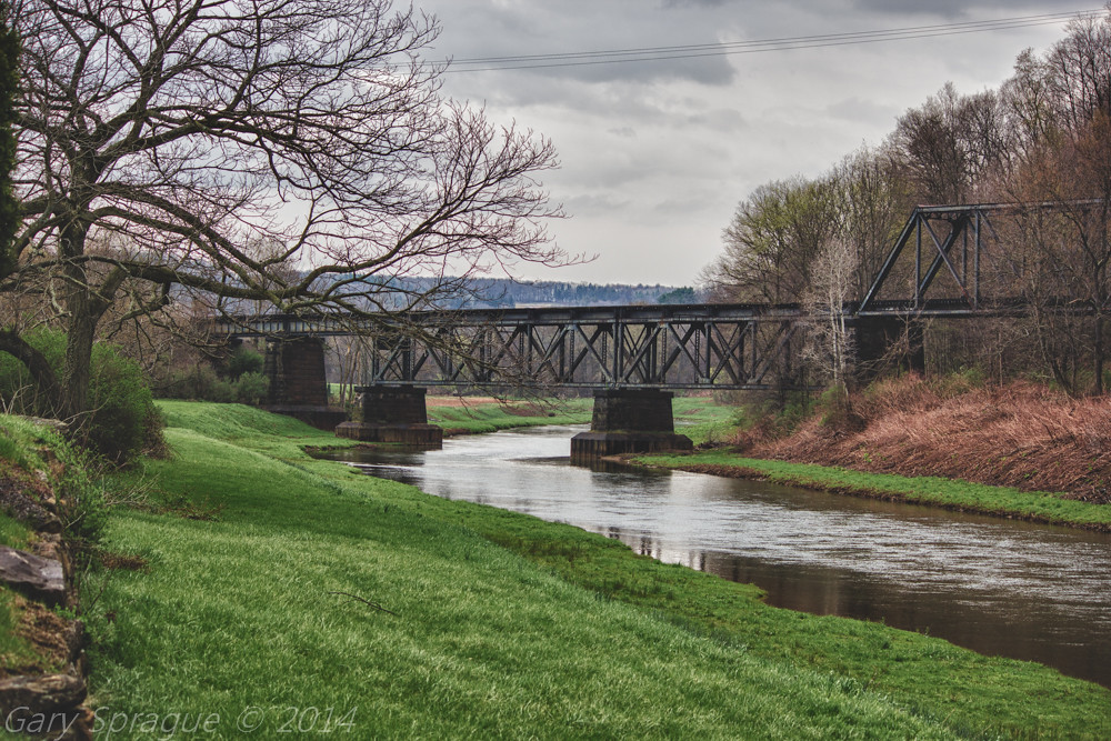
Mahoning Creek Lake / Abandoned Railroad Bridge , Punxsutawney
Kramer Rd. (Kay's House), Jefferson Co, PA - Nov 27, 2015
Topographic Map of 52 Notary Lane, Punxsutawney, PA, USA
Find elevation by address:

Places near 52 Notary Lane, Punxsutawney, PA, USA:
Punxsutawney
Punxsutawney, PA, USA
101 Jenks Ave
101 Pittsburgh - Buffalo Hwy
200 Jenks Ave
312 Elk St
501 N Findley St
800 Woodland Ave Ext
Pennsylvania 36
Gresock Ln, Punxsutawney, PA, USA
Bell Township
Fordham Rd, Punxsutawney, PA, USA
Perry Township
Gaskill Township
2670 Hetzler Rd
2670 Hetzler Rd
2670 T830
157 Lodge Ln
Julock Road
Wilgus
Recent Searches:
- Elevation of Kreuzburger Weg 13, Düsseldorf, Germany
- Elevation of Gateway Blvd SE, Canton, OH, USA
- Elevation of East W.T. Harris Boulevard, E W.T. Harris Blvd, Charlotte, NC, USA
- Elevation of West Sugar Creek, Charlotte, NC, USA
- Elevation of Wayland, NY, USA
- Elevation of Steadfast Ct, Daphne, AL, USA
- Elevation of Lagasgasan, X+CQH, Tiaong, Quezon, Philippines
- Elevation of Rojo Ct, Atascadero, CA, USA
- Elevation of Flagstaff Drive, Flagstaff Dr, North Carolina, USA
- Elevation of Avery Ln, Lakeland, FL, USA