Elevation of Henryville Township, MN, USA
Location: United States > Minnesota > Renville County >
Longitude: -95.039053
Latitude: 44.6834482
Elevation: 322m / 1056feet
Barometric Pressure: 98KPa
Elevation Map:
Satellite Map:
Related Photos:
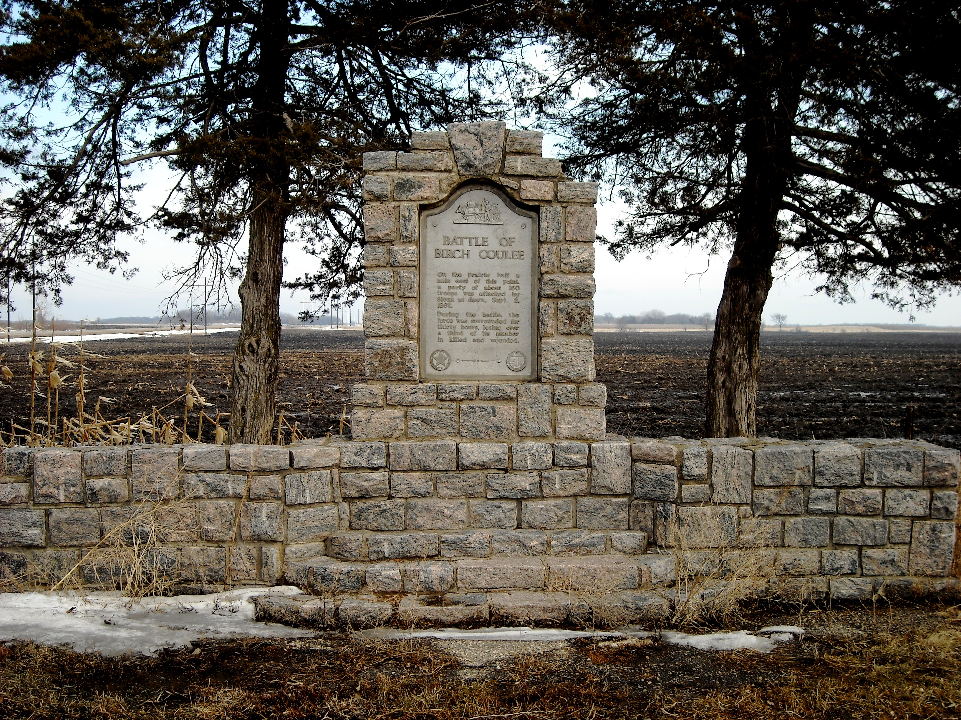
Birch Coulee Wayside

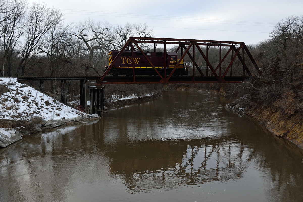
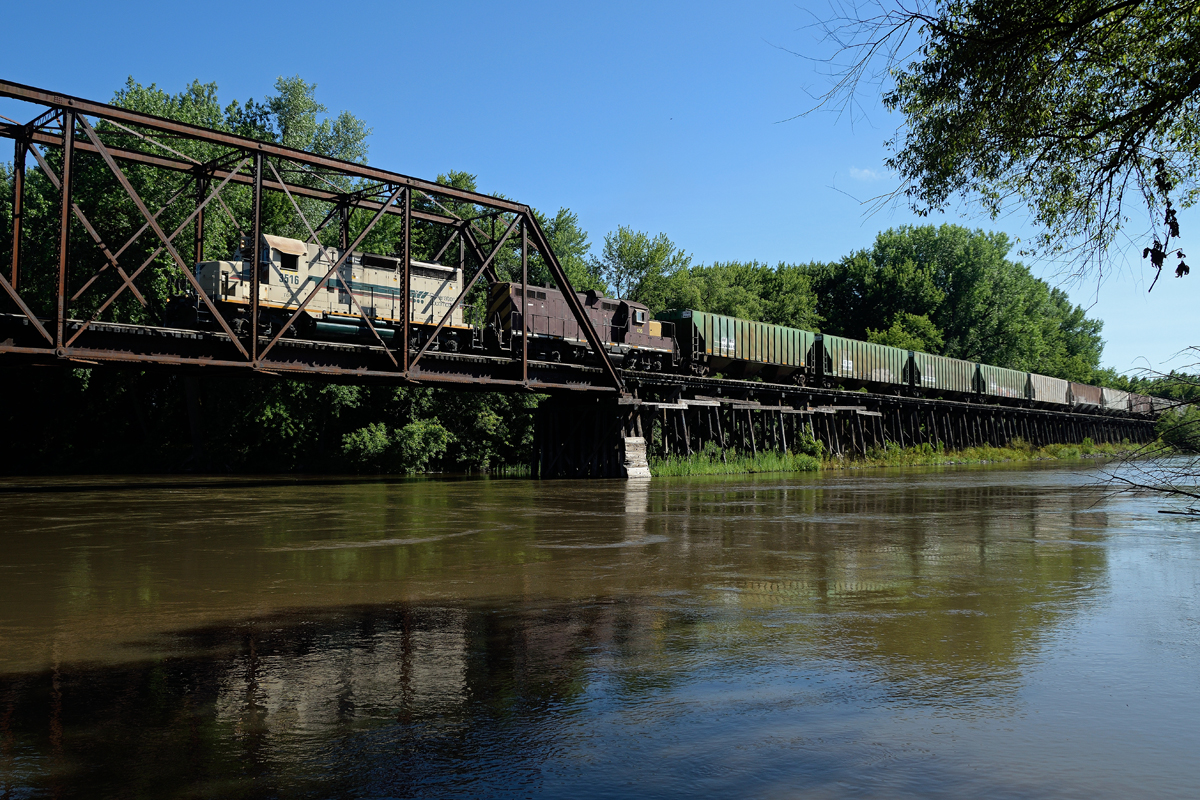
Black (& white) Friday on the TC&W
Redwood River Reflection

Country Roads
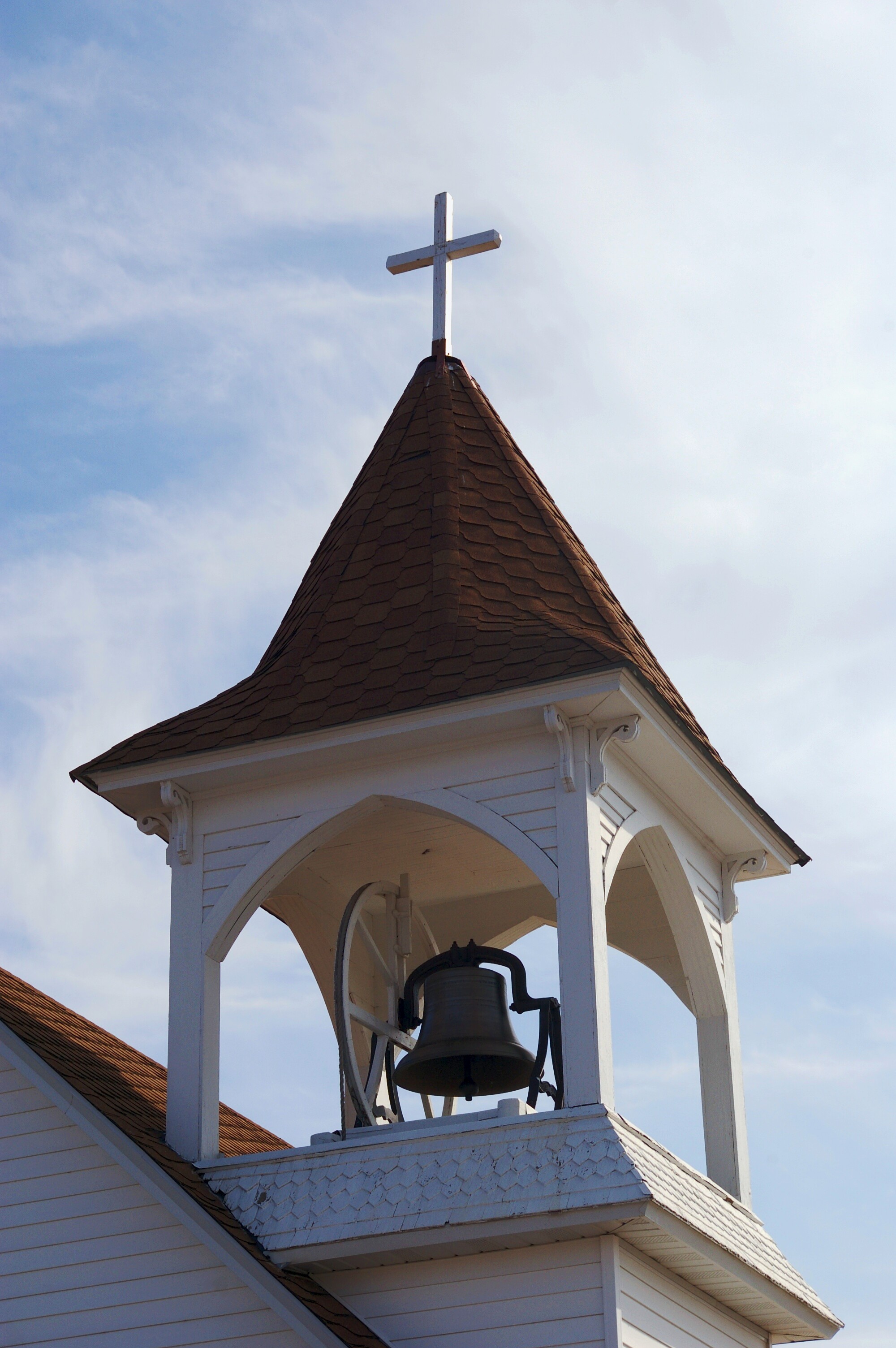
Bell Tower

Minnesota Not-So-Nice
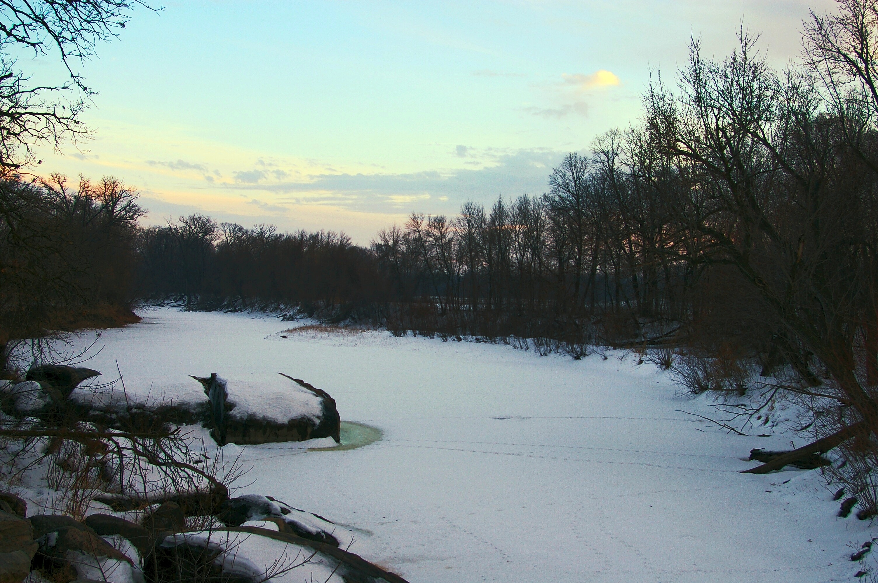
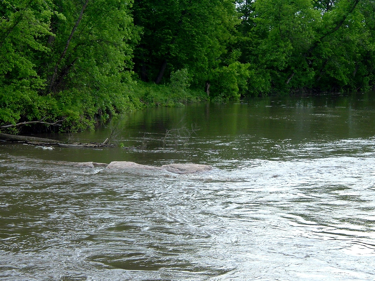
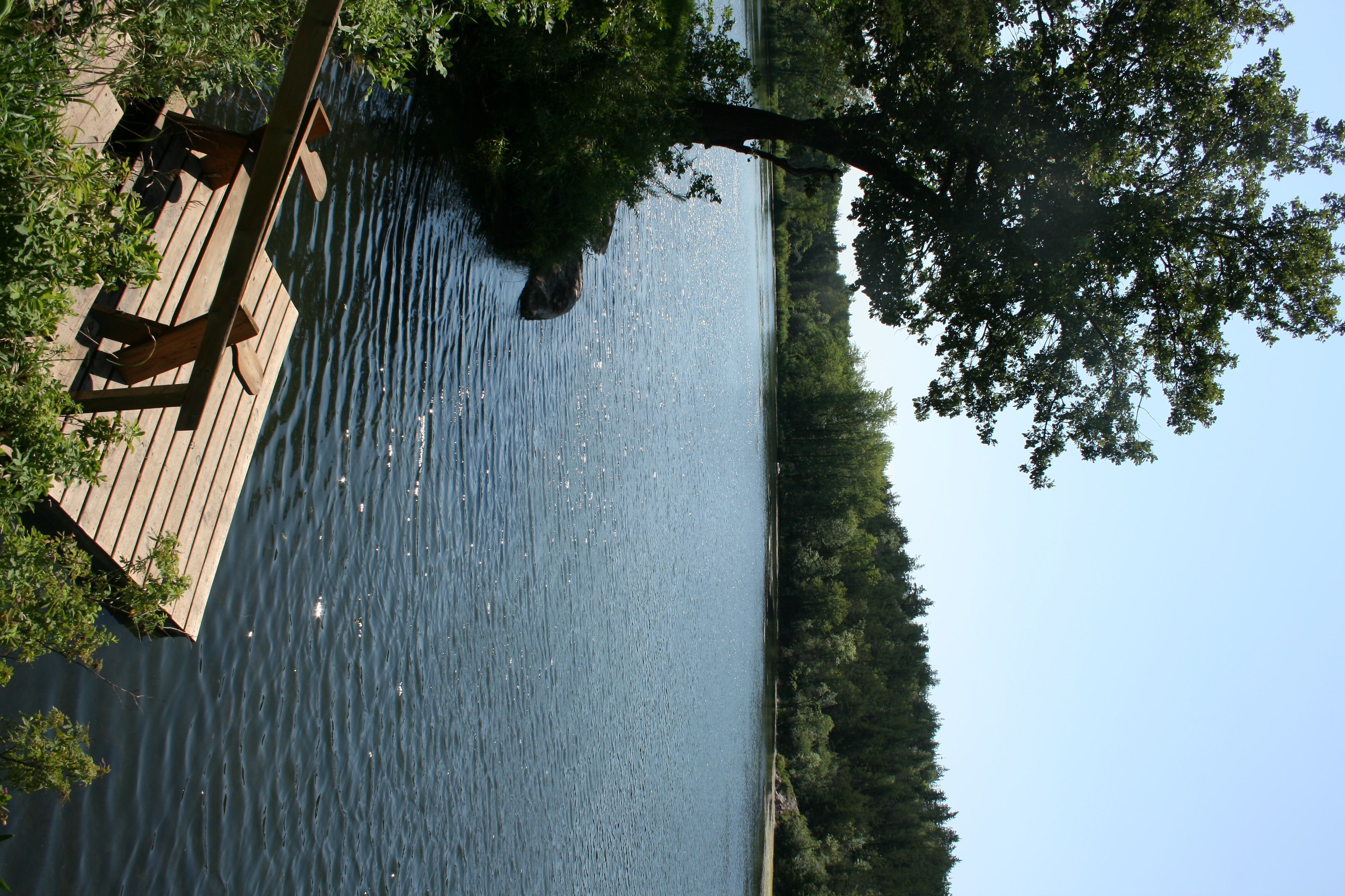
Silent River

Geocaching in Delhi
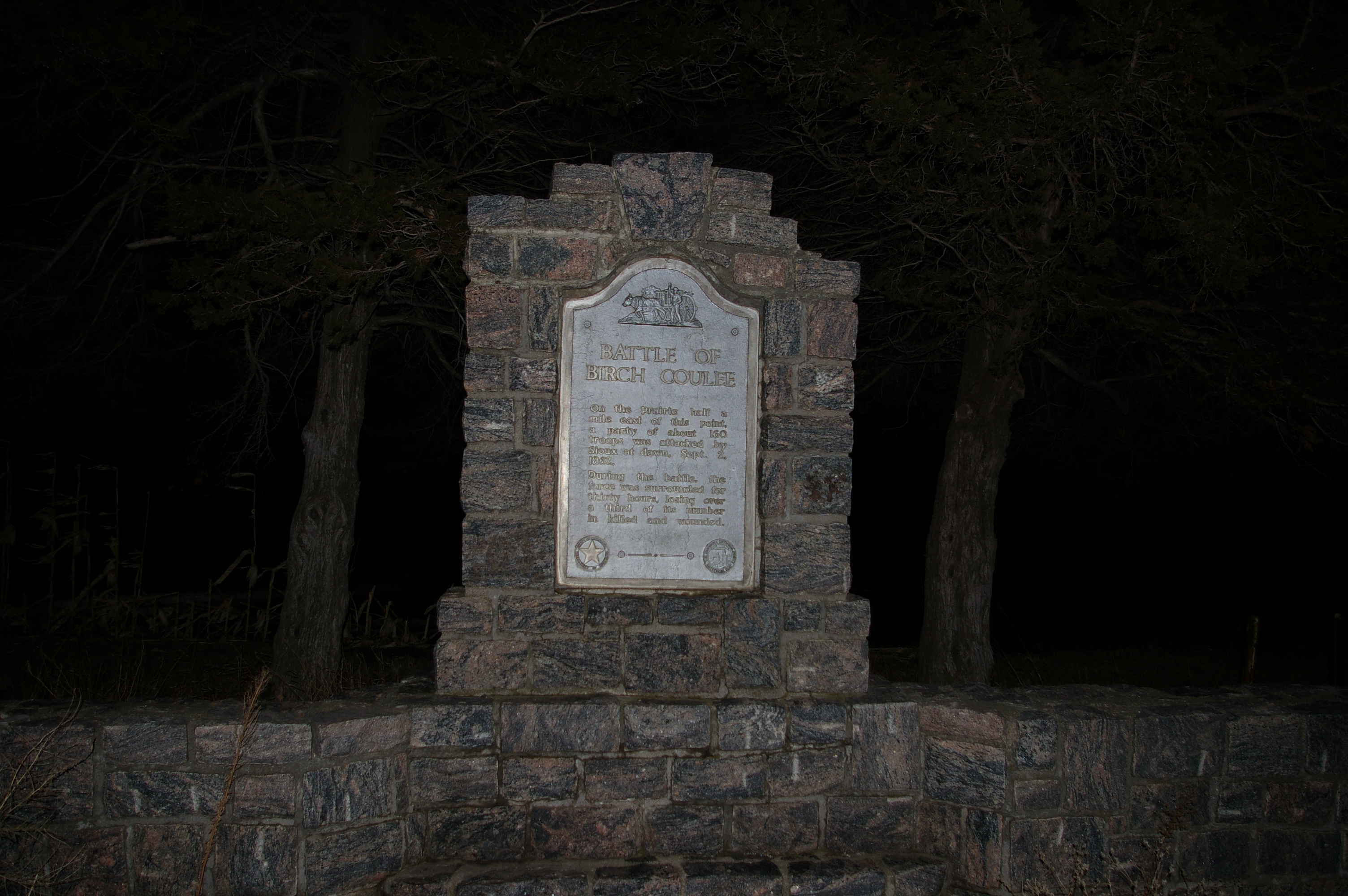
Birch Coulee Battle Wayside

Geocaching in Delhi
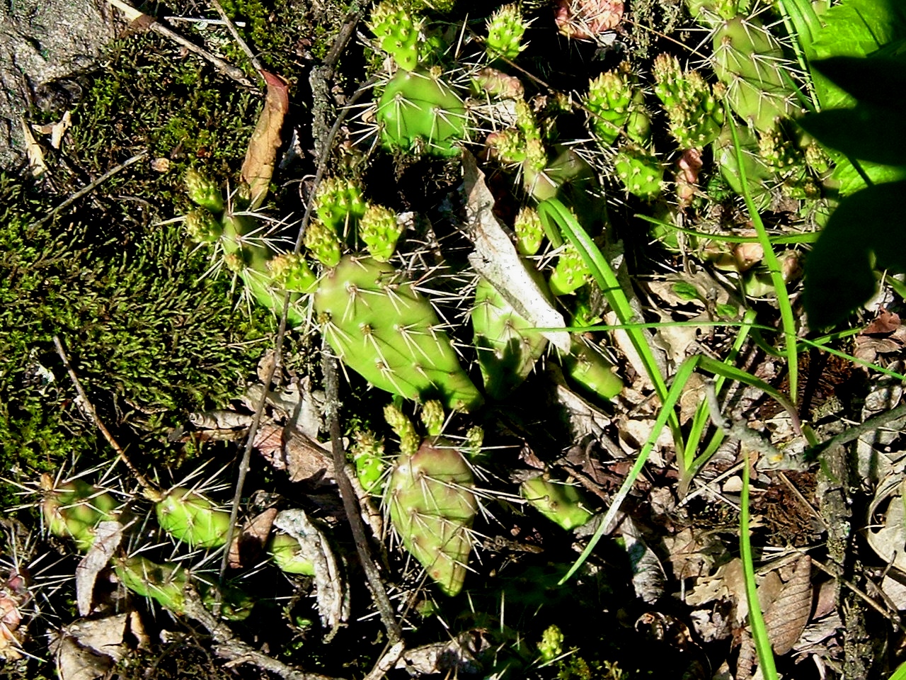
Prairie Cactus
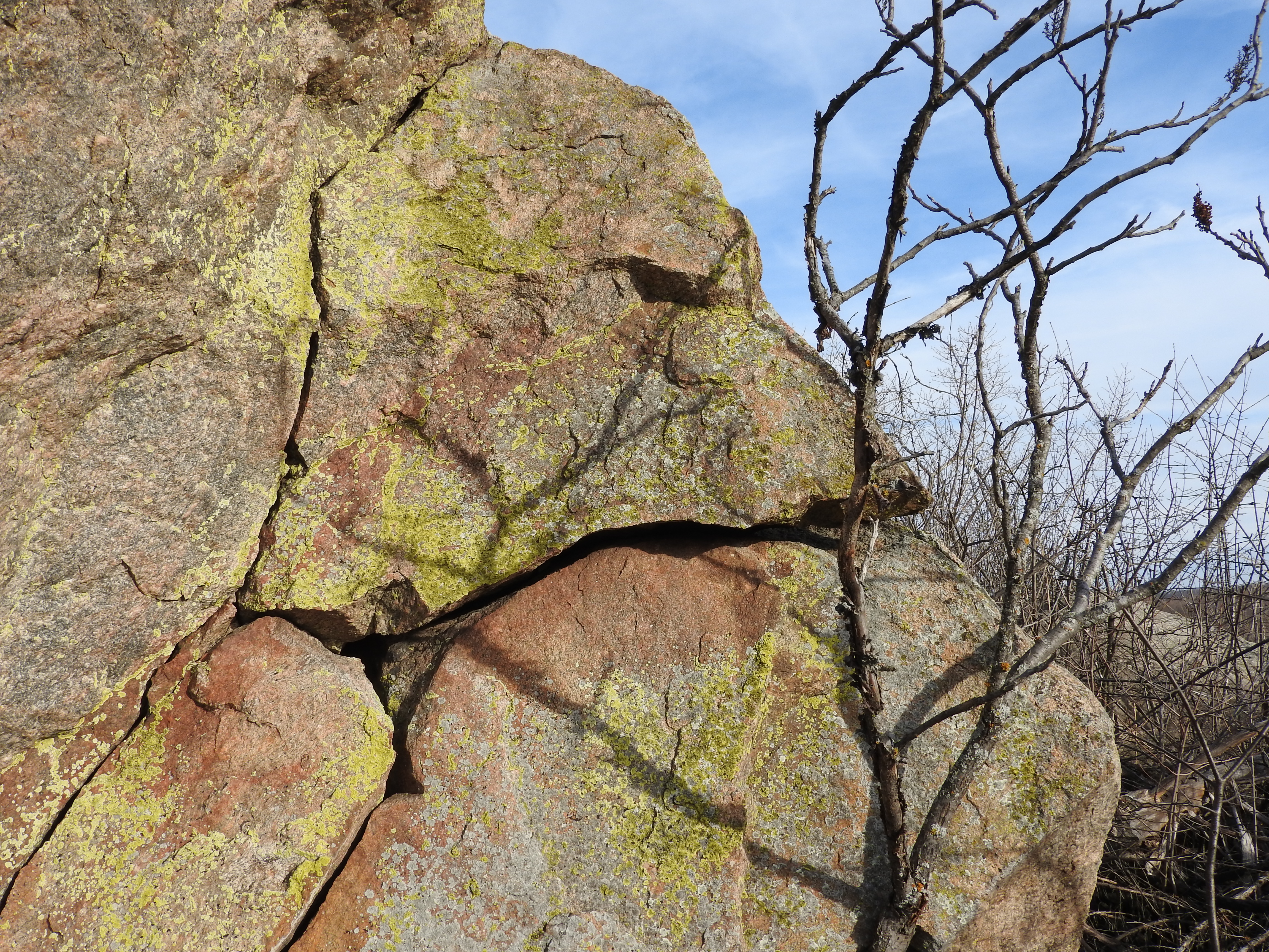
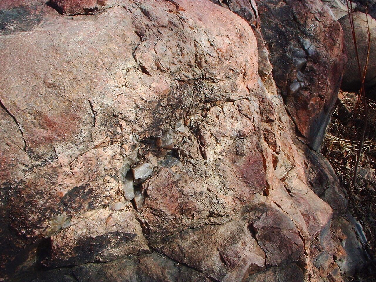
View from the west side of the boulder
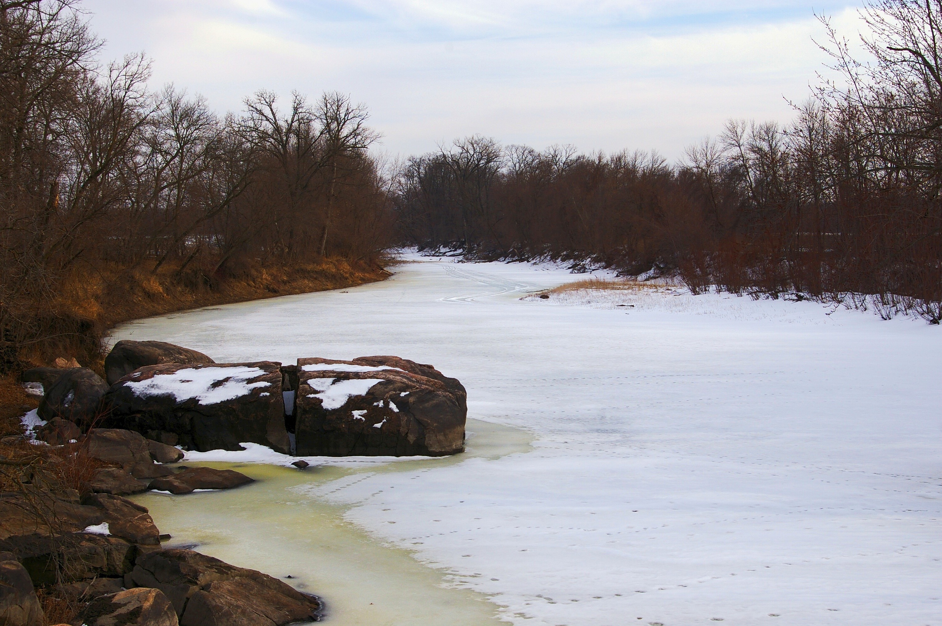
Pre-Spring Thaw
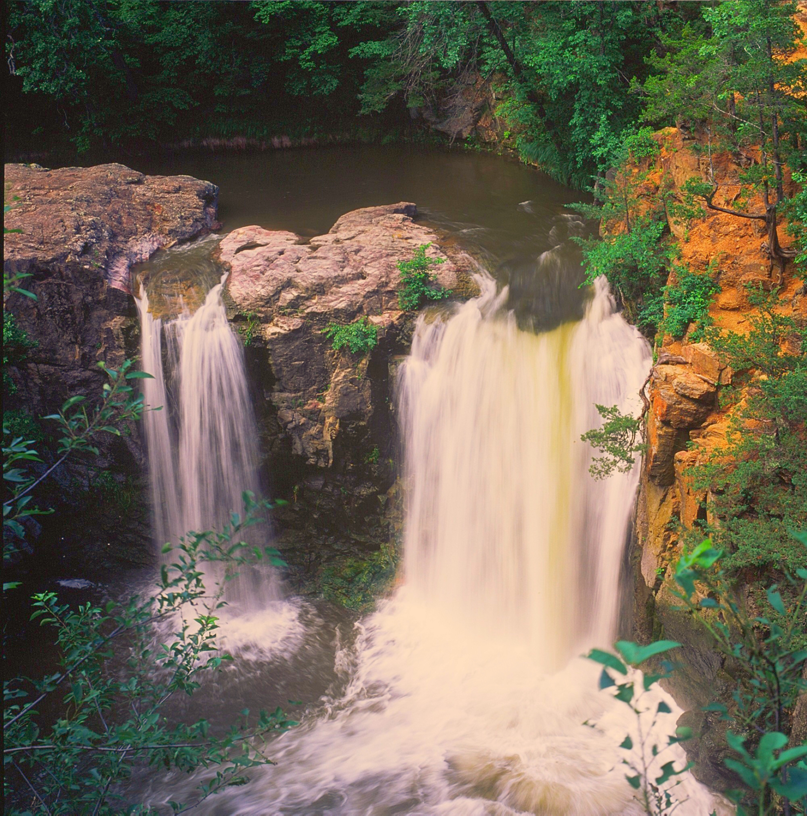
Ramsey Falls ~ Redwood County,MN
MPL over the Minnesota
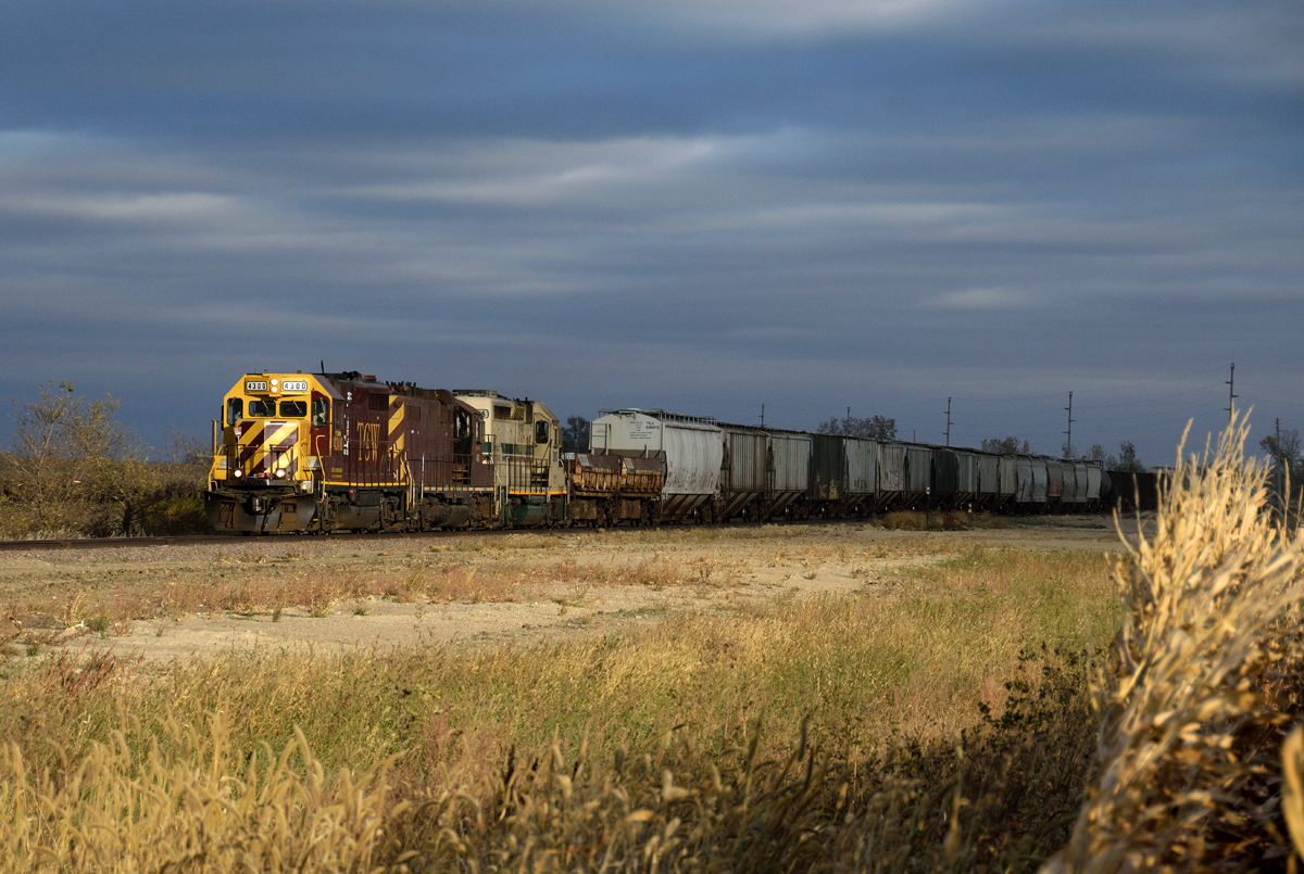
TCWR sucker hole near Danube, MN

Ancient River Rocks

Long Road Ahead
Submerged Ancient River Rocks

Rocky Reflections

River Ice
Riverbottom weekend
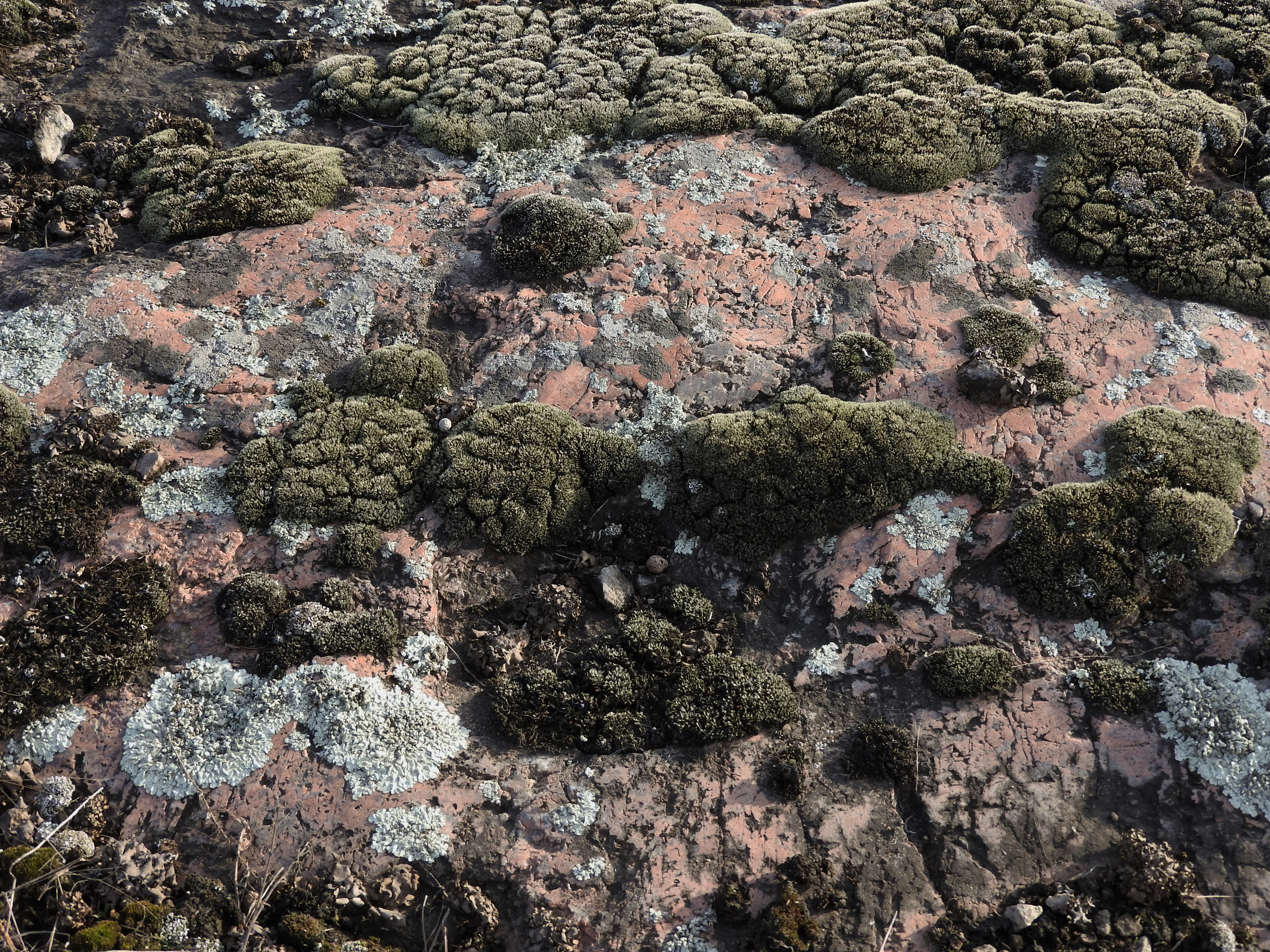
Lichen & Moss Rockscape

River Ice
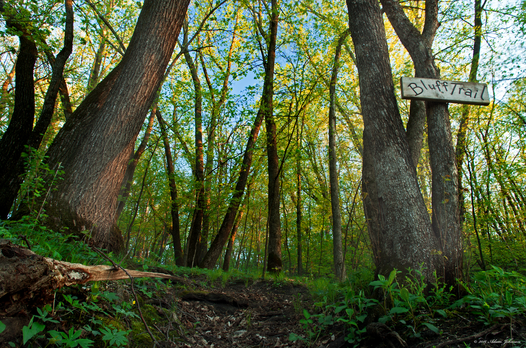
Bluff Trail in Spring
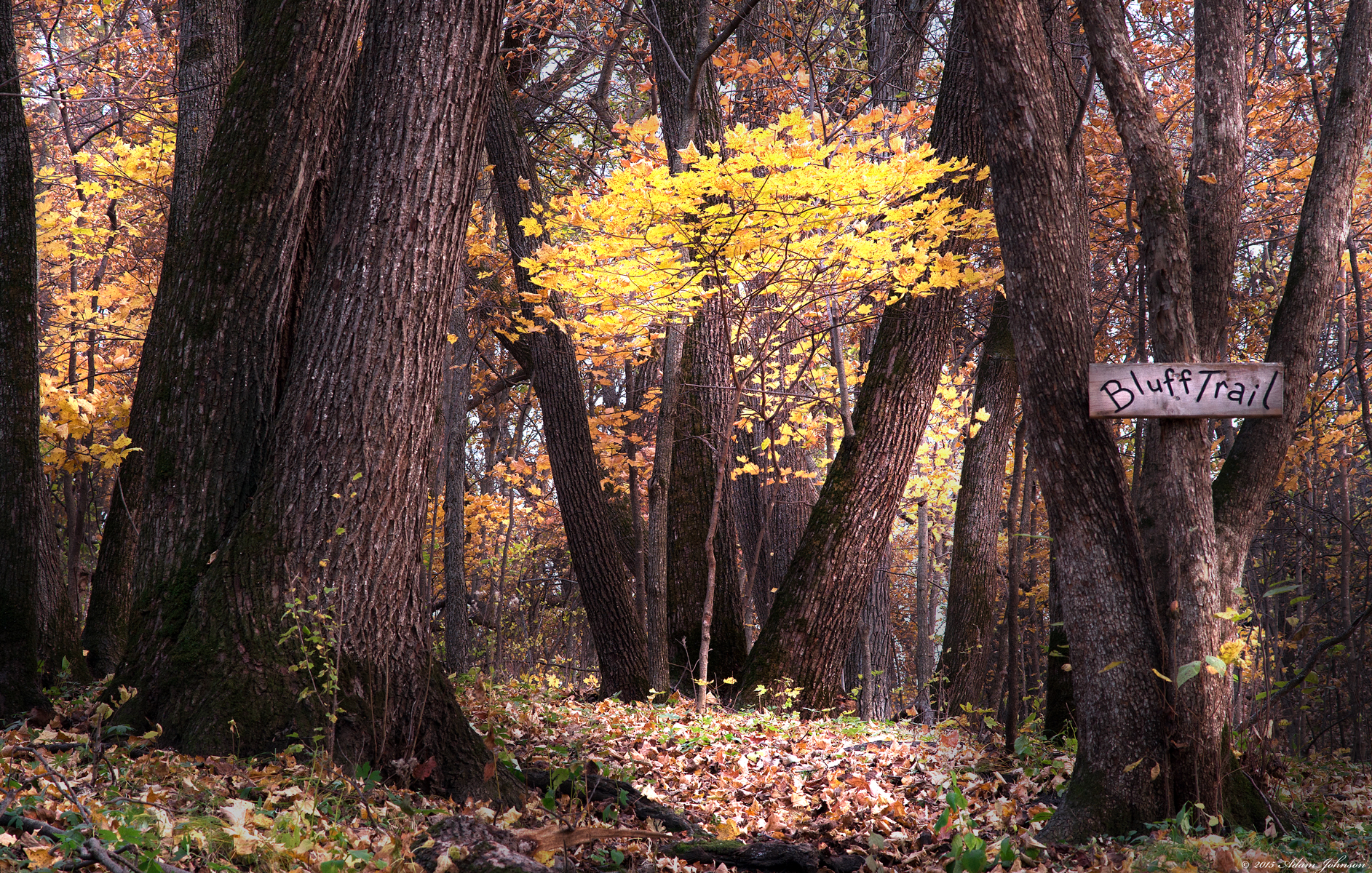
Bluff Trail
Ancient River Rock
Topographic Map of Henryville Township, MN, USA
Find elevation by address:

Places near Henryville Township, MN, USA:
Renville County
Beaver Falls Township
Co Rd 2, Redwood Falls, MN, USA
Olivia
9th St S, Olivia, MN, USA
905 N 7th St
32118 850th Ave
Winfield Township
Reservation Highway 101
Redwood Falls
Main St, Bird Island, MN, USA
315 E Tin St
Renville
Mel's 7-71
7101 210th Ave Sw
73950 Co Rd 16
86104 210th St
86104 210th St
Cedar Mountain
Prinsburg
Recent Searches:
- Elevation of SW 57th Ave, Portland, OR, USA
- Elevation of Crocker Dr, Vacaville, CA, USA
- Elevation of Pu Ngaol Community Meeting Hall, HWHM+3X7, Krong Saen Monourom, Cambodia
- Elevation of Royal Ontario Museum, Queens Park, Toronto, ON M5S 2C6, Canada
- Elevation of Groblershoop, South Africa
- Elevation of Power Generation Enterprises | Industrial Diesel Generators, Oak Ave, Canyon Country, CA, USA
- Elevation of Chesaw Rd, Oroville, WA, USA
- Elevation of N, Mt Pleasant, UT, USA
- Elevation of 6 Rue Jules Ferry, Beausoleil, France
- Elevation of Sattva Horizon, 4JC6+G9P, Vinayak Nagar, Kattigenahalli, Bengaluru, Karnataka, India