Elevation of Henderson Ranch Rd, Bridgeport, TX, USA
Location: United States > Texas > Wise County > Bridgeport >
Longitude: -97.963296
Latitude: 33.1049435
Elevation: 331m / 1086feet
Barometric Pressure: 97KPa
Elevation Map:
Satellite Map:
Related Photos:
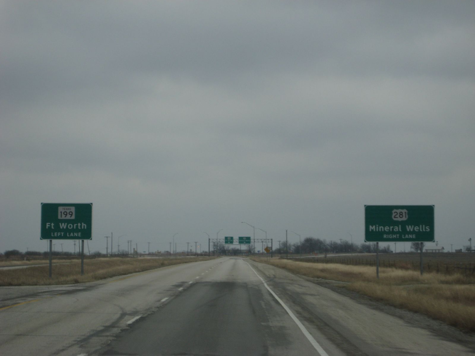
this time: mineral wells
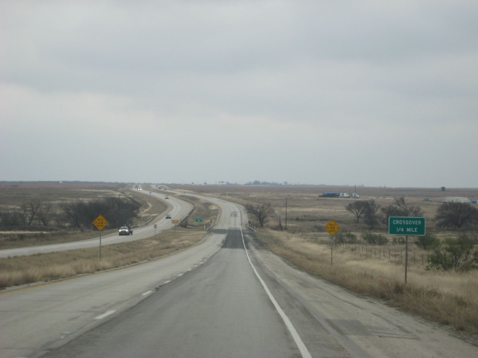
highway crossover

far bend on highway

Last week day meeting party youth

Green Elm Cemetery 2, Green Elm, Texas

Last week day meeting party youth

Last week day meeting party youth

Last week day meeting party youth

Last week day meeting party youth

Wizard Wells Texas
Topographic Map of Henderson Ranch Rd, Bridgeport, TX, USA
Find elevation by address:

Places near Henderson Ranch Rd, Bridgeport, TX, USA:
FM, Bridgeport, TX, USA
FM, Poolville, TX, USA
Nicholson St, Jacksboro, TX, USA
Runaway Bay
Jordan
Half Moon Way, Runaway Bay, TX, USA
Perrin
US-, Bridgeport, TX, USA
Main St, Whitt, TX, USA
Whitt
693 Co Rd 3525
693 Co Rd 3525
Poolville
Slipdown Mountain
111 Creek Bend Dr
230 Private Rd 1735
221 Creek Bend Dr
136 Little Salty Ct
208 Creek Bend Dr
105 Salt Of The Earth Ct
Recent Searches:
- Elevation of Congressional Dr, Stevensville, MD, USA
- Elevation of Bellview Rd, McLean, VA, USA
- Elevation of Stage Island Rd, Chatham, MA, USA
- Elevation of Shibuya Scramble Crossing, 21 Udagawacho, Shibuya City, Tokyo -, Japan
- Elevation of Jadagoniai, Kaunas District Municipality, Lithuania
- Elevation of Pagonija rock, Kranto 7-oji g. 8"N, Kaunas, Lithuania
- Elevation of Co Rd 87, Jamestown, CO, USA
- Elevation of Tenjo, Cundinamarca, Colombia
- Elevation of Côte-des-Neiges, Montreal, QC H4A 3J6, Canada
- Elevation of Bobcat Dr, Helena, MT, USA