Elevation of Hawthorne Dr, Newburgh, IN, USA
Location: United States > Indiana > Warrick County > Ohio Township > Newburgh >
Longitude: -87.409711
Latitude: 37.9708553
Elevation: 125m / 410feet
Barometric Pressure: 100KPa
Elevation Map:
Satellite Map:
Related Photos:

*

Absorbing The Sunlight

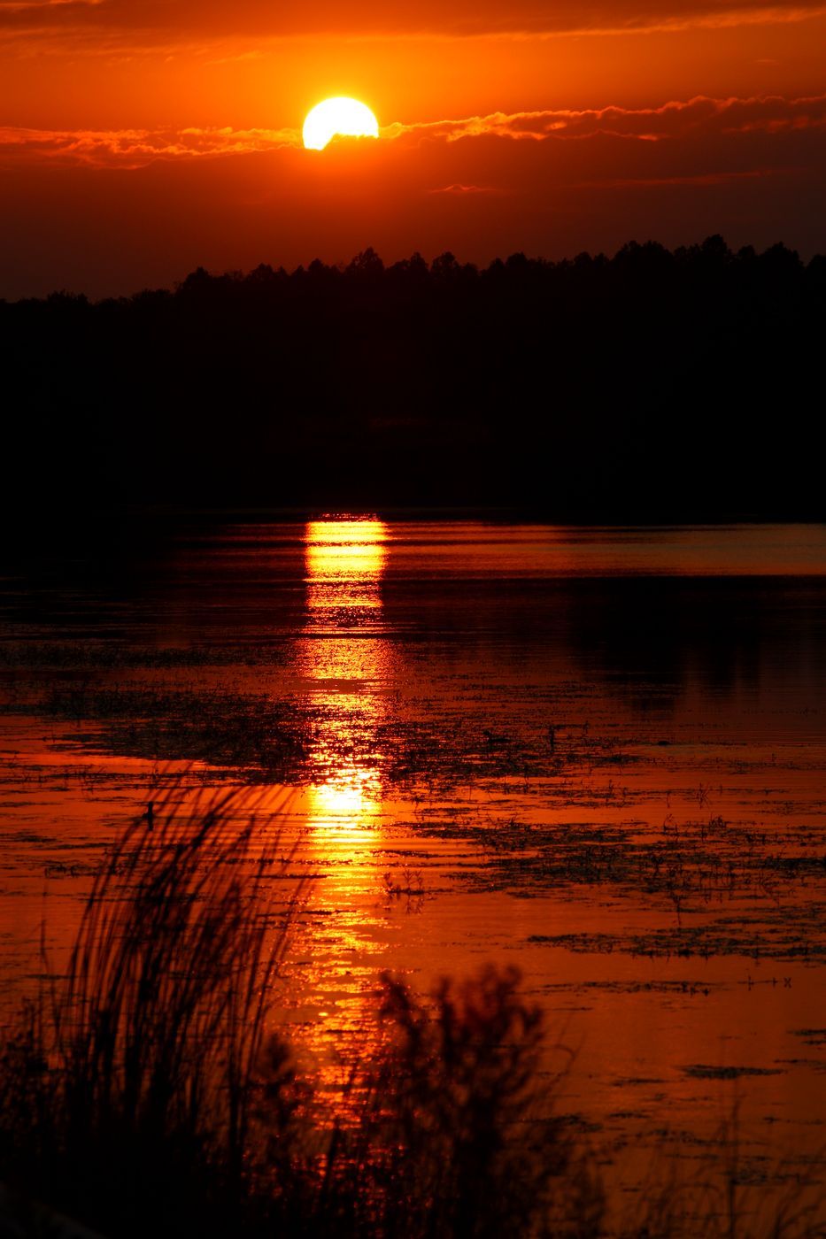
Riverside Flame Dude

Stream of Snow....Ribbon of White

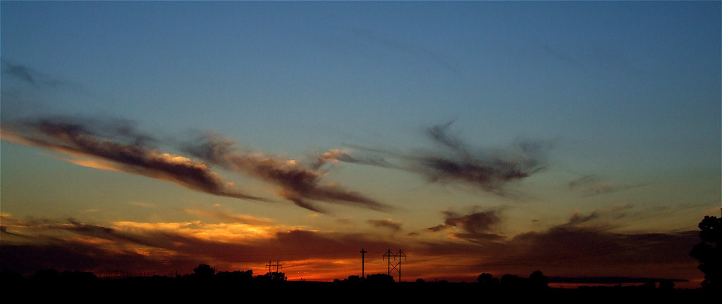
Wind and Clouds on the River

Cloudy Winter Afternoon Over Indiana

*
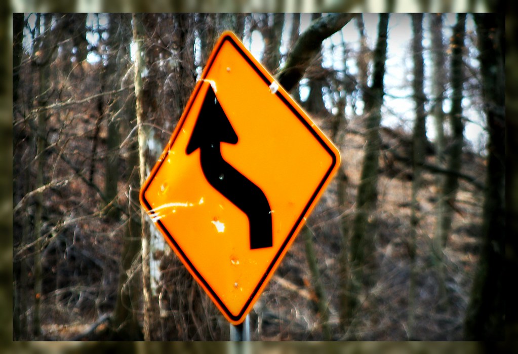
Sign on a Country Road

From A Bee's Perspective
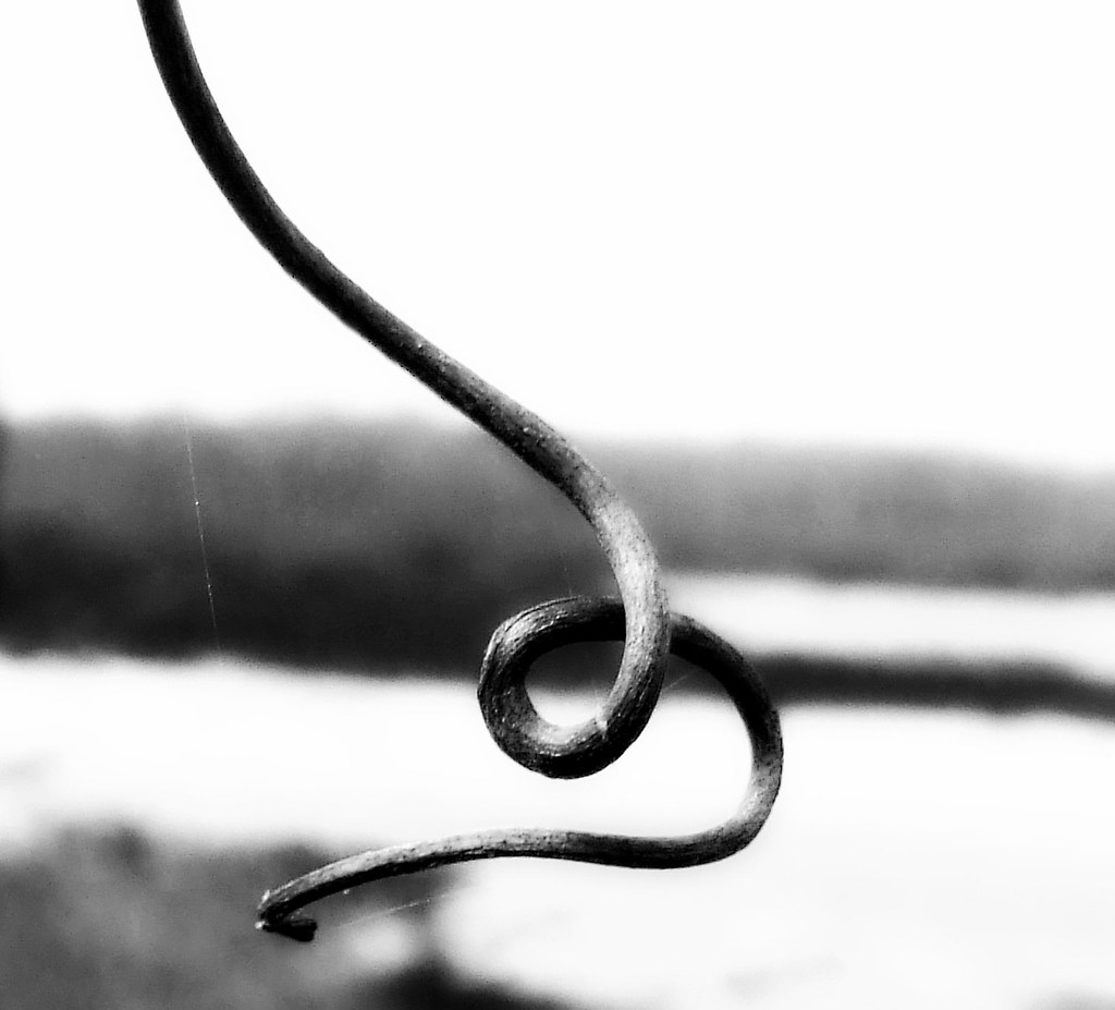
A B/W Curl/Twist

....

*

Diar (Whole Car)

Icicles High and Low

..

Coming to Life
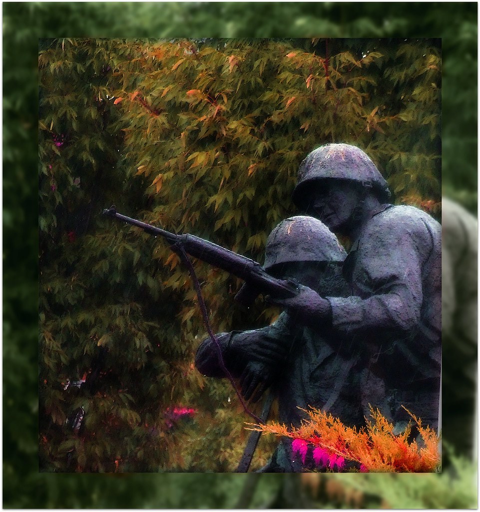
WWII Memorial in the Rain (Evansville Riverfront)

A Dismissive Look
Brush Strokes And Silhouettes V

A Favourite Spot

The Chase
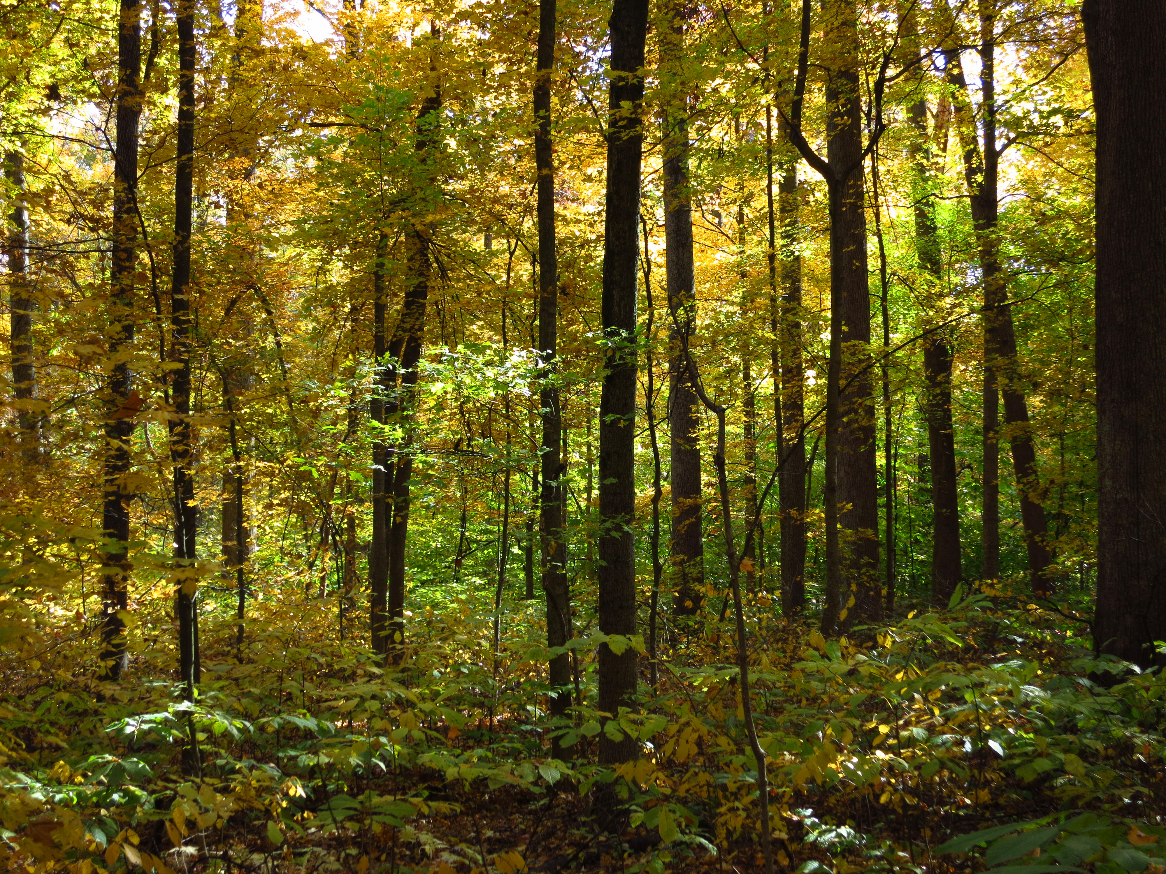
Wesselman Woods

I come here to find myself. It is so easy to get lost in the world.

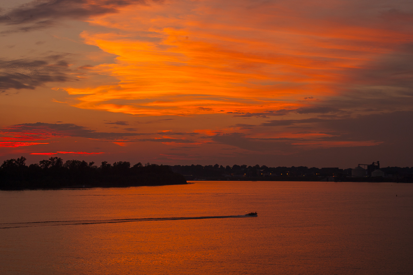
Sunset in June
Sunset after the solstice

Side Of Willard Library

Sign O' Times

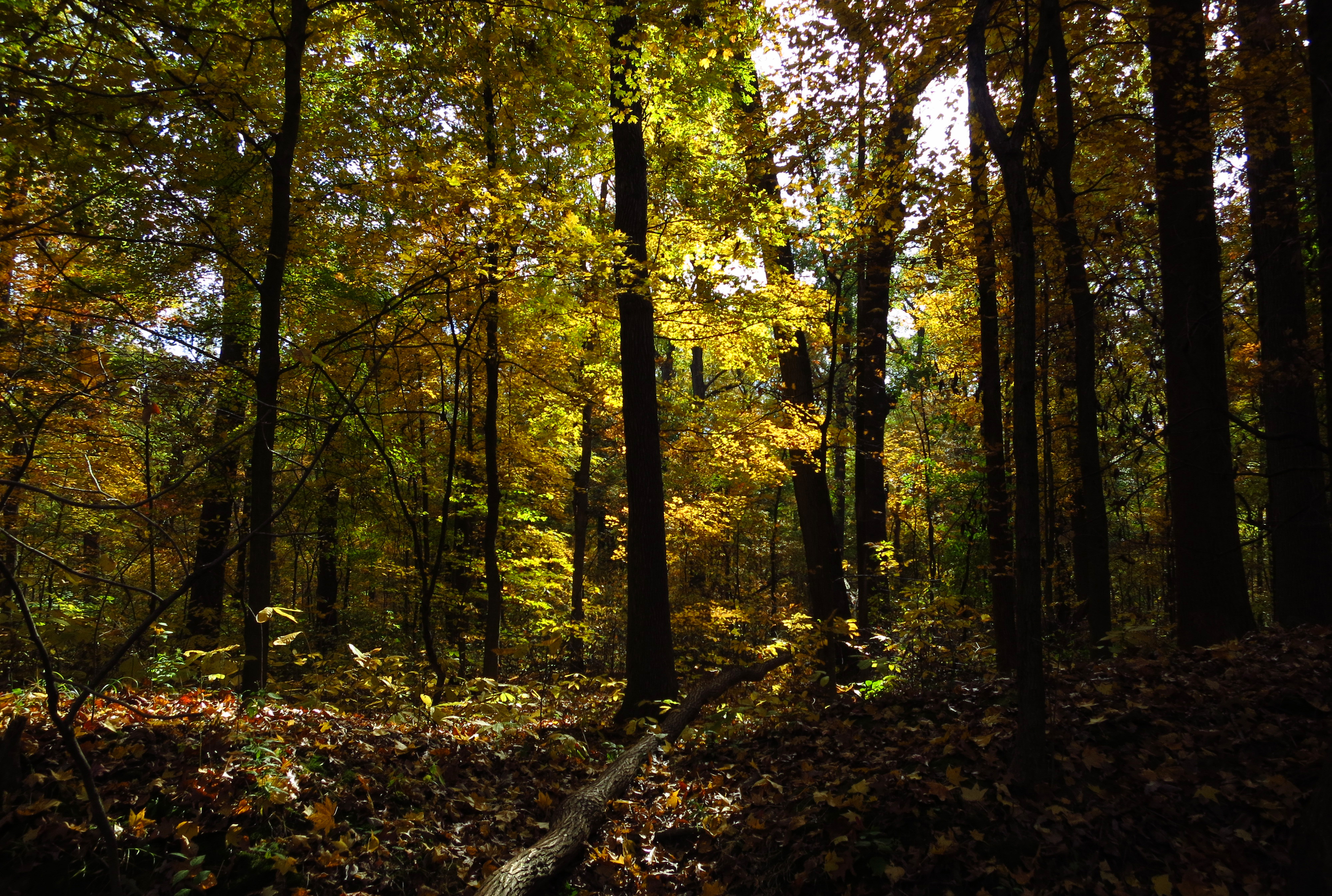
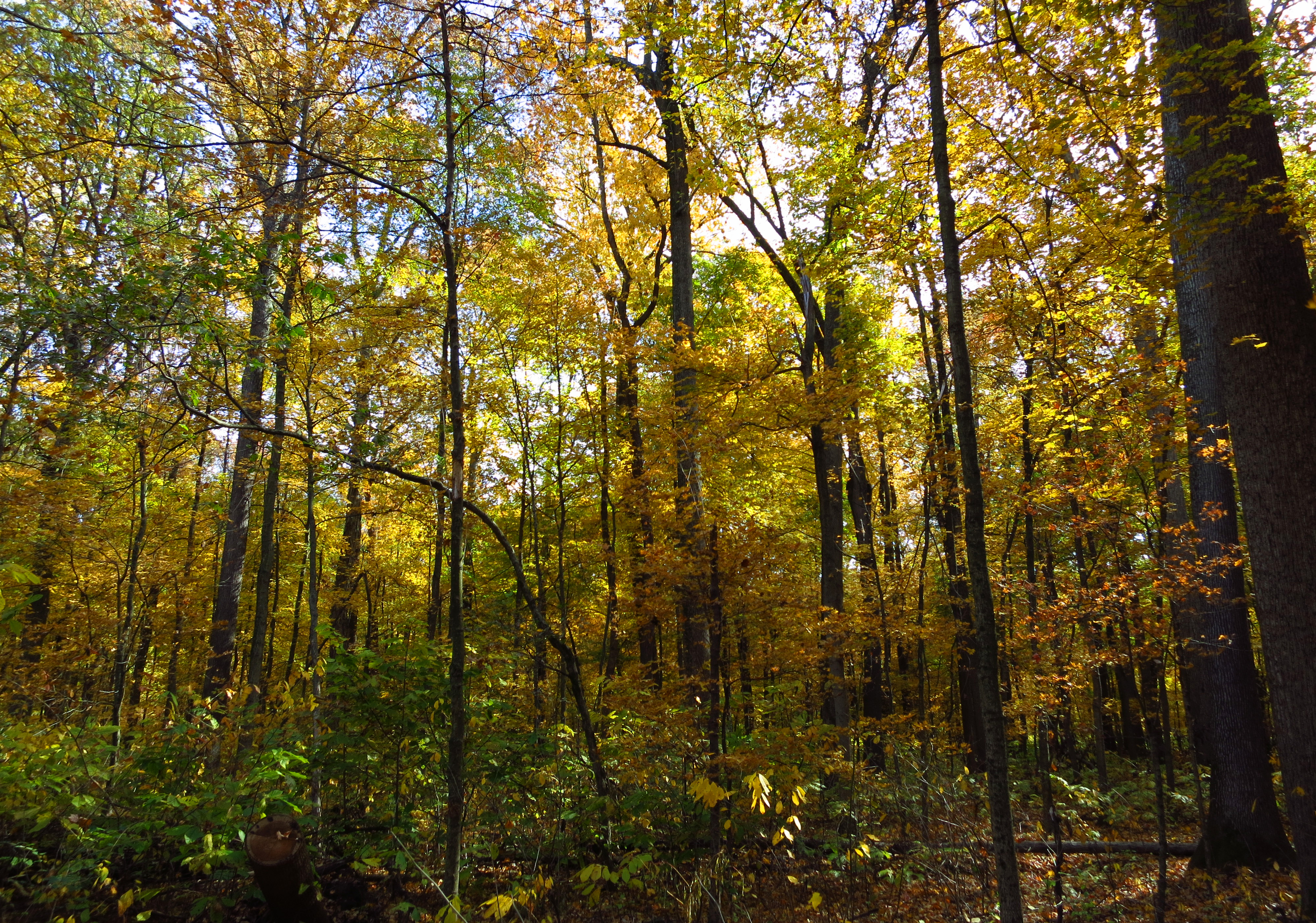
Wesselman Woods
Wesselman Woods
Wesselman Woods

Goings on at the Ohio river #tov2012

Newburgh Water Front
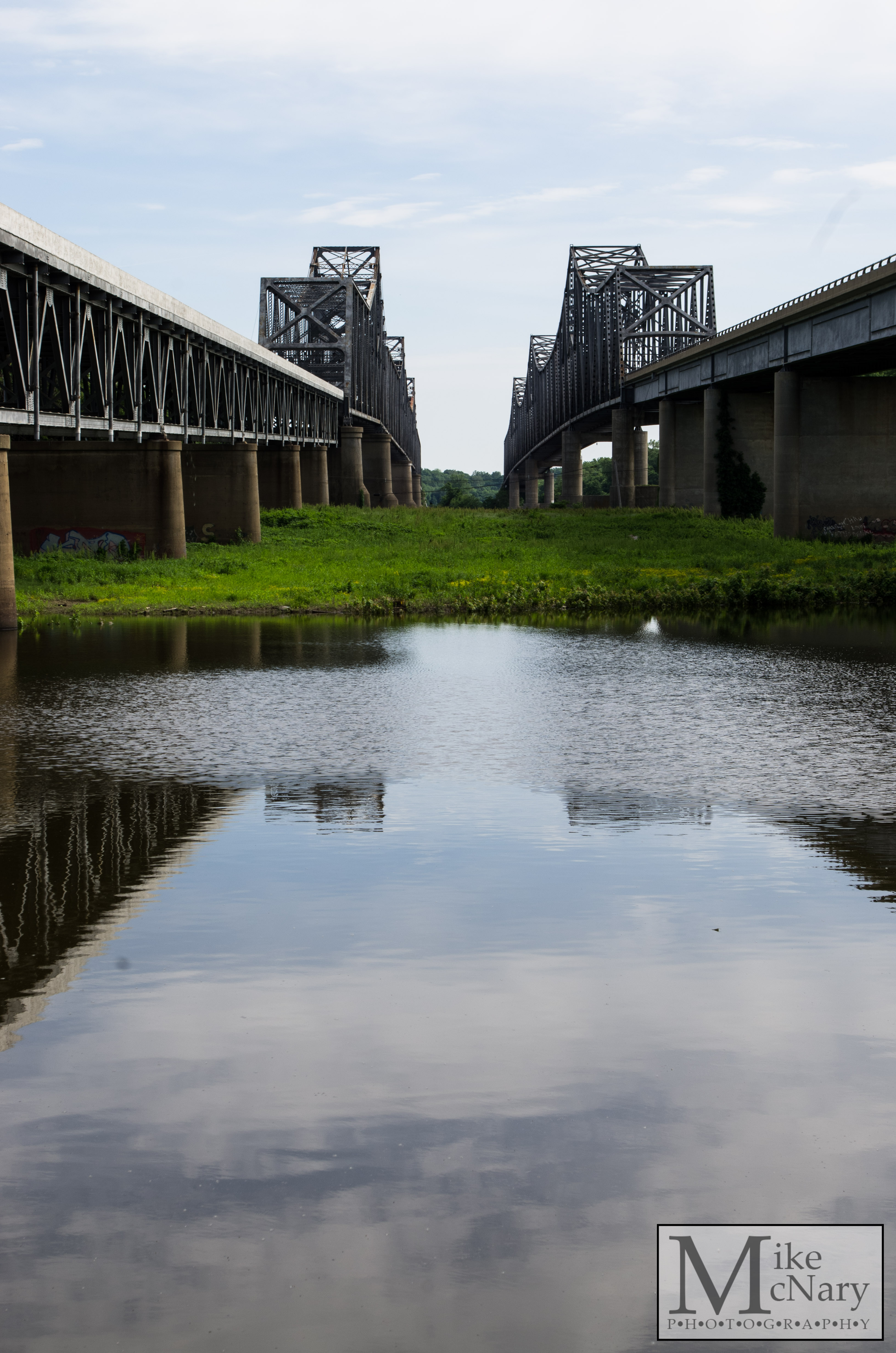
Twin Bridges

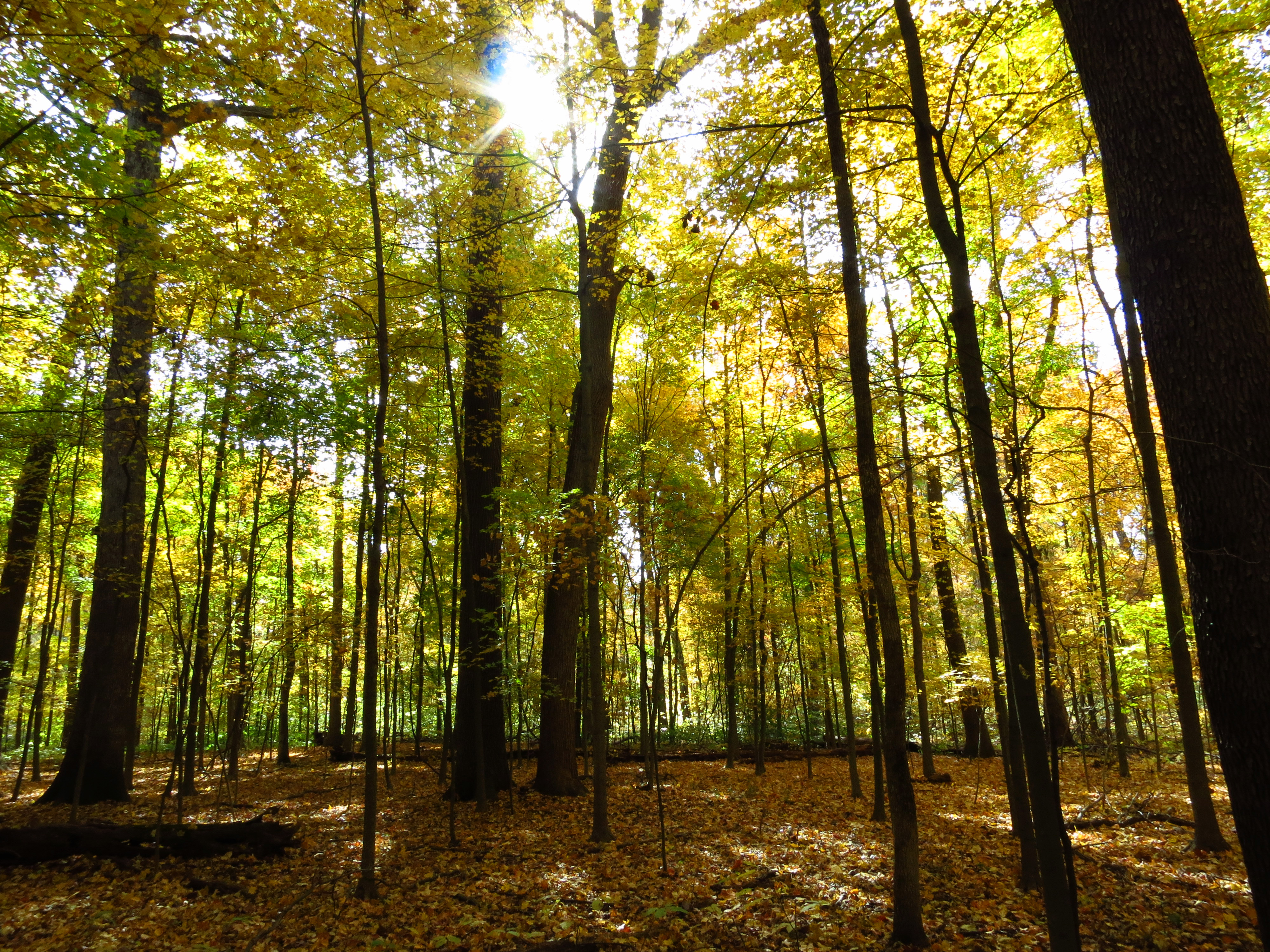
Wesselmans Woods

Goodbye Mr. Sun

fishin'
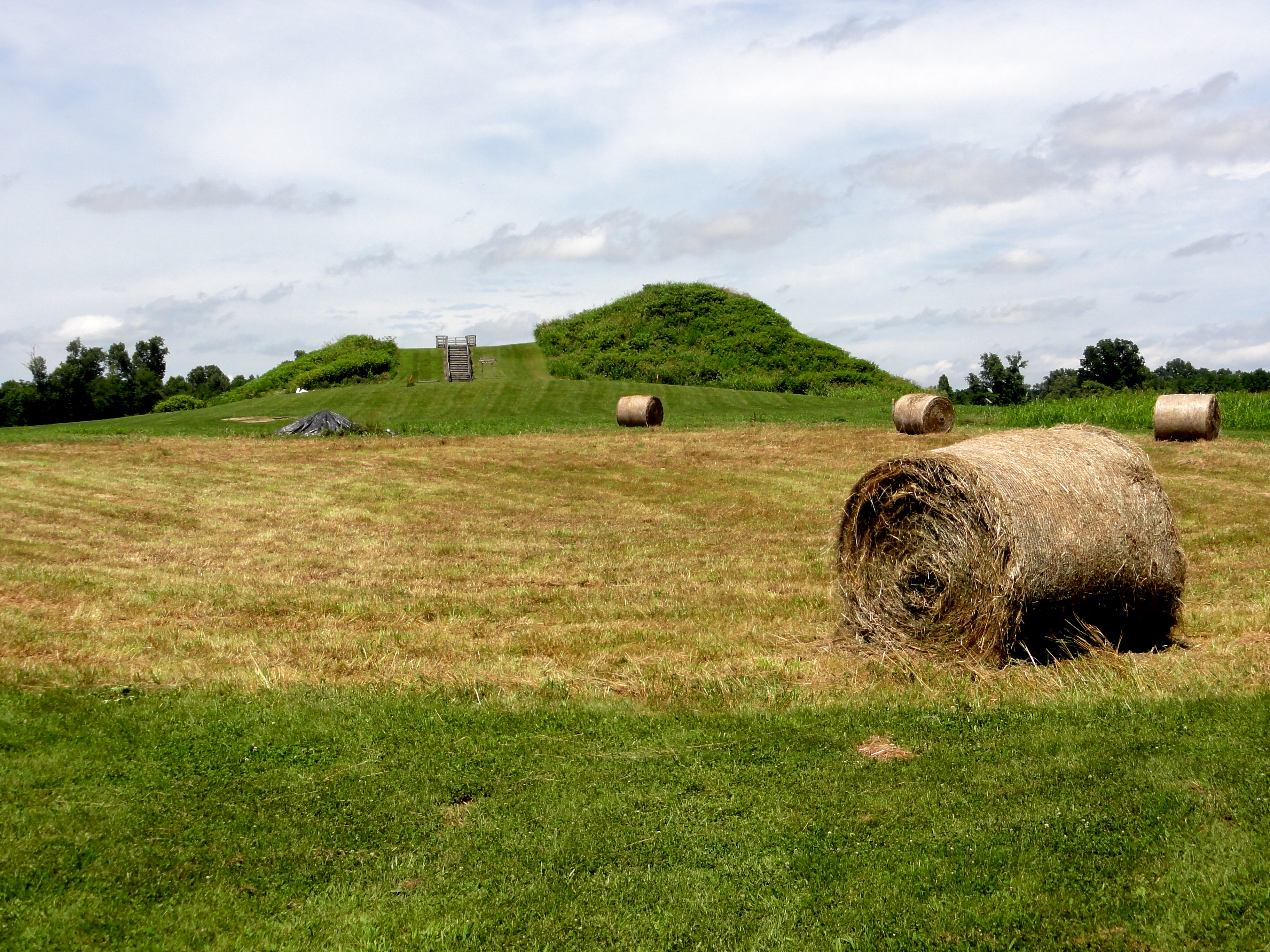
Mound A
Downtown Evansville Sept 7 2013 a

Splendid!
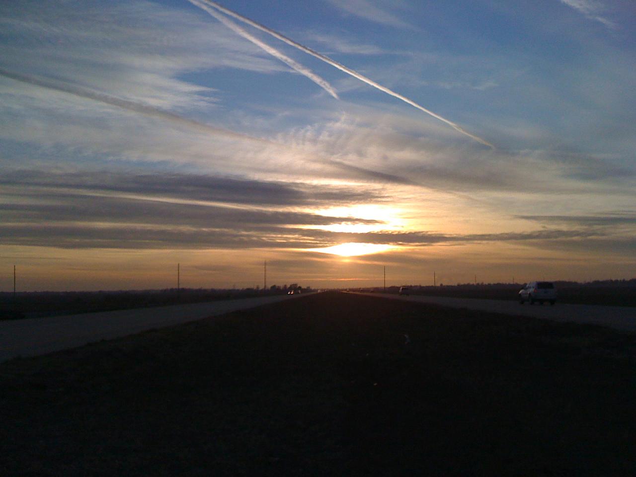
Bluegrass Sunrise 13 Oct 2013
Wesselman Woods
Topographic Map of Hawthorne Dr, Newburgh, IN, USA
Find elevation by address:

Places near Hawthorne Dr, Newburgh, IN, USA:
Outer Lincoln Avenue
Ohio Township
8066 N Birch Dr
4455 Wynbrooke Dr
7455 Tyring Dr
IN-, Newburgh, IN, USA
County Rd W, Chandler, IN, USA
Knight Township
Heim Rd, Chandler, IN, USA
Richmond Park Apartments
8600 University Blvd
2710 Eastside Park Rd
Chandler
107 Euclid Dr
200 Mourning Dove Ln
Greater Oakhill
Wayside Dr, Evansville, IN, USA
3635 Cobblefield Dr
Fisherville Rd, Elberfeld, IN, USA
Melody Hill
Recent Searches:
- Elevation of AMELIA CT HSE, VA, USA
- Elevation of Abbey Dr, Virginia Beach, VA, USA
- Elevation of Brooks Lp, Spearfish, SD, USA
- Elevation of Panther Dr, Maggie Valley, NC, USA
- Elevation of Jais St - Wadi Shehah - Ras al Khaimah - United Arab Emirates
- Elevation of Shawnee Avenue, Shawnee Ave, Easton, PA, USA
- Elevation of Scenic Shore Dr, Kingwood Area, TX, USA
- Elevation of W Prive Cir, Delray Beach, FL, USA
- Elevation of S Layton Cir W, Layton, UT, USA
- Elevation of F36W+3M, Mussoorie, Uttarakhand, India