Elevation of Hash Mountain, Montana, USA
Location: United States > Montana > Flathead County > Kalispell >
Longitude: -114.03067
Latitude: 48.2435732
Elevation: 2115m / 6939feet
Barometric Pressure: 78KPa
Elevation Map:
Satellite Map:
Related Photos:
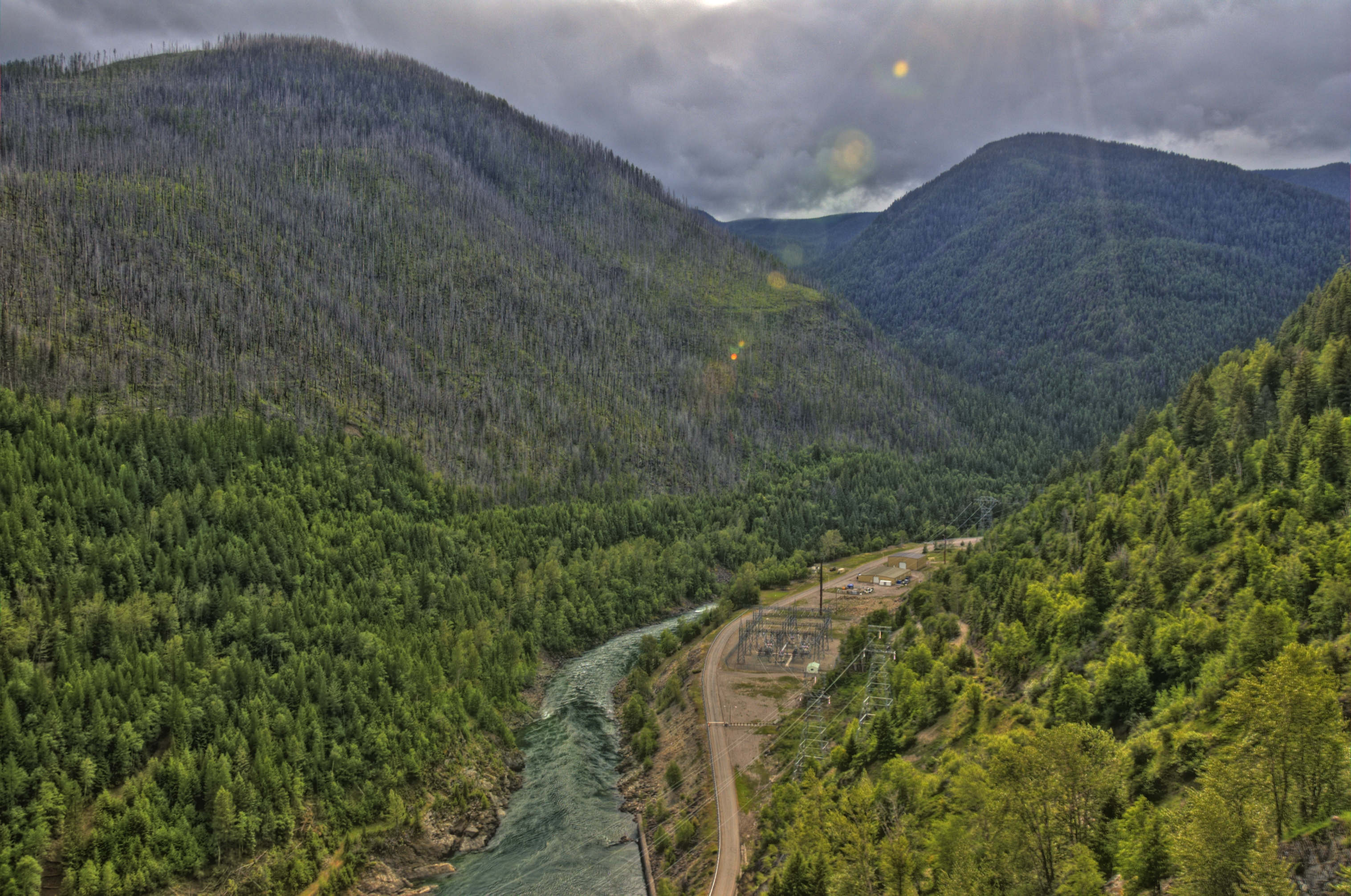
hungry horse dam 1

Emery Creek
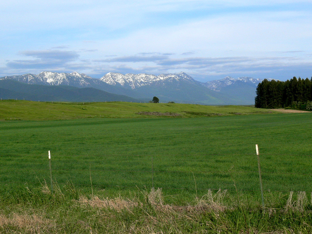
Montford, Montana
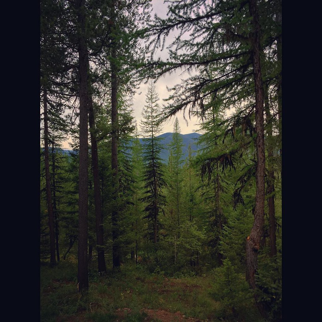
The view from our cabin...I think I could get used to this! The pine trees smell amazing! #Montana #roadtrip
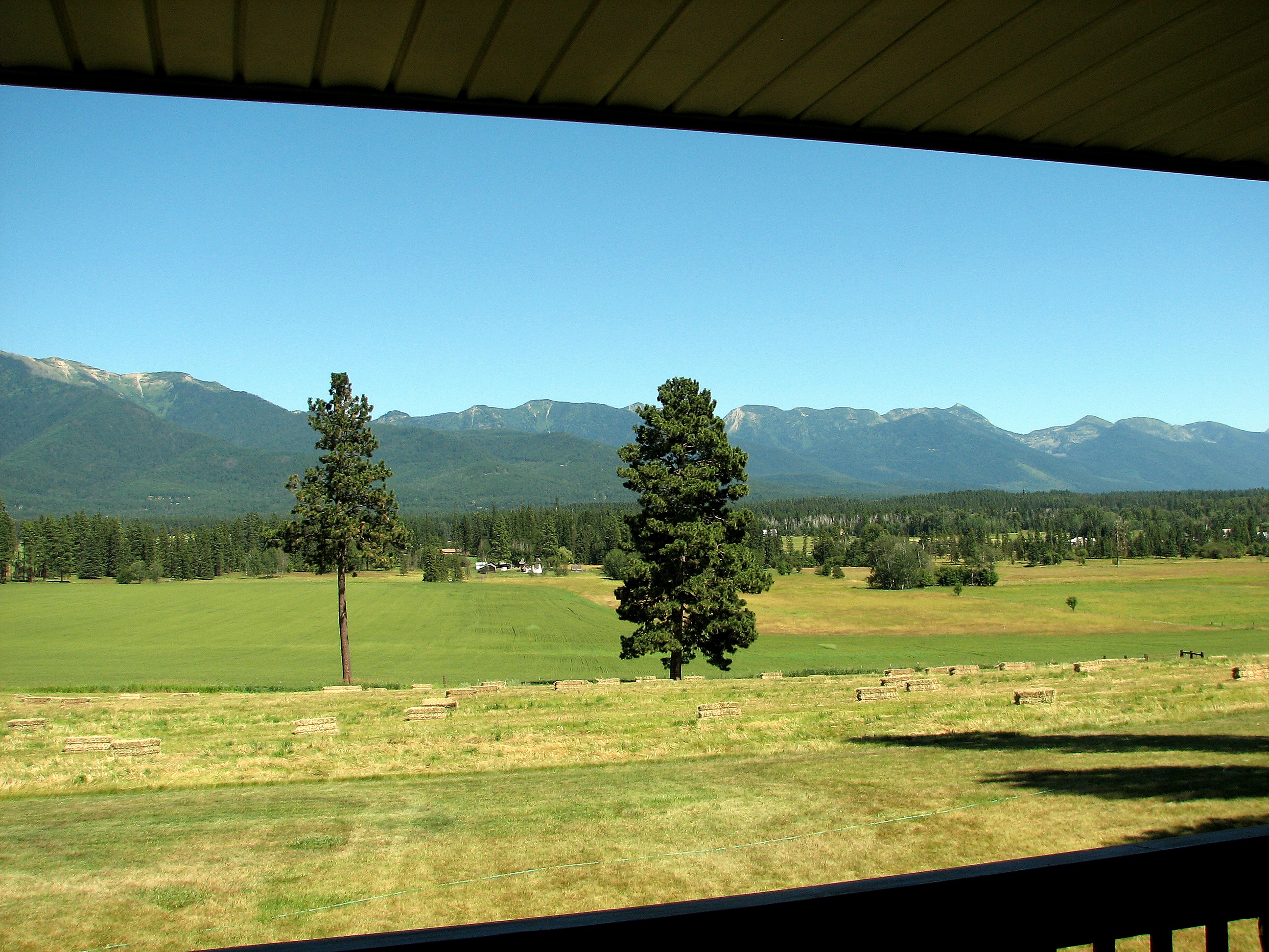
What a view
Topographic Map of Hash Mountain, Montana, USA
Find elevation by address:

Places near Hash Mountain, Montana, USA:
Strawberry Mountain
Doris Ridge
Doris Mountain
263 E Many Lakes Dr
115 Wakewood Dr
118 Many Lakes Dr
1050 5 Deer Ln
410 Sherman Ln
1320 Mooring Meadow Rd
1015 Blue Lake Ln
1025 Labrant Ridge Rd
Tongue Mountain
38 Rocking Horse Ridge
Creston
620 Echo Chalet Dr
137 Blackmer Ln
1310 Mccaffery Rd
1445 Glacier Hills Dr
Hungry Horse
210 Shawnee Dr
Recent Searches:
- Elevation of Corso Fratelli Cairoli, 35, Macerata MC, Italy
- Elevation of Tallevast Rd, Sarasota, FL, USA
- Elevation of 4th St E, Sonoma, CA, USA
- Elevation of Black Hollow Rd, Pennsdale, PA, USA
- Elevation of Oakland Ave, Williamsport, PA, USA
- Elevation of Pedrógão Grande, Portugal
- Elevation of Klee Dr, Martinsburg, WV, USA
- Elevation of Via Roma, Pieranica CR, Italy
- Elevation of Tavkvetili Mountain, Georgia
- Elevation of Hartfords Bluff Cir, Mt Pleasant, SC, USA