Elevation of Doris Ridge, Montana, USA
Location: United States > Montana > Flathead County > Columbia Falls >
Longitude: -114.05277
Latitude: 48.3080555
Elevation: 1999m / 6558feet
Barometric Pressure: 79KPa
Elevation Map:
Satellite Map:
Related Photos:
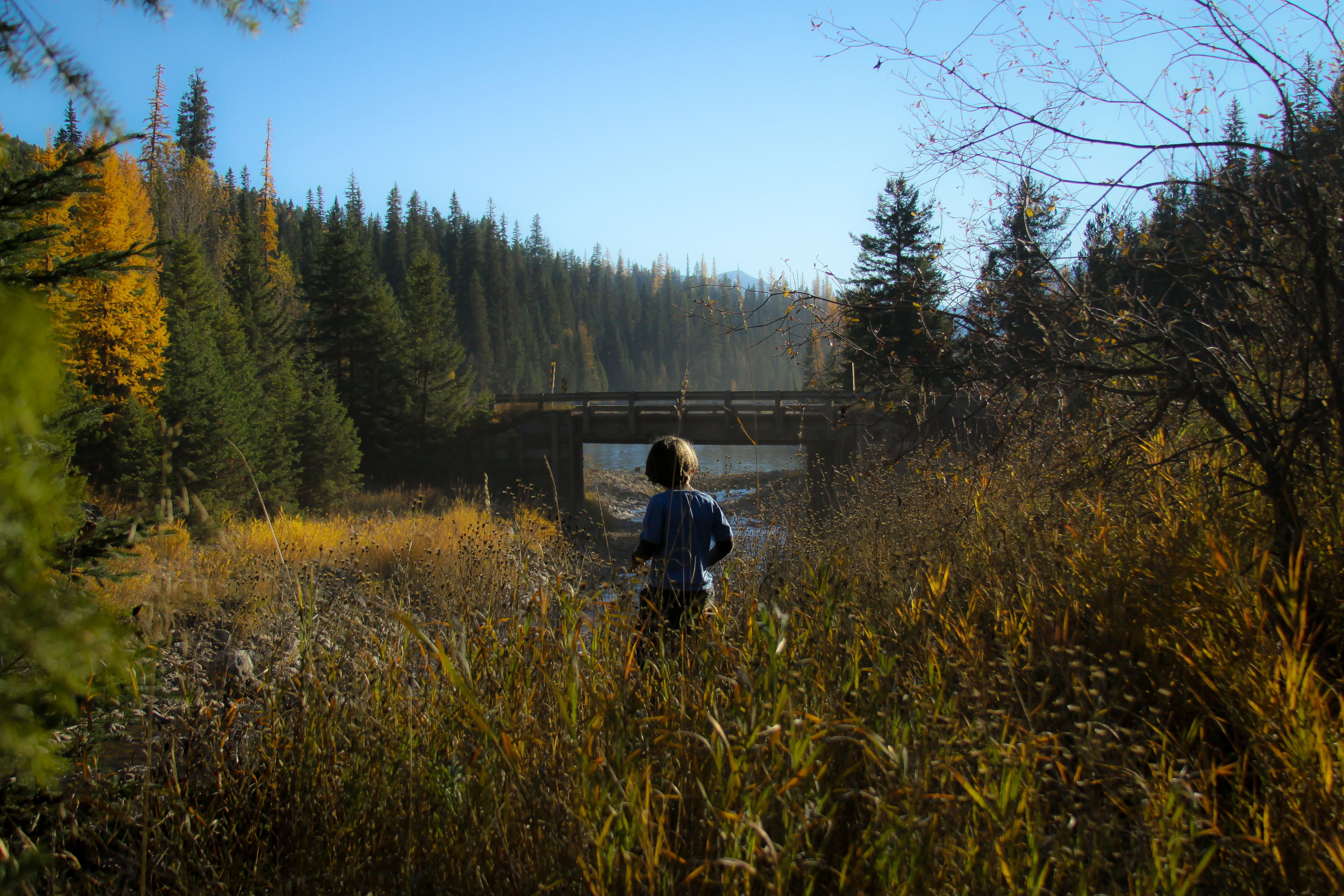
Emery Creek
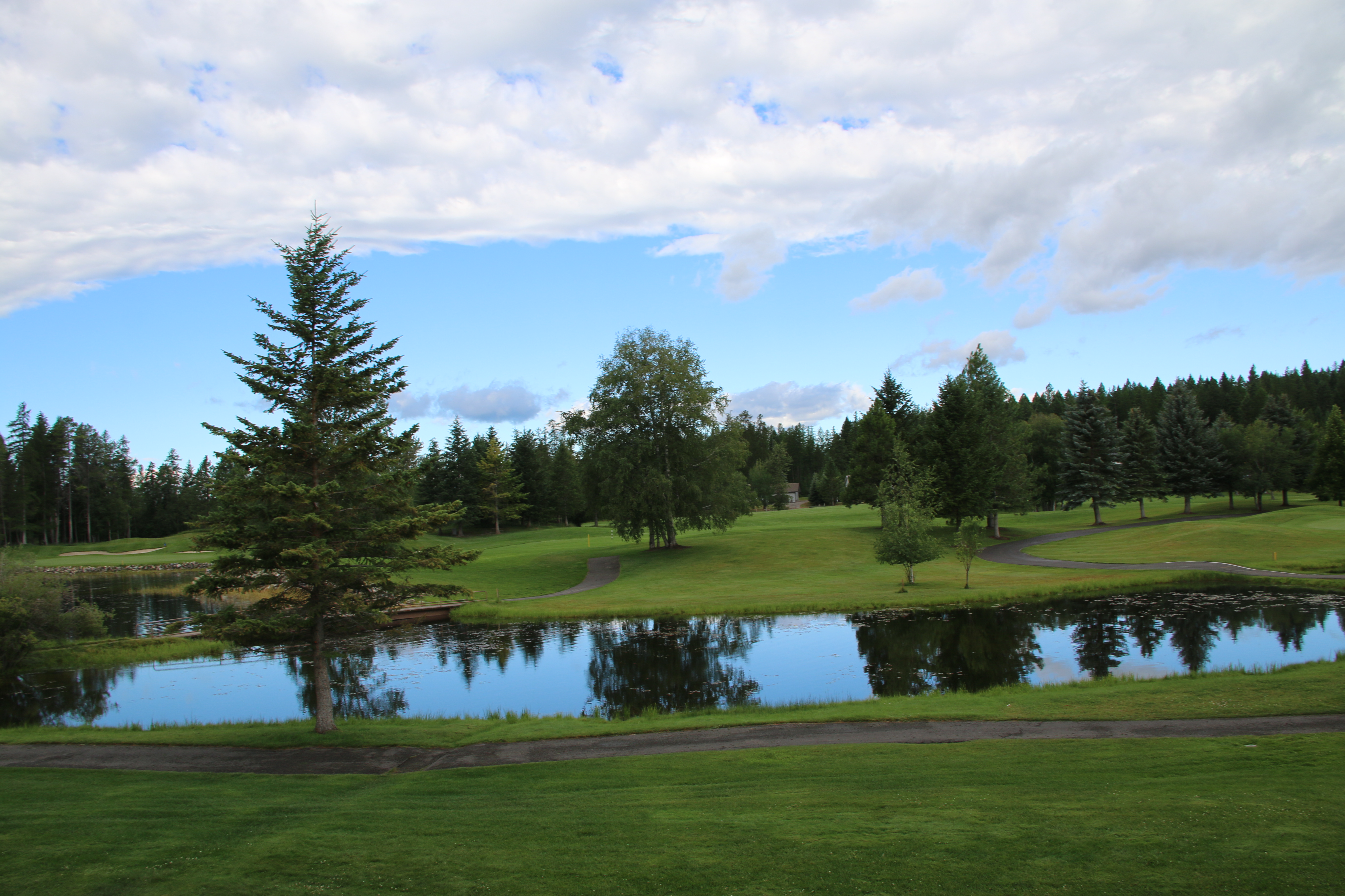
Meadow Lake morning view
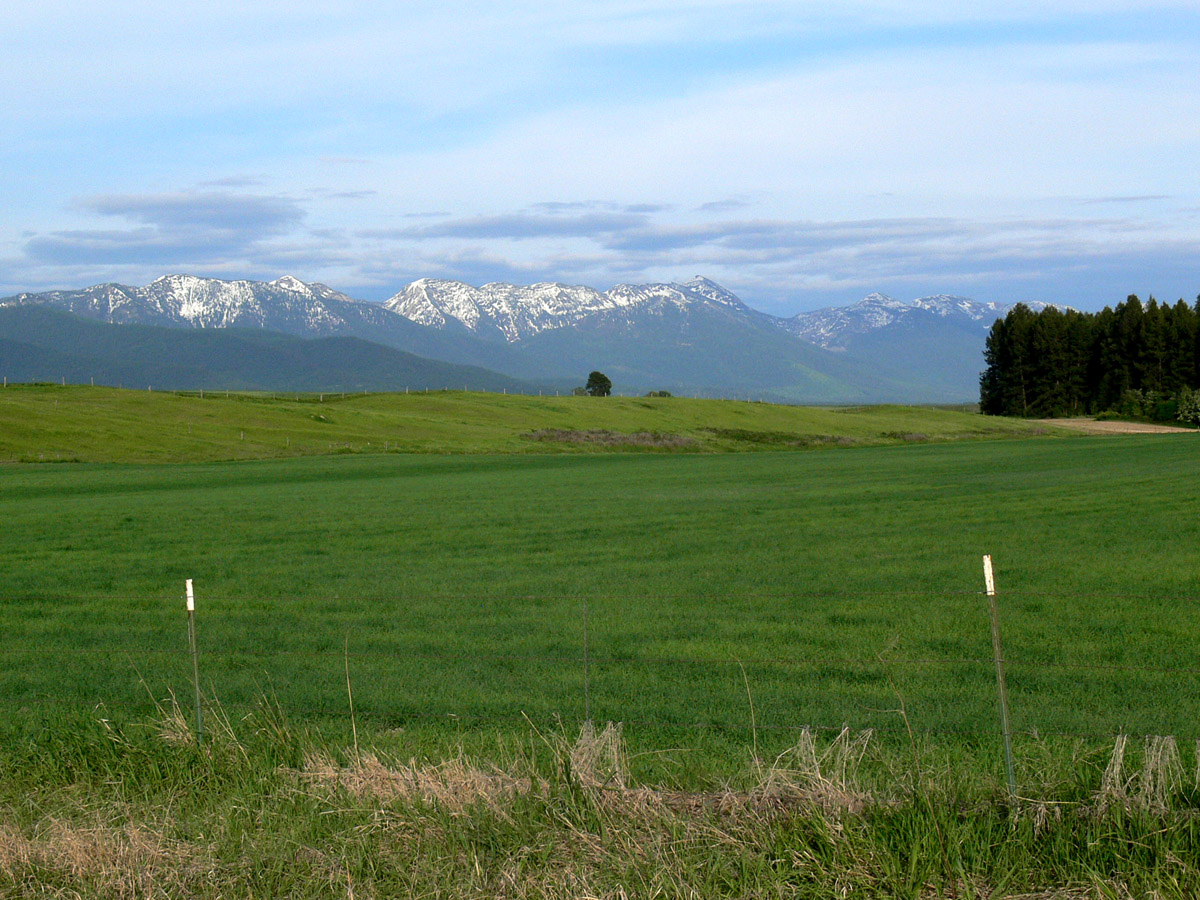
Montford, Montana
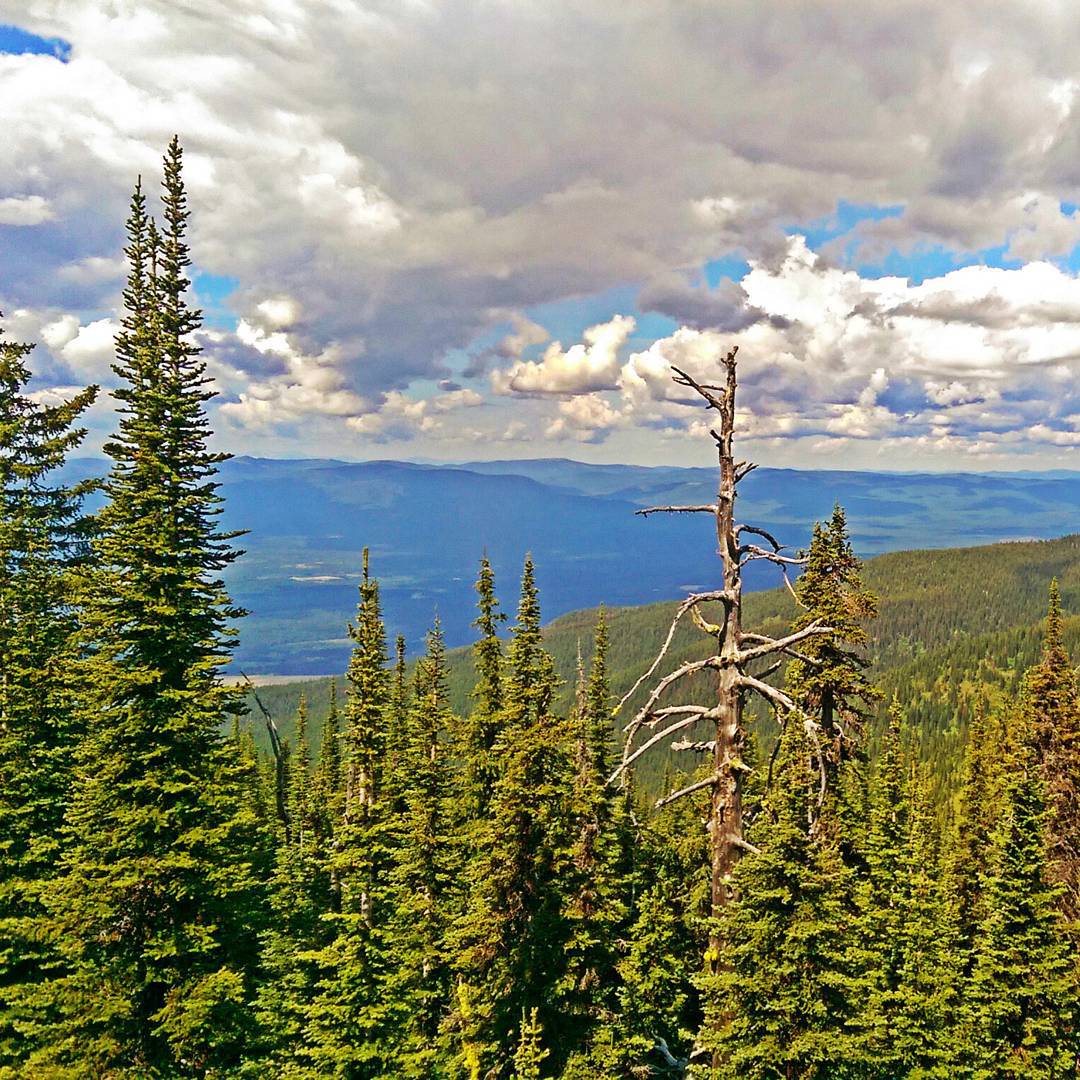
View from the top of Whitefish Mountain
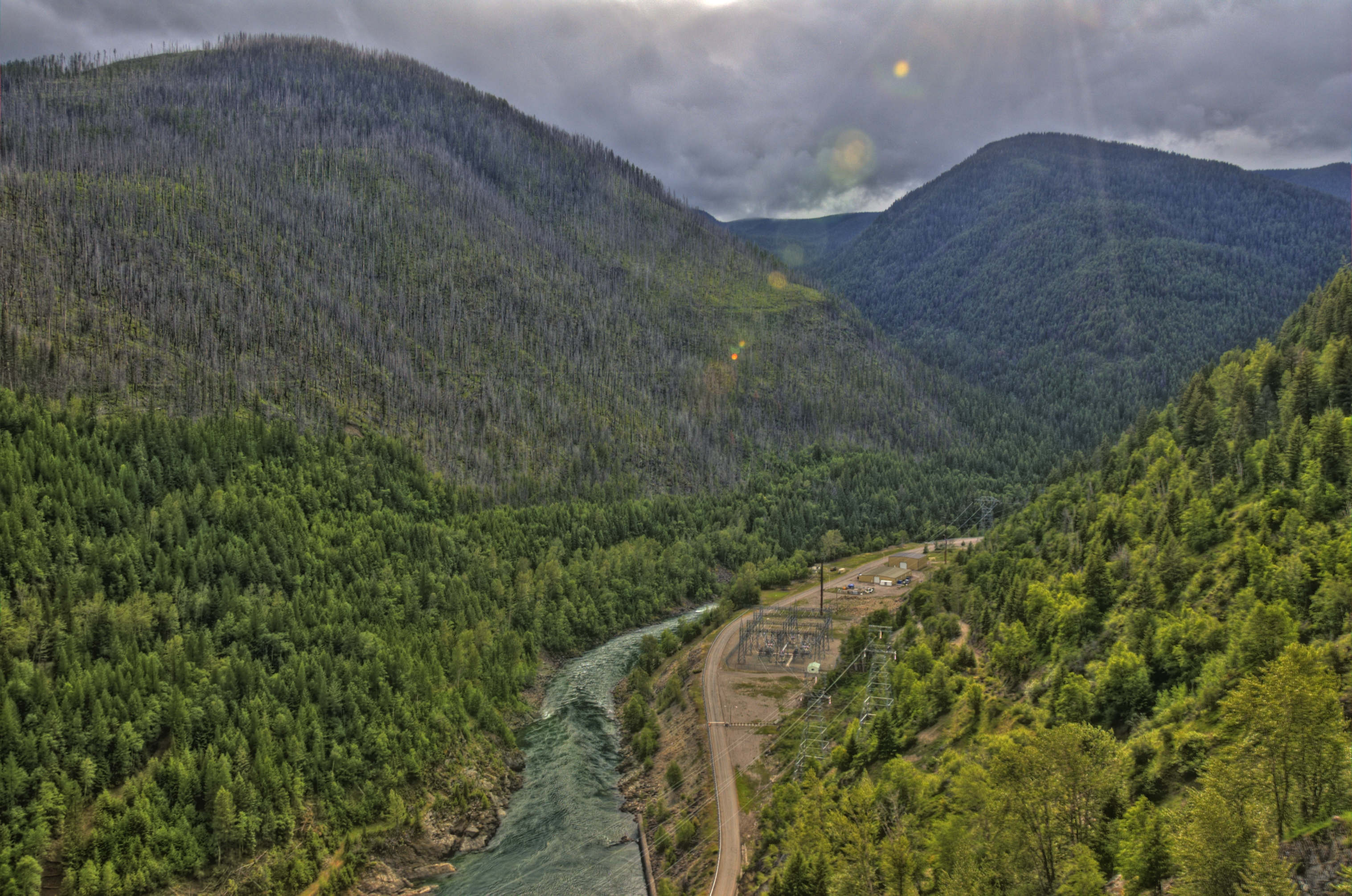
hungry horse dam 1
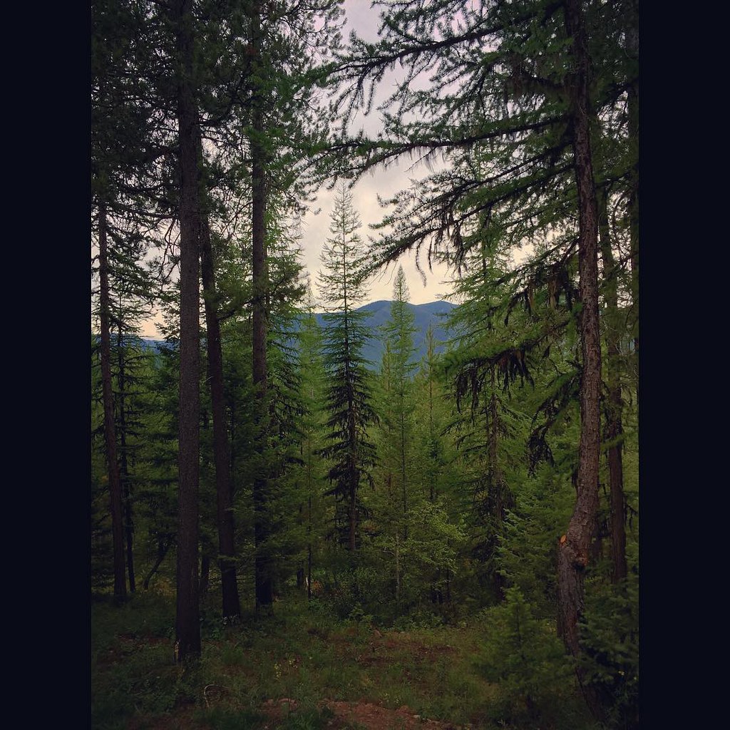
The view from our cabin...I think I could get used to this! The pine trees smell amazing! #Montana #roadtrip
Topographic Map of Doris Ridge, Montana, USA
Find elevation by address:

Places near Doris Ridge, Montana, USA:
Doris Mountain
Hash Mountain
1445 Glacier Hills Dr
Hungry Horse
1320 Mooring Meadow Rd
Martin City
Historic Tamarack Lodge & Cabins
38 Rocking Horse Ridge
1655 Platte Rd
425 Seville Ln
Teakettle Mountain South
464 Tangent Rd
Coram
Strawberry Mountain
137 Blackmer Ln
480 Bad Rock Dr
263 E Many Lakes Dr
115 Wakewood Dr
118 Many Lakes Dr
5995 Columbia Falls Stage Rd
Recent Searches:
- Elevation of Corso Fratelli Cairoli, 35, Macerata MC, Italy
- Elevation of Tallevast Rd, Sarasota, FL, USA
- Elevation of 4th St E, Sonoma, CA, USA
- Elevation of Black Hollow Rd, Pennsdale, PA, USA
- Elevation of Oakland Ave, Williamsport, PA, USA
- Elevation of Pedrógão Grande, Portugal
- Elevation of Klee Dr, Martinsburg, WV, USA
- Elevation of Via Roma, Pieranica CR, Italy
- Elevation of Tavkvetili Mountain, Georgia
- Elevation of Hartfords Bluff Cir, Mt Pleasant, SC, USA