Elevation of Harve Township, AR, USA
Location: United States > Arkansas > Faulkner County >
Longitude: -92.272887
Latitude: 35.1606366
Elevation: 124m / 407feet
Barometric Pressure: 100KPa
Elevation Map:
Satellite Map:
Related Photos:

Greer Veon E1
ISO100-0092

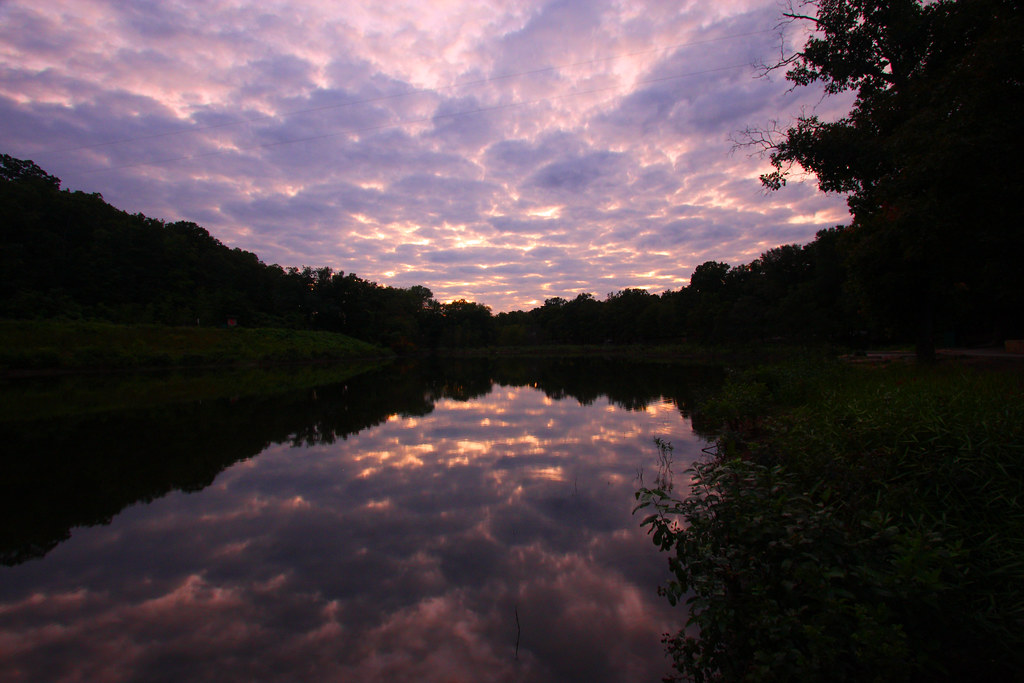
Sunset - 1/22/11
2011-10-02 DSC03600 Woolly Hollowheads
Evening Dew
awkward kids

hay fever
stuck in park
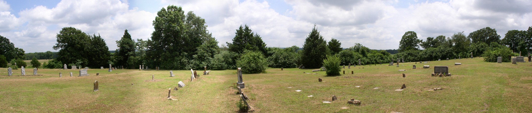
005 Mount Olive
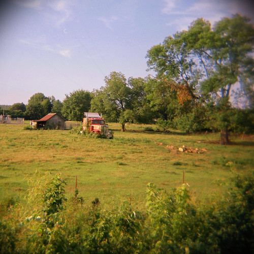
Arkansas Farmland
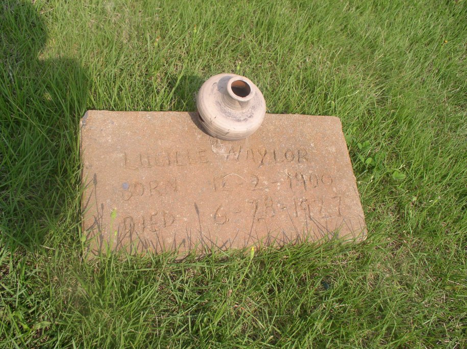
Naylor Lucille
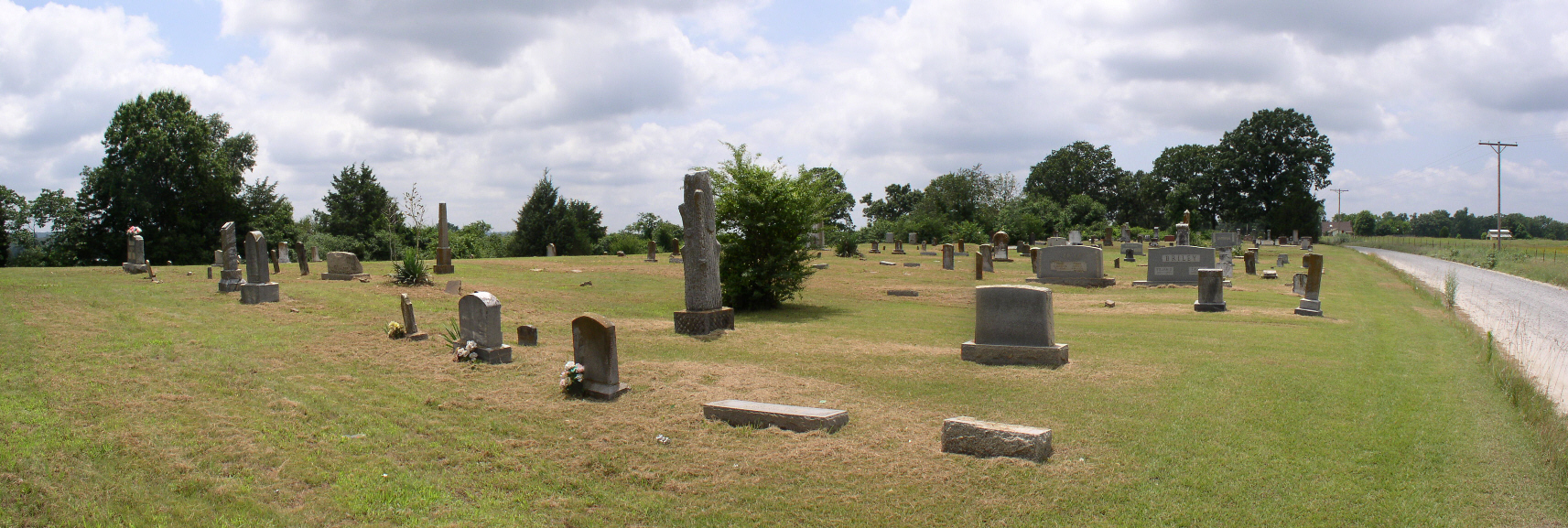
003 Mount Olive
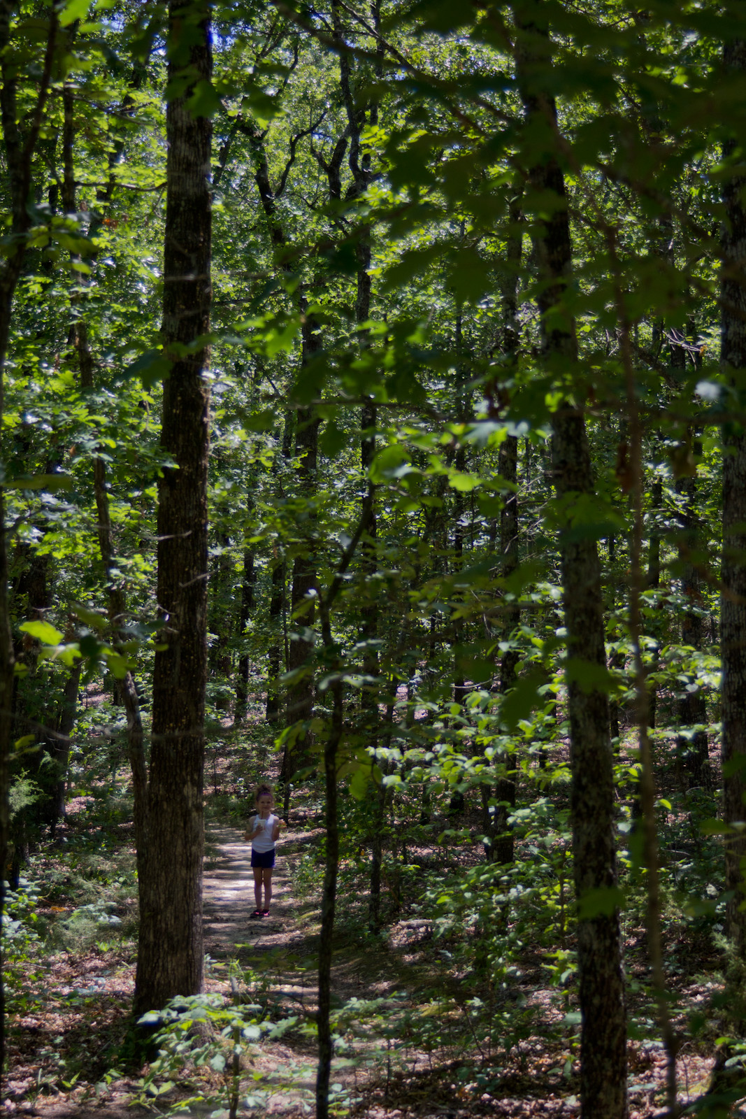
Wolly Hollow Woods

Lake Bennett 1

Lake Bennett 3
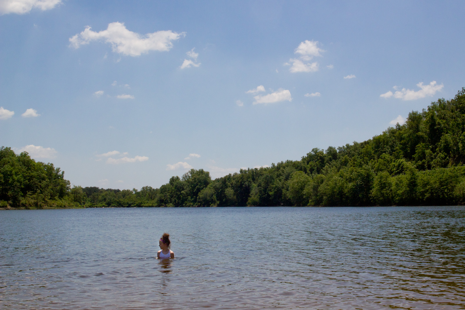
Lake Bennett 4
this day by the lake went too fast

Wilkerson Mary A

Pearl crescent
Topographic Map of Harve Township, AR, USA
Find elevation by address:

Places in Harve Township, AR, USA:
Places near Harve Township, AR, USA:
315-01 State Hwy 287
Matthews Township
Hwy E, Greenbrier, AR, USA
East Fork Township
Hardin Township
Linder Rd, Greenbrier, AR, USA
7 E Main St, Greenbrier, AR, USA
Greenbrier
Garland Springs Rd, Enola, AR, USA
19 Springhill Dr
Benton Township
California Township
Mount Vernon Township
Mount Vernon
AR-36, Mt Vernon, AR, USA
AR-25, Guy, AR, USA
9 Enders Rd, Quitman, AR, USA
Guy
17 Treasure Creek
3 Harbor Dr
Recent Searches:
- Elevation of Royal Ontario Museum, Queens Park, Toronto, ON M5S 2C6, Canada
- Elevation of Groblershoop, South Africa
- Elevation of Power Generation Enterprises | Industrial Diesel Generators, Oak Ave, Canyon Country, CA, USA
- Elevation of Chesaw Rd, Oroville, WA, USA
- Elevation of N, Mt Pleasant, UT, USA
- Elevation of 6 Rue Jules Ferry, Beausoleil, France
- Elevation of Sattva Horizon, 4JC6+G9P, Vinayak Nagar, Kattigenahalli, Bengaluru, Karnataka, India
- Elevation of Great Brook Sports, Gold Star Hwy, Groton, CT, USA
- Elevation of 10 Mountain Laurels Dr, Nashua, NH, USA
- Elevation of 16 Gilboa Ln, Nashua, NH, USA