Elevation of Hardin Township, AR, USA
Location: United States > Arkansas > Faulkner County >
Longitude: -92.351752
Latitude: 35.2250605
Elevation: 92m / 302feet
Barometric Pressure: 100KPa
Elevation Map:
Satellite Map:
Related Photos:
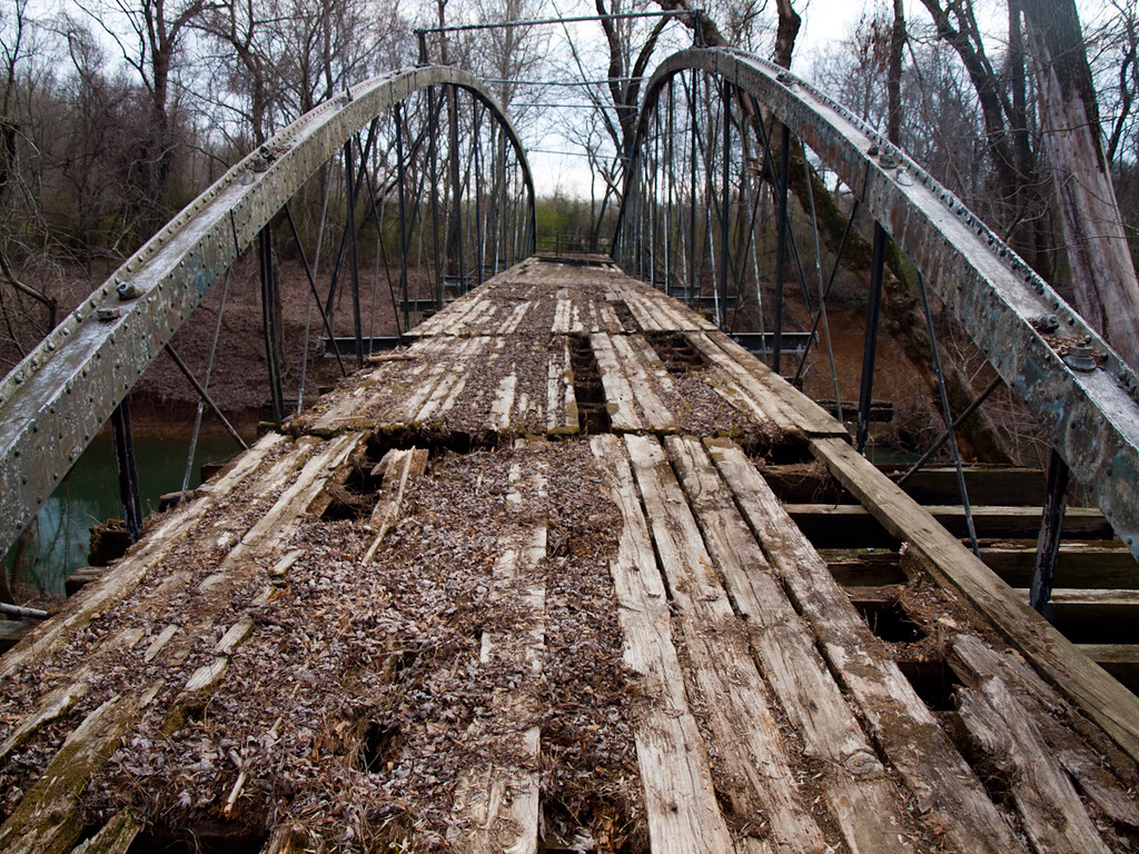
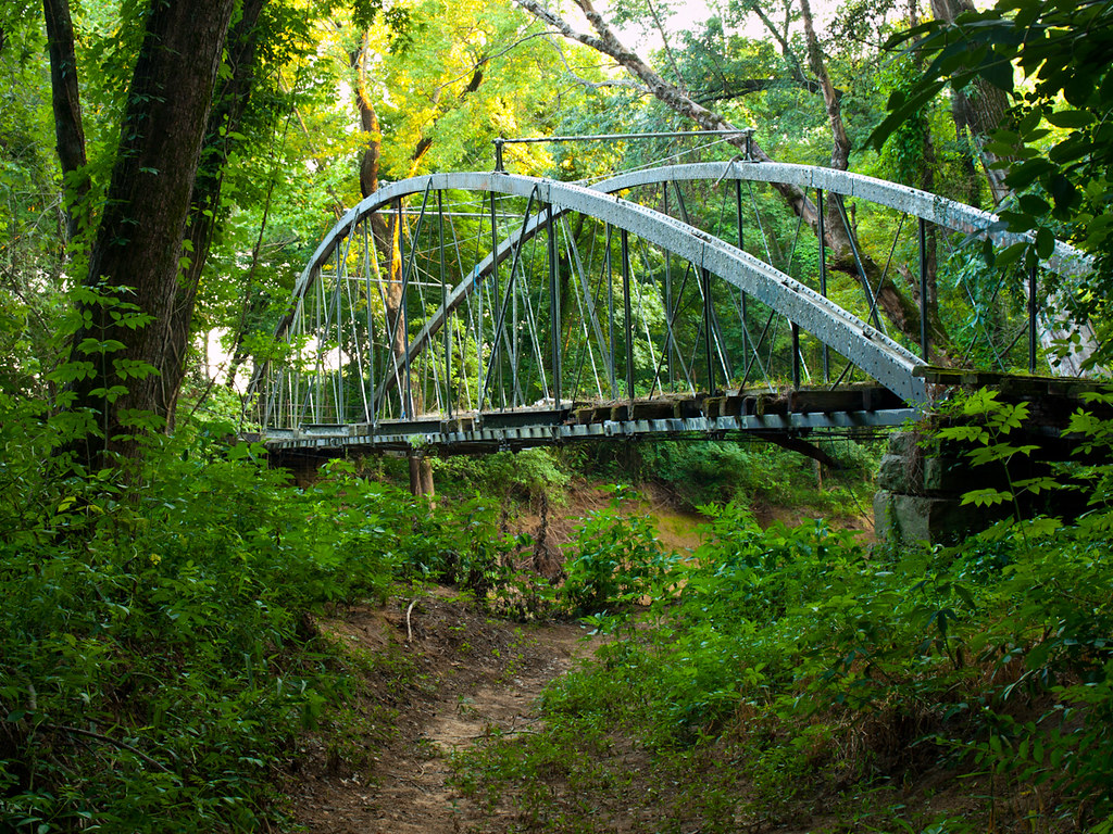
Springfield Bridge
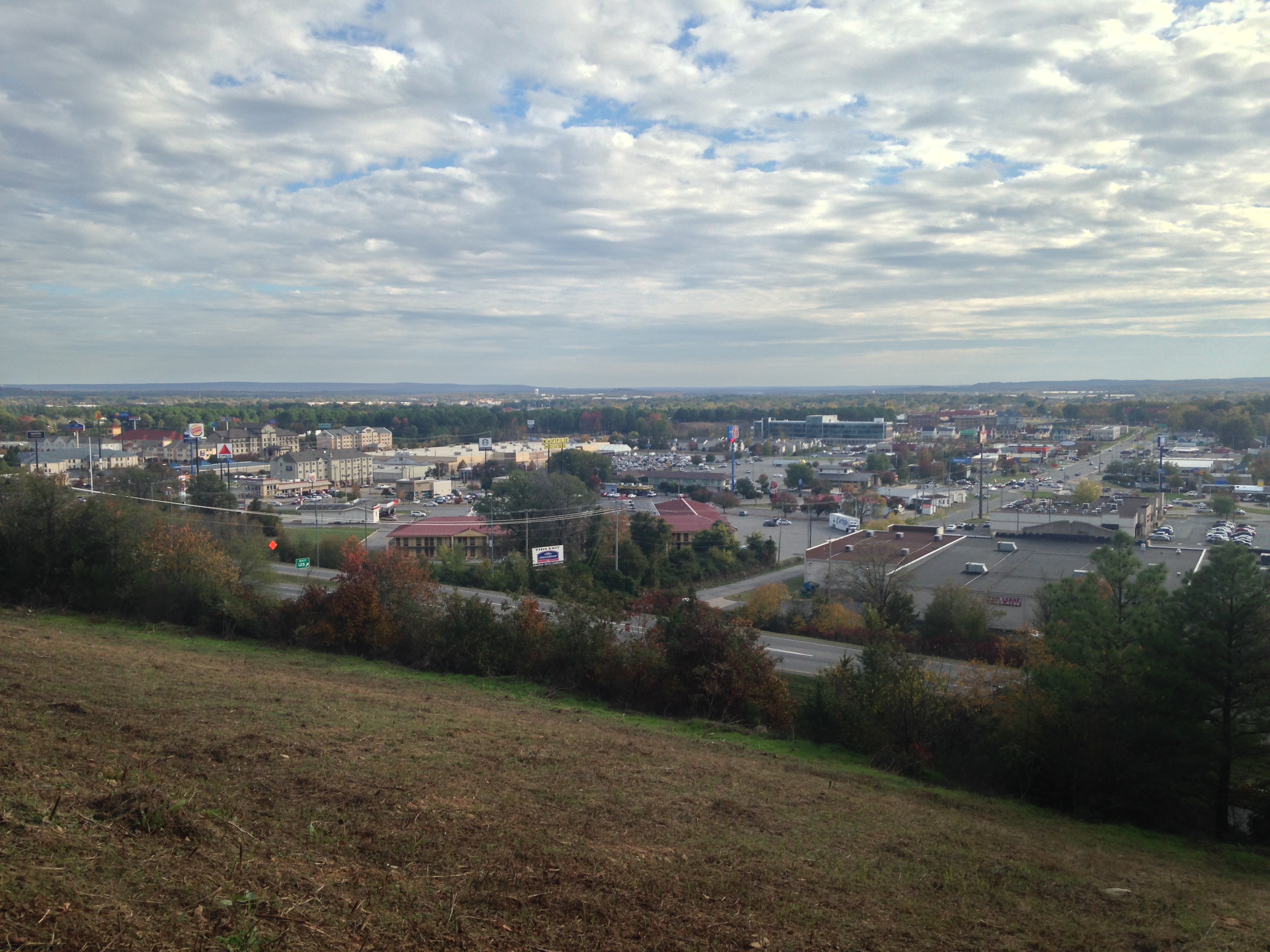
Above the City
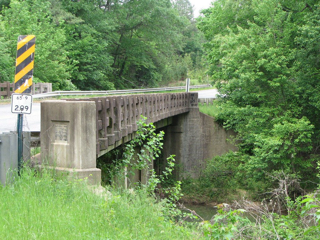
Batesville Creek-Side View

Shadow cycling.

Low Sun, Lake and Waterlilies
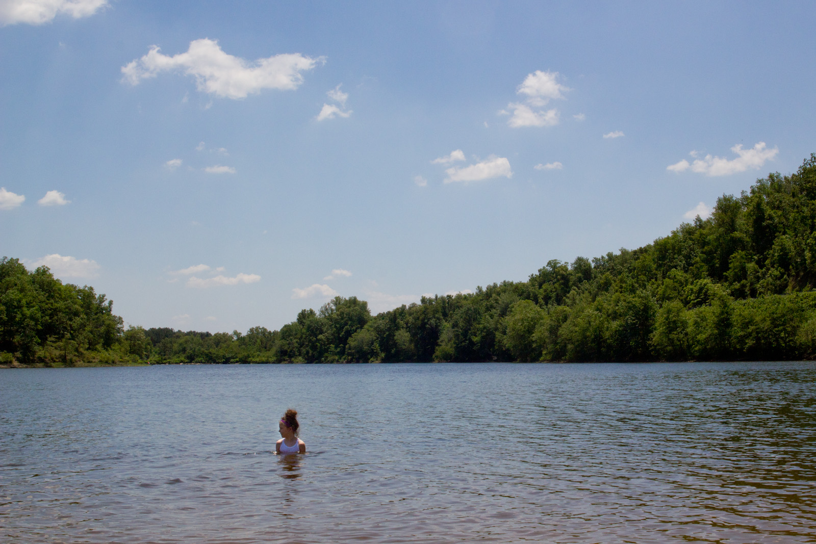
this day by the lake went too fast
2011-10-02 DSC03600 Woolly Hollowheads
Evening Dew
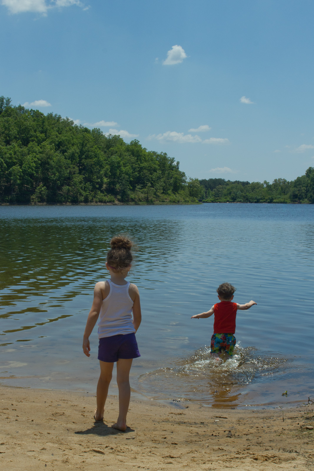
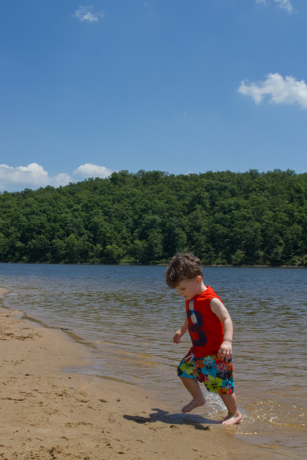
awkward kids
aaajh444 023
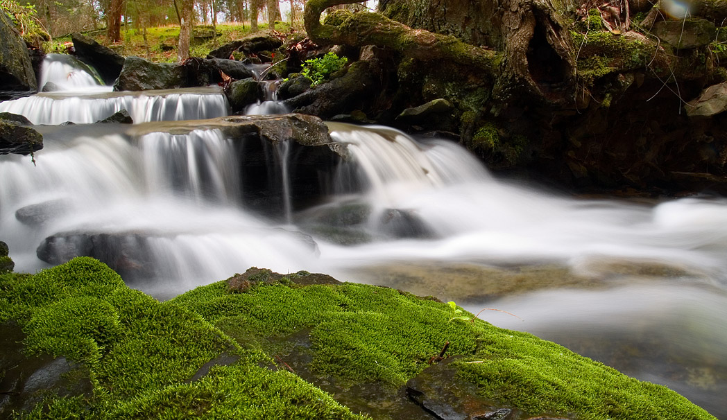
mossy creek
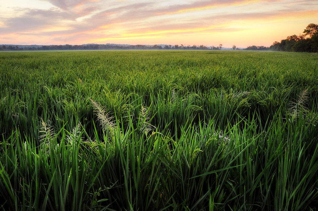
Arkansas Farmland
Springfield Bridge
Wolly Hollow Woods
Lake Bennett 1
Lake Bennett 3

Freshman Orientation 2010 - Playfair
Maymester 2009 - 151821
Lake Bennett 4
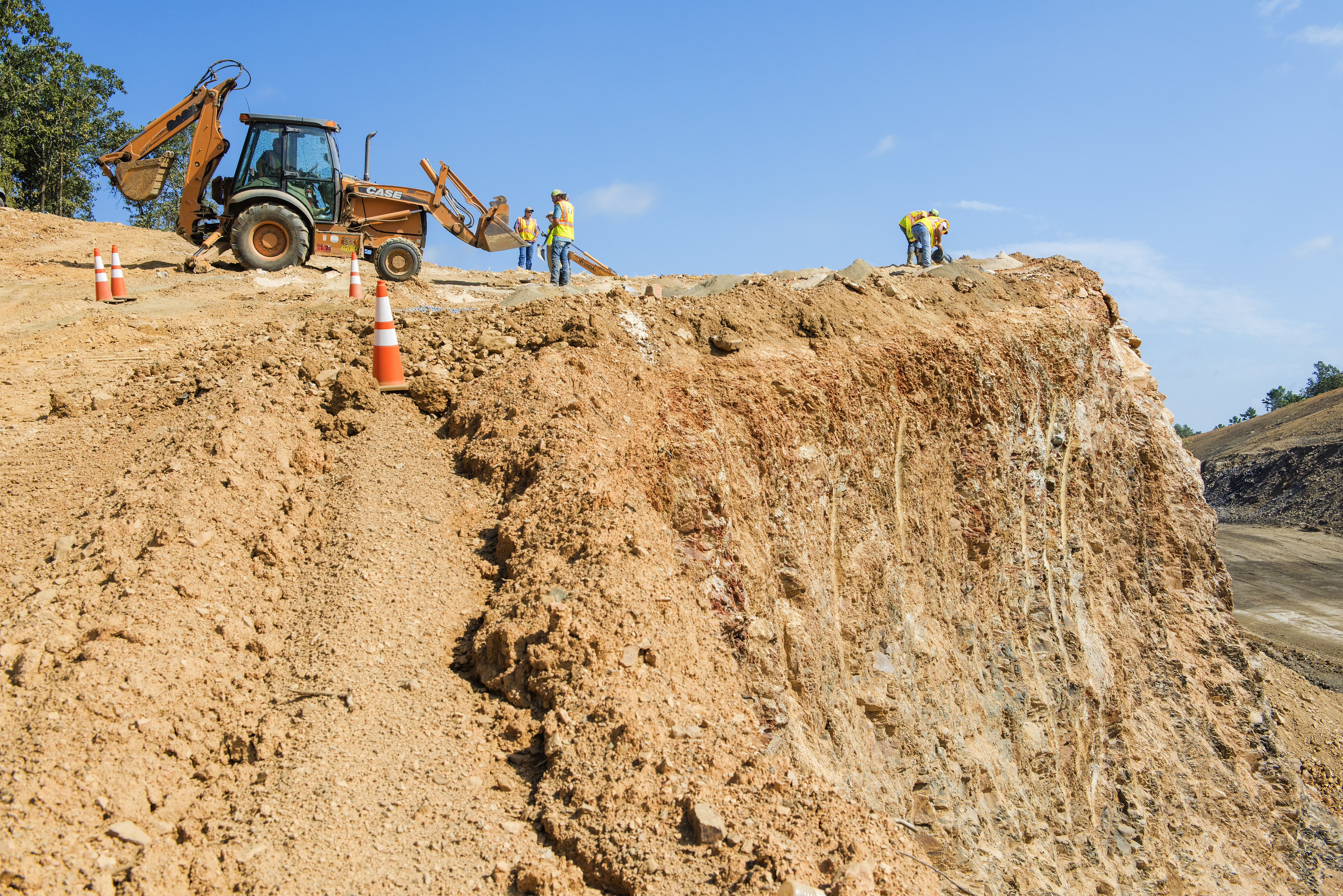
Hwy. 25 realignment
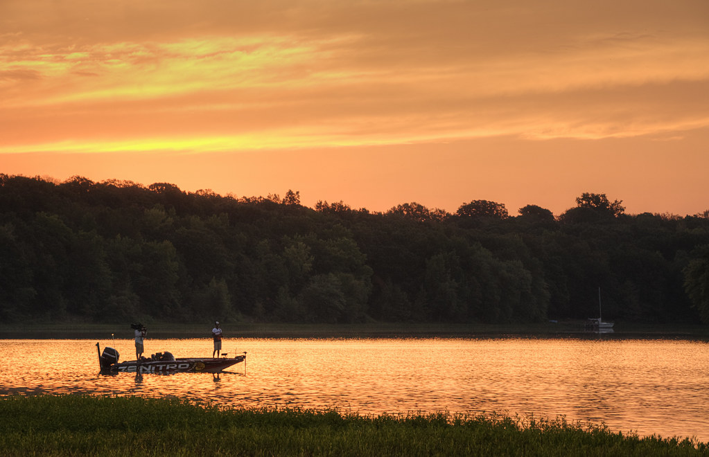
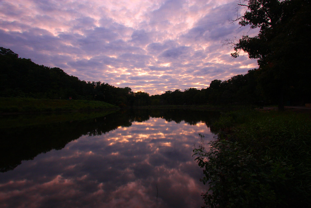
Early Morning Fishing
Topographic Map of Hardin Township, AR, USA
Find elevation by address:

Places in Hardin Township, AR, USA:
Places near Hardin Township, AR, USA:
7 E Main St, Greenbrier, AR, USA
Greenbrier
Linder Rd, Greenbrier, AR, USA
315-01 State Hwy 287
East Fork Township
19 Springhill Dr
Hwy E, Greenbrier, AR, USA
17 Treasure Creek
Matthews Township
California Township
Cash Springs Rd, Greenbrier, AR, USA
Union Township
Guy
Harve Township
Wooster
3 Harbor Dr
AR-25, Guy, AR, USA
Benton Township
9 Enders Rd, Quitman, AR, USA
Garland Springs Rd, Enola, AR, USA
Recent Searches:
- Elevation of Crocker Dr, Vacaville, CA, USA
- Elevation of Pu Ngaol Community Meeting Hall, HWHM+3X7, Krong Saen Monourom, Cambodia
- Elevation of Royal Ontario Museum, Queens Park, Toronto, ON M5S 2C6, Canada
- Elevation of Groblershoop, South Africa
- Elevation of Power Generation Enterprises | Industrial Diesel Generators, Oak Ave, Canyon Country, CA, USA
- Elevation of Chesaw Rd, Oroville, WA, USA
- Elevation of N, Mt Pleasant, UT, USA
- Elevation of 6 Rue Jules Ferry, Beausoleil, France
- Elevation of Sattva Horizon, 4JC6+G9P, Vinayak Nagar, Kattigenahalli, Bengaluru, Karnataka, India
- Elevation of Great Brook Sports, Gold Star Hwy, Groton, CT, USA