Elevation of Harrisonville, PA, USA
Location: United States > Pennsylvania > Fulton County > Licking Creek >
Longitude: -78.059448
Latitude: 39.9875867
Elevation: 236m / 774feet
Barometric Pressure: 99KPa
Elevation Map:
Satellite Map:
Related Photos:
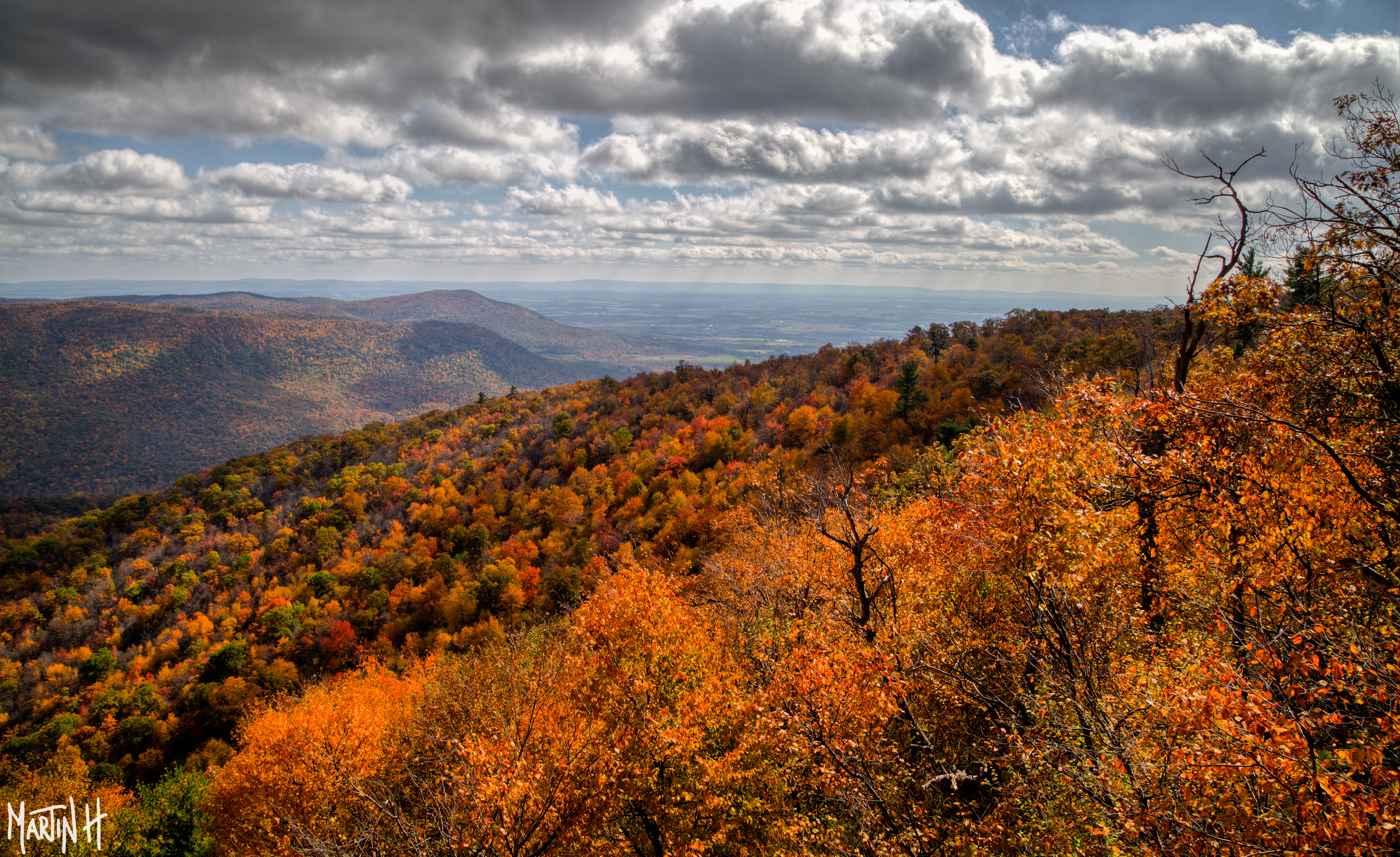
Fall Colors 1 -9J7A8958
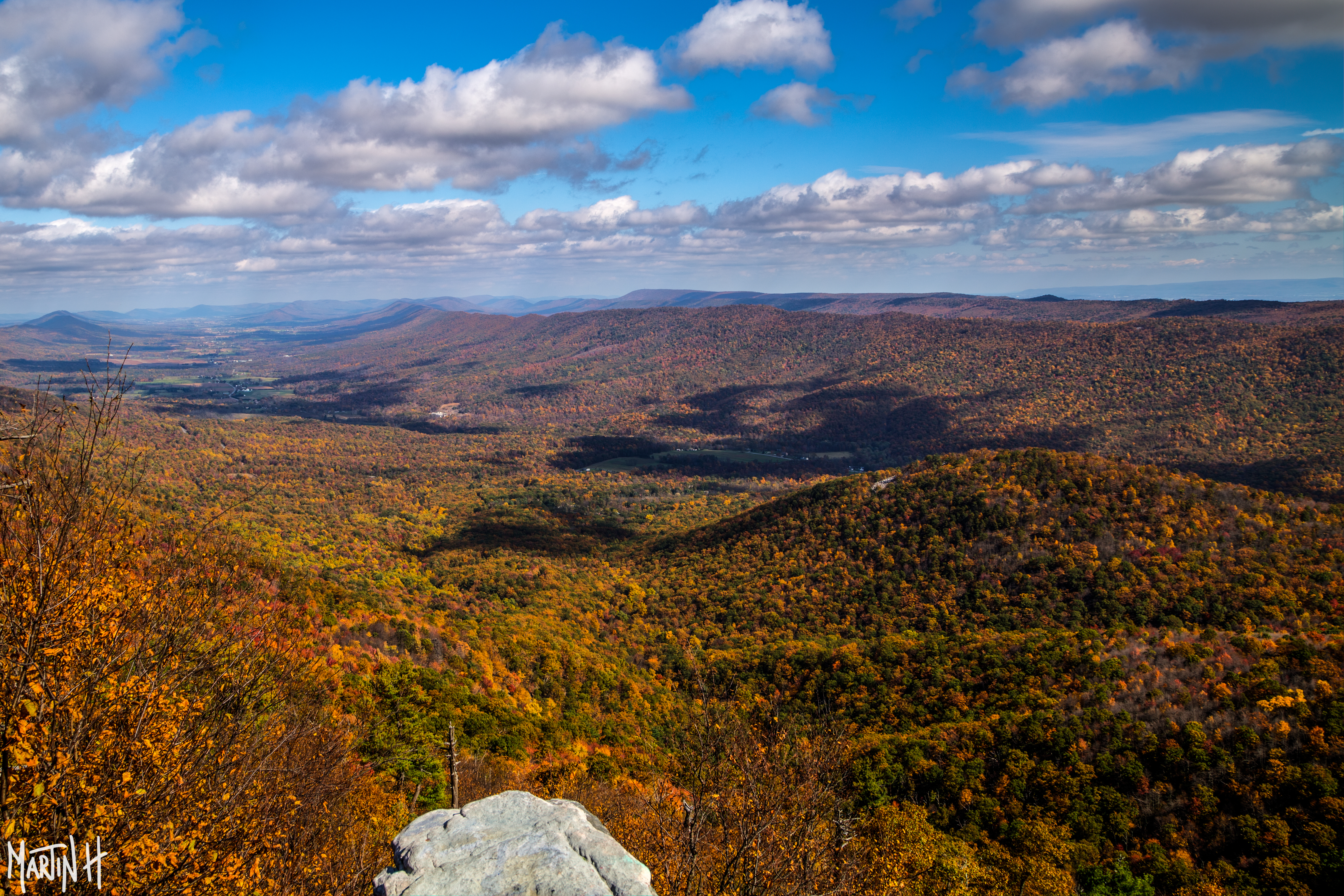
Fall Colors 2 -9J7A9021
Such a view on these rolling hills!
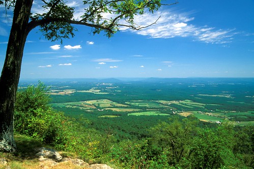
View from Sideling Hill Lookout
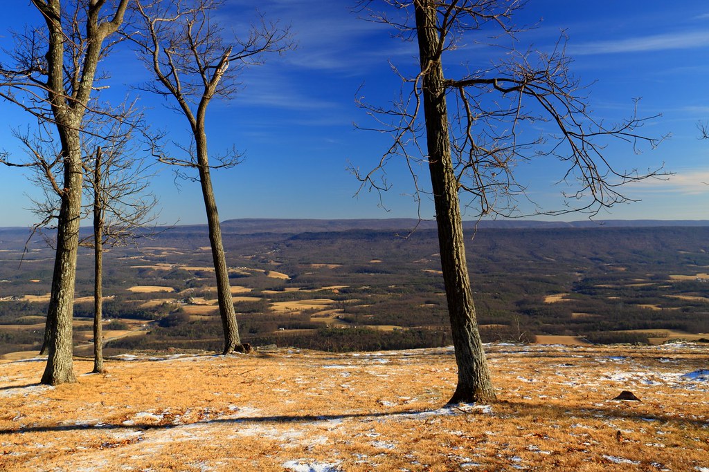
View from Sideling Hill Lookout
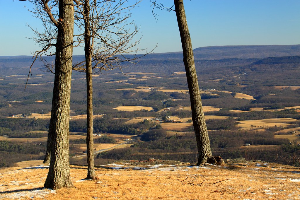
View from Sideling Hill Lookout
Sideling Hill
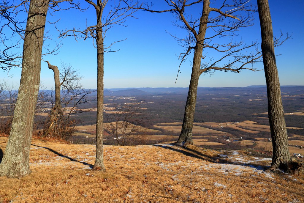
View from Sideling Hill Lookout
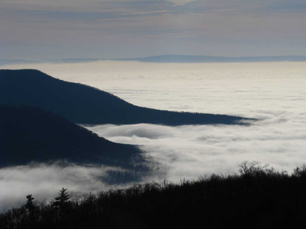
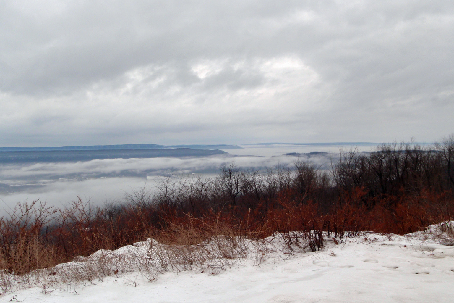
"Great Valley" Fog

DSC07661.JPG
Sideling Hill
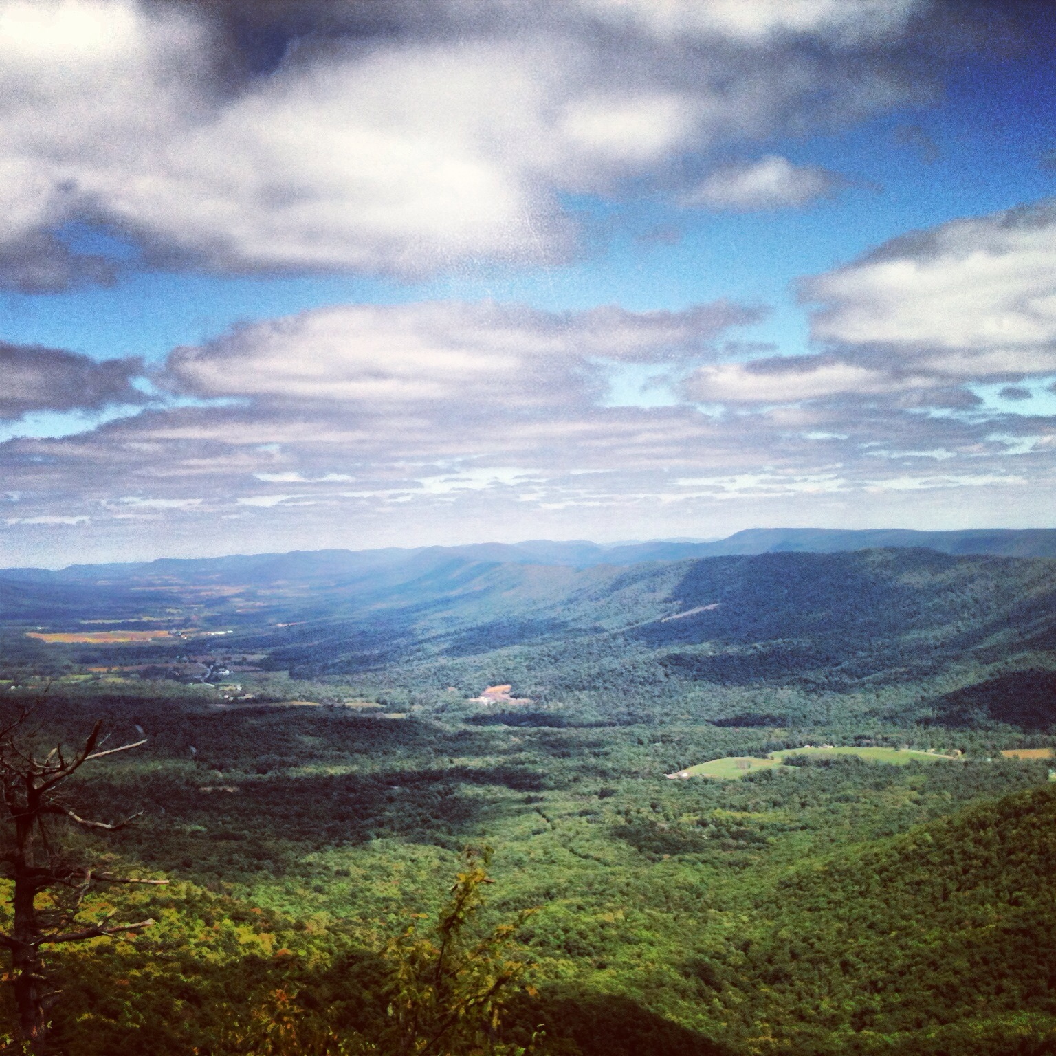
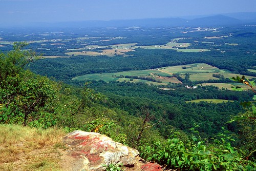
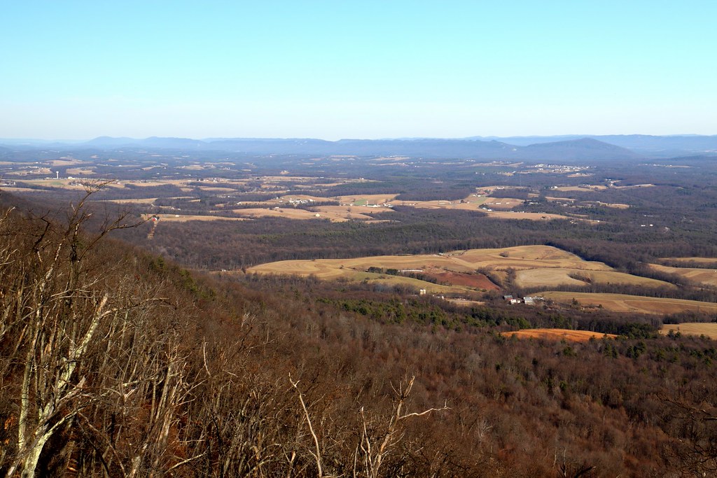
View of the Valley
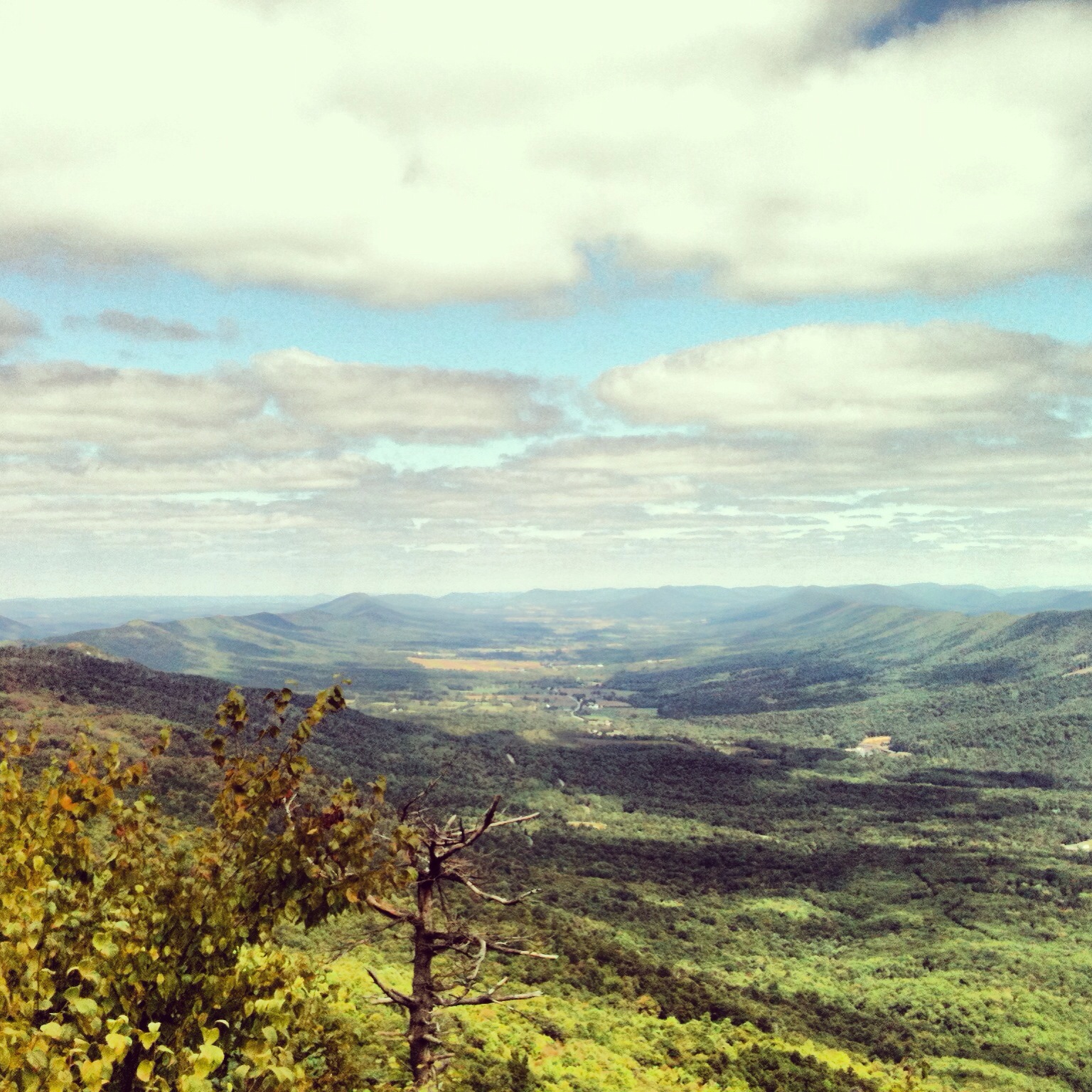
valley view

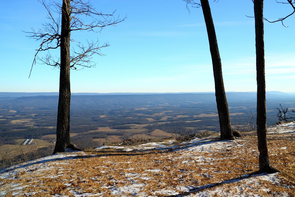
winter view
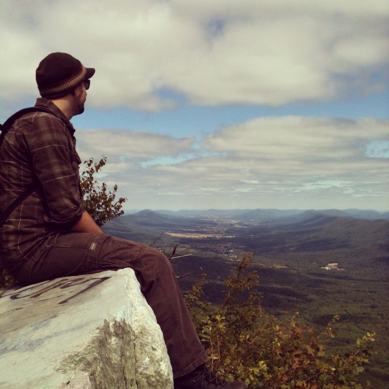
Before the Hike
View from Sideling Hill Lookout

Top of the Sidling Hill Mountain

Union Cemetery Chapel on a Fall Morning
a nice view
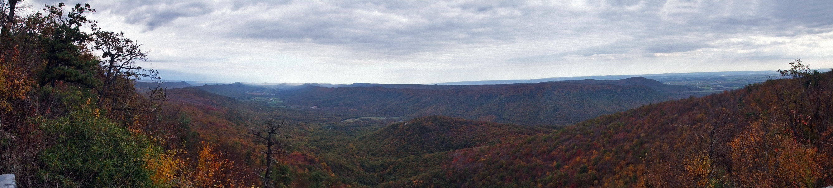
Path Valley Panorama
Jno. Shoaff, Co. H, 107th Pa. Inf. (Breezewood, PA)

Buchanan State Forest PA - 2017-07-09 (40)

Cowan's Gap State Park PA - 2017-02-20 (33)

Cowan's Gap State Park PA - 2017-02-20 (46)
Pa Corn Field Blue Sky

Buchanan State Forest PA - 2017-07-09 (56)
Abandoned Turnpike.

Great Cove Fall Panorama

Cowan's Gap State Park PA - 2017-02-20 (43)

A Field

Buchanan State Forest PA - 2017-07-09 (51)

Summer Sunflowers
Middle pa

Sipes Mill Elk Farm - 2014-08-07 (14)
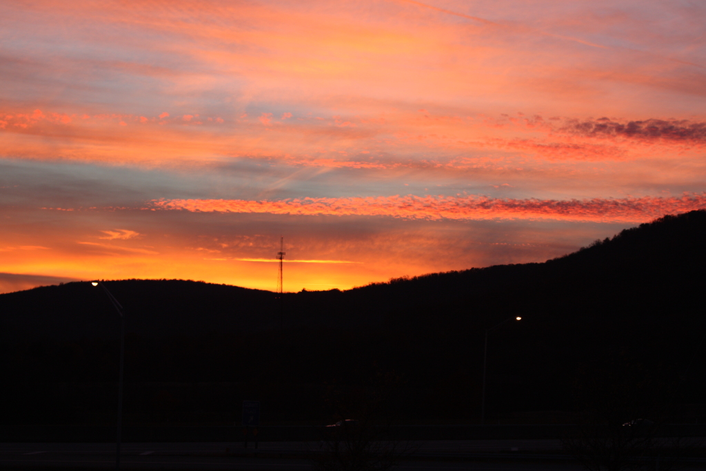
rosy colors

Buchanan State Forest PA - 2014-08-14 (3)

Cowan's Gap State Park PA - 2017-02-20 (4)

Down on the Farm

Buchanan's Birthplace State Park PA - 2015-02-17 (1)

And after gloom since #Ohio (Which makes perfect sense), the sky went #LittleFluffyClouds here in #Pennsylvania and I went out in awe.
Topographic Map of Harrisonville, PA, USA
Find elevation by address:

Places near Harrisonville, PA, USA:
955 School House Rd
1923 Forrestdale Rd
1451 Lear Rd
Licking Creek
Sideling Hill Travel Plaza
10513 Sipes Mill Rd
347 Ebenezer Church Rd
Swope Rd, Needmore, PA, USA
139 Slabtown Dr
Fulton County
3946 Mountain Rd
Lincoln Hwy, Breezewood, PA, USA
Brush Creek Township
Boorman Road
585 Boorman Rd
Crystal Spring
Breezewood
East Providence Township
672 W Graceville Rd
1987 Menchtown Rd
Recent Searches:
- Elevation of Chesaw Rd, Oroville, WA, USA
- Elevation of N, Mt Pleasant, UT, USA
- Elevation of 6 Rue Jules Ferry, Beausoleil, France
- Elevation of Sattva Horizon, 4JC6+G9P, Vinayak Nagar, Kattigenahalli, Bengaluru, Karnataka, India
- Elevation of Great Brook Sports, Gold Star Hwy, Groton, CT, USA
- Elevation of 10 Mountain Laurels Dr, Nashua, NH, USA
- Elevation of 16 Gilboa Ln, Nashua, NH, USA
- Elevation of Laurel Rd, Townsend, TN, USA
- Elevation of 3 Nestling Wood Dr, Long Valley, NJ, USA
- Elevation of Ilungu, Tanzania