Elevation of Ebenezer Church Rd, Needmore, PA, USA
Location: United States > Pennsylvania > Fulton County > Belfast Township > Needmore >
Longitude: -78.133489
Latitude: 39.928729
Elevation: 294m / 965feet
Barometric Pressure: 98KPa
Elevation Map:
Satellite Map:
Related Photos:
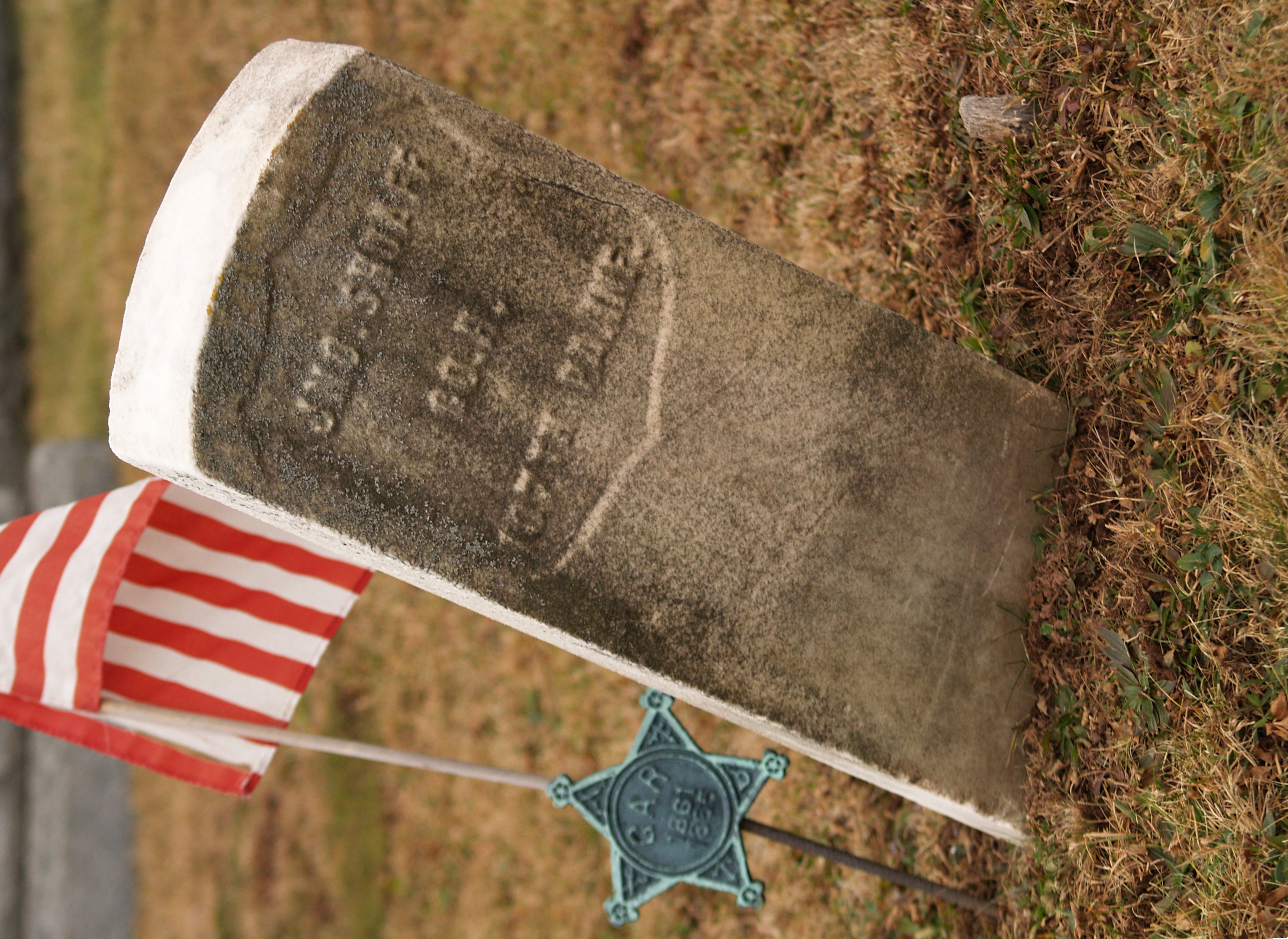
Jno. Shoaff, Co. H, 107th Pa. Inf. (Breezewood, PA)
Such a view on these rolling hills!
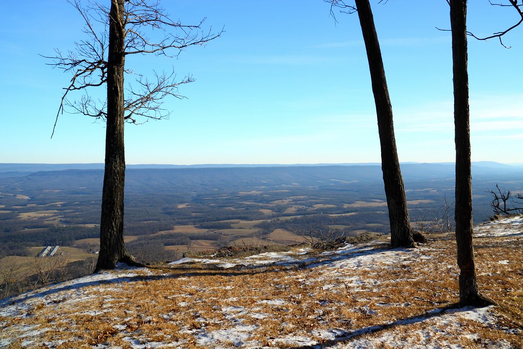
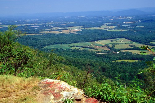
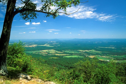
View from Sideling Hill Lookout
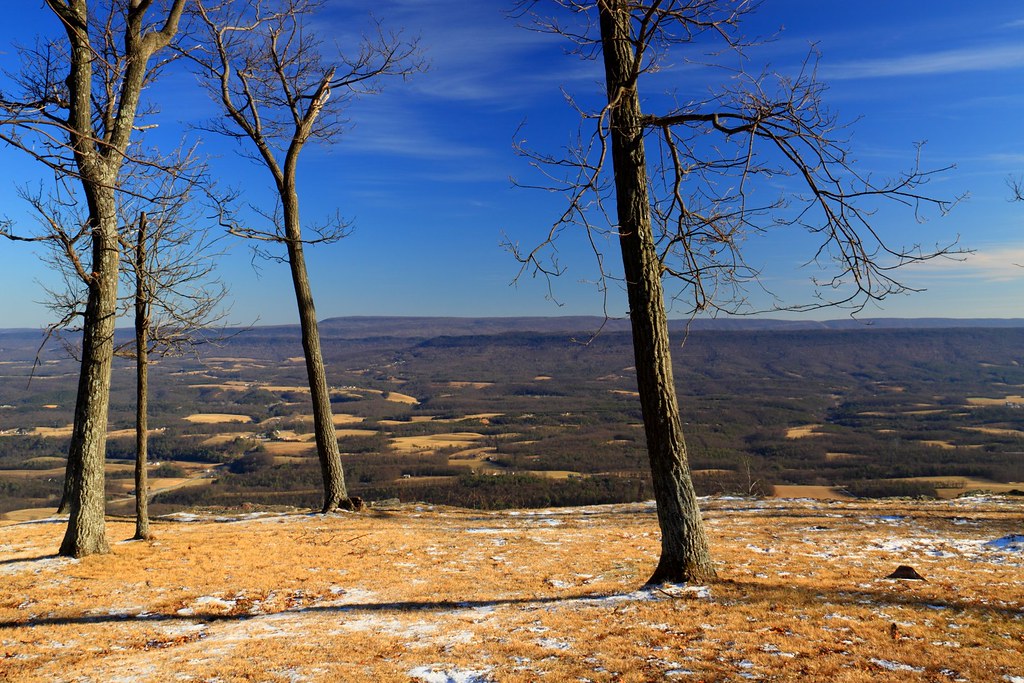
View from Sideling Hill Lookout
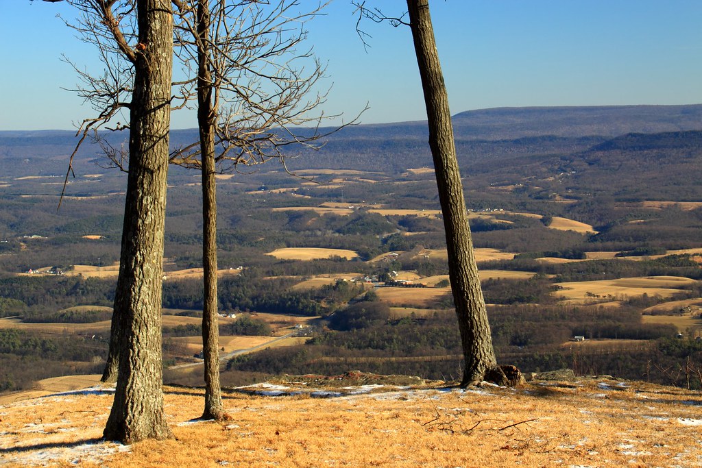
View from Sideling Hill Lookout
Sideling Hill

Travel views
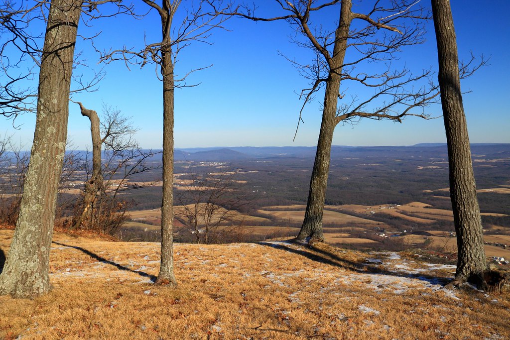
View from Sideling Hill Lookout

DSC07661.JPG
Sideling Hill
Before the Hike
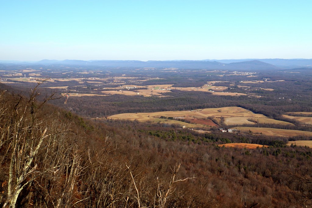
View from Sideling Hill Lookout

Union Cemetery Chapel on a Fall Morning

Autumn afternoon view, Big Mountain, Fulton-Franklin County line, Pennsylvania
View from McDonald's Lot

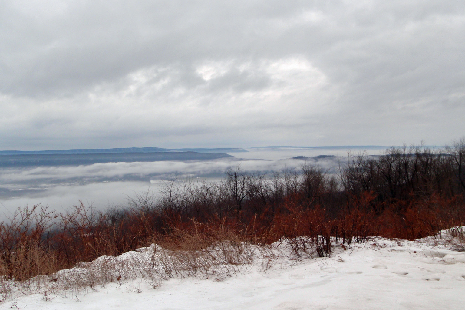
Foggy View from Sideling Hill (Buchanan State Forest, PA)
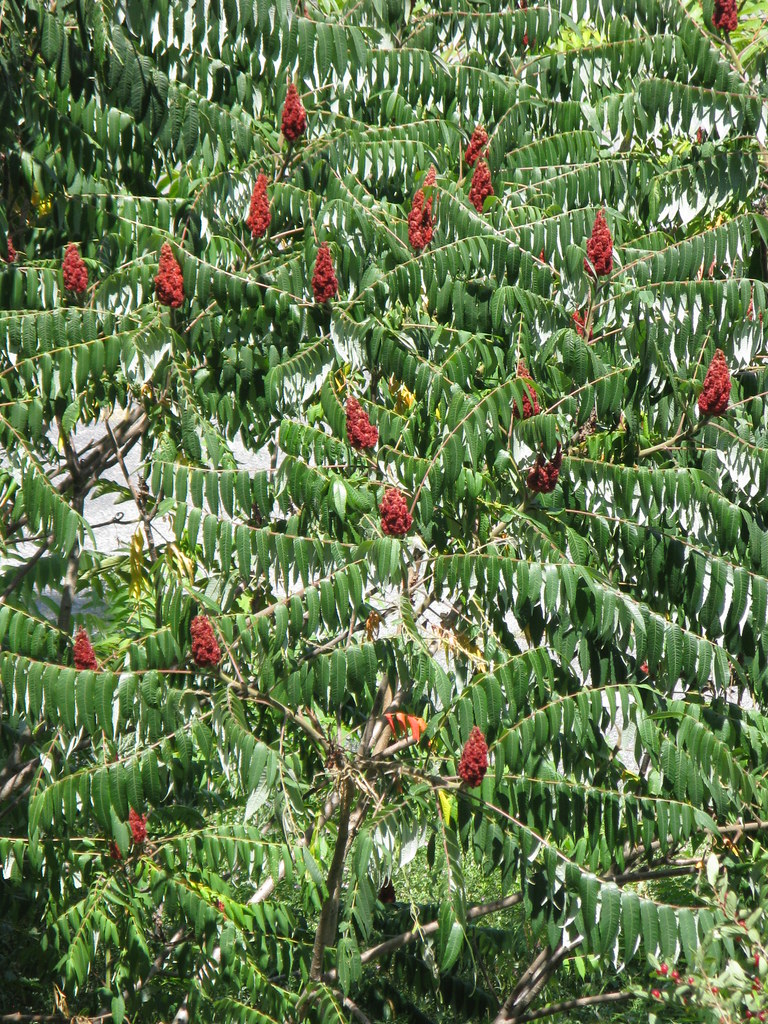
Staghorn Sumac
SAN-NYC (770)
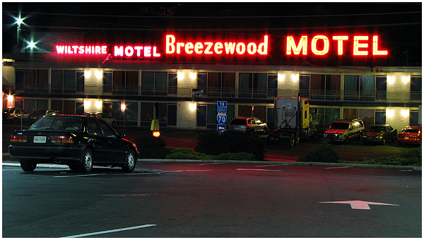
View east of Breezewood
SAN-NYC (781)
Pulpit launch 360

Buchanan State Forest PA - 2017-07-09 (56)
Abandoned Turnpike.

Buchanan State Forest PA - 2017-07-09 (40)
Pa Corn Field Blue Sky

Great Cove Fall Panorama

A Field

Buchanan State Forest PA - 2017-07-09 (51)

Summer Sunflowers
Middle pa

Sipes Mill Elk Farm - 2014-08-07 (14)
rosy colors

Buchanan State Forest PA - 2014-08-14 (3)

Down on the Farm

And after gloom since #Ohio (Which makes perfect sense), the sky went #LittleFluffyClouds here in #Pennsylvania and I went out in awe.

The Risk Of Some Rays...
The Jacksons Mill Covered Bridge over Brush Creek near Breezewood PA

As the sun sets behind me and the storms keep moving east, the ridges show better

Summer Sunflowers
Topographic Map of Ebenezer Church Rd, Needmore, PA, USA
Find elevation by address:

Places near Ebenezer Church Rd, Needmore, PA, USA:
Swope Rd, Needmore, PA, USA
10513 Sipes Mill Rd
Fulton County
3946 Mountain Rd
Licking Creek
1923 Forrestdale Rd
Boorman Road
955 School House Rd
Brush Creek Township
585 Boorman Rd
Harrisonville
Crystal Spring
1451 Lear Rd
Lincoln Hwy, Breezewood, PA, USA
Breezewood
Sideling Hill Travel Plaza
139 Slabtown Dr
East Providence Township
1987 Menchtown Rd
672 W Graceville Rd
Recent Searches:
- Elevation of Elwyn Dr, Roanoke Rapids, NC, USA
- Elevation of Congressional Dr, Stevensville, MD, USA
- Elevation of Bellview Rd, McLean, VA, USA
- Elevation of Stage Island Rd, Chatham, MA, USA
- Elevation of Shibuya Scramble Crossing, 21 Udagawacho, Shibuya City, Tokyo -, Japan
- Elevation of Jadagoniai, Kaunas District Municipality, Lithuania
- Elevation of Pagonija rock, Kranto 7-oji g. 8"N, Kaunas, Lithuania
- Elevation of Co Rd 87, Jamestown, CO, USA
- Elevation of Tenjo, Cundinamarca, Colombia
- Elevation of Côte-des-Neiges, Montreal, QC H4A 3J6, Canada