Elevation of Hares Mill Rd, Cofield, NC, USA
Location: United States > North Carolina > Hertford County > Winton > Cofield >
Longitude: -76.902455
Latitude: 36.386258
Elevation: 0m / 0feet
Barometric Pressure: 101KPa
Elevation Map:
Satellite Map:
Related Photos:

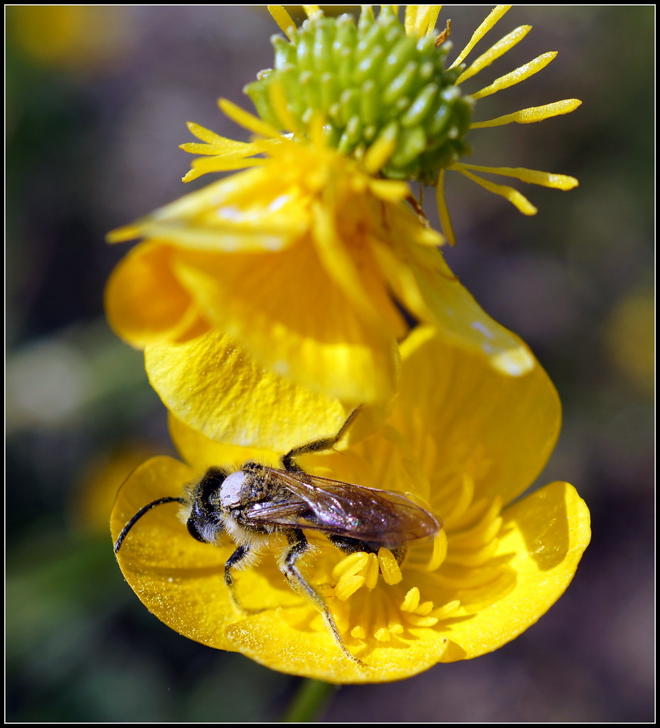
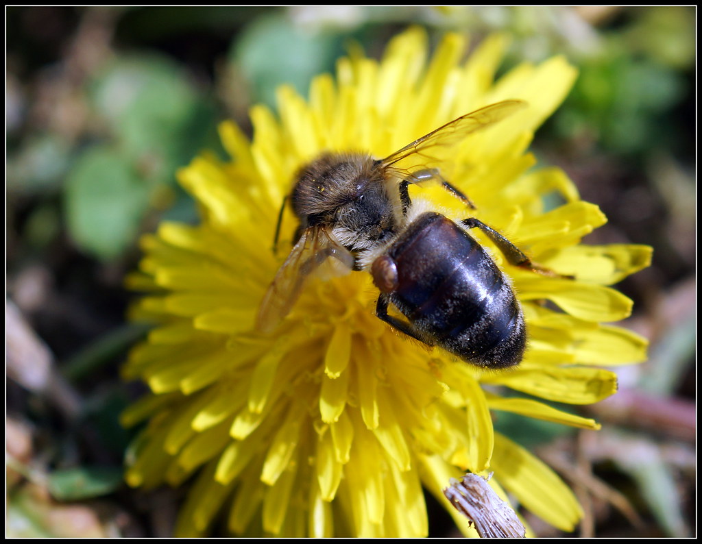
Bumble Bee on Flower
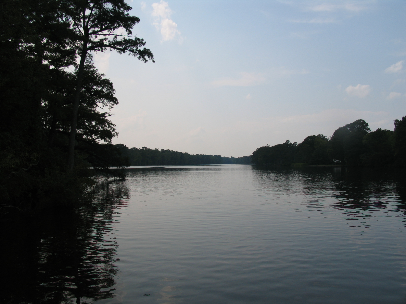
A quiet Meherrin River
Posted Red Reflector

Bumble Bee on a flower

Dandelion Seeds

CS Brown School Auditorium- Winton NC (2)

Dandelion (B&W)

Paper Wasp

Bumble Bee (B&W)

Crane Fly

Bumble Bee on flower

Spring Time Bloom

Bumble Bee on flower
Bee on Buttercup flower
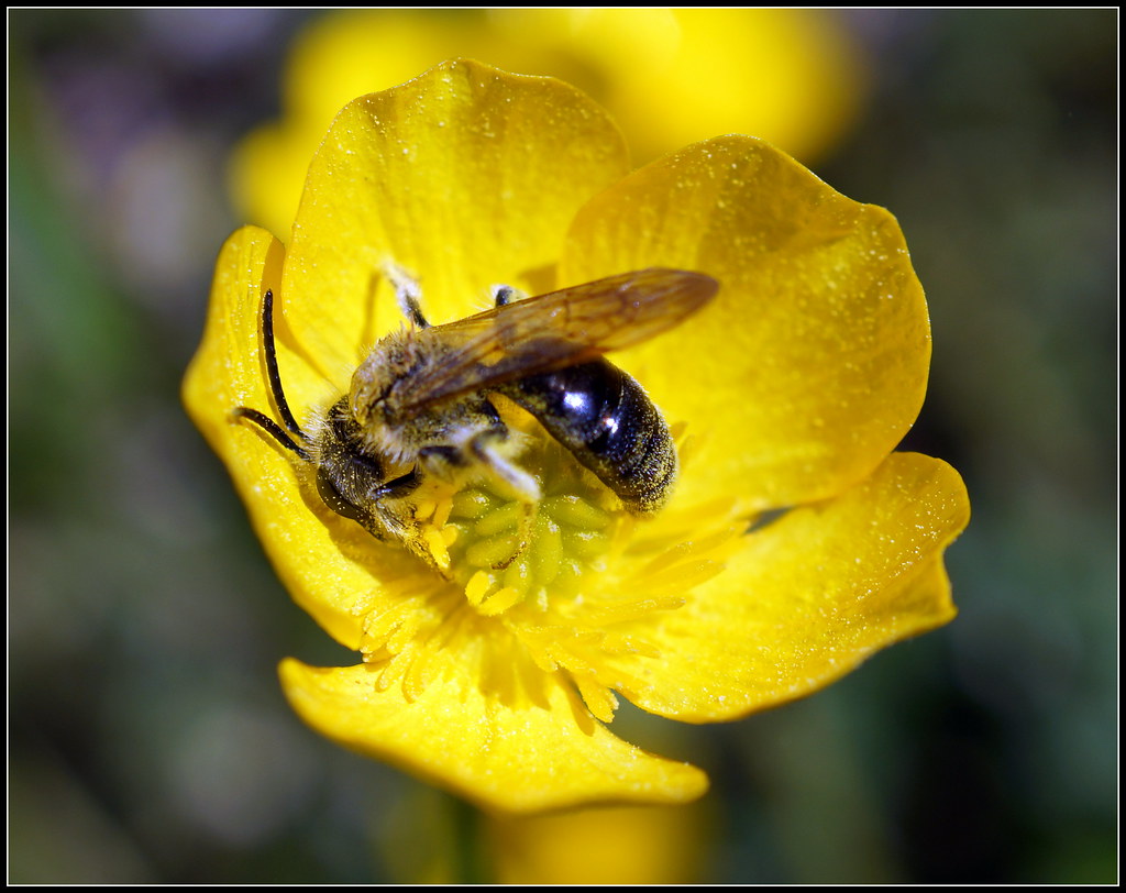
Bee on Buttercup flower

Bumble Bee on Flower
Honeybee with a Varroa Mite on its back

Bumble Bee on a Flower

Dan touring the A.T Byrum Peanut Farm Operation in Bertie County

Dan touring the A.T Byrum Peanut Farm Operation in Bertie County

Dan meeting with Bertie County buisness owners
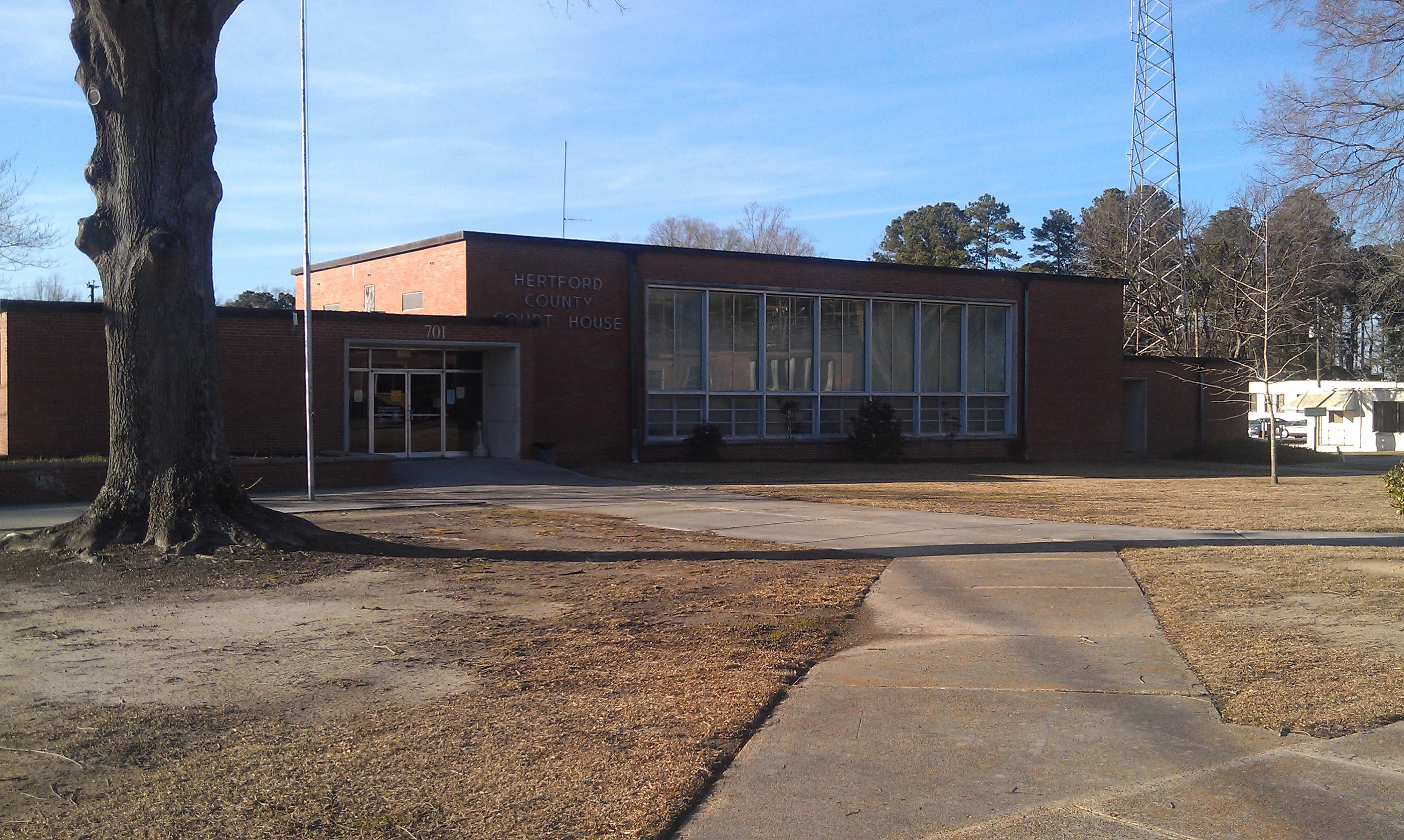
Hertford County Courthouse- Winton NC (1)
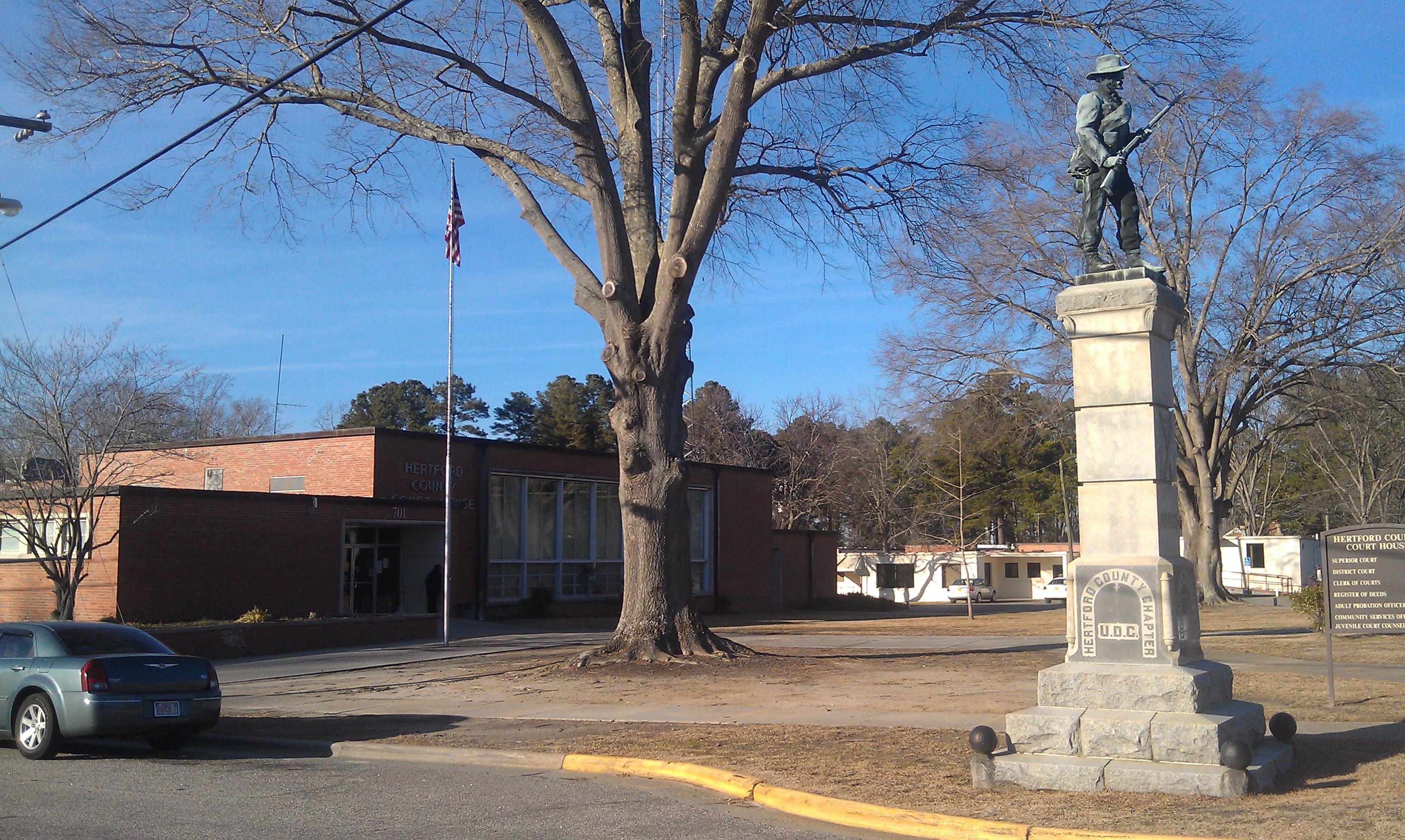
Hertford County Courthouse- Winton NC (2)
Topographic Map of Hares Mill Rd, Cofield, NC, USA
Find elevation by address:

Places near Hares Mill Rd, Cofield, NC, USA:
Tunis Road
Winton
Cofield
Ahoskie-Cofield Rd, Ahoskie, NC, USA
253 Willoughby Rd
Brinkleyville Rd, Ahoskie, NC, USA
Cofield, NC, USA
Ahoskie
243 Wiccacon Rd
Tomahawk Motel
Ahoskie
620 Church St W
Harrellsville
Harrellsville
Powellsville
Powellsville Town Hall
319 Pawnee Rd
204b Joyner Rd
2606b Nc-45
98 Bandon Rd, Edenton, NC, USA
Recent Searches:
- Elevation of 7 Waterfall Way, Tomball, TX, USA
- Elevation of SW 57th Ave, Portland, OR, USA
- Elevation of Crocker Dr, Vacaville, CA, USA
- Elevation of Pu Ngaol Community Meeting Hall, HWHM+3X7, Krong Saen Monourom, Cambodia
- Elevation of Royal Ontario Museum, Queens Park, Toronto, ON M5S 2C6, Canada
- Elevation of Groblershoop, South Africa
- Elevation of Power Generation Enterprises | Industrial Diesel Generators, Oak Ave, Canyon Country, CA, USA
- Elevation of Chesaw Rd, Oroville, WA, USA
- Elevation of N, Mt Pleasant, UT, USA
- Elevation of 6 Rue Jules Ferry, Beausoleil, France