Elevation of Harbottle, Morpeth NE65, UK
Location: United Kingdom > England > Northumberland >
Longitude: -2.106331
Latitude: 55.336814
Elevation: 161m / 528feet
Barometric Pressure: 99KPa
Elevation Map:
Satellite Map:
Related Photos:

Cheviot light and shade

REAVELEYHILL I
A DARK DAY IN THE CHEVIOTS
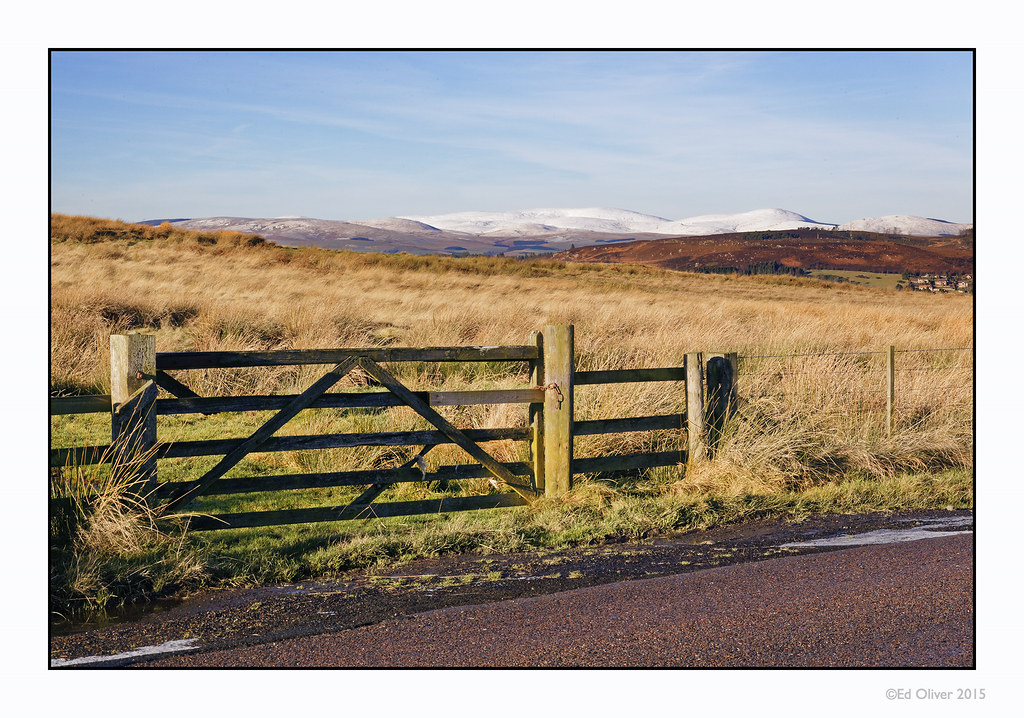
UPPER COQUETDALE

Circle of white

The Pennine way 134.
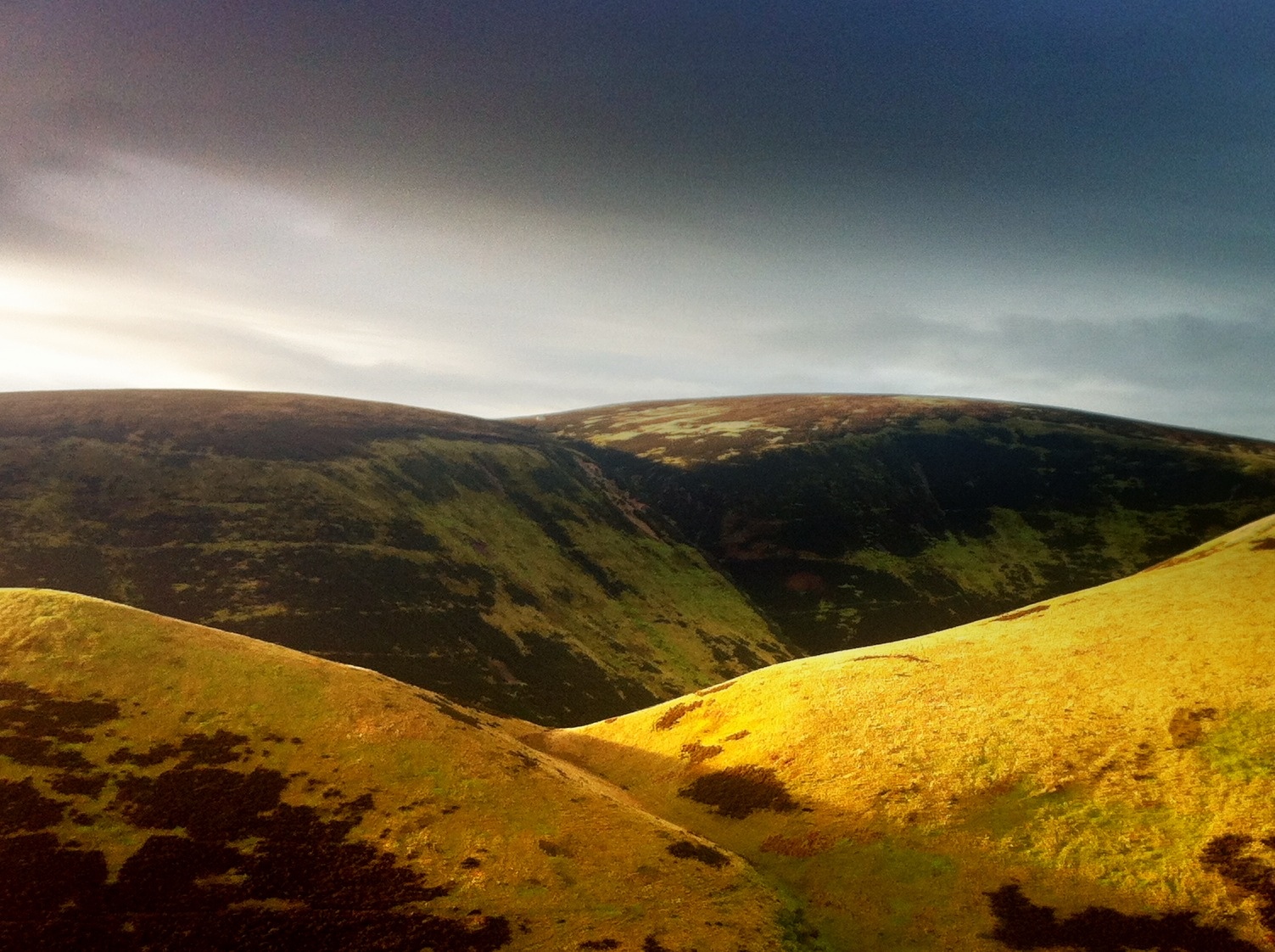
Eight Minutes After Dawn
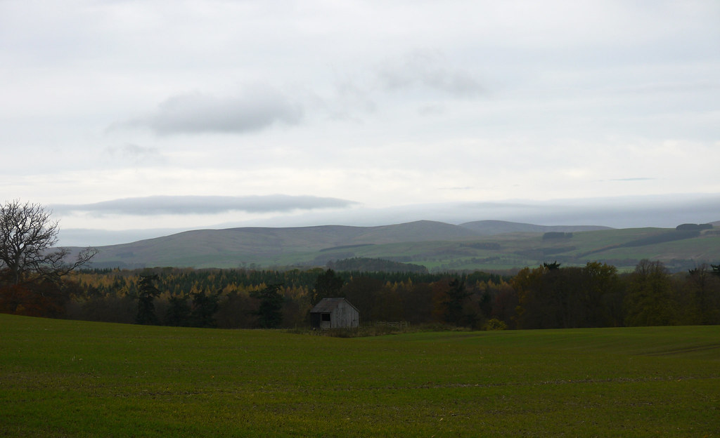
The Shed In The Field
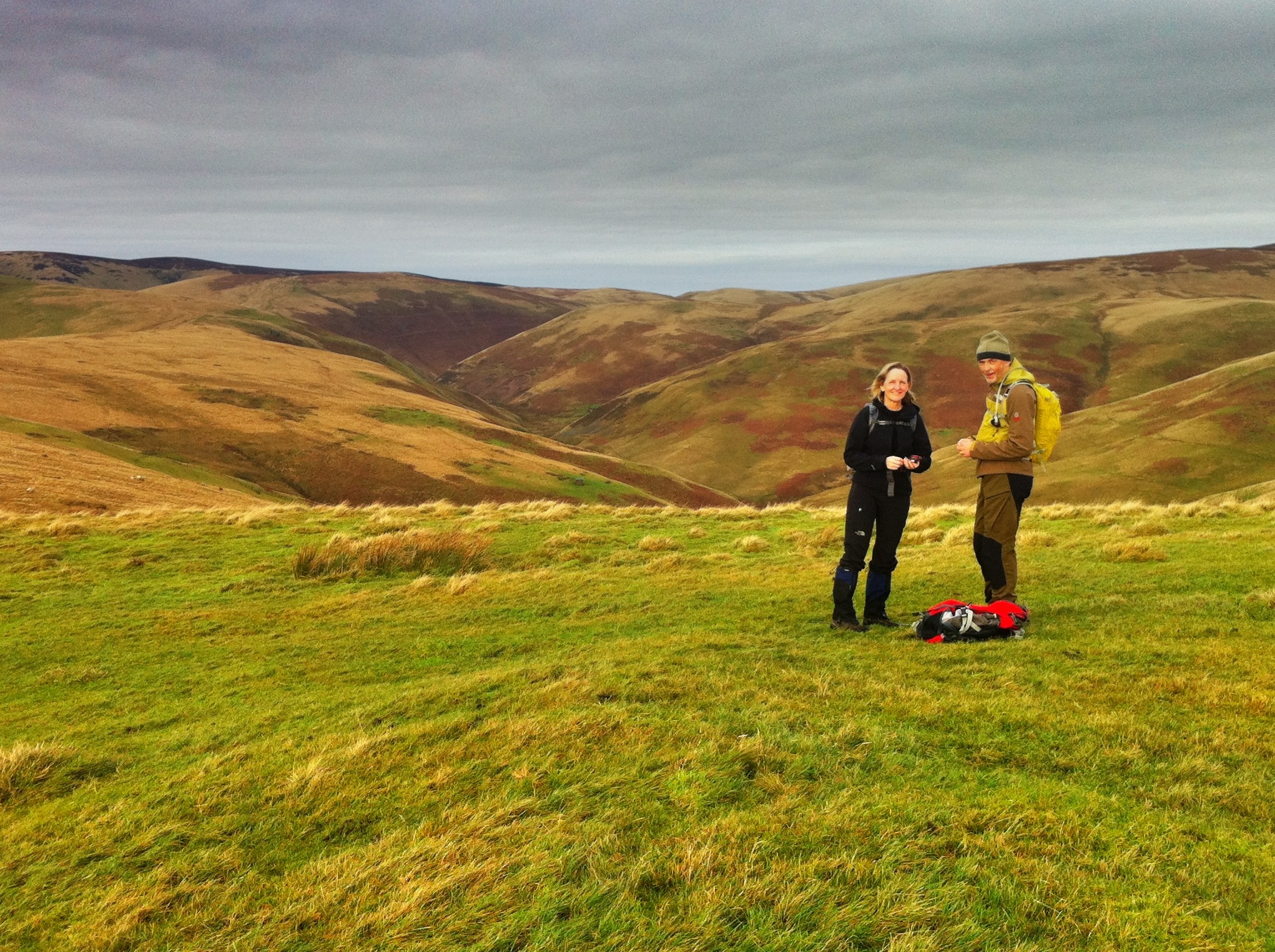
A walk in the Cheviots.
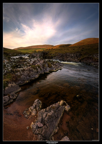
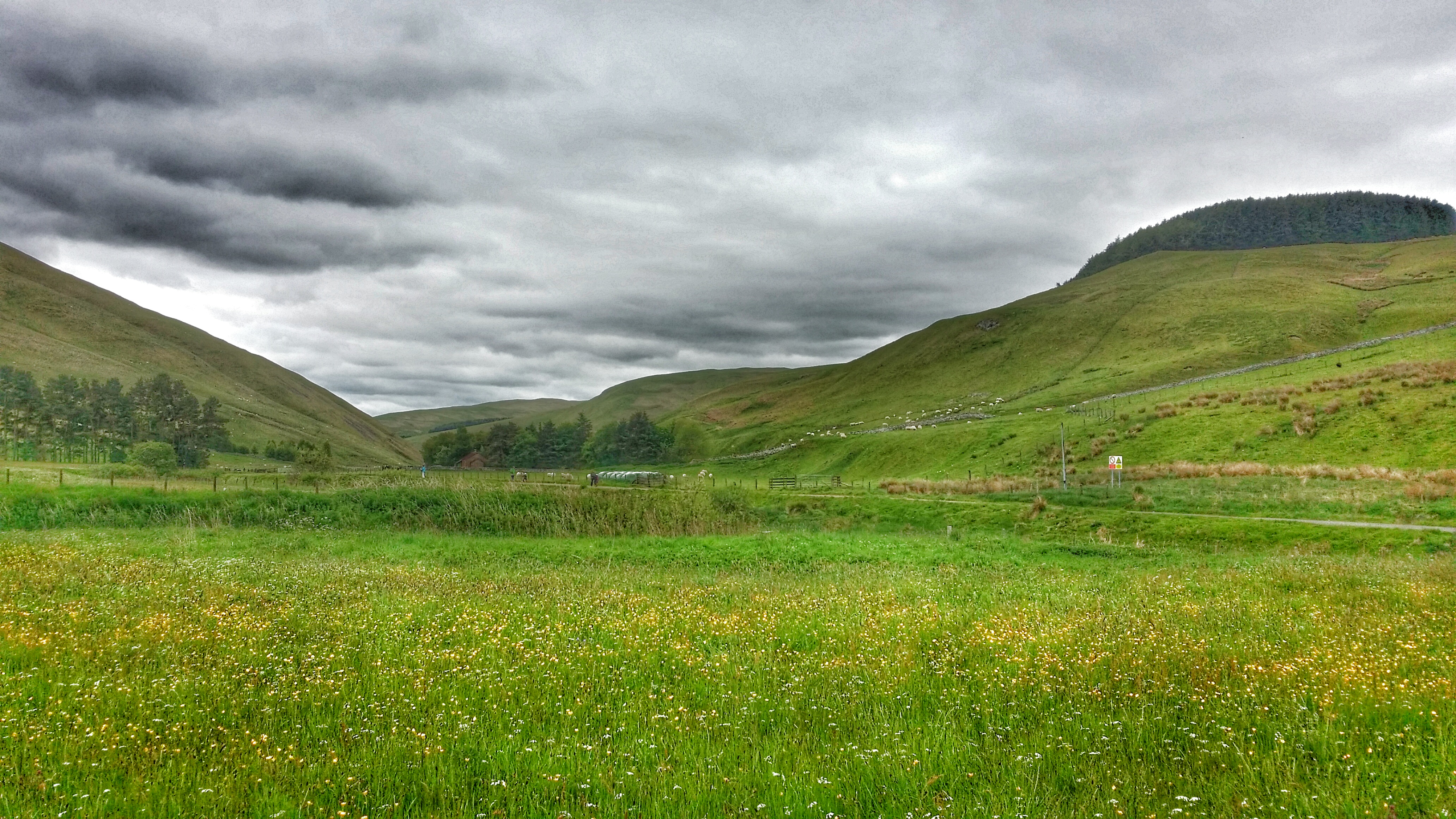
UPPER COQUETDALE
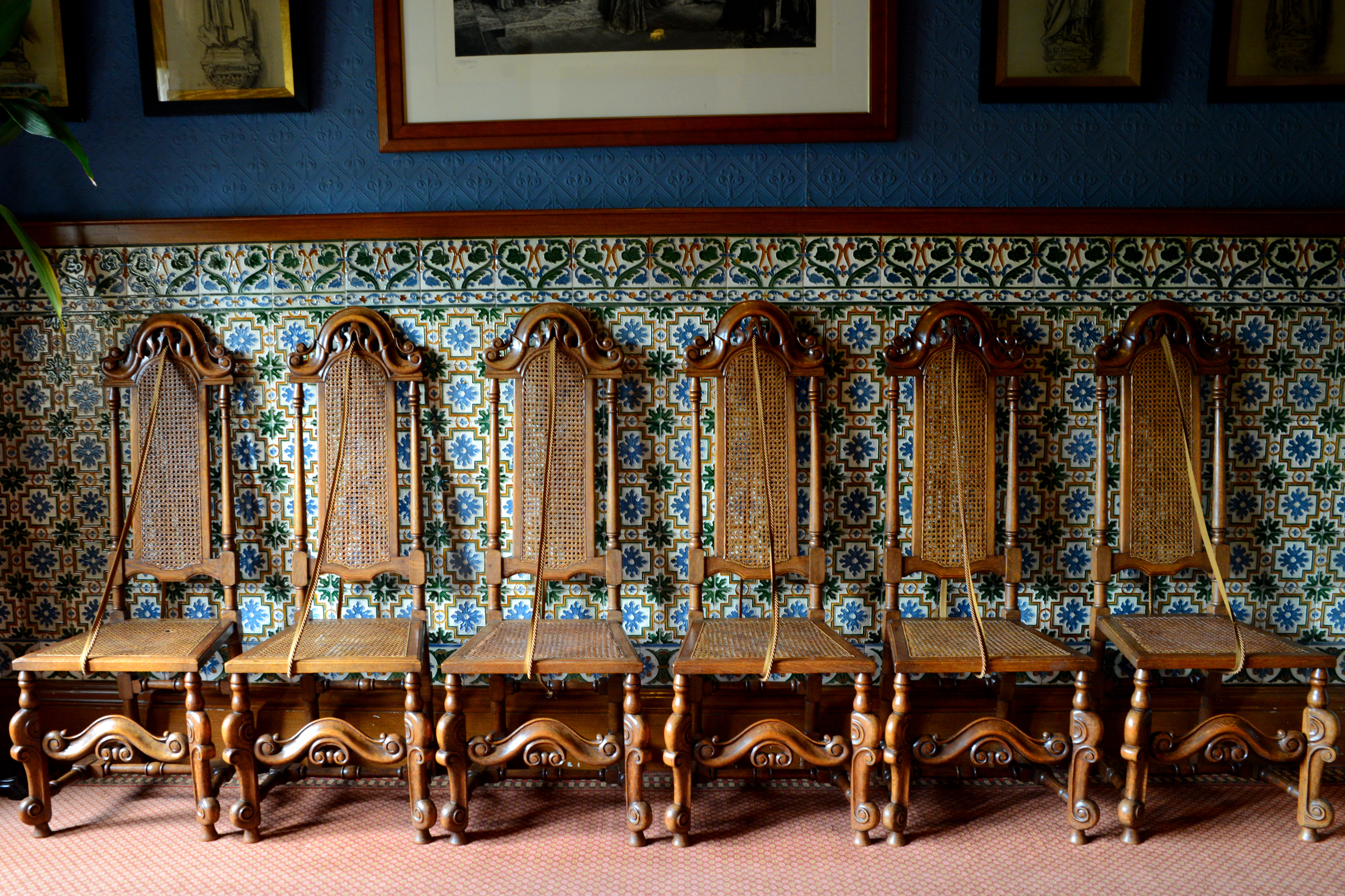
The elegant waiting room
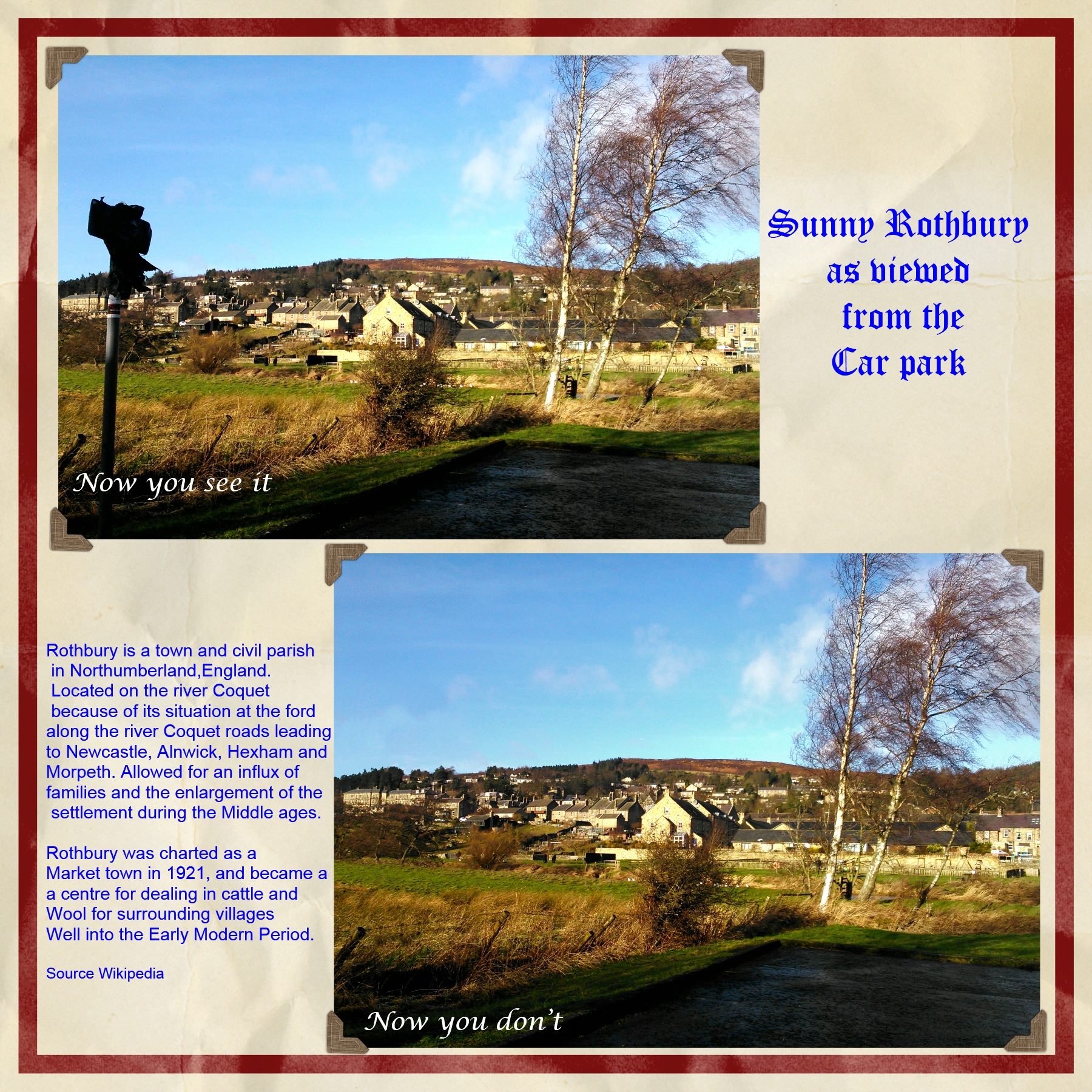
Sunny Rothbury from the car park
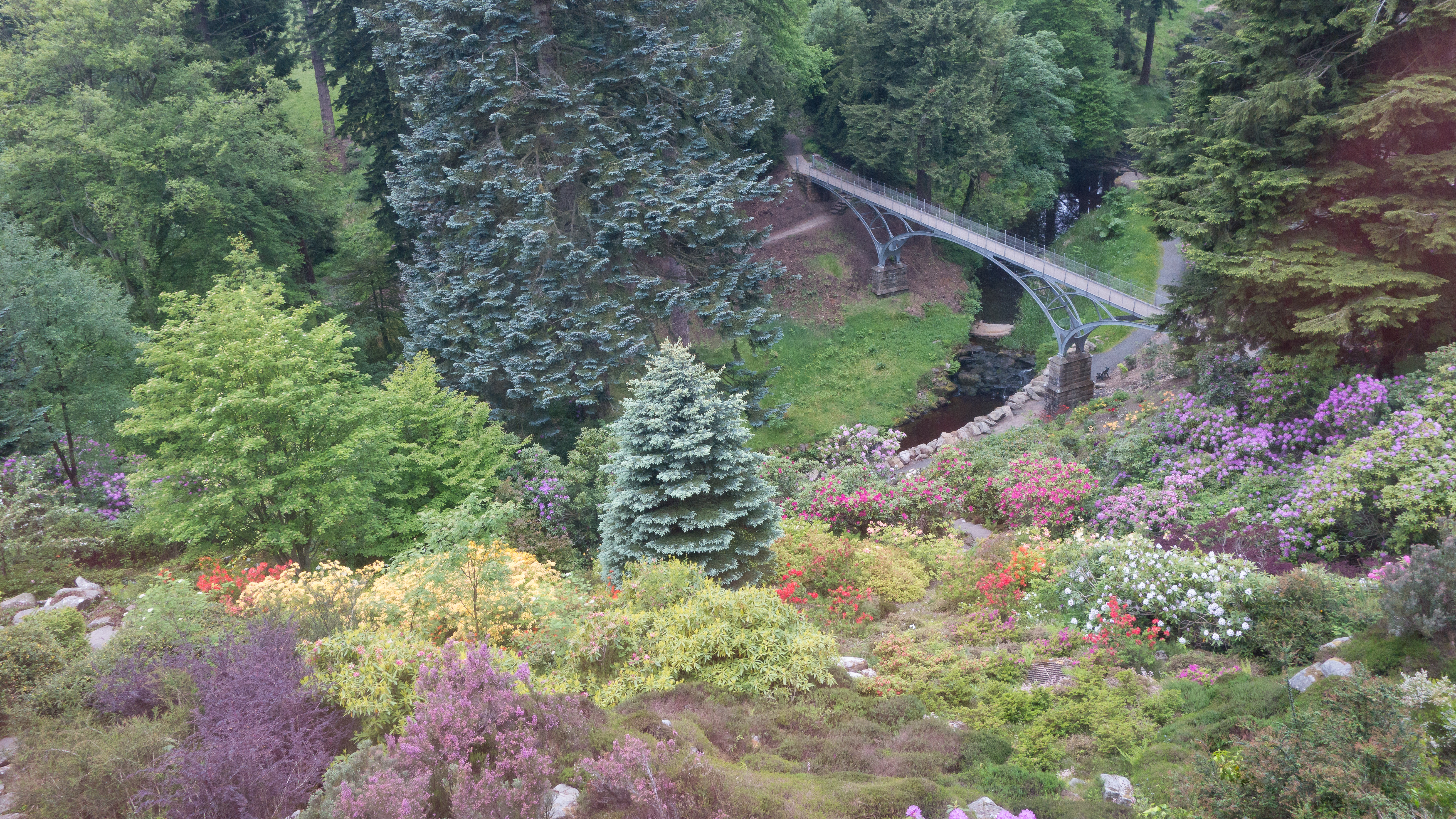
Cragside Iron Bridge

Down 0n The Riverbank
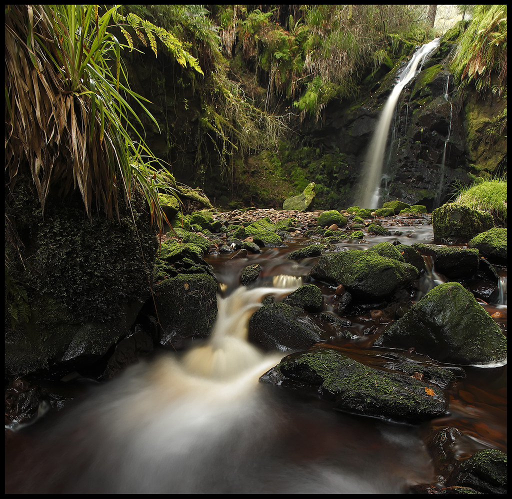
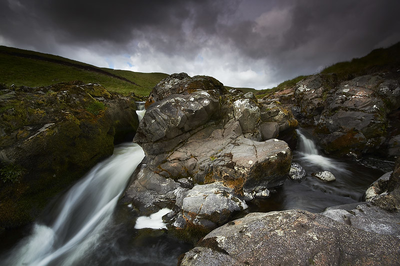
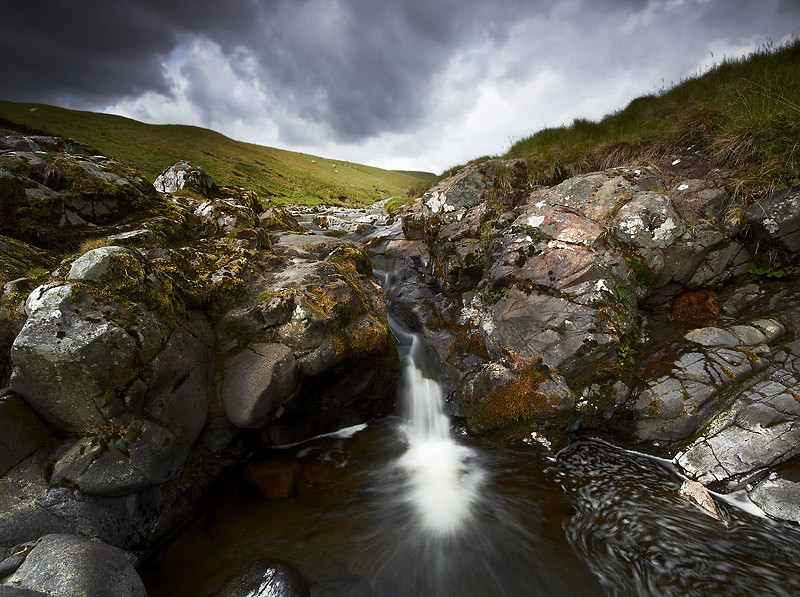
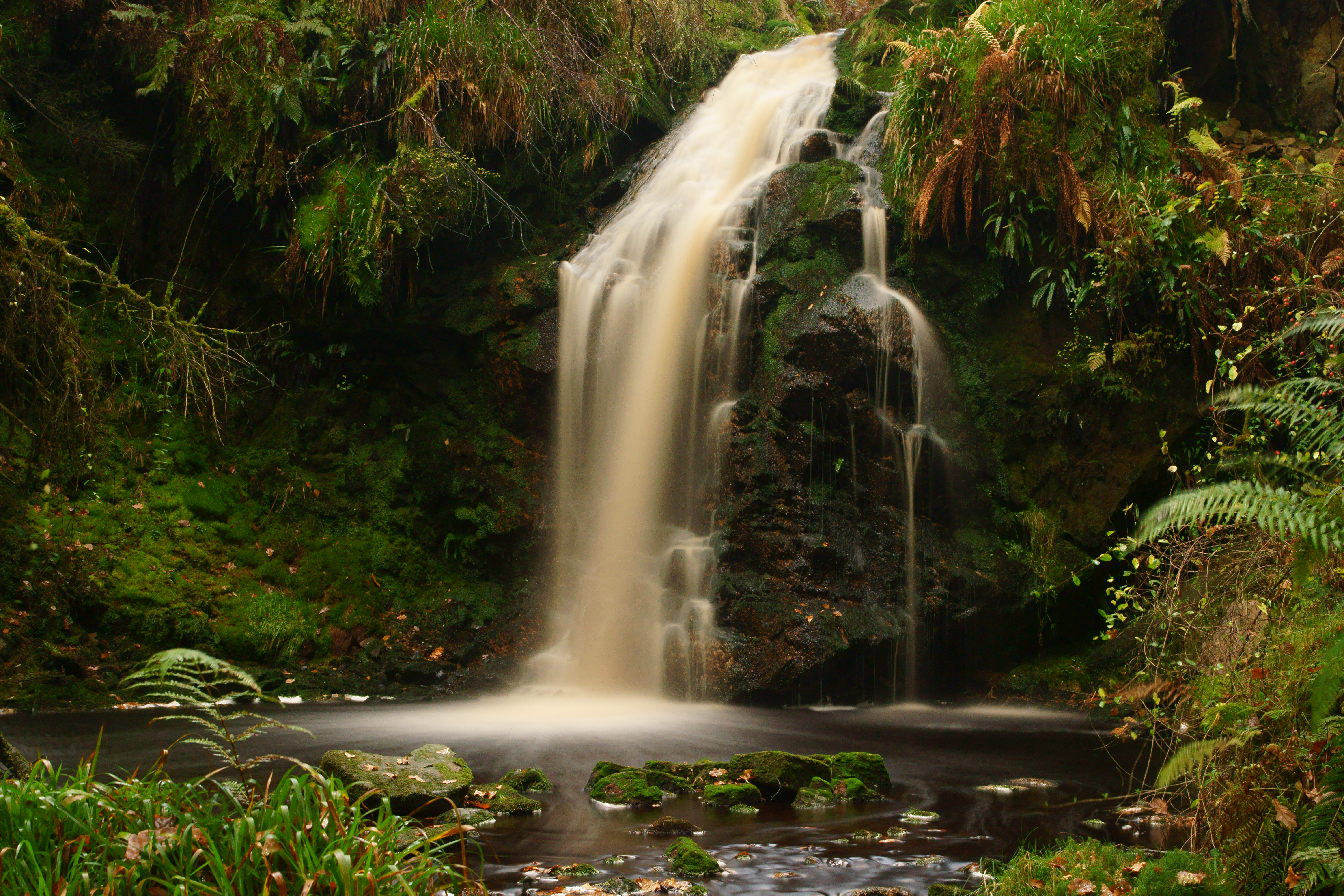
Hindhope Linn

Forest Flow
Border drive

Fungus Post

Honey Bee

View to the south
18h18'01'' K554 - View of mist
To The Hills

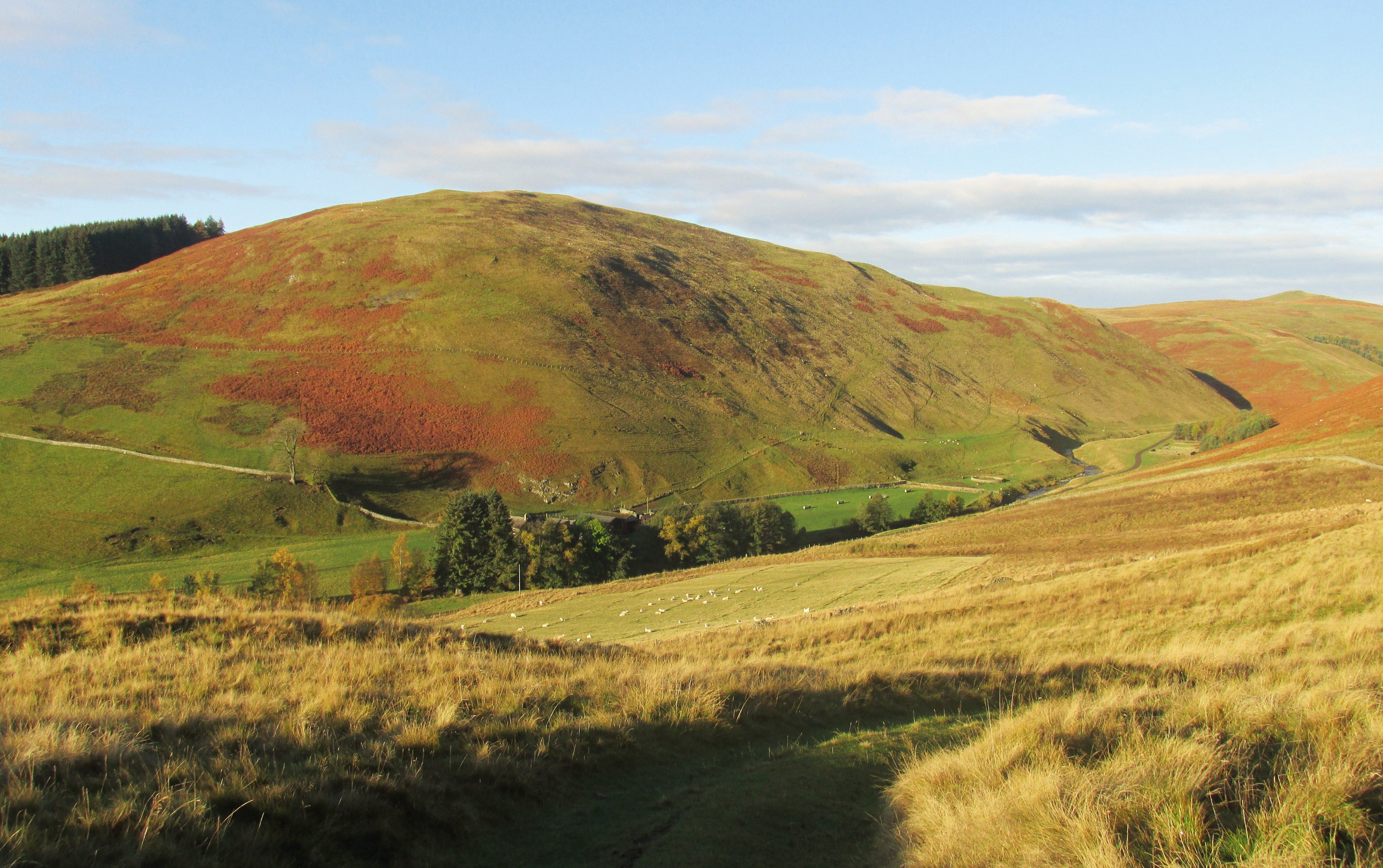
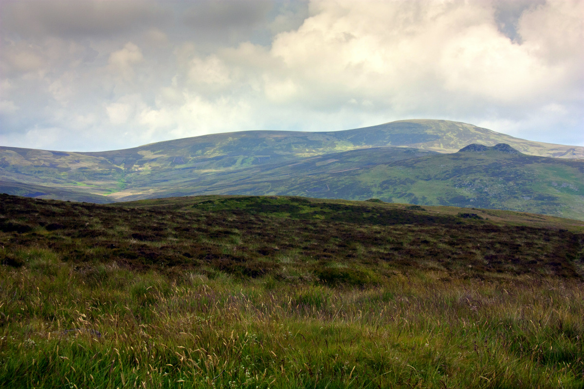
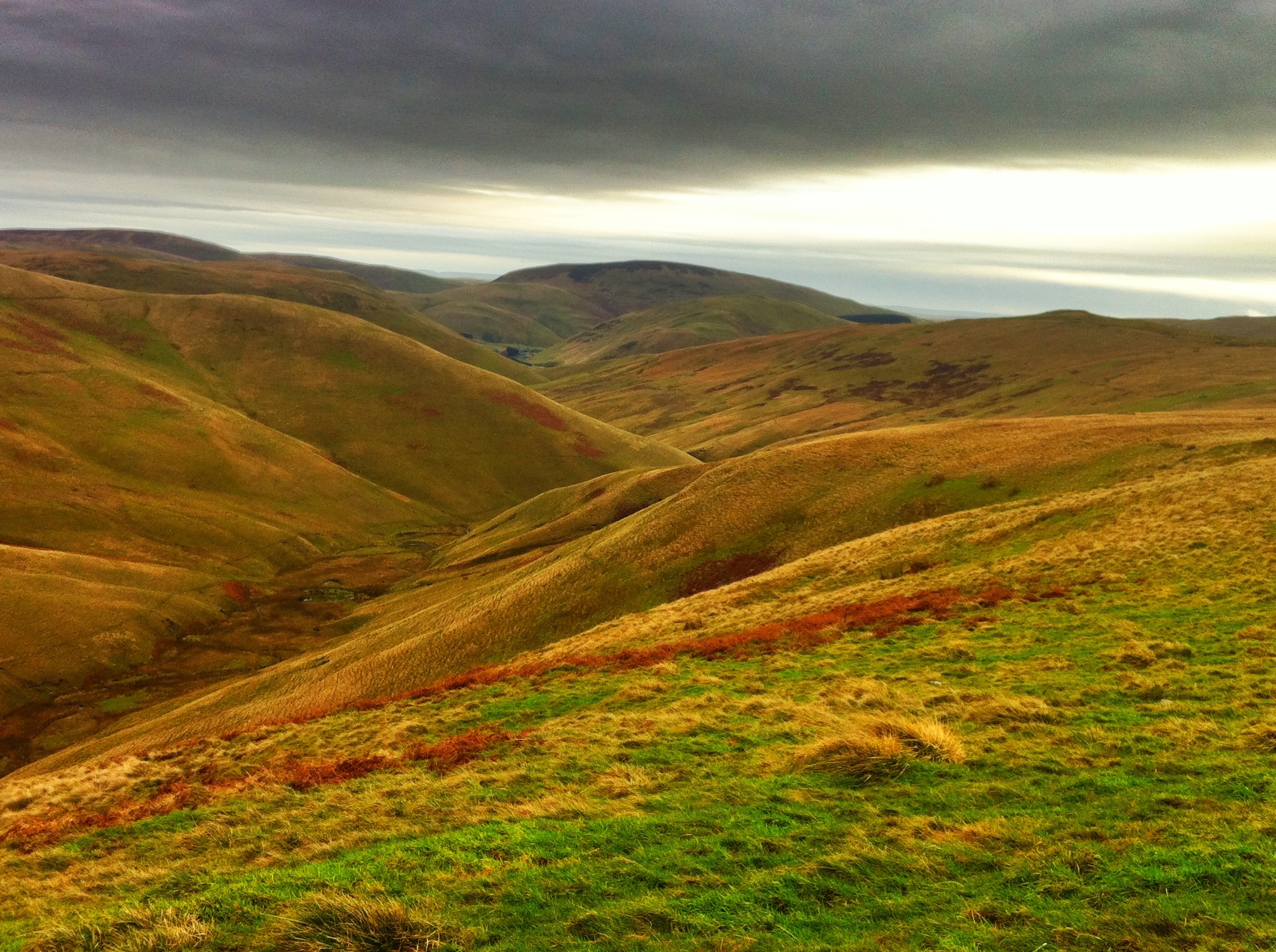
Barren border hills.
To Linger And Unwind
Windy Gchyle Dec 2011
Alwin Valley and Red Road
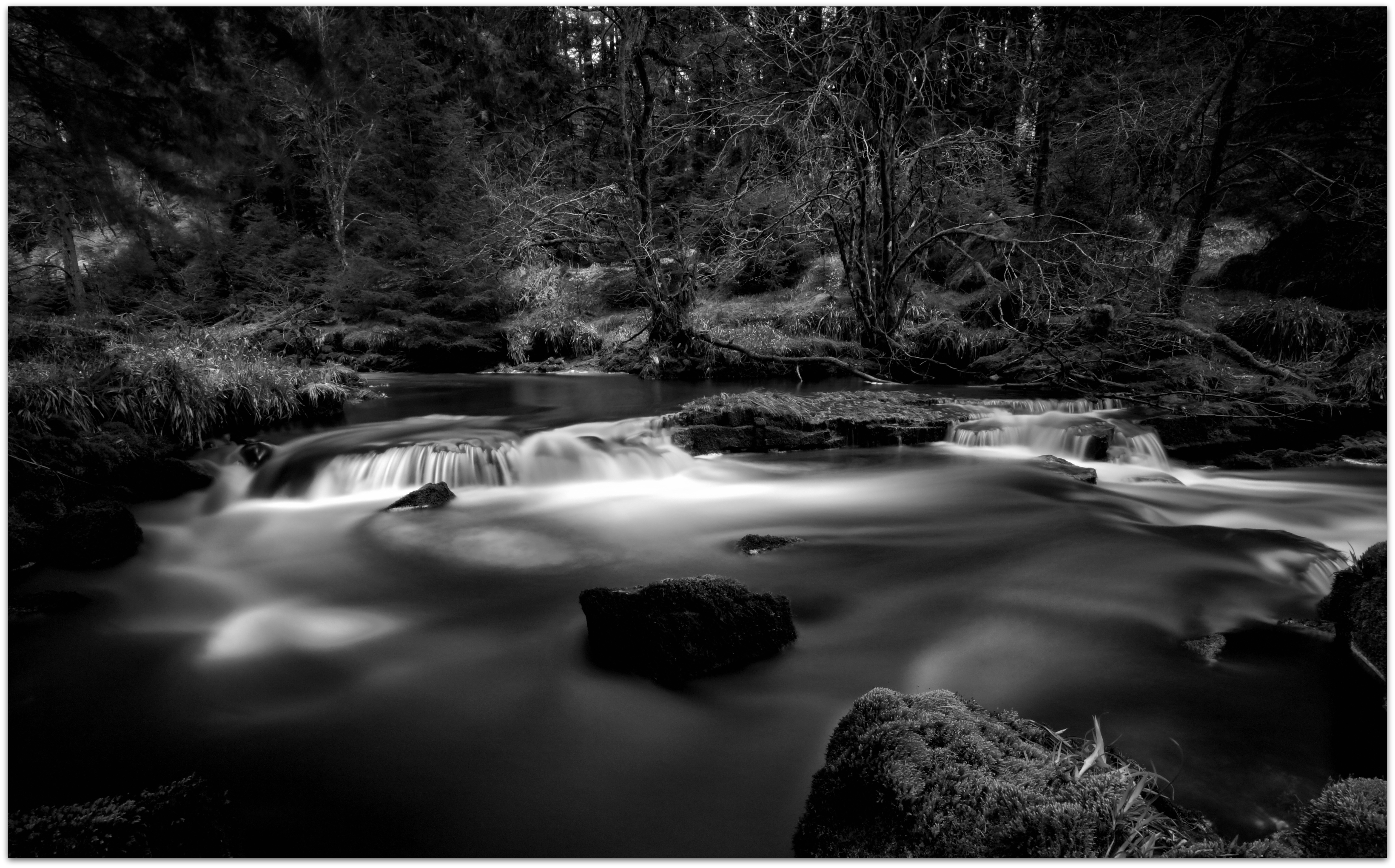
Hindhope Linn I
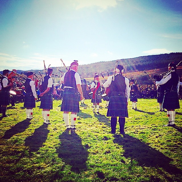
#bagpipes at the #alwintonshow
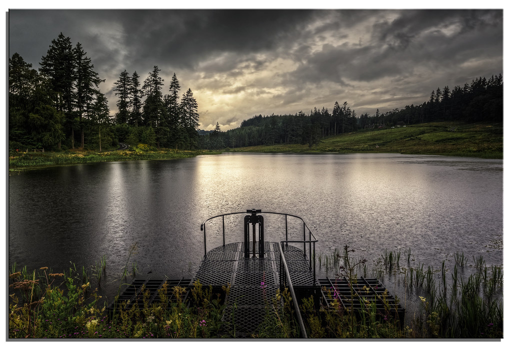
Rainy Tumbleton lake, Cragside

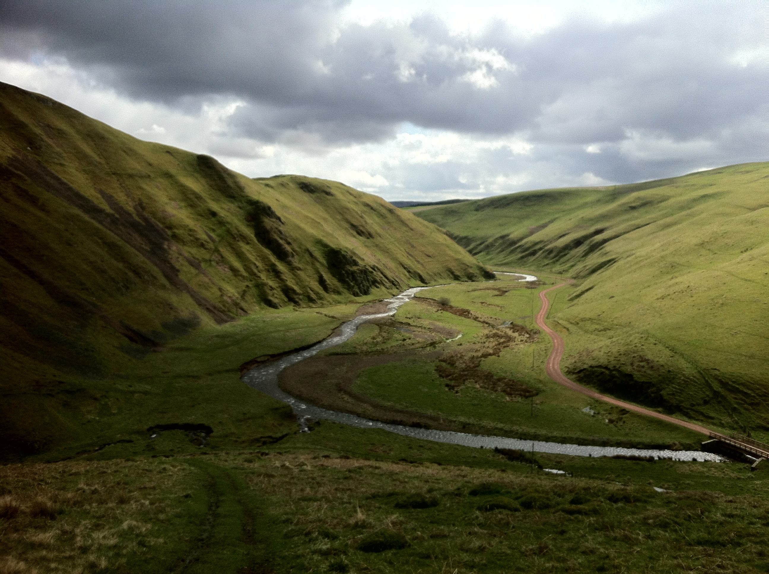
Coquet Valley

Border hills.
no-one
Clennell colossus
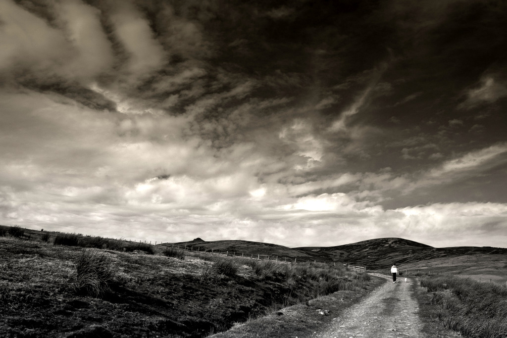
long walk for small dog
Windy Gchyle Dec 2011
Windy Gchyle Dec 2011
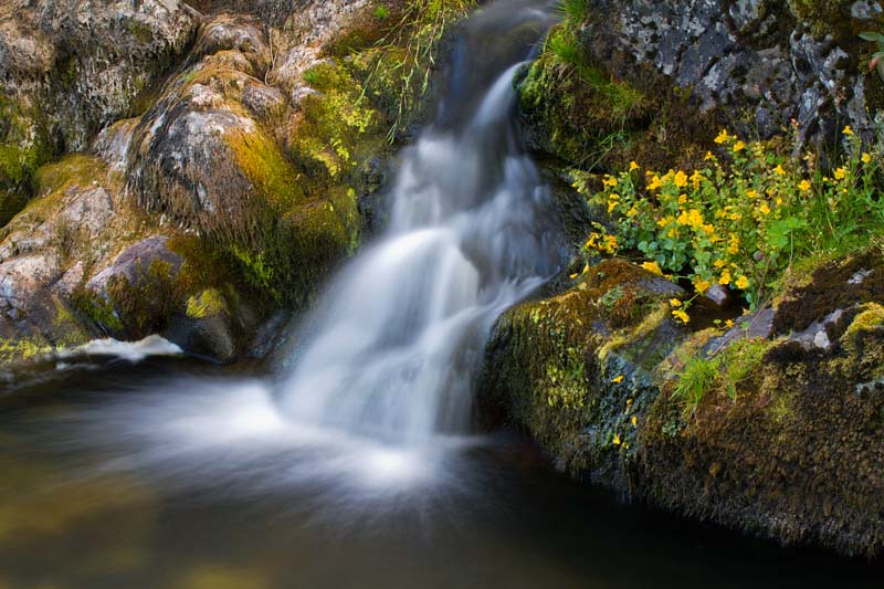
Mimulus Falls
Topographic Map of Harbottle, Morpeth NE65, UK
Find elevation by address:

Places in Harbottle, Morpeth NE65, UK:
2 Bygate Hall Cottages, Harbottle, Morpeth NE65 7BW, UK
1 Harbottle, Morpeth NE65 7DD, UK
2 Linbriggs Cottages, Harbottle, Morpeth NE65 7BJ, UK
Places near Harbottle, Morpeth NE65, UK:
Alwinton
2 Gallow Law, Alwinton, Morpeth NE65 7BQ, UK
Holystone
1 Holystone Grange Cottages, Holystone, Morpeth NE65 7AN, UK
2 Linbriggs Cottages, Harbottle, Morpeth NE65 7BJ, UK
Elsdon
2 Bygate Hall Cottages, Harbottle, Morpeth NE65 7BW, UK
East Nook
High Trewhitt
2 Monkridge Bridge, Otterburn, Newcastle upon Tyne NE19 1ND, UK
Otterburn
2 Prendwick Cottages, Whittingham, Alnwick NE66 4UZ, UK
Northumberland
1 Ryehill Cottages, Thropton, Morpeth NE65 7NG, UK
1 Yetlington Farm Cottages, Whittingham, Alnwick NE66 4TG, UK
Langleeford
Thropton
4 Lorbottle Cottages, Thropton, Morpeth NE65 7JS, UK
1 Harbottle, Morpeth NE65 7DD, UK
Lorbottle Hall Lodge
Recent Searches:
- Elevation of Elwyn Dr, Roanoke Rapids, NC, USA
- Elevation of Congressional Dr, Stevensville, MD, USA
- Elevation of Bellview Rd, McLean, VA, USA
- Elevation of Stage Island Rd, Chatham, MA, USA
- Elevation of Shibuya Scramble Crossing, 21 Udagawacho, Shibuya City, Tokyo -, Japan
- Elevation of Jadagoniai, Kaunas District Municipality, Lithuania
- Elevation of Pagonija rock, Kranto 7-oji g. 8"N, Kaunas, Lithuania
- Elevation of Co Rd 87, Jamestown, CO, USA
- Elevation of Tenjo, Cundinamarca, Colombia
- Elevation of Côte-des-Neiges, Montreal, QC H4A 3J6, Canada