Elevation of Happy Valley Saddle, Vail, AZ, United States
Location: United States > Arizona > Pima County > Benson >
Longitude: -110.51232
Latitude: 32.160849
Elevation: 1735m / 5692feet
Barometric Pressure: 82KPa
Elevation Map:
Satellite Map:
Related Photos:
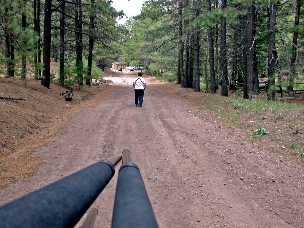
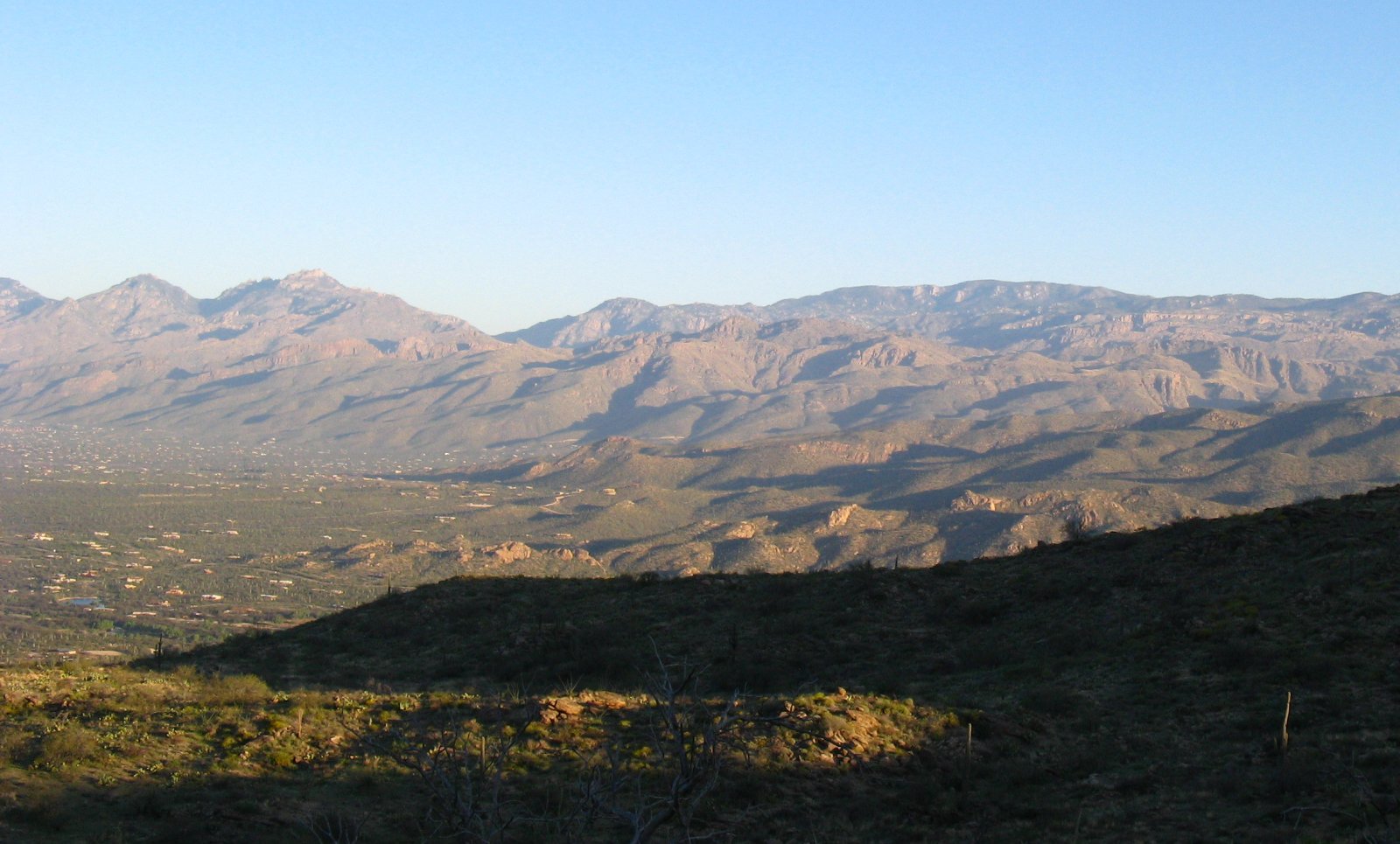
Birder's trail point of view
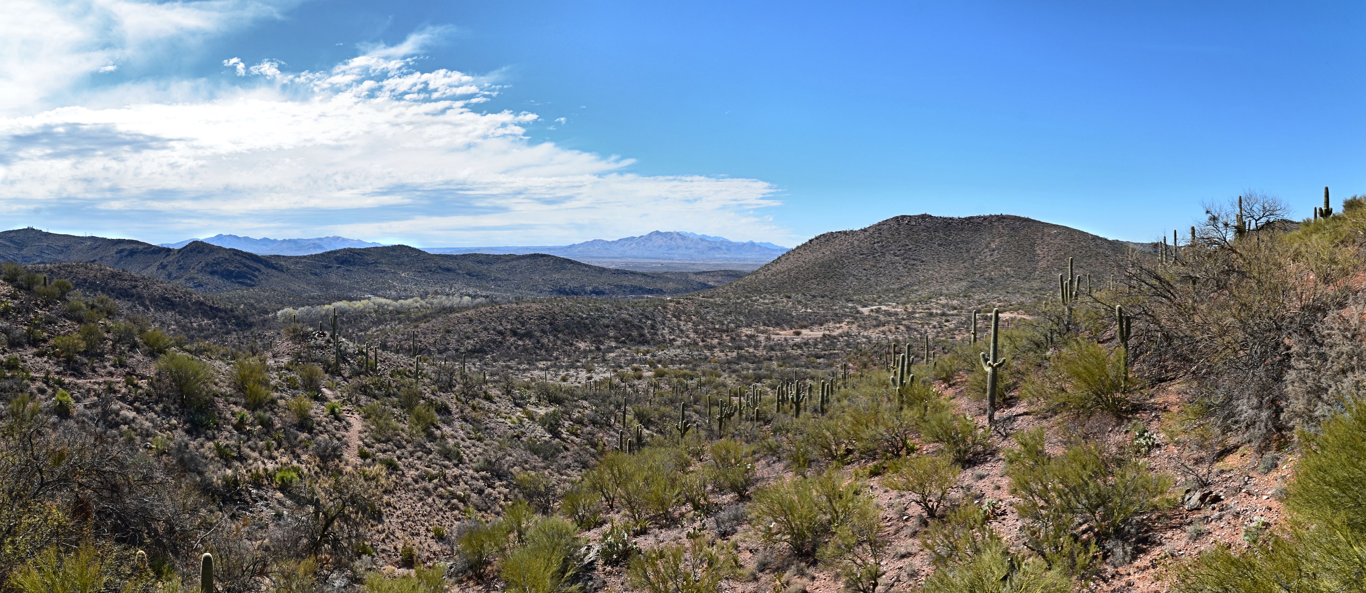
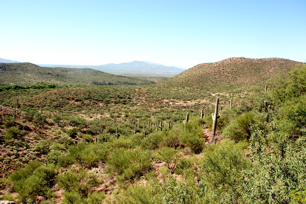
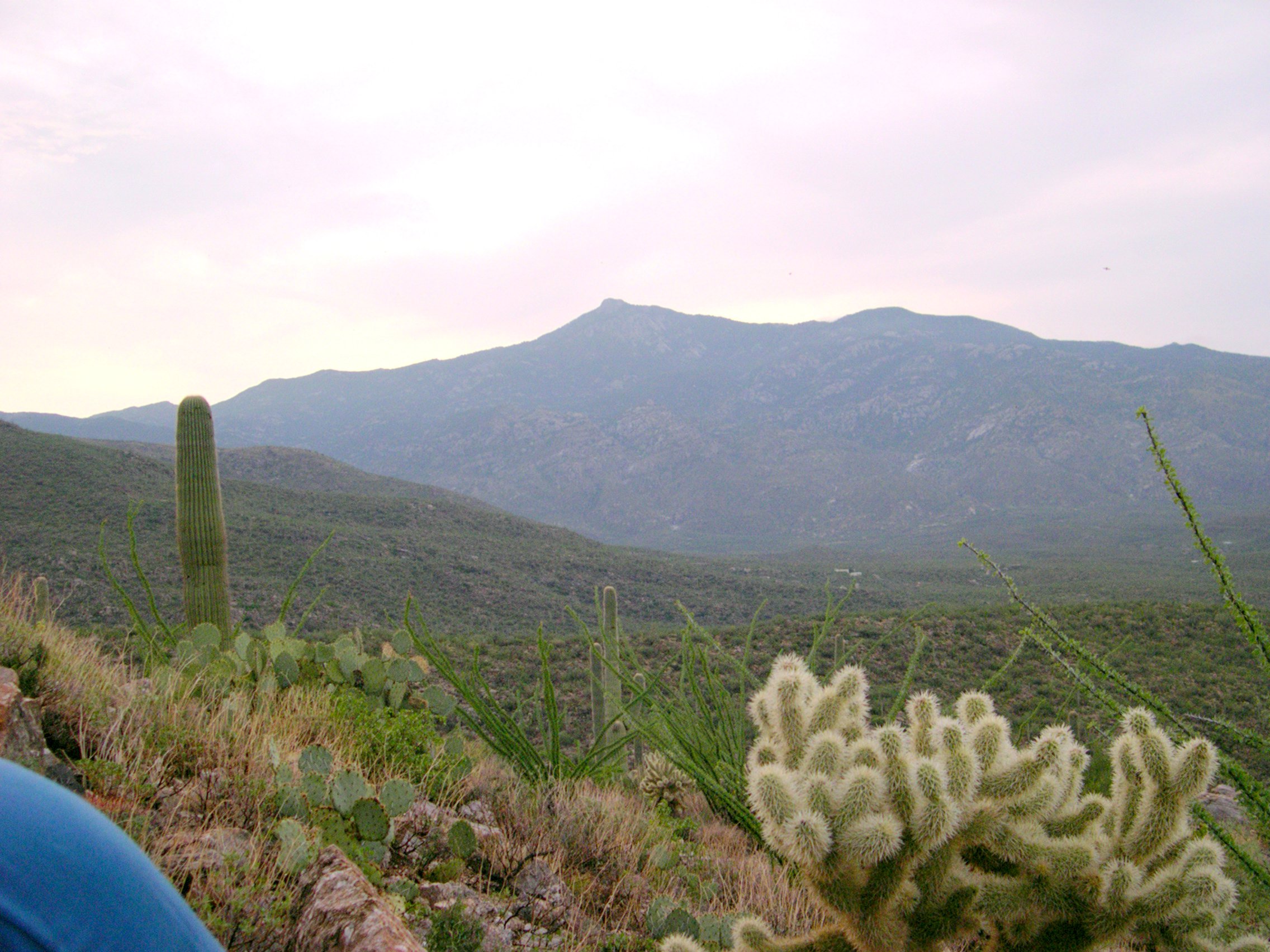
Rincon Peak of Saguaro National Park, viewed from the valley, Arizona
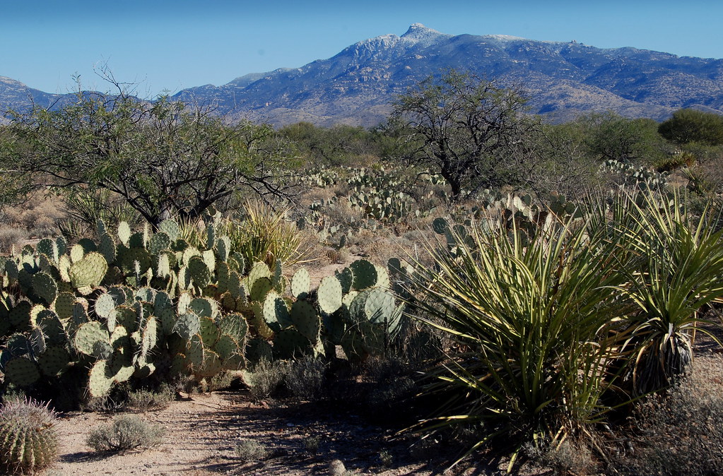
Colossal Cave Mountain Park View
Colossal Cave View
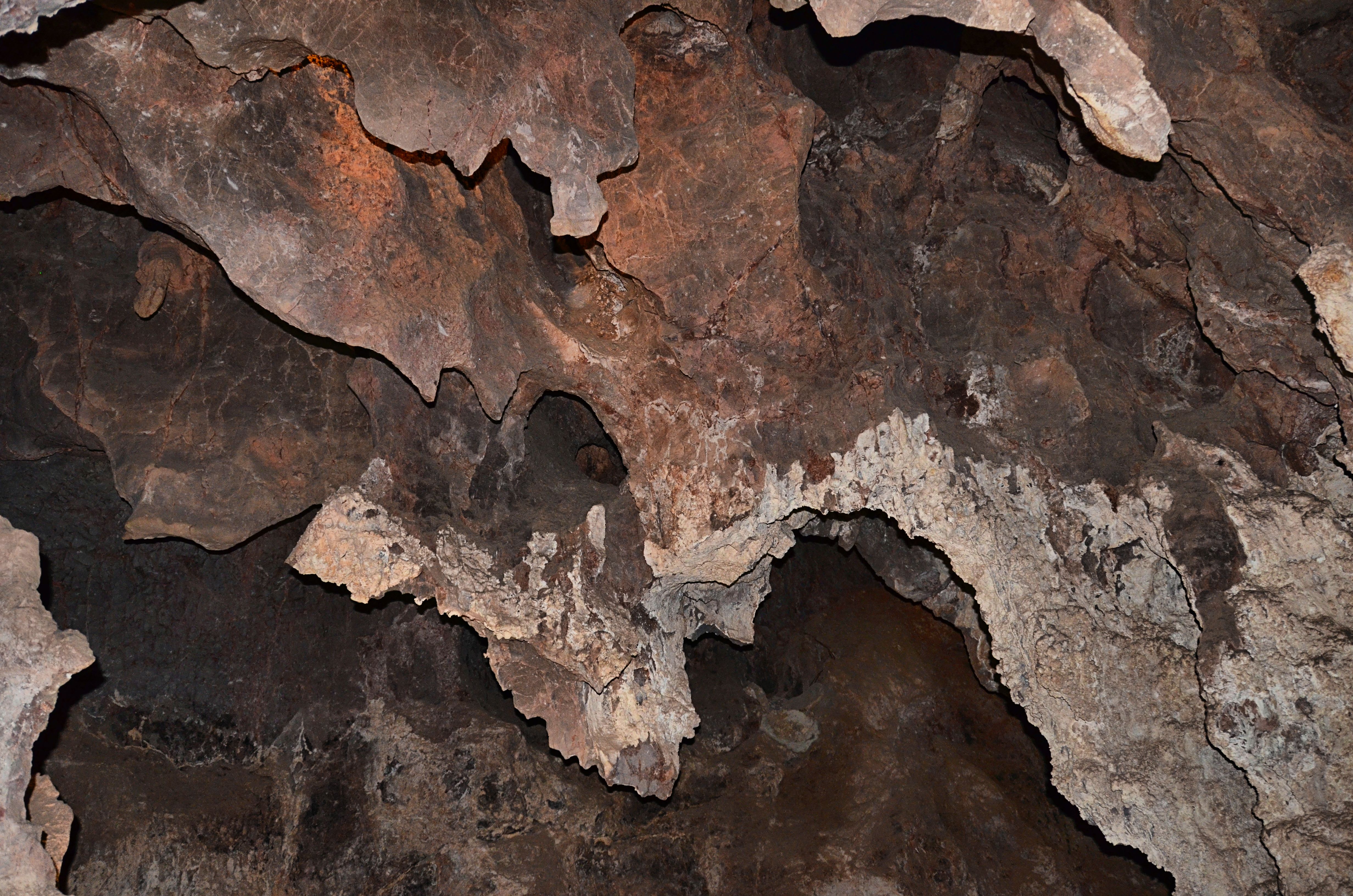
Colossal Cave View
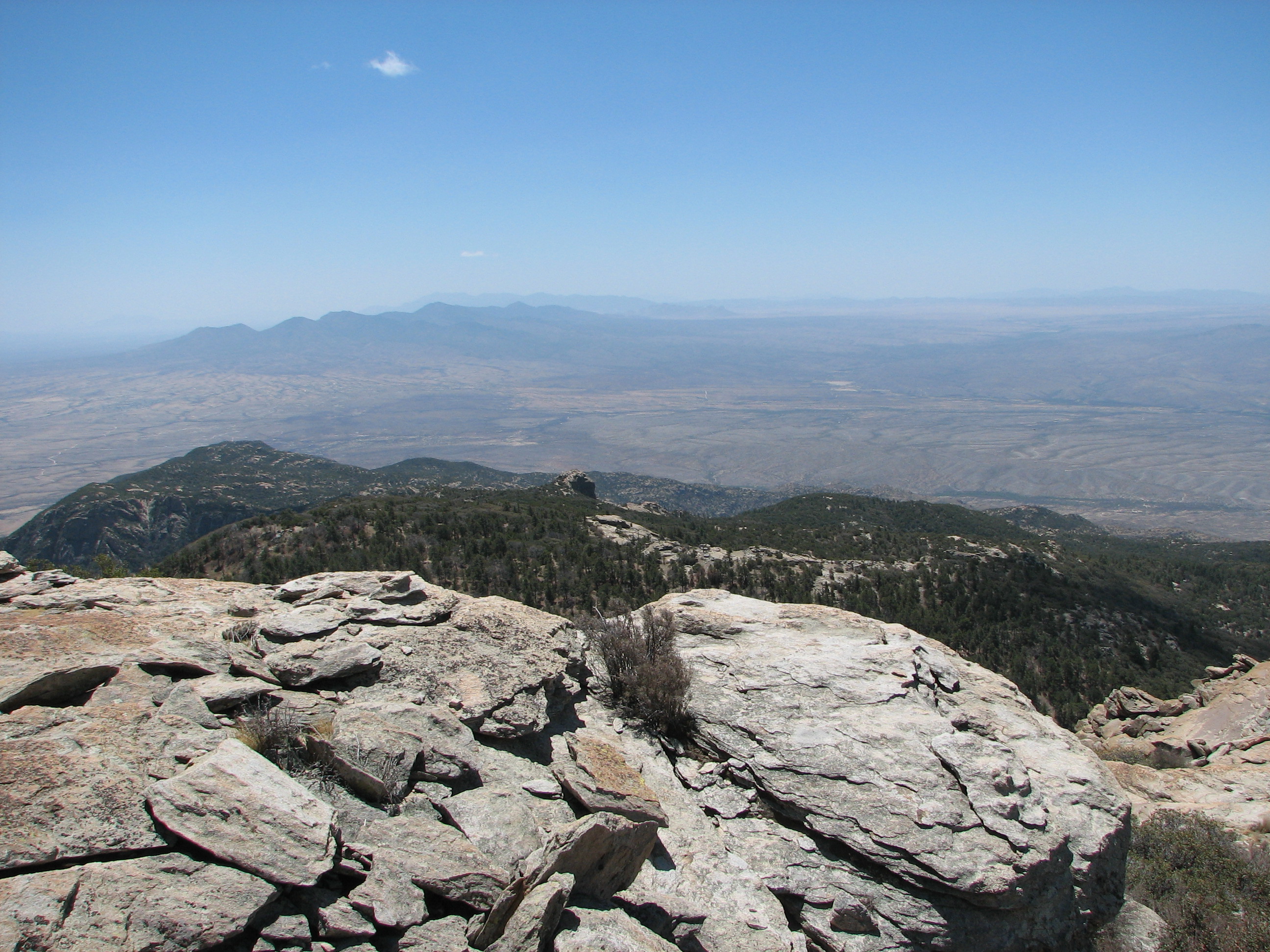
Rincon Peak View 3
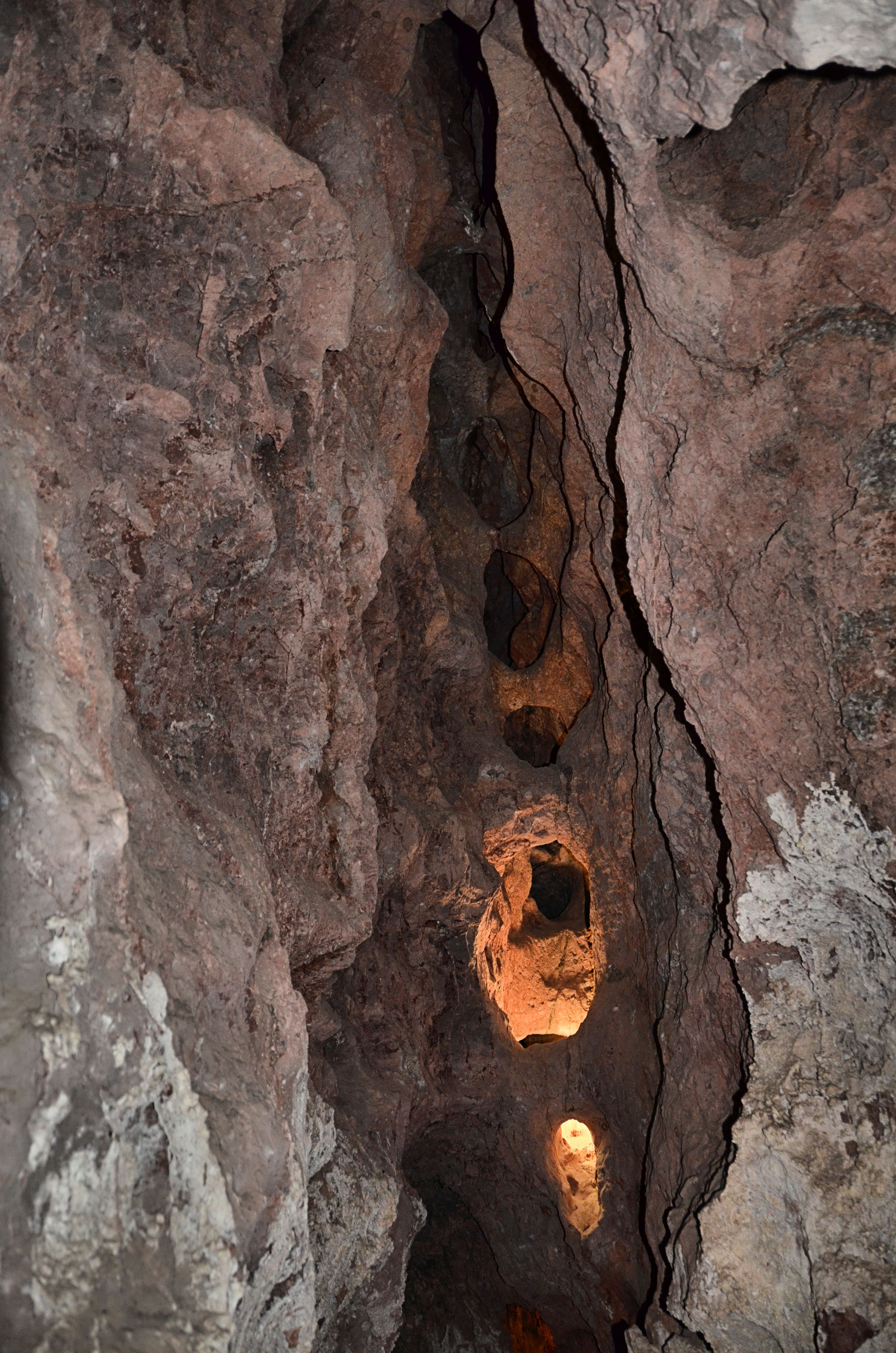
View from Colossal Cave
View from Colossal Cave
IMG_3814.JPG
SCASNPSummer'06
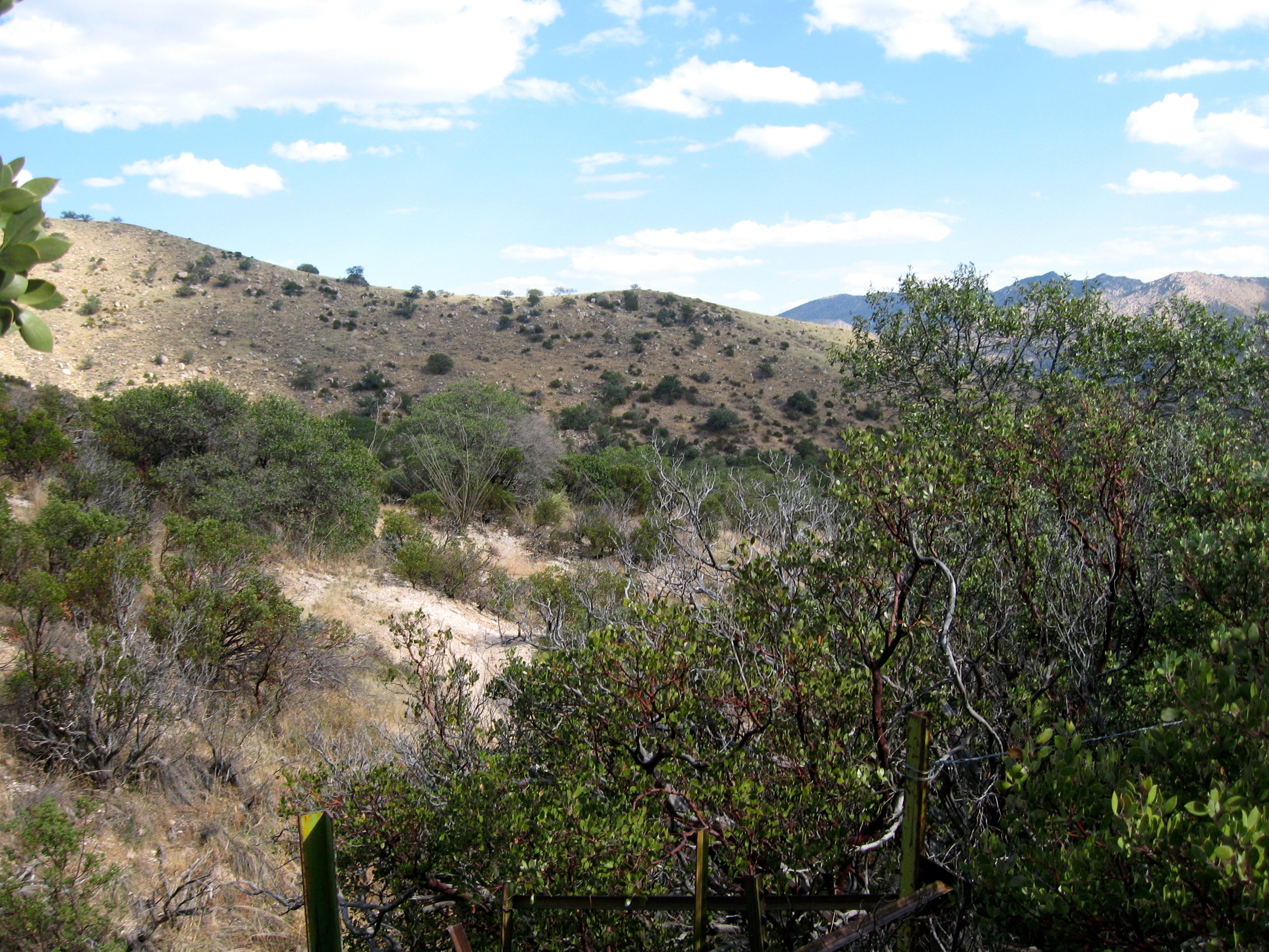
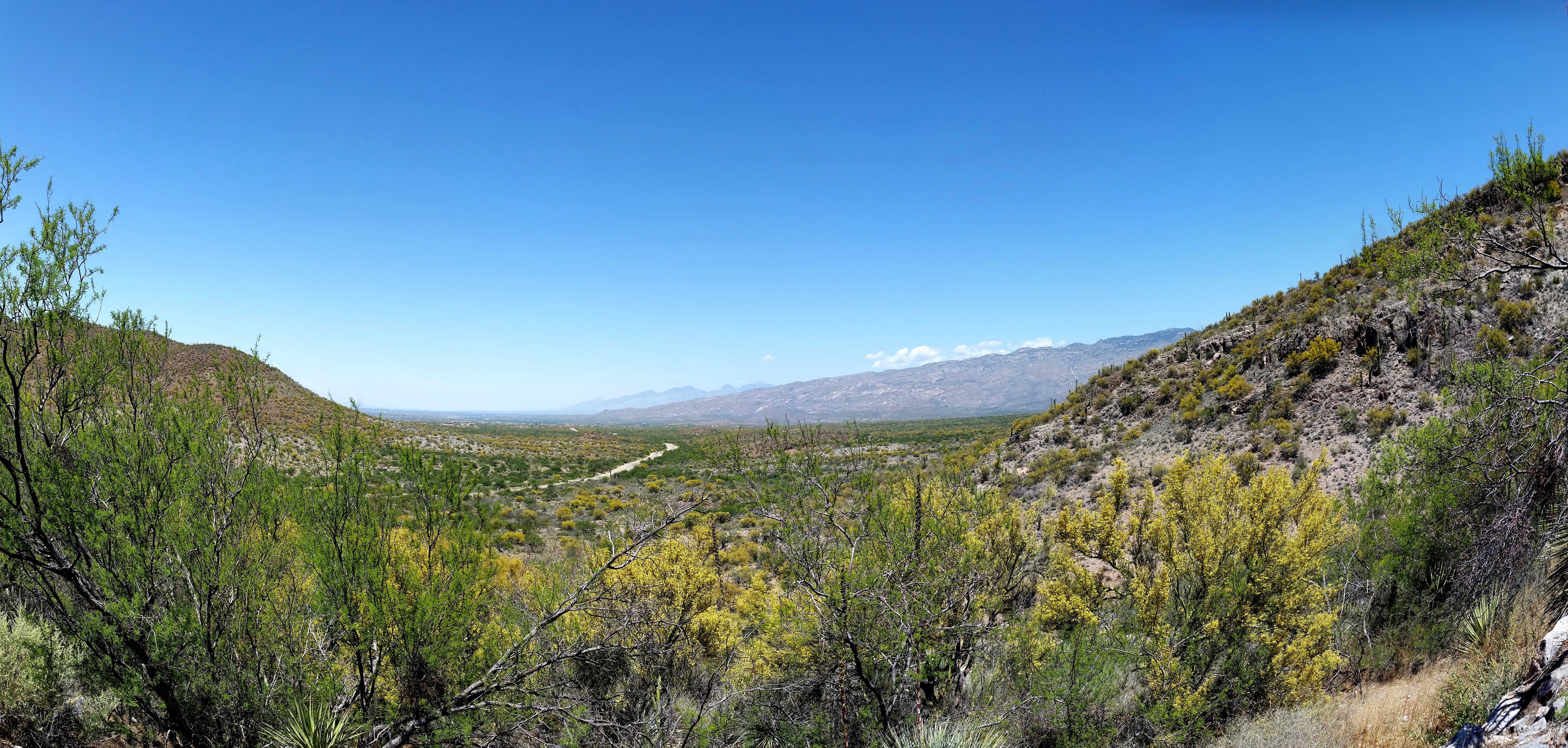
Down Miller Creek
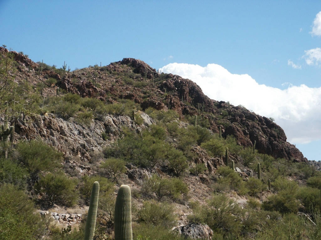
Colossal Cave - Outside with Cactus
Topographic Map of Happy Valley Saddle, Vail, AZ, United States
Find elevation by address:

Places near Happy Valley Saddle, Vail, AZ, United States:
Rincon Peak
5901 High Valley Rd
6355 S Upper Valley Rd
East Cactus Hill Road
6200 S X9 Ranch Rd
7120 S Red Hill Rd
7171 S X9 Ranch Rd
15505 E Rincon Creek Ranch Rd
20083 E Skylar Way
Colossal Cave Mountain Park
15390 E Rincon Creek Ranch Rd
8624 S Tumbling M Ranch Pl
8545 S Long Bar Ranch Pl
Coyote Creek
15151 E Two Bar Z Ranch Pl
7960 Cir C Ranch Rd
8015 Cir C Ranch Rd
Triangle L
8613 S Triangle O Ranch Pl
Estates At Old Spanish Trail
Recent Searches:
- Elevation of Corso Fratelli Cairoli, 35, Macerata MC, Italy
- Elevation of Tallevast Rd, Sarasota, FL, USA
- Elevation of 4th St E, Sonoma, CA, USA
- Elevation of Black Hollow Rd, Pennsdale, PA, USA
- Elevation of Oakland Ave, Williamsport, PA, USA
- Elevation of Pedrógão Grande, Portugal
- Elevation of Klee Dr, Martinsburg, WV, USA
- Elevation of Via Roma, Pieranica CR, Italy
- Elevation of Tavkvetili Mountain, Georgia
- Elevation of Hartfords Bluff Cir, Mt Pleasant, SC, USA