Elevation of S X9 Ranch Rd, Vail, AZ, USA
Location: United States > Arizona > Pima County > Vail >
Longitude: -110.61689
Latitude: 32.120358
Elevation: 984m / 3228feet
Barometric Pressure: 90KPa
Elevation Map:
Satellite Map:
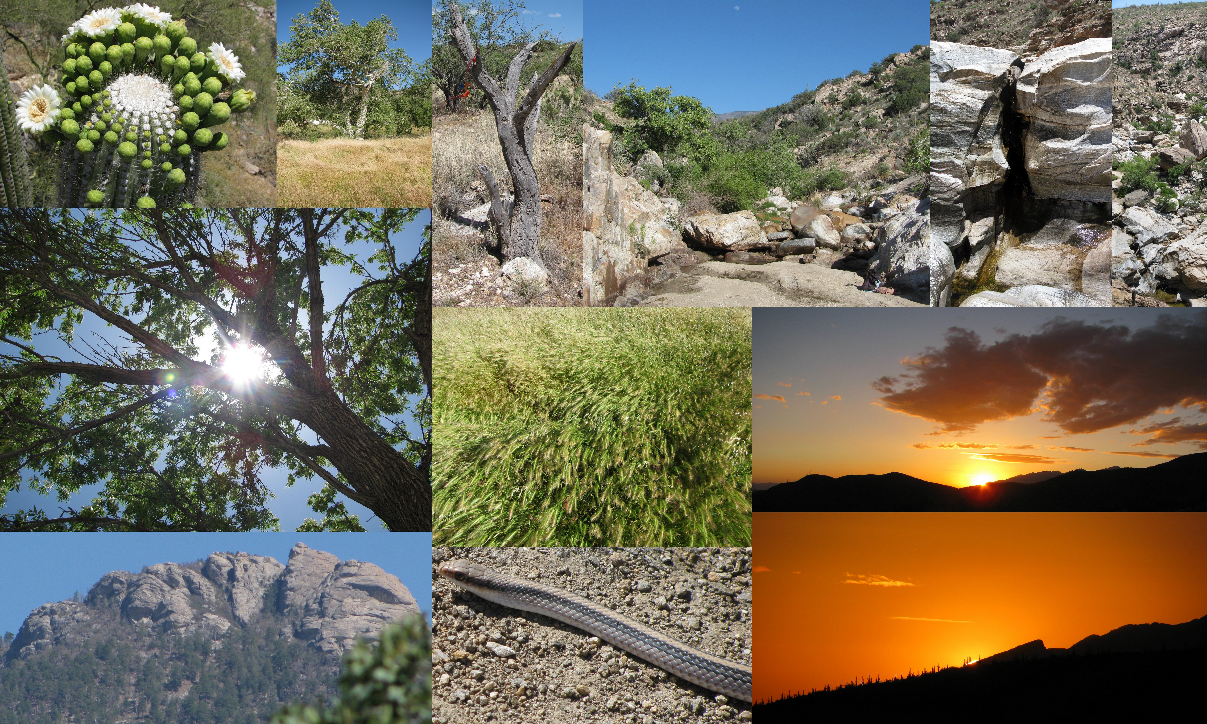
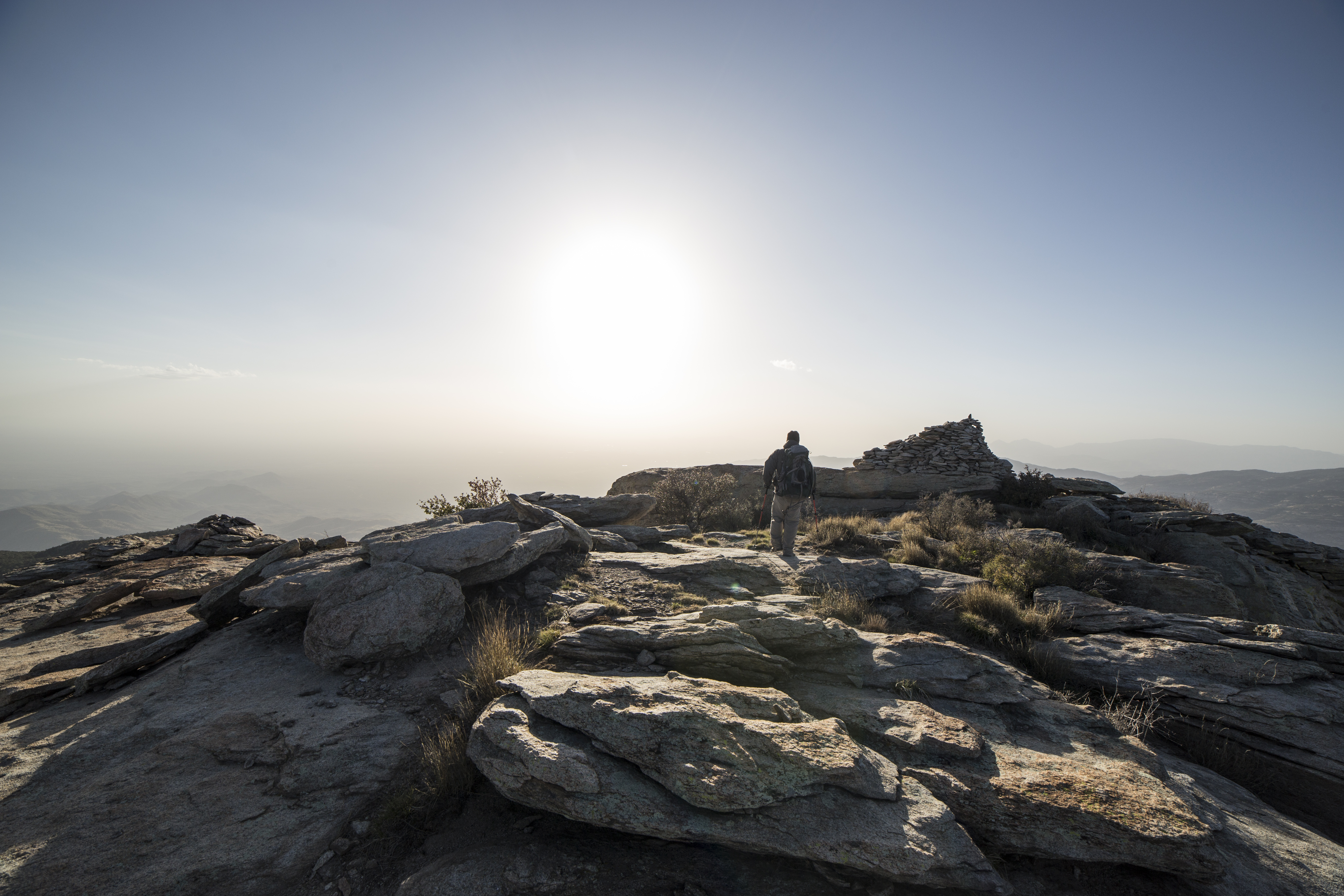
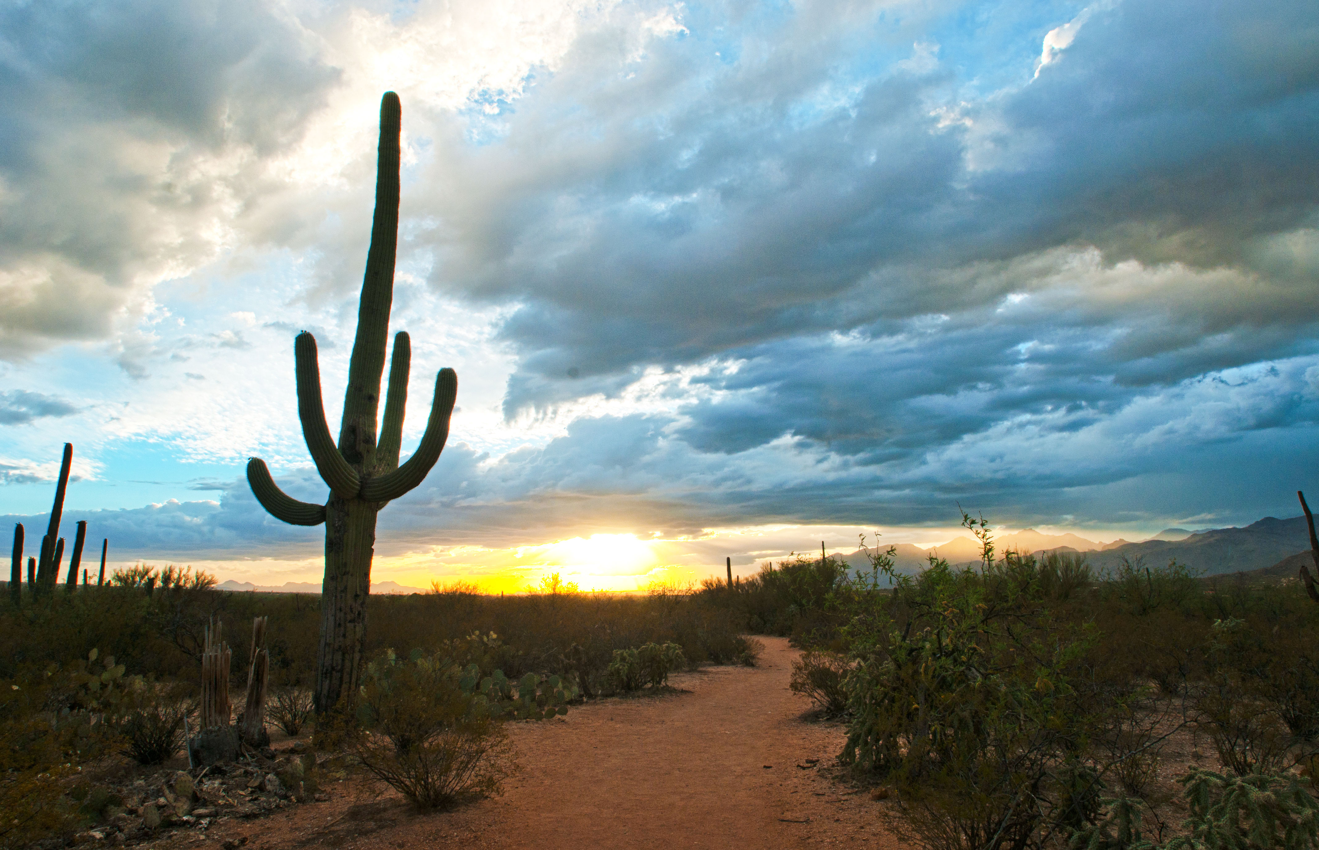
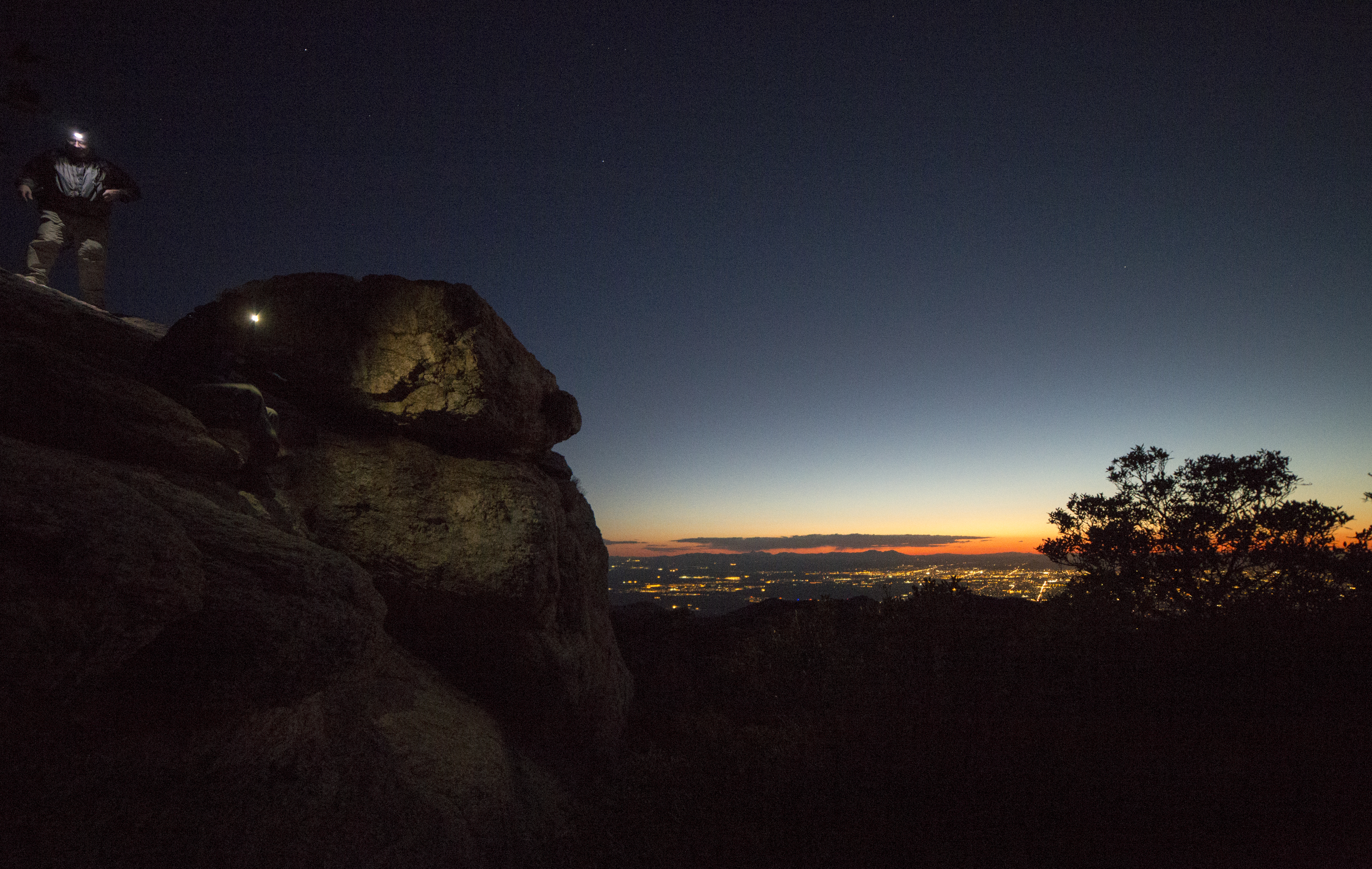
Related Photos:

Sad Hike // Upper Tanque Verde Falls
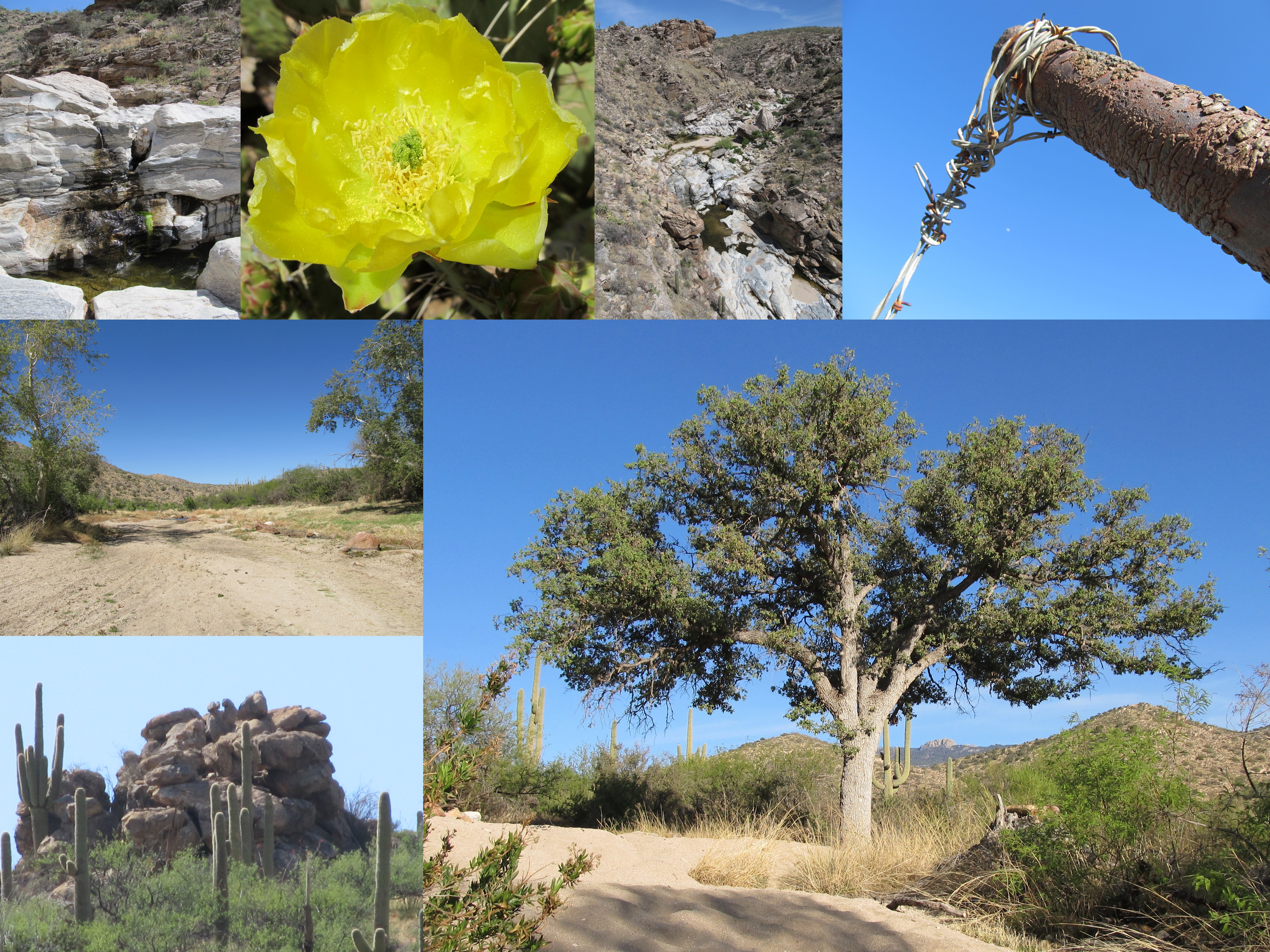
Upper Tanque Verde Falls Hike
Cool, Windy Hike
Rincon Peak Backpacking
Heaven For The Weather, Hell For The Company
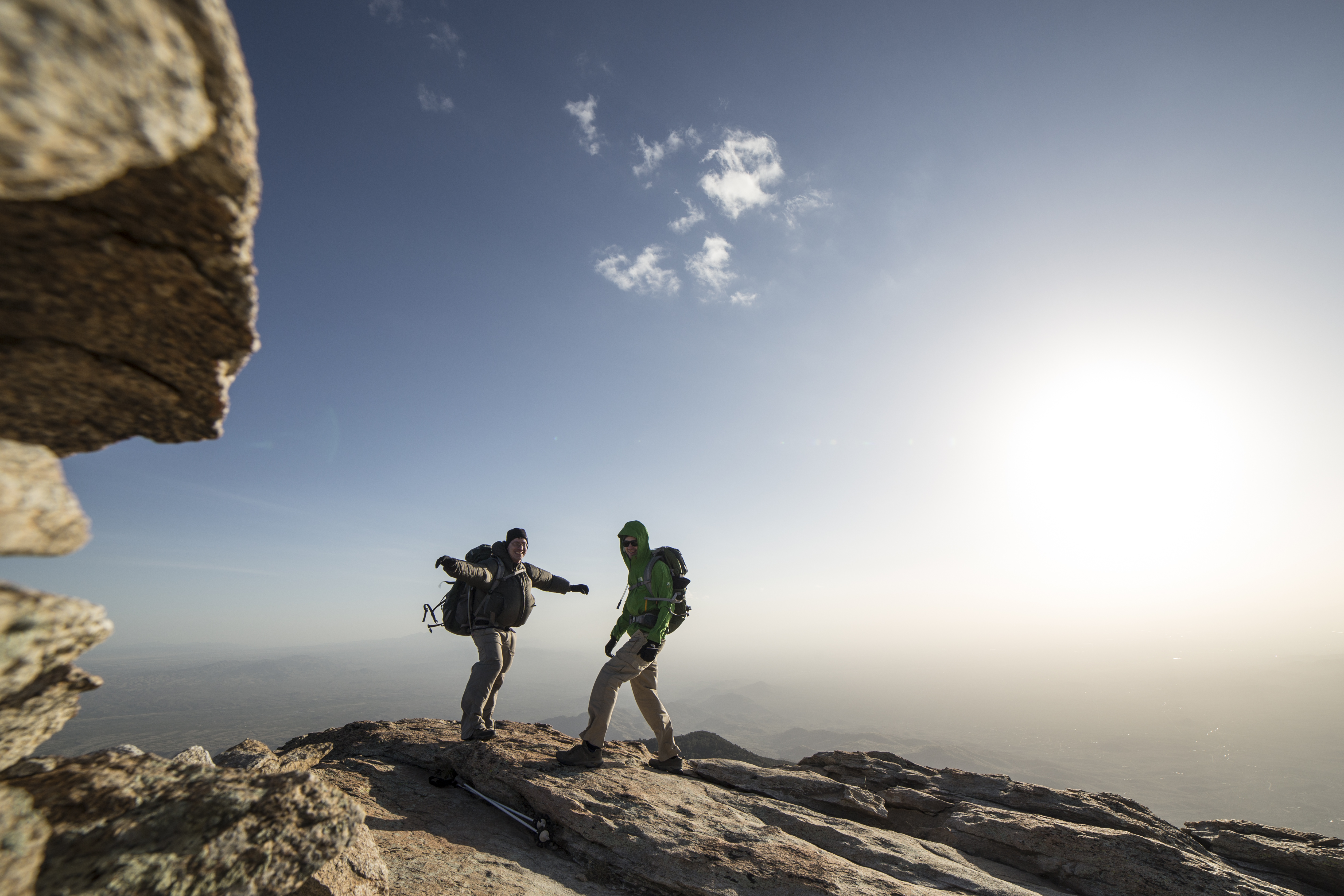
Rincon Peak Backpacking
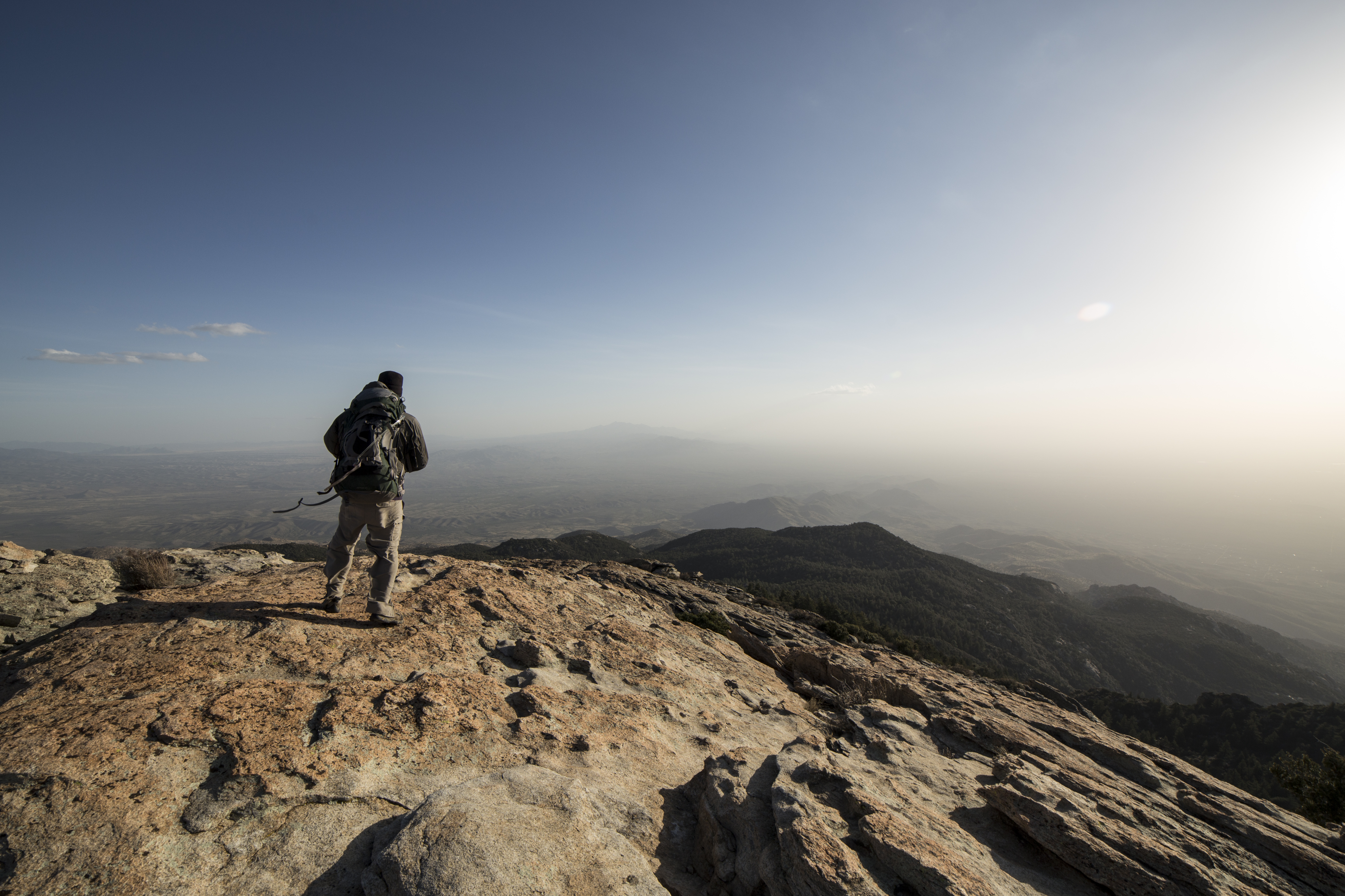
Rincon Peak Backpacking
======================= Views along Brewery Ave ======================= #azigers #igersTucson #rsa_light #instagramaz #instaaz #tv_hdr #rsa_streetview #visual_heaven #royalsnappingartists #AGUSM_Spotlight #iG_Exquisite #the_darksourcess #miningtown #coppe
Rincon Peak Backpacking
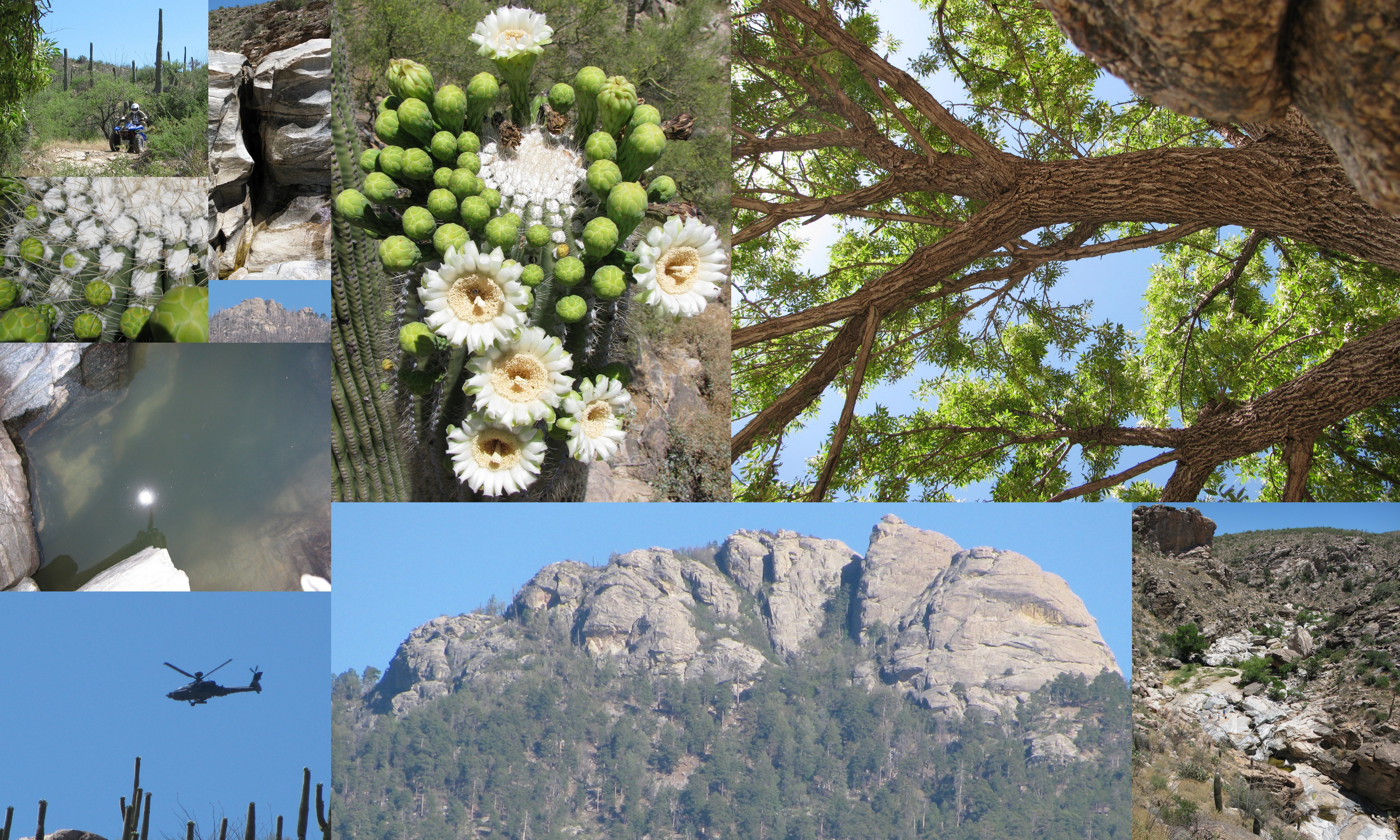
Upper Tanque Verde Falls Hike
Tanque Verde Ridge Trail
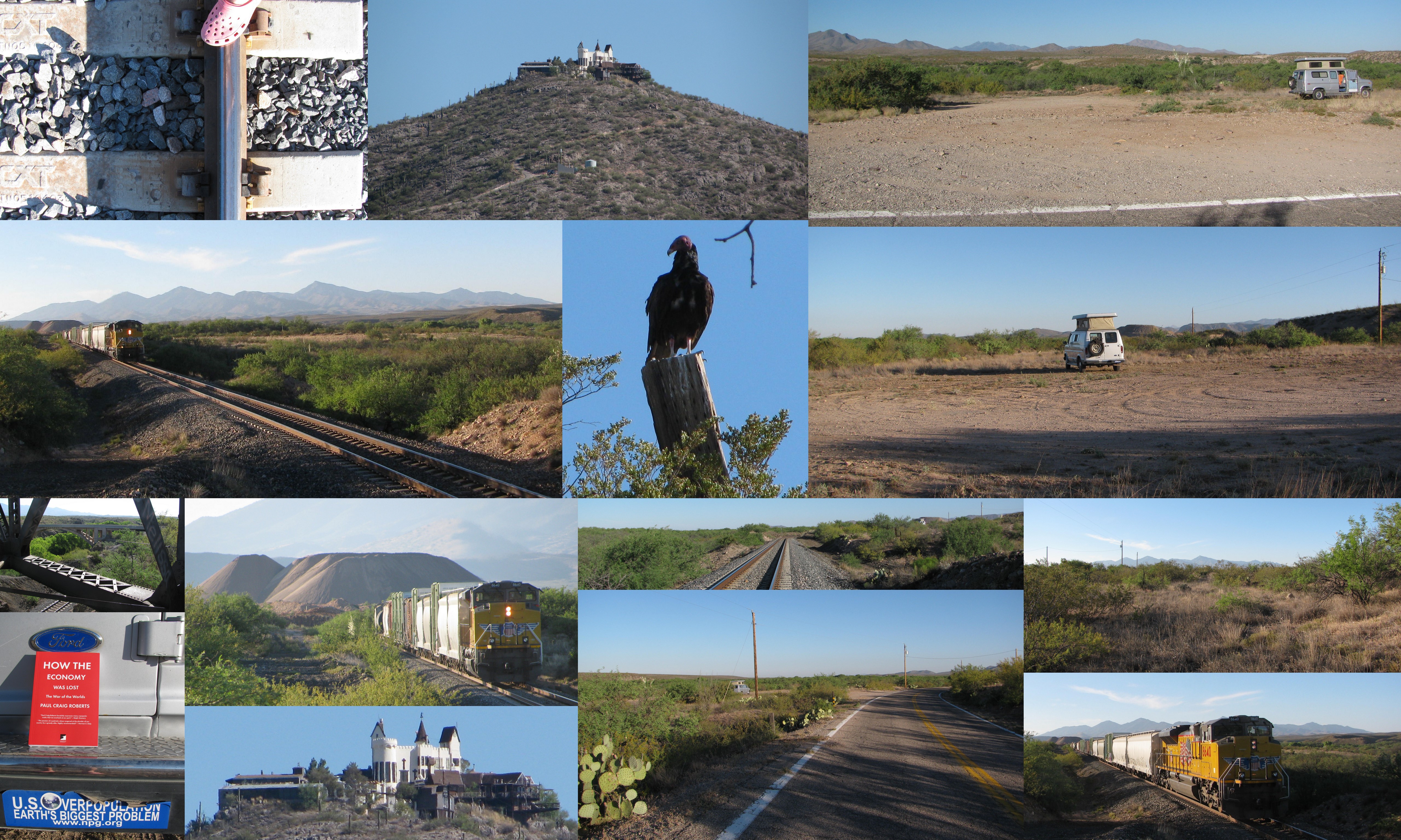
Vacant lot I own next to the train tracks
Rincon Peak Backpacking
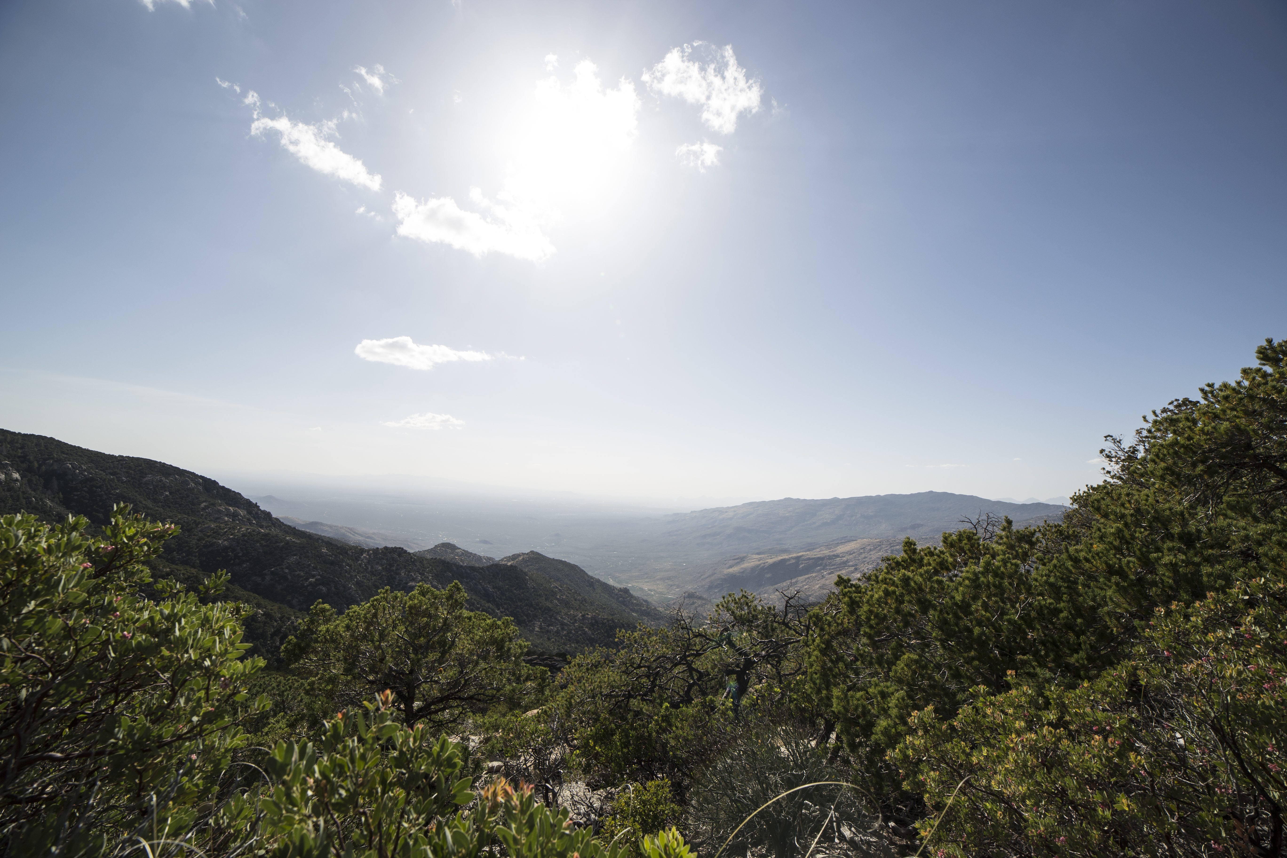
Rincon Peak Backpacking
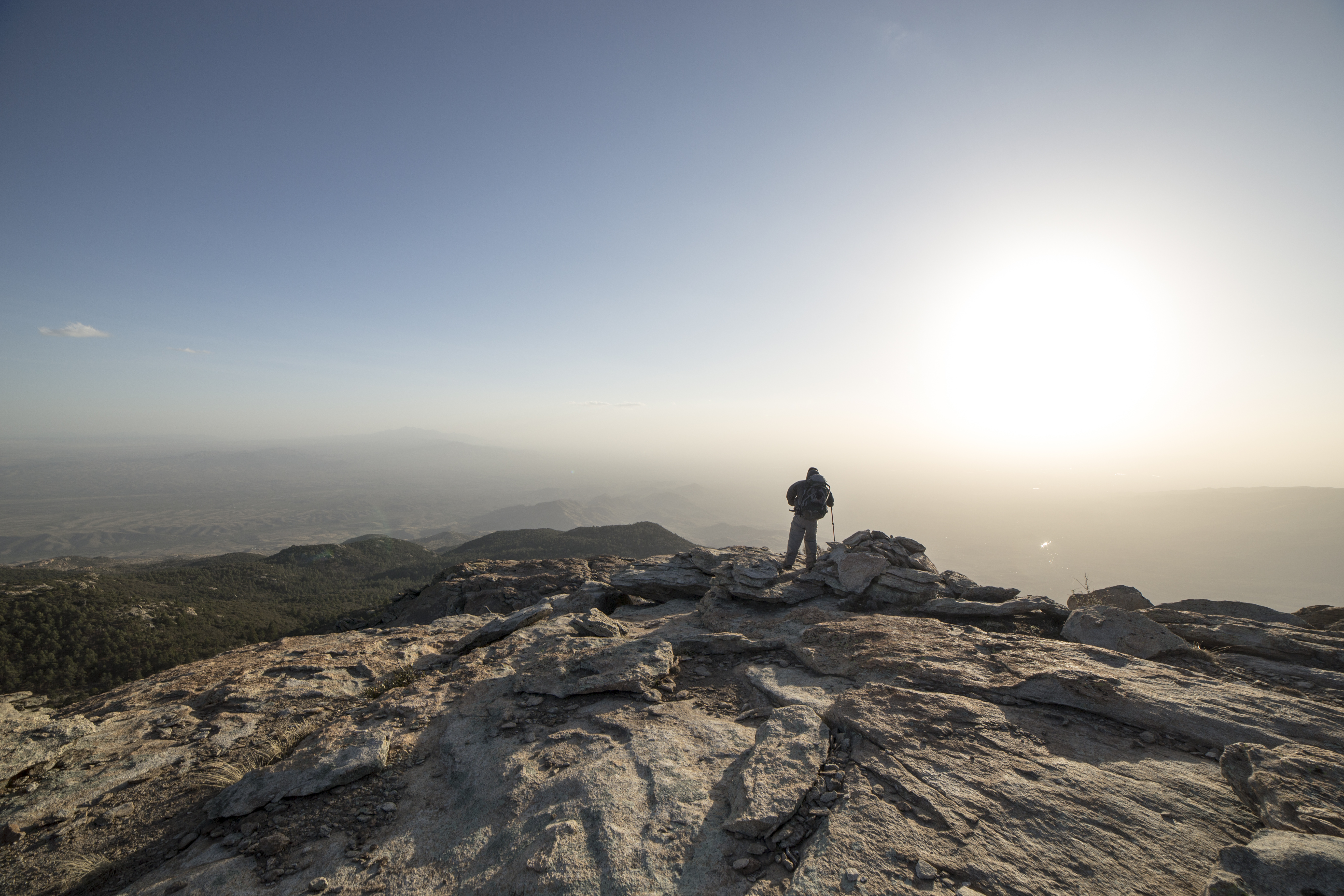
Rincon Peak Backpacking
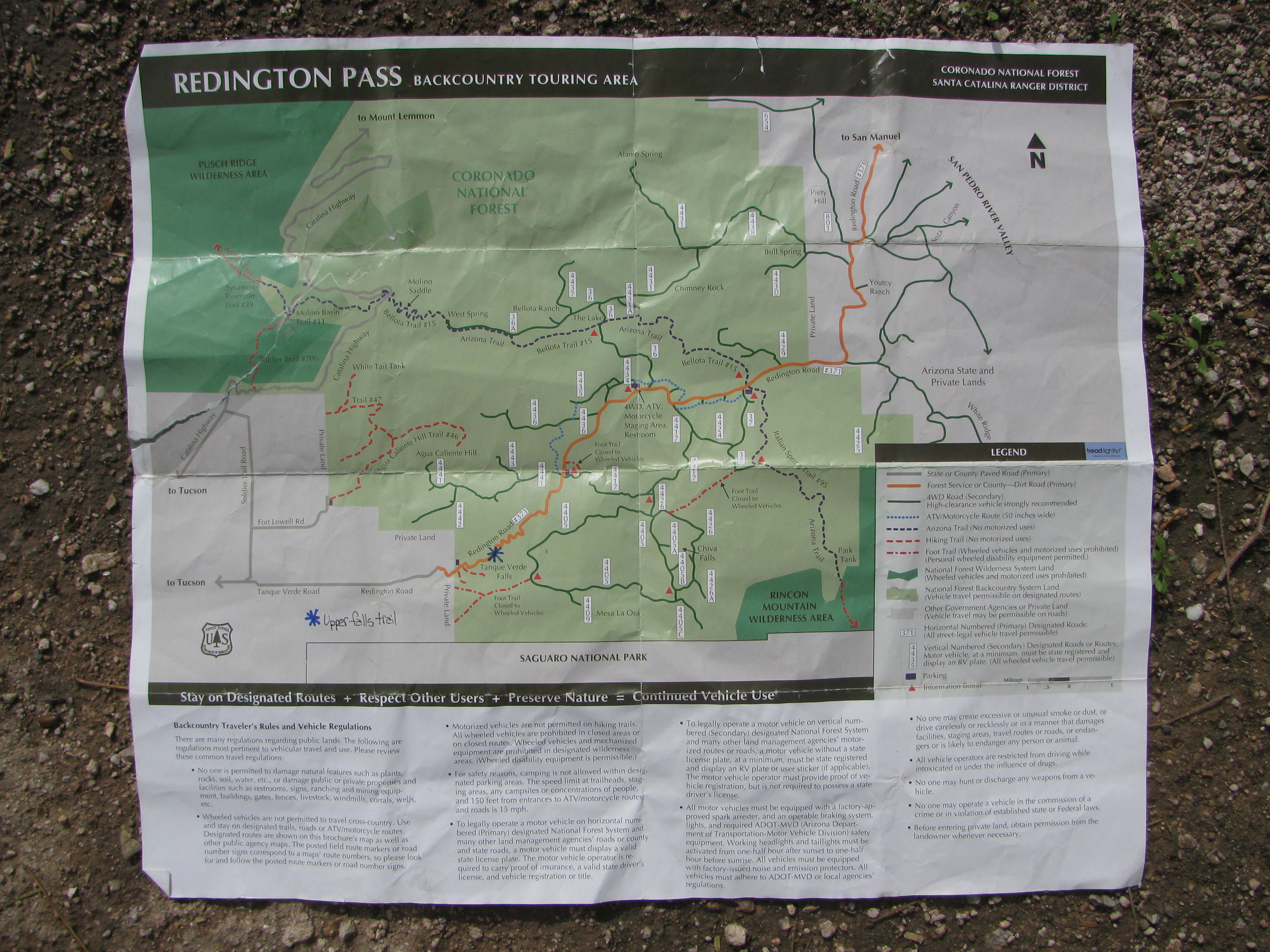
Redington Pass Trail Map

Antelope Jackrabbit
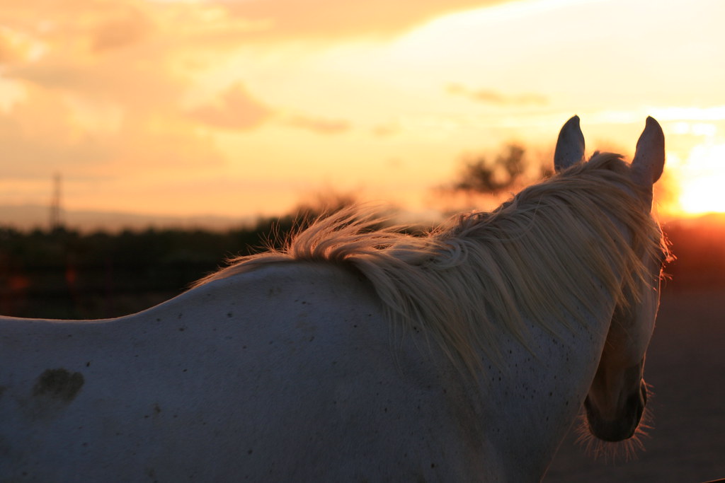
horse sun details [IMG_0594]
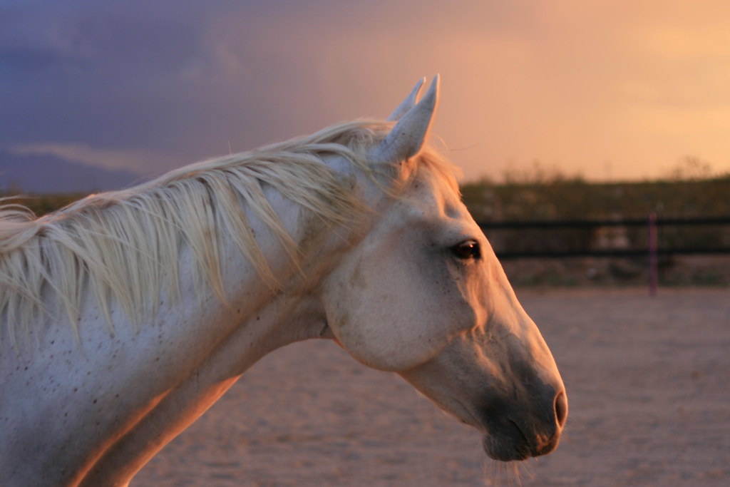
white horse sunset [IMG_0592]

sun burning through the clouds [IMG_0606]
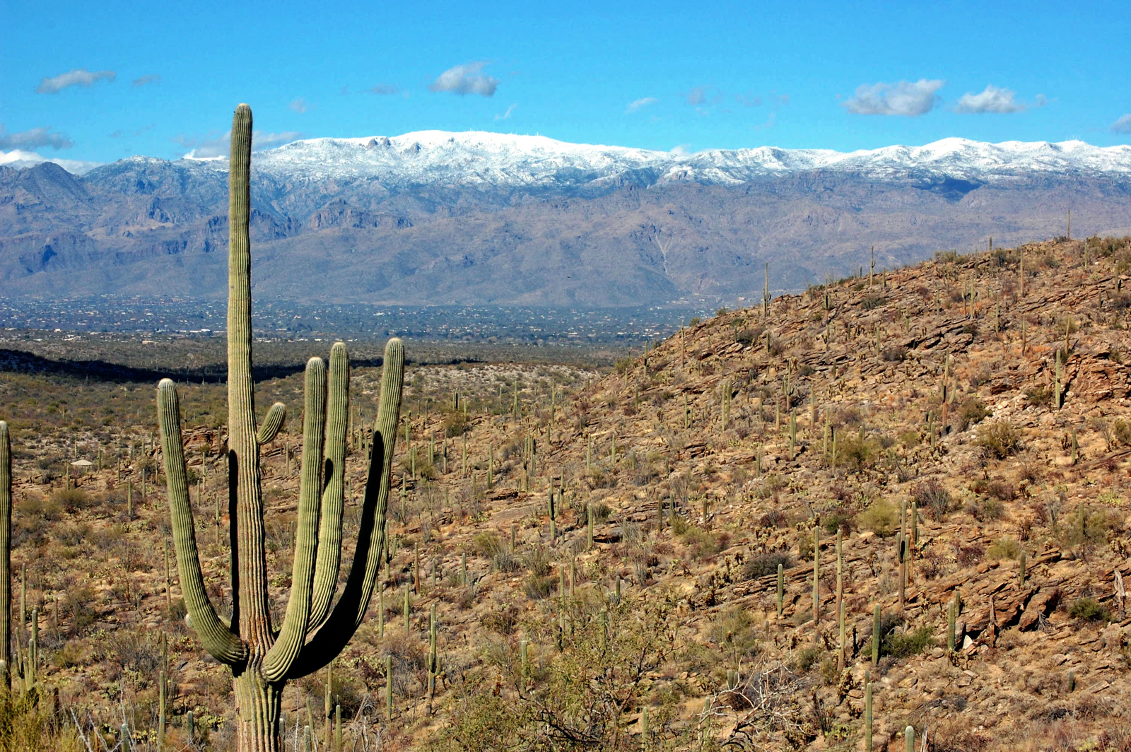
Snow and Rain in the Desert

Three of a Kind
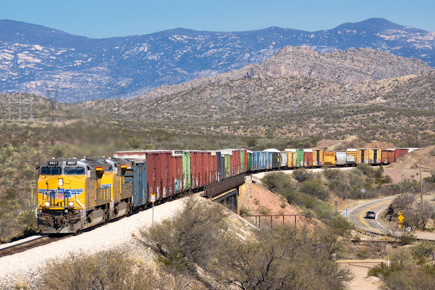
UP 8027 West @ Vail, AZ
Eastbound Union Pacific at Vail purty durned close to sunset
Prickly Backlighting
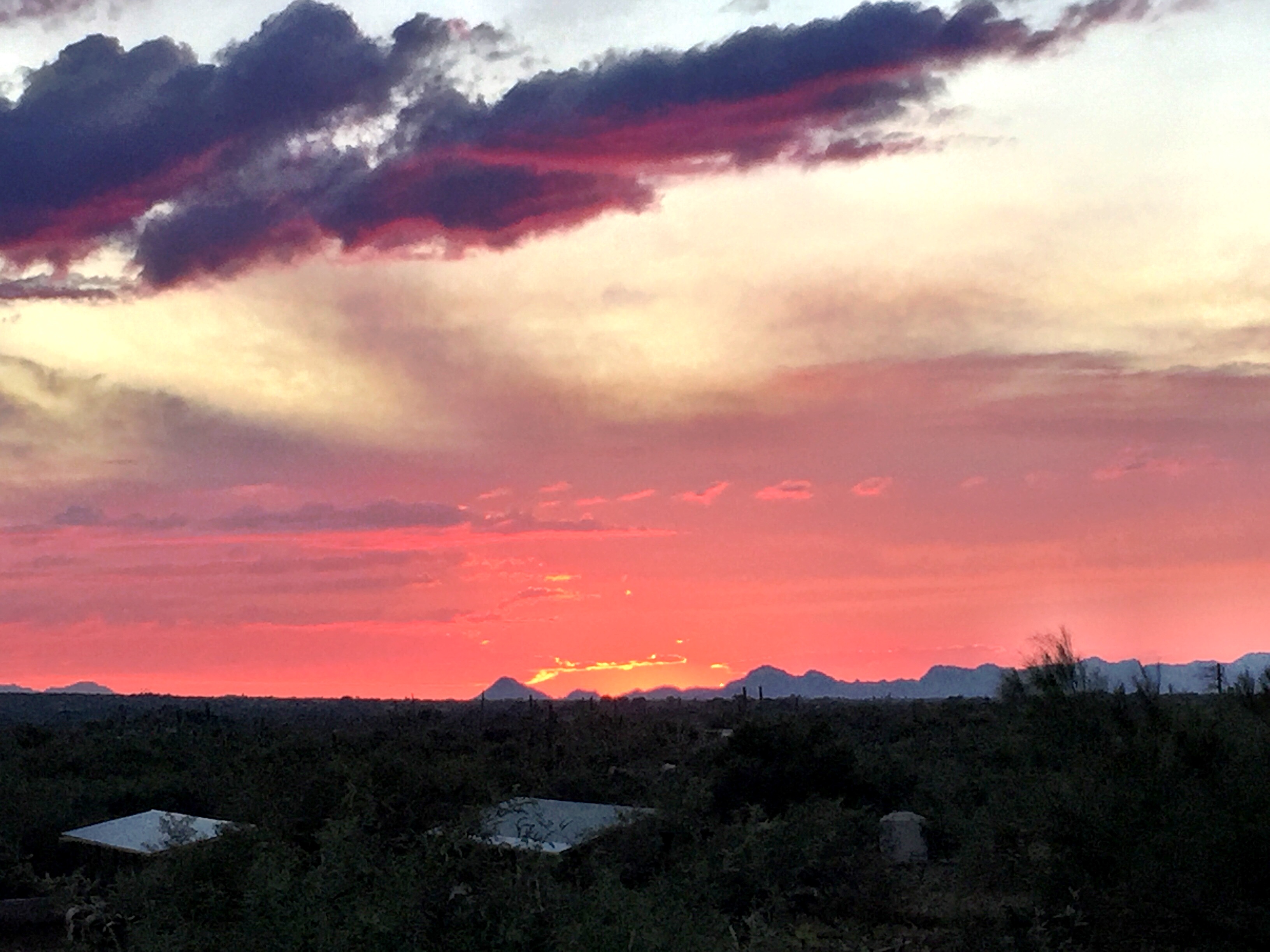
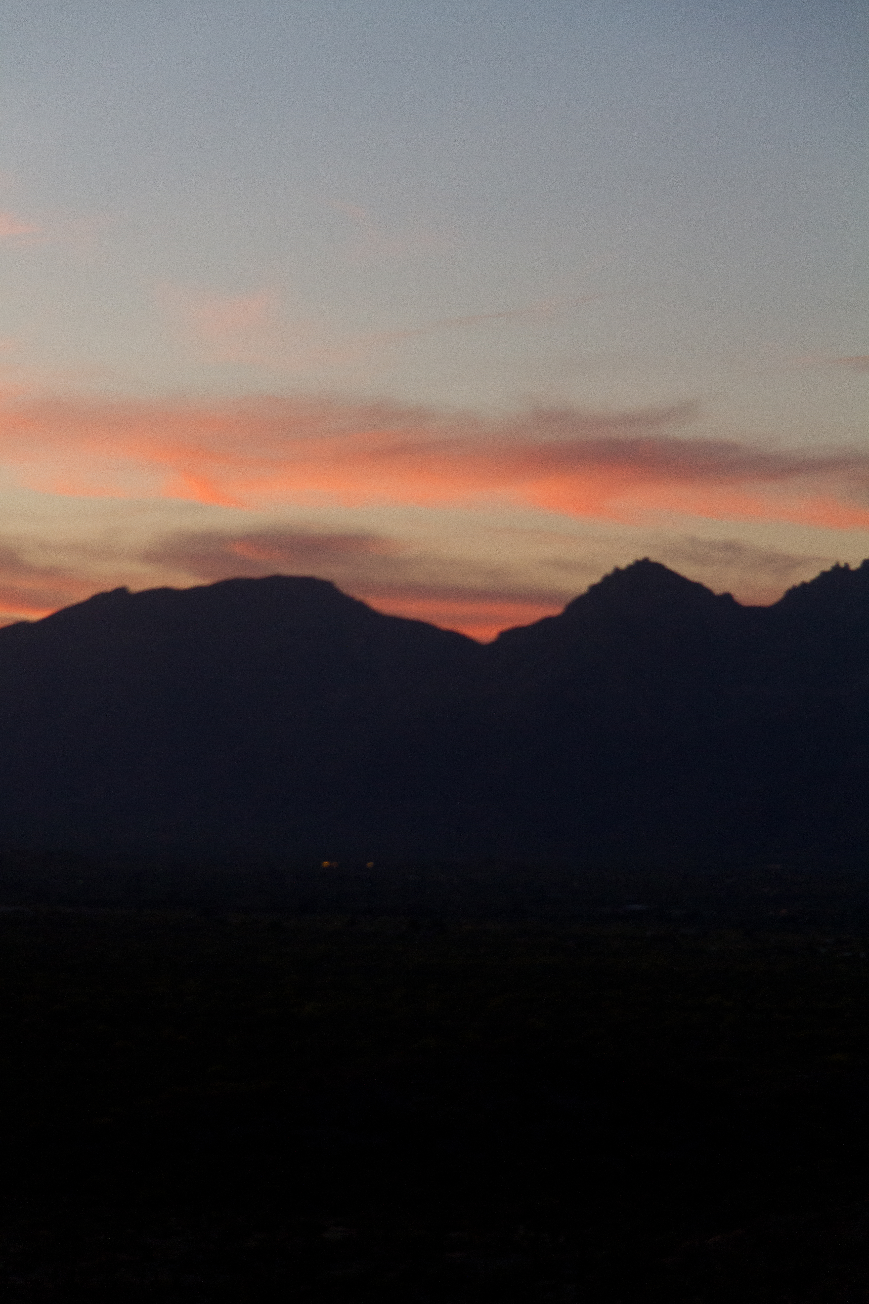
Arizona Sunset
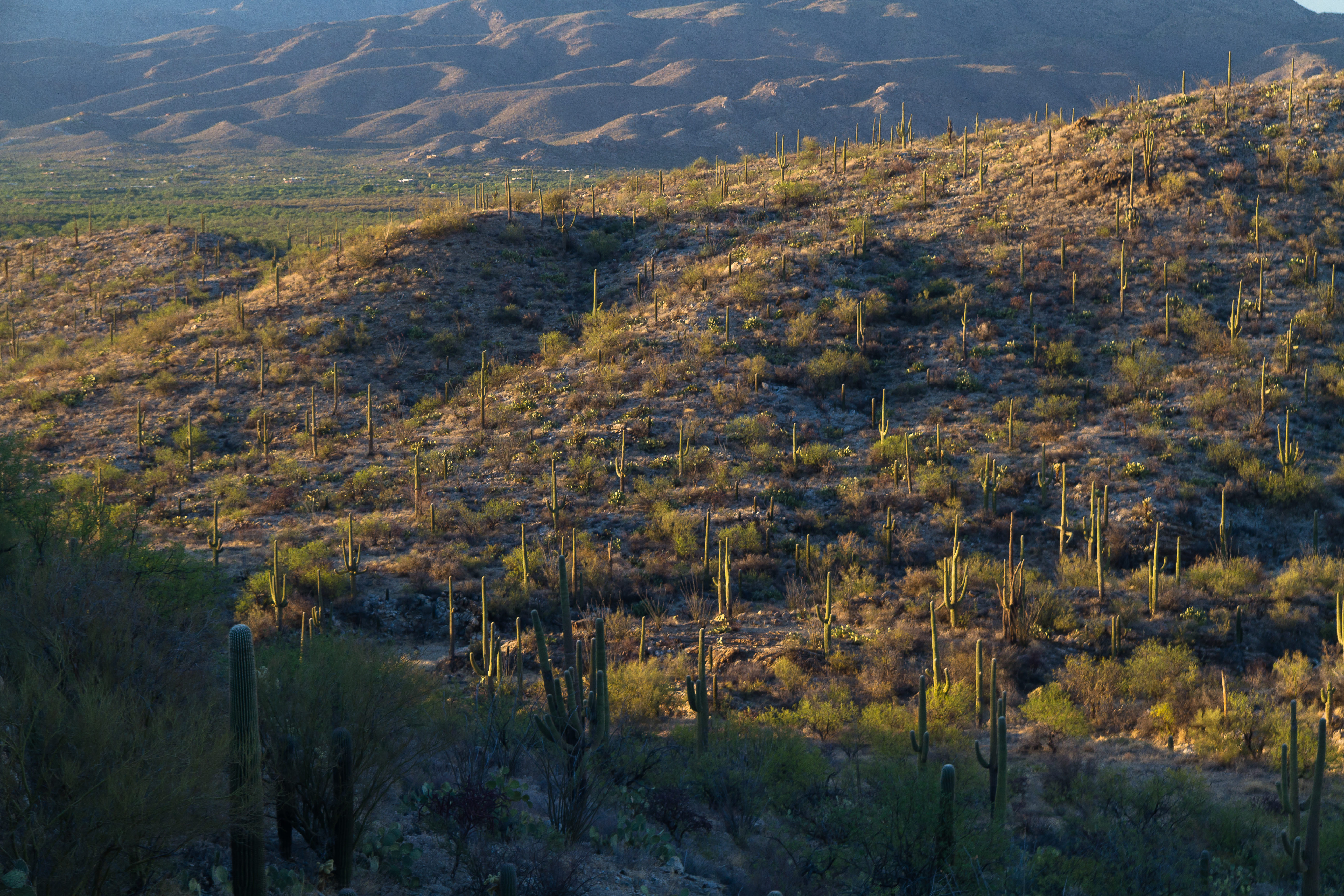
Sunset light panorama on the Garwood Trail in Saguaro National Park

On the Garwood Trail in Saguaro National Park

Gold Dust

Sunset light on the Garwood Trail in Saguaro National Park

untitled201205030058.jpg
UP 8259 East @ Vail, AZ
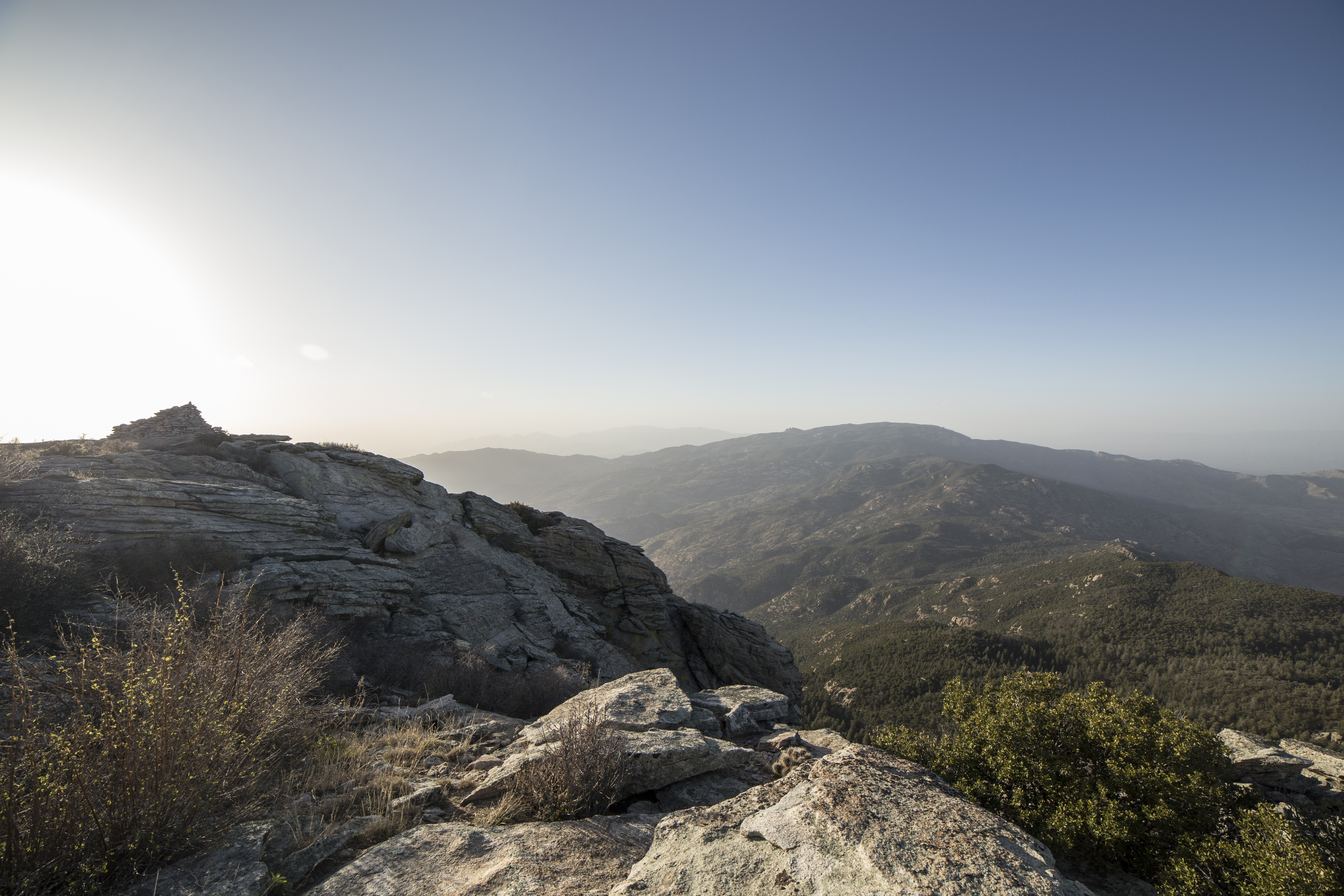
Sunset from Redington Pass. Tucson, Arizona, April 1, 2013.
Grassland Fairytale
Return to Happy Valley
untitled201205030057.jpg
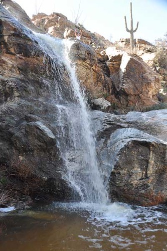
021310-WaterFalls136
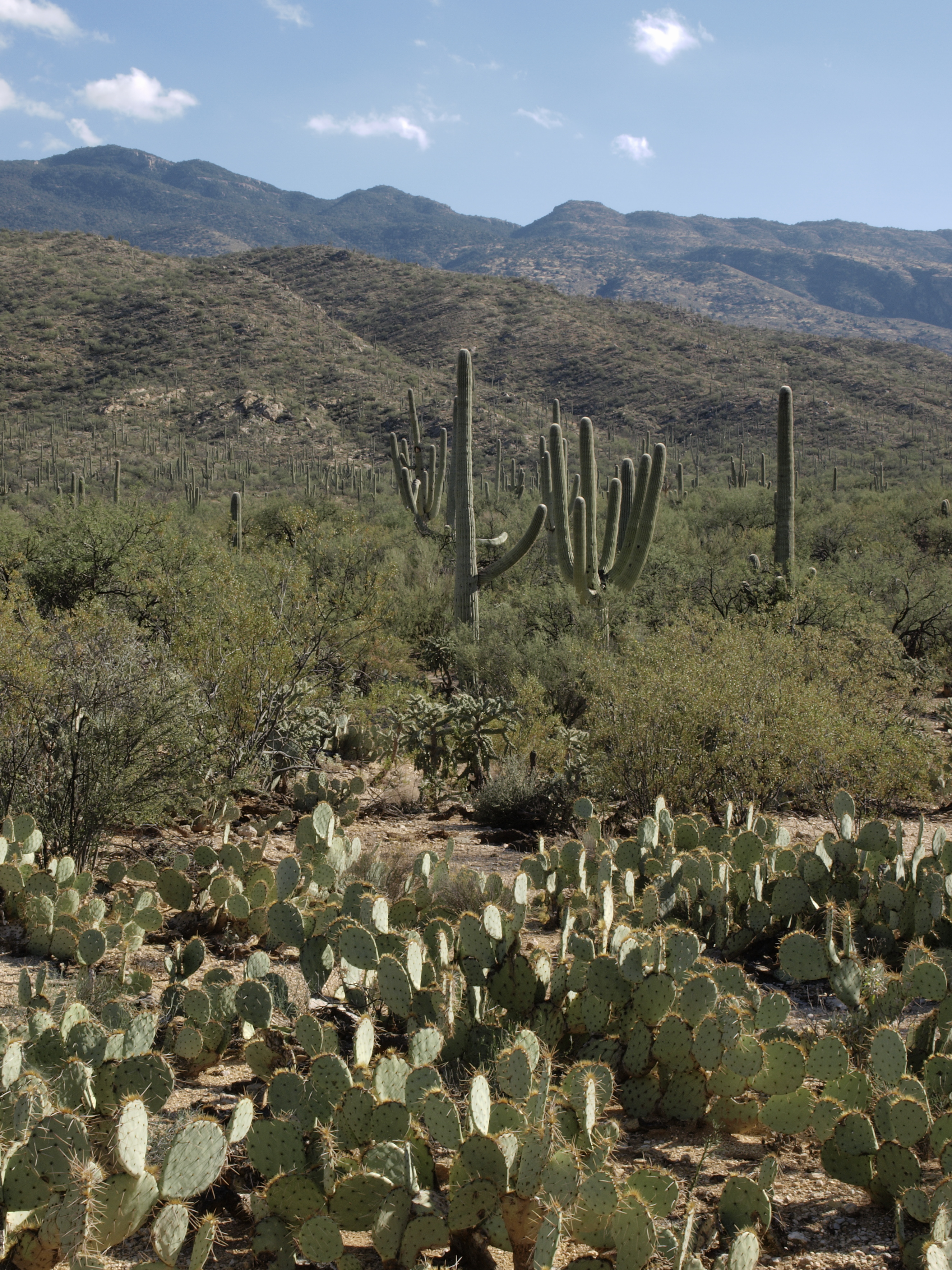
On the Garwood Trail in Saguaro National Park
untitled201205030062.jpg
Around Tucson - Kirsten and Paul's Wedding
2011062130.jpg
untitled201205030063.jpg
Topographic Map of S X9 Ranch Rd, Vail, AZ, USA
Find elevation by address:

Places near S X9 Ranch Rd, Vail, AZ, USA:
7120 S Red Hill Rd
East Cactus Hill Road
6200 S X9 Ranch Rd
6355 S Upper Valley Rd
5901 High Valley Rd
15505 E Rincon Creek Ranch Rd
15390 E Rincon Creek Ranch Rd
8624 S Tumbling M Ranch Pl
8545 S Long Bar Ranch Pl
Coyote Creek
15151 E Two Bar Z Ranch Pl
7960 Cir C Ranch Rd
Colossal Cave Mountain Park
8015 Cir C Ranch Rd
Triangle L
8613 S Triangle O Ranch Pl
Estates At Old Spanish Trail
East Old Spanish Trail
14250 E Ave Elena
14398 Royal Falcon Peak Pl
Recent Searches:
- Elevation of Warwick, RI, USA
- Elevation of Fern Rd, Whitmore, CA, USA
- Elevation of 62 Abbey St, Marshfield, MA, USA
- Elevation of Fernwood, Bradenton, FL, USA
- Elevation of Felindre, Swansea SA5 7LU, UK
- Elevation of Leyte Industrial Development Estate, Isabel, Leyte, Philippines
- Elevation of W Granada St, Tampa, FL, USA
- Elevation of Pykes Down, Ivybridge PL21 0BY, UK
- Elevation of Jalan Senandin, Lutong, Miri, Sarawak, Malaysia
- Elevation of Bilohirs'k