Elevation of Hanpo Station, North Hwanghae, North Korea
Location: North Korea > North Hwanghae >
Longitude: 126.452529
Latitude: 38.2265437
Elevation: 27m / 89feet
Barometric Pressure: 101KPa
Elevation Map:
Satellite Map:
Related Photos:
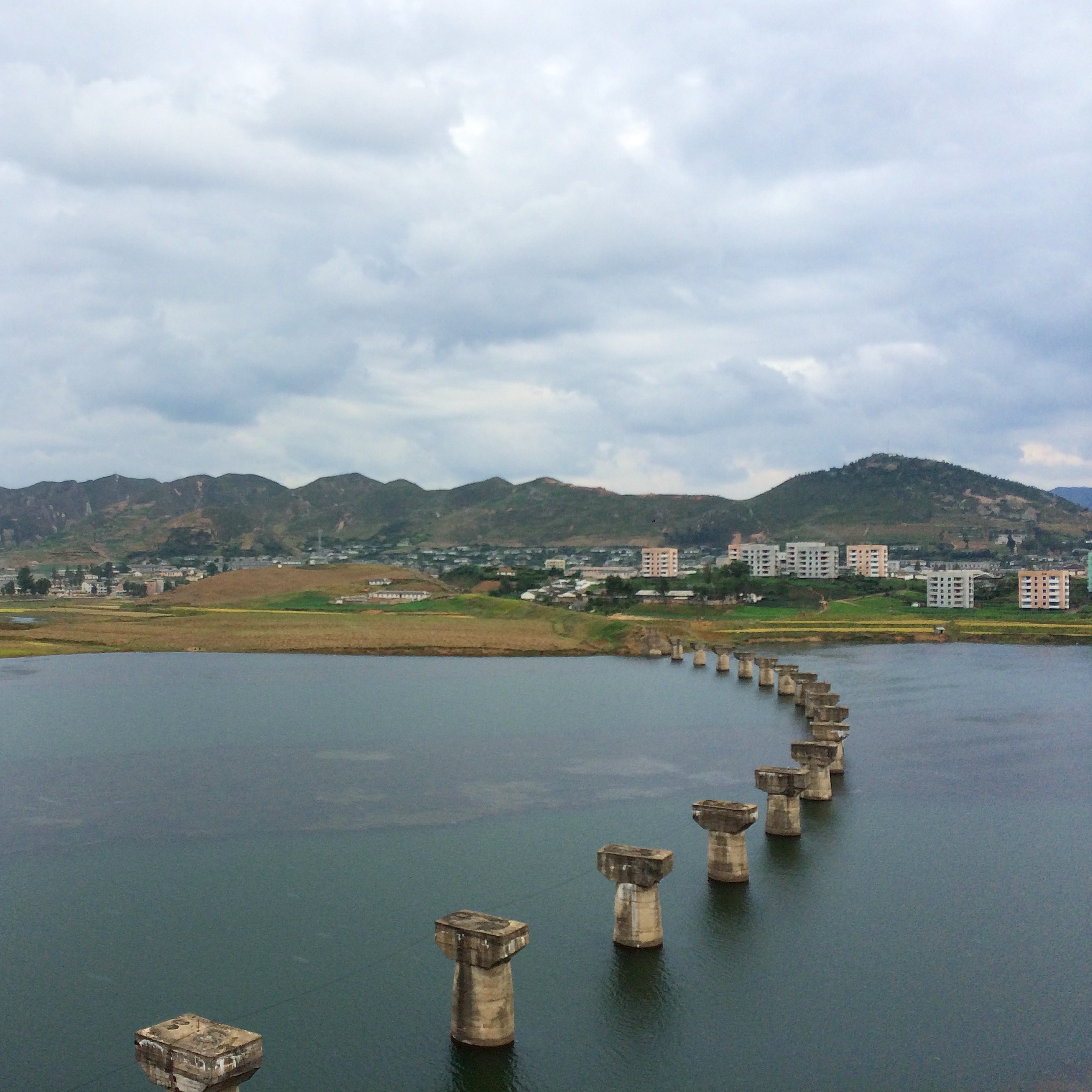
2014 Oct North Korea trip DPRK (946)
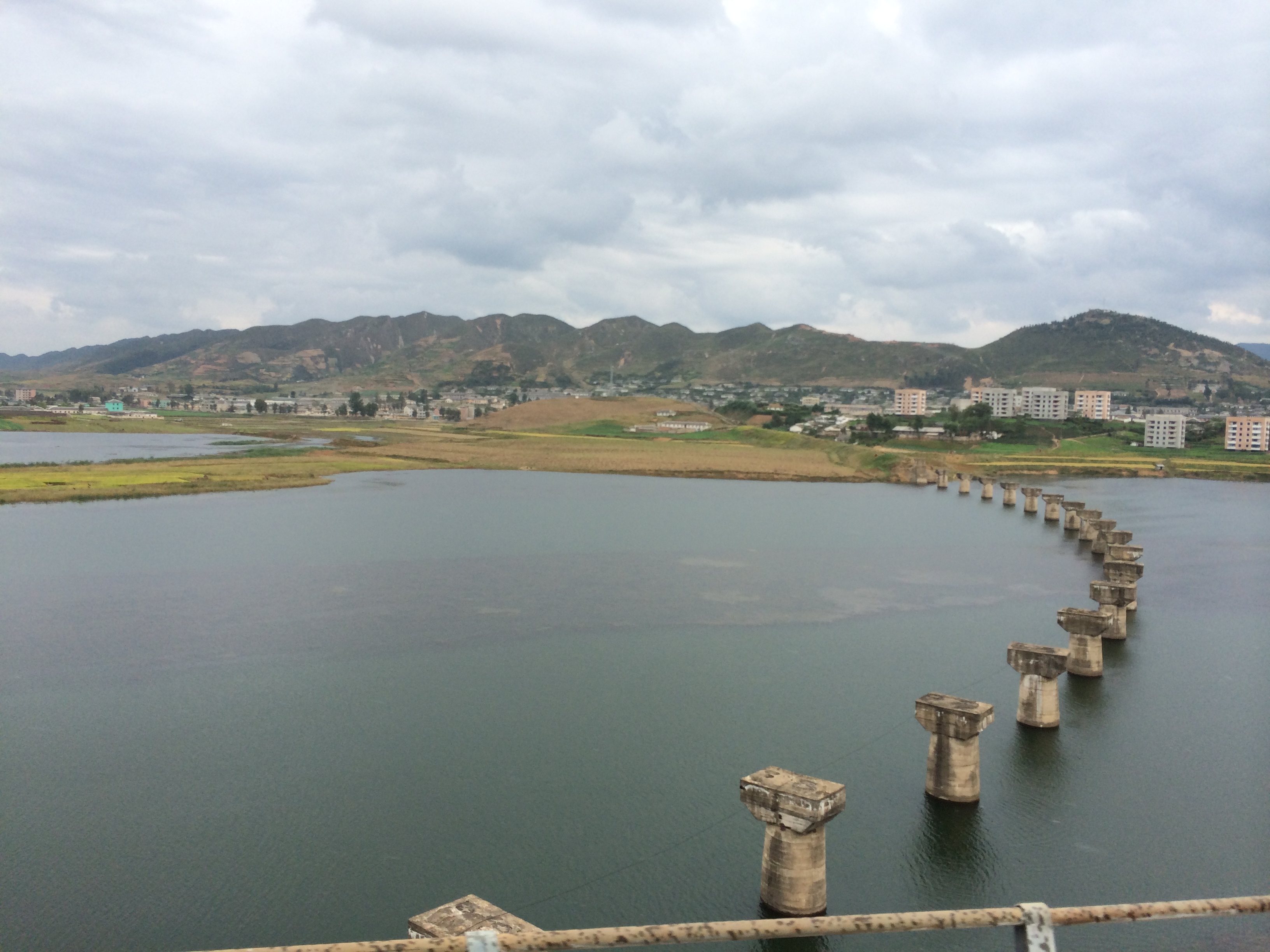
2014 Oct North Korea trip DPRK (947)
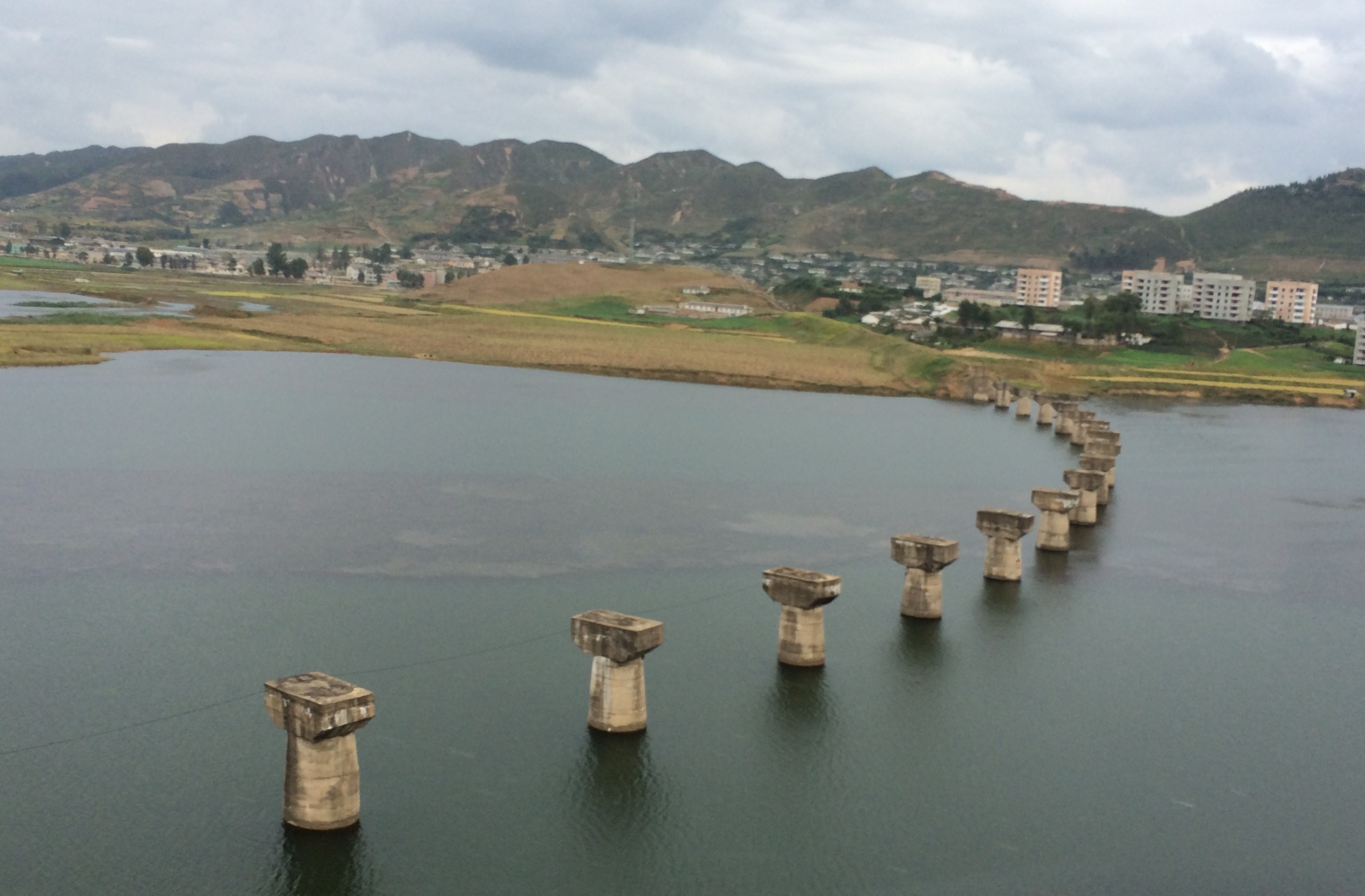
2014 Oct North Korea trip DPRK (944)

Kaesong, North Korea
Kŭmch'ŏn, North Korea.
Topographic Map of Hanpo Station, North Hwanghae, North Korea
Find elevation by address:

Places near Hanpo Station, North Hwanghae, North Korea:
Taebaeksanseong Station
Kumchon
Pyongsan
North Hwanghae
Kyejong-gol
Mulgae Station
Ryeohyeon Station
Kaesong Folk Hotel
Sinmak
Sohung
Heungsu Station
Bongsan Station
Sariwon
Haeju
Hwangju
Hukkyo
Chunghwa
Pyongyang
Songnim
Taedonggang District
Recent Searches:
- Elevation of Bella Terra Blvd, Estero, FL, USA
- Elevation of Estates Loop, Priest River, ID, USA
- Elevation of Woodland Oak Pl, Thousand Oaks, CA, USA
- Elevation of Brownsdale Rd, Renfrew, PA, USA
- Elevation of Corcoran Ln, Suffolk, VA, USA
- Elevation of Mamala II, Sariaya, Quezon, Philippines
- Elevation of Sarangdanda, Nepal
- Elevation of 7 Waterfall Way, Tomball, TX, USA
- Elevation of SW 57th Ave, Portland, OR, USA
- Elevation of Crocker Dr, Vacaville, CA, USA