Elevation of Haeju, South Hwanghae, North Korea
Location: North Korea >
Longitude: 125.707923
Latitude: 38.0375021
Elevation: 55m / 180feet
Barometric Pressure: 101KPa
Elevation Map:
Satellite Map:
Related Photos:
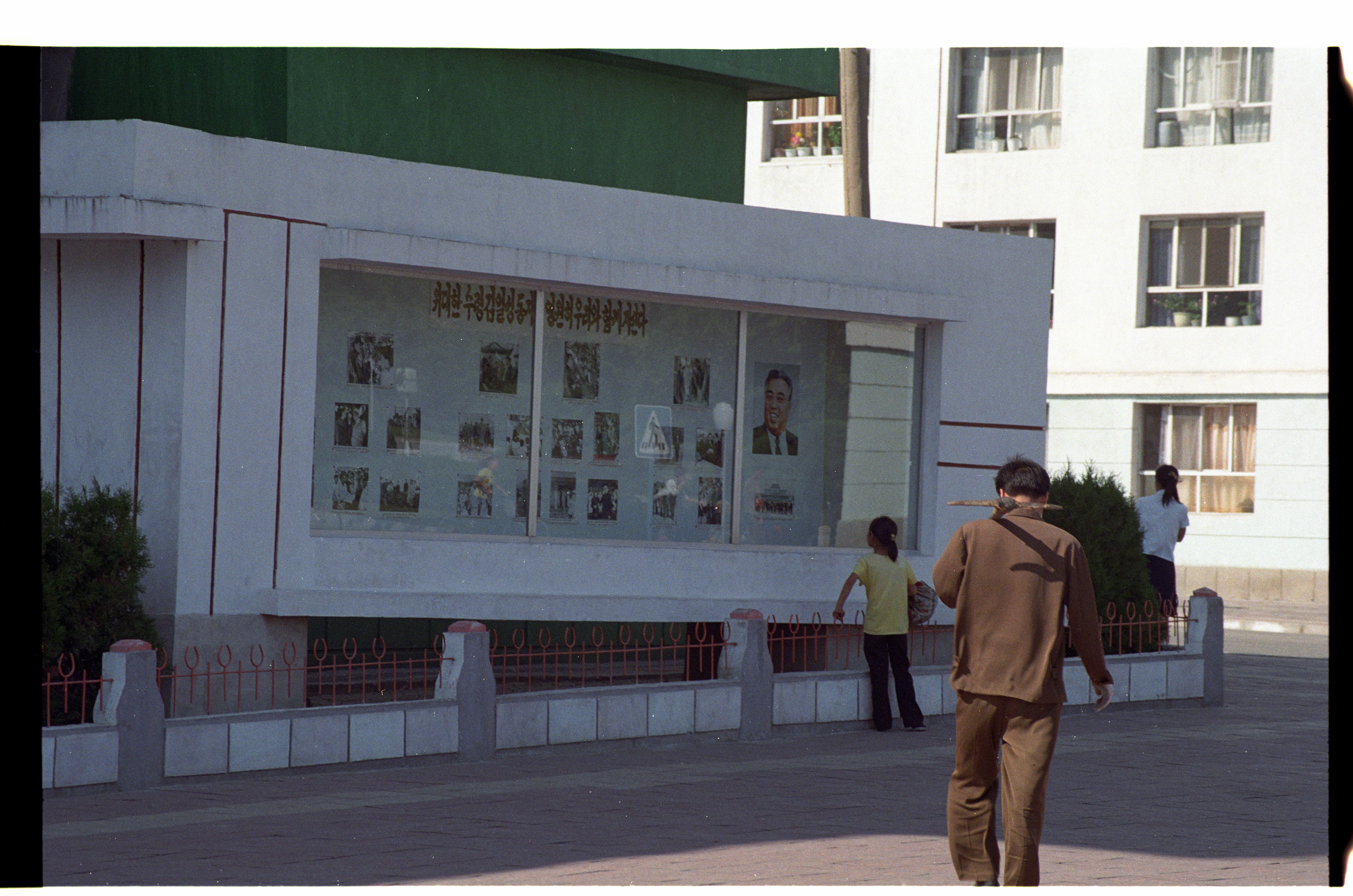
Propaganda Display Haeju North Korea

Haeju North Korea
Topographic Map of Haeju, South Hwanghae, North Korea
Find elevation by address:

Places near Haeju, South Hwanghae, North Korea:
Bongsan Station
Sariwon
Heungsu Station
Sohung
Hwangju
Sinmak
Mulgae Station
Songnim
Ryeohyeon Station
Kyejong-gol
Pyongsan
Taebaeksanseong Station
Hanpo Station
Hukkyo
Kumchon
North Hwanghae
Nampo
Chunghwa
Kaesong Folk Hotel
Nakrang District
Recent Searches:
- Elevation of Felindre, Swansea SA5 7LU, UK
- Elevation of Leyte Industrial Development Estate, Isabel, Leyte, Philippines
- Elevation of W Granada St, Tampa, FL, USA
- Elevation of Pykes Down, Ivybridge PL21 0BY, UK
- Elevation of Jalan Senandin, Lutong, Miri, Sarawak, Malaysia
- Elevation of Bilohirs'k
- Elevation of 30 Oak Lawn Dr, Barkhamsted, CT, USA
- Elevation of Luther Road, Luther Rd, Auburn, CA, USA
- Elevation of Unnamed Road, Respublika Severnaya Osetiya — Alaniya, Russia
- Elevation of Verkhny Fiagdon, North Ossetia–Alania Republic, Russia