Elevation of Hanover Township, IN, USA
Location: United States > Indiana > Shelby County >
Longitude: -85.664036
Latitude: 39.6742332
Elevation: 273m / 896feet
Barometric Pressure: 98KPa
Elevation Map:
Satellite Map:
Related Photos:
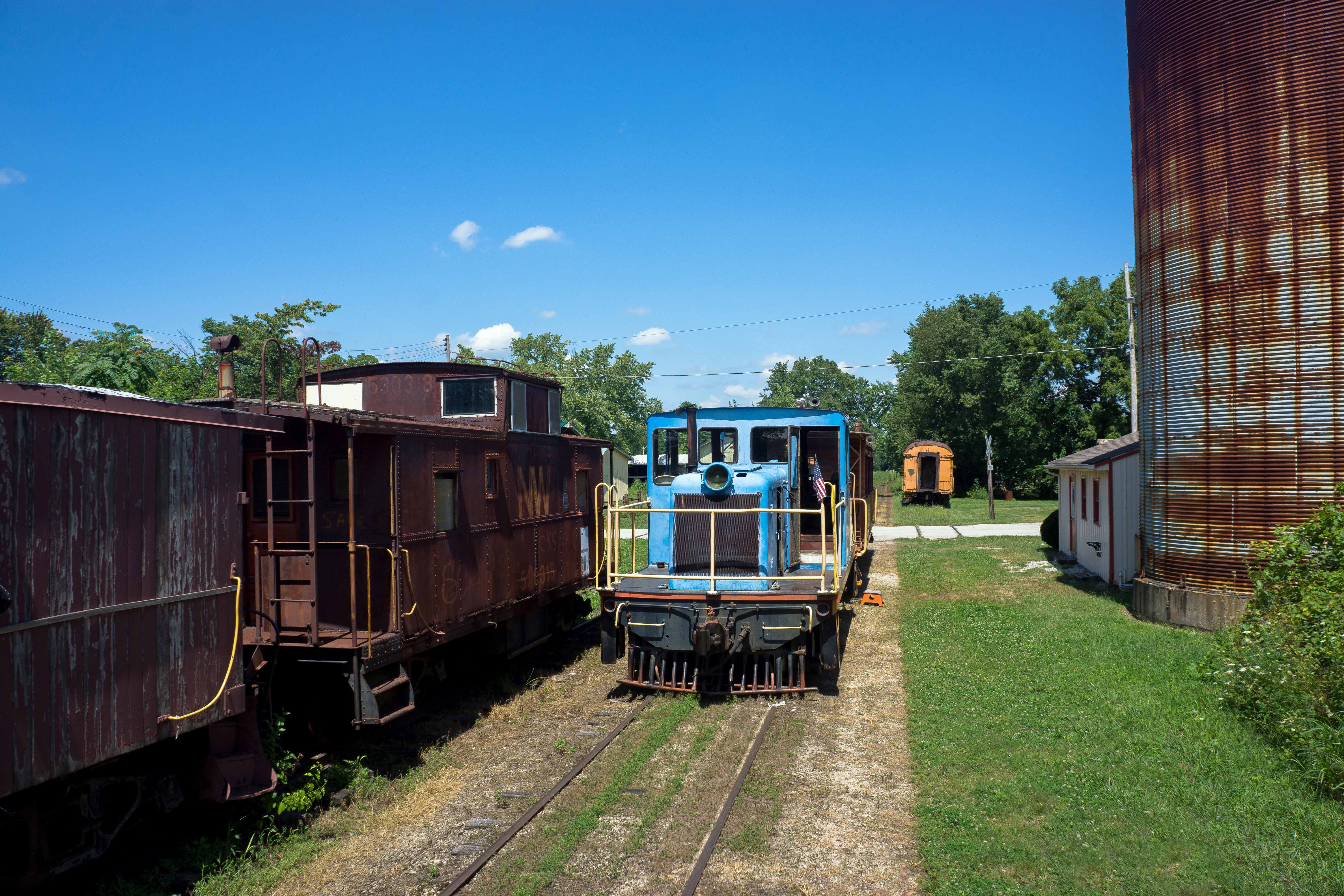
CKSRR, Carthage IN

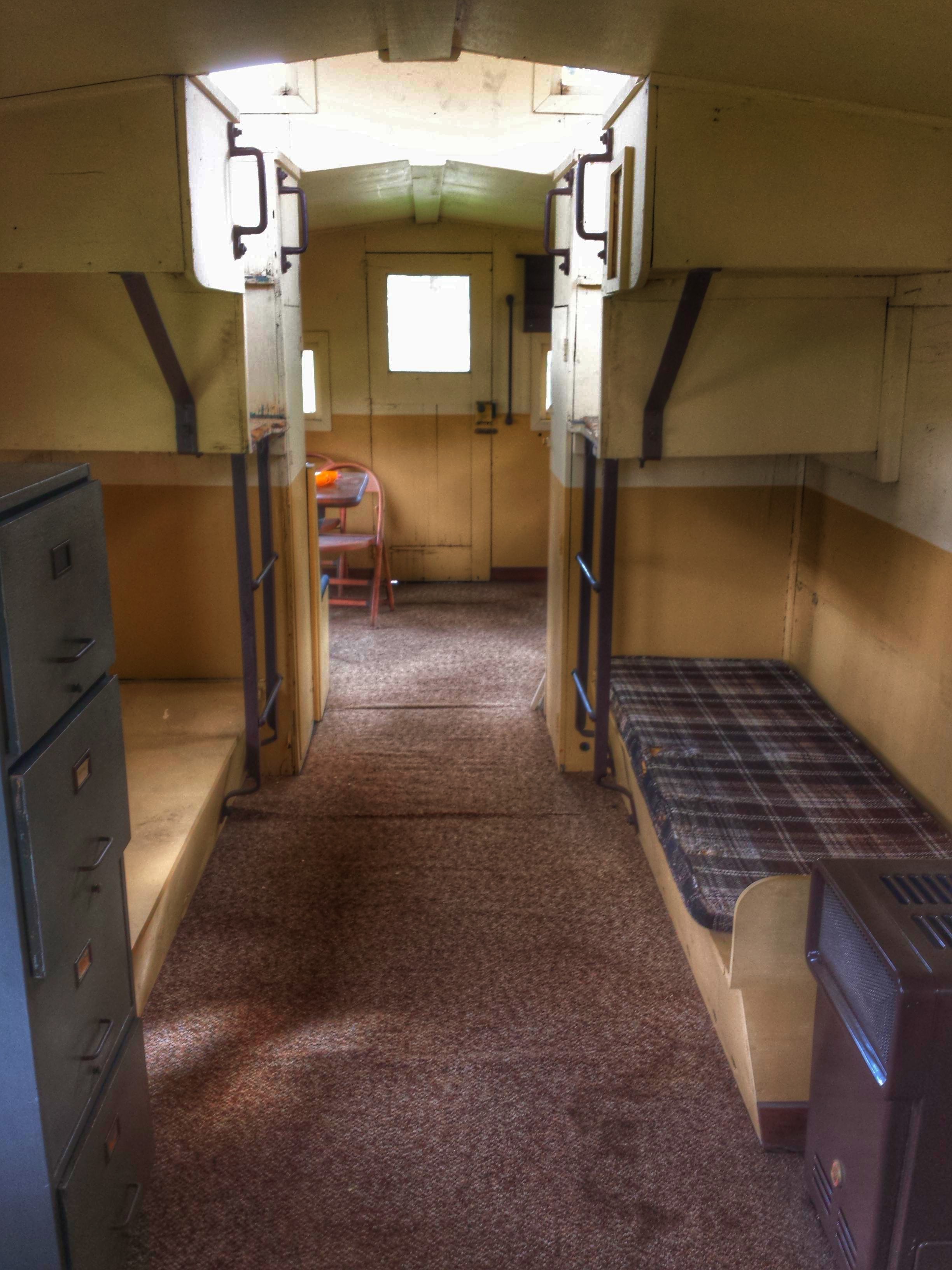
Bugs eye view of 45 tonner, Carthage IN
Junction Railroad Depot- Morristown IN (3)

canes of color @ 1600
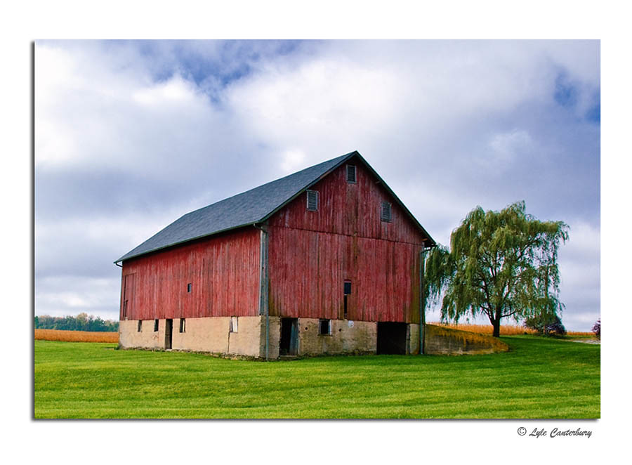
Rustic Red Barn
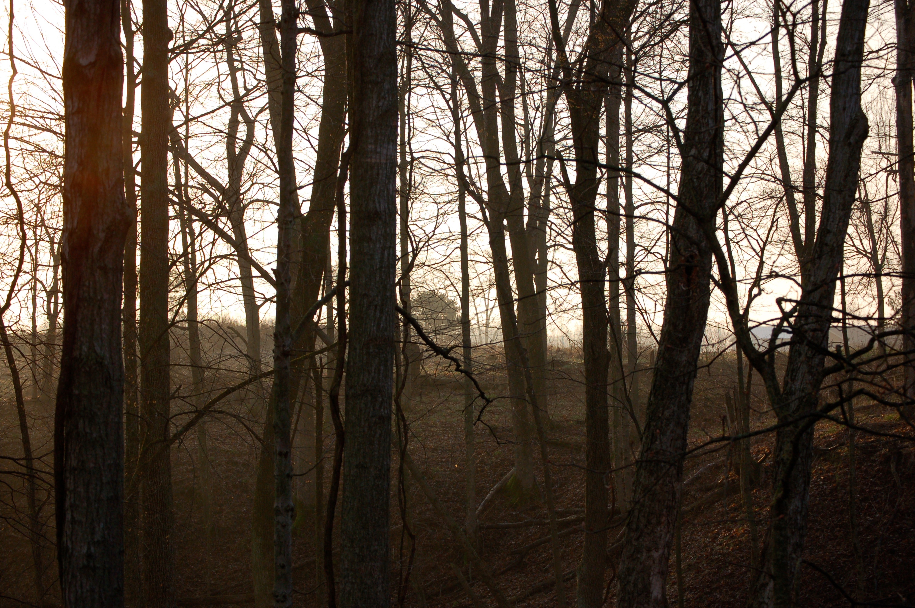
Mist Through Trees

Landscape, Greenfield, Indiana

2015 apprenticeship from Sarah
2015 apprenticeship from Sarah

Trees at Sunrise
Topographic Map of Hanover Township, IN, USA
Find elevation by address:

Places in Hanover Township, IN, USA:
Places near Hanover Township, IN, USA:
N Mechanic St, Morristown, IN, USA
Gwynneville
9491 W Base Rd
E S, Greenfield, IN, USA
9338 W 900 N
Posey Township
Blue River Township
North St, Arlington, IN, USA
Arlington
Carthage
Ripley Township
Marion Township
N Main St, Carthage, IN, USA
508 N Main St
Tanglewood Ln, Shelbyville, IN, USA
Brandywine
27 E North St, Charlottesville, IN, USA
E US Hwy 40, Greenfield, IN, USA
213 White Oak Dr
White Oak Dr, Greenfield, IN, USA
Recent Searches:
- Elevation of Congressional Dr, Stevensville, MD, USA
- Elevation of Bellview Rd, McLean, VA, USA
- Elevation of Stage Island Rd, Chatham, MA, USA
- Elevation of Shibuya Scramble Crossing, 21 Udagawacho, Shibuya City, Tokyo -, Japan
- Elevation of Jadagoniai, Kaunas District Municipality, Lithuania
- Elevation of Pagonija rock, Kranto 7-oji g. 8"N, Kaunas, Lithuania
- Elevation of Co Rd 87, Jamestown, CO, USA
- Elevation of Tenjo, Cundinamarca, Colombia
- Elevation of Côte-des-Neiges, Montreal, QC H4A 3J6, Canada
- Elevation of Bobcat Dr, Helena, MT, USA