Elevation of Blue River Township, IN, USA
Location: United States > Indiana > Hancock County >
Longitude: -85.664036
Latitude: 39.7565727
Elevation: 284m / 932feet
Barometric Pressure: 98KPa
Elevation Map:
Satellite Map:
Related Photos:

canes of color @ 1600
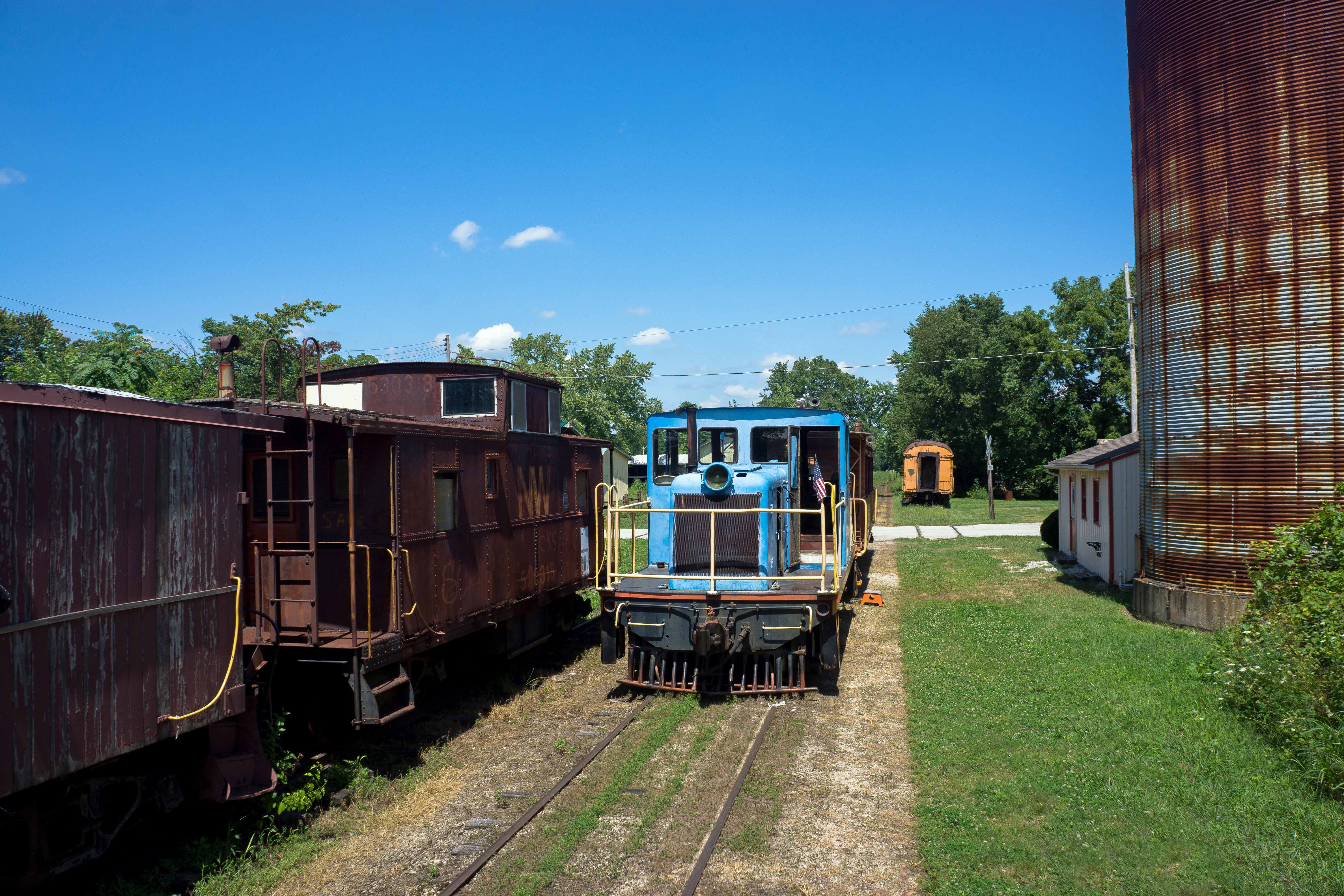
CKSRR, Carthage IN
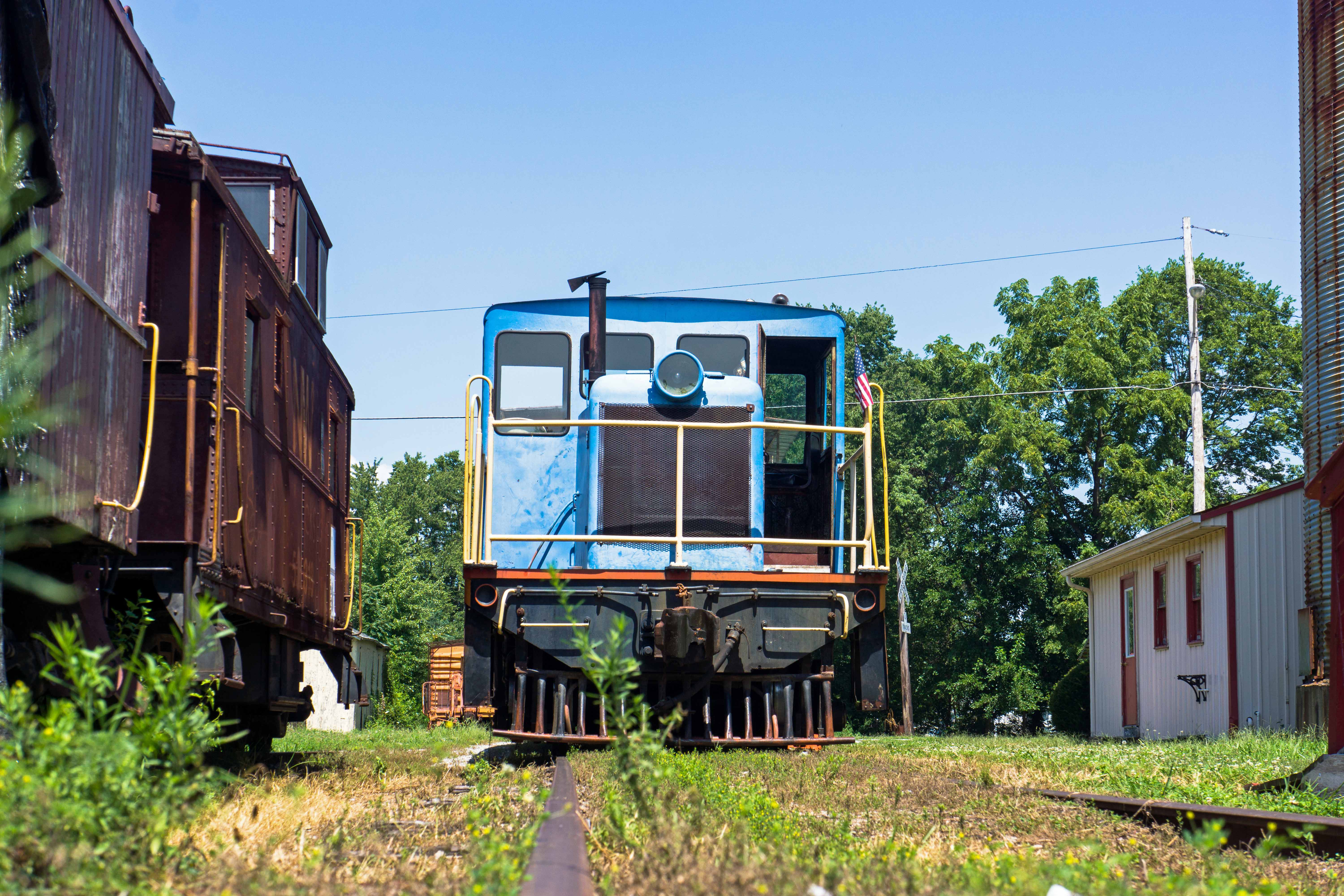
Bugs eye view of 45 tonner, Carthage IN

Hoosier Gym Locker Room
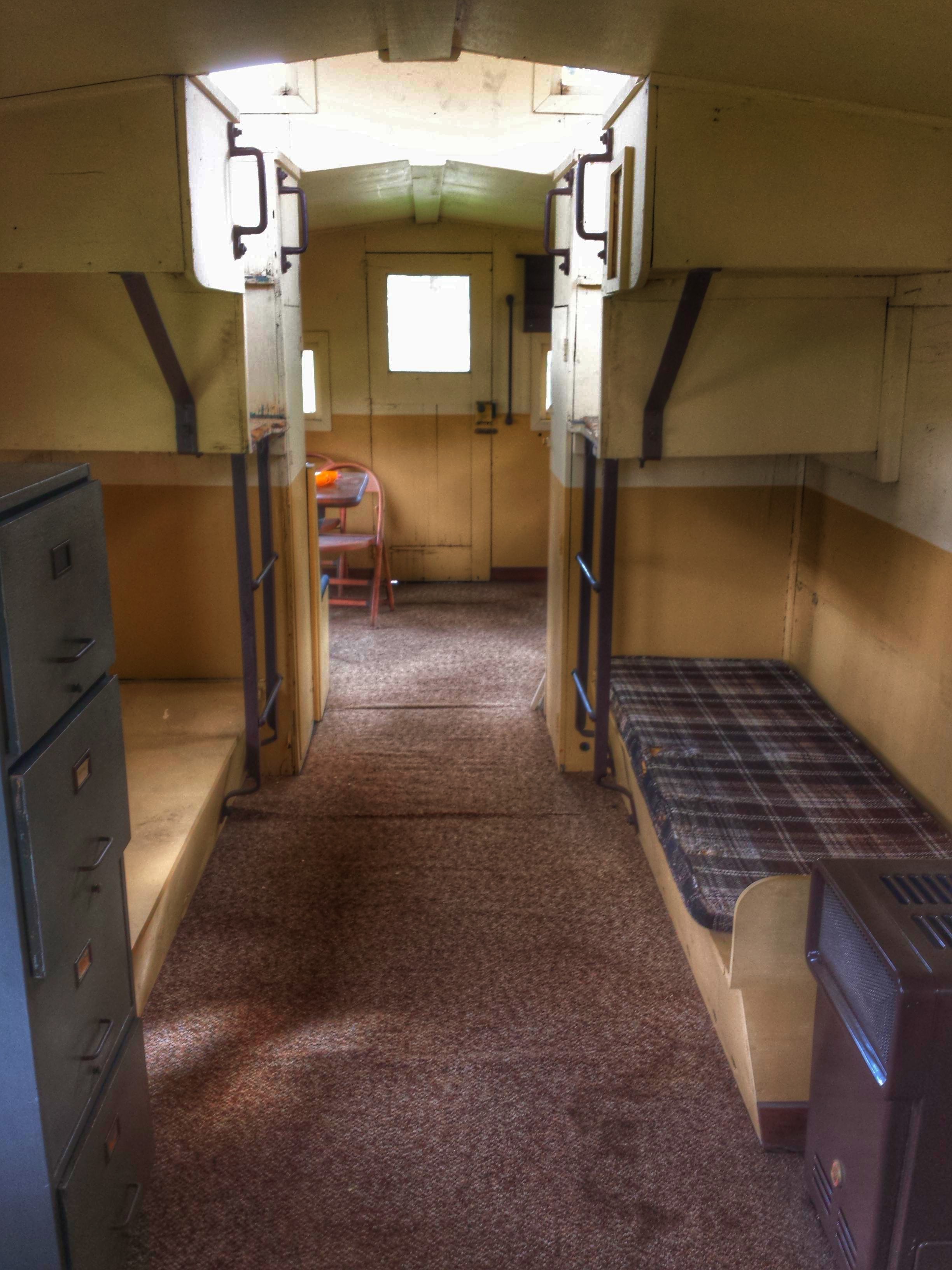
Junction Railroad Depot- Morristown IN (3)

CKSRR, near Carthage IN

_MG_5001-view from the roof-cropped

_MG_4996-view from the roof-cropped
Moving from Burlington, IA to Ephrata, PA
Stopped on 70 in construction traffic
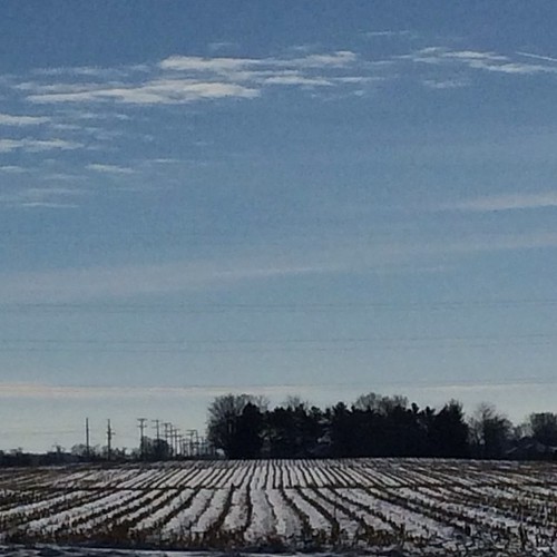
Summer Day, Indiana
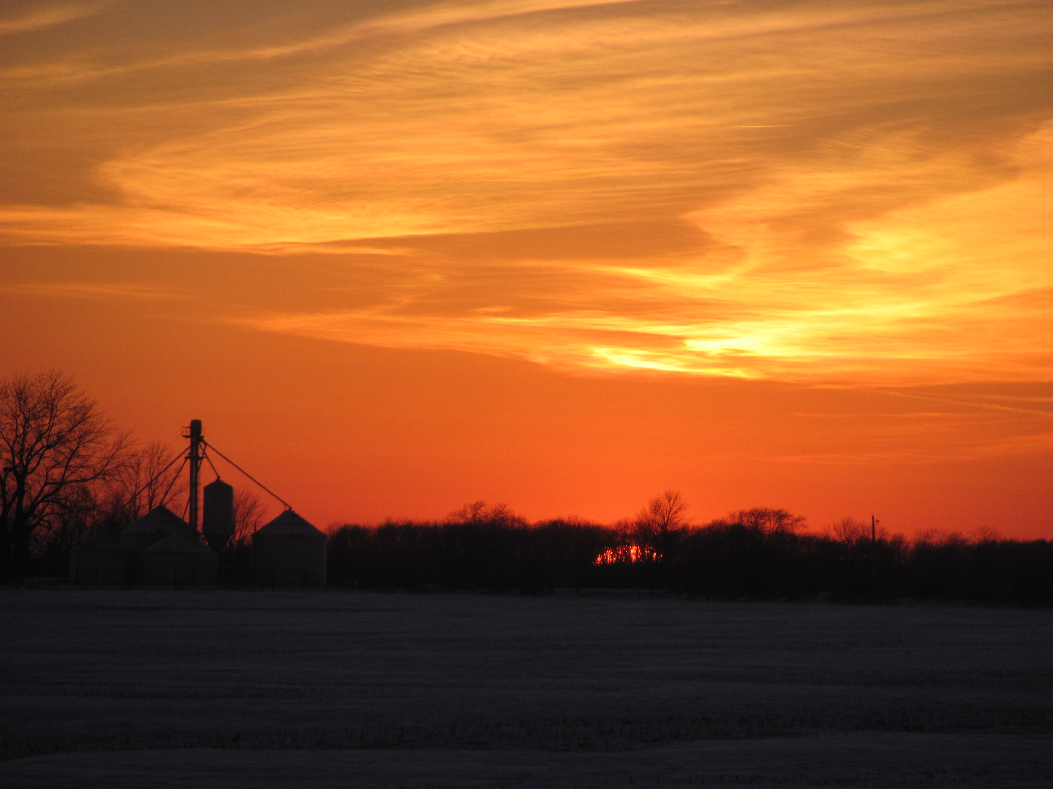
New Palestine Sunset
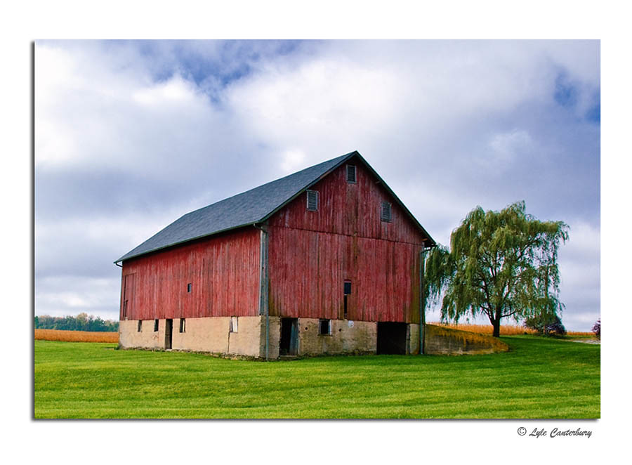
Rustic Red Barn

hedge in november - 2011
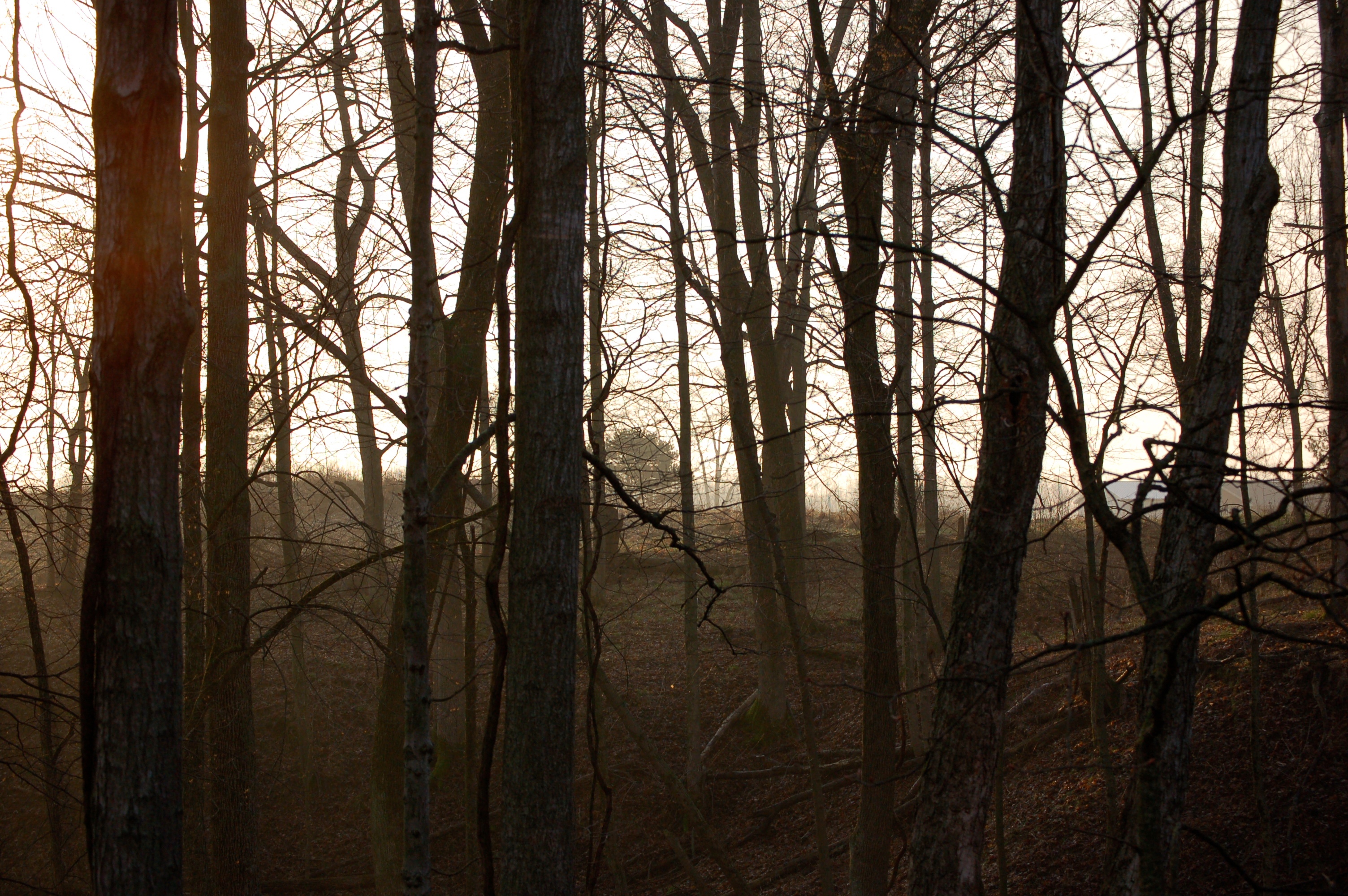
Mist Through Trees

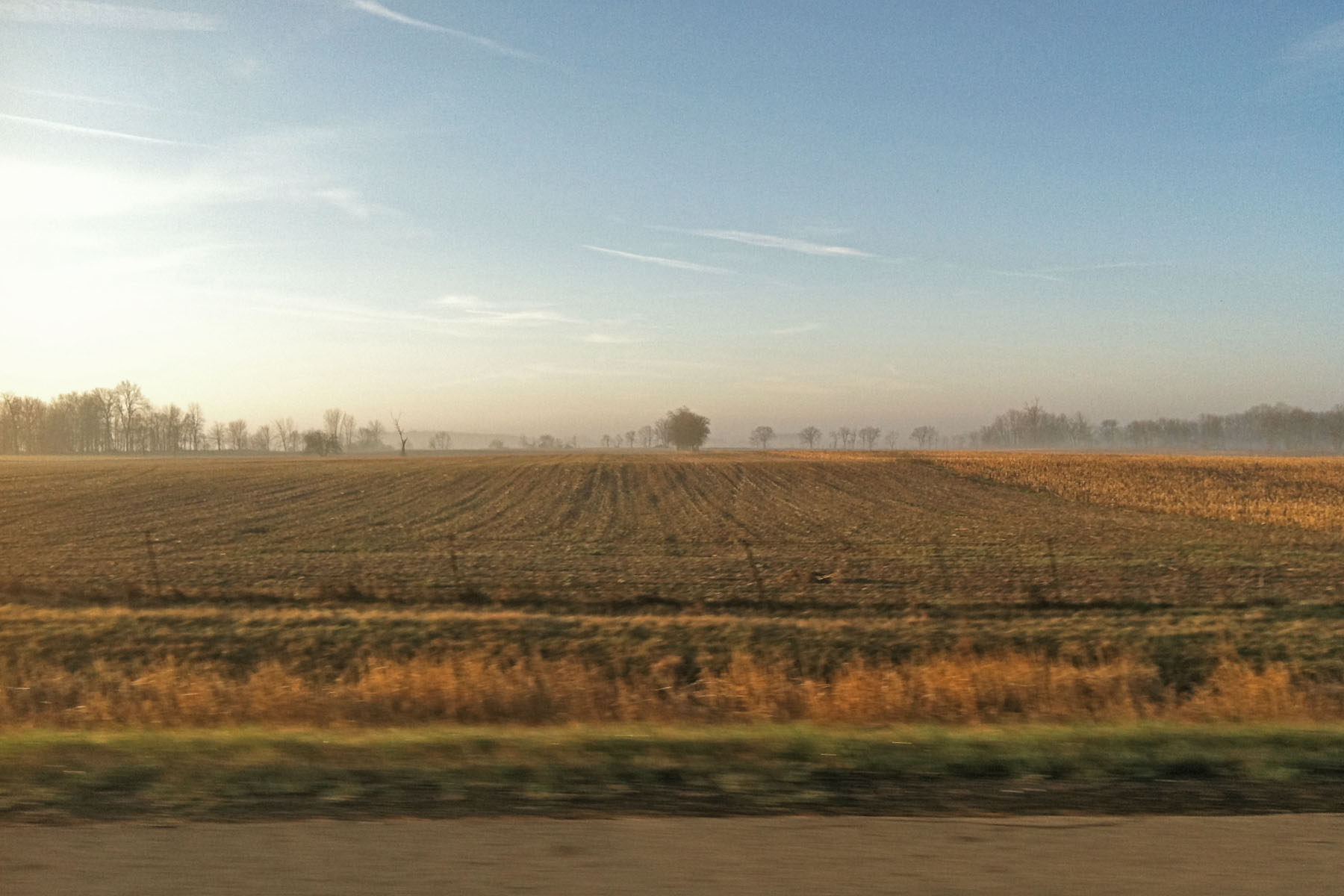
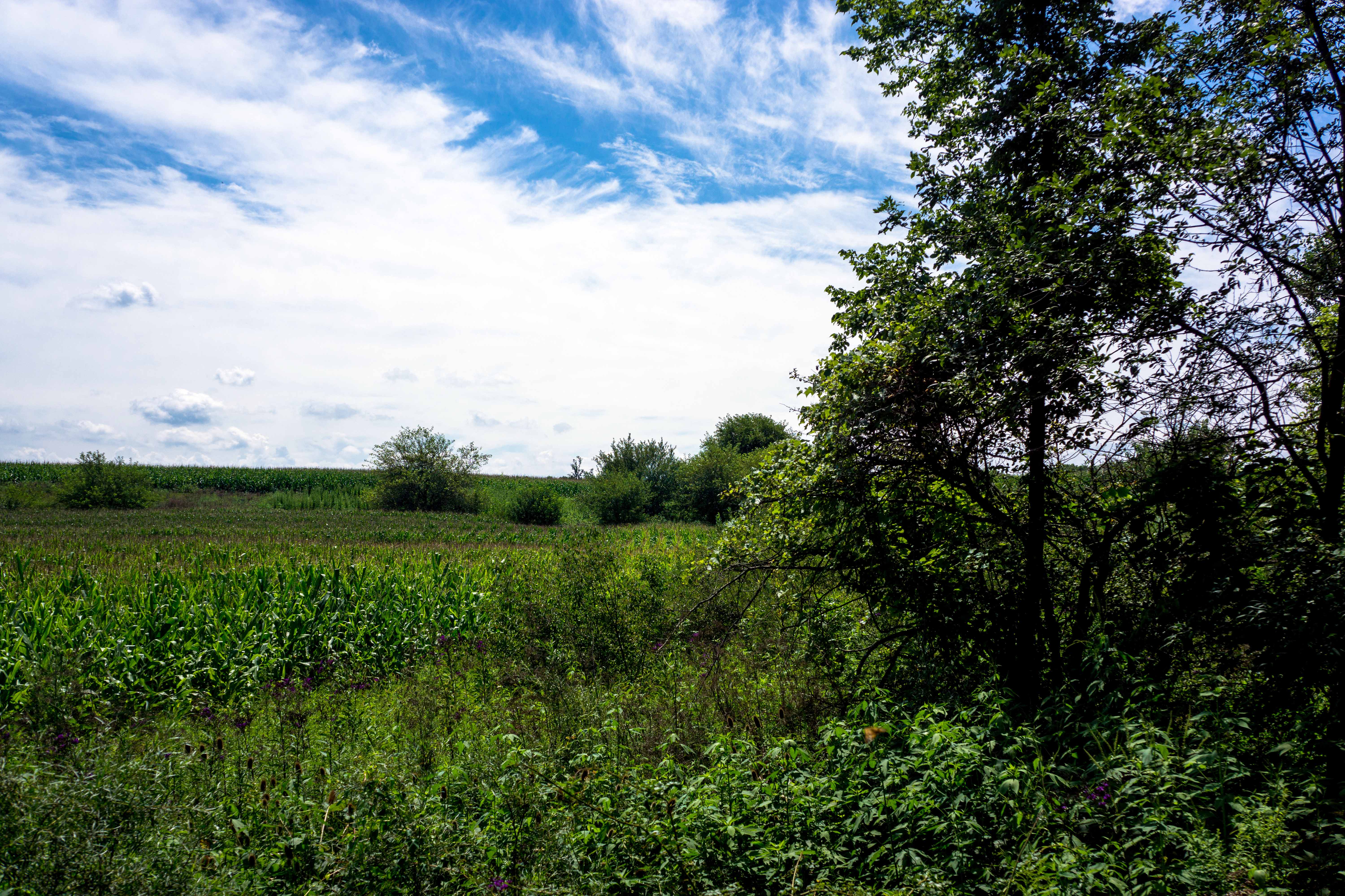
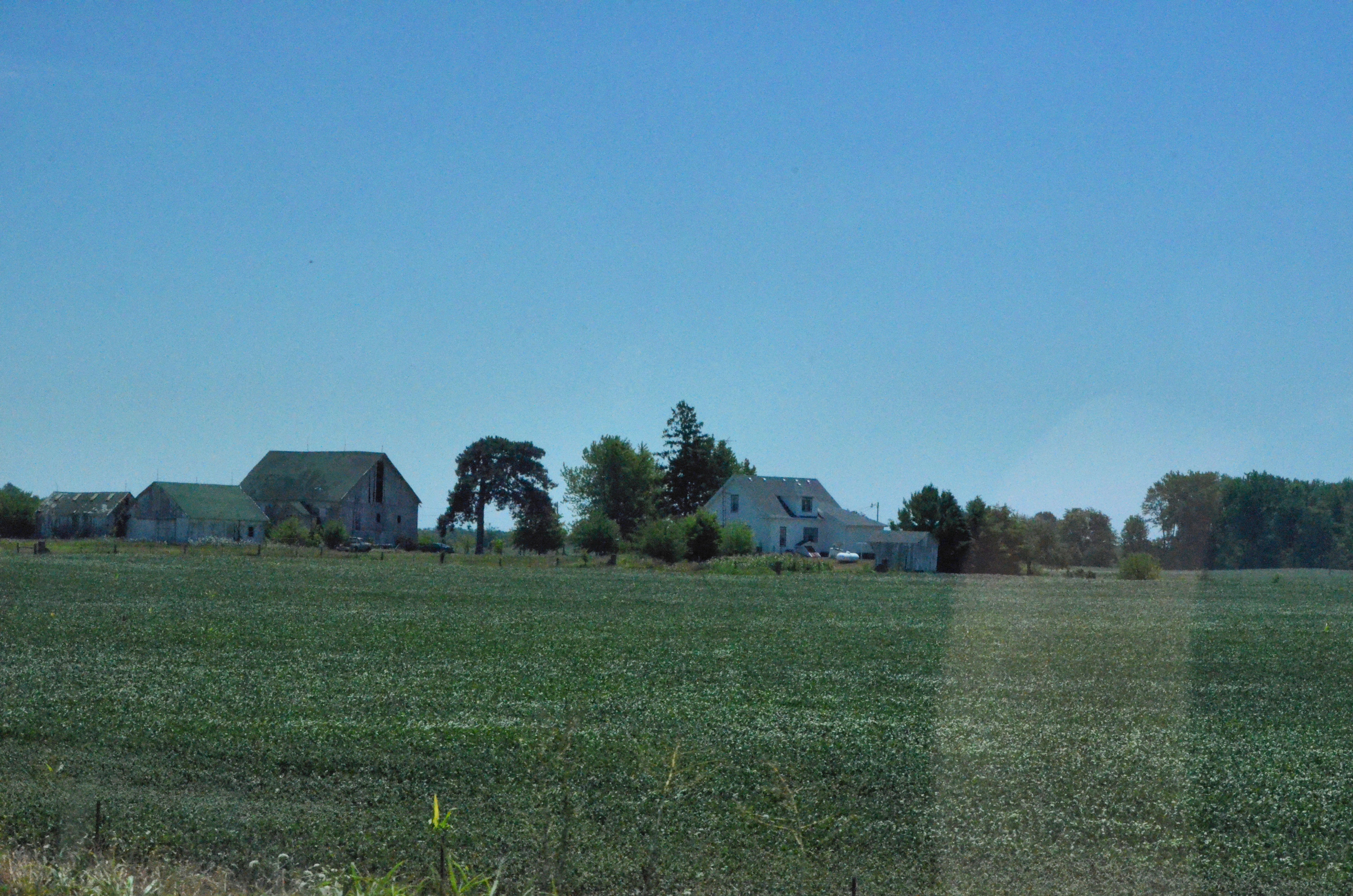
Landscape, Greenfield, Indiana
2012-07-21 (19) from West Layfayette IN to Ohio

2015 apprenticeship from Sarah
2015 apprenticeship from Sarah
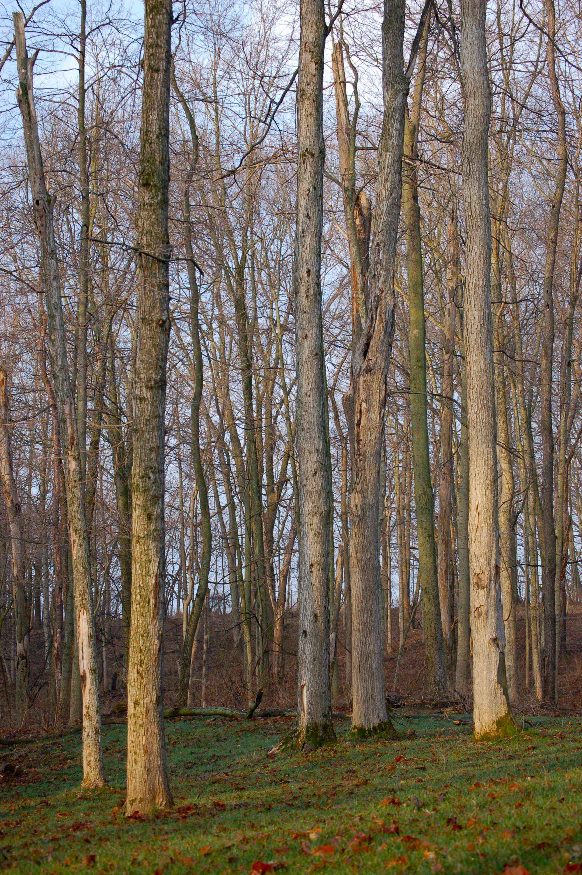
Trees at Sunrise
Topographic Map of Blue River Township, IN, USA
Find elevation by address:

Places near Blue River Township, IN, USA:
E S, Greenfield, IN, USA
9338 W 900 N
27 E North St, Charlottesville, IN, USA
E US Hwy 40, Greenfield, IN, USA
Ripley Township
Carthage
508 N Main St
N Main St, Carthage, IN, USA
White Oak Dr, Greenfield, IN, USA
213 White Oak Dr
Greenfield
Brandywine
N Main St, Willow Branch, IN, USA
Willow Branch
11367 N Carthage Pike
S Main St, Wilkinson, IN, USA
Wilkinson
36 E Main St, Knightstown, IN, USA
Knightstown
Wayne Township
Recent Searches:
- Elevation of Congressional Dr, Stevensville, MD, USA
- Elevation of Bellview Rd, McLean, VA, USA
- Elevation of Stage Island Rd, Chatham, MA, USA
- Elevation of Shibuya Scramble Crossing, 21 Udagawacho, Shibuya City, Tokyo -, Japan
- Elevation of Jadagoniai, Kaunas District Municipality, Lithuania
- Elevation of Pagonija rock, Kranto 7-oji g. 8"N, Kaunas, Lithuania
- Elevation of Co Rd 87, Jamestown, CO, USA
- Elevation of Tenjo, Cundinamarca, Colombia
- Elevation of Côte-des-Neiges, Montreal, QC H4A 3J6, Canada
- Elevation of Bobcat Dr, Helena, MT, USA