Elevation of Halloran Springs Rd, Barstow, CA, USA
Location: United States > California > San Bernardino County > Barstow >
Longitude: -115.89315
Latitude: 35.372445
Elevation: 894m / 2933feet
Barometric Pressure: 91KPa
Elevation Map:
Satellite Map:
Related Photos:
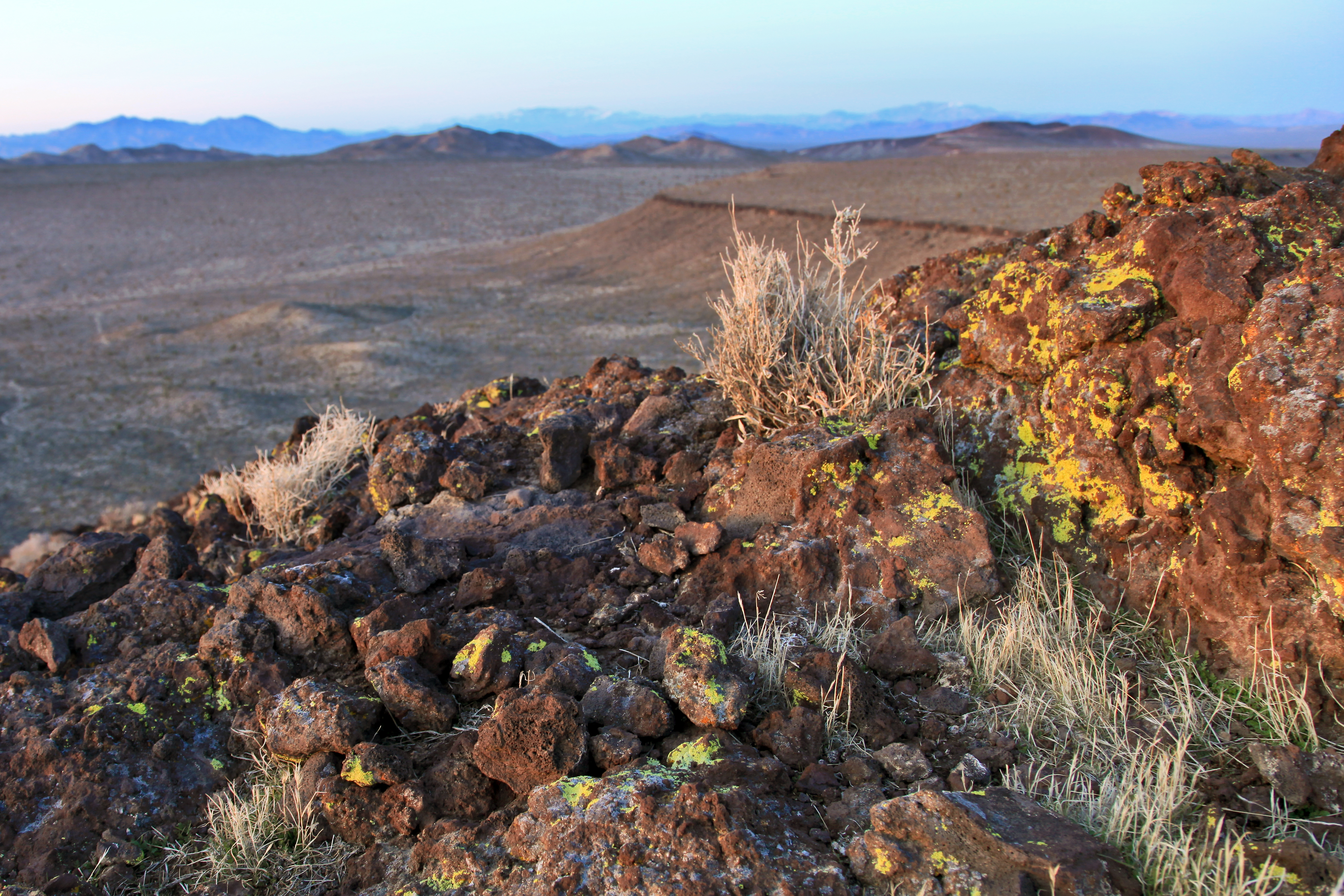
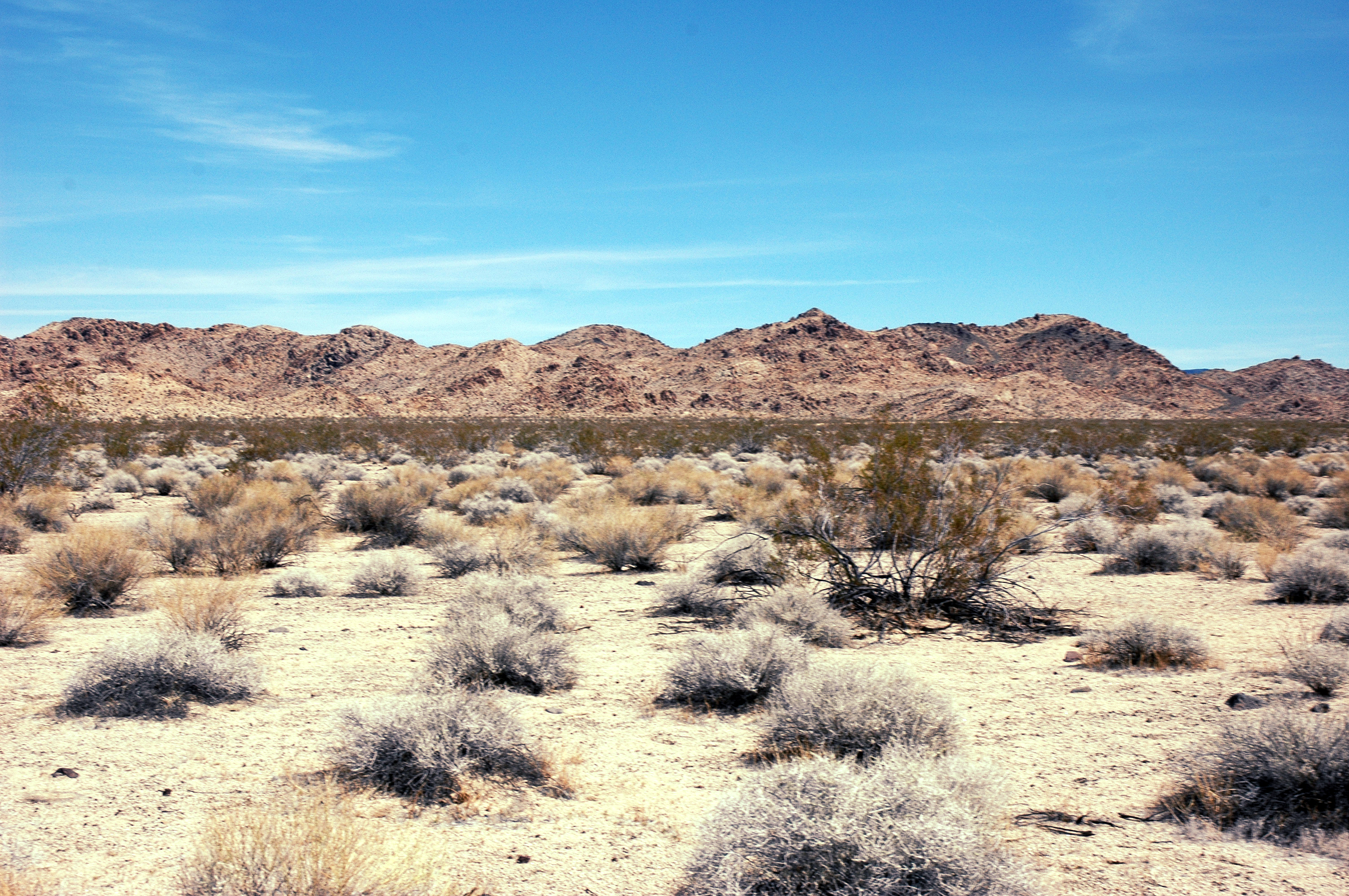
Turquoise Hills summit view
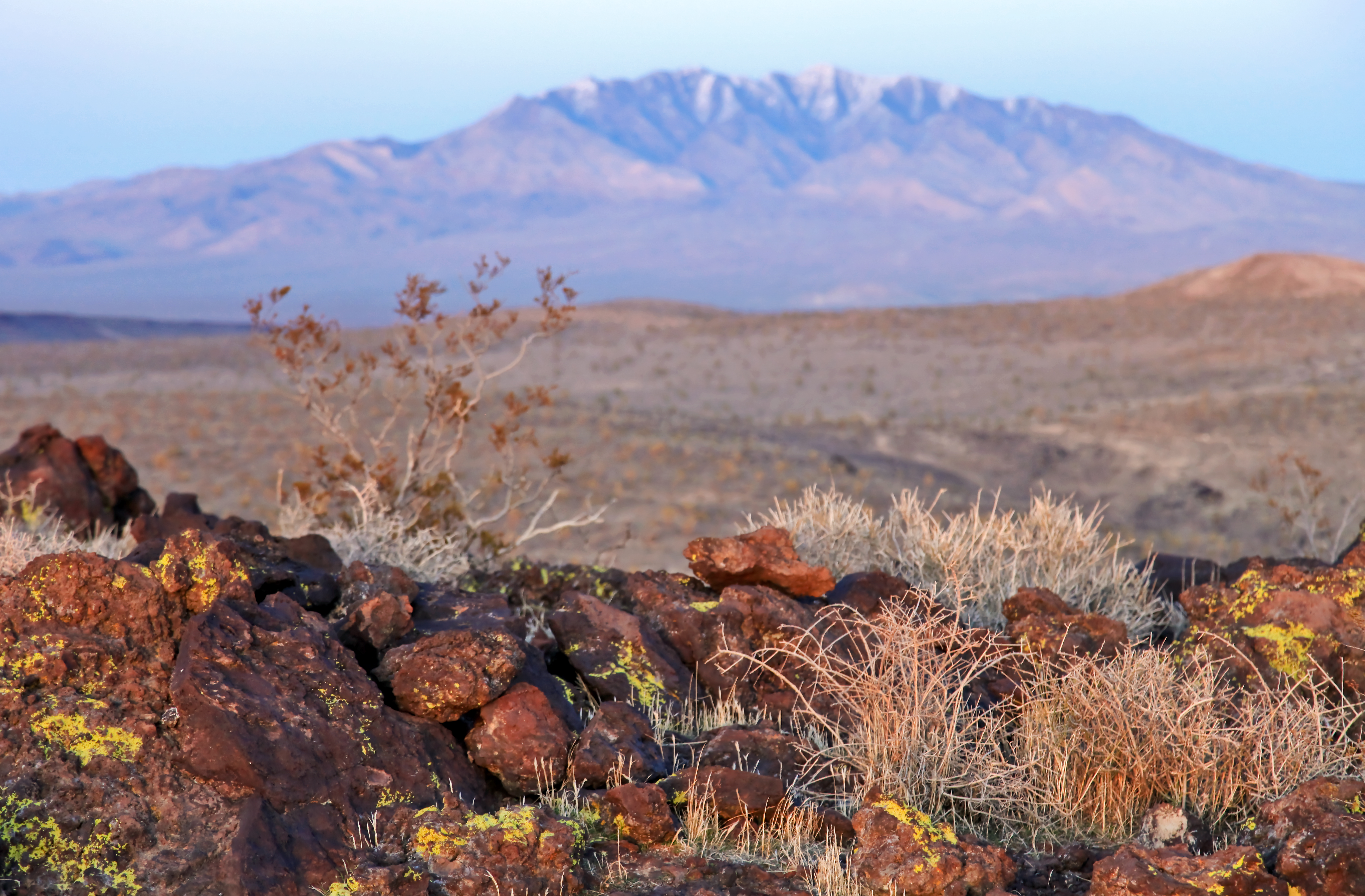
View south to Cave Mountain
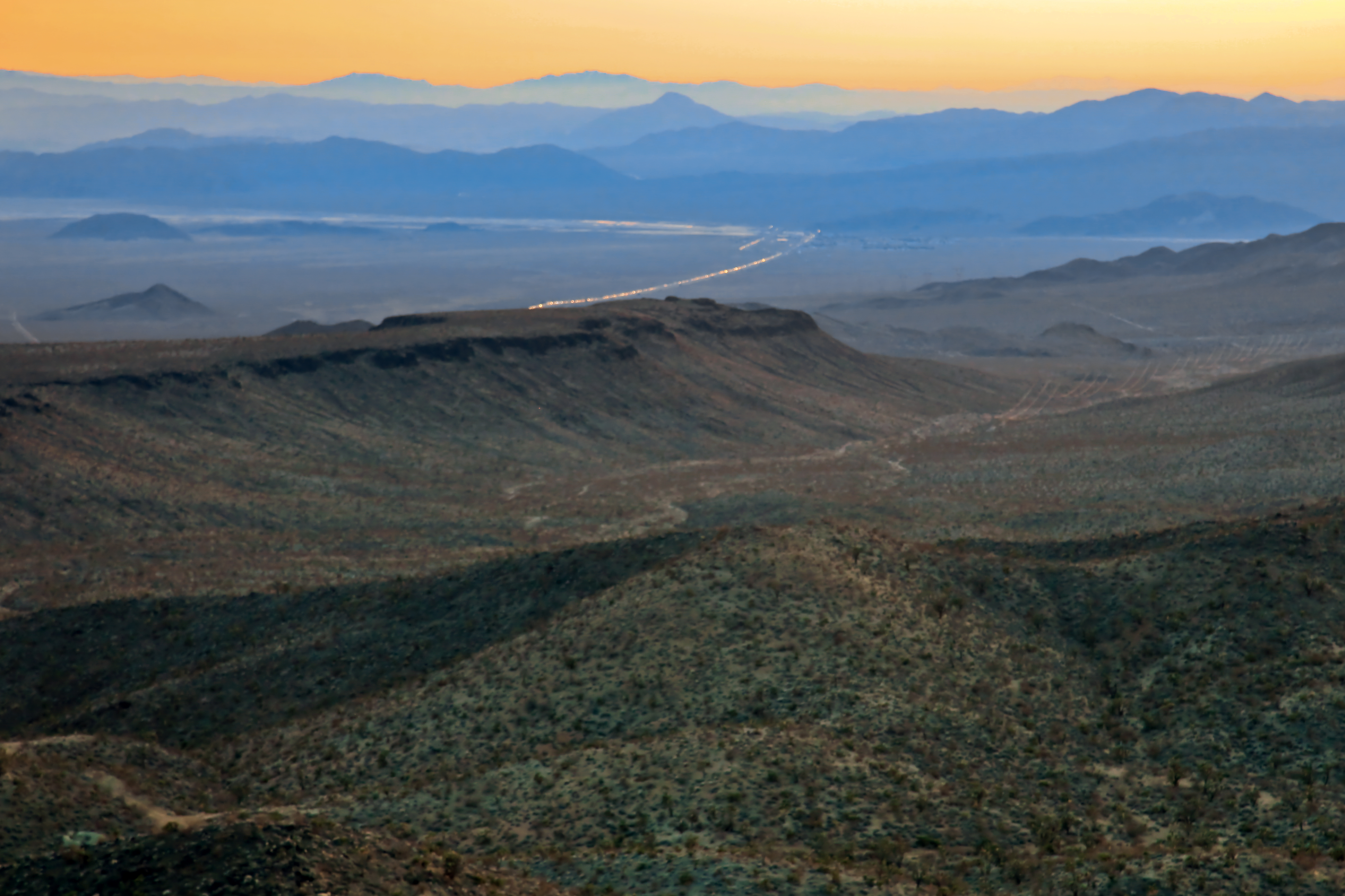
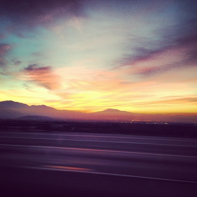
I-15 from the Turquoise Hills at sunset
View southeast to San Jacinto Mountain from Club Peak
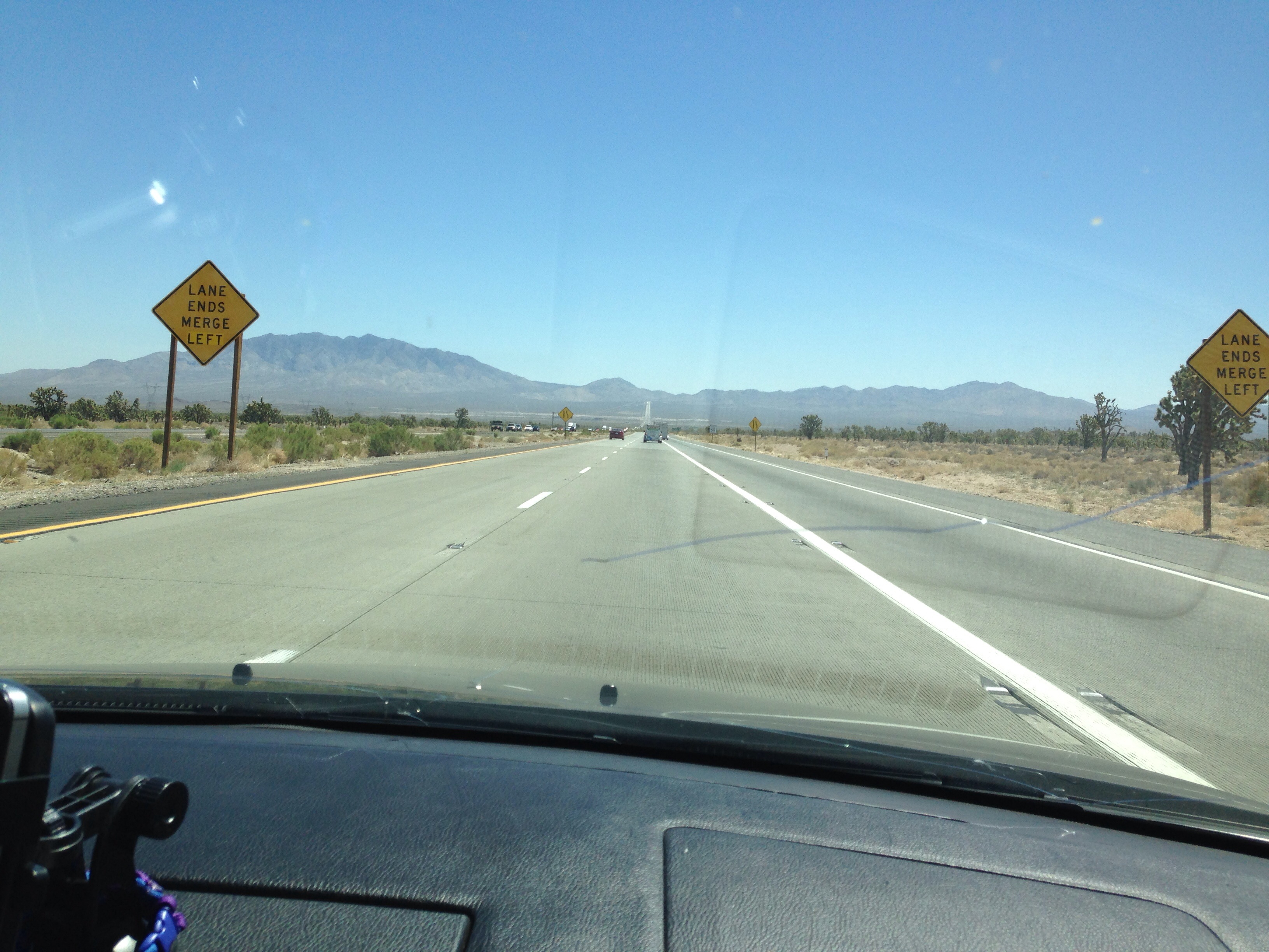
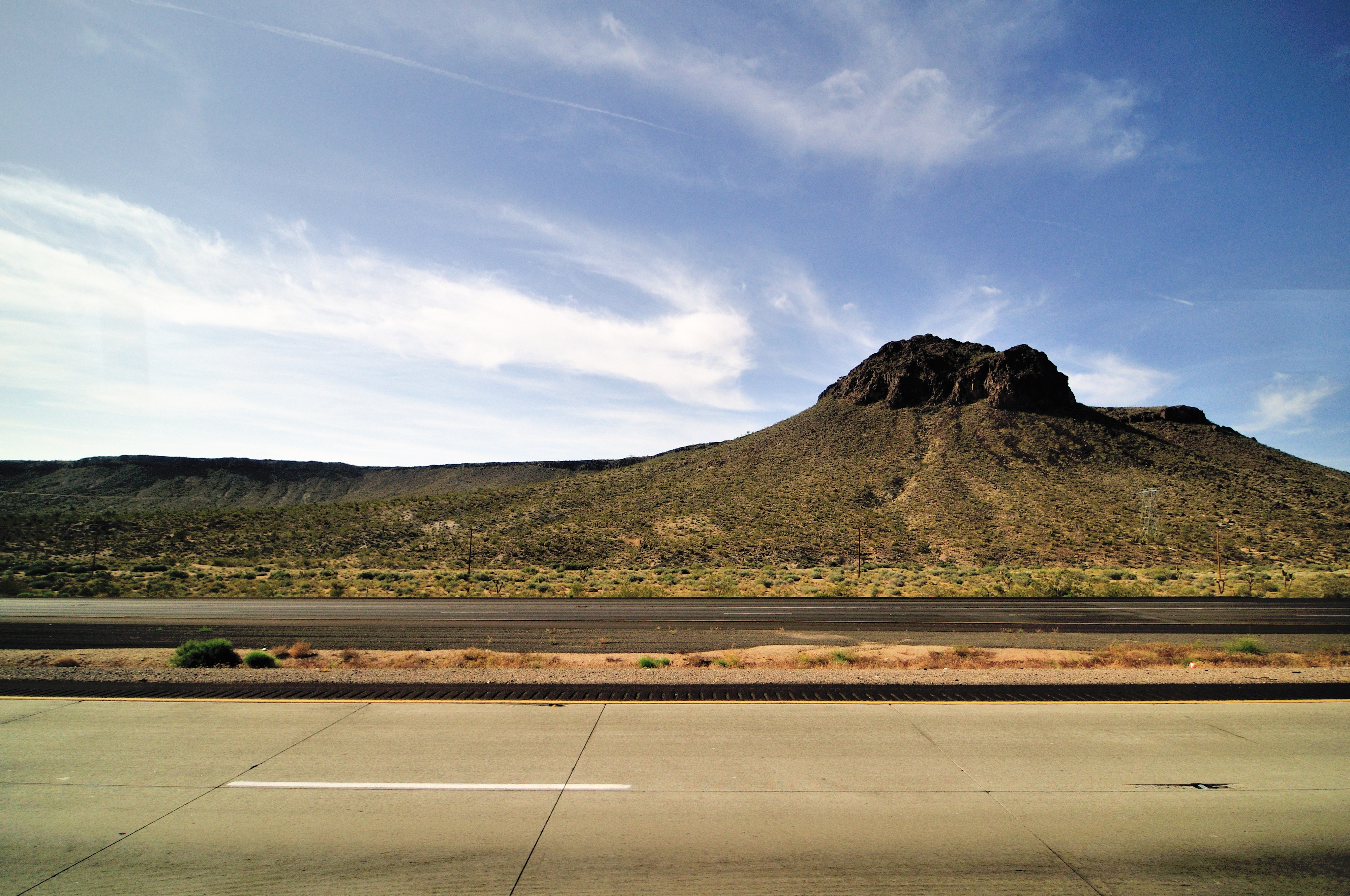
Nice view of the straight freeway ahead of us
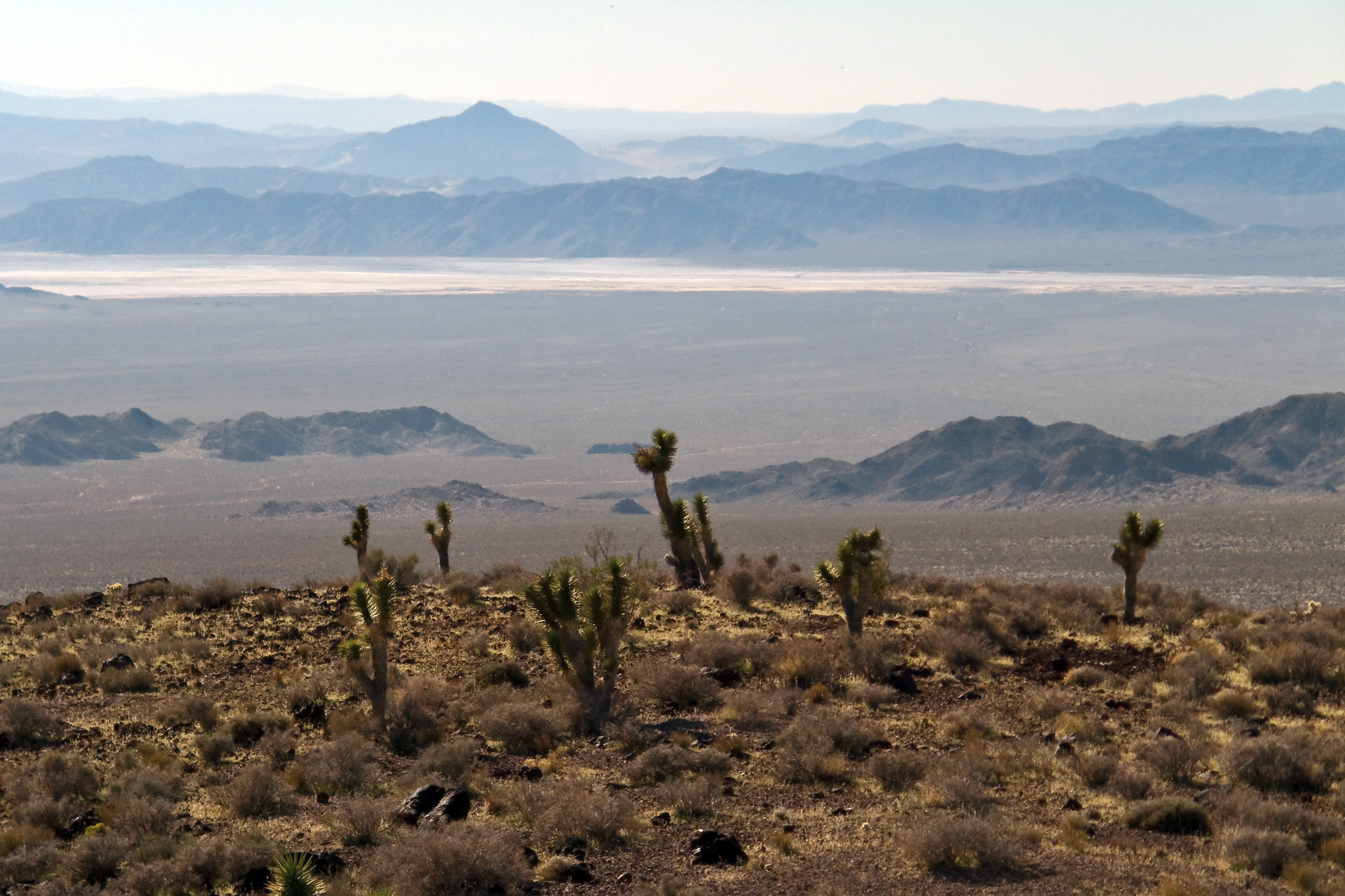
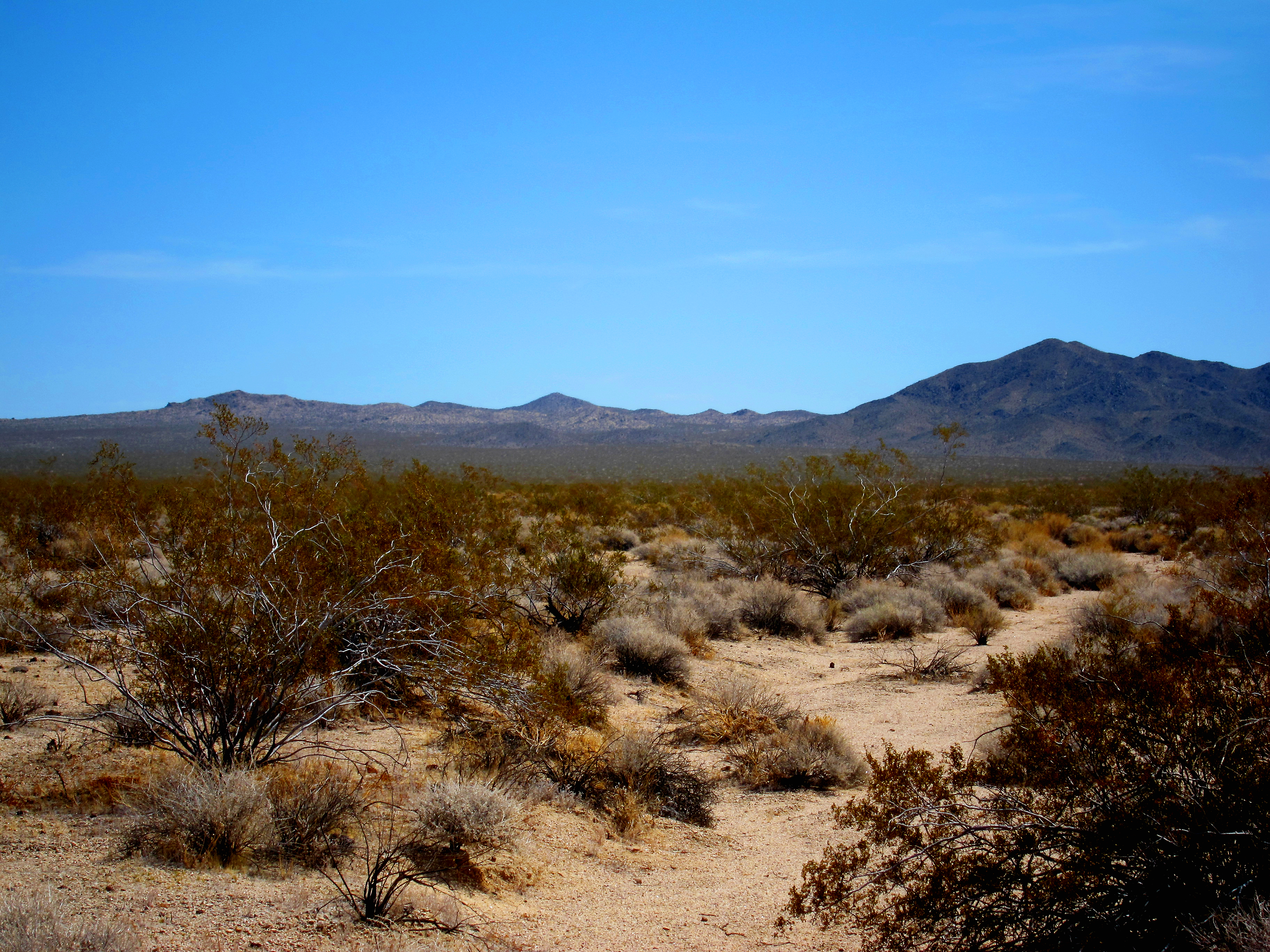
View southwest through the Preserve
View WNW from Club Peak
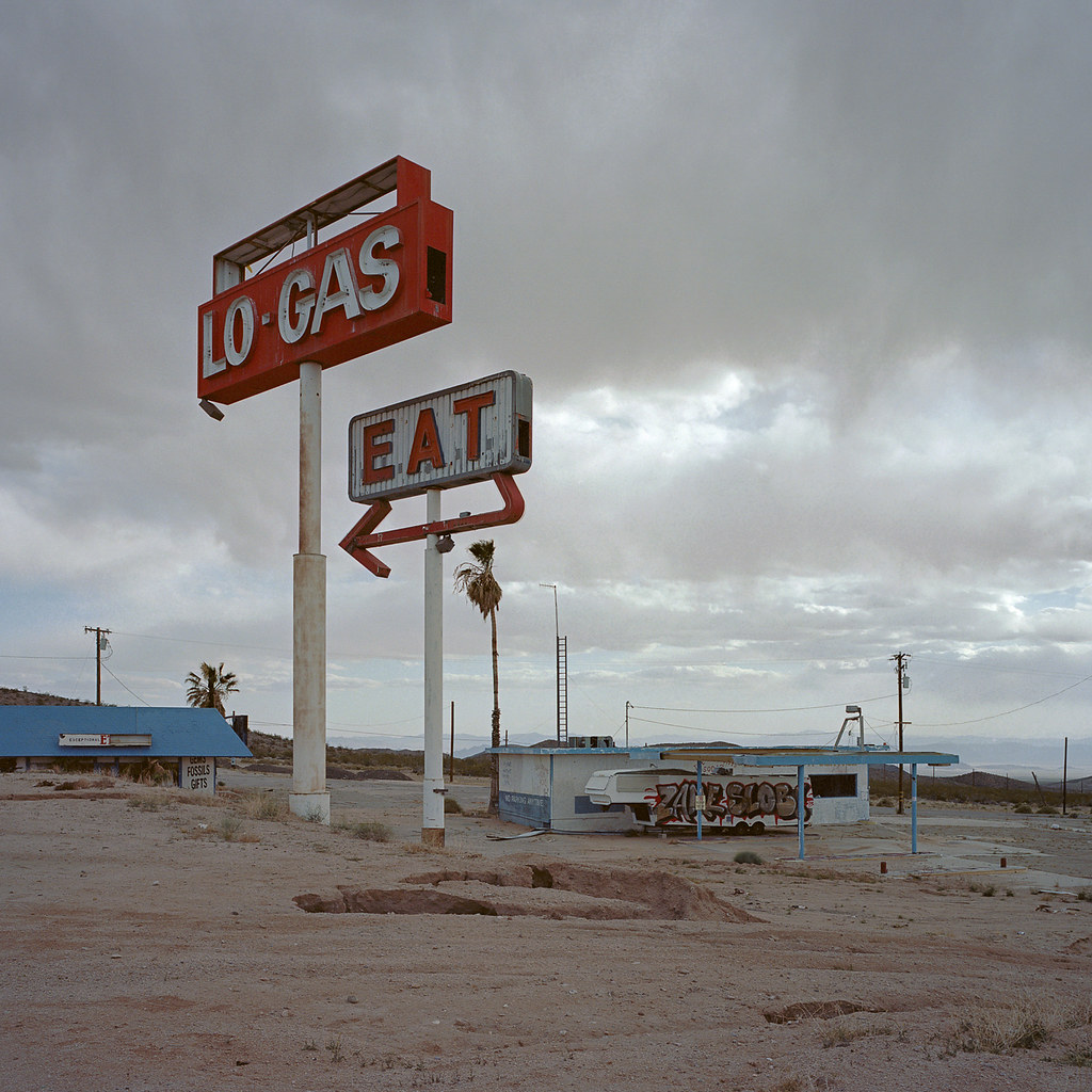
lo-gas eat #2. halloran summit, ca. 2013.

lo-gas eat #1. halloran summit, ca. 2013.
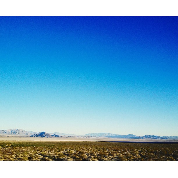
Dry Mojave Day

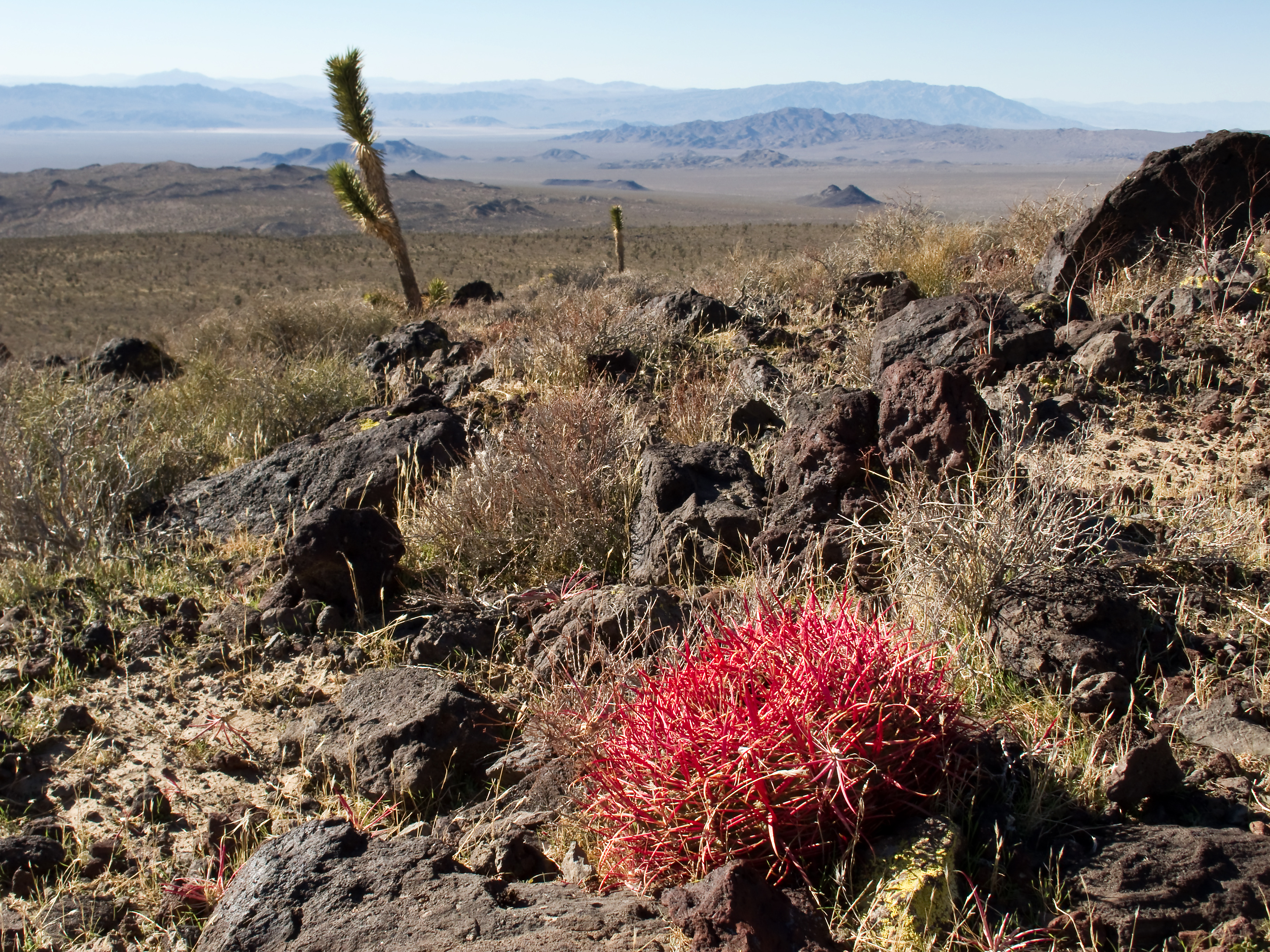
I've Been For Sometime, Looking For Someone
Clark Mountain from Solomon's Knob v.2

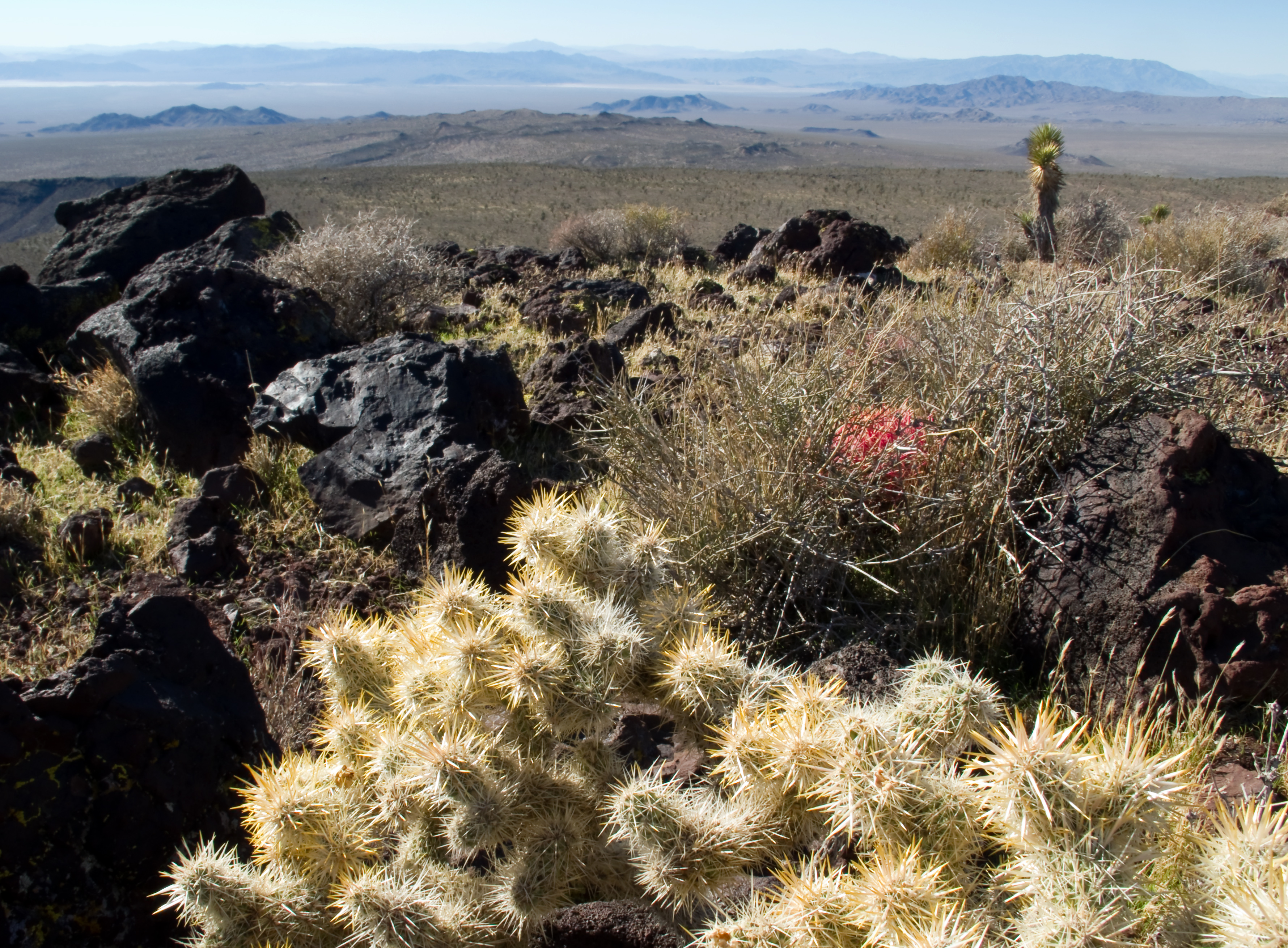
Hedgehog Cactus, Turquoise Hills
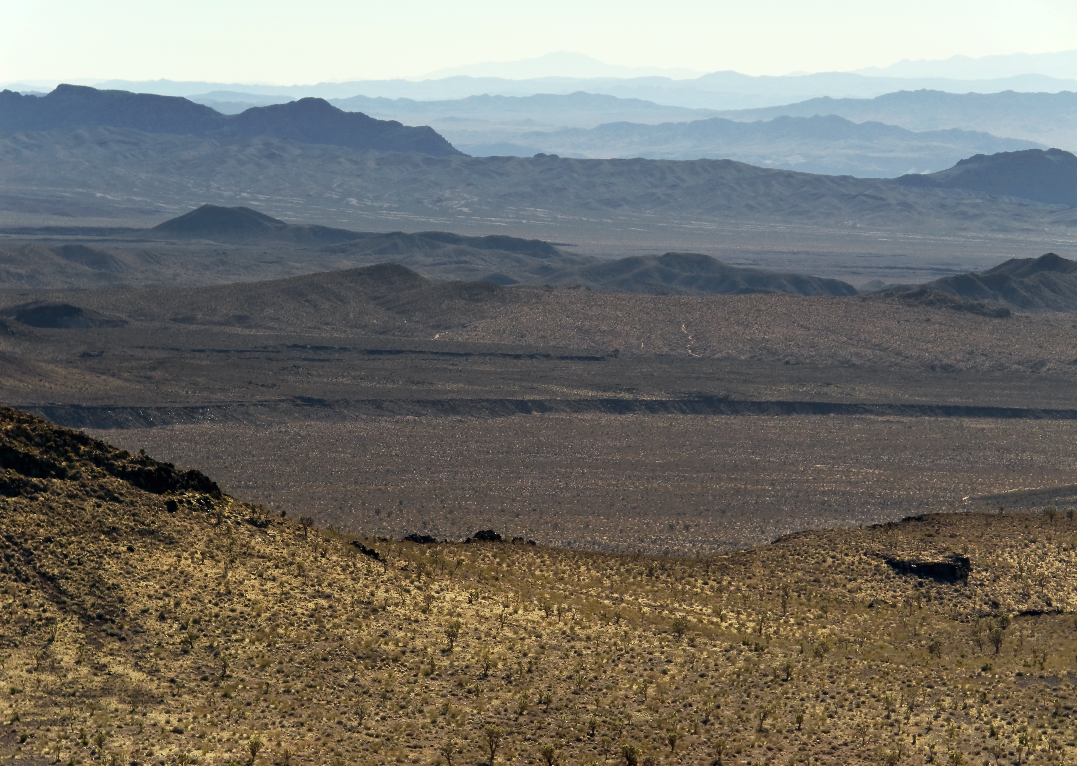
More Mojave
MDNP 7
Always a fan of afternoon #chiaroscuro, especially whilst driving! #latergram

USA-20120503-002948

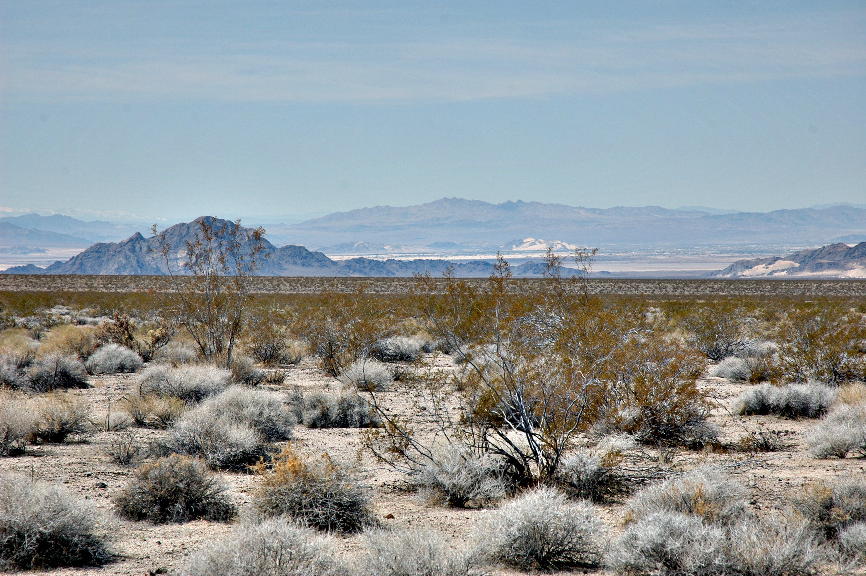
Vegas/L.A.
Joshua Tree 1
Almost up
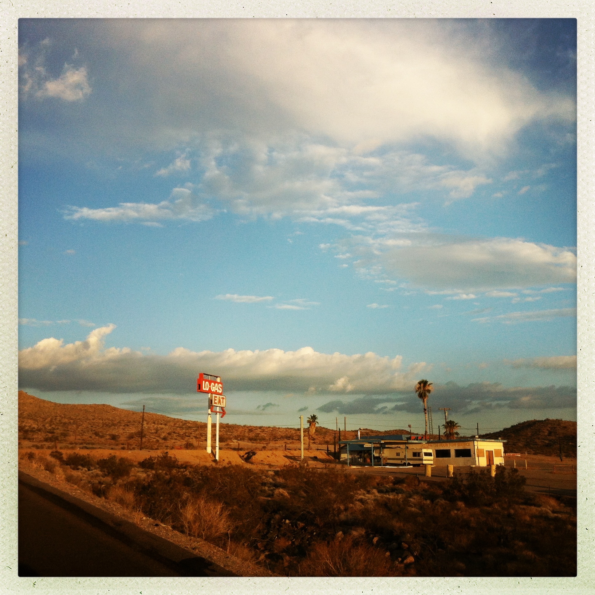
Food and gas (not necessarily correlated eachother)
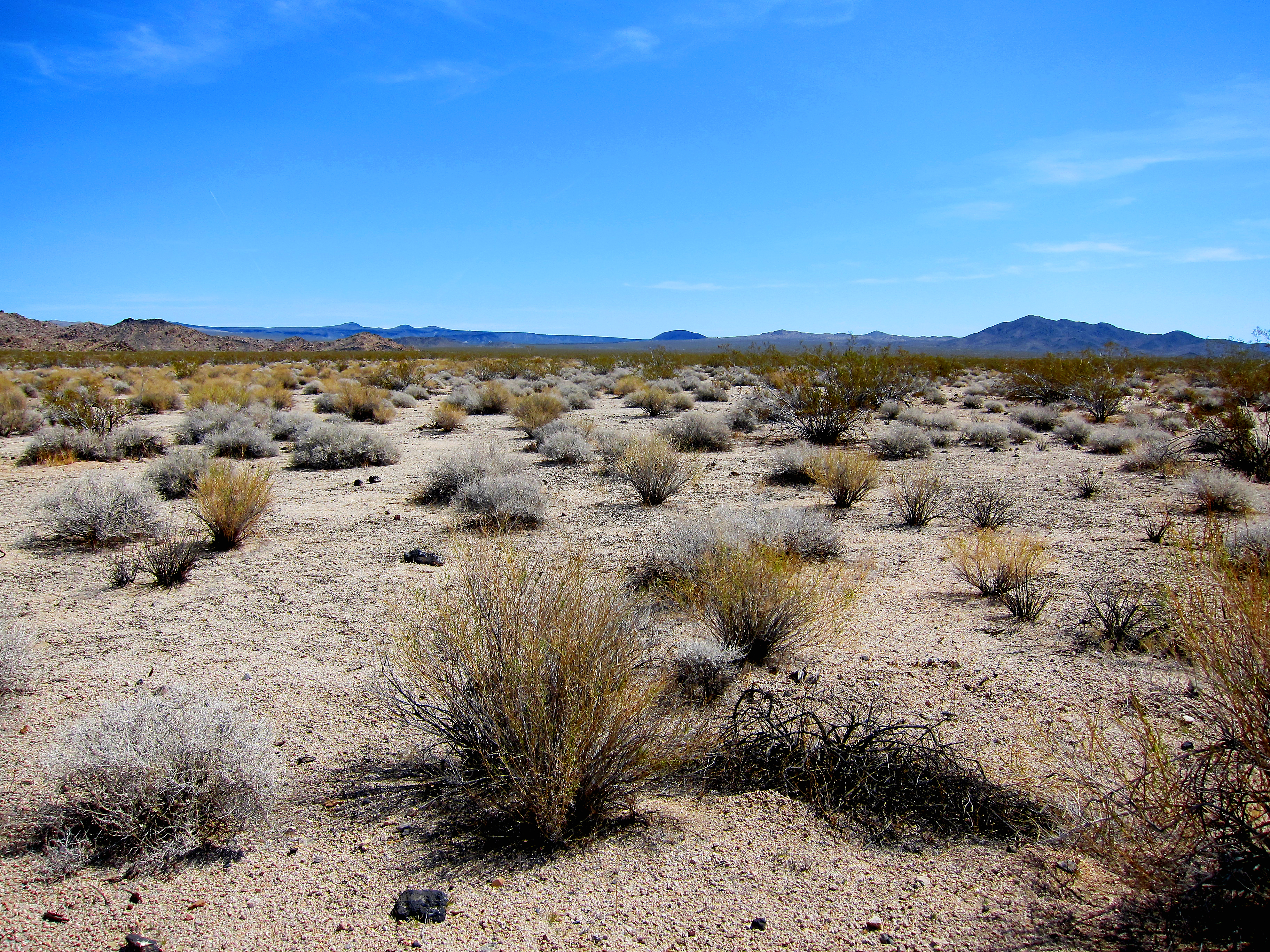
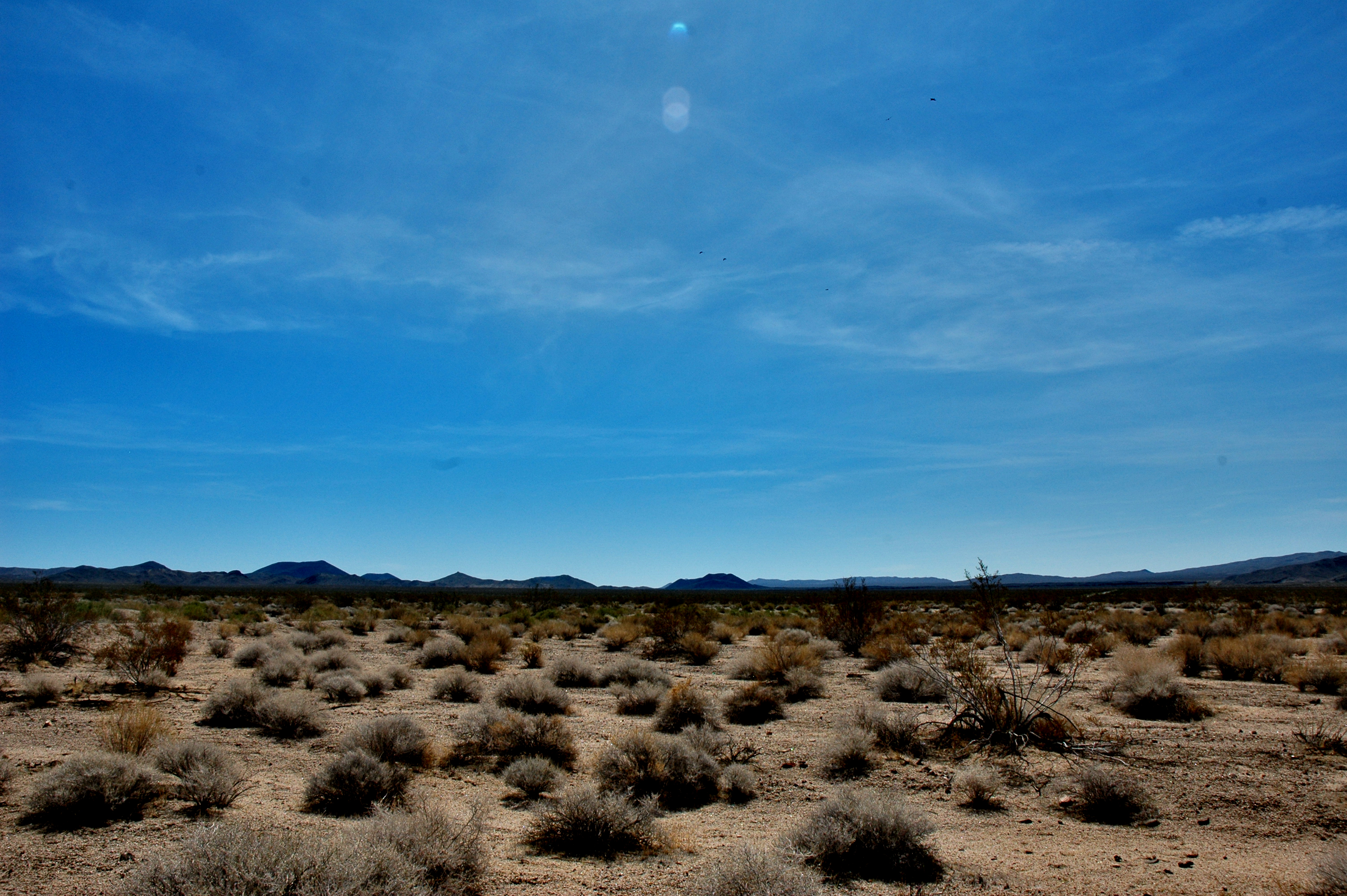
Wide Open Mojave
USA-20120501-075352
Anywhere Out There
Nerd time!!! #CES #VEGAS
Road to ruin #vscocam
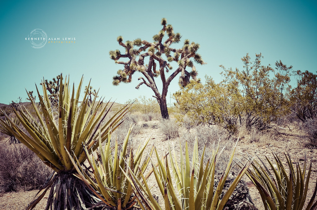
Joshua Tree - Vintage
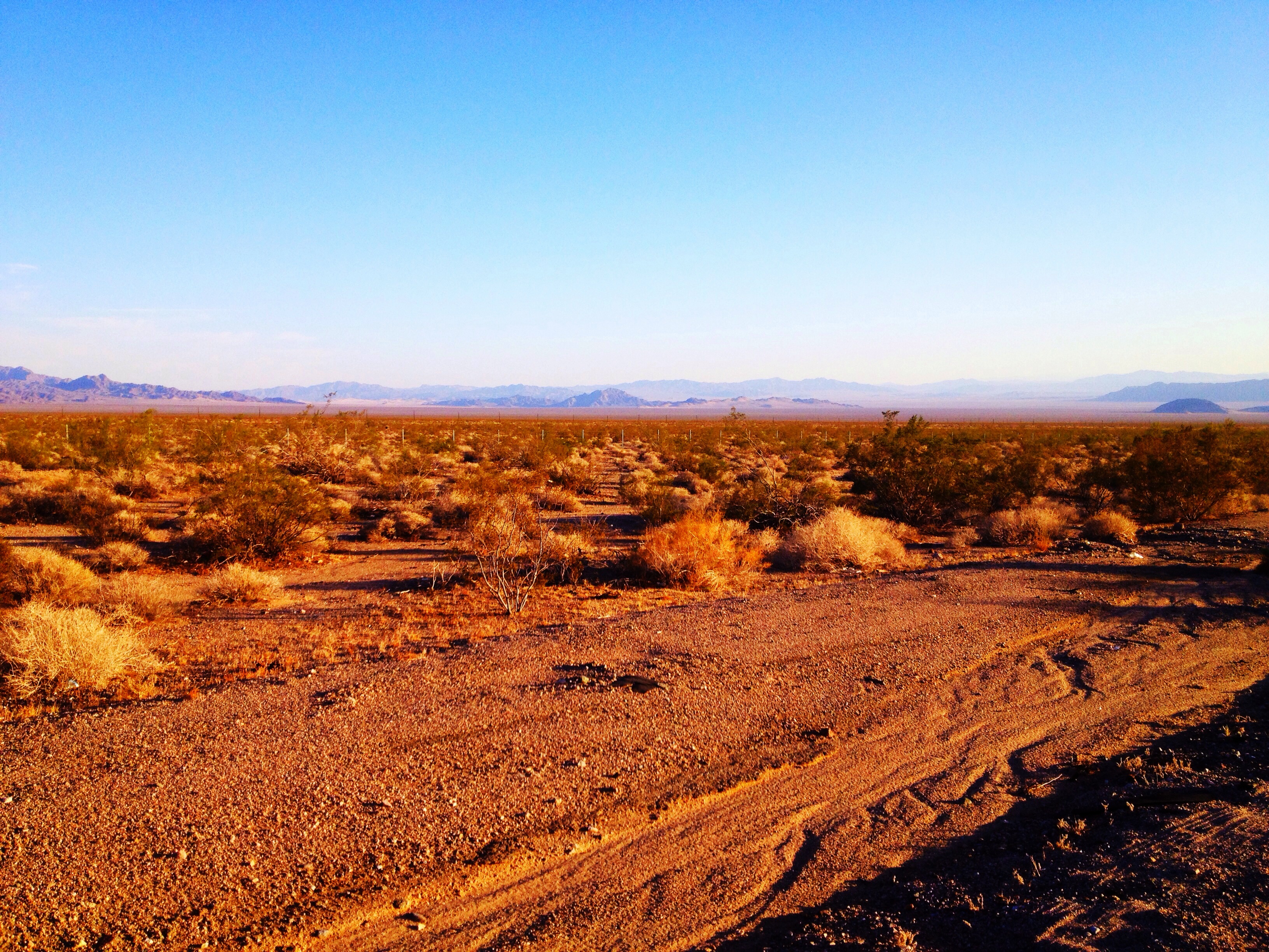
Mojave Desert
Topographic Map of Halloran Springs Rd, Barstow, CA, USA
Find elevation by address:

Places near Halloran Springs Rd, Barstow, CA, USA:
Halloran Springs
Baker
9708 Death Valley Rd
Xeno Road
Clark Mountain
Mescal Range Hp
Kingston Peak
Mountain Pass
Mountain Pass, CA, USA
Mountain Pass Rare Earth Mine
Cima
Wheaton Springs
Red Pass Lake
817 Lindbergh Ave
1655 Mercury Ave
1350 Potomac St
1655 Marble Ave
Sandy Valley
1504 Wood Ave
Primm
Recent Searches:
- Elevation of Co Rd 87, Jamestown, CO, USA
- Elevation of Tenjo, Cundinamarca, Colombia
- Elevation of Côte-des-Neiges, Montreal, QC H4A 3J6, Canada
- Elevation of Bobcat Dr, Helena, MT, USA
- Elevation of Zu den Ihlowbergen, Althüttendorf, Germany
- Elevation of Badaber, Peshawar, Khyber Pakhtunkhwa, Pakistan
- Elevation of SE Heron Loop, Lincoln City, OR, USA
- Elevation of Slanický ostrov, 01 Námestovo, Slovakia
- Elevation of Spaceport America, Co Rd A, Truth or Consequences, NM, USA
- Elevation of Warwick, RI, USA