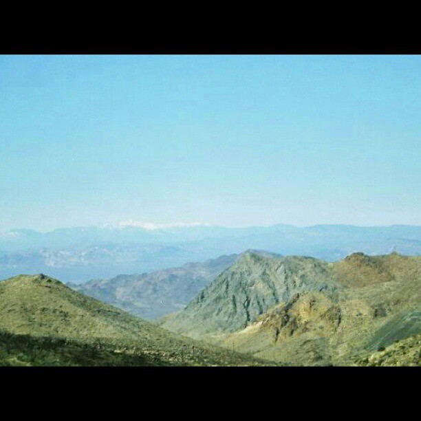
Elevation of Clark Mountain, California, USA
Location: United States > California > San Bernardino County >
Longitude: -115.58916
Latitude: 35.5252588
Elevation: 2394m / 7854feet
Barometric Pressure: 76KPa
Elevation Map:
Satellite Map:
Related Photos:
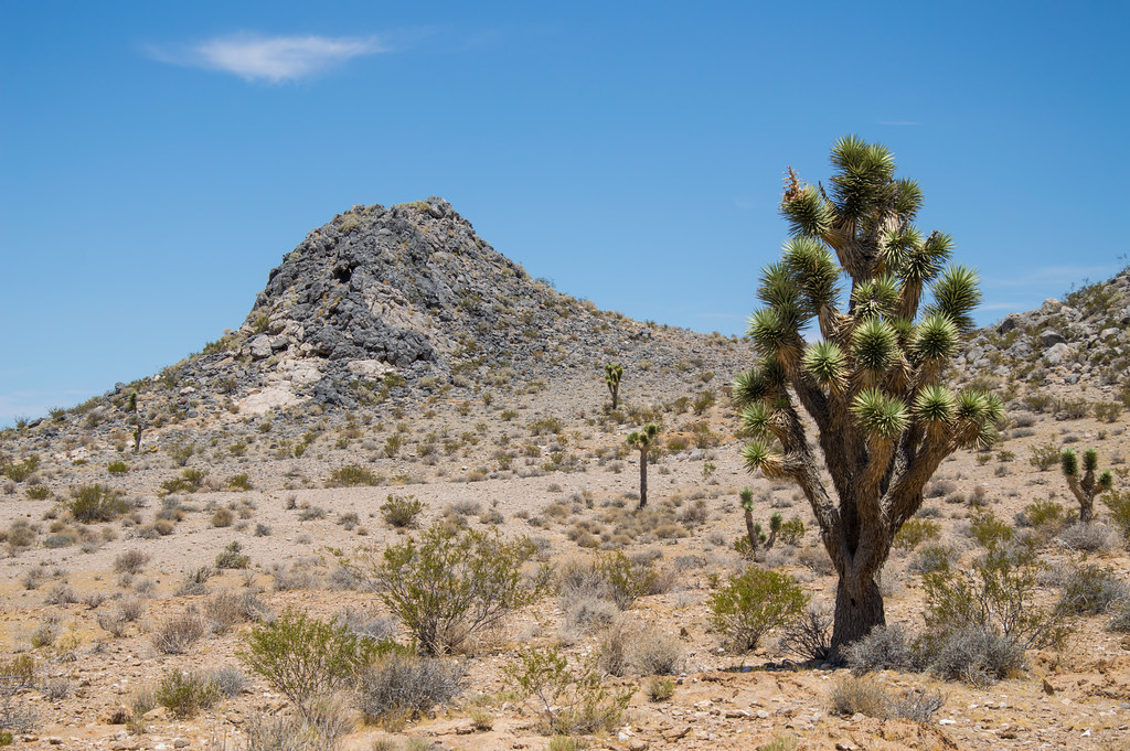
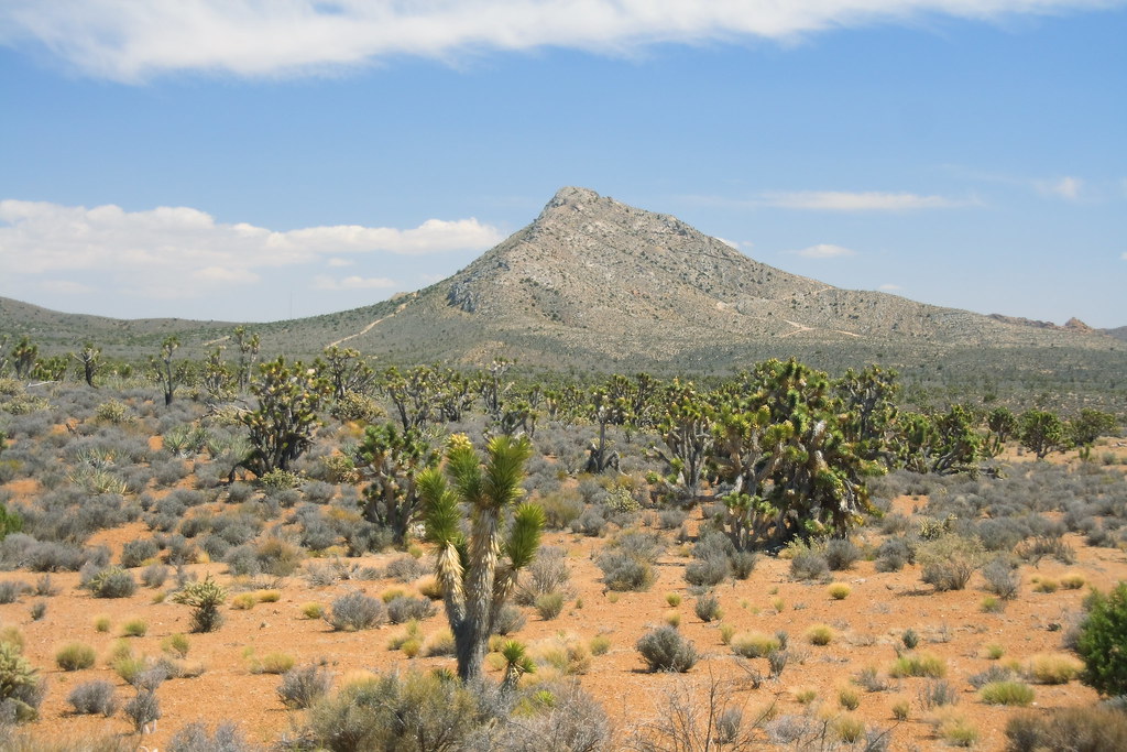
Desert View - Mojave National Preserve - San Bernardino County - California - 13 July 2014

Desert View - Mojave National Preserve - San Bernardino County - California - 13 July 2014

Desert View - Mojave National Preserve - San Bernardino County - California - 13 July 2014
Kokoweef Peak

watch for tortoise. valley wells station, ca. 2013.
Nipton Nabe

Mojave Desert Graves
The Watchers
View from old Excelsior Mine in #California. #travel #mine #landscape #scenic #hiking #hike #igers #mountain #mountains #jeep #trail #outdoors

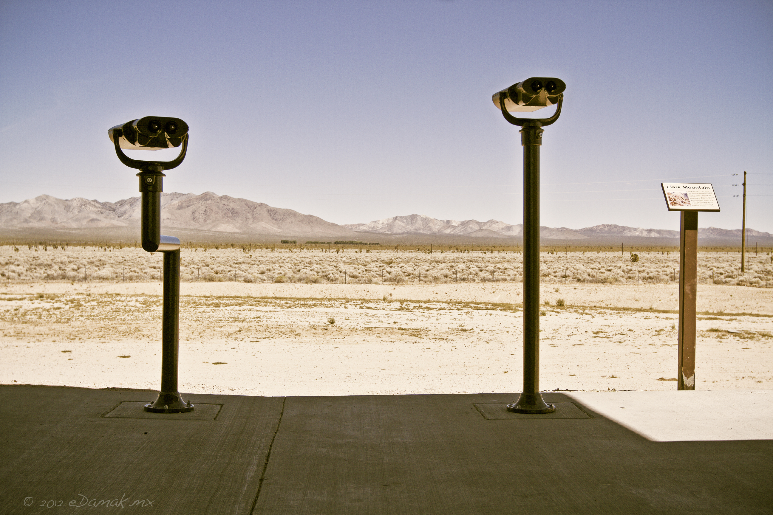
View from Valley Wells Rest Stop, California
Topographic Map of Clark Mountain, California, USA
Find elevation by address:

Places near Clark Mountain, California, USA:
Mountain Pass
Mountain Pass, CA, USA
Mountain Pass Rare Earth Mine
Mescal Range Hp
Xeno Road
Wheaton Springs
Primm
Buffalo Bill's Resort & Casino
817 Lindbergh Ave
Sandy Valley
Cima
1655 Mercury Ave
1350 Potomac St
1655 Marble Ave
1504 Wood Ave
Halloran Springs
Halloran Springs Rd, Barstow, CA, USA
Jean
Kingston Peak
Potosi Mountain
Recent Searches:
- Elevation of Corso Fratelli Cairoli, 35, Macerata MC, Italy
- Elevation of Tallevast Rd, Sarasota, FL, USA
- Elevation of 4th St E, Sonoma, CA, USA
- Elevation of Black Hollow Rd, Pennsdale, PA, USA
- Elevation of Oakland Ave, Williamsport, PA, USA
- Elevation of Pedrógão Grande, Portugal
- Elevation of Klee Dr, Martinsburg, WV, USA
- Elevation of Via Roma, Pieranica CR, Italy
- Elevation of Tavkvetili Mountain, Georgia
- Elevation of Hartfords Bluff Cir, Mt Pleasant, SC, USA