Elevation of Haleyville, AL, USA
Location: United States > Alabama > Winston County >
Longitude: -87.621413
Latitude: 34.226488
Elevation: 287m / 942feet
Barometric Pressure: 98KPa
Elevation Map:
Satellite Map:
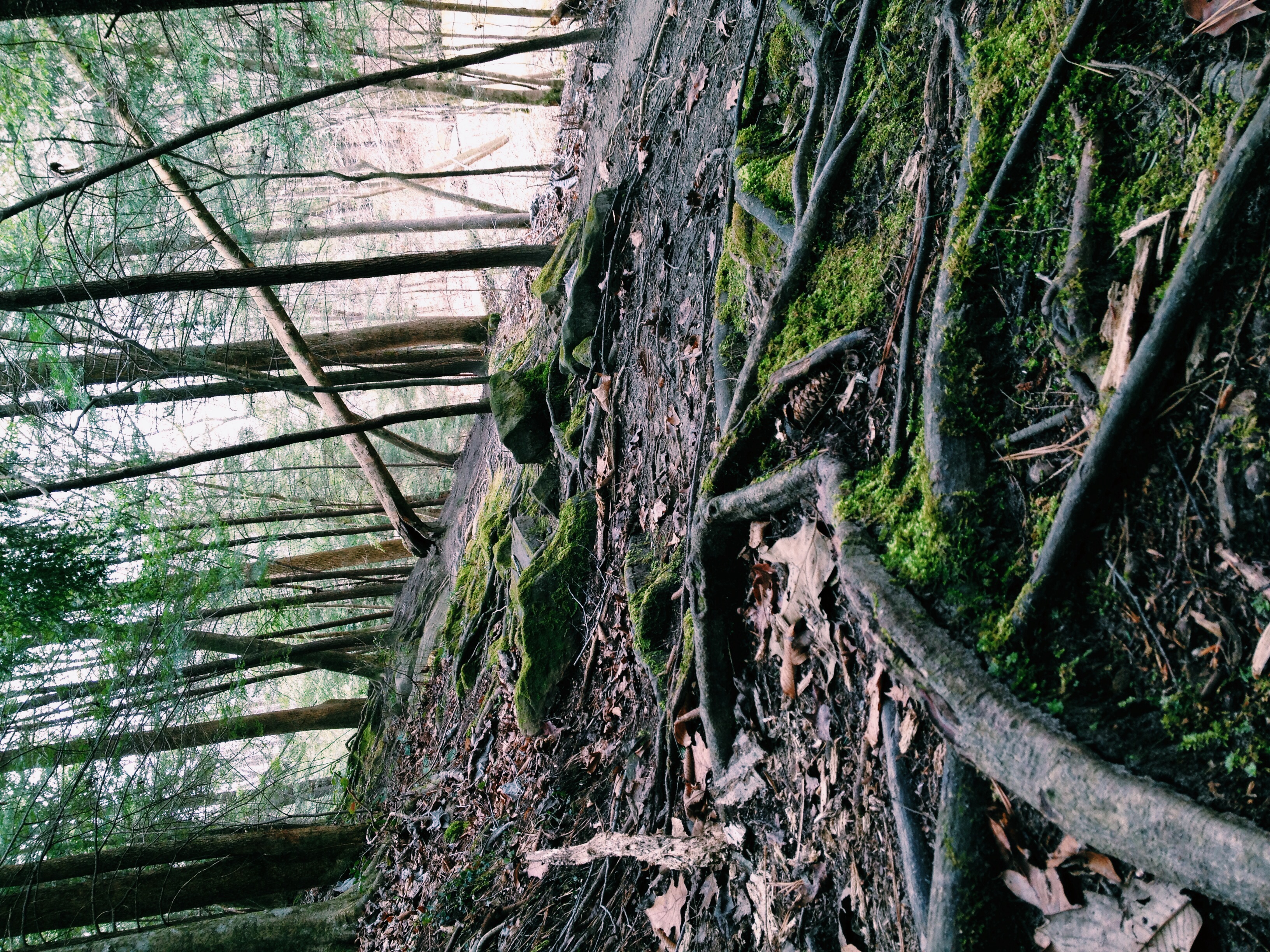
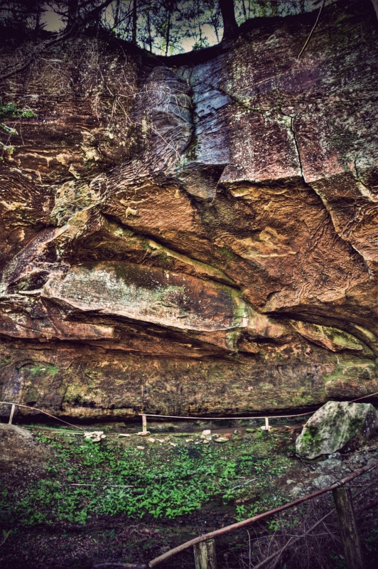
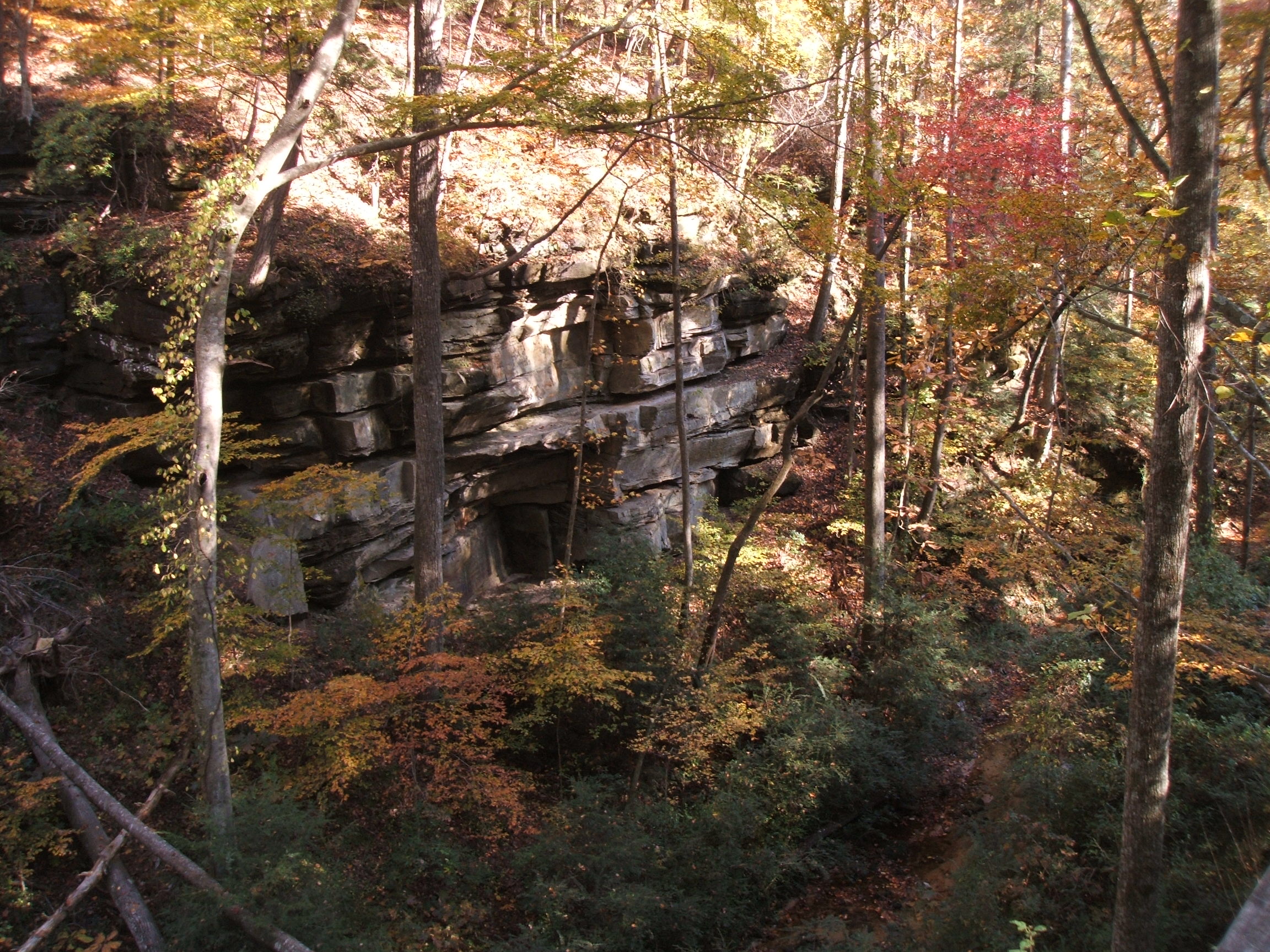
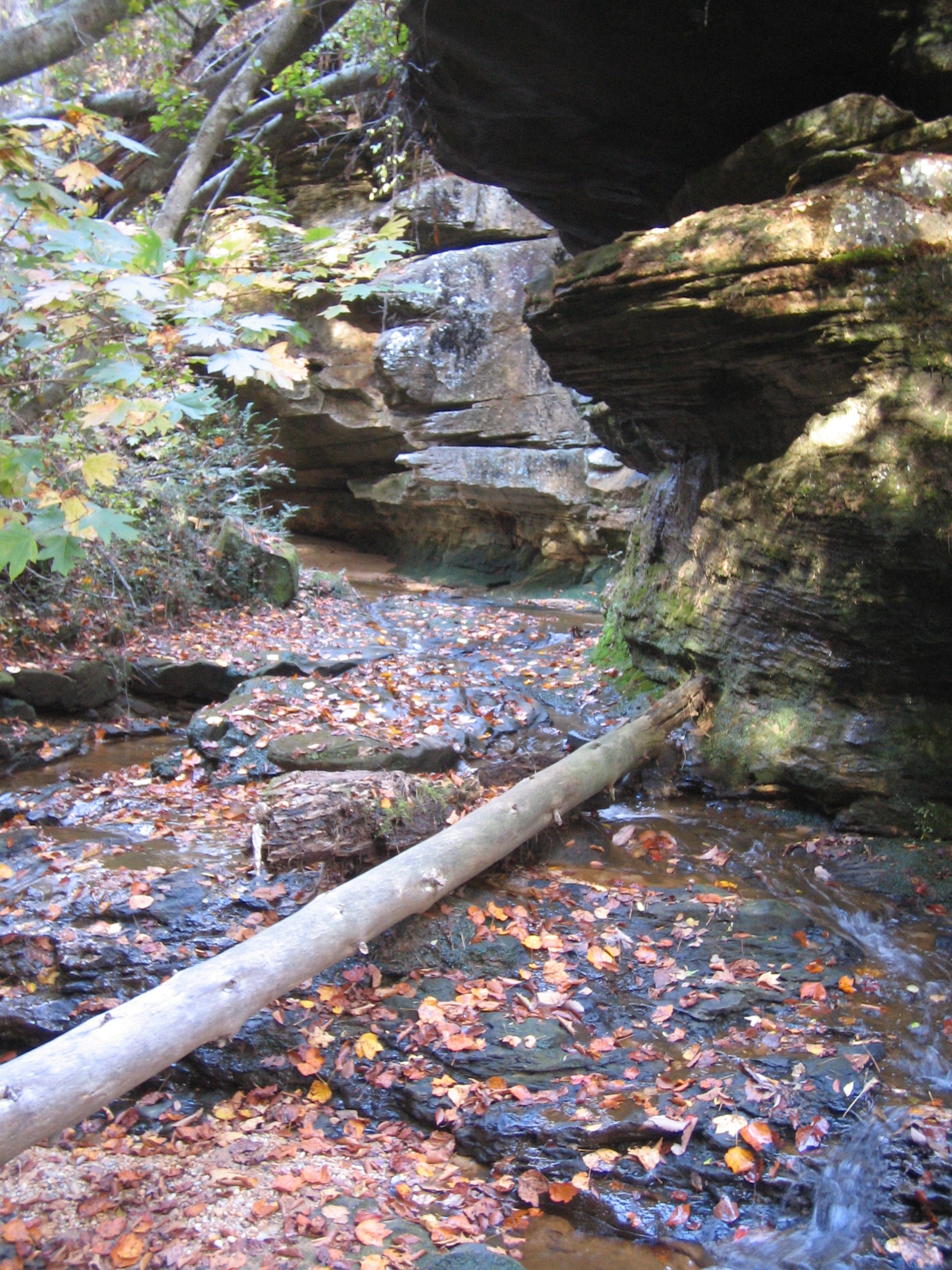
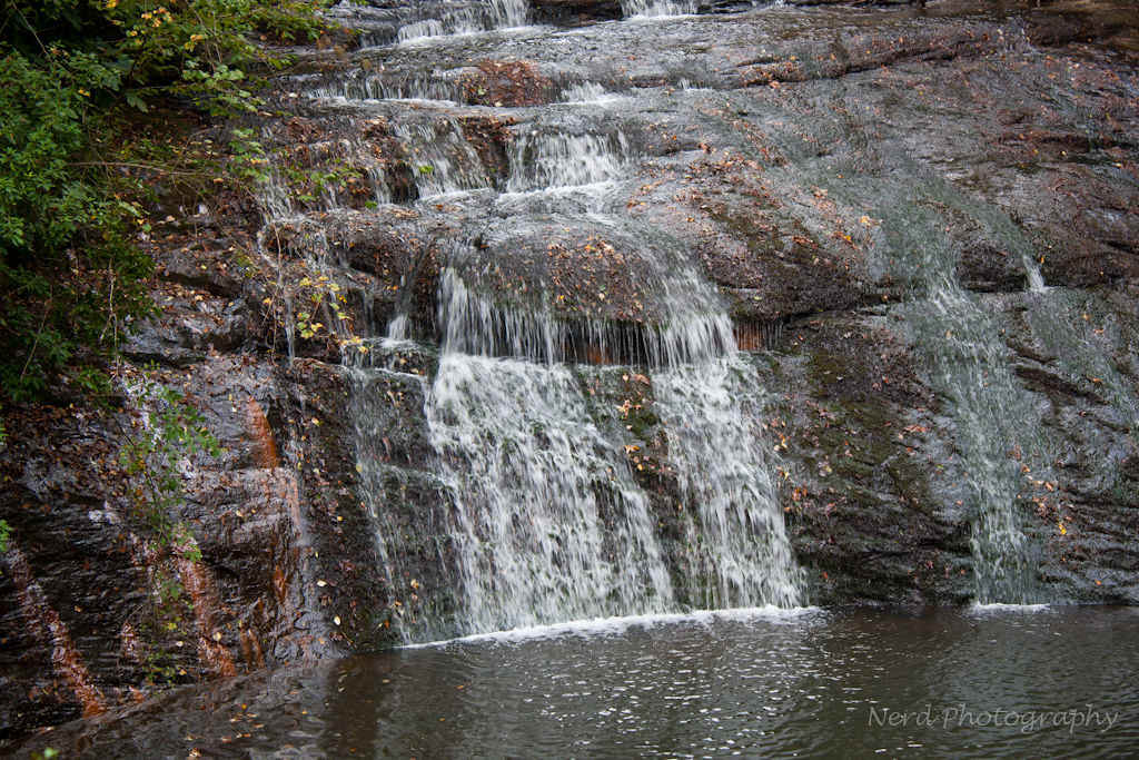
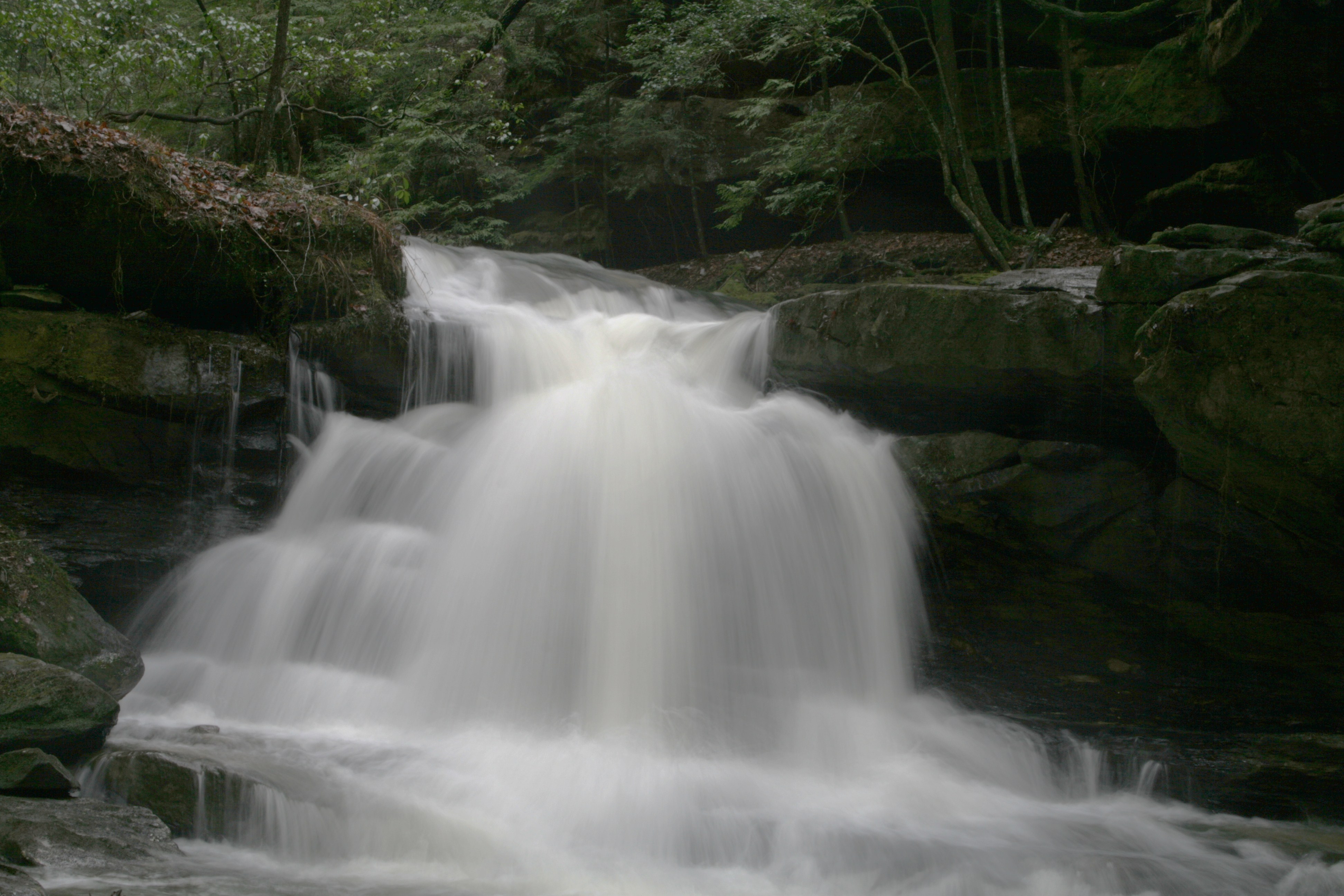
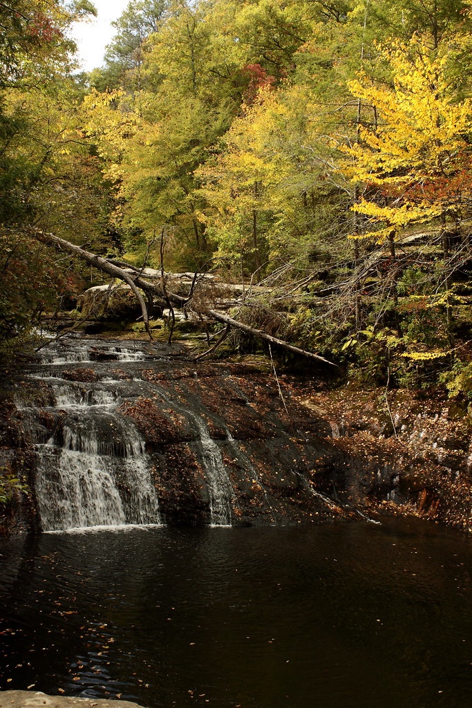
Related Photos:
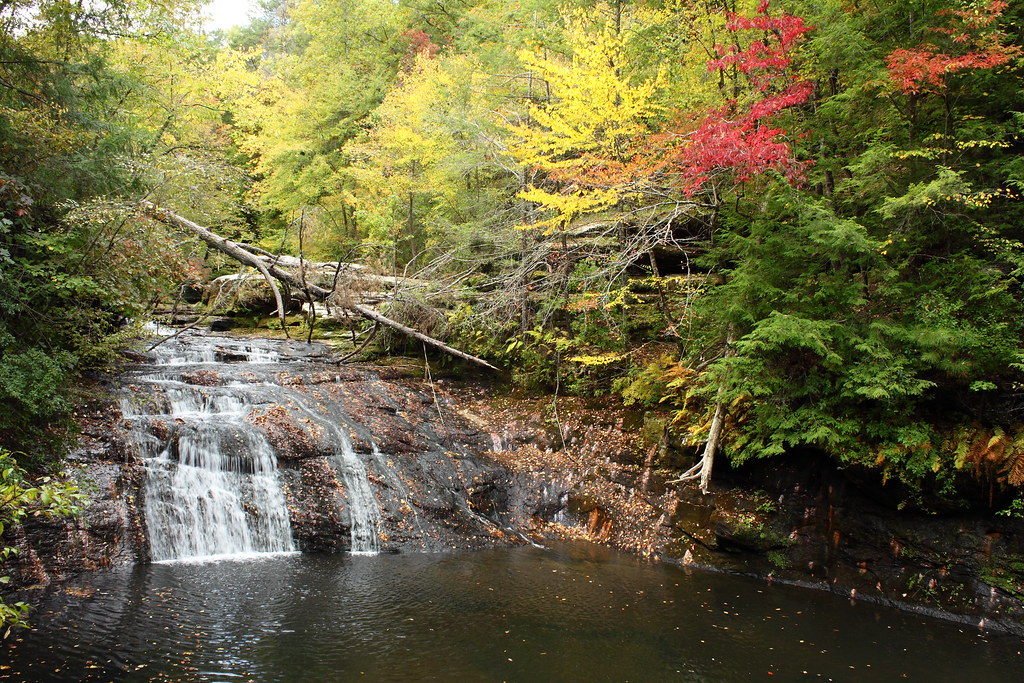
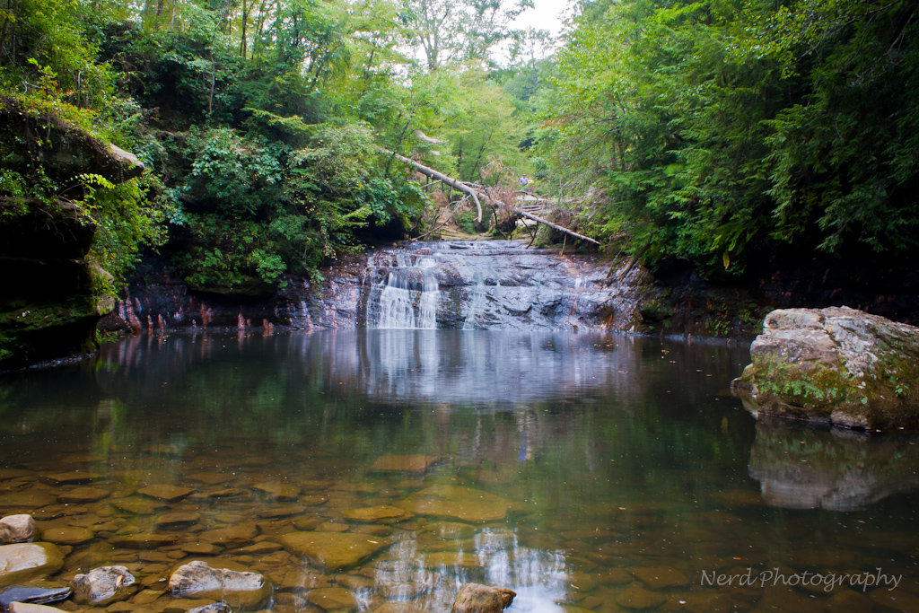
Low flow @ Kinlock Falls
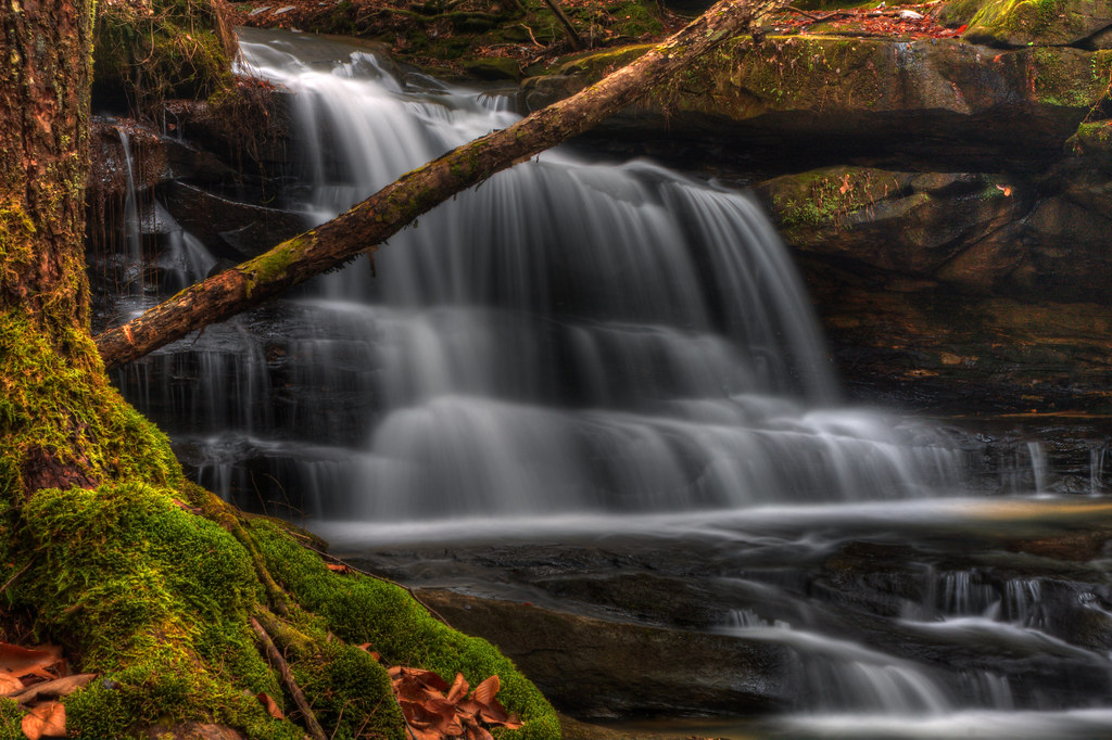
Factory Falls top
New Year's Eve Fall
bankhead-4646-344
IMG_0351-1
IMG_0346-1
IMG_2581.JPG
IMG_0345-1
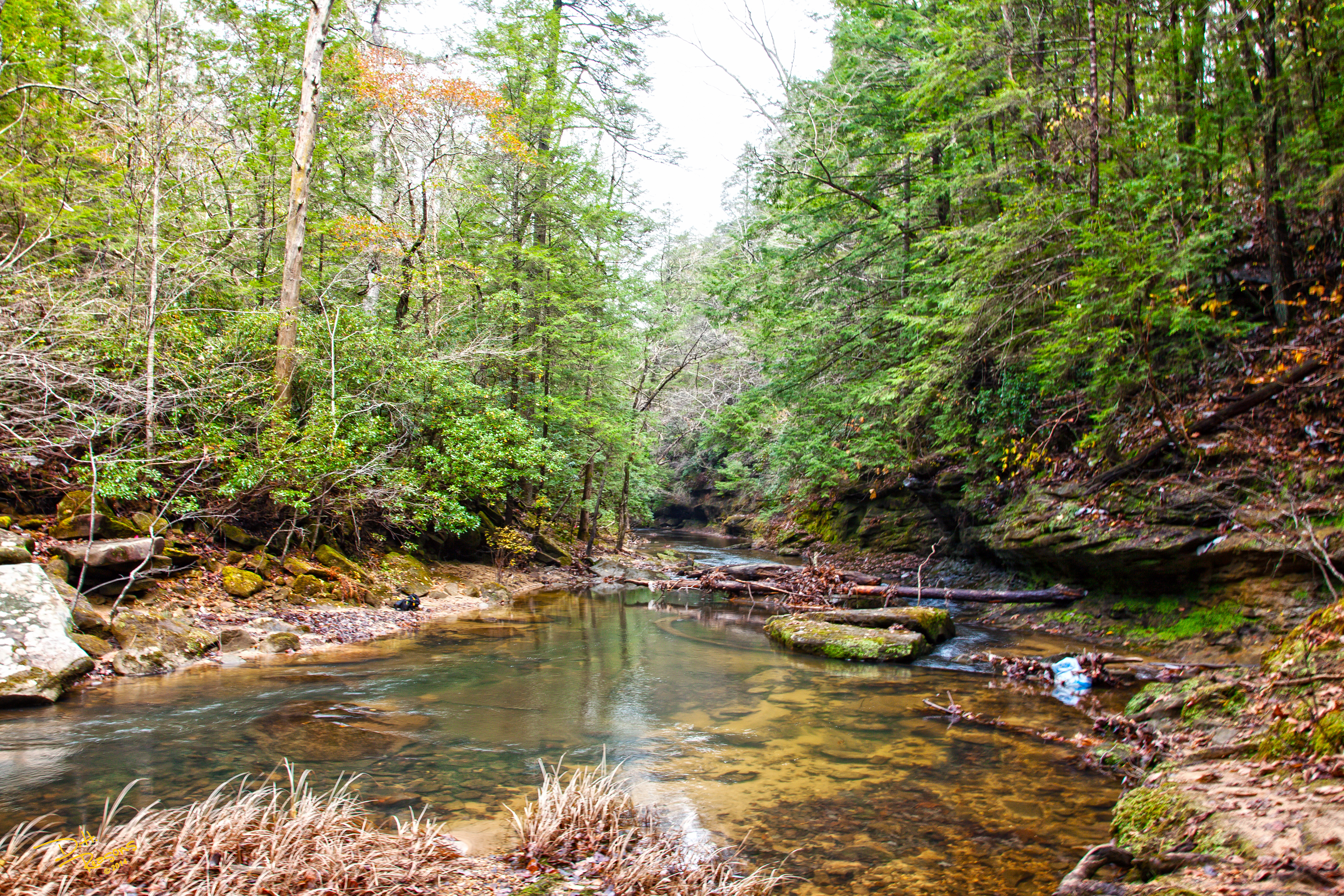
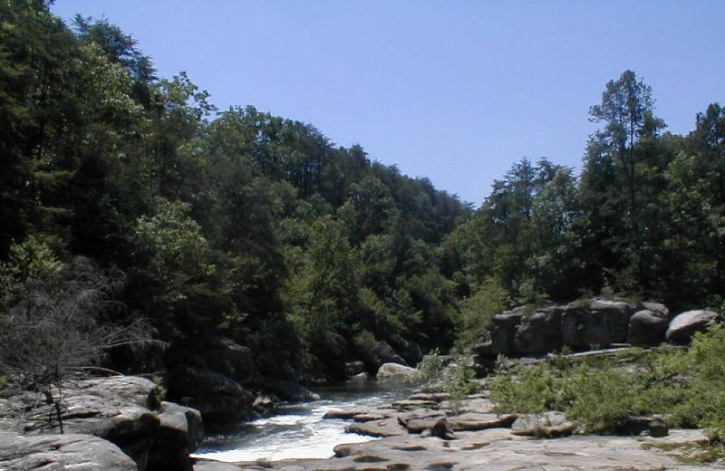
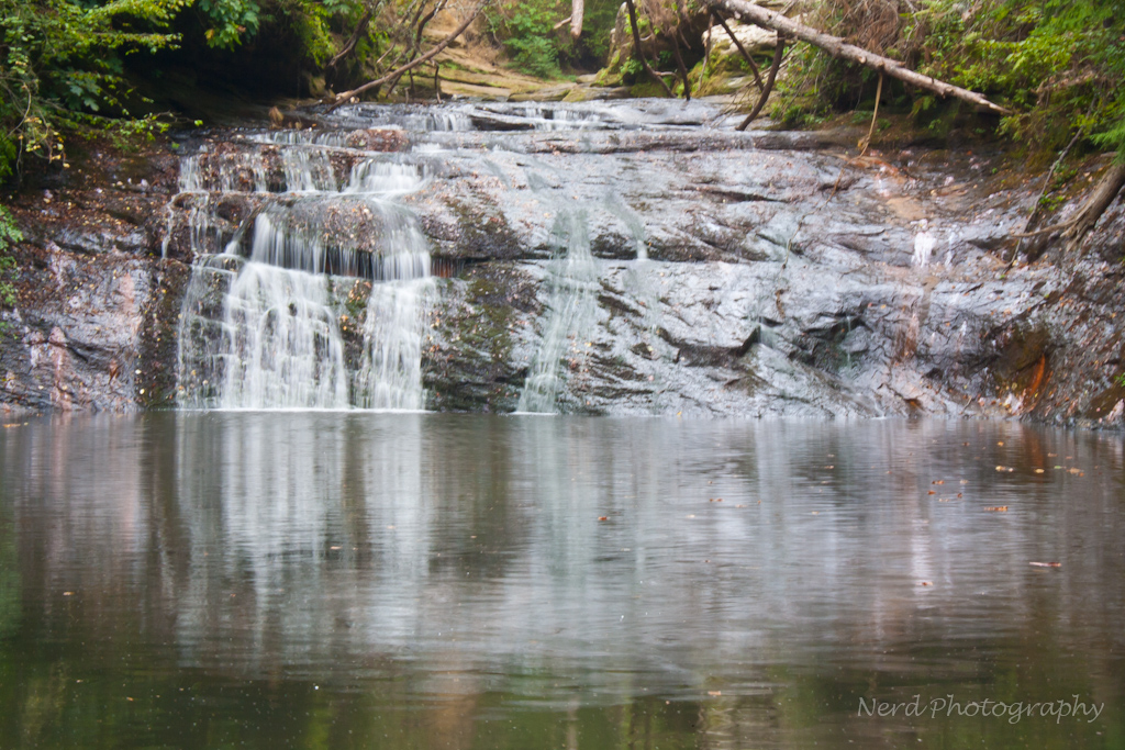
Looking Downstream, Kinlock Falls
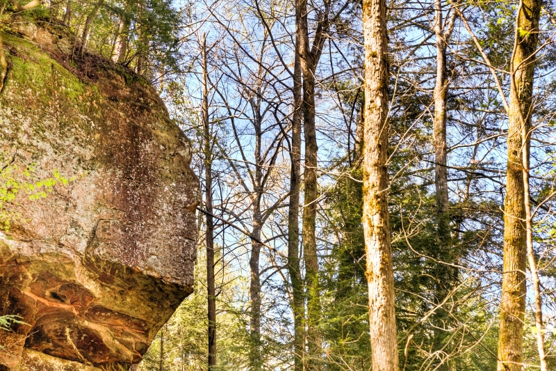
indian face
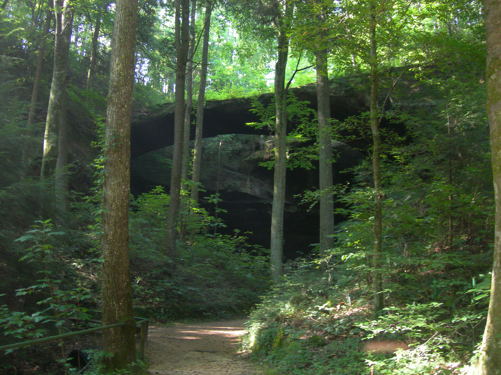
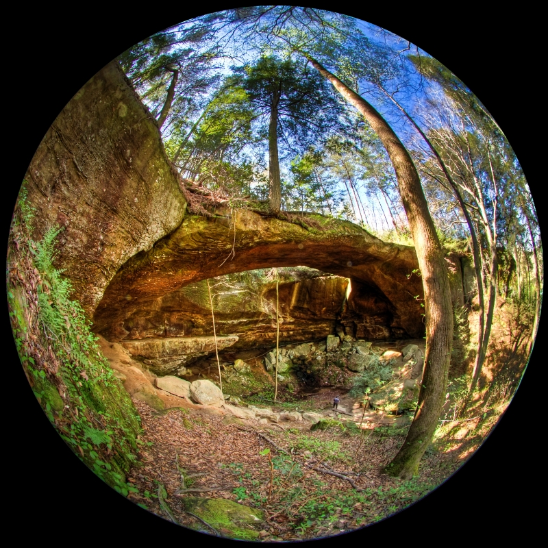
natural bridge
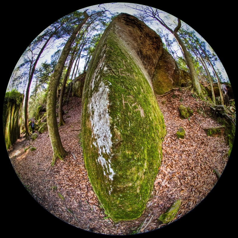
rock knife
Follow the moss path
from up there
the other waterfall

Baby Fern
DSCF0998.JPG
IMG_2567.JPG
IMG_0353-1
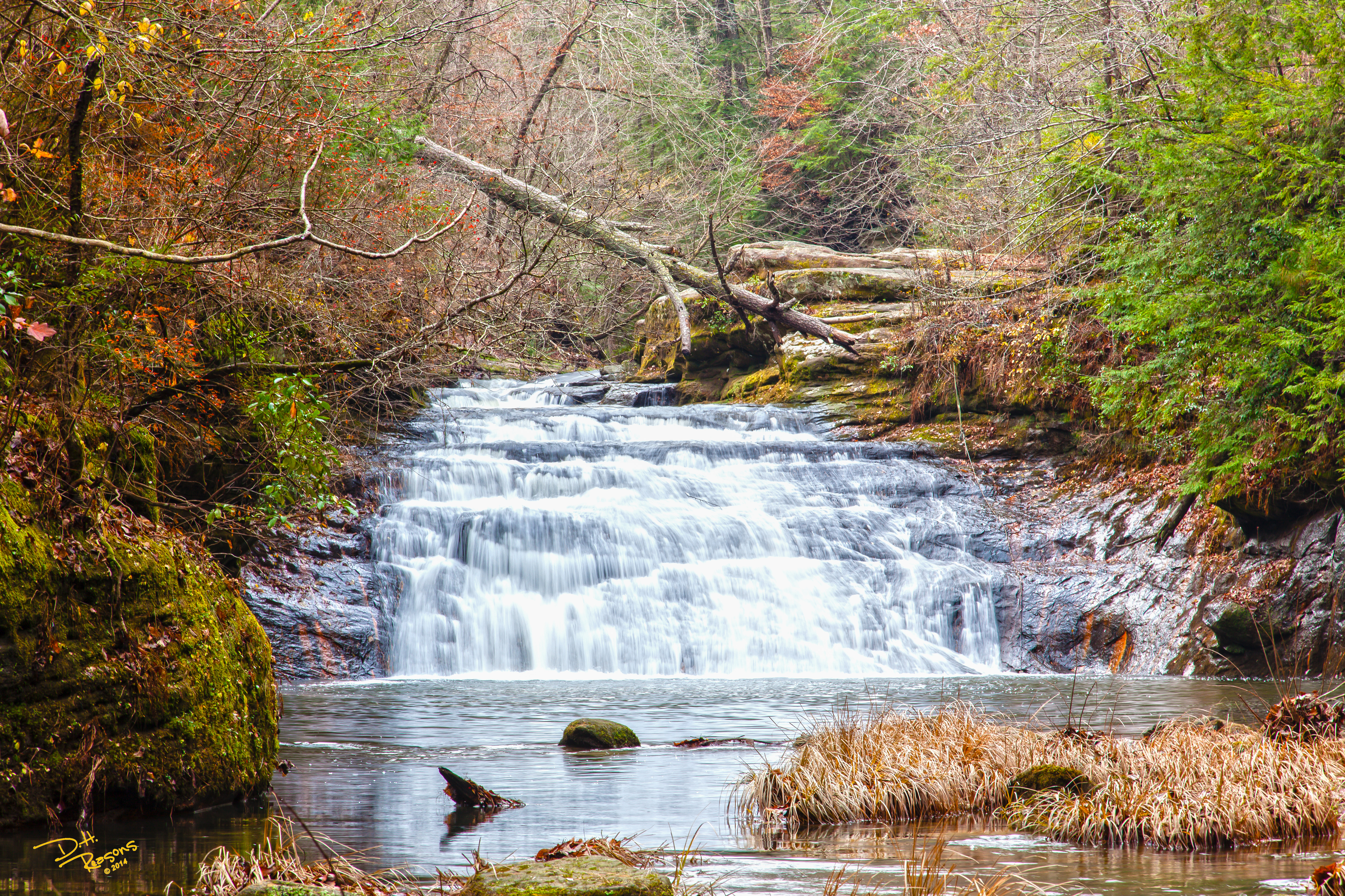
Parker Falls w/o text
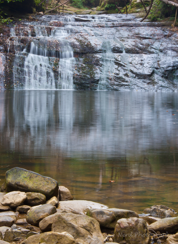
Kinlock Falls
Topographic Map of Haleyville, AL, USA
Find elevation by address:

Places in Haleyville, AL, USA:
Macedonia Rd, Haleyville, AL, USA
AL-, Haleyville, AL, USA
Moss Dr, Haleyville, AL, USA
County Rd 11, Haleyville, AL, USA
AL-13, Haleyville, AL, USA
3rd Ave, Haleyville, AL, USA
Places near Haleyville, AL, USA:
911 21st St
3rd Ave, Haleyville, AL, USA
12 Birch St
15 Birch St
Macedonia Rd, Haleyville, AL, USA
County Rd 11, Haleyville, AL, USA
2575 Co Rd 62
Moss Dr, Haleyville, AL, USA
1188 Co Rd 19
AL-13, Haleyville, AL, USA
Goddard Rd, Bear Creek, AL, USA
1026 Goddard Rd
1818 Goddard Rd
Bear Creek
531 High Ave
AL-, Bear Creek, AL, USA
Co Rd 12, Hackleburg, AL, USA
578 Tessner Rd
AL-, Bear Creek, AL, USA
Hackleburg
Recent Searches:
- Elevation of Corso Fratelli Cairoli, 35, Macerata MC, Italy
- Elevation of Tallevast Rd, Sarasota, FL, USA
- Elevation of 4th St E, Sonoma, CA, USA
- Elevation of Black Hollow Rd, Pennsdale, PA, USA
- Elevation of Oakland Ave, Williamsport, PA, USA
- Elevation of Pedrógão Grande, Portugal
- Elevation of Klee Dr, Martinsburg, WV, USA
- Elevation of Via Roma, Pieranica CR, Italy
- Elevation of Tavkvetili Mountain, Georgia
- Elevation of Hartfords Bluff Cir, Mt Pleasant, SC, USA