Elevation of AL-13, Haleyville, AL, USA
Location: United States > Alabama > Winston County > Haleyville >
Longitude: -87.606648
Latitude: 34.1697553
Elevation: 275m / 902feet
Barometric Pressure: 98KPa
Elevation Map:
Satellite Map:
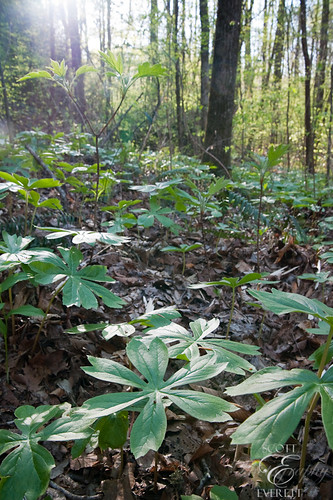
Related Photos:

For-Sale - Front-View

1933 Chrysler - Front-View

1933 Chrysler - Right Sidet View
IMG_2581.JPG
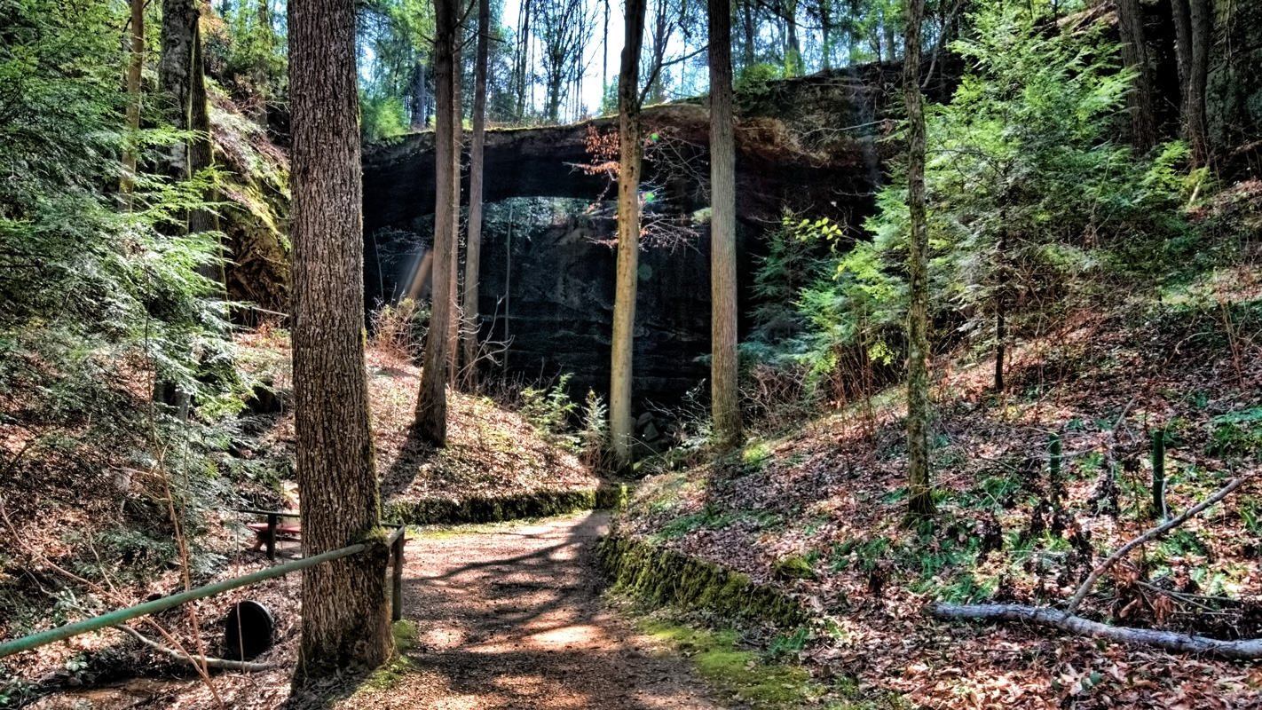
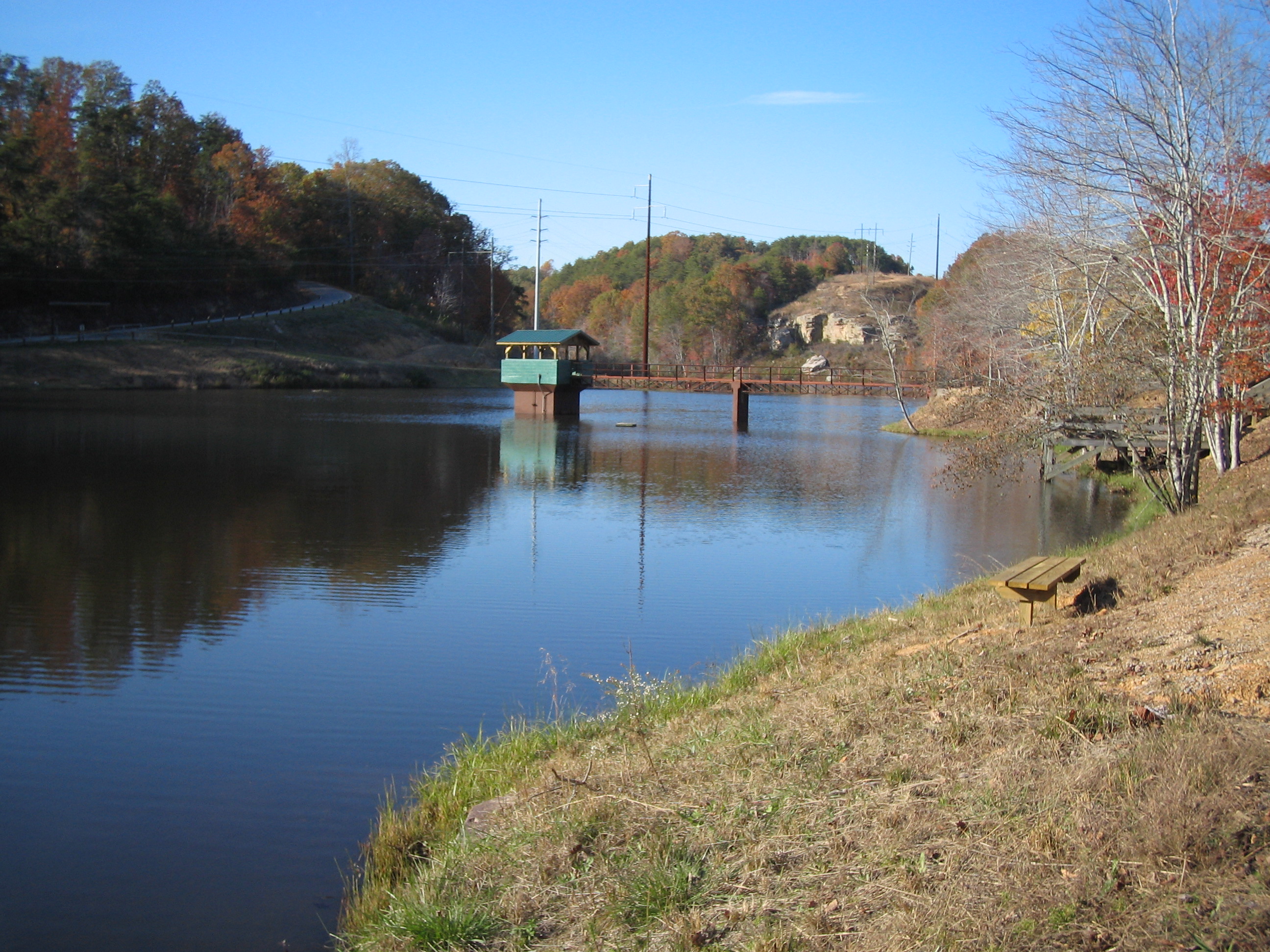
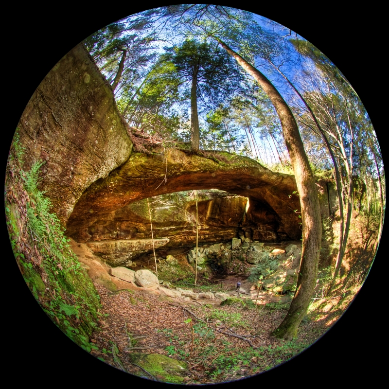
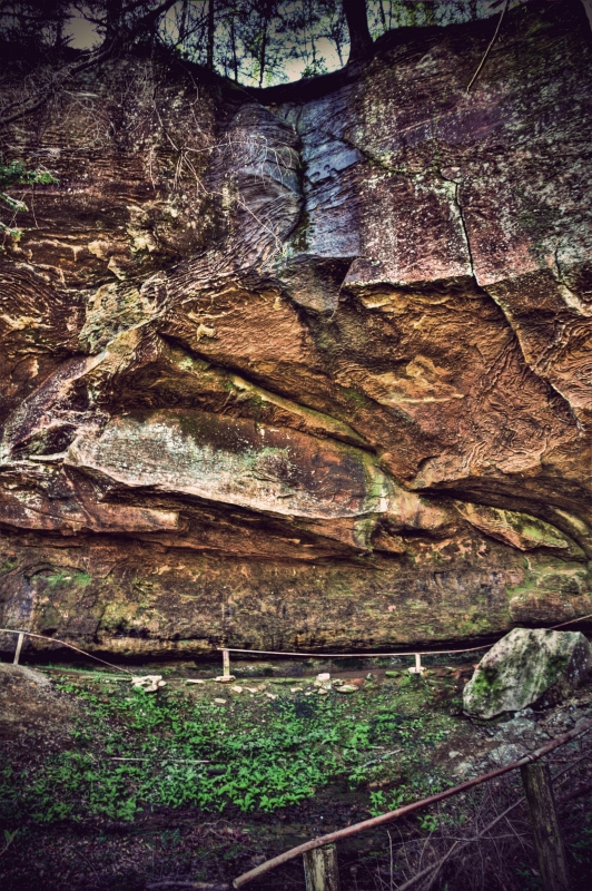
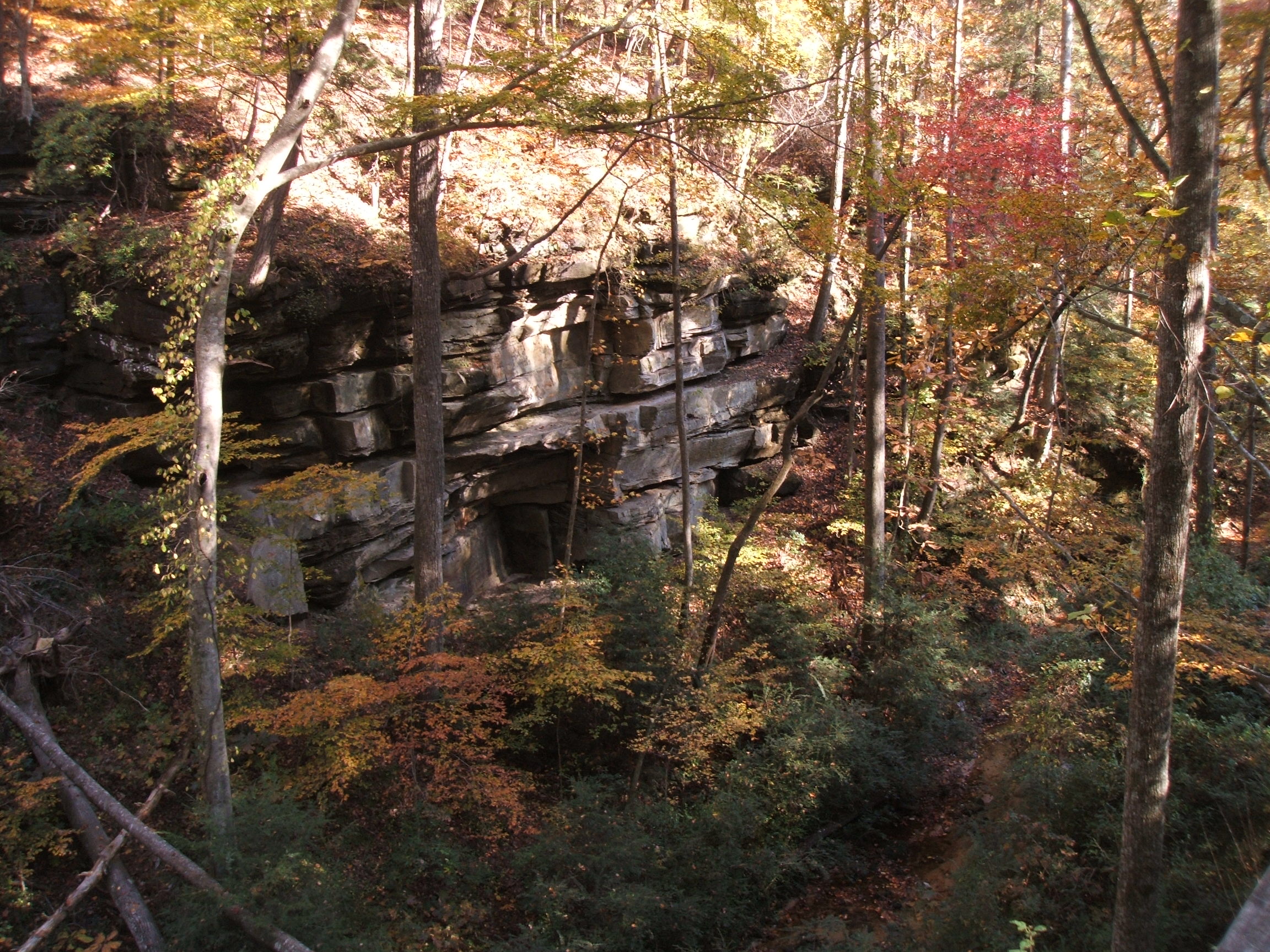
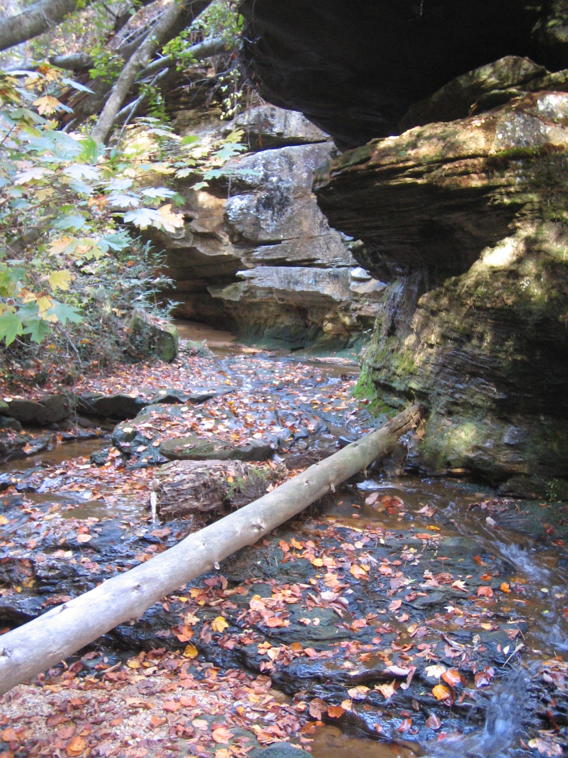
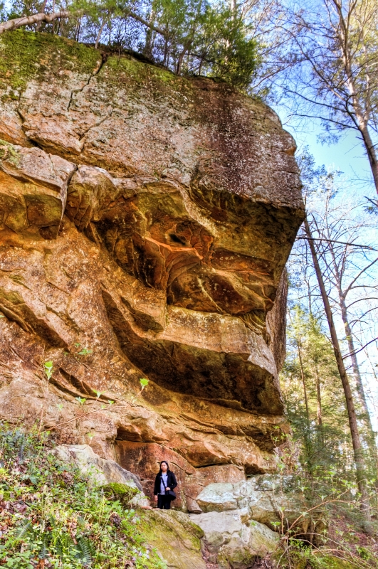
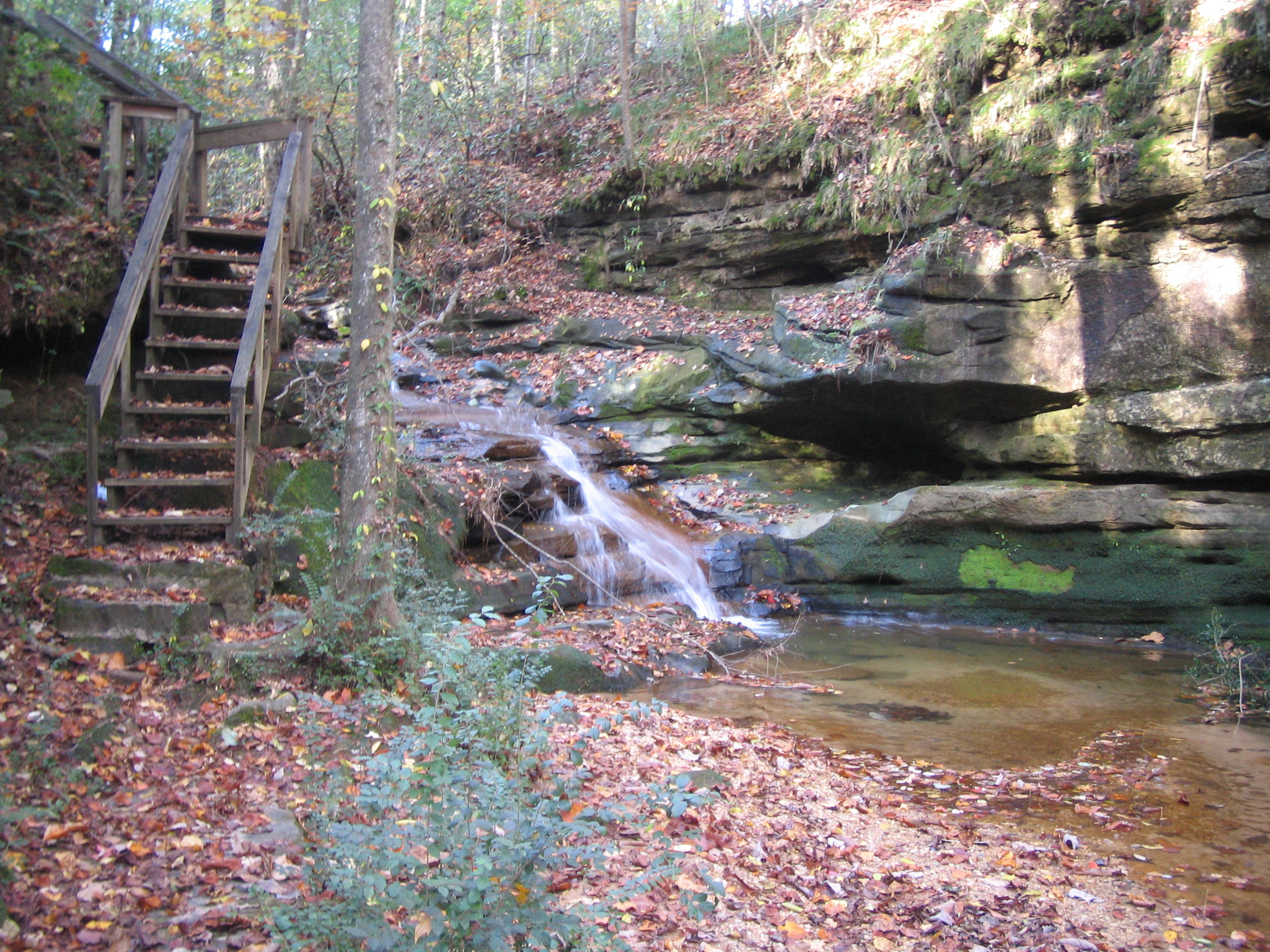
Natural Bridge
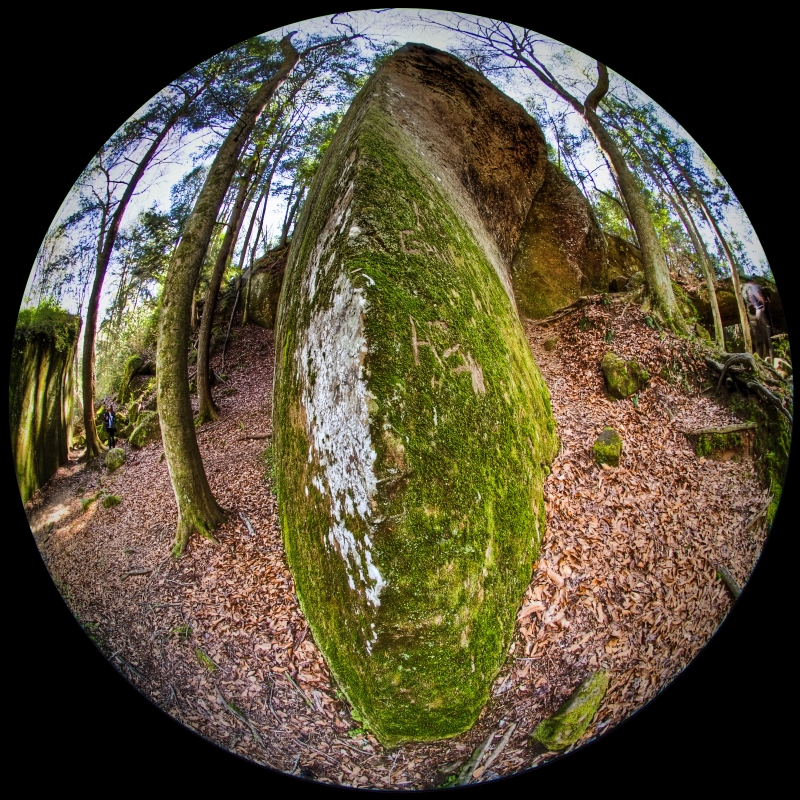
rock knife
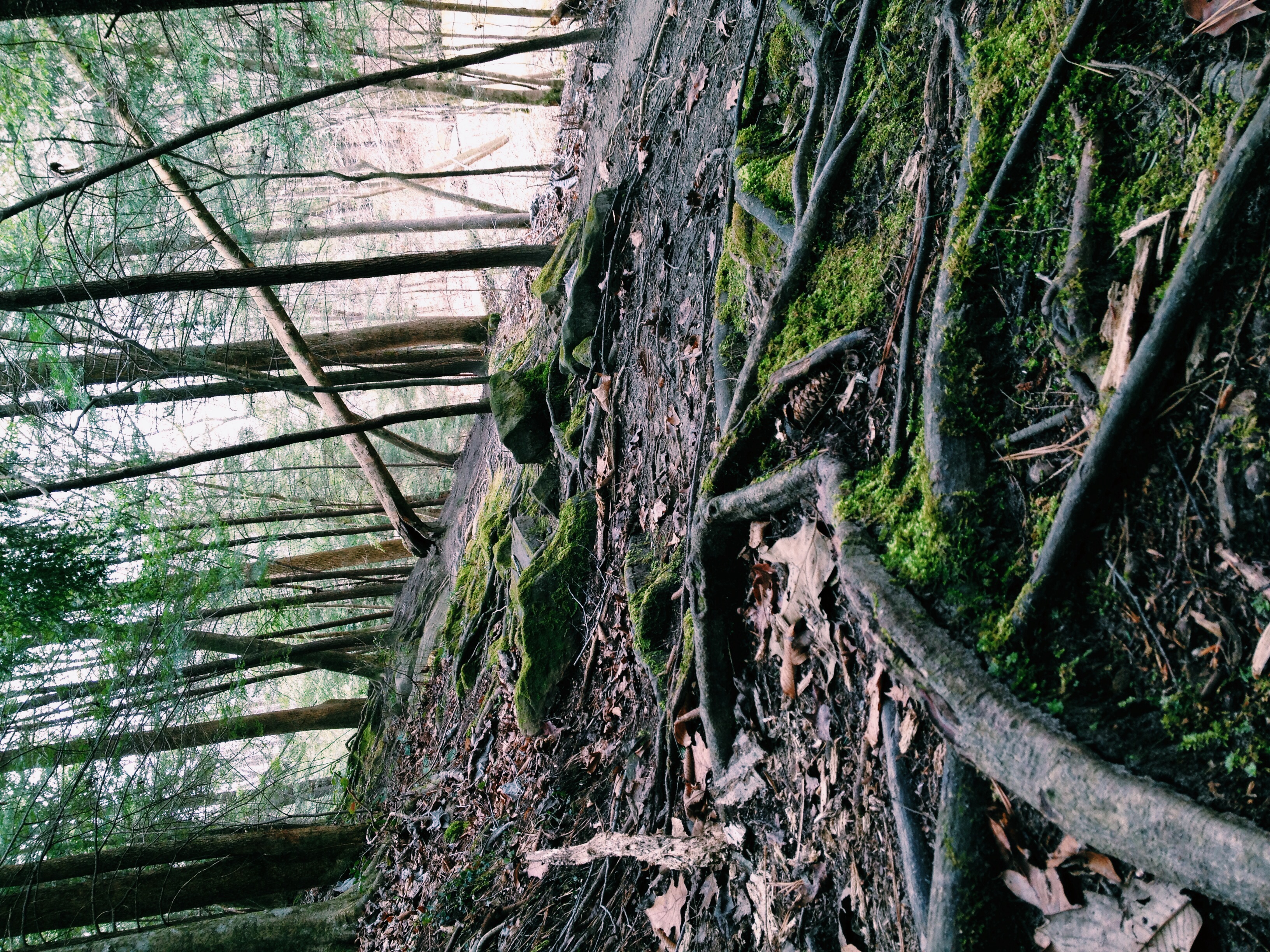
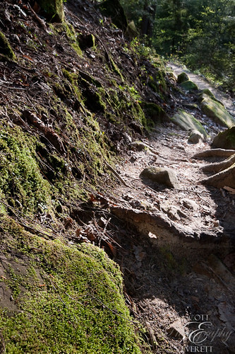
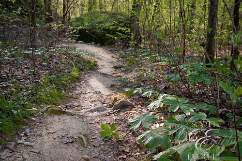
Follow the moss path
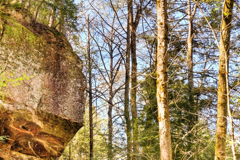
from up there
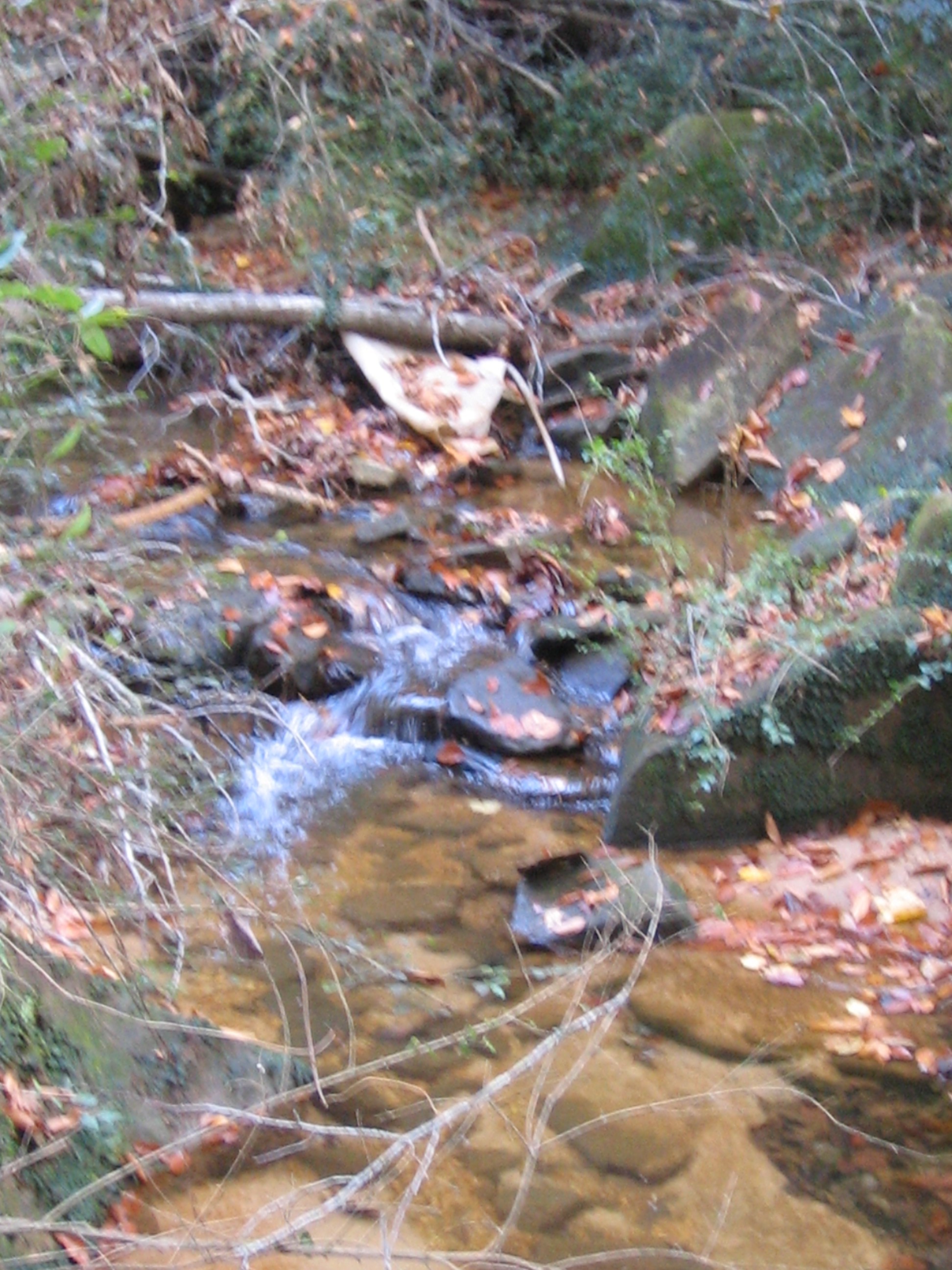
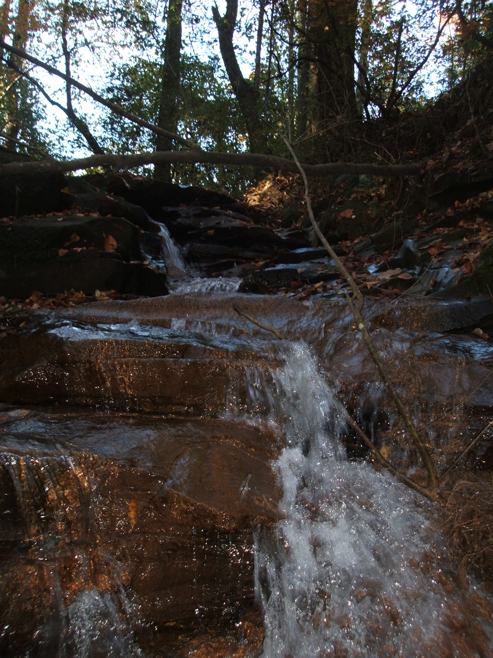
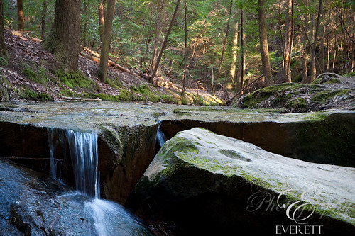
the other waterfall
DSCF0998.JPG
IMG_2567.JPG
IMG_2565.JPG
indian face
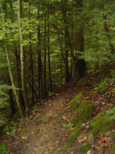
Natural Bridge path
DSCF1019.JPG
Natural Bridge-11
IMG_2580.JPG
indian face
Natural Bridge-12
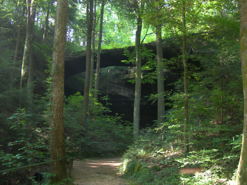
natural bridge
Natural Bridge-10
Natural Bridge-9
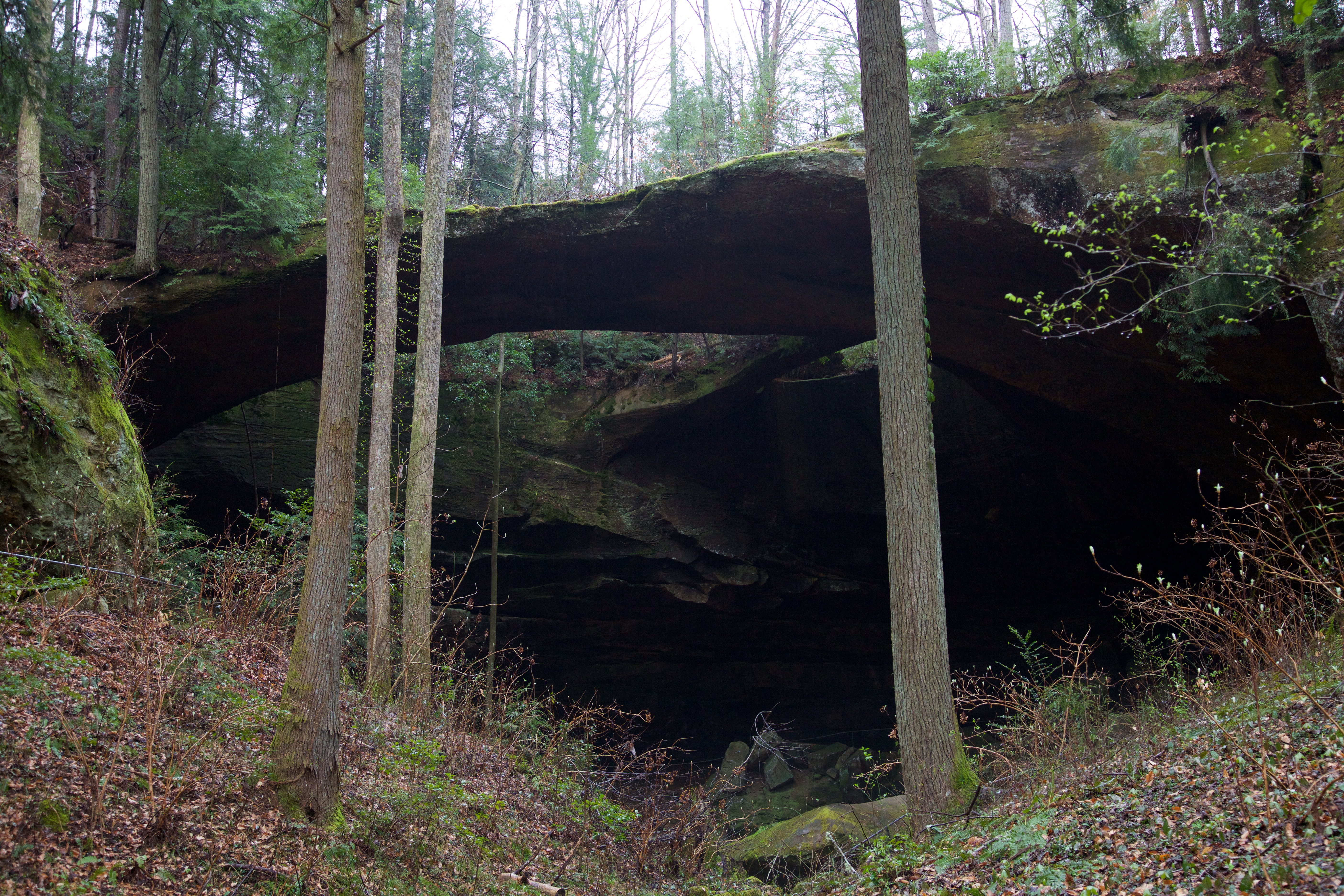
Natural Bridge
Topographic Map of AL-13, Haleyville, AL, USA
Find elevation by address:

Places near AL-13, Haleyville, AL, USA:
3rd Ave, Haleyville, AL, USA
Haleyville
911 21st St
Moss Dr, Haleyville, AL, USA
1188 Co Rd 19
Macedonia Rd, Haleyville, AL, USA
12 Birch St
15 Birch St
County Rd 11, Haleyville, AL, USA
2575 Co Rd 62
Goddard Rd, Bear Creek, AL, USA
1026 Goddard Rd
1818 Goddard Rd
Bear Creek
531 High Ave
AL-, Bear Creek, AL, USA
AL-, Bear Creek, AL, USA
Co Rd 12, Hackleburg, AL, USA
578 Tessner Rd
Alabama 253
Recent Searches:
- Elevation of Zimmer Trail, Pennsylvania, USA
- Elevation of 87 Kilmartin Ave, Bristol, CT, USA
- Elevation of Honghe National Nature Reserve, QP95+PJP, Tongjiang, Heilongjiang, Jiamusi, Heilongjiang, China
- Elevation of Hercules Dr, Colorado Springs, CO, USA
- Elevation of Szlak pieszy czarny, Poland
- Elevation of Griffing Blvd, Biscayne Park, FL, USA
- Elevation of Kreuzburger Weg 13, Düsseldorf, Germany
- Elevation of Gateway Blvd SE, Canton, OH, USA
- Elevation of East W.T. Harris Boulevard, E W.T. Harris Blvd, Charlotte, NC, USA
- Elevation of West Sugar Creek, Charlotte, NC, USA