Elevation of Hale County, AL, USA
Location: United States > Alabama >
Longitude: -87.618637
Latitude: 32.7859102
Elevation: 78m / 256feet
Barometric Pressure: 100KPa
Elevation Map:
Satellite Map:
Related Photos:
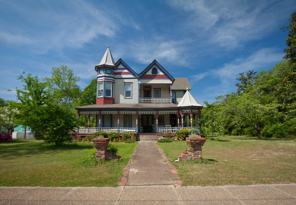
victorian views

Greensboro, AL - Revitalization of Lions Park (Rural Studio Projects)

view from the top

Magnolia Grove

DSC_0350.jpg

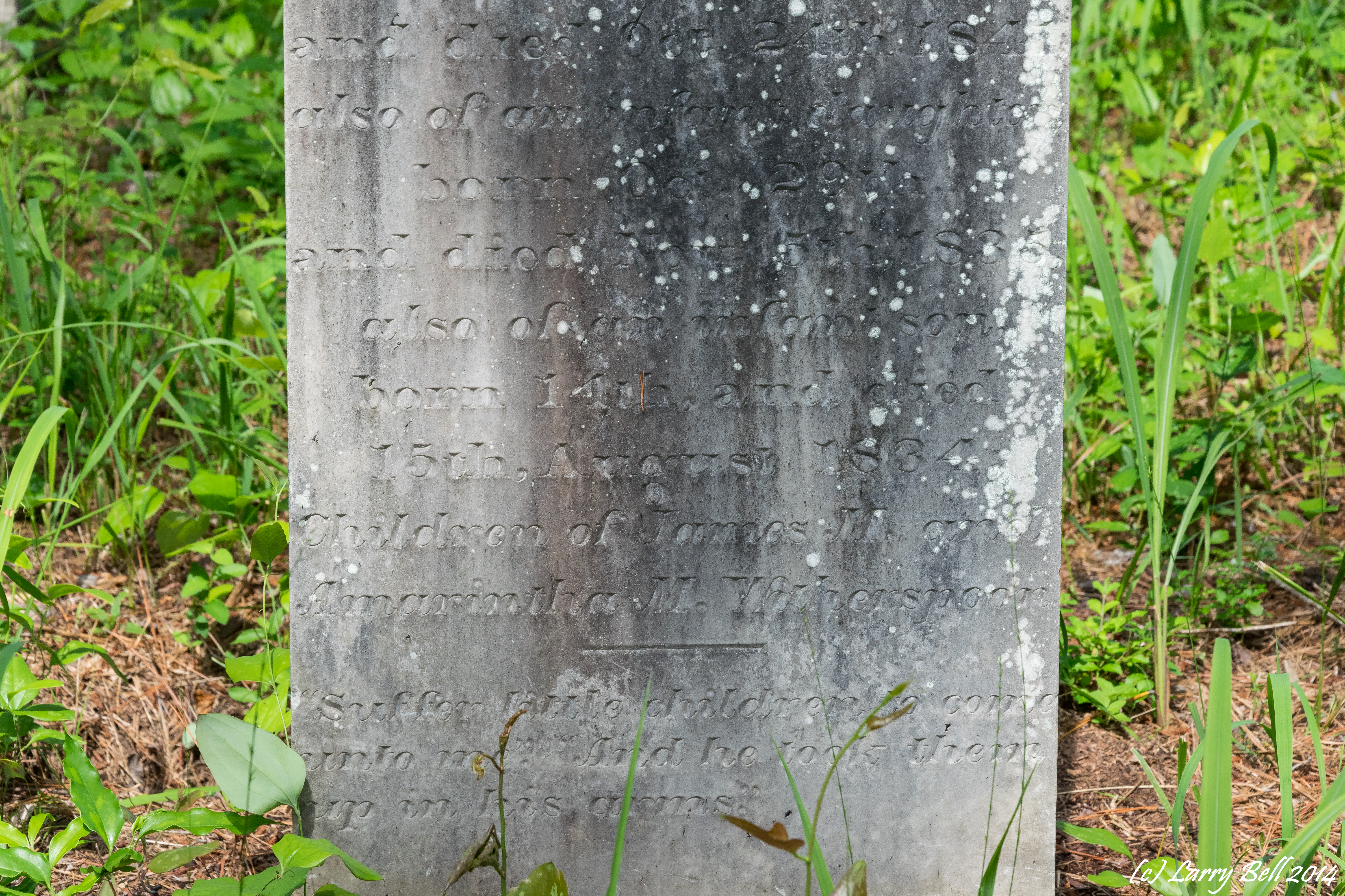
Greensboro, AL - Drake Northrup House, ca. 1850
DSC_0225.jpg

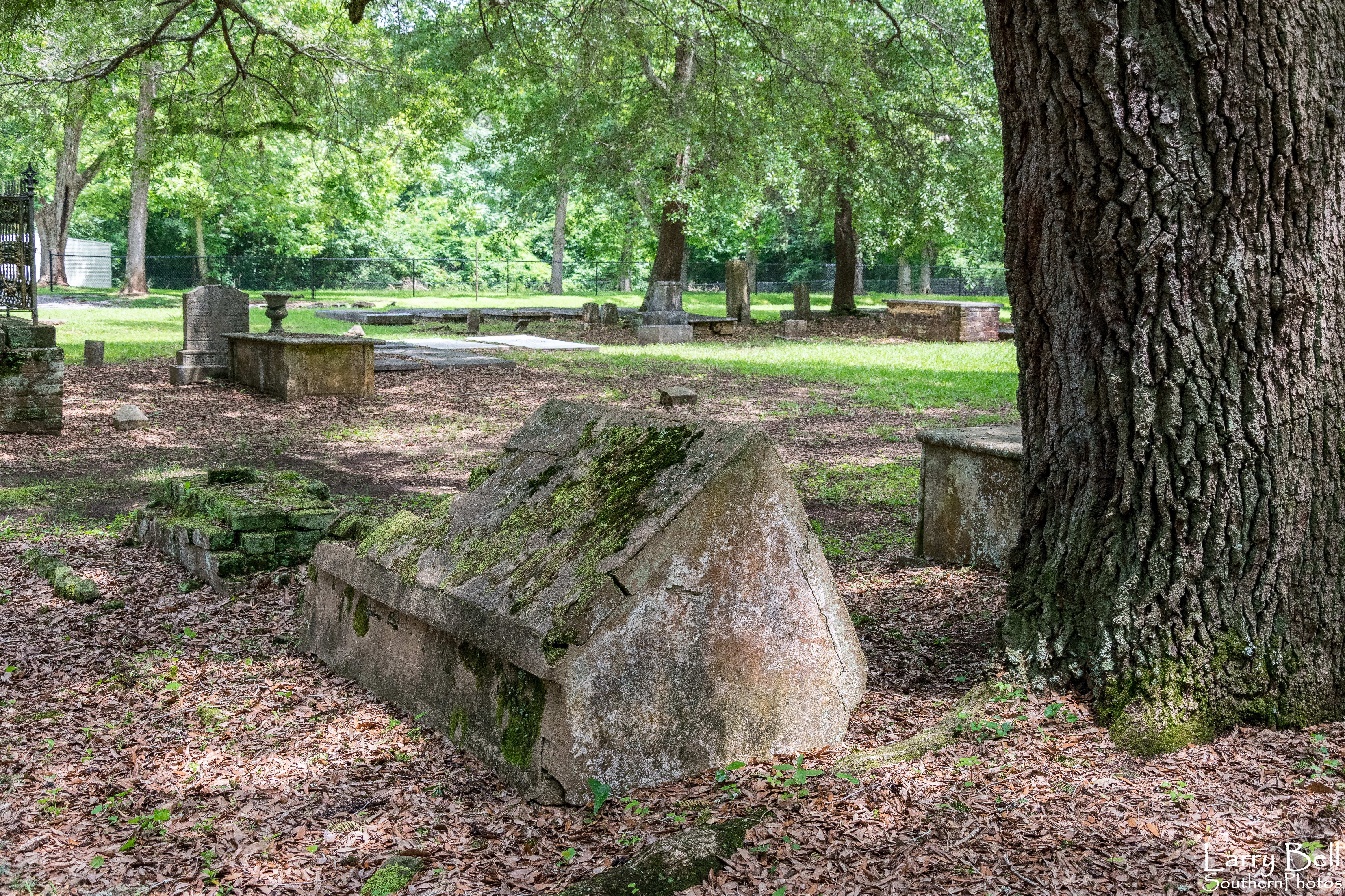
Greensboro, AL - Magnolia Grove (ca. 1840)

_DSC0169-Greensboro-US.jpg

DSC_0341.jpg
DSC_0353.jpg

DSC_0304.jpg

DSC_0297.jpg
Topographic Map of Hale County, AL, USA
Find elevation by address:

Places in Hale County, AL, USA:
Places near Hale County, AL, USA:
AL-14, Sawyerville, AL, USA
8967 Co Rd 21
Greensboro
1059 Co Rd 34
Co Rd 29, Moundville, AL, USA
Sawyerville
Co Rd 29, Moundville, AL, USA
AL-60, Sawyerville, AL, USA
Rosemary Rd, Greensboro, AL, USA
Akron
Co Rd 64, Moundville, AL, USA
James Loop Rd, Moundville, AL, USA
AL-69, Greensboro, AL, USA
Oak Village Rd, Akron, AL, USA
AL-25, Greensboro, AL, USA
Jennings Ferry Park Campground
Co Rd 29, Marion, AL, USA
260 S Bypass
Newbern
Moundville
Recent Searches:
- Elevation of Corso Fratelli Cairoli, 35, Macerata MC, Italy
- Elevation of Tallevast Rd, Sarasota, FL, USA
- Elevation of 4th St E, Sonoma, CA, USA
- Elevation of Black Hollow Rd, Pennsdale, PA, USA
- Elevation of Oakland Ave, Williamsport, PA, USA
- Elevation of Pedrógão Grande, Portugal
- Elevation of Klee Dr, Martinsburg, WV, USA
- Elevation of Via Roma, Pieranica CR, Italy
- Elevation of Tavkvetili Mountain, Georgia
- Elevation of Hartfords Bluff Cir, Mt Pleasant, SC, USA