Elevation of Co Rd 34, Akron, AL, USA
Location: United States > Alabama > Hale County > Akron >
Longitude: -87.701347
Latitude: 32.8454539
Elevation: 83m / 272feet
Barometric Pressure: 100KPa
Elevation Map:
Satellite Map:
Related Photos:

Eutaw, Al-2.jpg
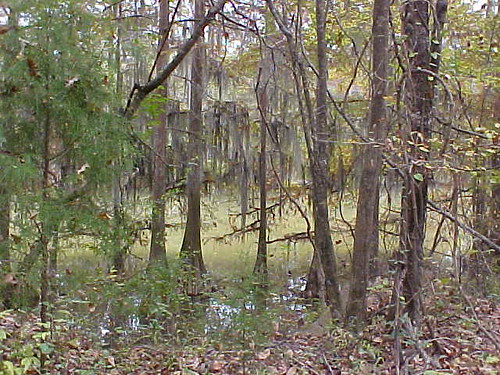
bayou-ish
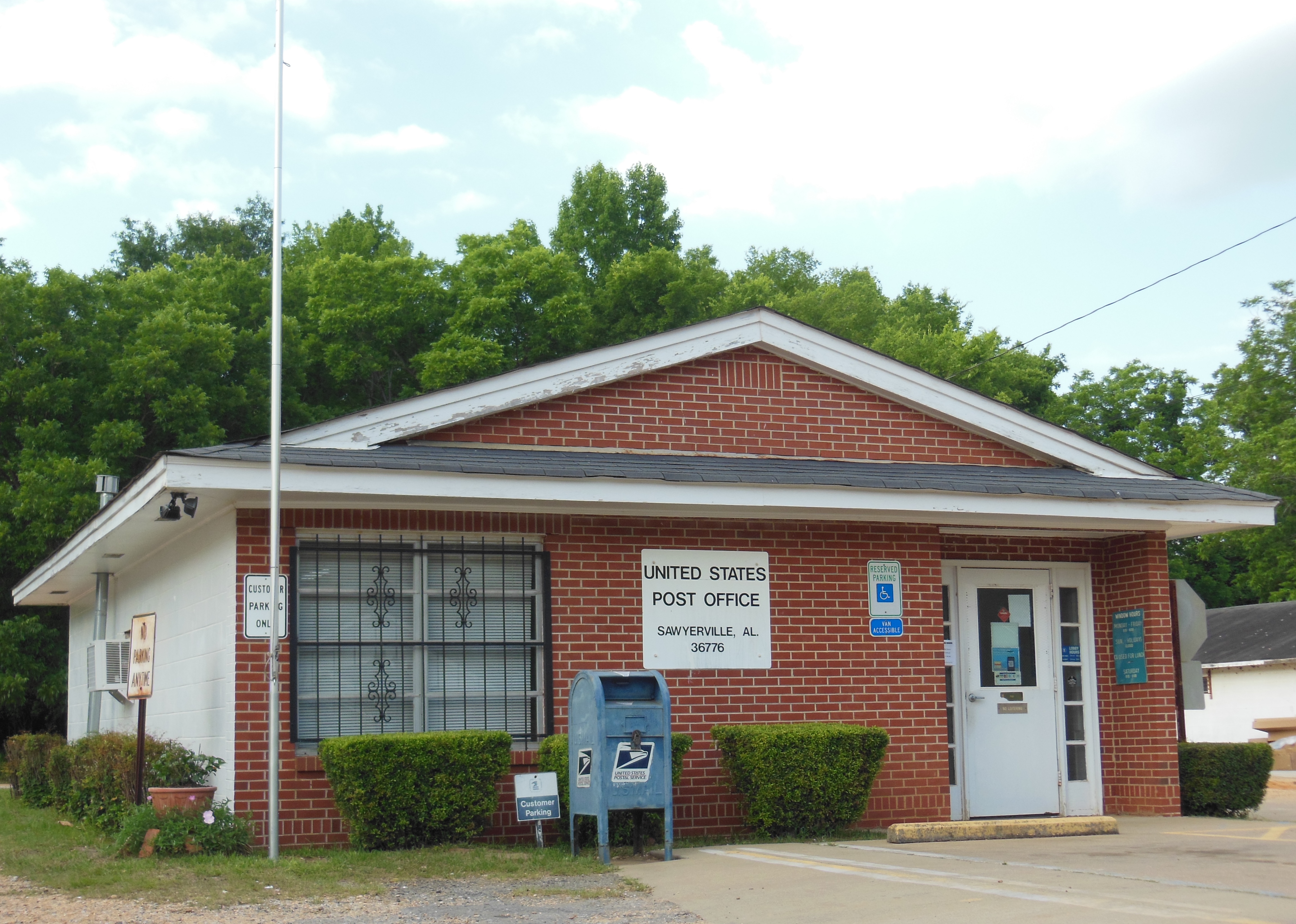
Sawyerville, Alabama 36776 PostOffice

RX303757_stitch-Edit

RX303738-Edit

RX303735-Edit

RX303711-Edit

RX303710-Edit

RX303707-Edit

RX303700-Edit
Topographic Map of Co Rd 34, Akron, AL, USA
Find elevation by address:

Places near Co Rd 34, Akron, AL, USA:
8967 Co Rd 21
Akron
AL-60, Sawyerville, AL, USA
Oak Village Rd, Akron, AL, USA
Sawyerville
Hale County
James Loop Rd, Moundville, AL, USA
AL-14, Sawyerville, AL, USA
Co Rd 64, Moundville, AL, USA
Jennings Ferry Park Campground
260 S Bypass
Co Rd 29, Moundville, AL, USA
26 Alabama Ave
Moundville
51 Co Rd, Knoxville, AL, USA
Al Avenue
1438 Star Ln
Knoxville
Greensboro
2 River Bend Farm Rd
Recent Searches:
- Elevation of Zimmer Trail, Pennsylvania, USA
- Elevation of 87 Kilmartin Ave, Bristol, CT, USA
- Elevation of Honghe National Nature Reserve, QP95+PJP, Tongjiang, Heilongjiang, Jiamusi, Heilongjiang, China
- Elevation of Hercules Dr, Colorado Springs, CO, USA
- Elevation of Szlak pieszy czarny, Poland
- Elevation of Griffing Blvd, Biscayne Park, FL, USA
- Elevation of Kreuzburger Weg 13, Düsseldorf, Germany
- Elevation of Gateway Blvd SE, Canton, OH, USA
- Elevation of East W.T. Harris Boulevard, E W.T. Harris Blvd, Charlotte, NC, USA
- Elevation of West Sugar Creek, Charlotte, NC, USA