Elevation of Halbur, IA, USA
Location: United States > Iowa > Carroll County > Roselle >
Longitude: -94.969989
Latitude: 42.0069297
Elevation: 429m / 1407feet
Barometric Pressure: 96KPa
Elevation Map:
Satellite Map:
Related Photos:
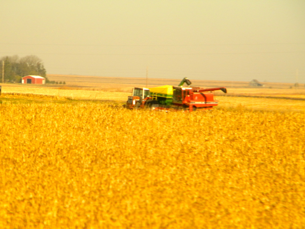
Iowa: Harvesting Corn

Iowa: Grain Loading Facility
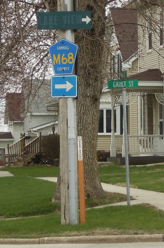
Faded sign to Lake View

Swan Lake July 2016 (1)

Swan Lake July 2016 (2)
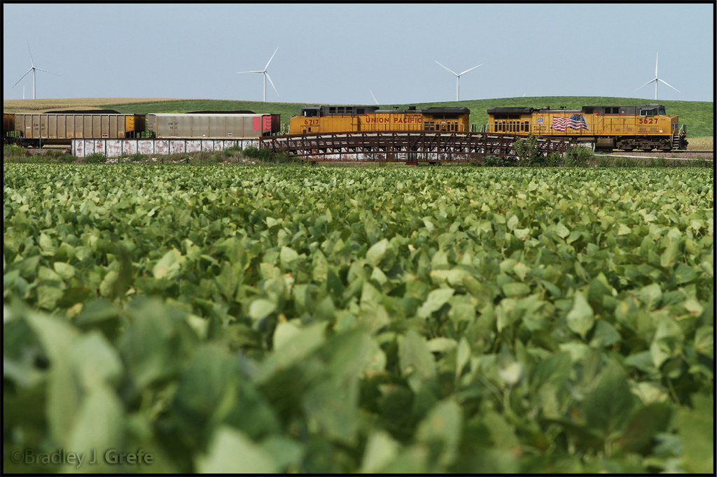
Union Pacific Environmental Ad?

Mom and Dad and our brood

Murphy and Mom and Dad (11)

Murphy and Doug Oct 2016

Doug sleeping Sept 2016

Sept 9 2016

Loading my cool vest for lawn mowing

Julie, Mary and sisters July 2016 (1)

Julie, Mary and sisters July 2016 (2)

Julie Pirahna Club July 2016 2

Julie Pirahna Club July 2016

Grandchildren June 2016 edit

Mary Jorgensen and Vern June 2016 Winery

squirrel almonds

Um...a little help, please

He's trying...

Squirrel outside our picture window

Squirrel and bird feeder
Post Office 51463 (Templeton, Iowa)
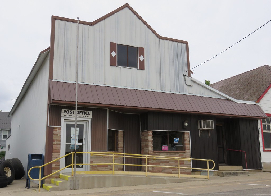
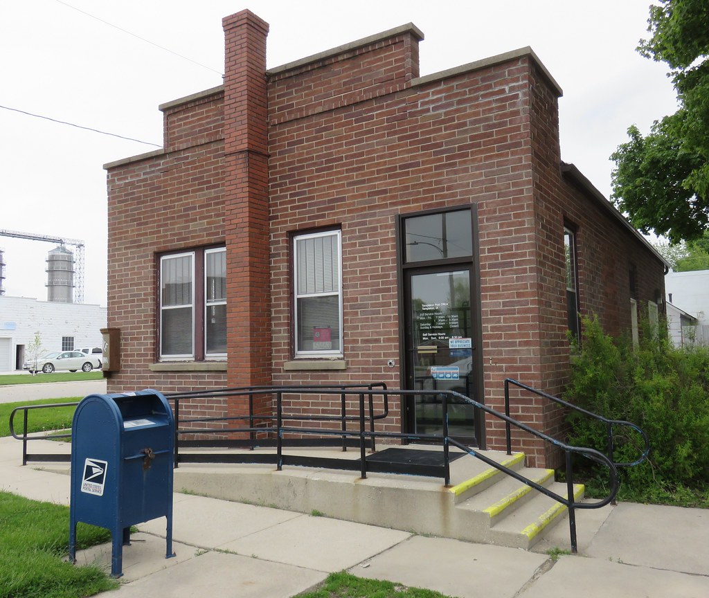
Post Office 51444 (Halbur, Iowa)
Topographic Map of Halbur, IA, USA
Find elevation by address:

Places in Halbur, IA, USA:
Places near Halbur, IA, USA:
3rd St, Carroll, IA, USA
Roselle
Maple River
Templeton
2nd Ave, Templeton, IA, USA
Guthrie St, Carroll, IA, USA
30704 Falcon Ave
Eden
Ann Marie Riat, Pt
16197 Ivy Ave
Carroll
E 6th St, Carroll, IA, USA
Ewoldt
210 2nd St
3rd St, Manning, IA, USA
Manning
23508 220th St
Willey
th St, Carroll, IA, USA
Carroll County
Recent Searches:
- Elevation of Congressional Dr, Stevensville, MD, USA
- Elevation of Bellview Rd, McLean, VA, USA
- Elevation of Stage Island Rd, Chatham, MA, USA
- Elevation of Shibuya Scramble Crossing, 21 Udagawacho, Shibuya City, Tokyo -, Japan
- Elevation of Jadagoniai, Kaunas District Municipality, Lithuania
- Elevation of Pagonija rock, Kranto 7-oji g. 8"N, Kaunas, Lithuania
- Elevation of Co Rd 87, Jamestown, CO, USA
- Elevation of Tenjo, Cundinamarca, Colombia
- Elevation of Côte-des-Neiges, Montreal, QC H4A 3J6, Canada
- Elevation of Bobcat Dr, Helena, MT, USA