Elevation of 3rd St, Manning, IA, USA
Location: United States > Iowa > Carroll County > Manning >
Longitude: -95.064824
Latitude: 41.909313
Elevation: 414m / 1358feet
Barometric Pressure: 96KPa
Elevation Map:
Satellite Map:
Related Photos:
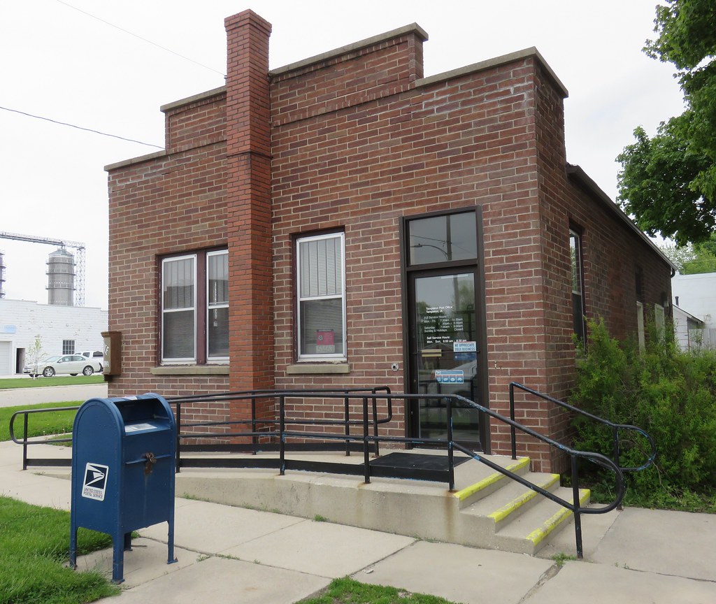
Post Office 51463 (Templeton, Iowa)
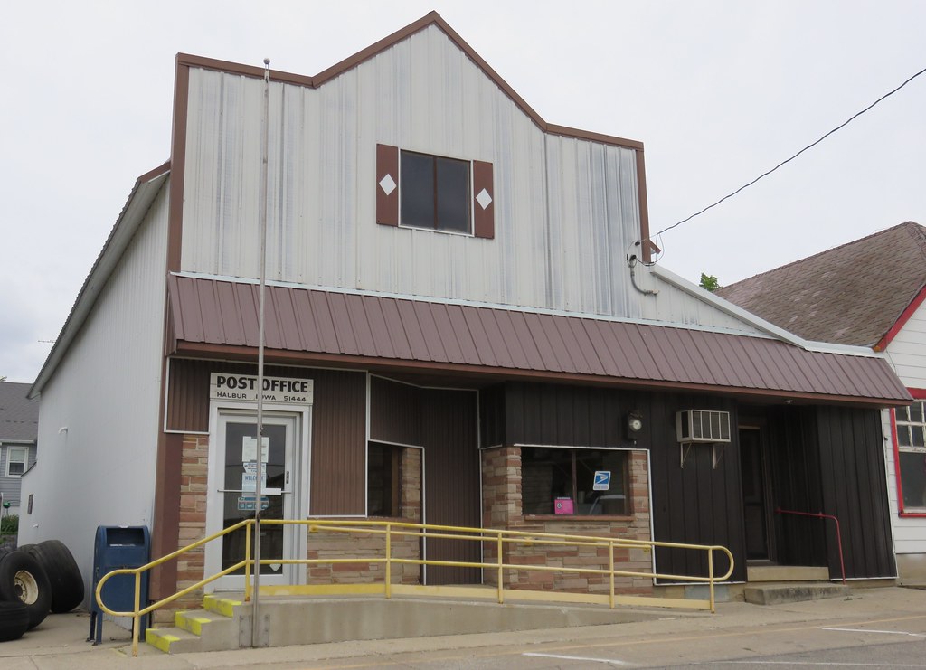
Post Office 51444 (Halbur, Iowa)
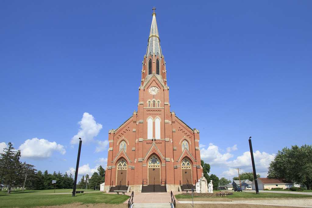
Holy Angels Church

Trinity Lutheran Church

Trinity Lutheran Church

Post Office 50110 (Gray, Iowa)
Topographic Map of 3rd St, Manning, IA, USA
Find elevation by address:

Places near 3rd St, Manning, IA, USA:
Manning
210 2nd St
Ewoldt
30704 Falcon Ave
Templeton
2nd Ave, Templeton, IA, USA
Halbur
3rd St, Carroll, IA, USA
Eden
Roselle
Polk
Audubon County
th St, Kirkman, IA, USA
Maple River
Guthrie St, Carroll, IA, USA
Audubon
16197 Ivy Ave
Ann Marie Riat, Pt
Douglas
Carroll
Recent Searches:
- Elevation of Pu Ngaol Community Meeting Hall, HWHM+3X7, Krong Saen Monourom, Cambodia
- Elevation of Royal Ontario Museum, Queens Park, Toronto, ON M5S 2C6, Canada
- Elevation of Groblershoop, South Africa
- Elevation of Power Generation Enterprises | Industrial Diesel Generators, Oak Ave, Canyon Country, CA, USA
- Elevation of Chesaw Rd, Oroville, WA, USA
- Elevation of N, Mt Pleasant, UT, USA
- Elevation of 6 Rue Jules Ferry, Beausoleil, France
- Elevation of Sattva Horizon, 4JC6+G9P, Vinayak Nagar, Kattigenahalli, Bengaluru, Karnataka, India
- Elevation of Great Brook Sports, Gold Star Hwy, Groton, CT, USA
- Elevation of 10 Mountain Laurels Dr, Nashua, NH, USA