Elevation of Hachimantai, Iwate Prefecture, Japan
Location: Japan > Iwate Prefecture >
Longitude: 141.071292
Latitude: 39.9564765
Elevation: 268m / 879feet
Barometric Pressure: 98KPa
Elevation Map:
Satellite Map:
Related Photos:
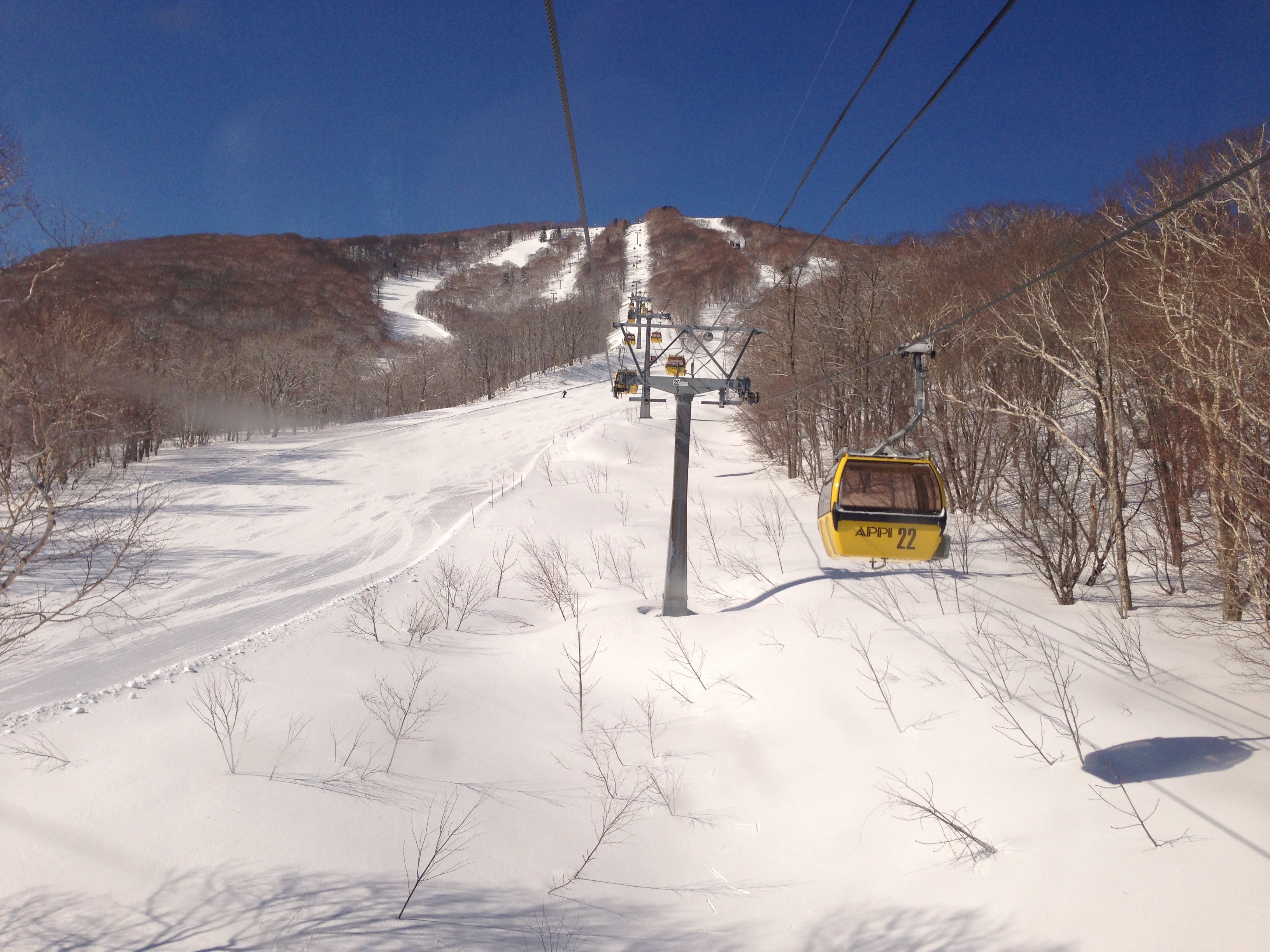
View from the gondola

Another view
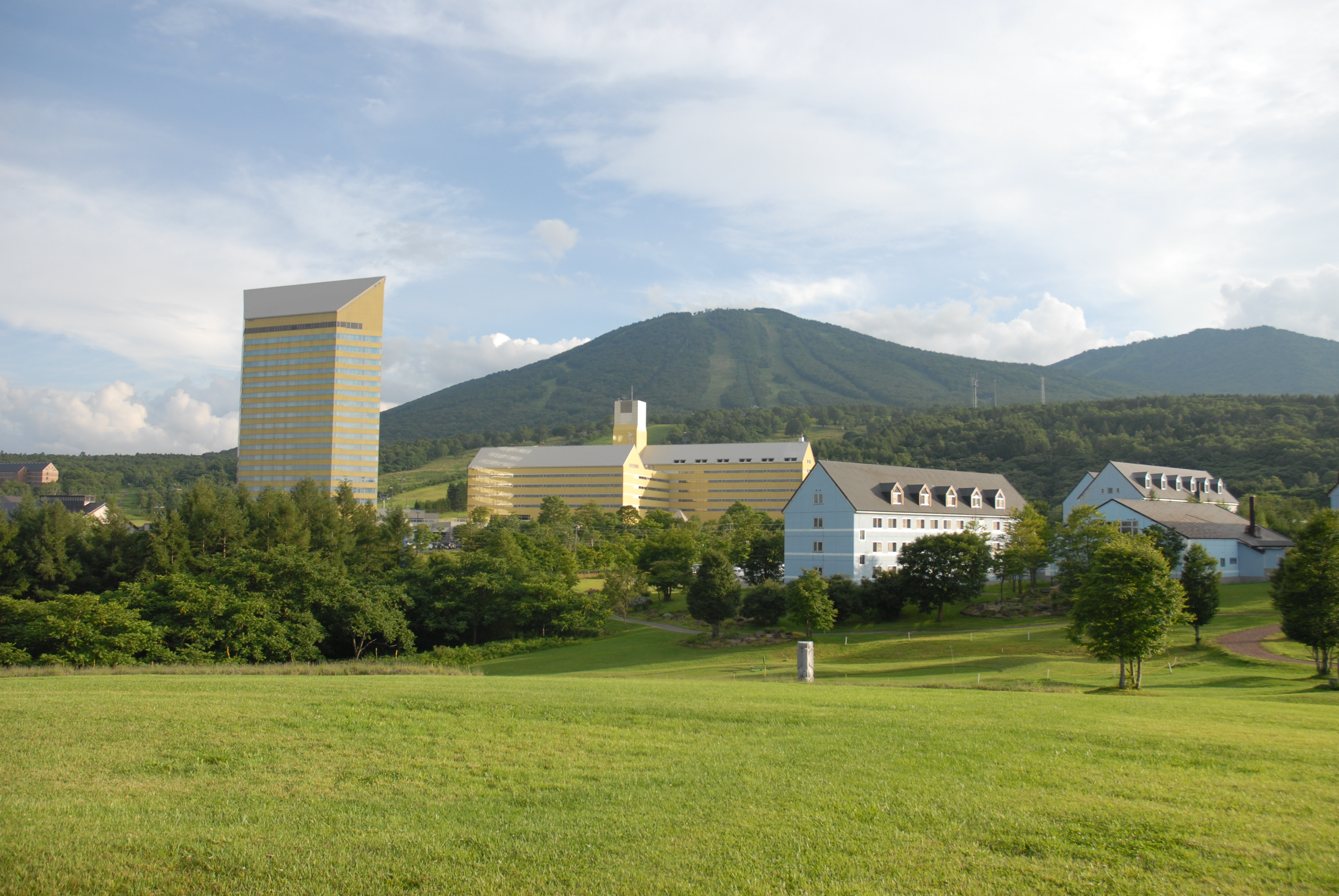
the whole view of hotel appi grand from appi ranch
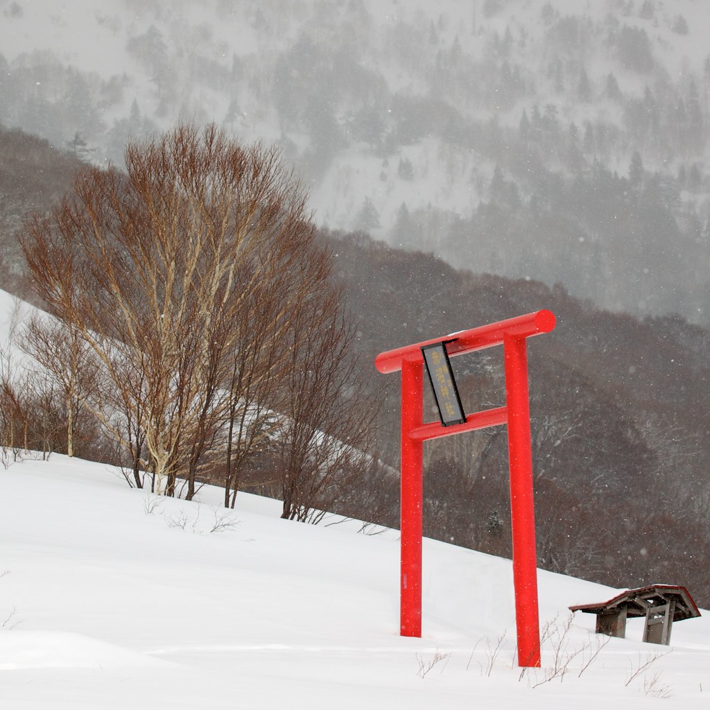
Winter, Hachimantai
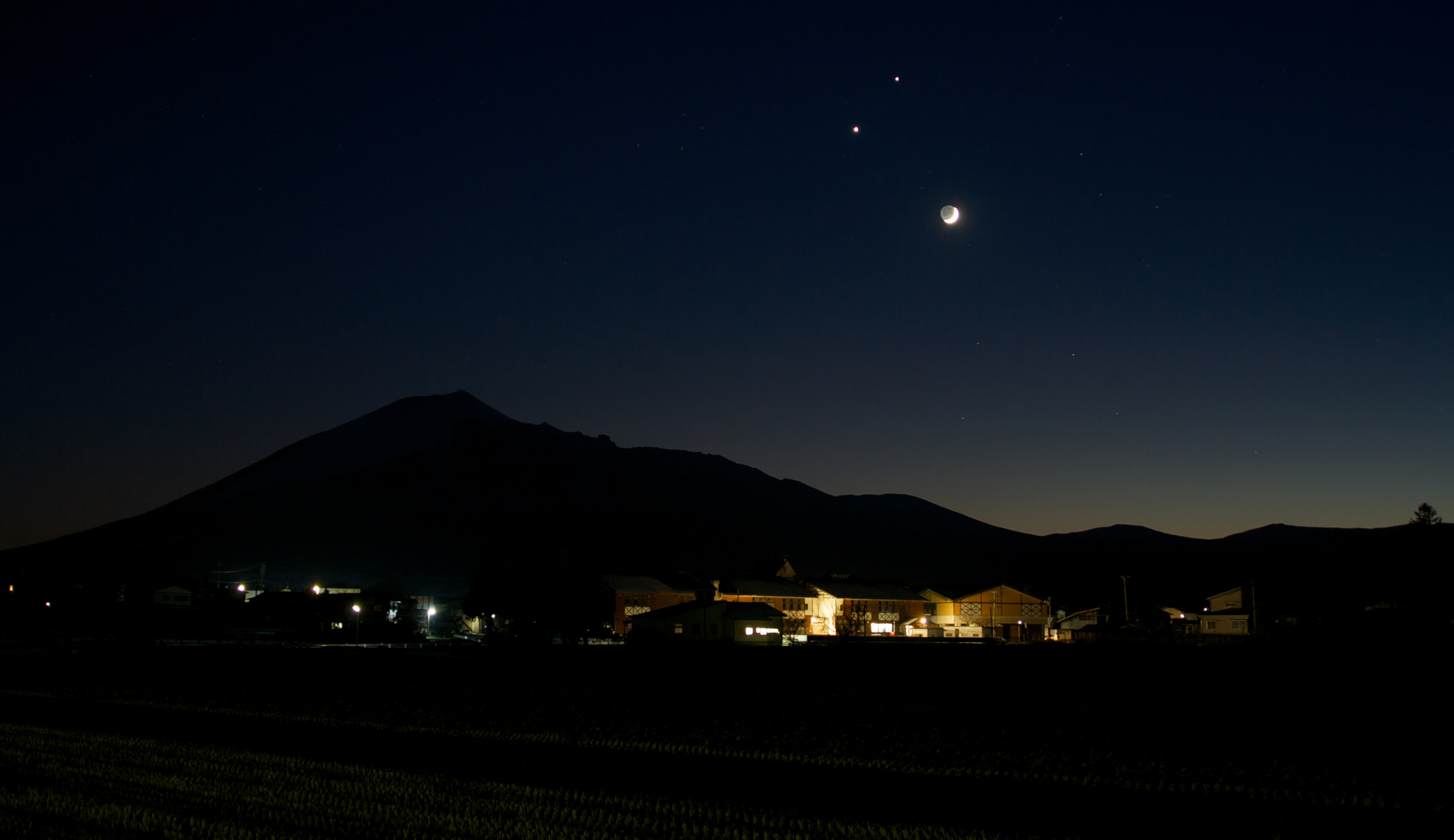
The Trio(Conjunction of Venus, Jupiter and The Moon)
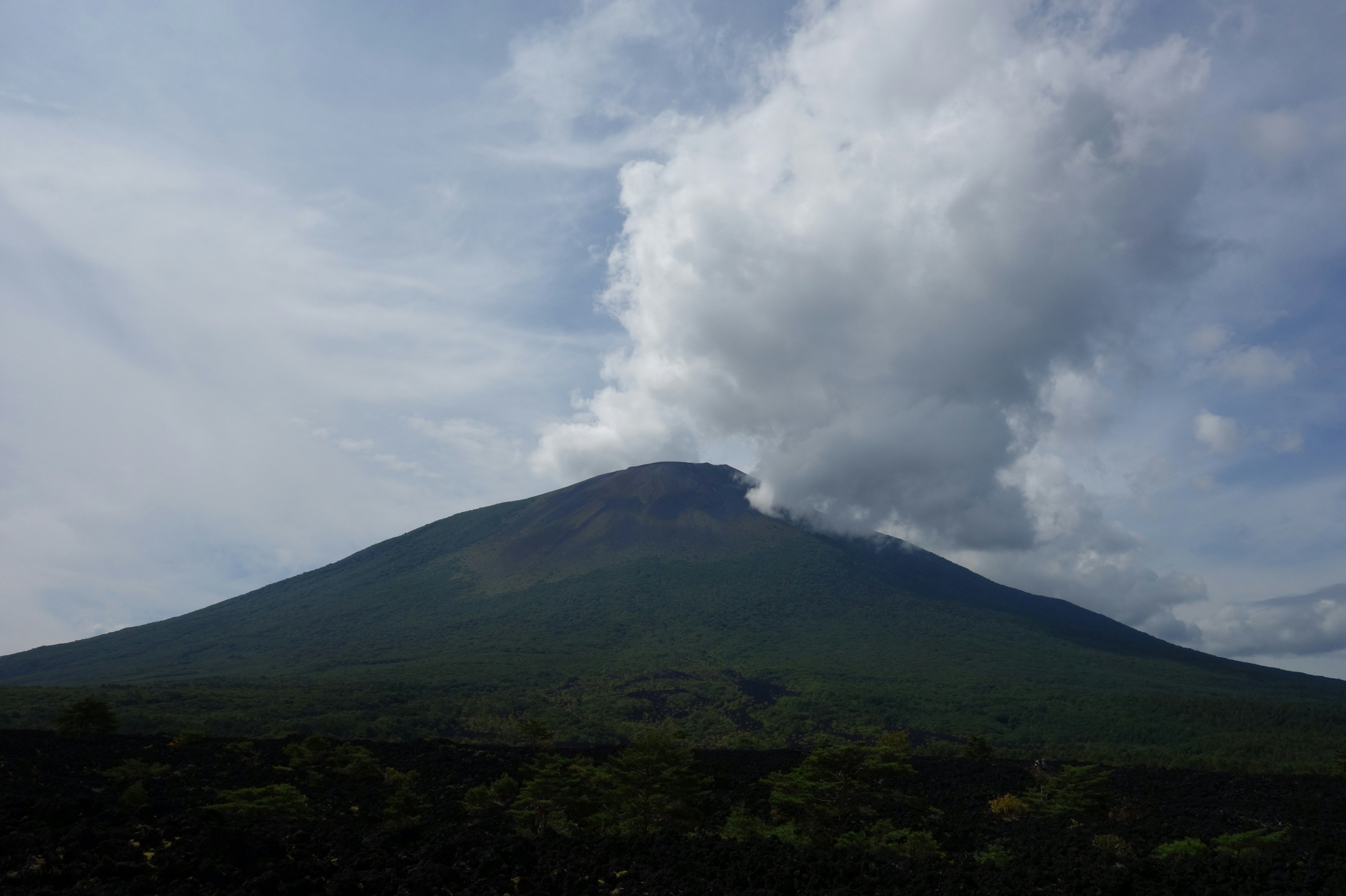
Mt.Iwate
安比温泉

岩手県2013 Iwate-ken
安比温泉
安比温泉
安比温泉
安比温泉

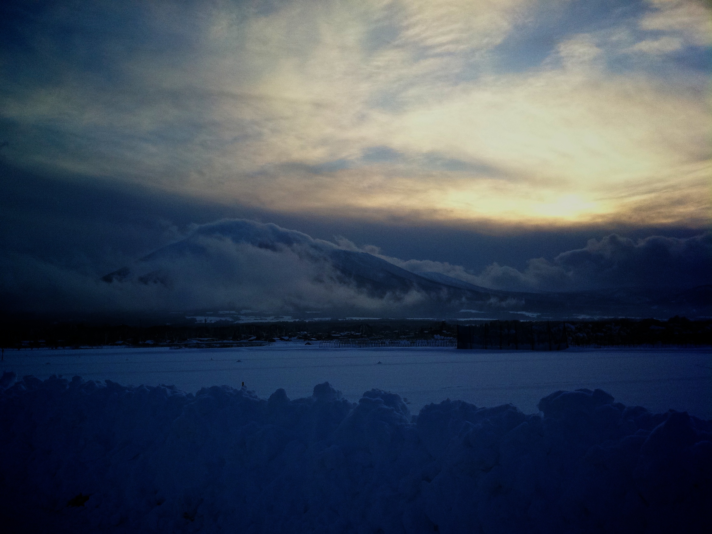
Mt.Iwate on Christmas Eve

雲海と岩手山
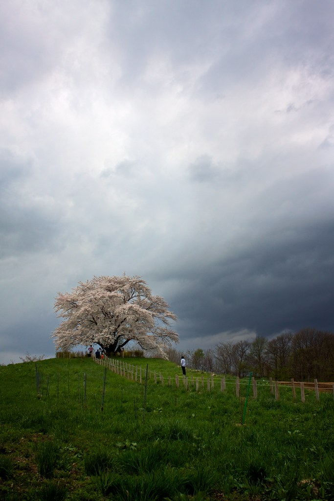
為内の一本桜
January Iwate

toward Mt. HAYACHINE from Mt. KURAKAKE
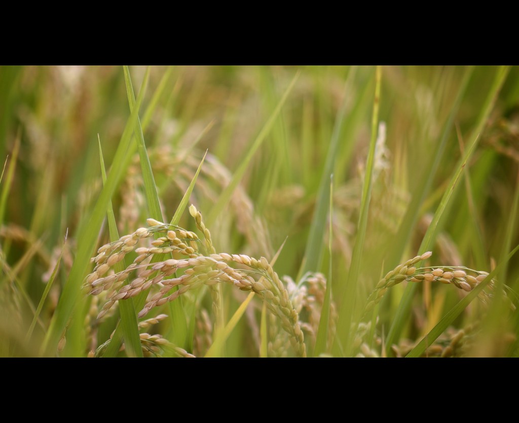
Rice is Ready
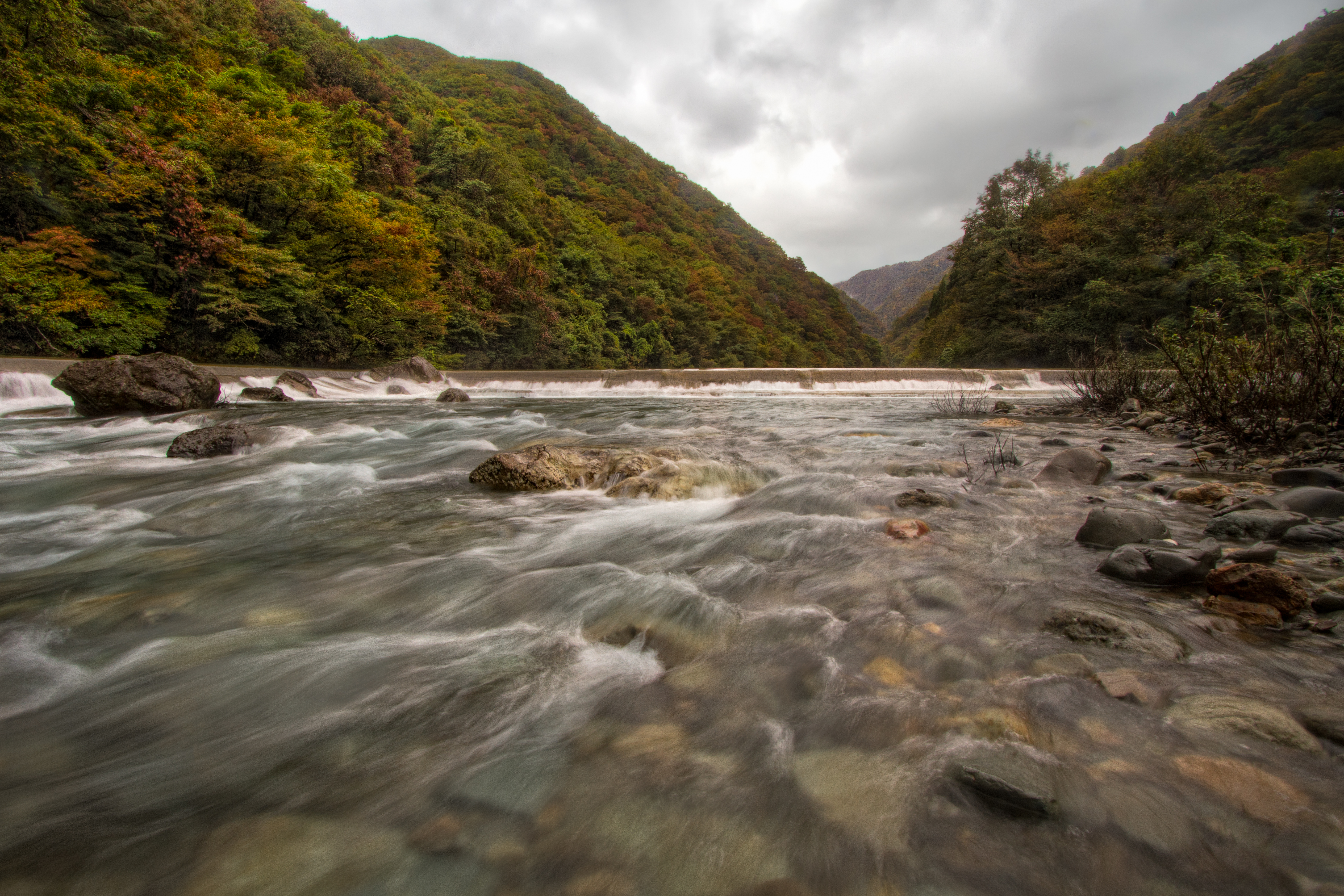
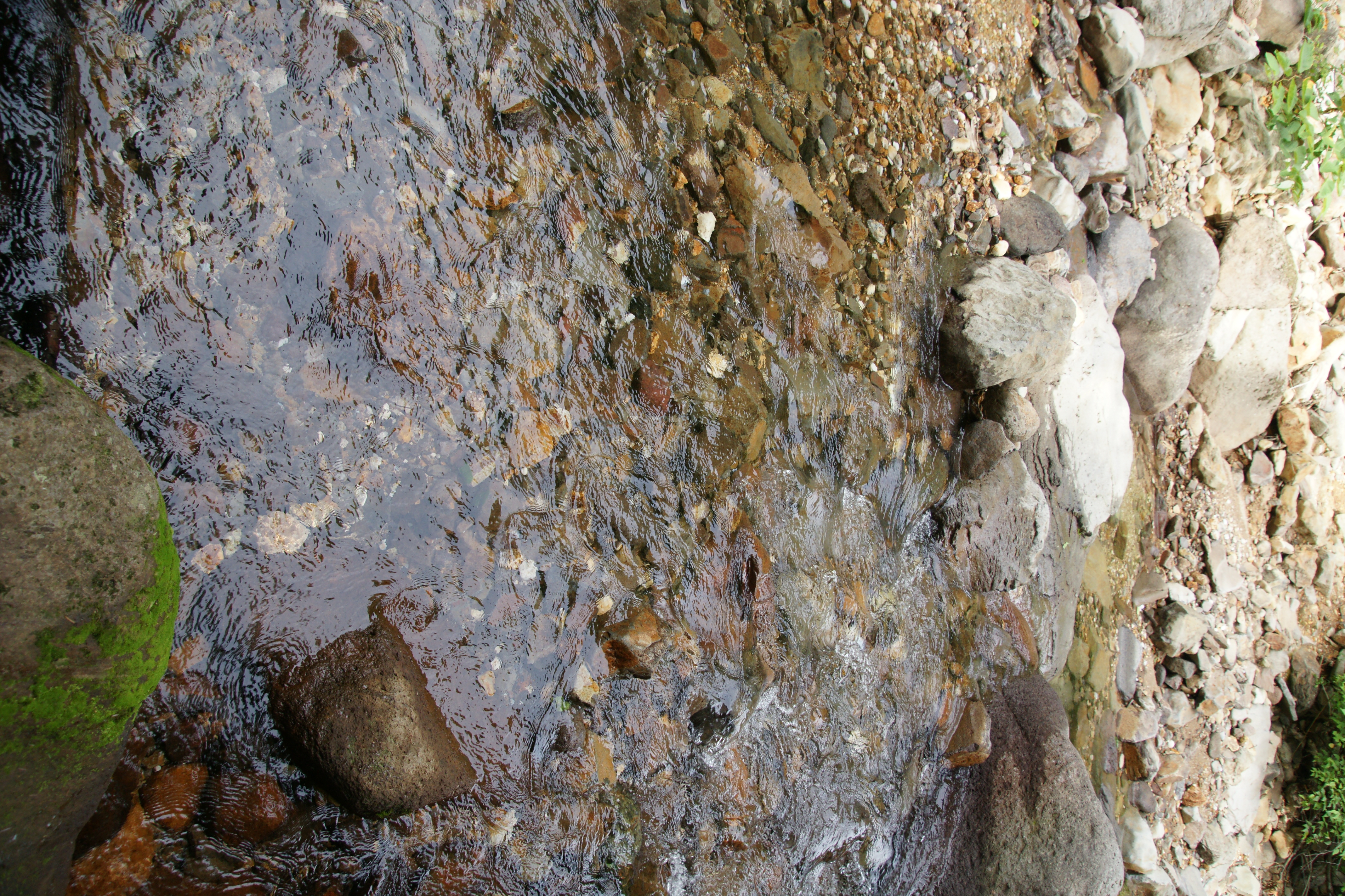
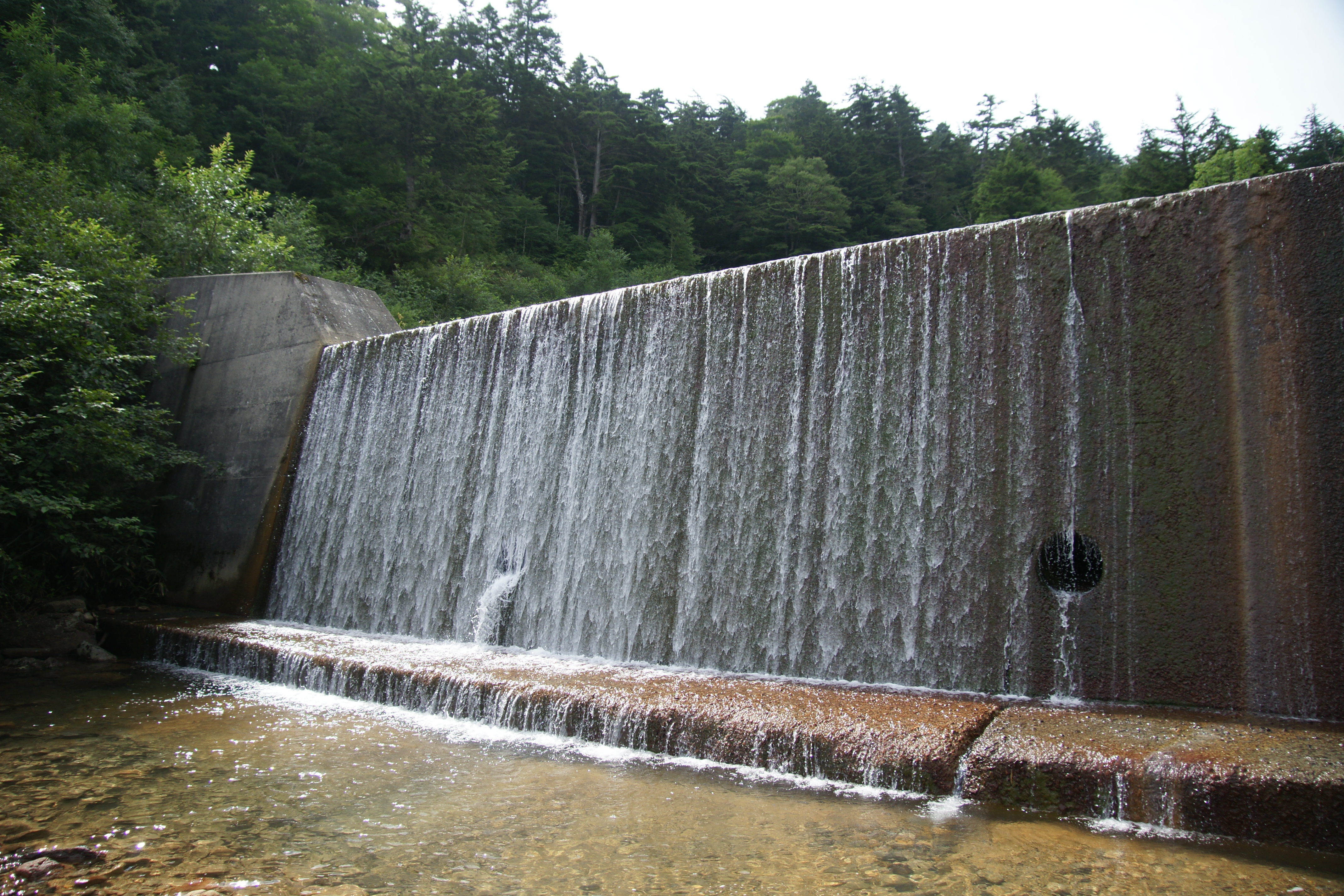
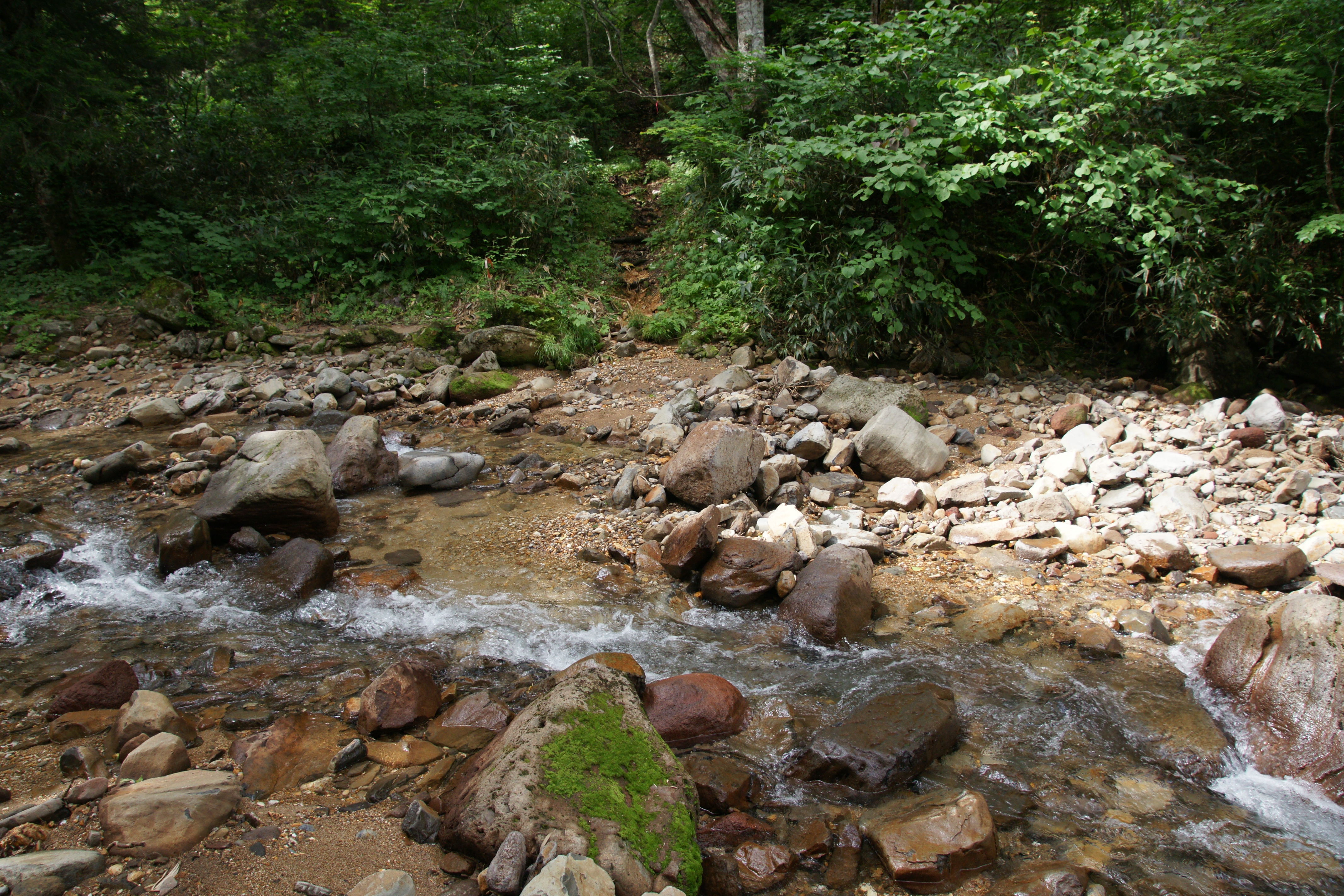
Autumn Stream
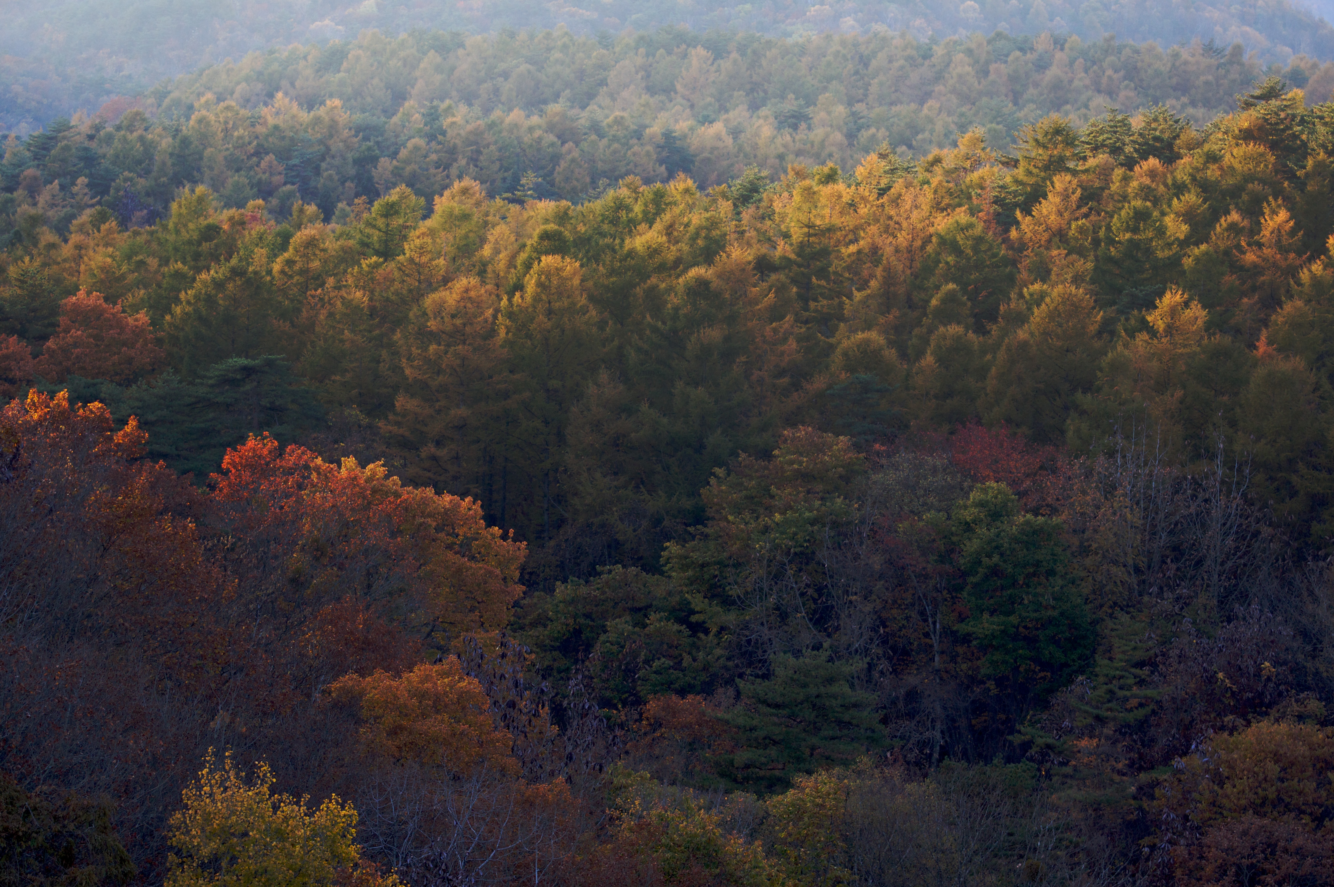
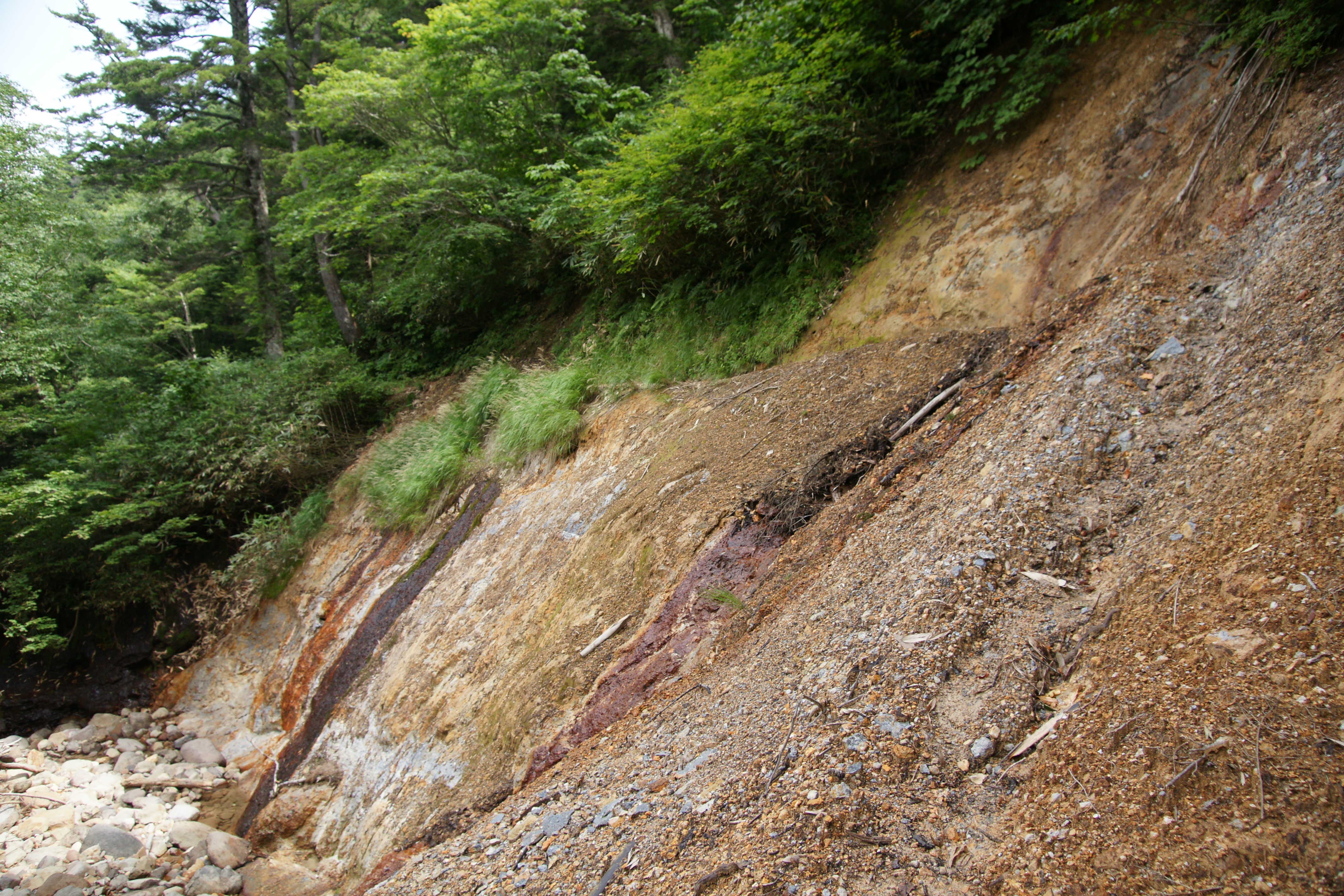
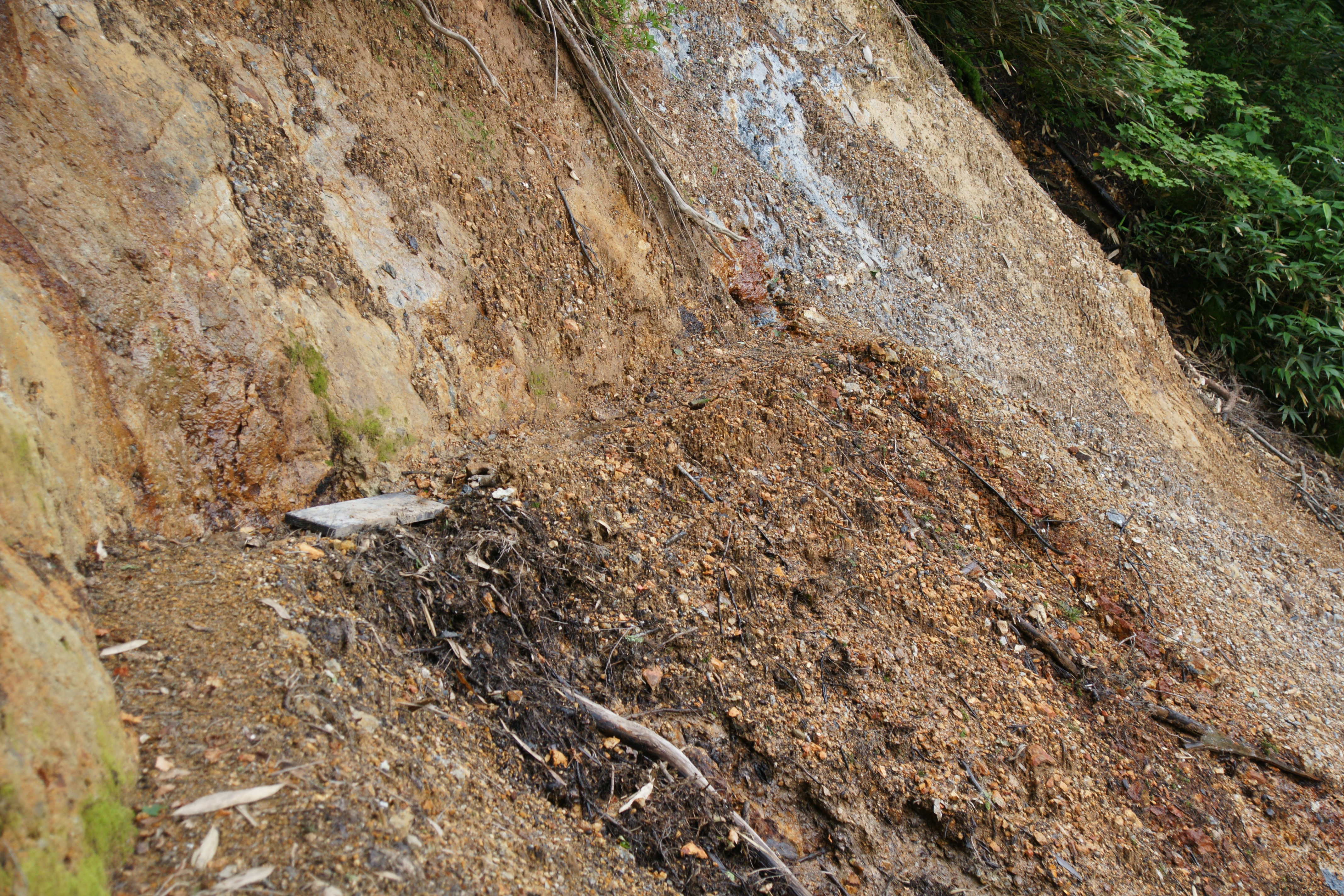
The quiet forests of mae mori mountain

Cosmic Tango

toward Mt. HAYACHINE from Mt. KURAKAKE
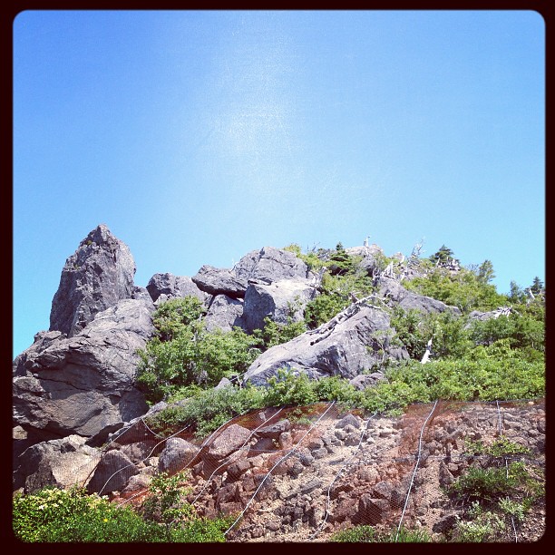
岩手の山、八幡平に登る、眼下は青々と緑、眼前にはかっこいい岩。白樺っぽい高原樹木の枯木が多い。標高1250m。
Topographic Map of Hachimantai, Iwate Prefecture, Japan
Find elevation by address:

Places in Hachimantai, Iwate Prefecture, Japan:
Ushiro
-4 Akasakata, Hachimantai-shi, Iwate-ken -, Japan
21 Yagami, Hachimantai-shi, Iwate-ken -, Japan
Dai 15 Chiwari-79 Katabira, Hachimantai-shi, Iwate-ken -, Japan
Places near Hachimantai, Iwate Prefecture, Japan:
Dai 15 Chiwari-79 Katabira, Hachimantai-shi, Iwate-ken -, Japan
Ushiro
-4 Akasakata, Hachimantai-shi, Iwate-ken -, Japan
Mount Iwate
456 Ushiro
Iwate
Kamikuwahata-64-27 Makibori, Morioka-shi, Iwate-ken -, Japan
21 Yagami, Hachimantai-shi, Iwate-ken -, Japan
Dai 22 Chiwari- Kawaguchi, Iwate-machi, Iwate-gun, Iwate-ken -, Japan
Iwate District
Shinden-37 Mega, Ichinohe-machi, Ninohe-gun, Iwate-ken -, Japan
Iwate Prefecture
Morioka
49 Sengarita, Shizukuishi-chō, Iwate-gun, Iwate-ken -, Japan
Shizukuishi
67 Shimomachihigashi, Shizukuishi-chō, Iwate-gun, Iwate-ken -, Japan
Ninohe District
Tonbigasawa-20 Yamaguchi, Takko-machi, Sannohe-gun, Aomori-ken -, Japan
Ichinohe
Dai 13 Chiwari--4 Kemuyama, Yahaba-chō, Shiwa-gun, Iwate-ken -, Japan
Recent Searches:
- Elevation of Corso Fratelli Cairoli, 35, Macerata MC, Italy
- Elevation of Tallevast Rd, Sarasota, FL, USA
- Elevation of 4th St E, Sonoma, CA, USA
- Elevation of Black Hollow Rd, Pennsdale, PA, USA
- Elevation of Oakland Ave, Williamsport, PA, USA
- Elevation of Pedrógão Grande, Portugal
- Elevation of Klee Dr, Martinsburg, WV, USA
- Elevation of Via Roma, Pieranica CR, Italy
- Elevation of Tavkvetili Mountain, Georgia
- Elevation of Hartfords Bluff Cir, Mt Pleasant, SC, USA