Elevation of Guttapadu, Andhra Pradesh, India
Location: India > Andhra Pradesh > Kurnool >
Longitude: 78.1646376
Latitude: 15.6649468
Elevation: 338m / 1109feet
Barometric Pressure: 97KPa
Elevation Map:
Satellite Map:
Related Photos:

Bird Lonely

High at the top of the tower
Shine at your best
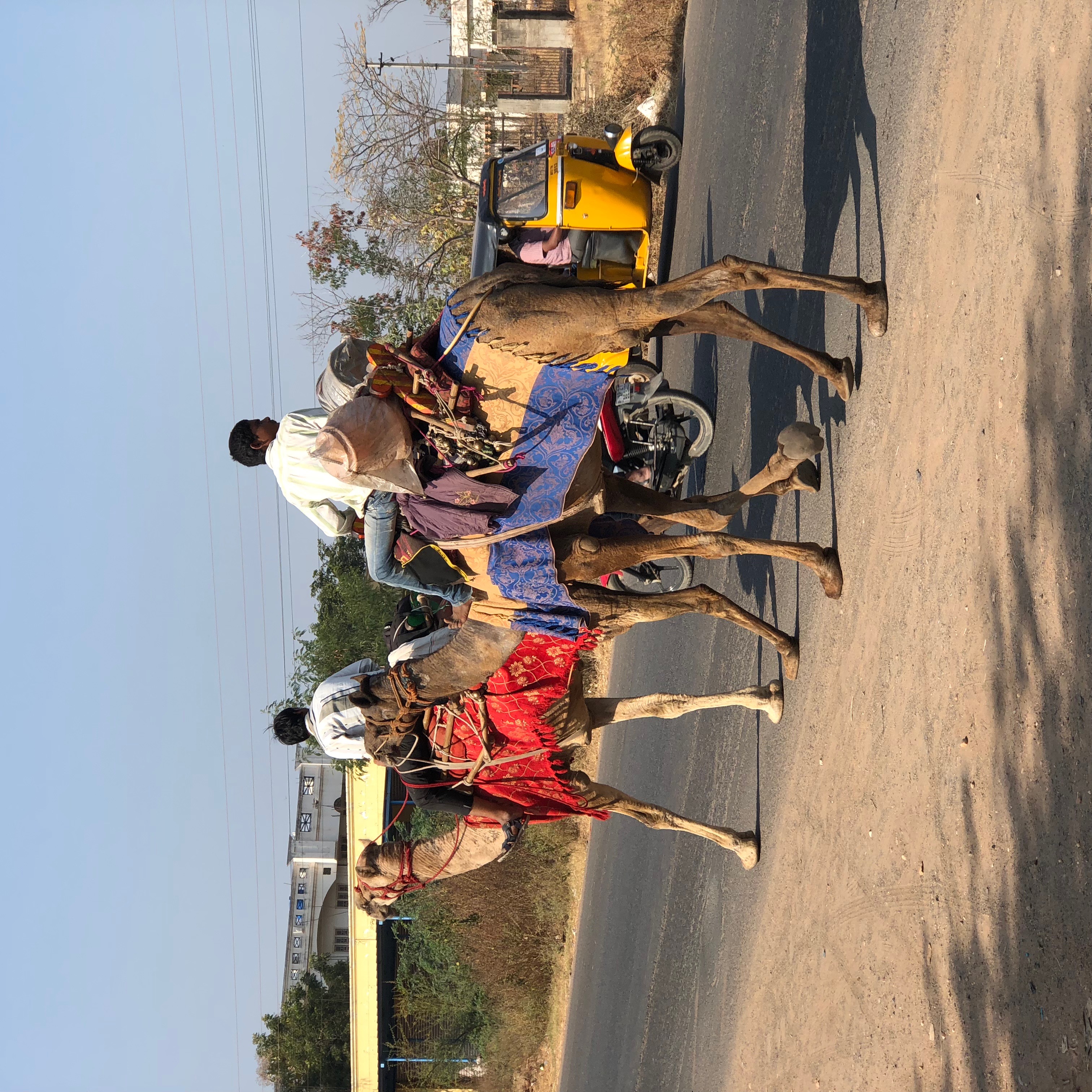
Camels at Kurnool AP India

Magical Skies-54

.

.
Topographic Map of Guttapadu, Andhra Pradesh, India
Find elevation by address:

Places near Guttapadu, Andhra Pradesh, India:
Orvakal
N.konthalapadu
Hussaina Puram
Kannamadakala
Kalva
Tippaya Palle
Kurnool
Uppalapadu
Meedivemula
Pudicherla
Zph School Sakunala
Palakolanu
Gudumbai Tanda
Sekunala
Ketavaram
Somayajula Palle
Somayajula Palli Bus Stop
Nannur
Uyyalawada
Loddipalle
Recent Searches:
- Elevation of Woodland Oak Pl, Thousand Oaks, CA, USA
- Elevation of Brownsdale Rd, Renfrew, PA, USA
- Elevation of Corcoran Ln, Suffolk, VA, USA
- Elevation of Mamala II, Sariaya, Quezon, Philippines
- Elevation of Sarangdanda, Nepal
- Elevation of 7 Waterfall Way, Tomball, TX, USA
- Elevation of SW 57th Ave, Portland, OR, USA
- Elevation of Crocker Dr, Vacaville, CA, USA
- Elevation of Pu Ngaol Community Meeting Hall, HWHM+3X7, Krong Saen Monourom, Cambodia
- Elevation of Royal Ontario Museum, Queens Park, Toronto, ON M5S 2C6, Canada