Elevation of Uyyalawada, Andhra Pradesh, India
Location: India > Andhra Pradesh > Kurnool >
Longitude: 78.0751774
Latitude: 15.6294155
Elevation: 377m / 1237feet
Barometric Pressure: 97KPa
Elevation Map:
Satellite Map:
Related Photos:

High at the top of the tower

Bird Lonely
Shine at your best
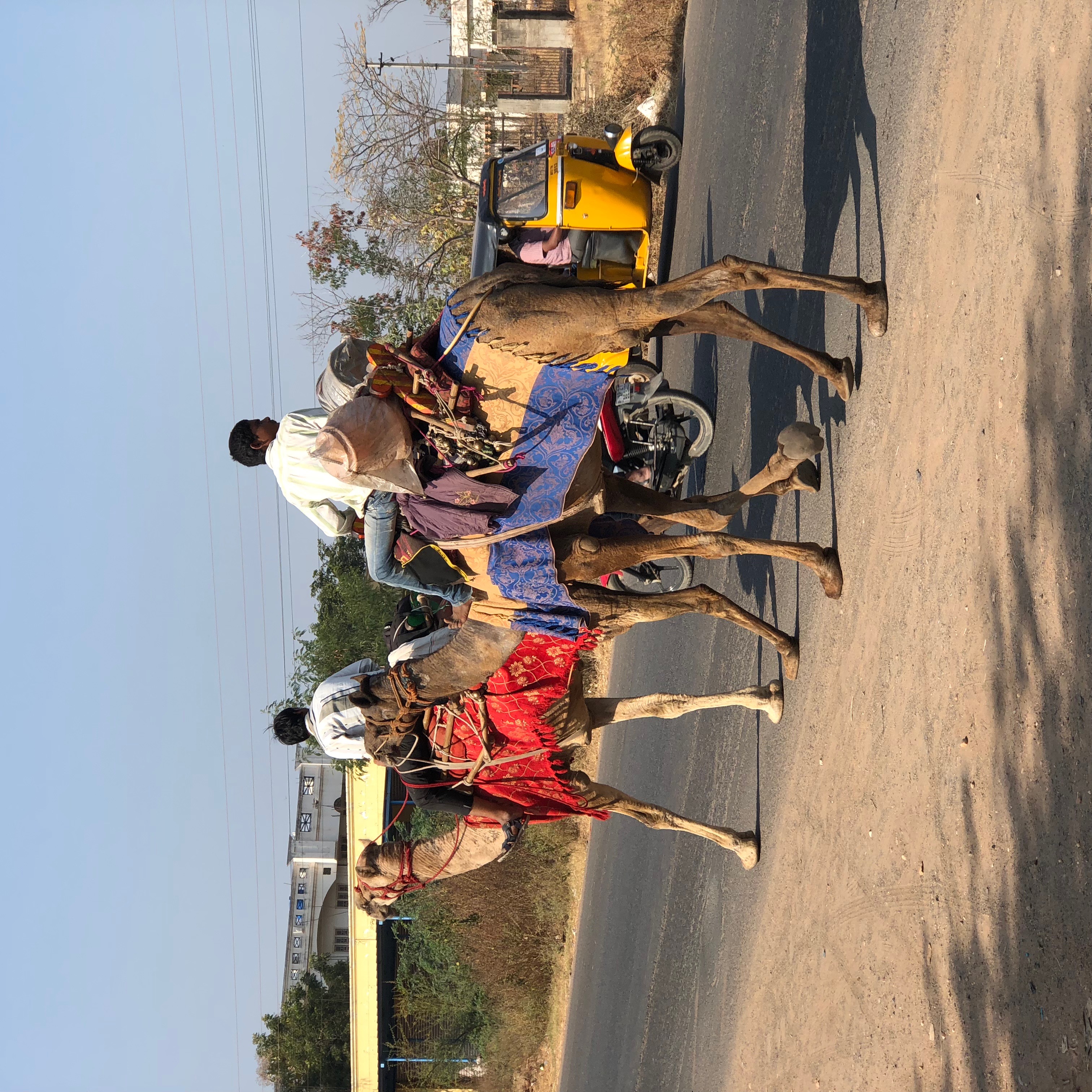
Camels at Kurnool AP India

Magical Skies-54

.

.
Topographic Map of Uyyalawada, Andhra Pradesh, India
Find elevation by address:

Places near Uyyalawada, Andhra Pradesh, India:
Kalugotla
Kurnool
Uppalapadu
N.konthalapadu
Palakolanu
Komarolu
Hussaina Puram
Somayajula Palli Bus Stop
Somayajula Palle
Kalva
Gudumbai Tanda
Thammarajupalli
Pinnapuram
Kandikayapalle Limestone Quarry
Kandikaya Palle
Konidedu
Panyam
Kowluru
Balapanur
Recent Searches:
- Elevation of 3 Nestling Wood Dr, Long Valley, NJ, USA
- Elevation of Ilungu, Tanzania
- Elevation of Yellow Springs Road, Yellow Springs Rd, Chester Springs, PA, USA
- Elevation of Rēzekne Municipality, Latvia
- Elevation of Plikpūrmaļi, Vērēmi Parish, Rēzekne Municipality, LV-, Latvia
- Elevation of 2 Henschke Ct, Caboolture QLD, Australia
- Elevation of Redondo Ave, Long Beach, CA, USA
- Elevation of Sadovaya Ulitsa, 20, Rezh, Sverdlovskaya oblast', Russia
- Elevation of Ulitsa Kalinina, 79, Rezh, Sverdlovskaya oblast', Russia
- Elevation of 72-31 Metropolitan Ave, Middle Village, NY, USA