Elevation of Gulfway Dr, Port Arthur, TX, USA

Location: United States > Texas > Jefferson County > Port Arthur >

Longitude: -93.96316

Latitude: 29.830883

Elevation: 3m / 10feet

Barometric Pressure: 101KPa

Elevation Map:

elevation map of Gulfway Dr, Port Arthur, TX, USA

Satellite Map:

Satellite map of Gulfway Dr, Port Arthur, TX, USA

Related Photos:

texas navy civilwar battlefield 1863 sabinepass
Sabine Pass Battlefield
texas ceruleanwarbler ebird rarebirdalert canon500mmf4 5dmkii codyconway tosrba
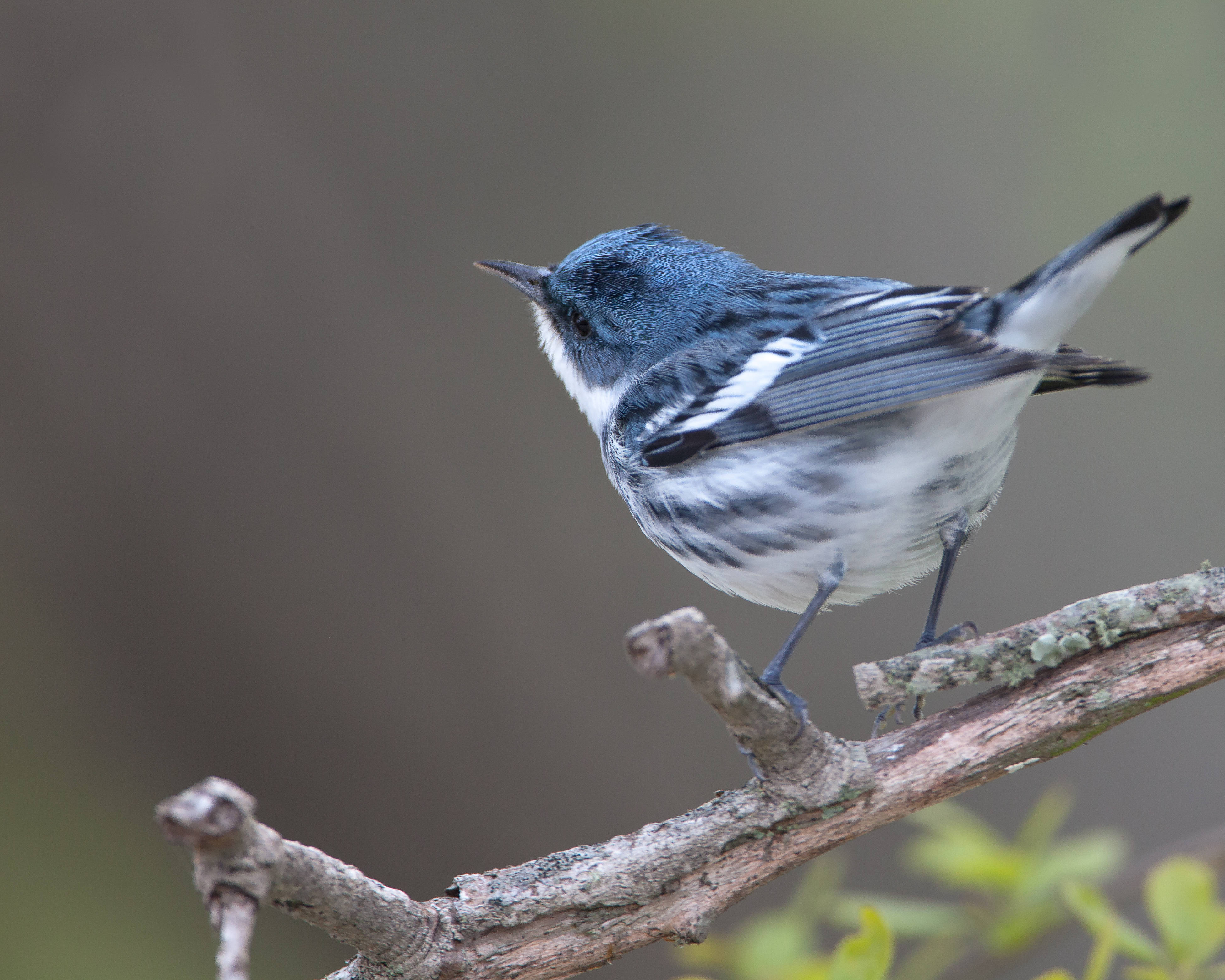
Cerulean Warbler - No Fash
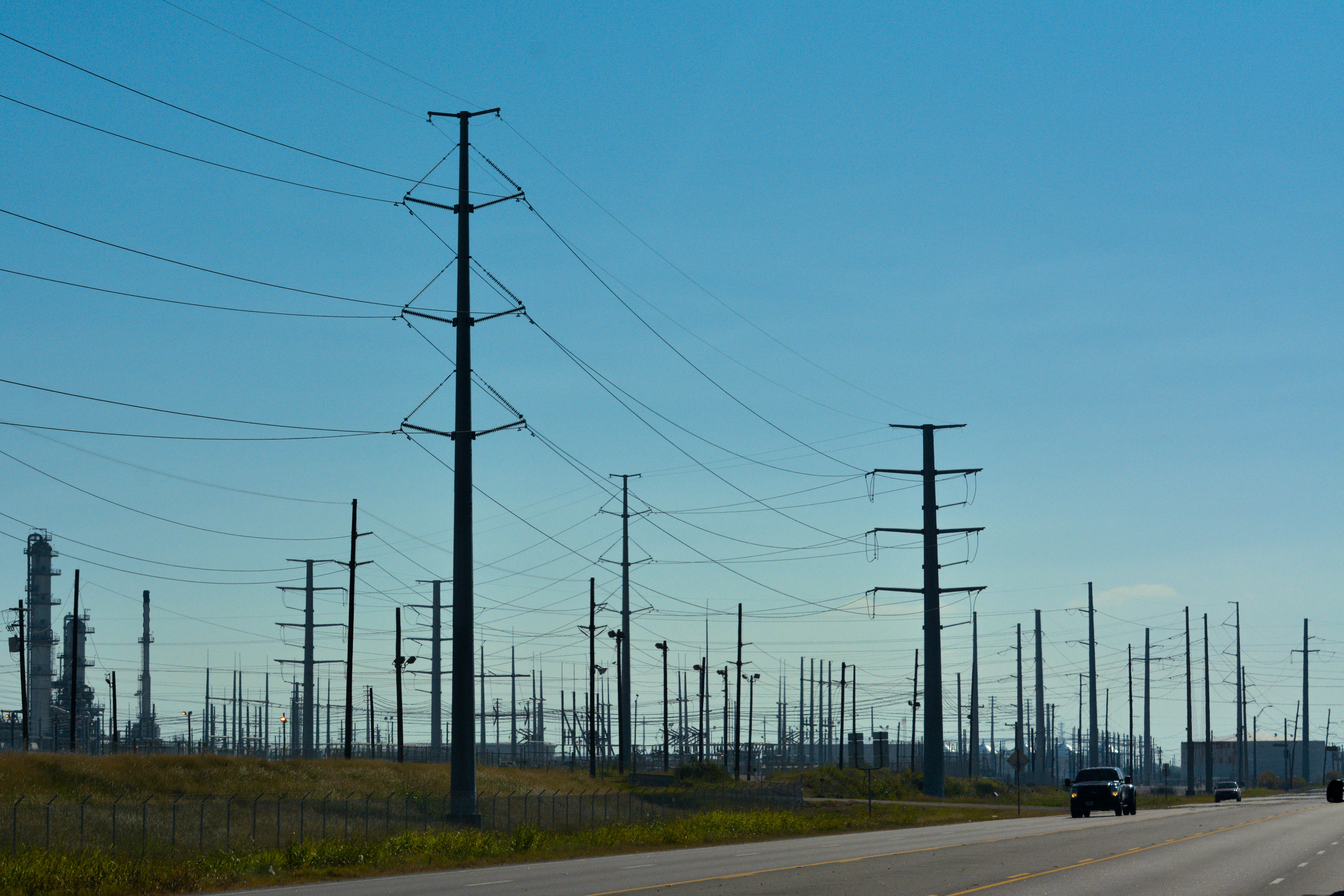
texasportarthursunsetwatershrimpboatsdramaticsky
Port Arthur, TX
beach nature sunrise louisiana peace gulf gull jetty pass estuary coastal sabine wooten greatnature dailynaturetnc09 gulftnc09 dailynaturetnc10 photocontesttnc10 lifetnc10 dailynaturetnc11 oceanstnc dailynaturetnc12 ronwooten ronwootenphotography
Sabine Pass Lighthouse at Sunrise
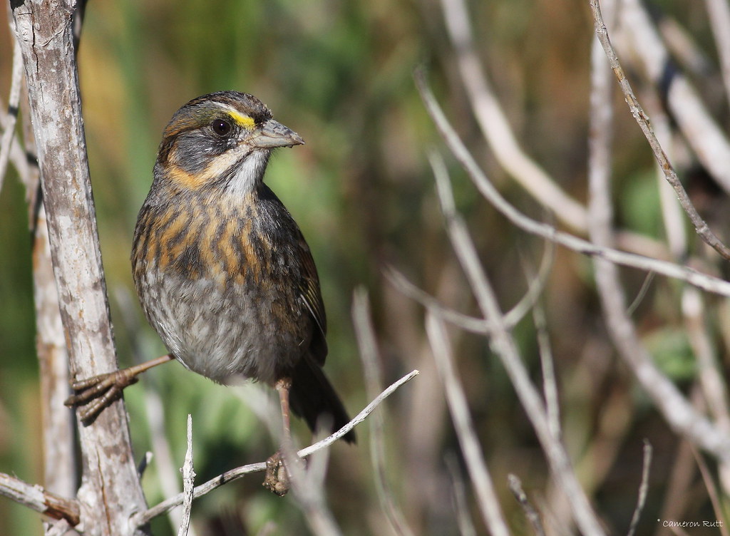
louisiana sparrow songbird cameronparish seasidesparrow ammodramusmaritumus
Seaside Sparrow
flowers usa plant water yellow photography photo october texas photographer image unitedstatesofamerica nopeople fav20 photograph 100 24mm fav30 f71 yellowflowers fineartphotography portarthur architecturalphotography 2015 jeffersoncounty colorimage commercialphotography fav10 architecturephotography intimatelandscape intimateseascape houstonphotographer ¹⁄₆₀sec tse24mmf35lii mabrycampbell october32015 20151003h6a1542
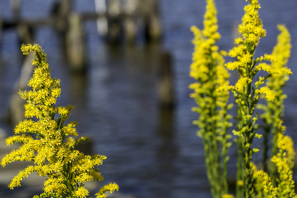
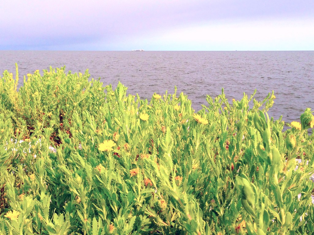
Yellow Flowers Around Rainbow Lane Port Arthur
square squareformat iphoneography instagramapp uploaded:by=instagram
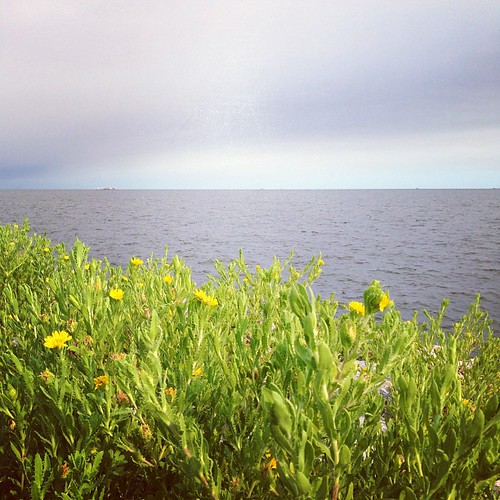
Sea Rim Beach #searimstatepark #gulfcoast
square squareformat mayfair iphoneography instagramapp uploaded:by=instagram
Beautiful day at the beach #searimstatepark #gulfcoast
Oldest living Oak in Texas.
square squareformat iphoneography instagramapp uploaded:by=instagram
Cool day on the gulf coast #searimstatepark #gulfcoast
street morning blue trees brown green yellow skyline clouds giant landscape outdoors big focus industrial day mood texas unitedstates zoom near horizon nation perspective highcontrast line sunlit distance powerful portarthur texastx unitedstatesofamericausa nikonnikkor colorcolorful adobephotoshoplightroom carautomobilevehicle cameraframeimagecaptureshotphotophotographdigital formywifetheloveofmylife
Texas Forest?
louisiana sparrow songbird cameronparish seasidesparrow ammodramusmaritumus
Seaside Sparrow
seawall uploaded:by=flickrmobile colorvibefilter flickriosapp:filter=colorvibe
Sabine lake
uploaded:by=flickrmobile flickriosapp:filter=nofilter
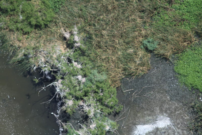
Swampland near Pleasure Island
square squareformat hudson iphoneography instagramapp uploaded:by=instagram foursquare:venue=4e87b060cc21e9e8593336f6
Instagrammed Sabine Lake
uploaded:by=flickrmobile flickriosapp:filter=nofilter
Bird on rock, Pleasure Island, TX
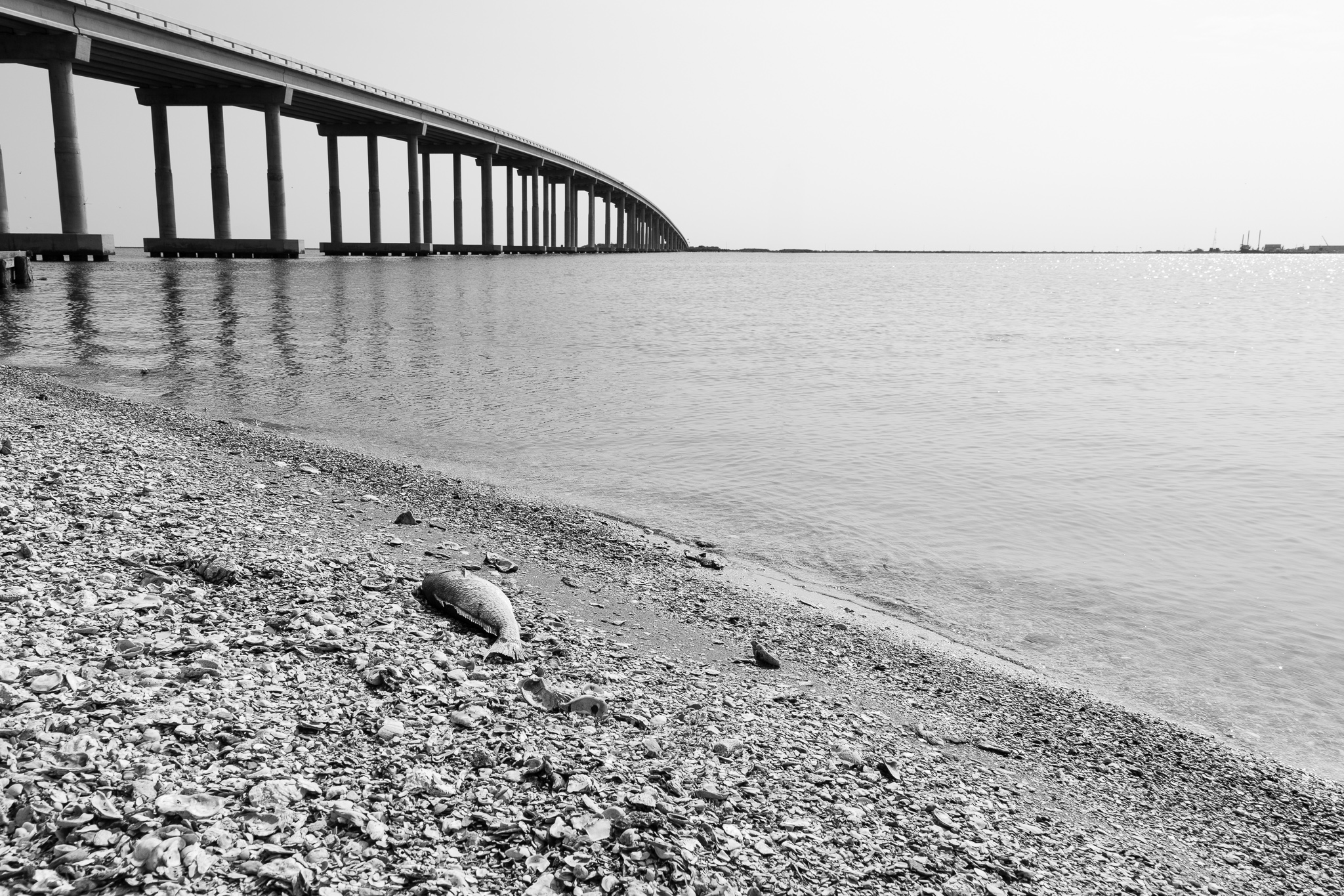
texas
Dead Fish
2012_06_29_009.jpg
migration greentailedtowhee 2011 pipilochlorurus lanina sabinepasstexas gtto sabinewoods ebirdrarity codyconway
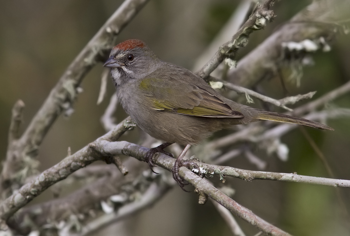
Green-tailed Towhee - Pipilo chlorurus
ocean longexposure morning sea blackandwhite bw usa white seascape motion detail water monochrome rock photography coast us photo movement october rocks waves photographer unitedstates image unitedstatesofamerica maine newengland august minimal coastal photograph le kennebunkport 100 24mm splash f71 squarecrop whitewash fineartphotography 200mm architecturalphotography 2015 commercialphotography fav10 2013 architecturephotography northeastus fineartphotographer houstonphotographer ¹⁄₅₀sec northeastunitedstates tse24mmf35lii ef100mmf28lmacroisusm mabrycampbell october32015 20151003h6a1549
White Wash IV
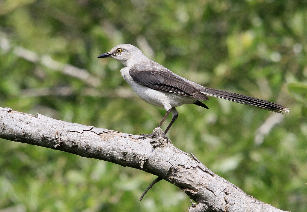
Trpoical Mockingbird
gulfofmexico water greenpeace aerial pollution oil bp foia usfws oilspill waterpollution usfishandwildlifeservice freedomofinformationact gulfoilspill 26june2010camera1card2
26 June 2010 Camera 1 Card 2 129
texas 2014 january2014 january192014
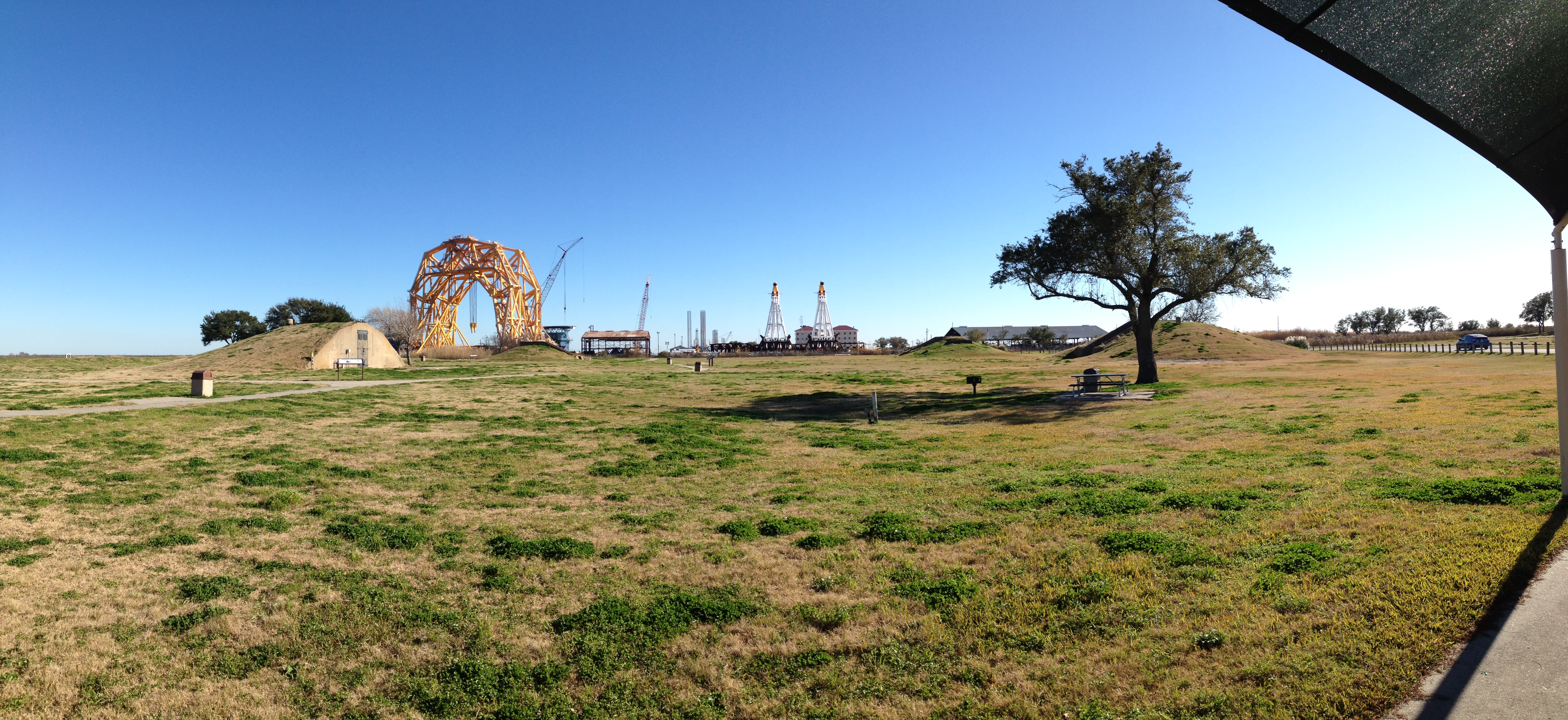
Sabine Pass Battleground State Historic Site