Elevation of Ray Ave, Port Arthur, TX, USA

Location: United States > Texas > Jefferson County > Port Arthur >

Longitude: -94.017399

Latitude: 29.8904946

Elevation: 0m / 0feet

Barometric Pressure: 101KPa

Elevation Map:

elevation map of Ray Ave, Port Arthur, TX, USA

Satellite Map:

Satellite map of Ray Ave, Port Arthur, TX, USA

Related Photos:

boat business capture dji digital drone image impression landscape logistics mjscanlon mjscanlonphotography mavik2 mavik2zoom merchandise mojo outdoor outdoors perspective photo photograph photographer photography picture portarthur quadcopter sabinenechescanal scanlon sunrise super texas tug tugboat view waterway wow ©mjscanlon ©mjscanlonphotography
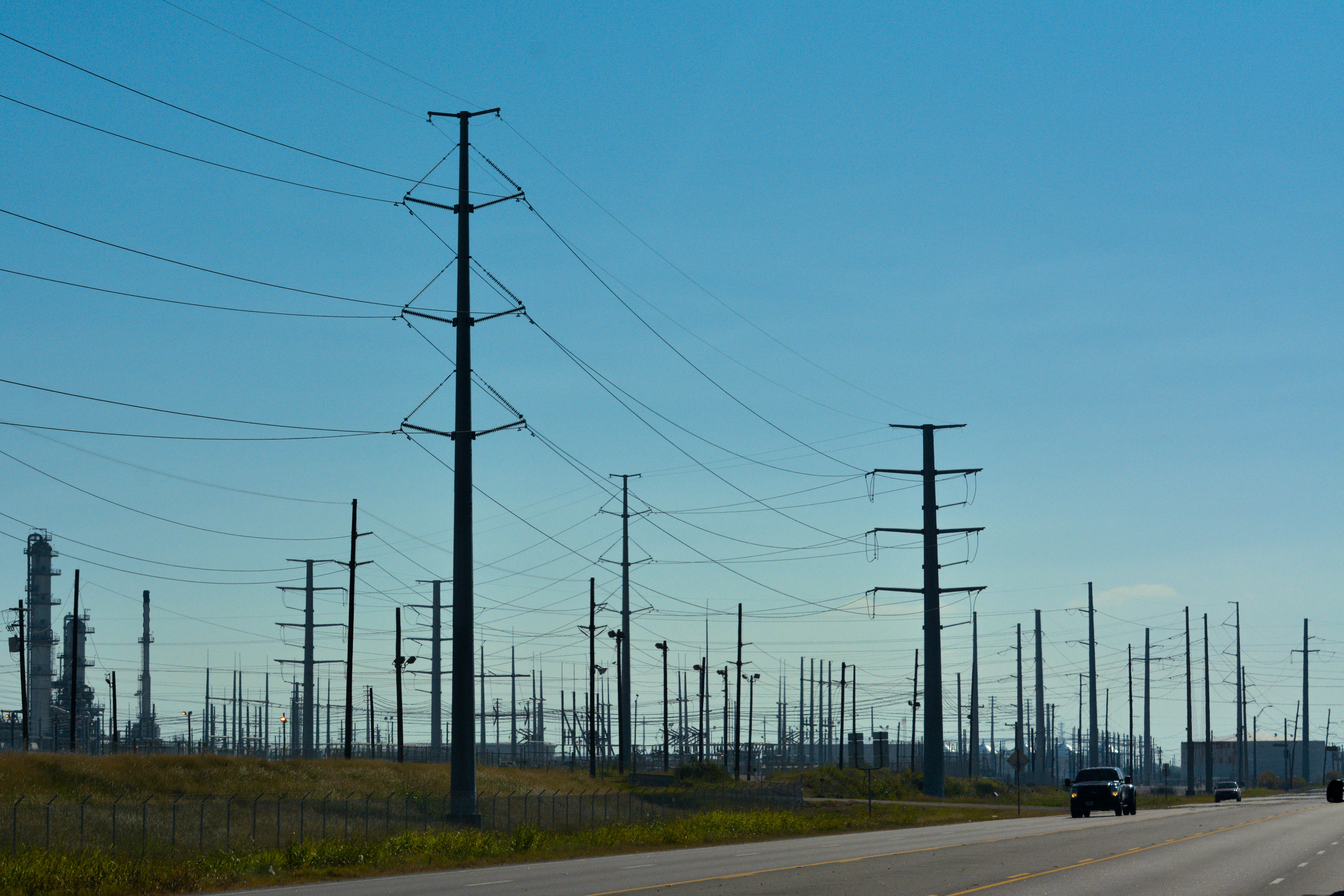
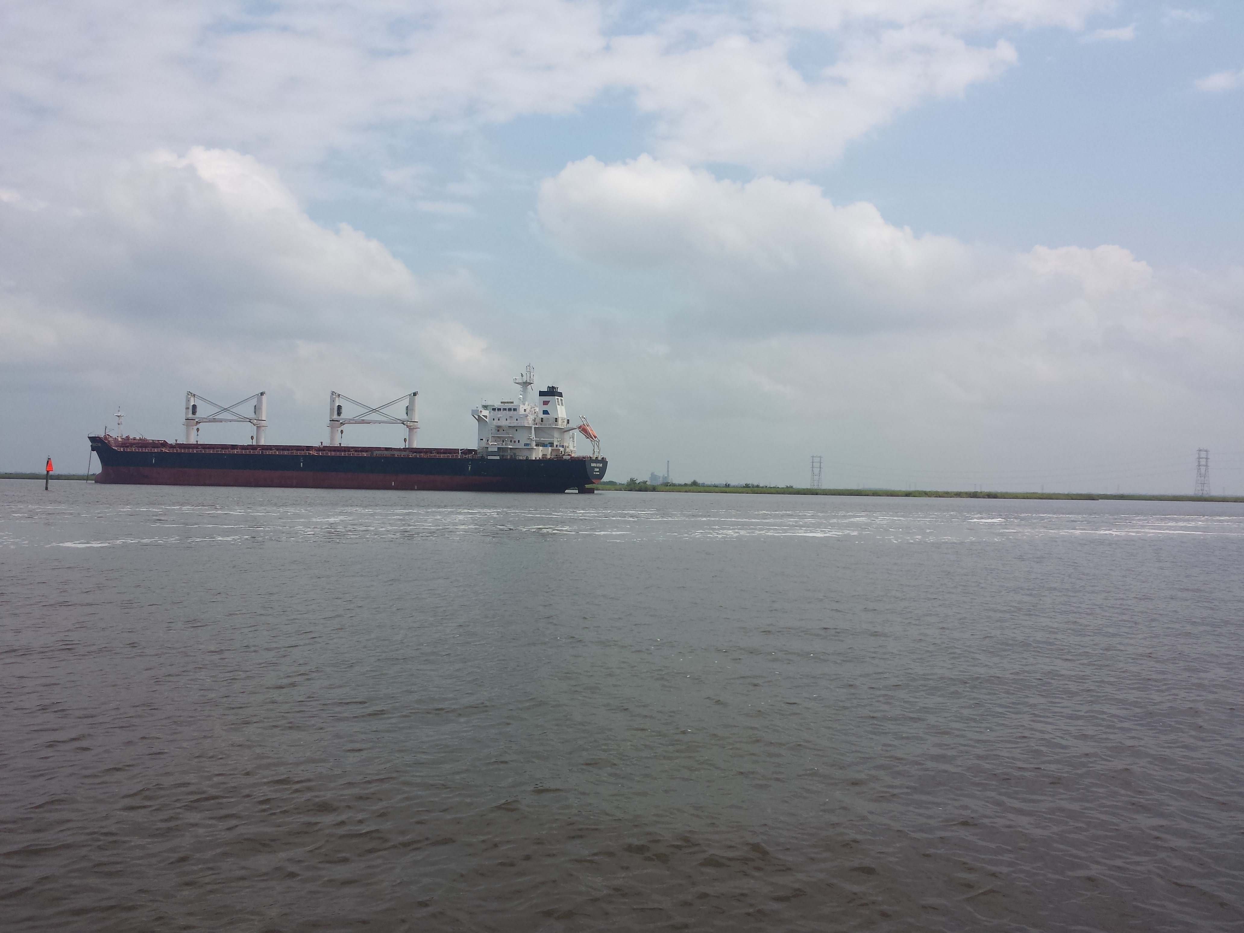
Sabine-Neches Canal | Port Arthur, Texas
jefferson county texas labelle road taylor bayou swing movable bridge drawbridge steel girder cypress trees united states north america
Lost Labelle Rd Swing Bridge over Taylor Bayou 1411091132
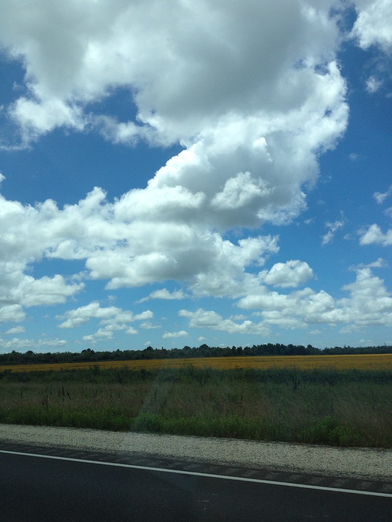
street morning blue trees brown green yellow skyline clouds giant landscape outdoors big focus industrial day mood texas unitedstates zoom near horizon nation perspective highcontrast line sunlit distance powerful portarthur texastx unitedstatesofamericausa nikonnikkor colorcolorful adobephotoshoplightroom carautomobilevehicle cameraframeimagecaptureshotphotophotographdigital formywifetheloveofmylife
Texas Forest?
square squareformat iphoneography instagramapp uploaded:by=instagram
Sea Rim Beach #searimstatepark #gulfcoast
uploaded:by=flickrmobile flickriosapp:filter=nofilter
Swampland near Pleasure Island
heading towards new orleans
square squareformat hudson iphoneography instagramapp uploaded:by=instagram foursquare:venue=4e87b060cc21e9e8593336f6
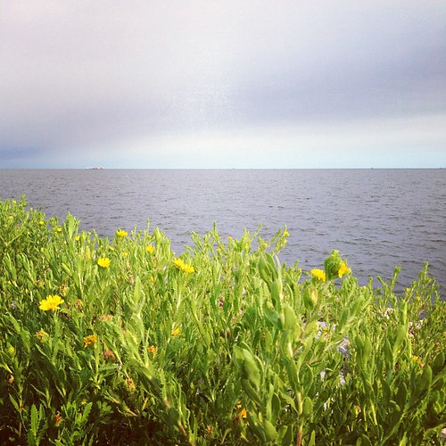
Instagrammed Sabine Lake
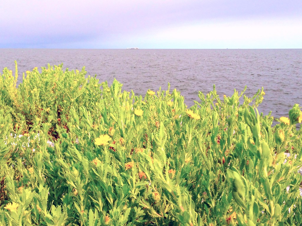
seawall uploaded:by=flickrmobile colorvibefilter flickriosapp:filter=colorvibe
Sabine lake
house wheel river texas restaraunt neches portneches
NEW RESTARAUNT
uploaded:by=flickrmobile flickriosapp:filter=nofilter
Bird on rock, Pleasure Island, TX
square squareformat iphoneography instagramapp uploaded:by=instagram
Cool day on the gulf coast #searimstatepark #gulfcoast
flowers usa plant water yellow photography photo october texas photographer image unitedstatesofamerica nopeople fav20 photograph 100 24mm fav30 f71 yellowflowers fineartphotography portarthur architecturalphotography 2015 jeffersoncounty colorimage commercialphotography fav10 architecturephotography intimatelandscape intimateseascape houstonphotographer ¹⁄₆₀sec tse24mmf35lii mabrycampbell october32015 20151003h6a1542
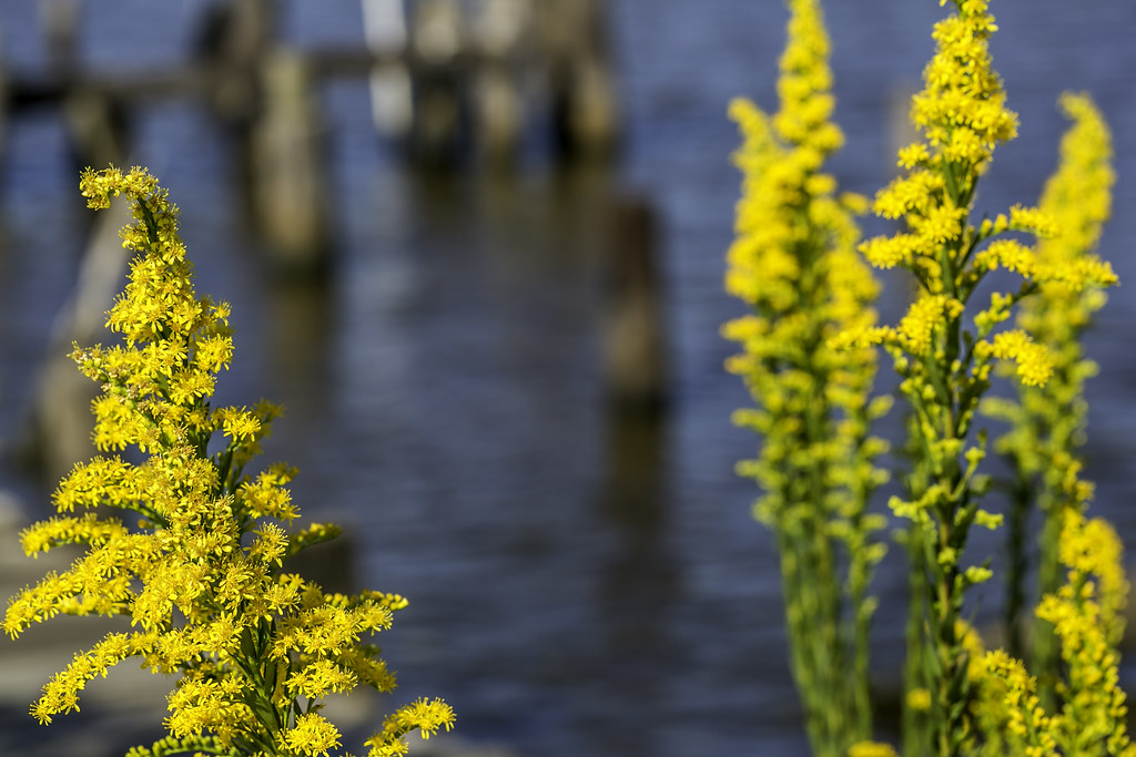
Yellow Flowers Around Rainbow Lane Port Arthur
backyardfunfactory swingsets swings outdoor backyard playground kids fortswithbridges bridgedforts forkids monkeybars slides rockwalls twisterslides playset picnictables trapeze firemanspole parkbench ramp adventureramp airpogo lemonadestand overheadclimber climbers woodenplaysets family landscape summer me park art tree selfie design people home happy morning new usa fun smile sunny digital market child sunshine baby swingset woodenswingset woodswingset backyardplayset backyardswingset swingsetaccessories playsetaccessories backyardfort woodenfort woodfort
Bridged Maverick playsets
portarthur
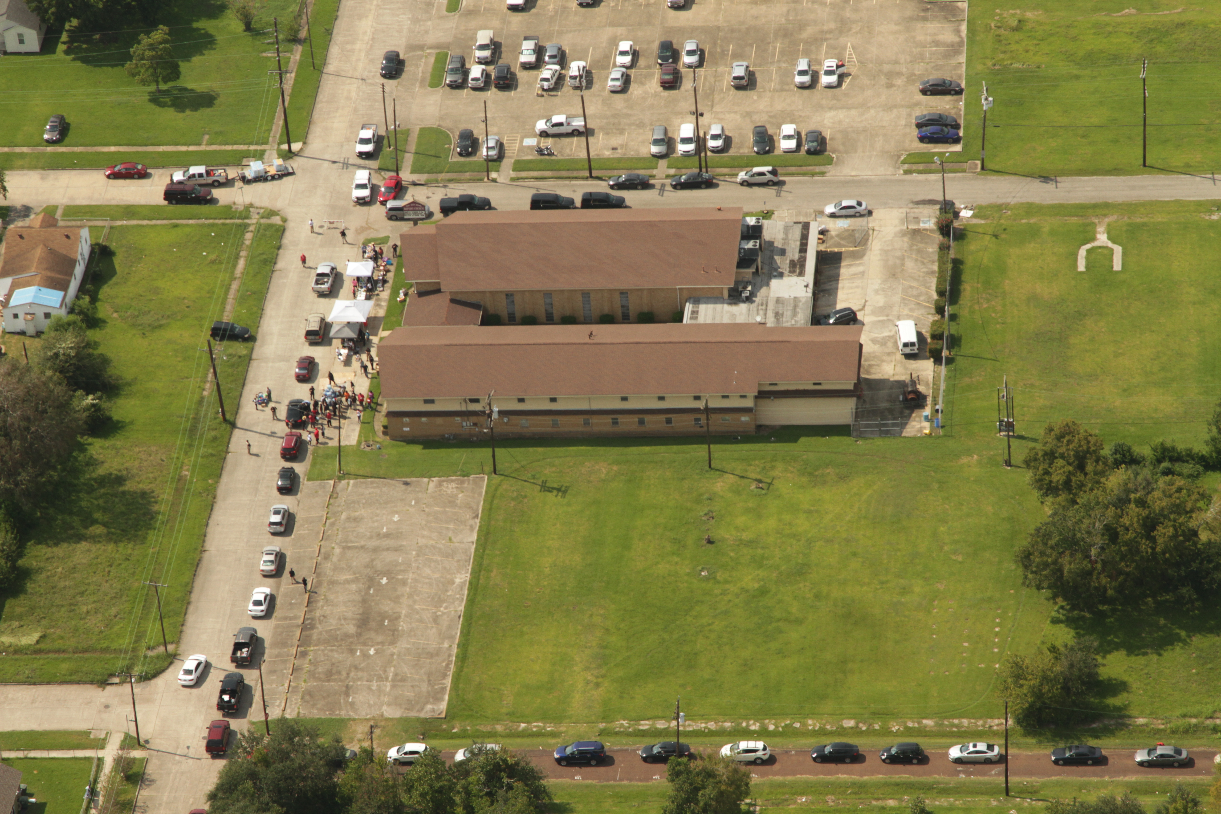
a IMG_6482 cars around hte block at port arthur
backyardfunfactory swingsets swings outdoor backyard playground kids fortswithbridges bridgedforts forkids monkeybars slides rockwalls twisterslides playset picnictables trapeze firemanspole parkbench ramp adventureramp airpogo lemonadestand overheadclimber climbers woodenplaysets family landscape summer me park art tree selfie design people home happy morning new usa fun smile sunny digital market child sunshine baby swingset woodenswingset woodswingset backyardplayset backyardswingset swingsetaccessories playsetaccessories backyardfort woodenfort woodfort
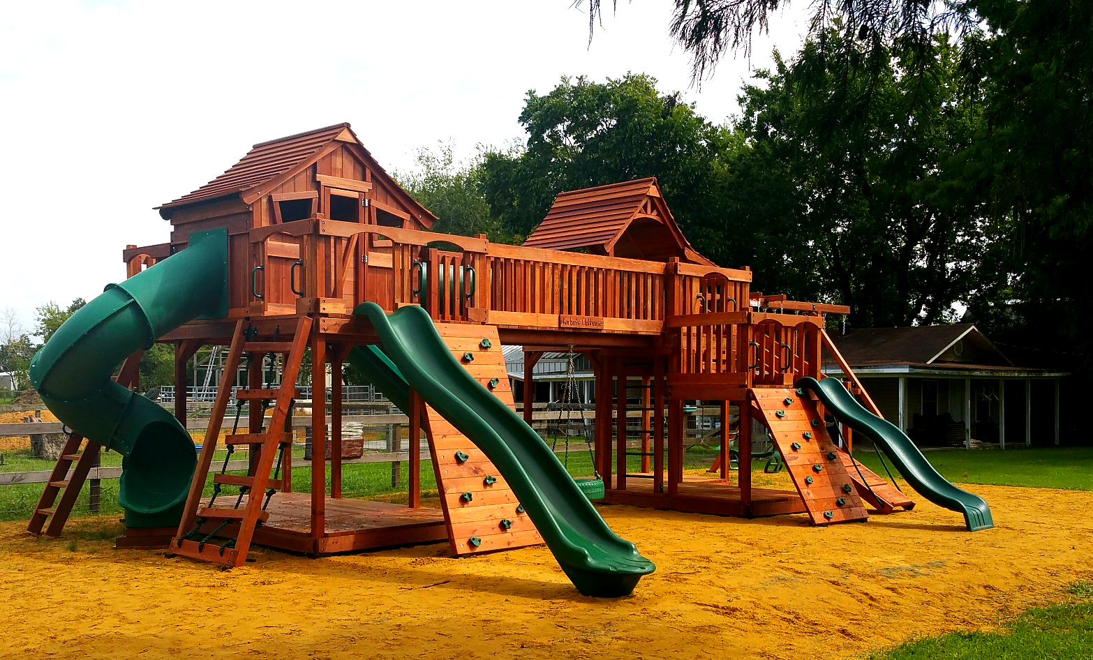
Bridged Fort Stockton to Mustang with Spiral Slide
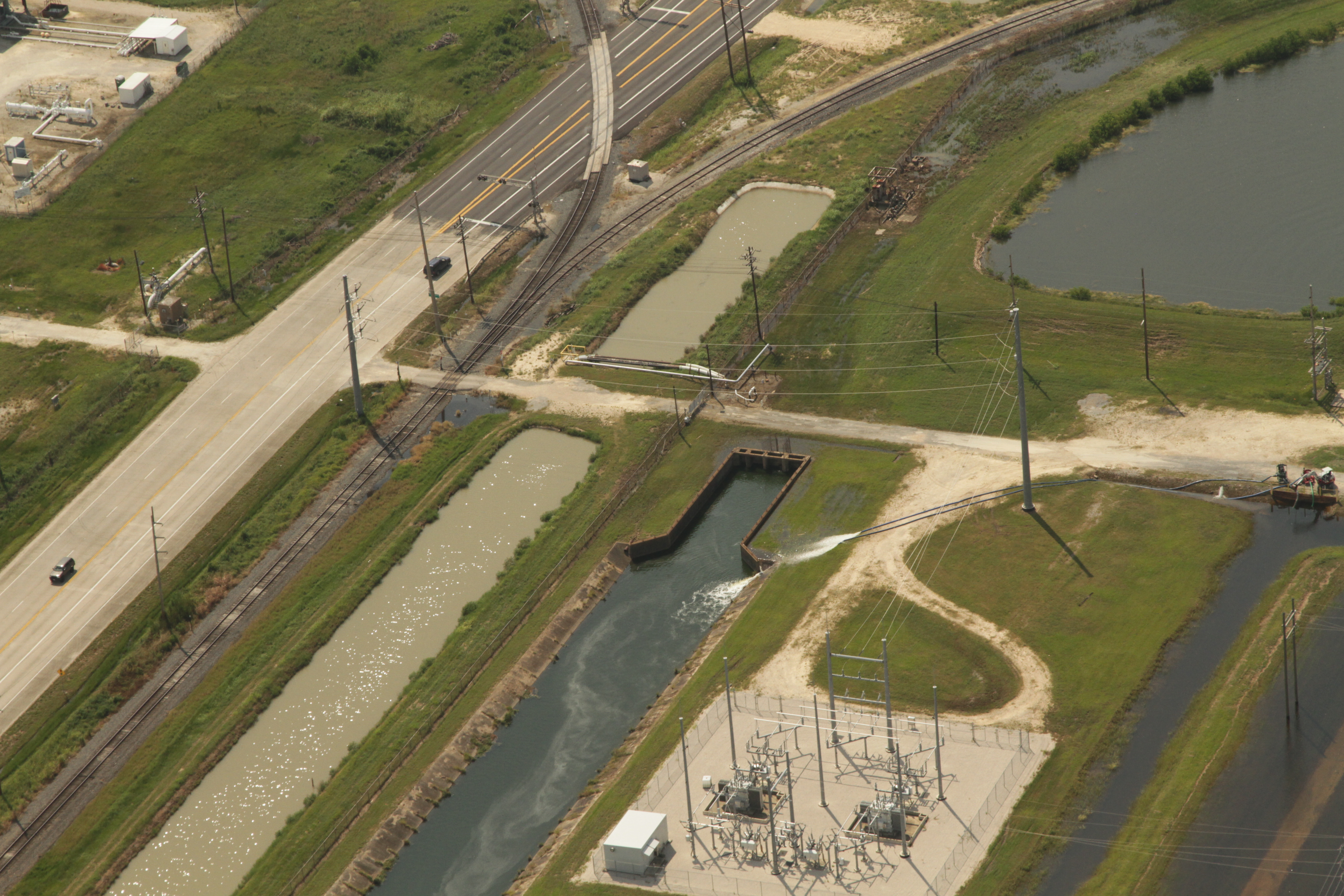
a tcp IMG_5884 stormwater pumping
2014-08-03_12-28-27
run uploaded:by=flickrmobile flickriosapp:filter=nofilter
#run
run uploaded:by=flickrmobile flickriosapp:filter=nofilter
#run