Elevation of Grojean Dr, Fort Garland, CO, USA
Location: United States > Colorado > Fort Garland >
Longitude: -105.15034
Latitude: 37.4340678
Elevation: 3078m / 10098feet
Barometric Pressure: 69KPa
Elevation Map:
Satellite Map:
Related Photos:

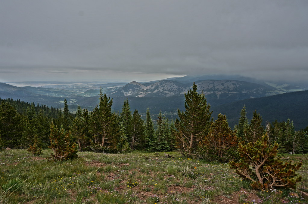
Portrait of a Hogback
low ceiling
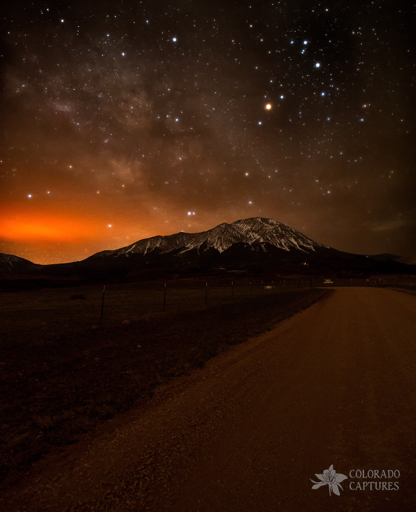
Spanish Peaks Road To A Cloud Veiled Milky Way
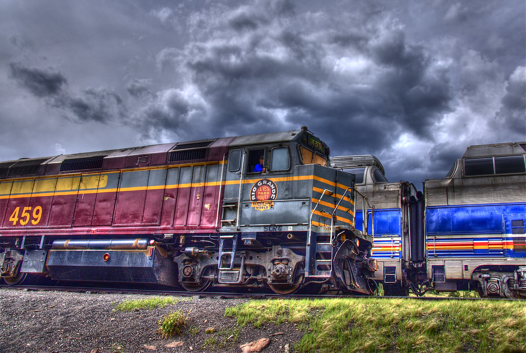
Rio Grande Scenic Railroad

Deer in the backyard

Cliff Sunrise

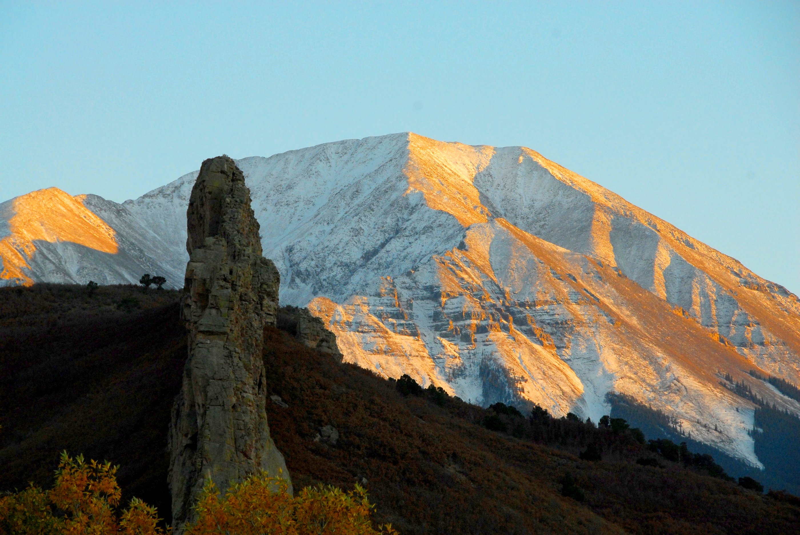
Main Cliff View

Western view at sunrise

Colorado Gold_02
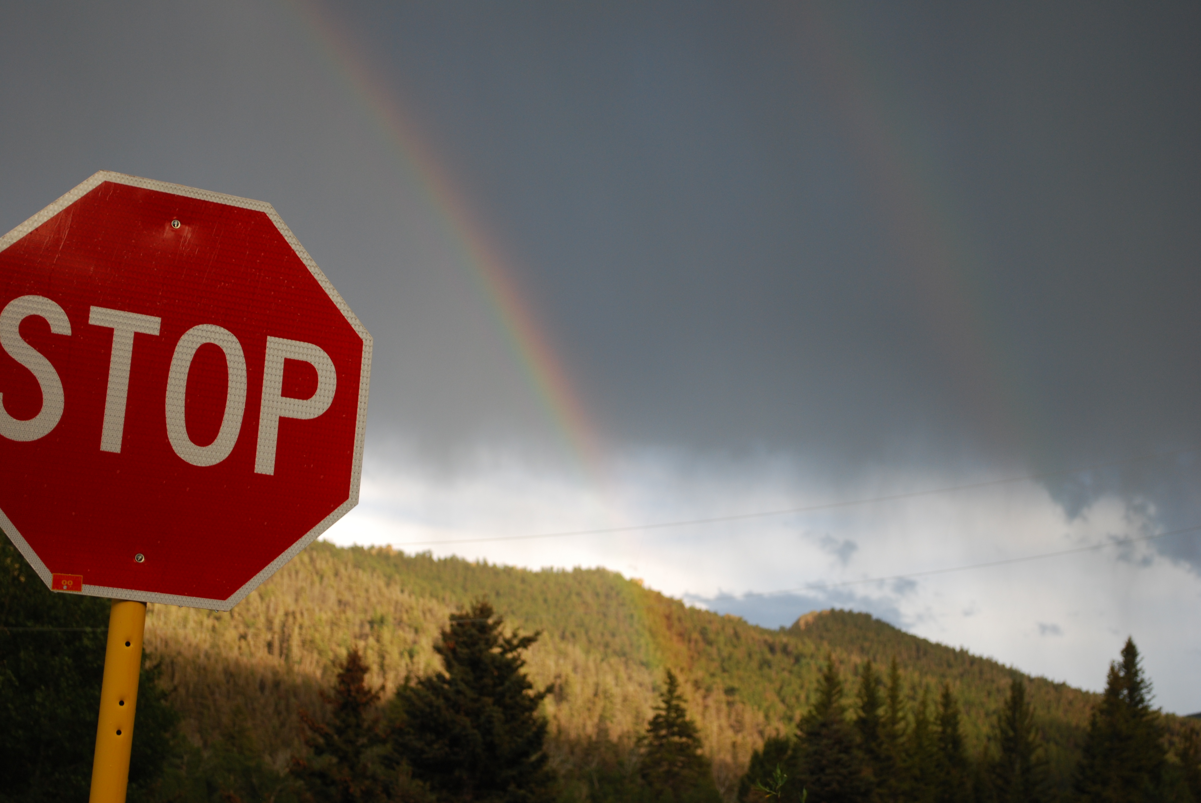
Double Rainbow
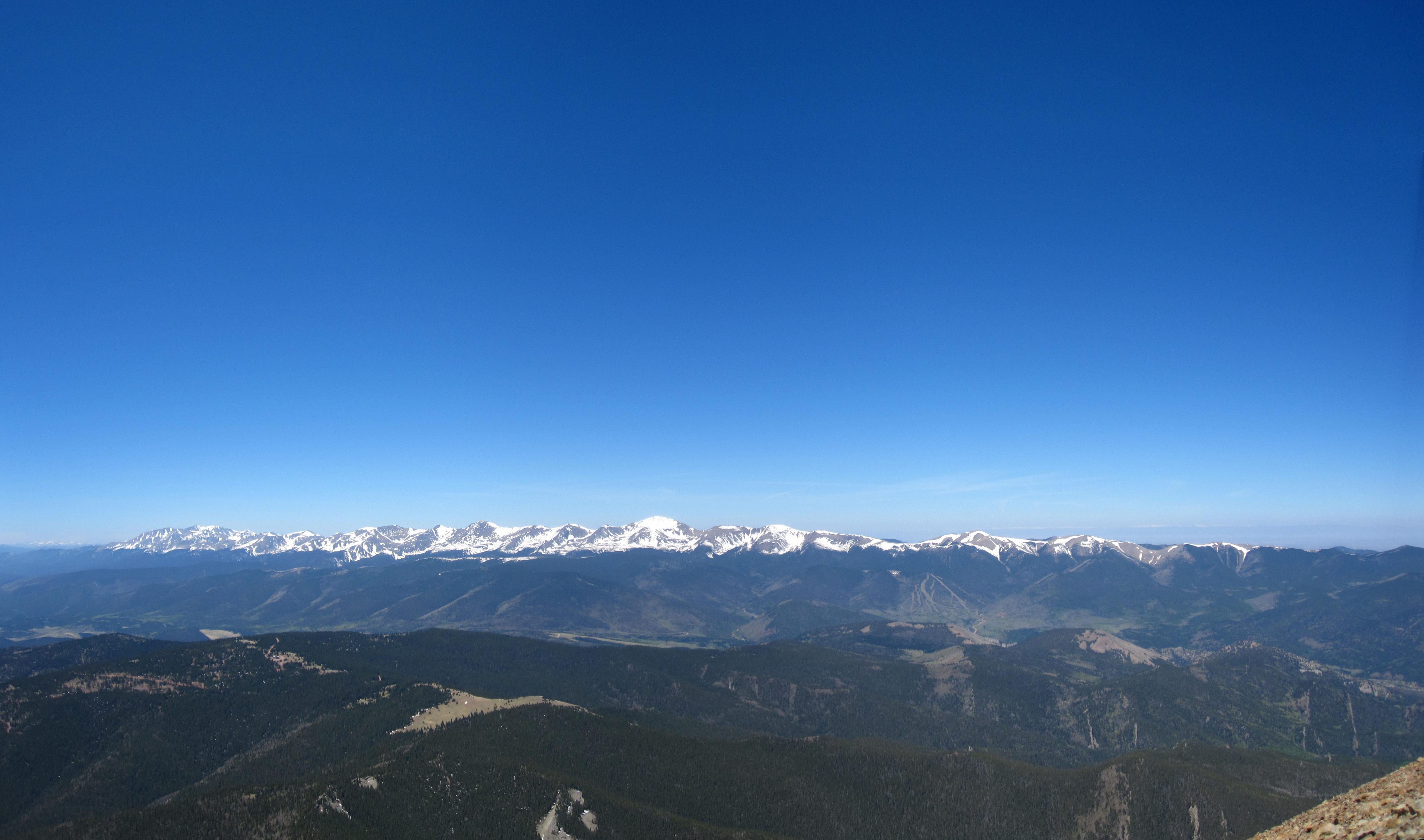
Sangre de Cristo Mountains
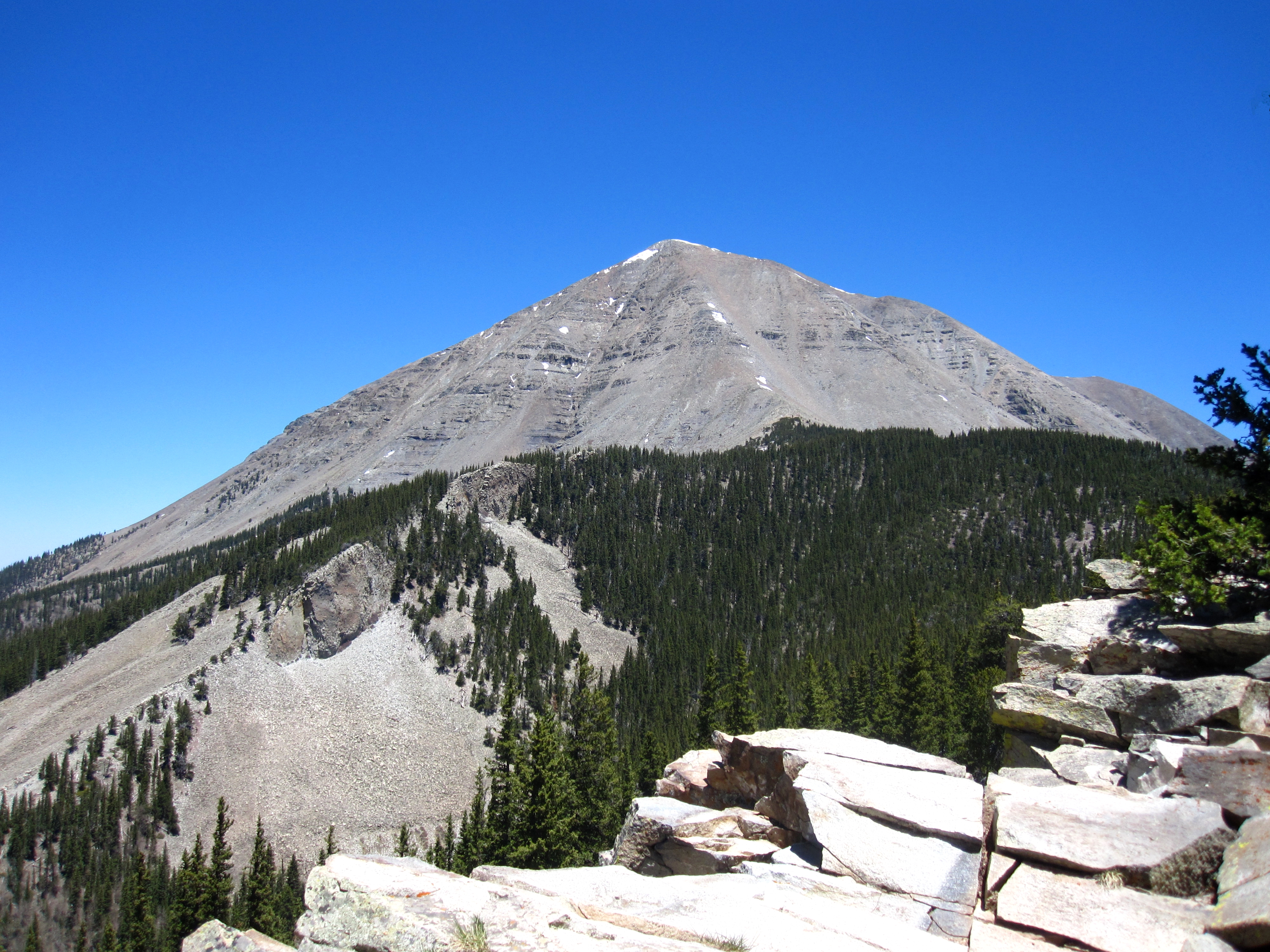
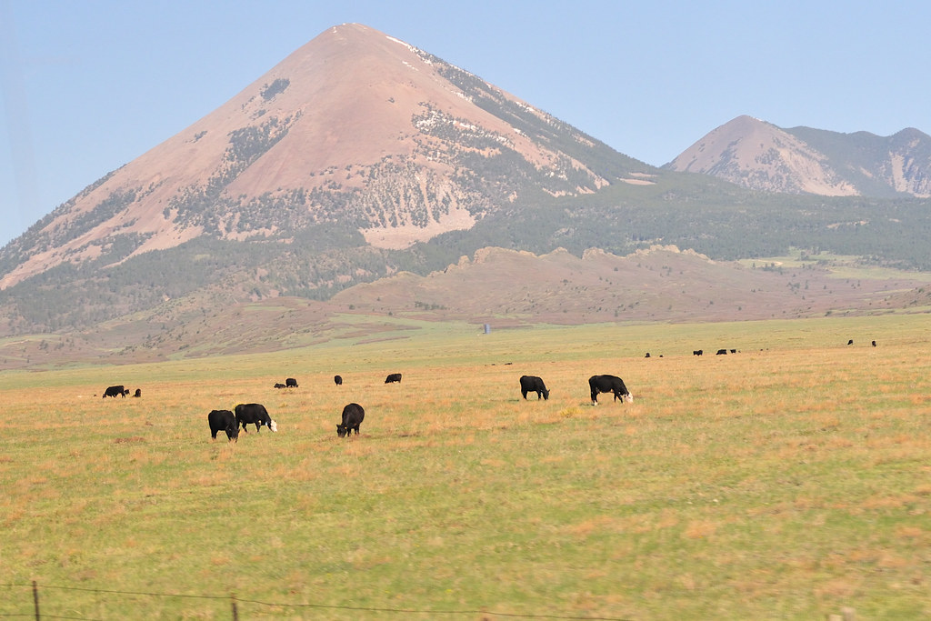
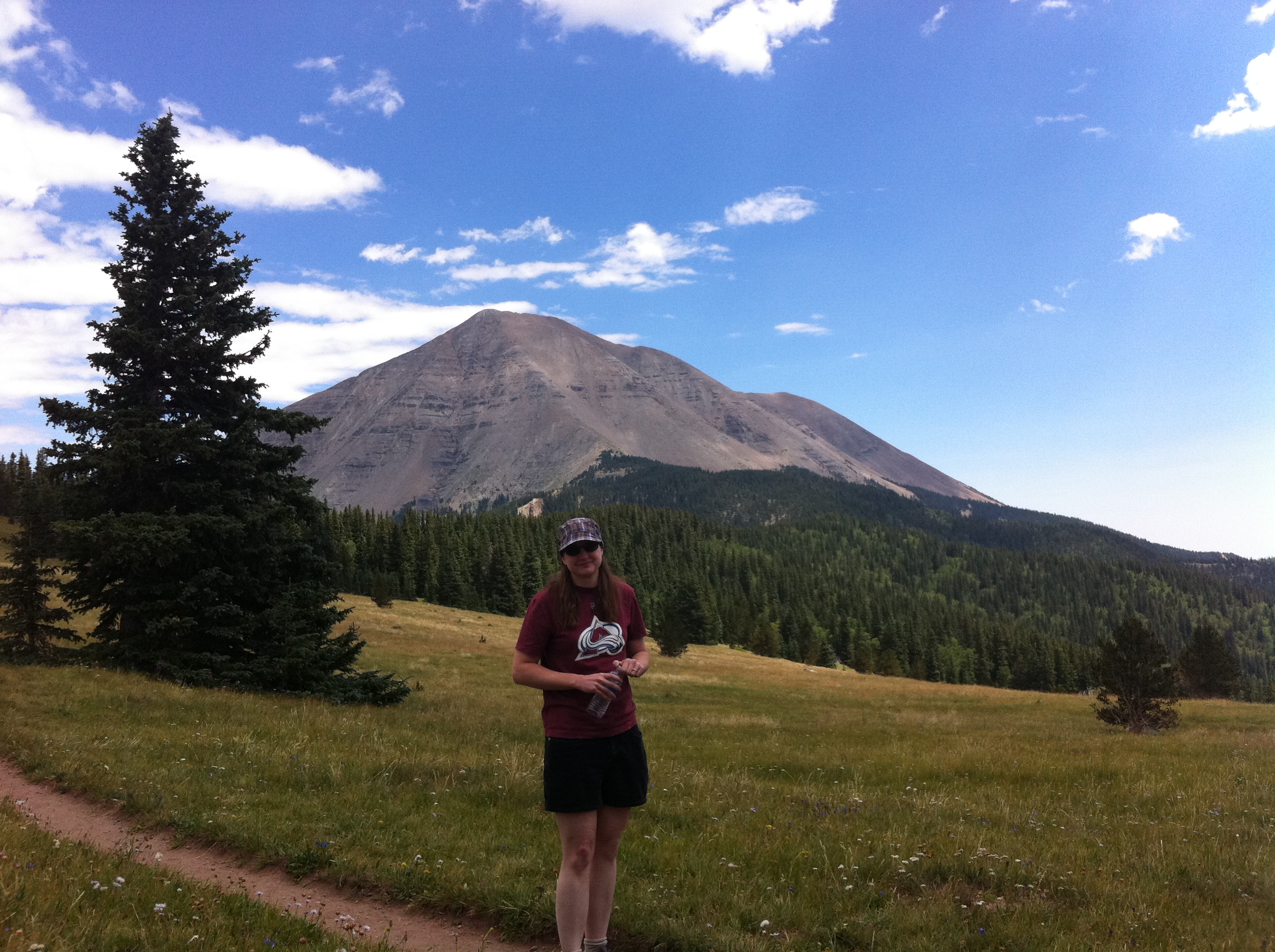
West Spanish Peak

Mostly Cloudy
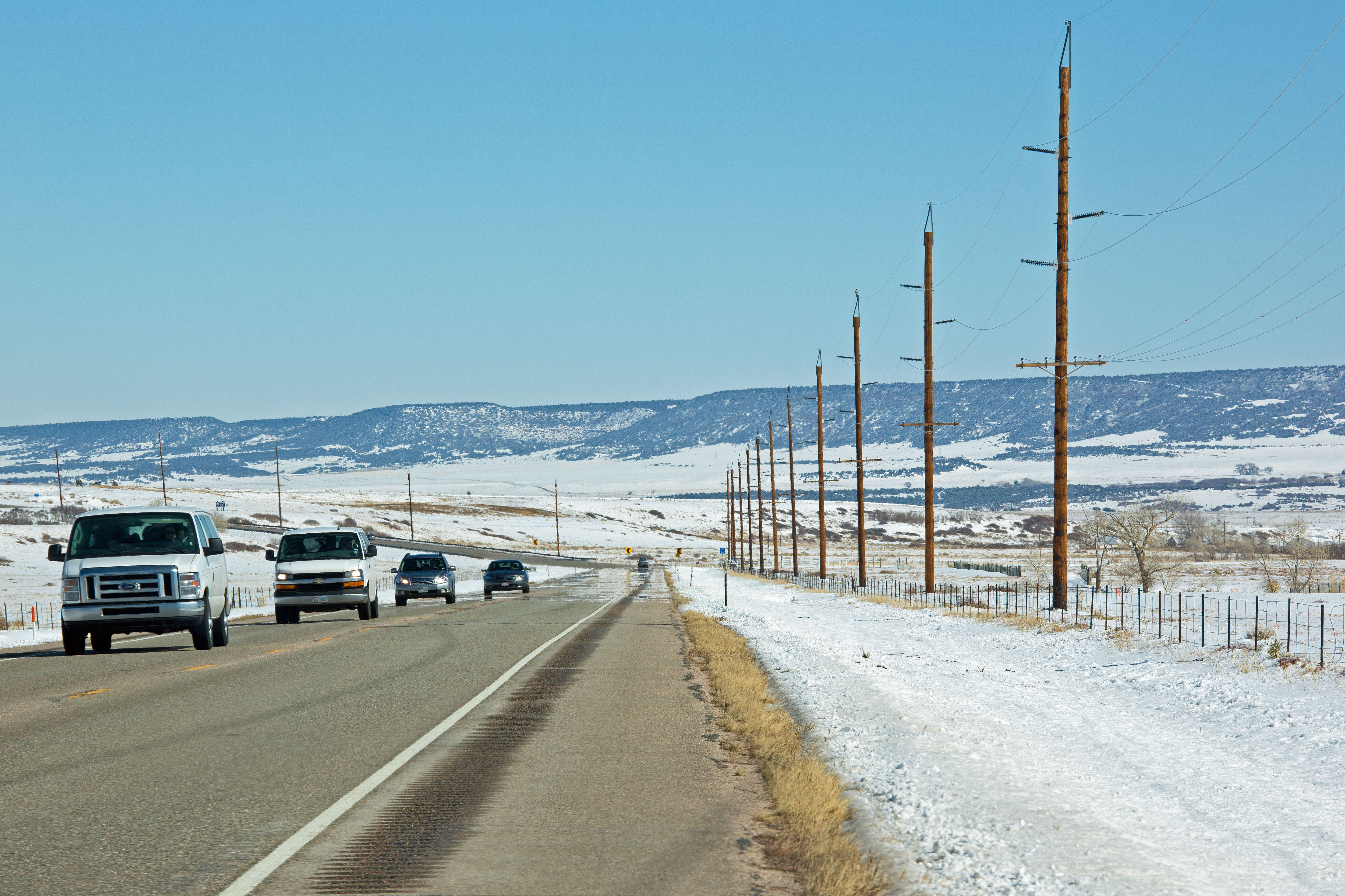
Route 160, Colorado
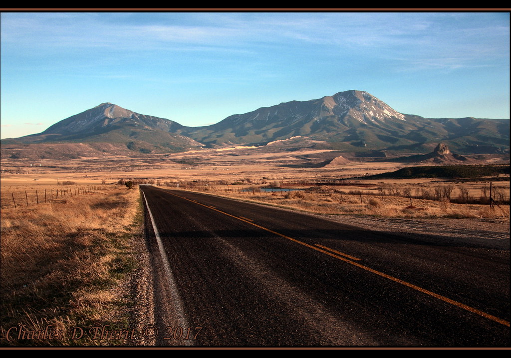
Mt Mestas, 11200 ft

Cliff Mist

View to South

next day, same view
Nice View
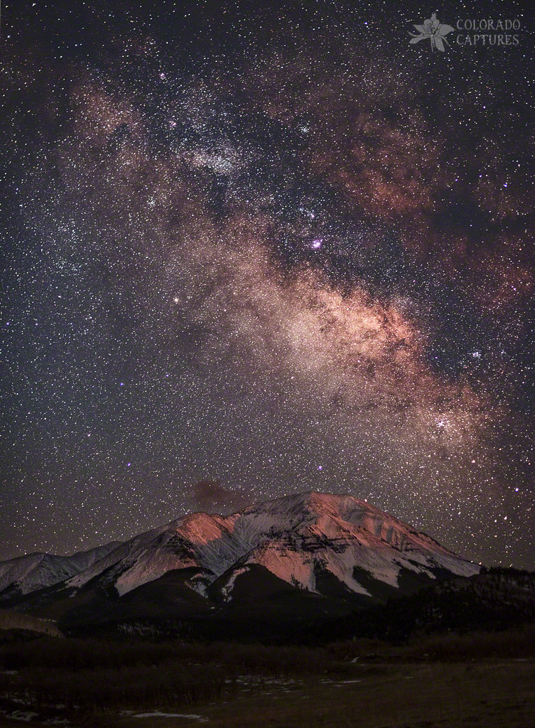
Tracking Milk Over West Spanish Peak
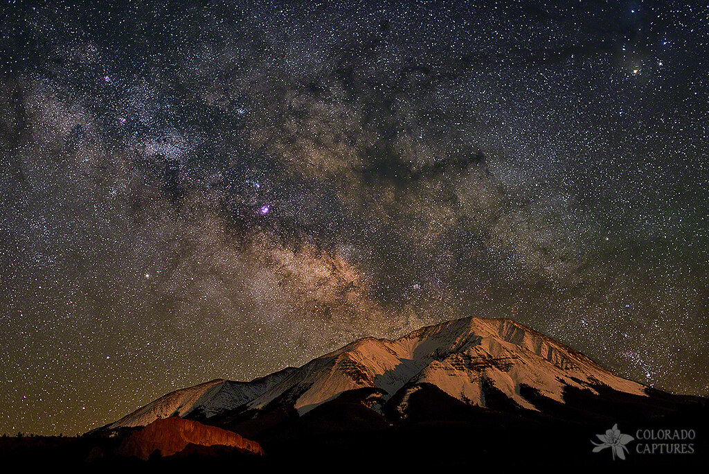
Lunar Alpenglow And Milky Way Skies At West Spanish Peak

West Spanish Peak
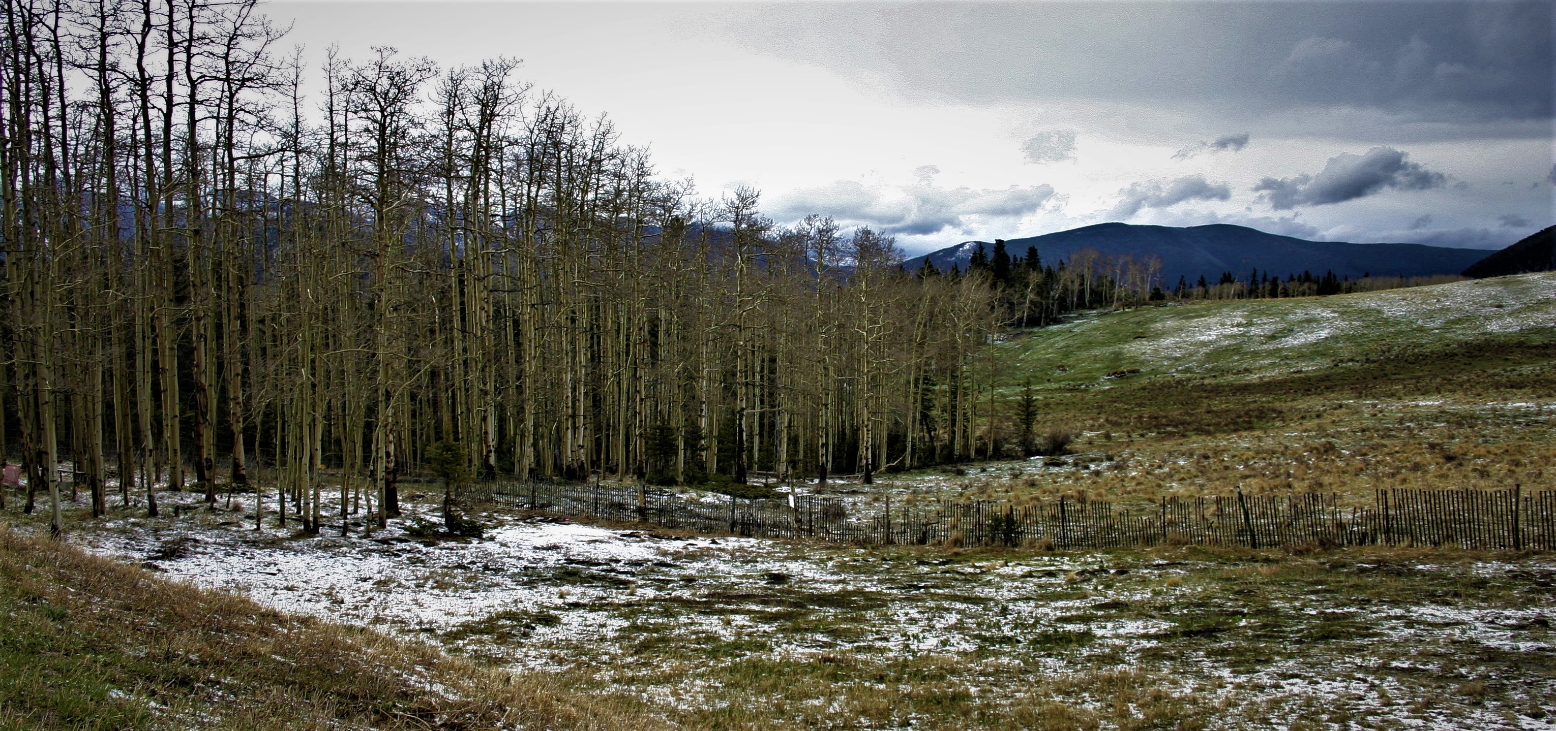
Winter without Winter
Cuchara Pass
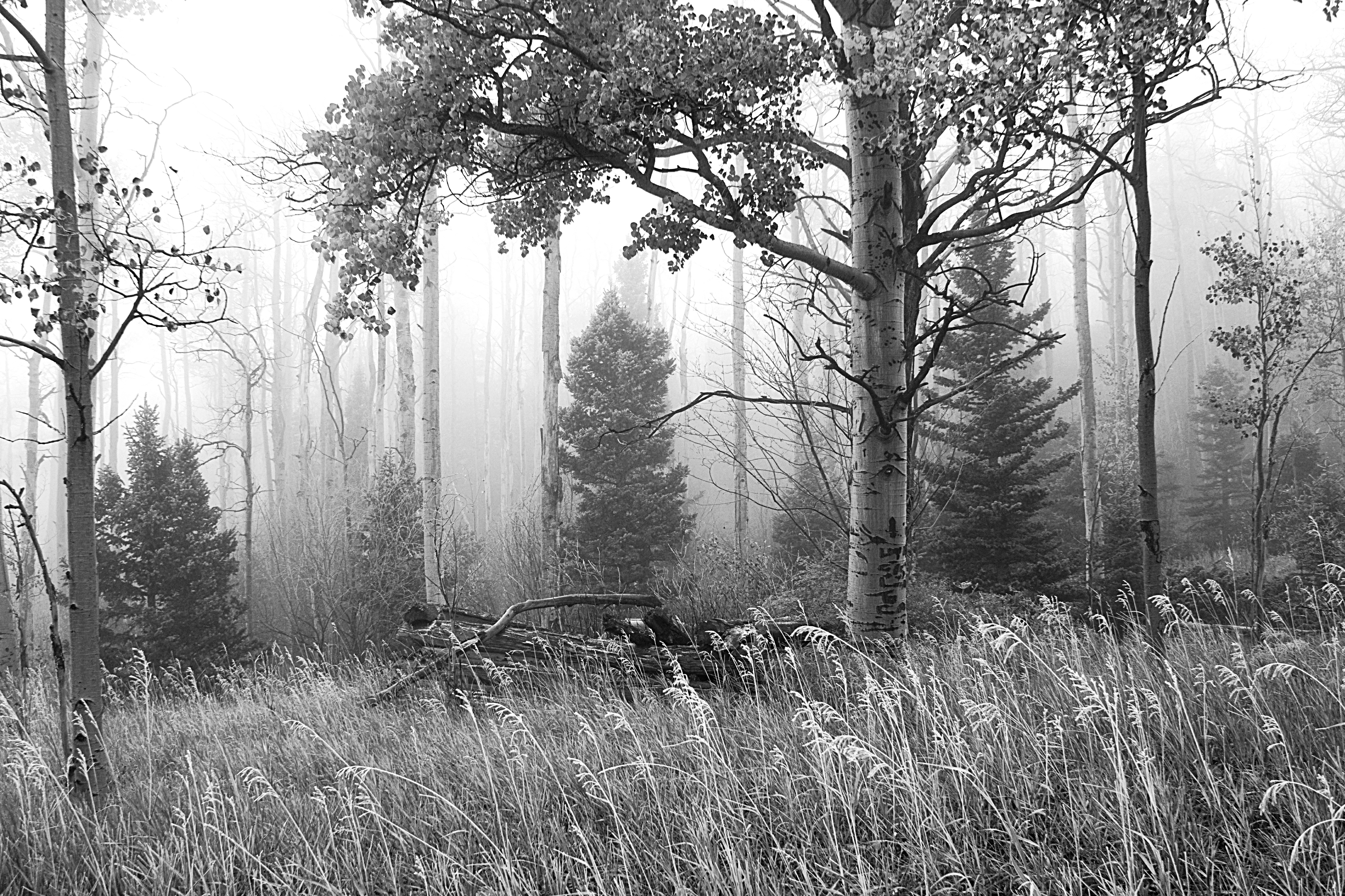
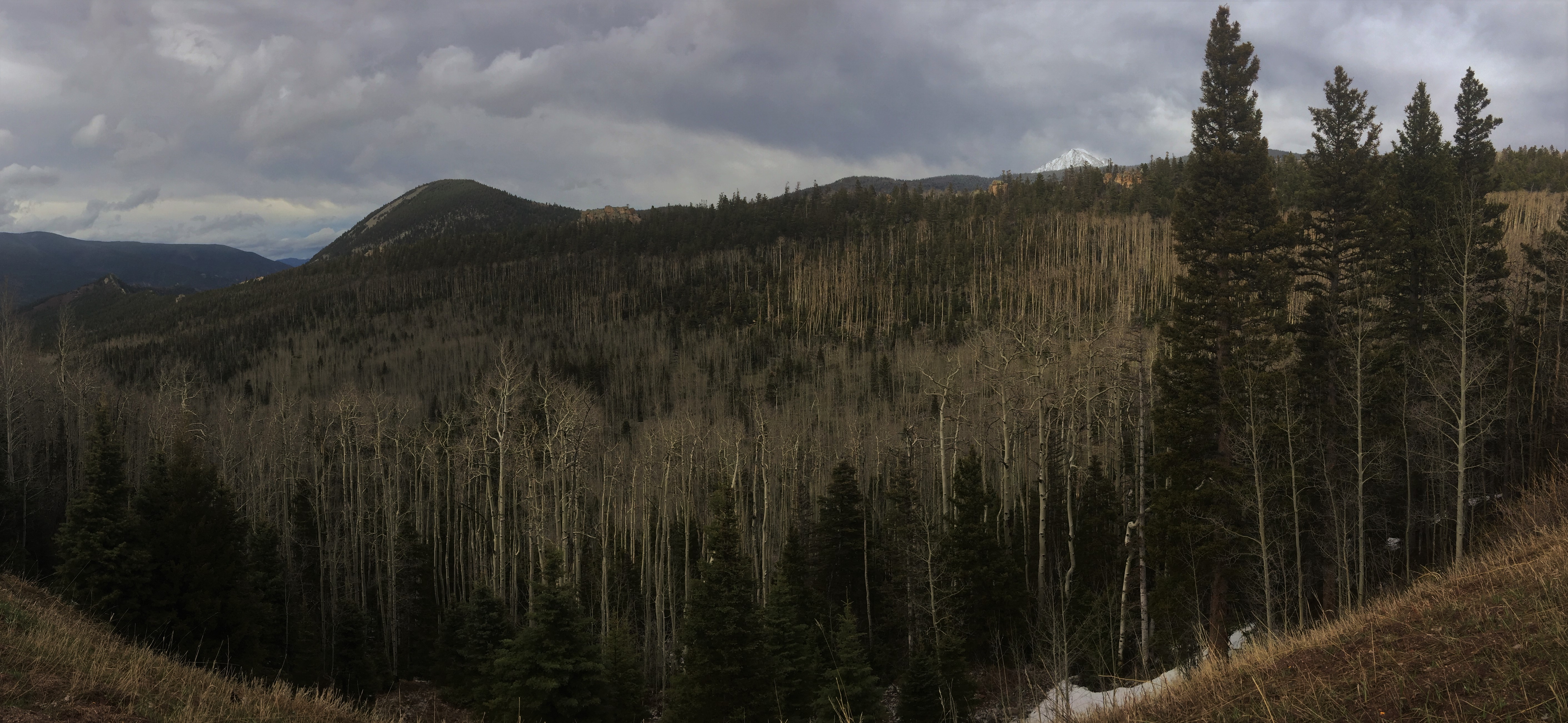
Ghost Forest
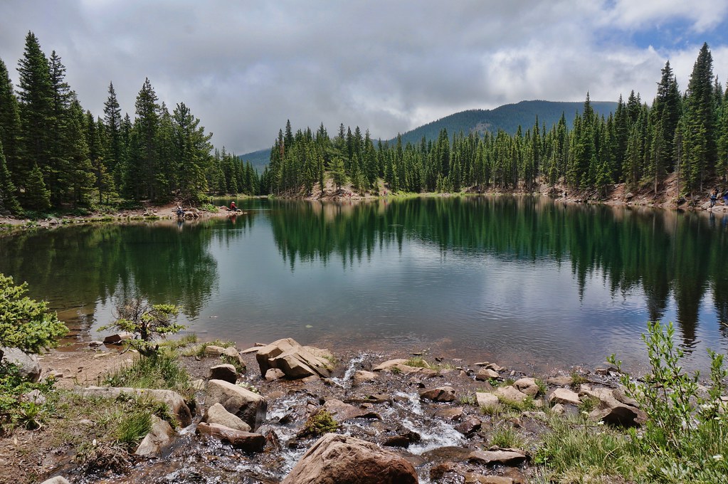
Bear Lake

Goemmer Butte
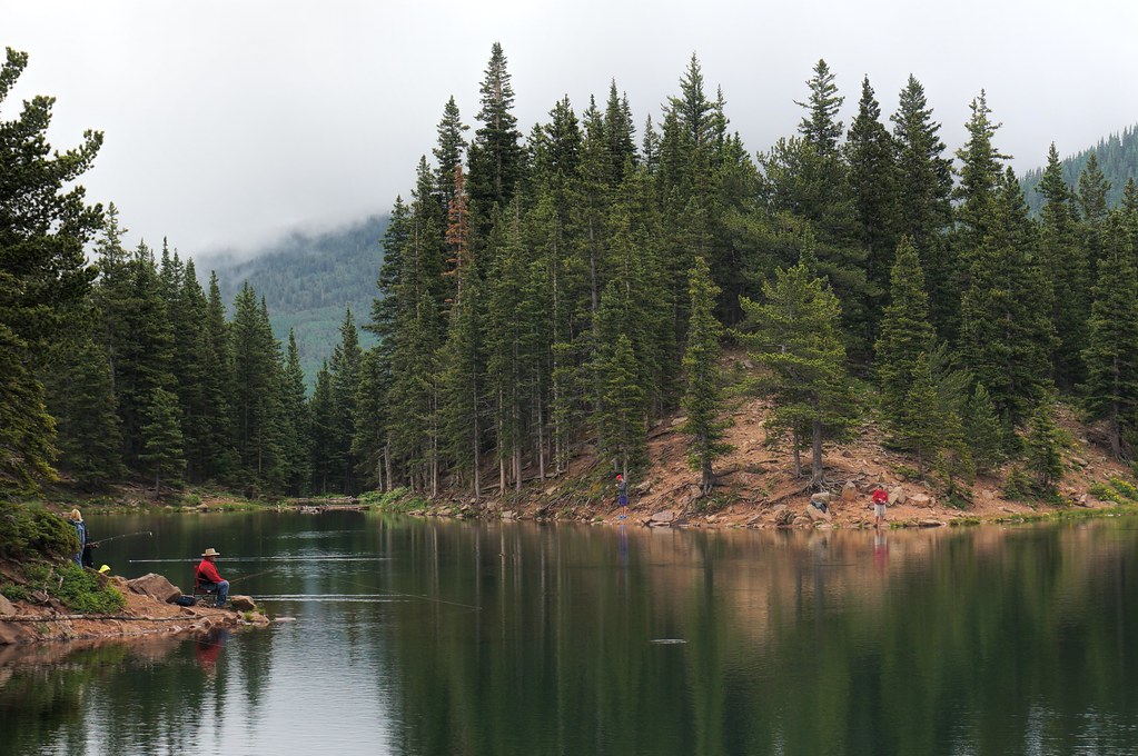
one fish, two fish,
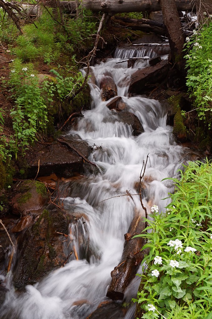
little waterfall
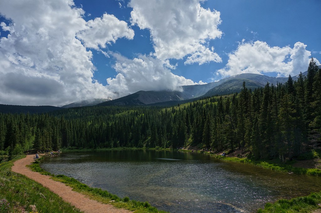
Blue Lake
West Peak Radiance
LaVeta, CO
The CUCHARAS
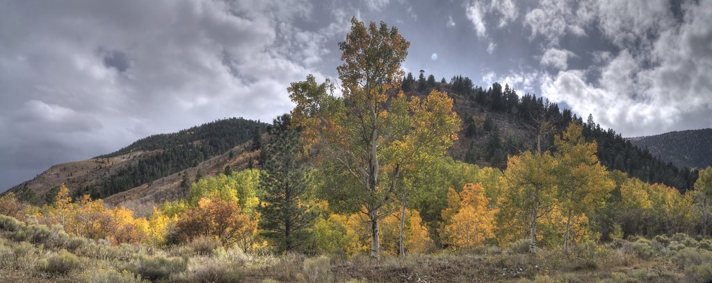
Mountains and Aspens
Devils Stairsteps
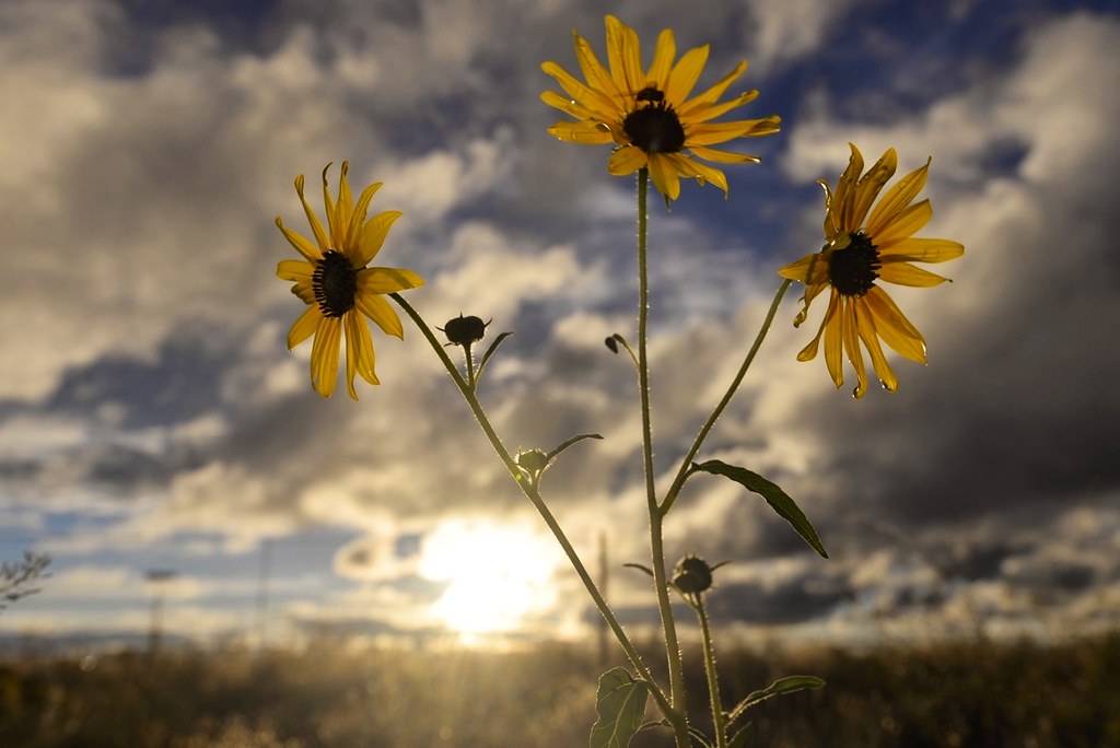
Sunflower sunset

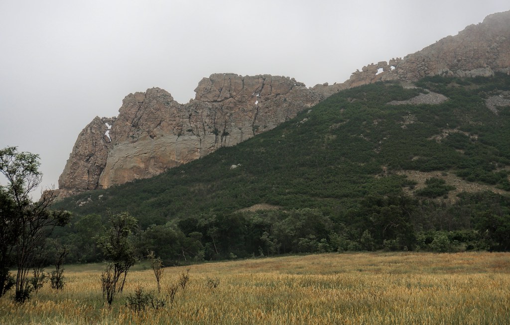
Profile Rock

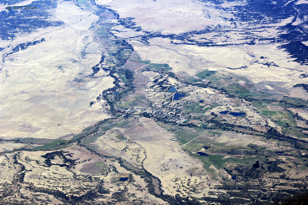
Centennial State
Topographic Map of Grojean Dr, Fort Garland, CO, USA
Find elevation by address:

Places near Grojean Dr, Fort Garland, CO, USA:
Indian Creek Trail
Harrison Peak
Teddys Peak
Trinchera Peak
7436 Waligunda Rd
Ojito Peak
Red Jones Road
71685 Fernow
7191 Burnham Rd
Reg Jones Rd
7002 Valerie Rd N
7002 Valerie Rd N
Valerie Road North
7001 Valerie Rd
Sangre De Cristo Ranches
5164 Slegers Rd
Evans Road
3704 Hartgrave Rd
18591 Wilking Rd
Beekman Road
Recent Searches:
- Elevation of Groblershoop, South Africa
- Elevation of Power Generation Enterprises | Industrial Diesel Generators, Oak Ave, Canyon Country, CA, USA
- Elevation of Chesaw Rd, Oroville, WA, USA
- Elevation of N, Mt Pleasant, UT, USA
- Elevation of 6 Rue Jules Ferry, Beausoleil, France
- Elevation of Sattva Horizon, 4JC6+G9P, Vinayak Nagar, Kattigenahalli, Bengaluru, Karnataka, India
- Elevation of Great Brook Sports, Gold Star Hwy, Groton, CT, USA
- Elevation of 10 Mountain Laurels Dr, Nashua, NH, USA
- Elevation of 16 Gilboa Ln, Nashua, NH, USA
- Elevation of Laurel Rd, Townsend, TN, USA