Elevation of Slegers Rd, Fort Garland, CO, USA
Location: United States > Colorado > Fort Garland >
Longitude: -105.29012
Latitude: 37.3025734
Elevation: 3038m / 9967feet
Barometric Pressure: 70KPa
Elevation Map:
Satellite Map:
Related Photos:
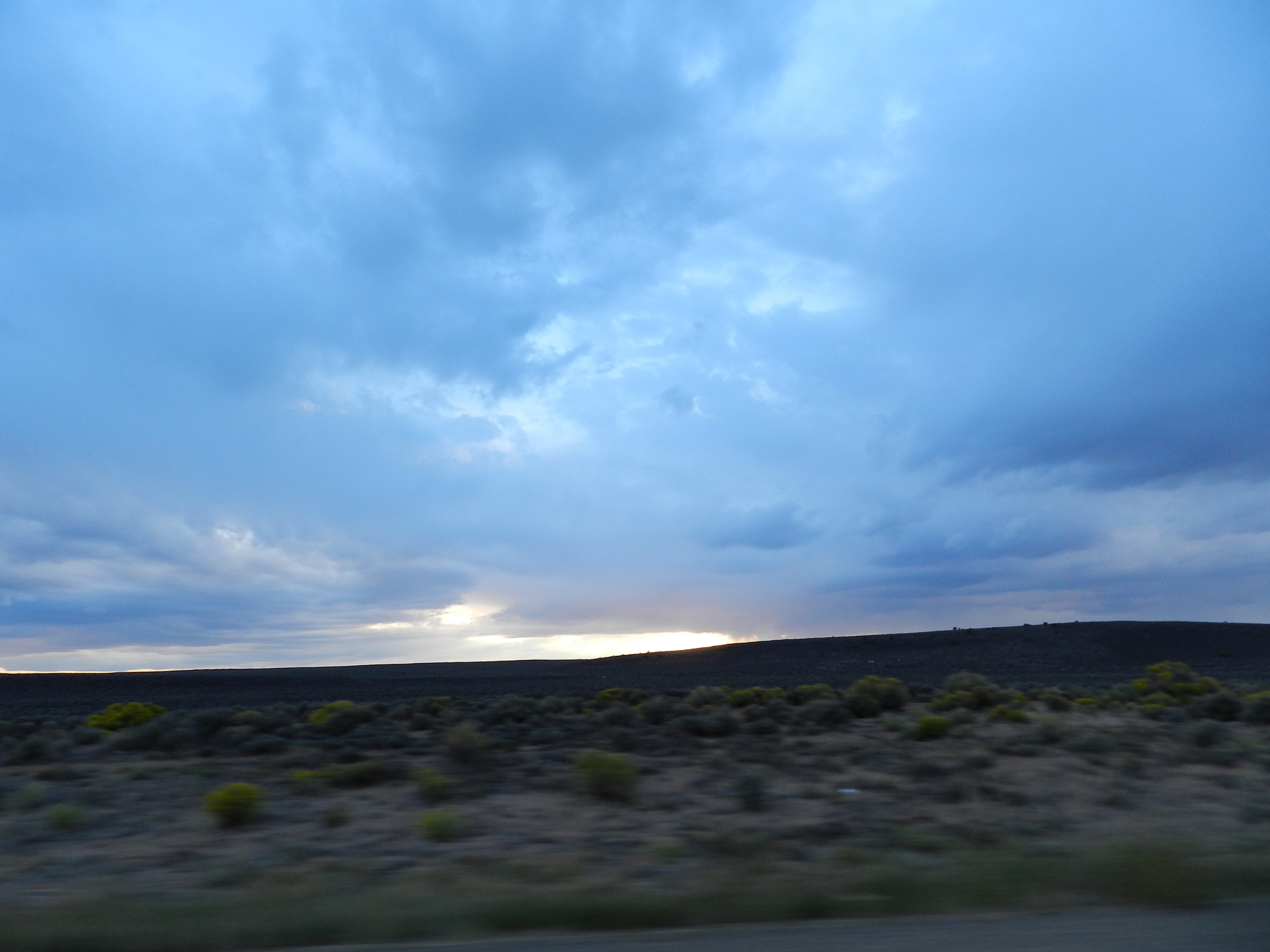
Bandhara Views 9-12-2011 : DSCN0293
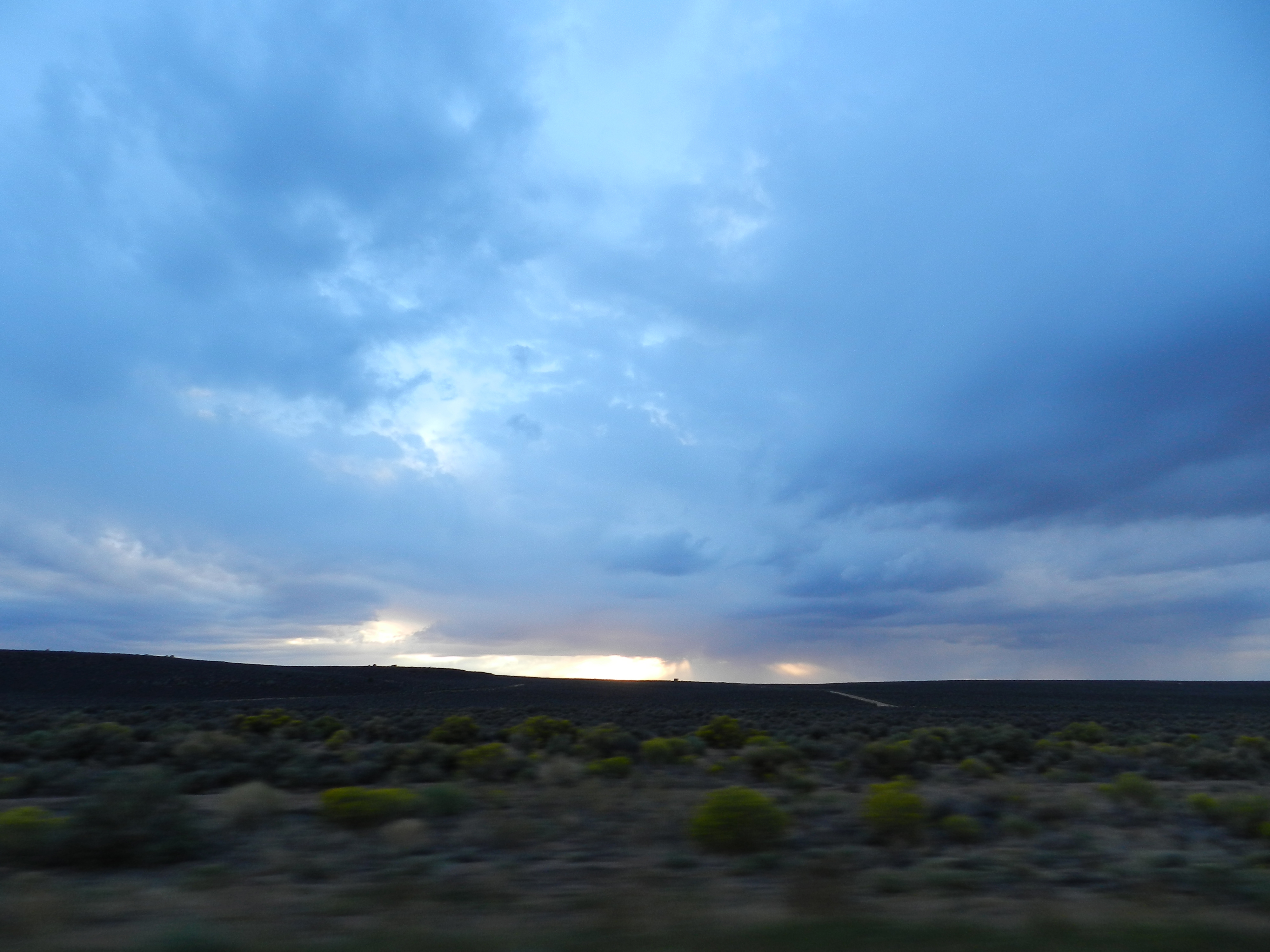
low ceiling

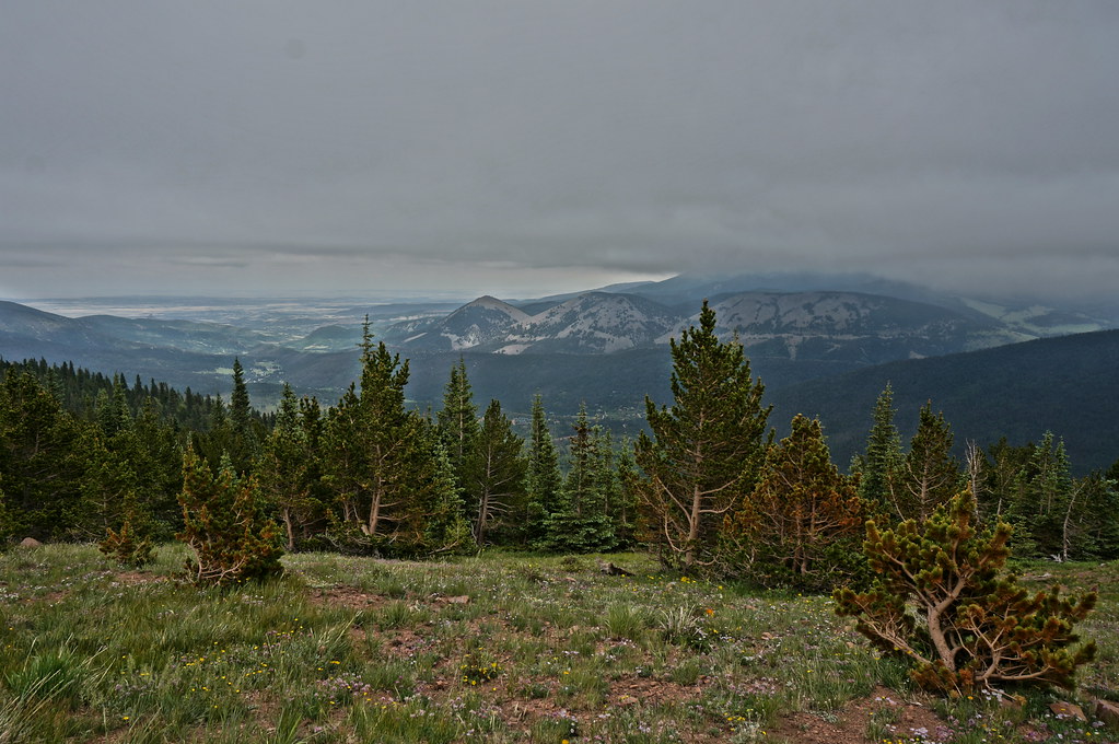
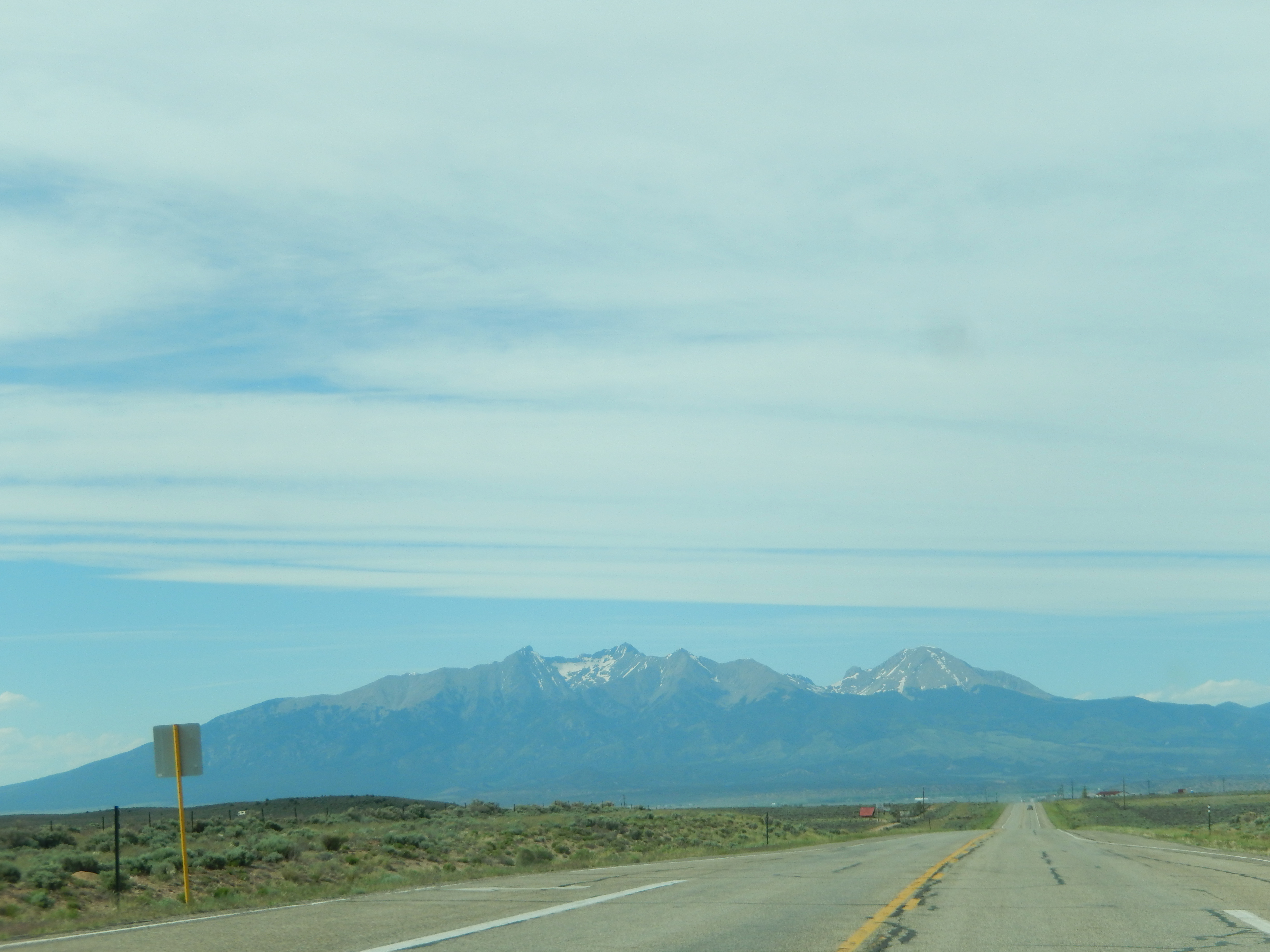
San Juan Valley

View from Cordova Pass

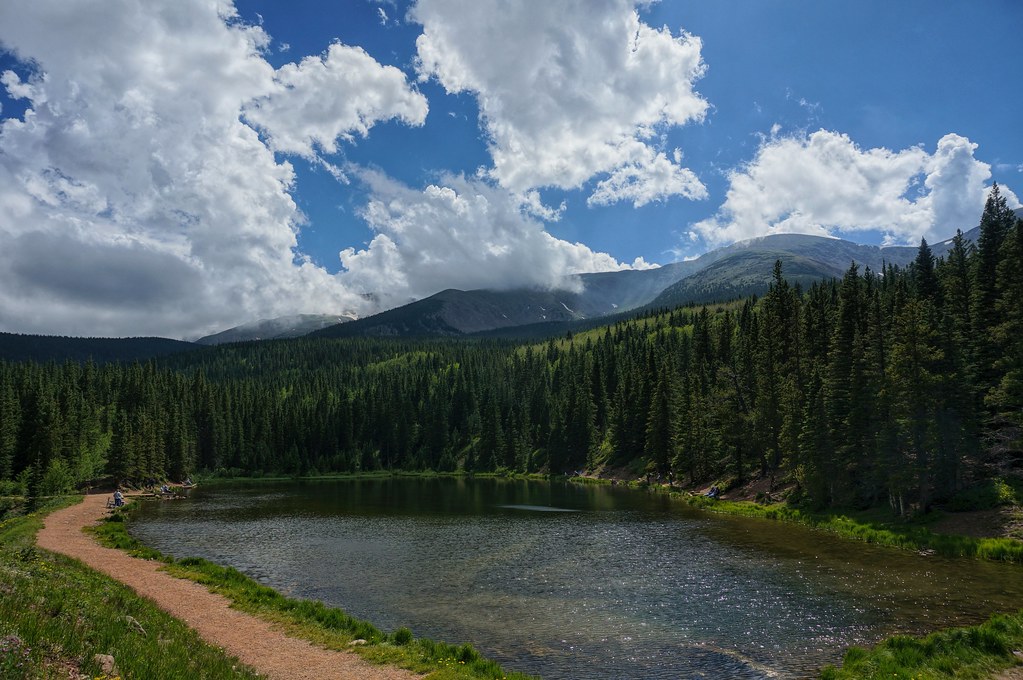
Mountain View Lake
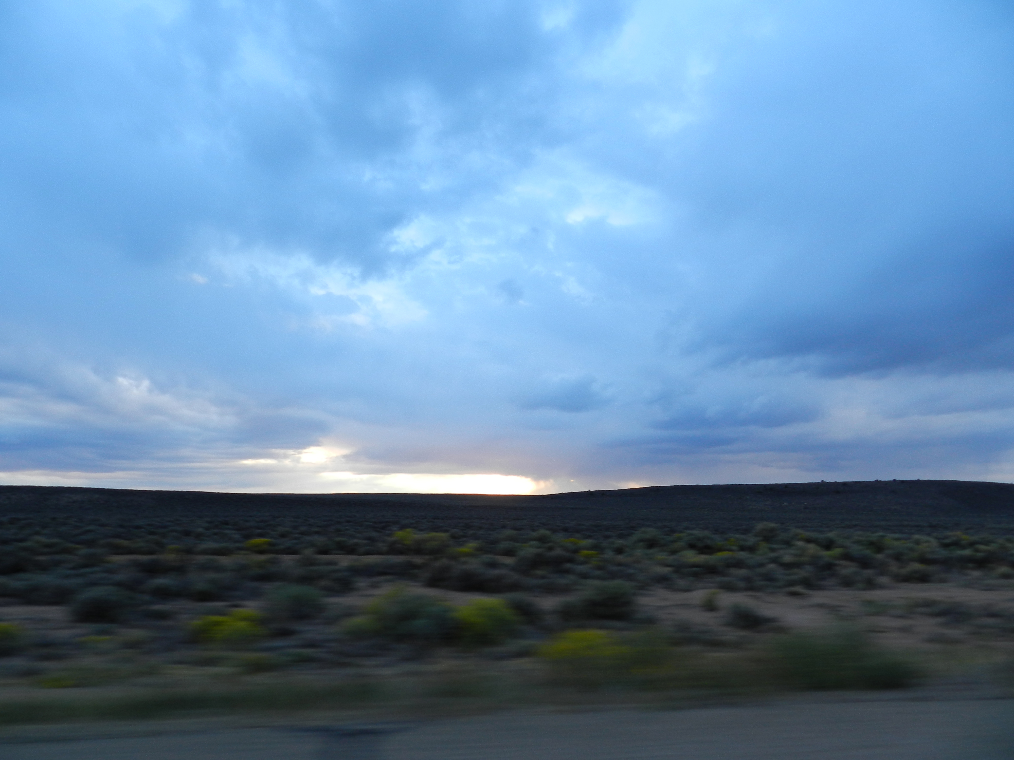
Bandhara Views 9-12-2011 : DSCN0299

San Juan Valley
Mountain View Reservoir
Bandhara Views 9-12-2011 : DSCN0297
Bandhara Views 9-12-2011 : DSCN0298

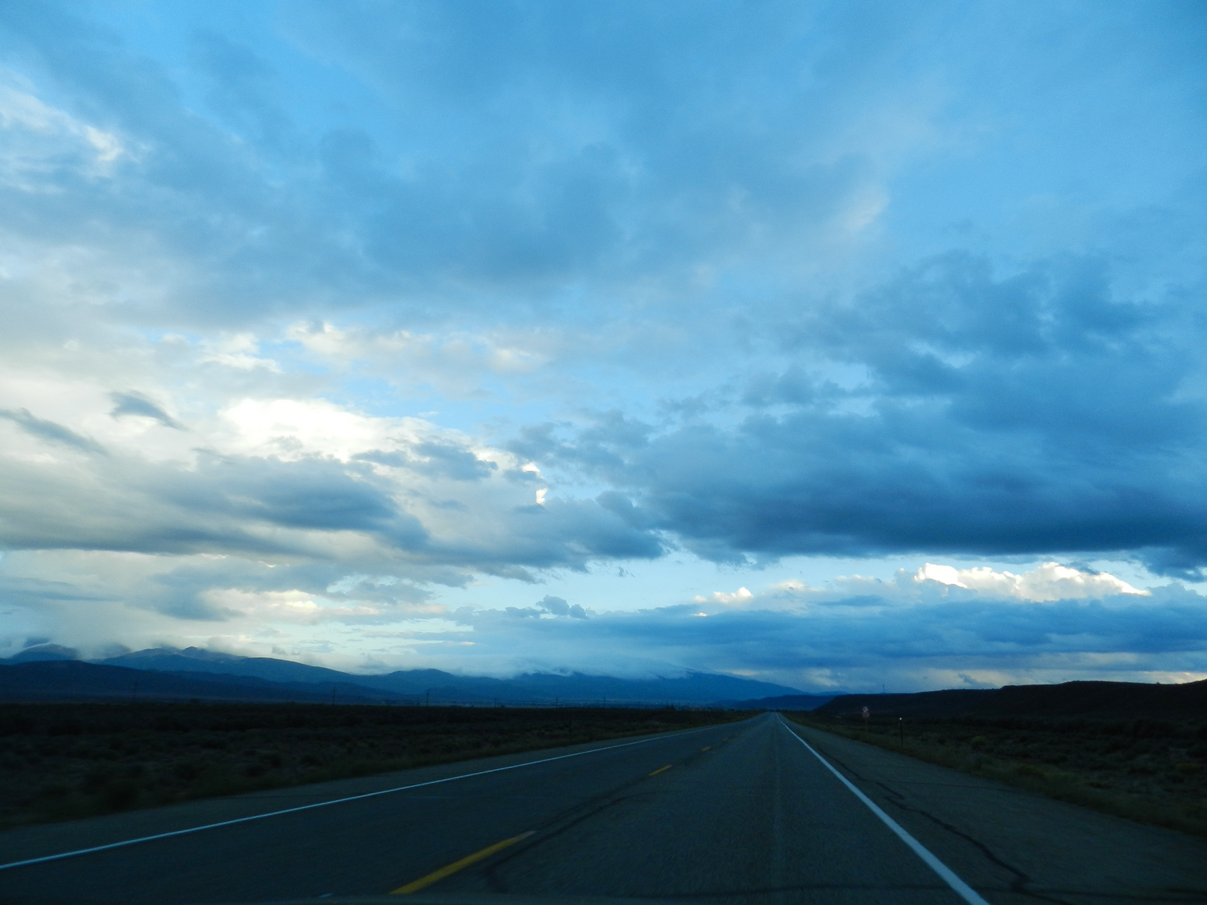
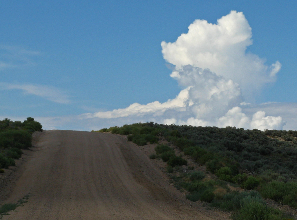
next day, same view
Bandhara Views 9-12-2011 : DSCN0302
Taos Hanuman July 25 2013 : DSCN3789
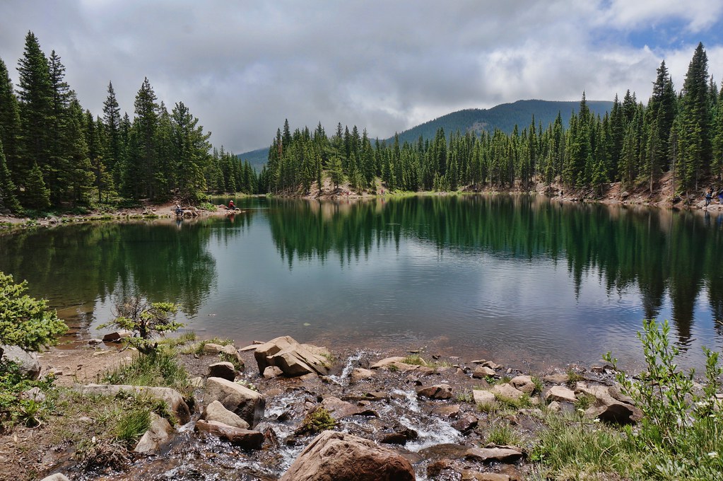
Bear Lake
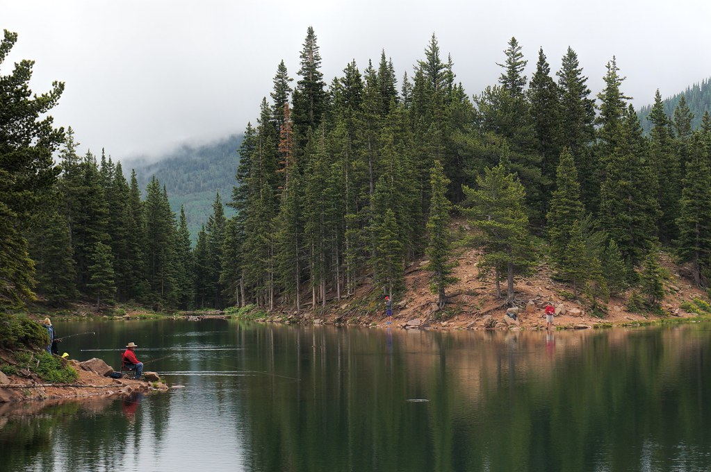
one fish, two fish,
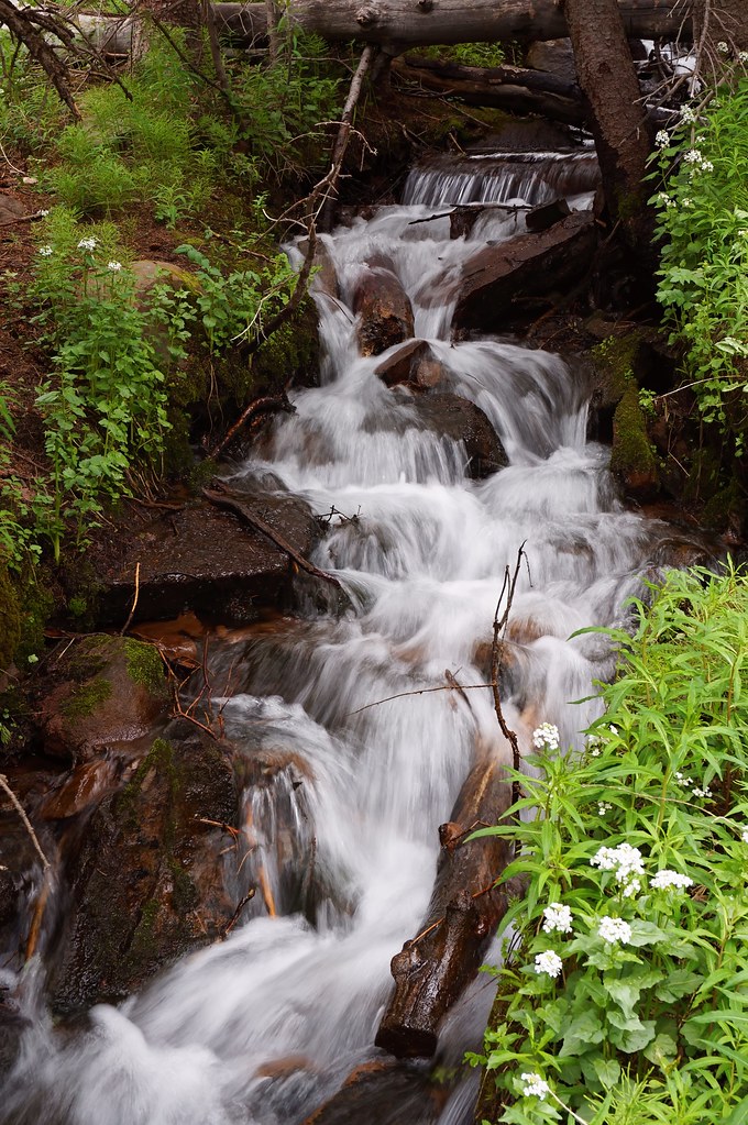
little waterfall
Blue Lake

Bear Lake campsite

TaosBoulderJune4-2014 : DSCN7810
TaosBoulderJune4-2014 : DSCN7820

TaosBoulderJune4-2014 : DSCN7812
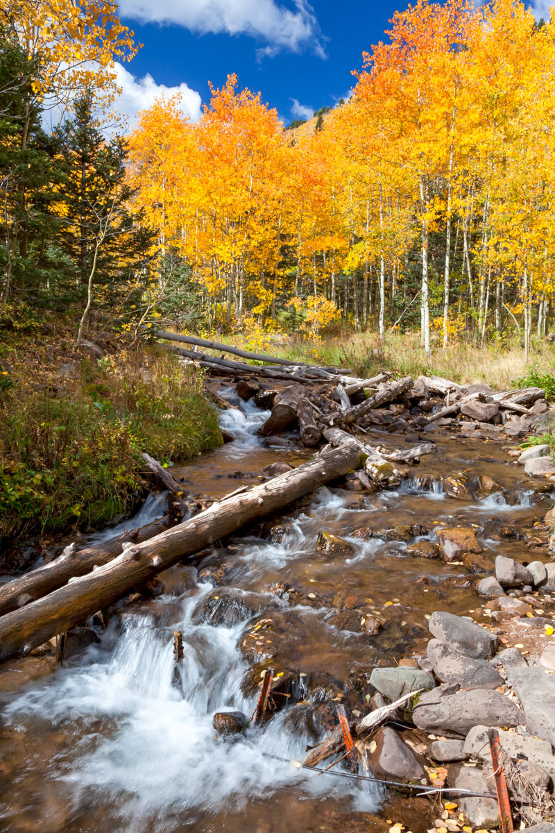
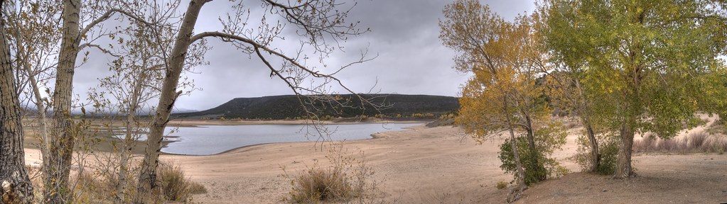
High Country Fall
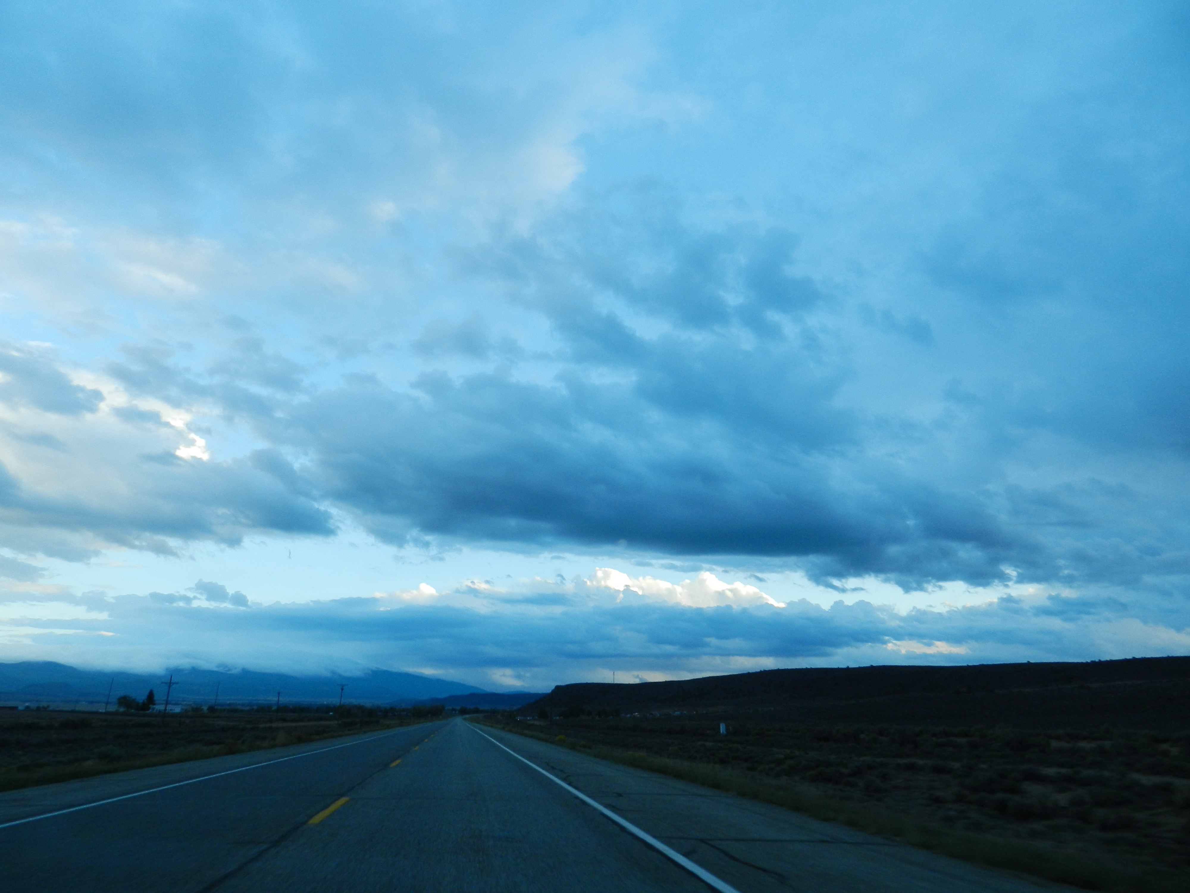
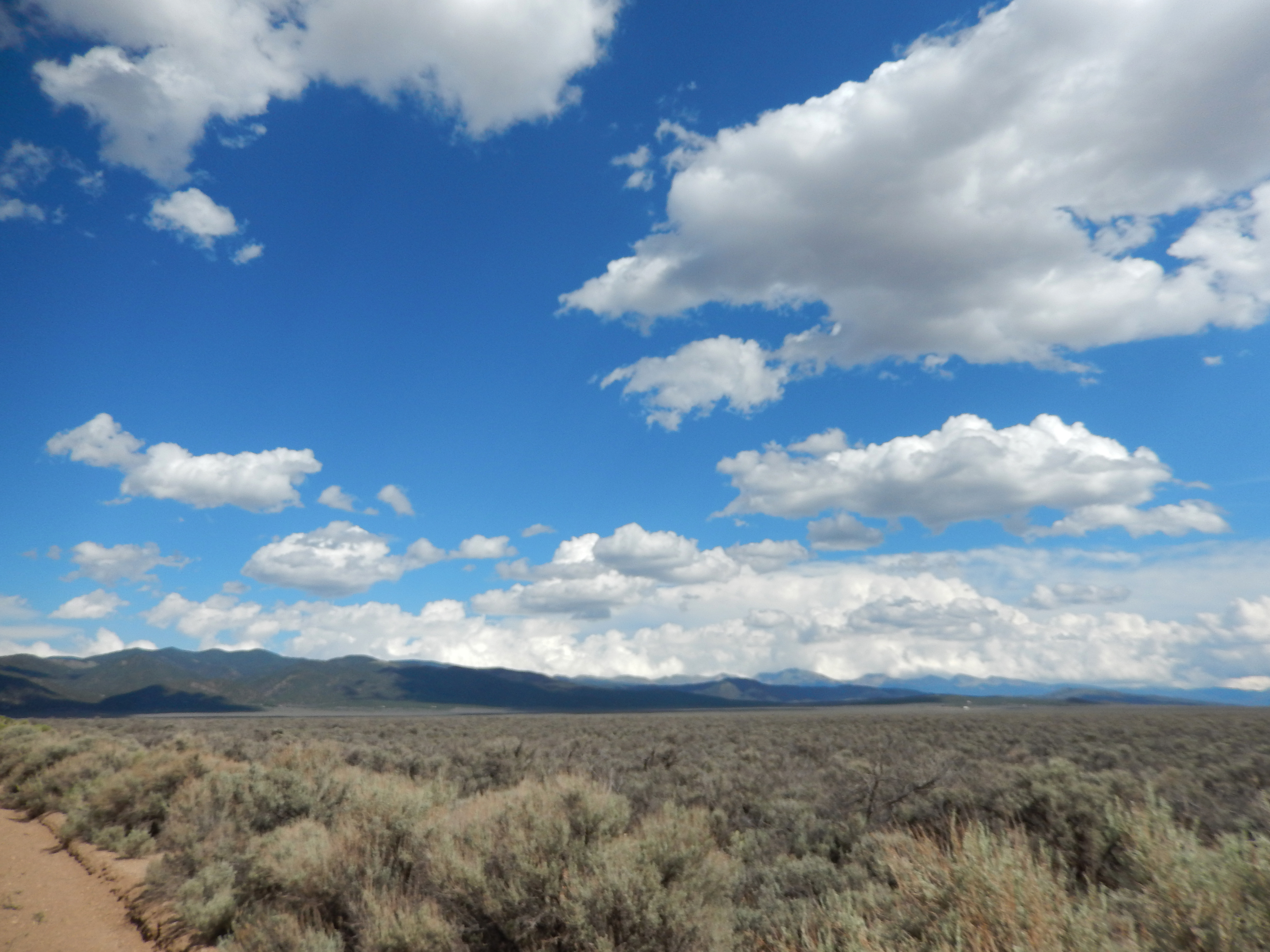
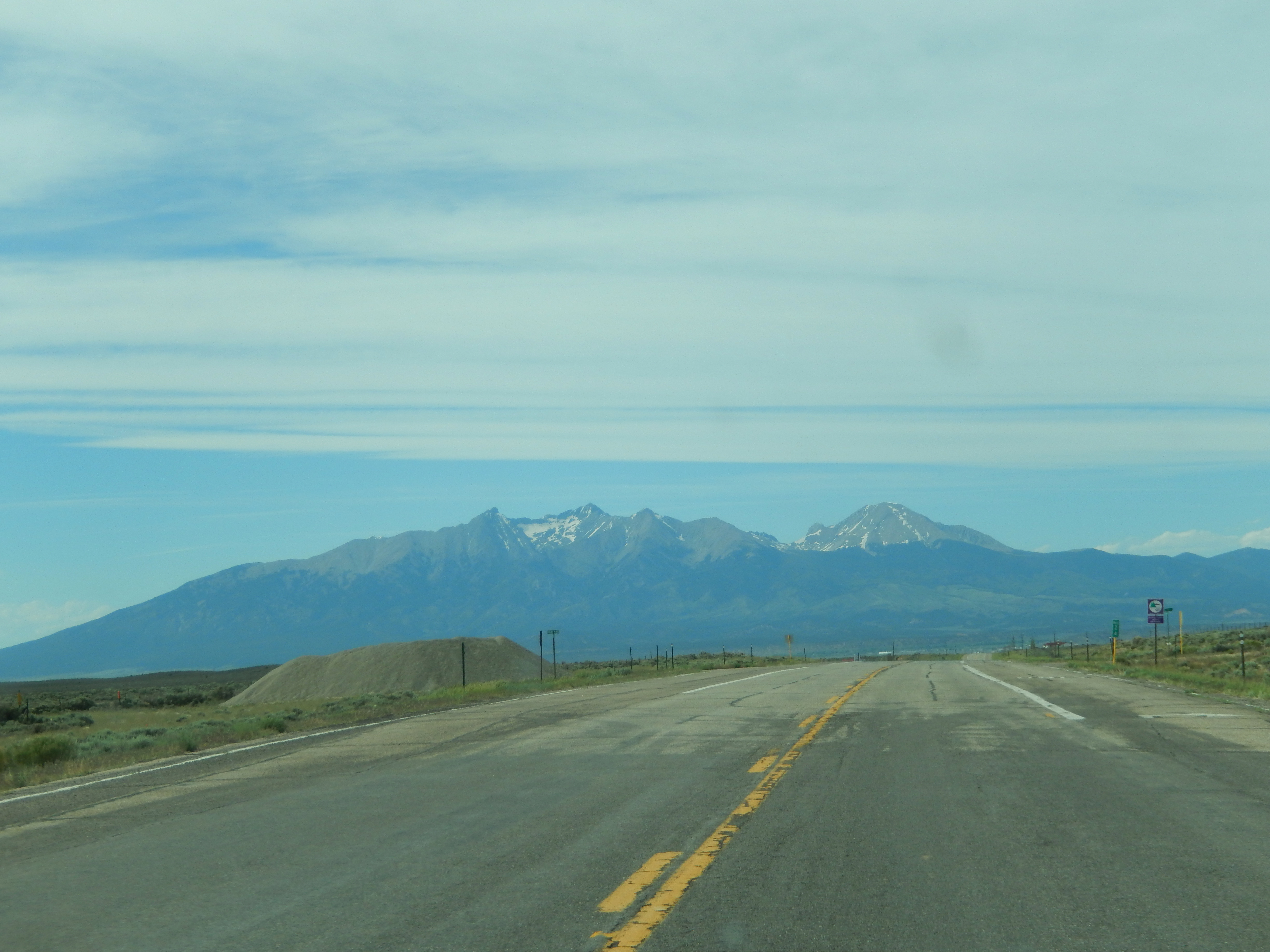
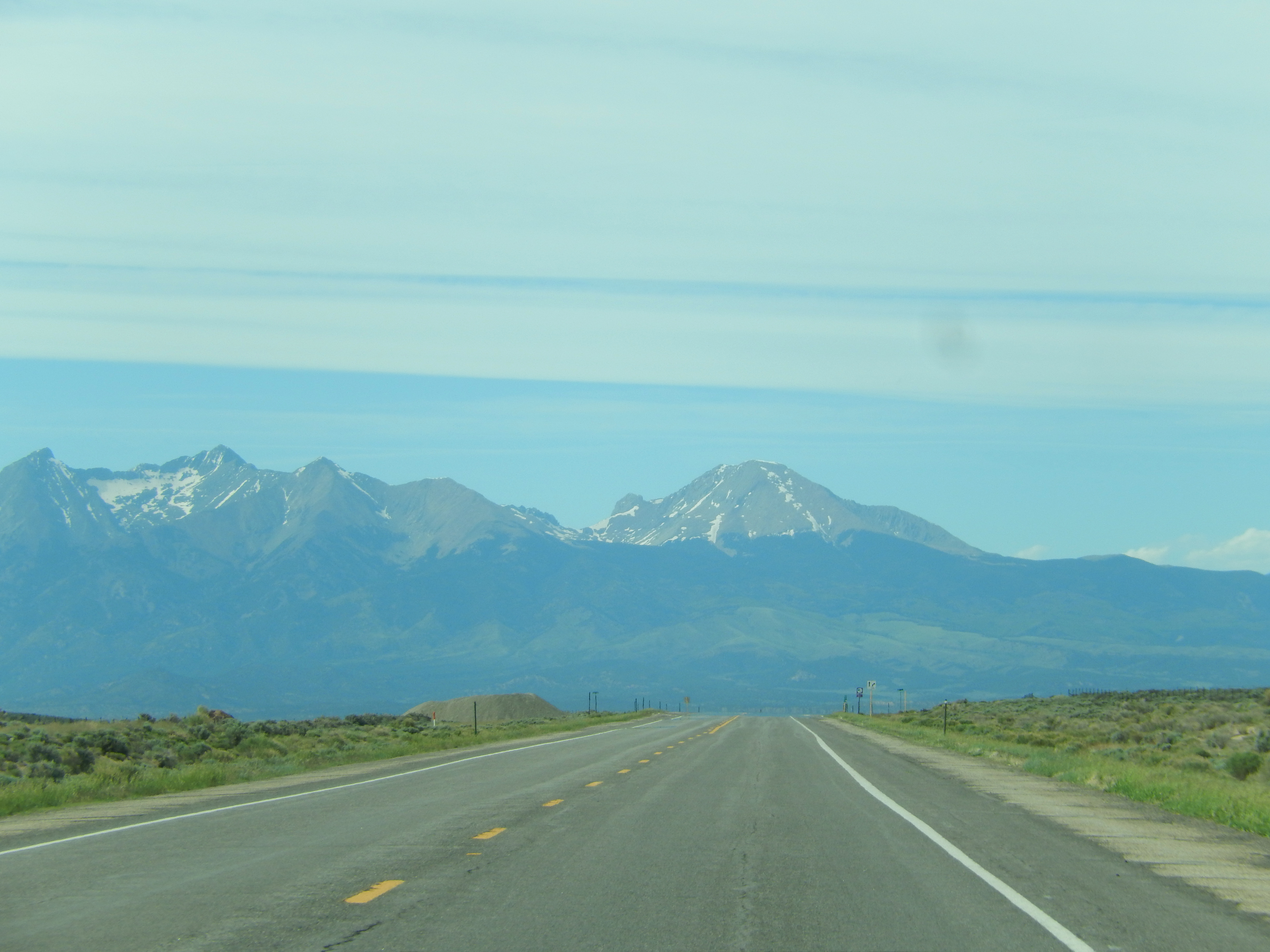
The Road Calls to Me: San Luis, Colorado (CO)
Taos Hanuman July 25 2013 : DSCN3796
TaosBoulderJune4-2014 : DSCN7818
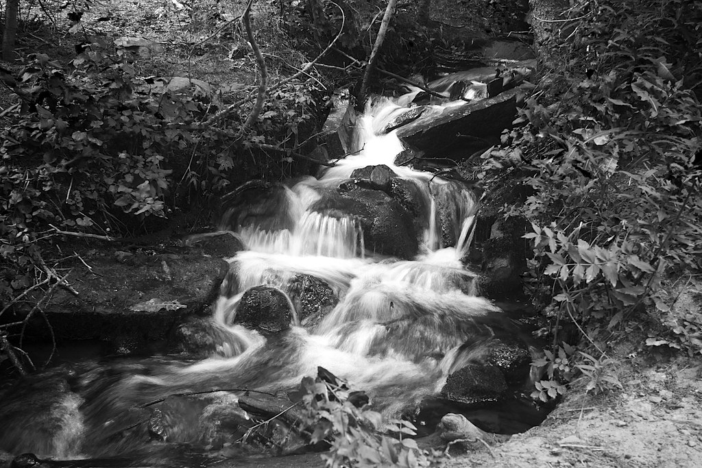
Stream Feeding Bear Lake
TaosBoulderJune4-2014 : DSCN7814
Topographic Map of Slegers Rd, Fort Garland, CO, USA
Find elevation by address:

Places near Slegers Rd, Fort Garland, CO, USA:
Ojito Peak
Warner Road
Evans Road
Joy Road
Pfotenhauer Road
18591 Wilking Rd
Leonard Road
1159 Pfotenhauer Rd
Juarez Road
Sangre De Cristo Ranches
71685 Fernow
7002 Valerie Rd N
Valerie Road North
7002 Valerie Rd N
7001 Valerie Rd
7436 Waligunda Rd
3704 Hartgrave Rd
Trinchera Peak
Dante Road
7191 Burnham Rd
Recent Searches:
- Elevation of Crocker Dr, Vacaville, CA, USA
- Elevation of Pu Ngaol Community Meeting Hall, HWHM+3X7, Krong Saen Monourom, Cambodia
- Elevation of Royal Ontario Museum, Queens Park, Toronto, ON M5S 2C6, Canada
- Elevation of Groblershoop, South Africa
- Elevation of Power Generation Enterprises | Industrial Diesel Generators, Oak Ave, Canyon Country, CA, USA
- Elevation of Chesaw Rd, Oroville, WA, USA
- Elevation of N, Mt Pleasant, UT, USA
- Elevation of 6 Rue Jules Ferry, Beausoleil, France
- Elevation of Sattva Horizon, 4JC6+G9P, Vinayak Nagar, Kattigenahalli, Bengaluru, Karnataka, India
- Elevation of Great Brook Sports, Gold Star Hwy, Groton, CT, USA