Elevation of Gribbles Peak, Yukon, Unorganized, YT Y0B, Canada
Location: Canada > Yukon Territory > Yukon > Haines Junction >
Longitude: -137.16416
Latitude: 60.2780555
Elevation: 2088m / 6850feet
Barometric Pressure: 79KPa
Elevation Map:
Satellite Map:
Related Photos:
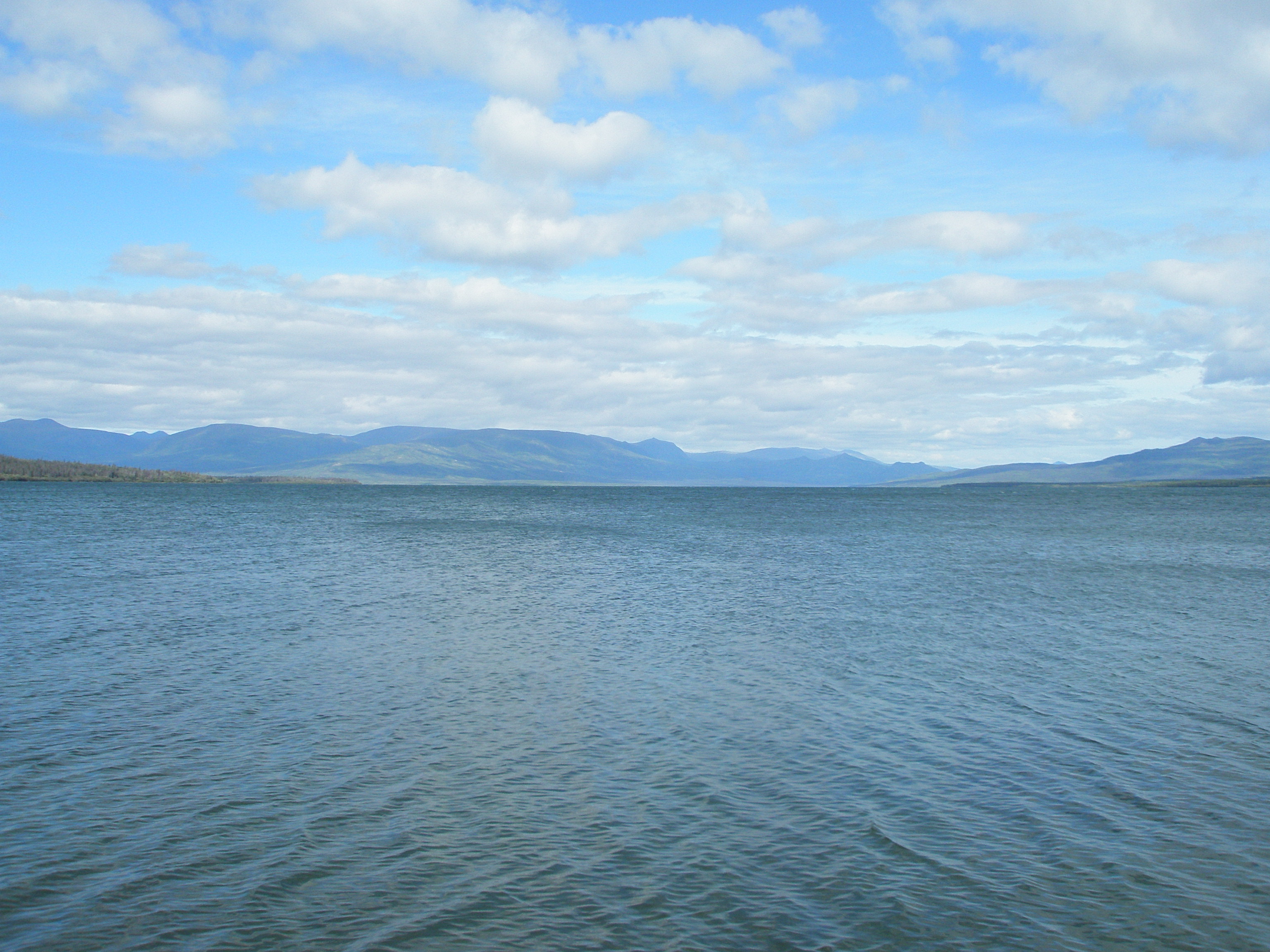
Scenic view of Dezadeash Lake - part 1
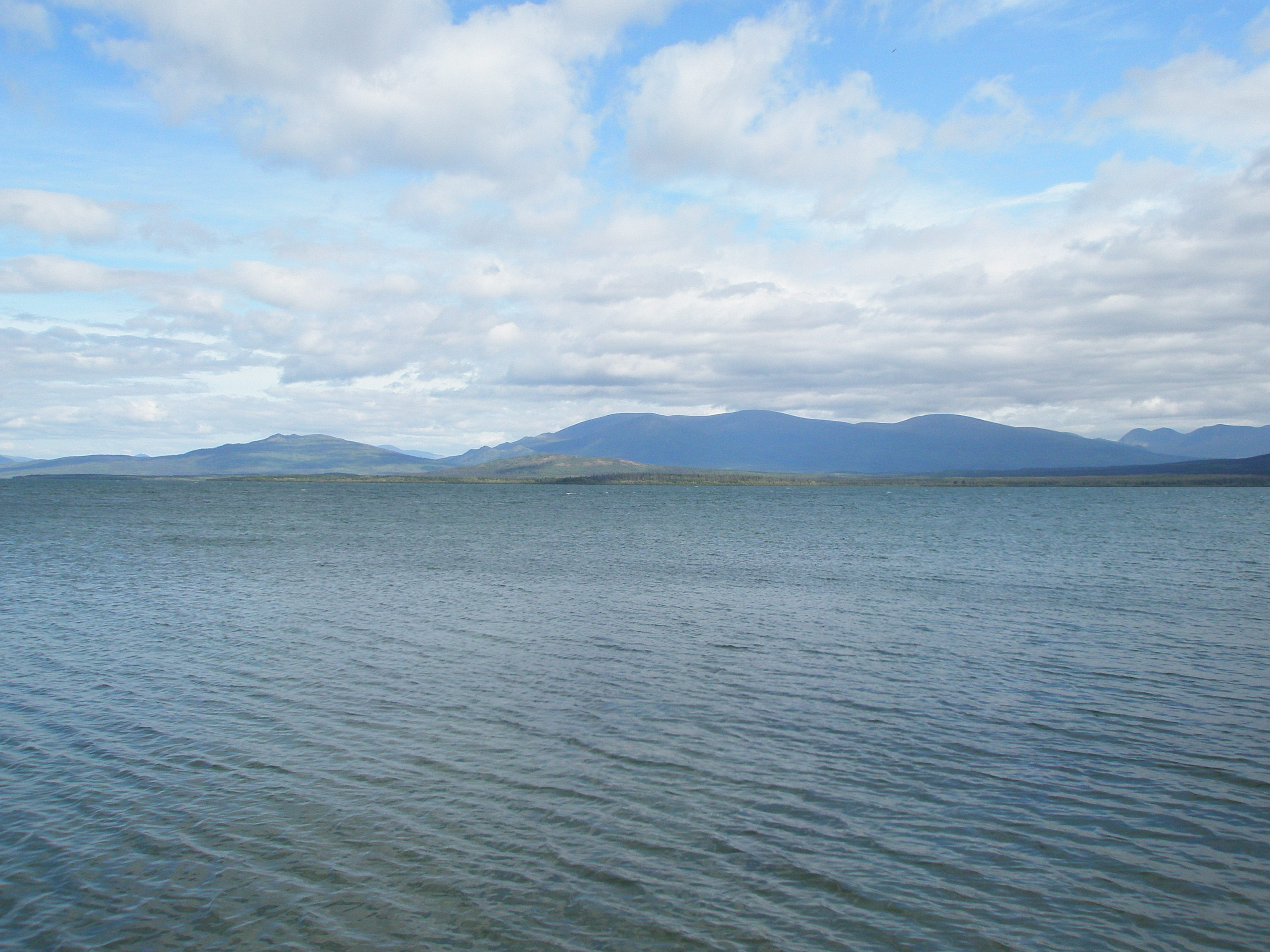
Scenic view of Dezadeash Lake - part 2
Topographic Map of Gribbles Peak, Yukon, Unorganized, YT Y0B, Canada
Find elevation by address:

Places near Gribbles Peak, Yukon, Unorganized, YT Y0B, Canada:
Silver Peak
Motherall Peak
Mount Beaton
Haines Peak
Low Fog Peak
Alsek Peak
Alsek S5
Alsek Sw3
Alsek W4
Campsite Peak
Alsek W5
Detour N4
Sediments Peak
Detour Se3
Detour Peak
Iron Peak
Mount Parton
Alkie Peak
Range Peak
Dyke Peak
Recent Searches:
- Elevation of Corso Fratelli Cairoli, 35, Macerata MC, Italy
- Elevation of Tallevast Rd, Sarasota, FL, USA
- Elevation of 4th St E, Sonoma, CA, USA
- Elevation of Black Hollow Rd, Pennsdale, PA, USA
- Elevation of Oakland Ave, Williamsport, PA, USA
- Elevation of Pedrógão Grande, Portugal
- Elevation of Klee Dr, Martinsburg, WV, USA
- Elevation of Via Roma, Pieranica CR, Italy
- Elevation of Tavkvetili Mountain, Georgia
- Elevation of Hartfords Bluff Cir, Mt Pleasant, SC, USA