Elevation map of Alkie Peak, Stikine Region, BC V0W, Canada
Location: Canada > British Columbia > Atlin >
Longitude: -137.34944
Latitude: 59.6708333
Elevation: 2062m / 6765feet
Barometric Pressure: 79KPa
Elevation Map:
Satellite Map:
Related Photos:
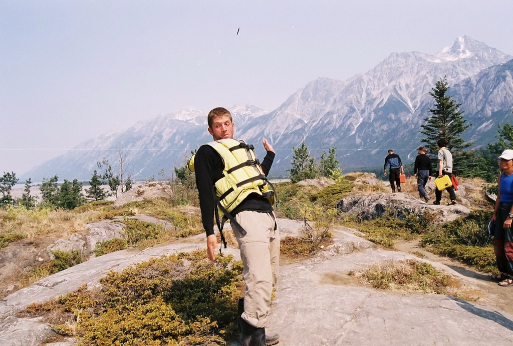
Scott, doing what he does

DSC00623.jpg

DSC00616.jpg

DSC00574.jpg

DSC0581-584.pano.jpg

DSC00636.jpg

DSC00579.jpg

DSC00565.jpg
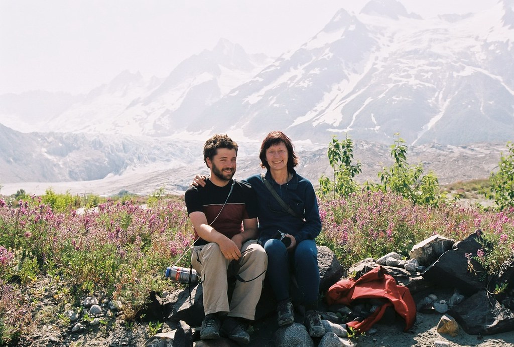
Pat & his mom
Topographic Map of Alkie Peak, Stikine Region, BC V0W, Canada
Find elevation by address:

Places near Alkie Peak, Stikine Region, BC V0W, Canada:
Sediments Peak
Henshi Peak
Tomahnous Peak
Range Peak
Low Fog Peak
Detour Se3
Towagh W2
Detour Peak
Towagh Peak
Detour N4
Towagh Se3
Basement Nw2
Noisy Peak
Tats Peak
Basement N2
Basement Peak
Alsek S5
Basement Se3
Alsek Peak
Alsek Sw3
Recent Searches:
- Elevation of Corso Fratelli Cairoli, 35, Macerata MC, Italy
- Elevation of Tallevast Rd, Sarasota, FL, USA
- Elevation of 4th St E, Sonoma, CA, USA
- Elevation of Black Hollow Rd, Pennsdale, PA, USA
- Elevation of Oakland Ave, Williamsport, PA, USA
- Elevation of Pedrógão Grande, Portugal
- Elevation of Klee Dr, Martinsburg, WV, USA
- Elevation of Via Roma, Pieranica CR, Italy
- Elevation of Tavkvetili Mountain, Georgia
- Elevation of Hartfords Bluff Cir, Mt Pleasant, SC, USA