Elevation of Greenville Rd, Wentworth, NS B0M 1Z0, Canada
Location: Canada > Nova Scotia > Cumberland County > Cumberland, Subd. D > Wentworth >
Longitude: -63.629144
Latitude: 45.681576
Elevation: 79m / 259feet
Barometric Pressure: 100KPa
Elevation Map:
Satellite Map:
Related Photos:
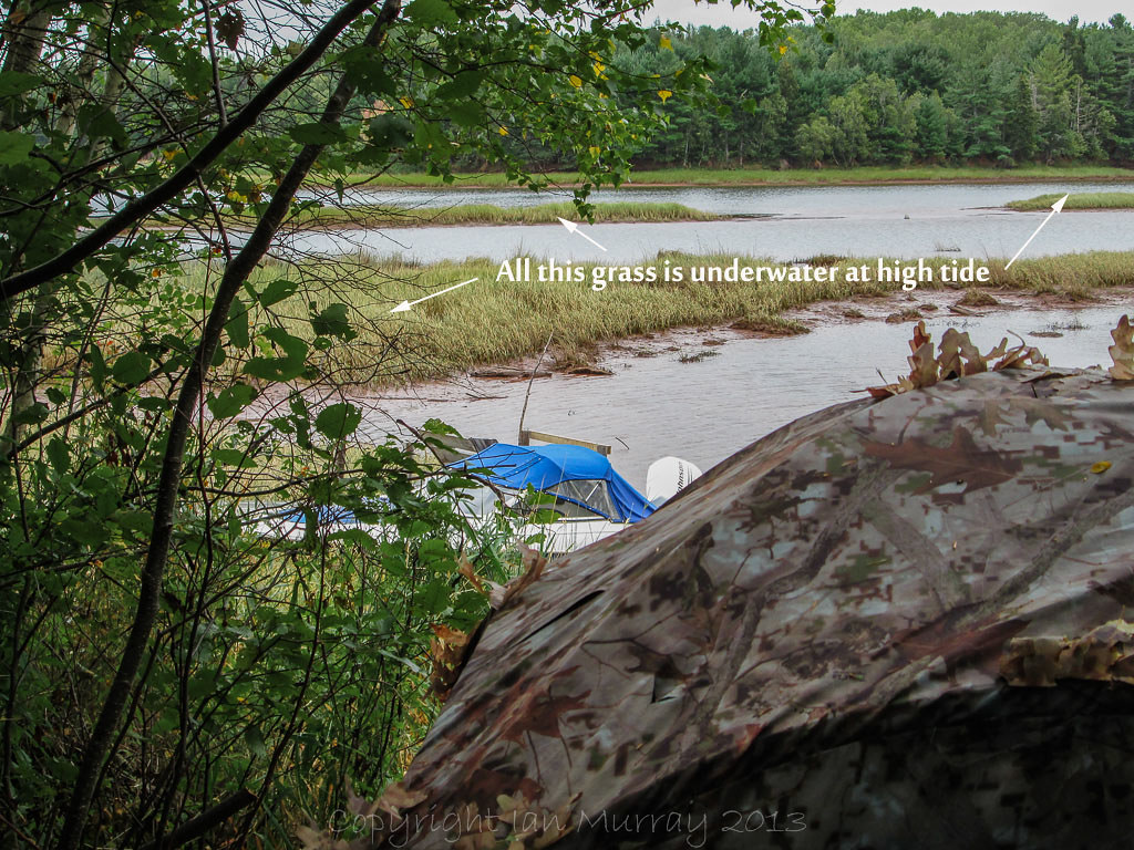
IMG_0050 Blind beside river
IMG_0018-2000018
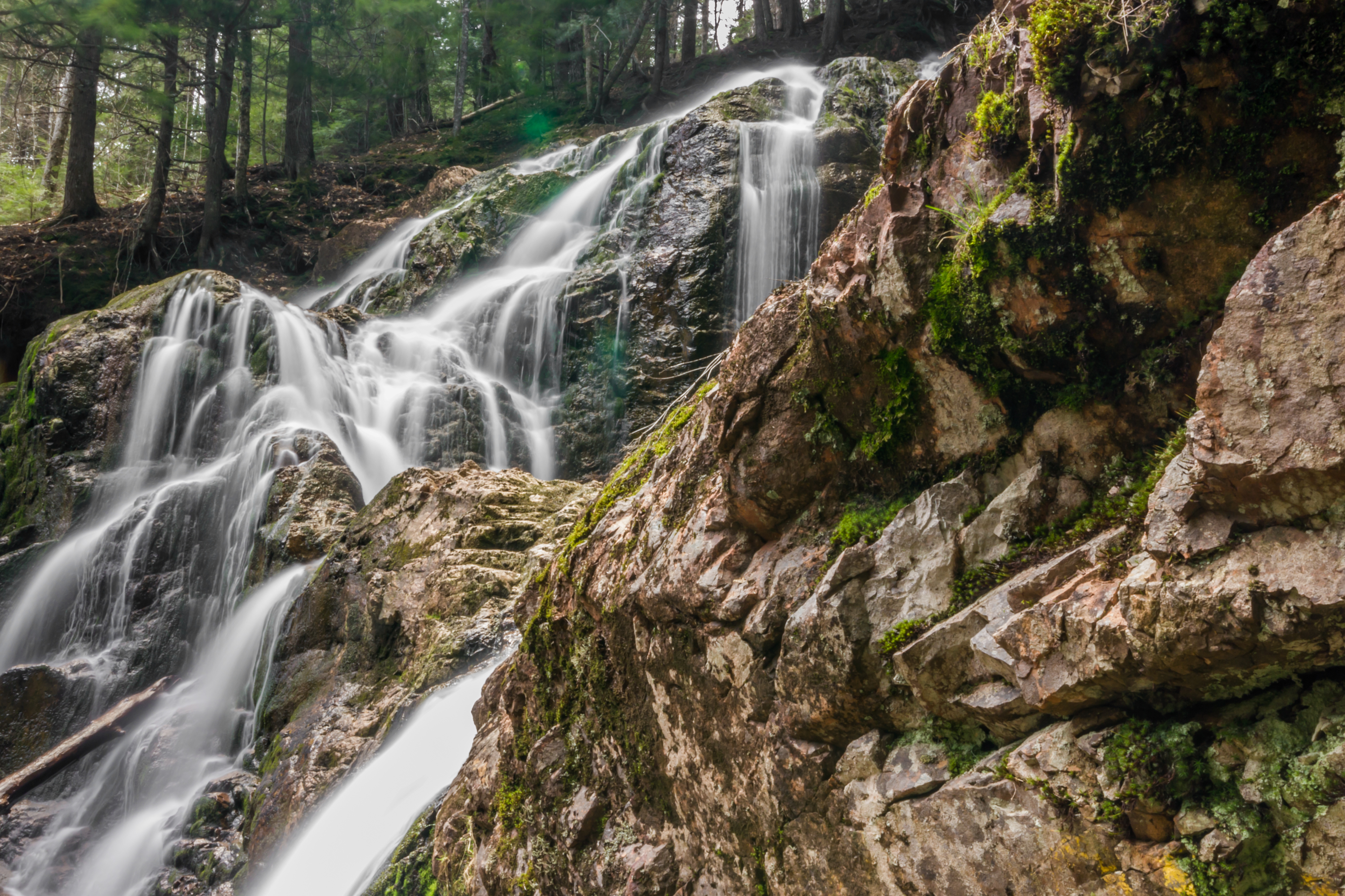
Wentworth Falls
After the Rains
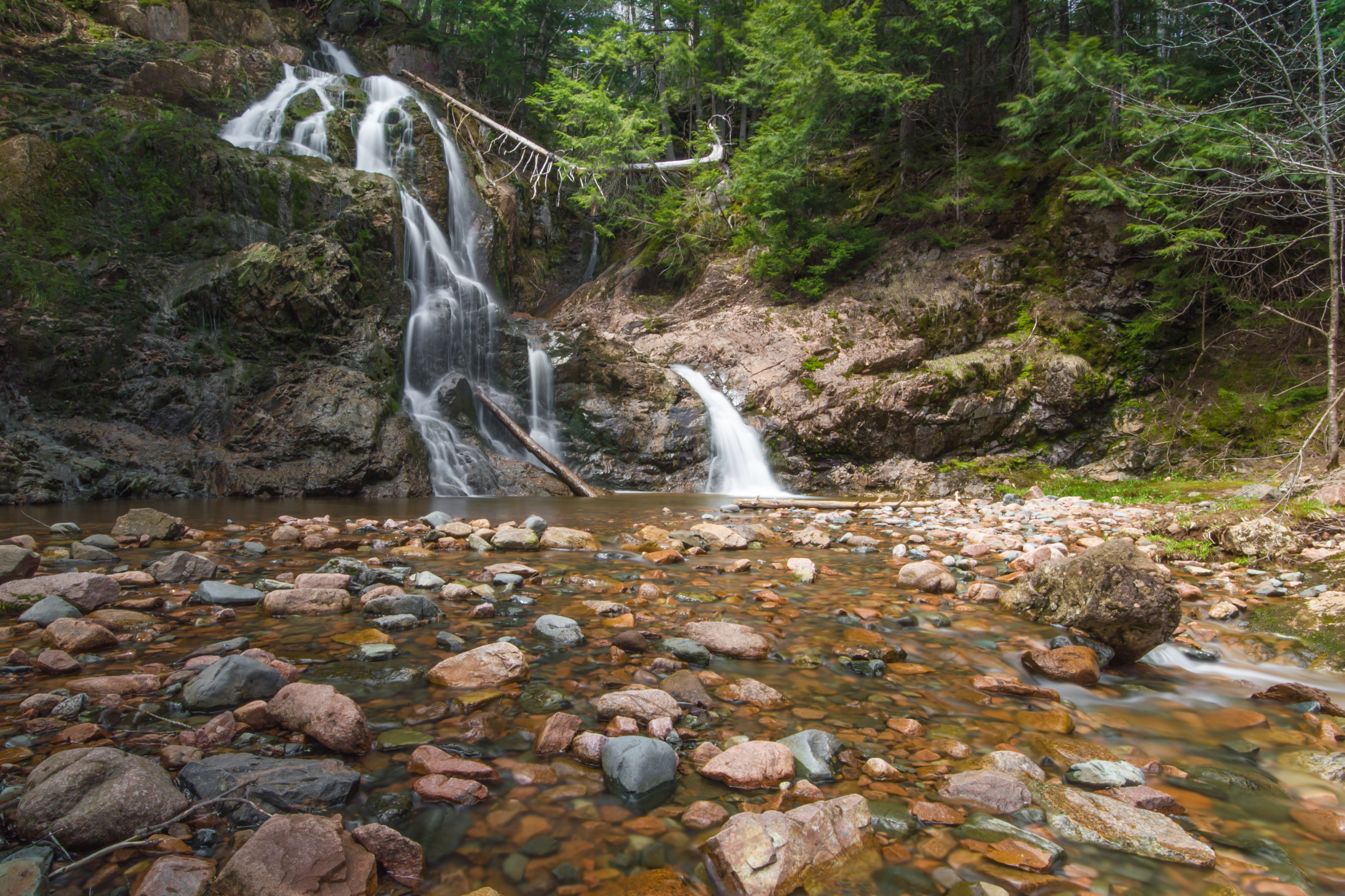
Wentworth Falls
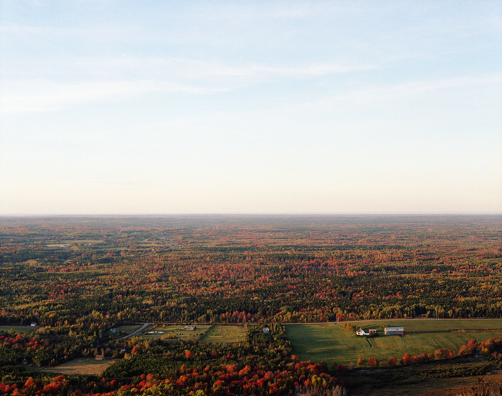
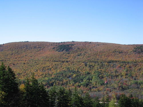
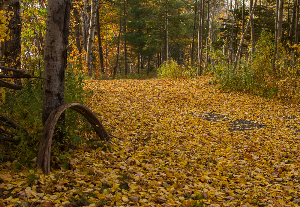
autumn.
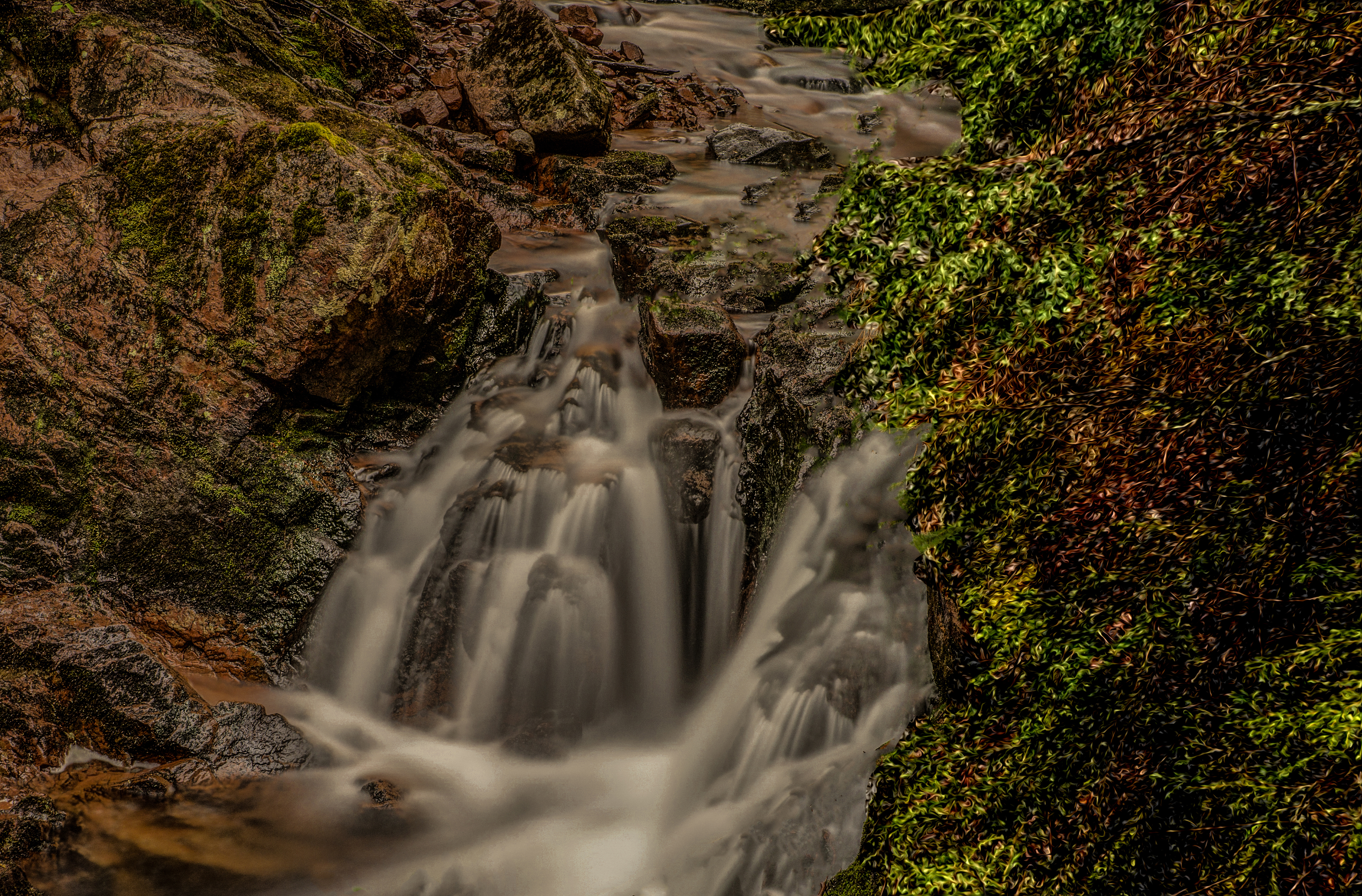
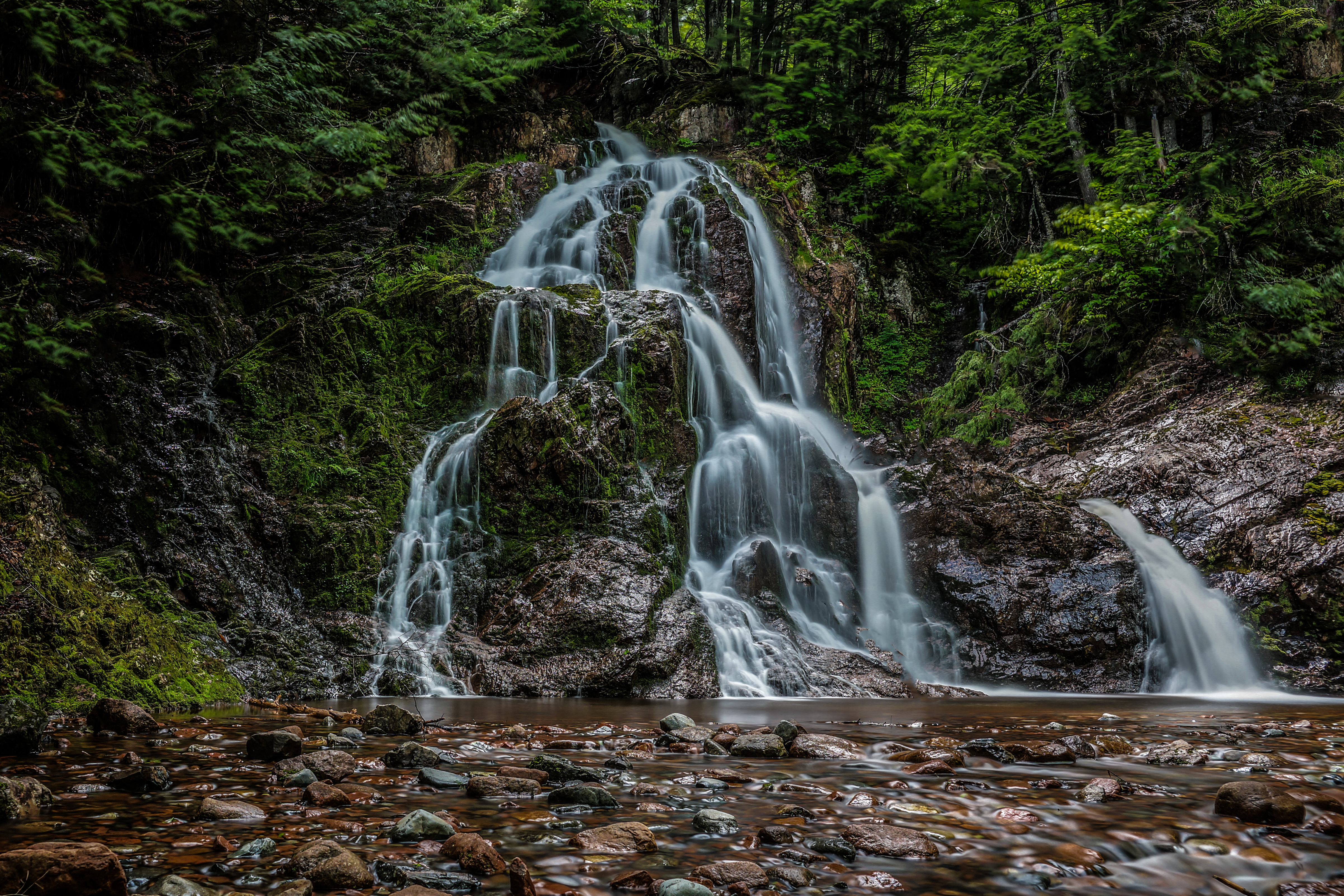
Hart Lake Brook Upper Falls (1)
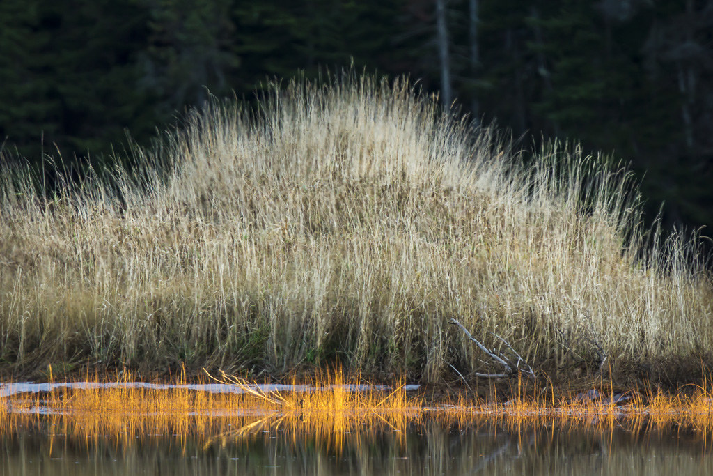
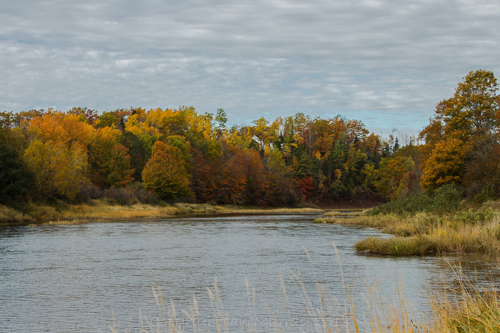
IMGL8038 Autumn on the River
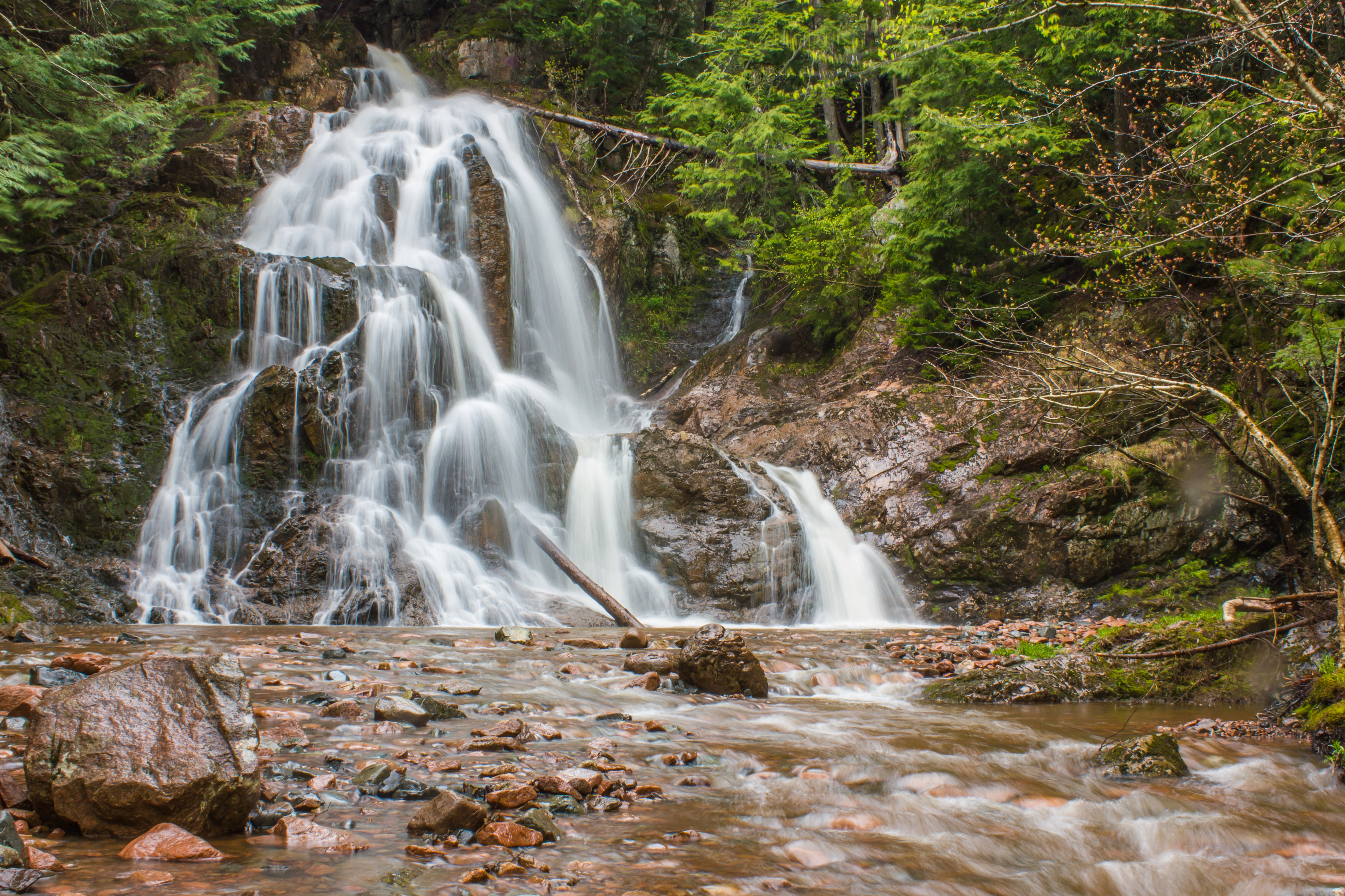
Wentworth Falls
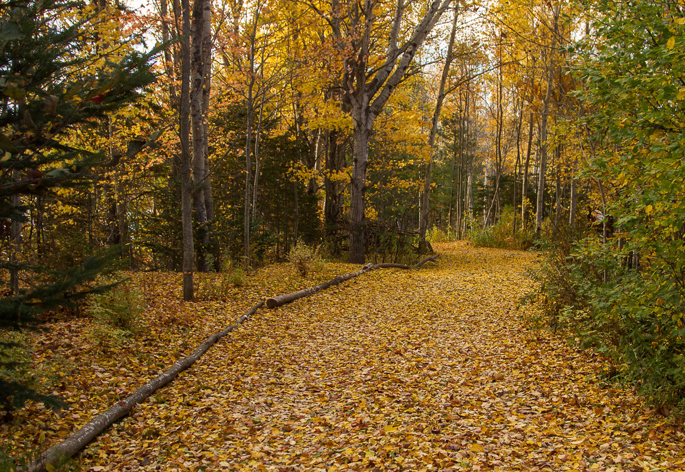
IMG_3879 What a Colourful Autumn!
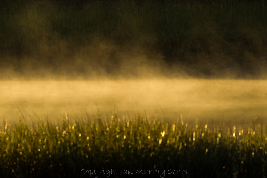
IMGL5258 Misty Morning Wallace River

IMGL7723 Purple Finch (F)

IMG_3876 What a Colourful Autumn!
IMGL8037 Autumn on the River
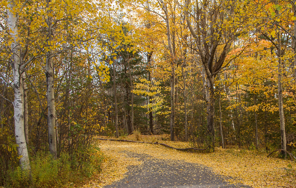
IMG_3873 What a Colourful Autumn!
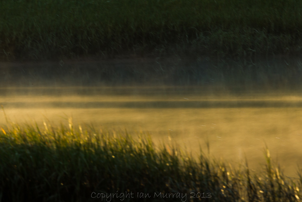
IMGL5261 Misty Morning Wallace River
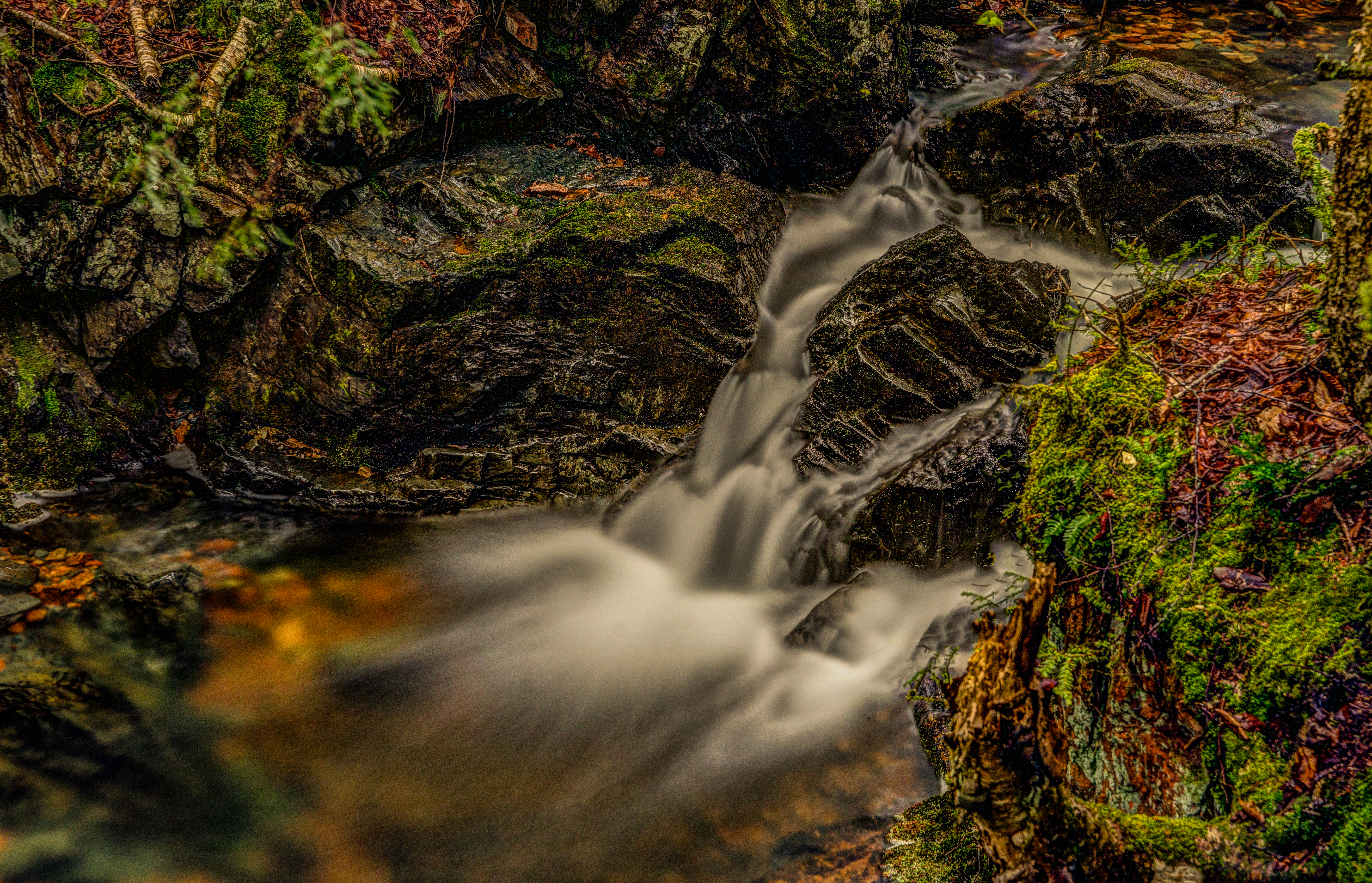
Hart Lake Brook Upper Falls (7)
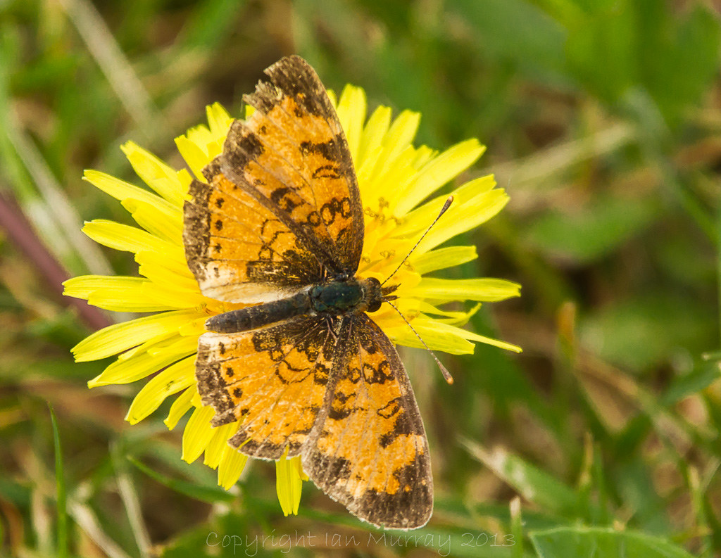
IMGL5642 Butterfly on Dandelion

IMGL5338 Misty Morning Wallace River
IMG_3877 What a Colourful Autumn!

IMGL5255 Misty Morning Wallace River
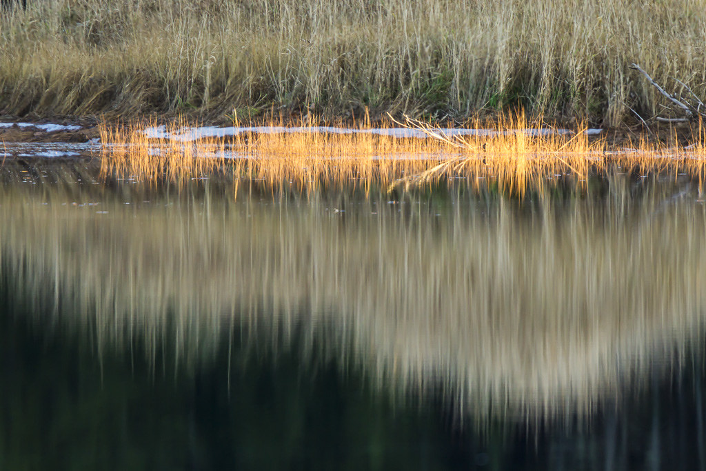
IMGL7603 Wallace River, Nova Scotia

IMGL7748 Purple Finch (F)
Topographic Map of Greenville Rd, Wentworth, NS B0M 1Z0, Canada
Find elevation by address:

Places near Greenville Rd, Wentworth, NS B0M 1Z0, Canada:
Greenville Rd, Wentworth, NS B0M 1Z0, Canada
5114 Wentworth Collingwood Rd
4 Valley Rd, Westchester Station, NS B0M 2A0, Canada
Westchester Station
NS-4, Wentworth, NS B0M 1Z0, Canada
Wentworth
Ski Wentworth
B0k 1m0
689 Kerrs Mill Rd
Miller Rd, Pugwash, NS B0K 1L0, Canada
Pugwash
51 Black St
Logan Rd, Malagash, NS B0K 1E0, Canada
King Street
125 King St
143 King St
2074 Kolbec Rd
451 Gulf Shore Rd
Cobequid Pass Toll Plaza
9 Mciver Dr
Recent Searches:
- Elevation of Corso Fratelli Cairoli, 35, Macerata MC, Italy
- Elevation of Tallevast Rd, Sarasota, FL, USA
- Elevation of 4th St E, Sonoma, CA, USA
- Elevation of Black Hollow Rd, Pennsdale, PA, USA
- Elevation of Oakland Ave, Williamsport, PA, USA
- Elevation of Pedrógão Grande, Portugal
- Elevation of Klee Dr, Martinsburg, WV, USA
- Elevation of Via Roma, Pieranica CR, Italy
- Elevation of Tavkvetili Mountain, Georgia
- Elevation of Hartfords Bluff Cir, Mt Pleasant, SC, USA