Elevation of Greensboro Rd NW, Crawfordville, GA, USA
Location: United States > Georgia > Taliaferro County > Crawfordville >
Longitude: -82.988640
Latitude: 33.5827102
Elevation: 188m / 617feet
Barometric Pressure: 99KPa
Elevation Map:
Satellite Map:
Related Photos:
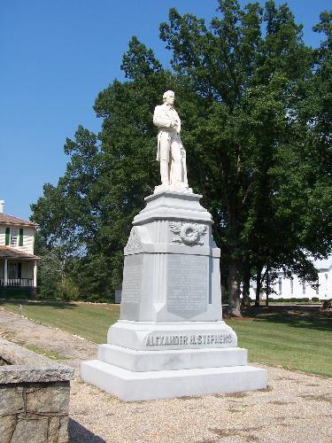
Alexander H. Stephens Statue
Liberty Hall, Rear View

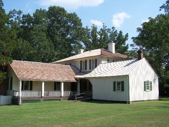
Liberty Hall, Home of Alexander H. Stephens

Rear View
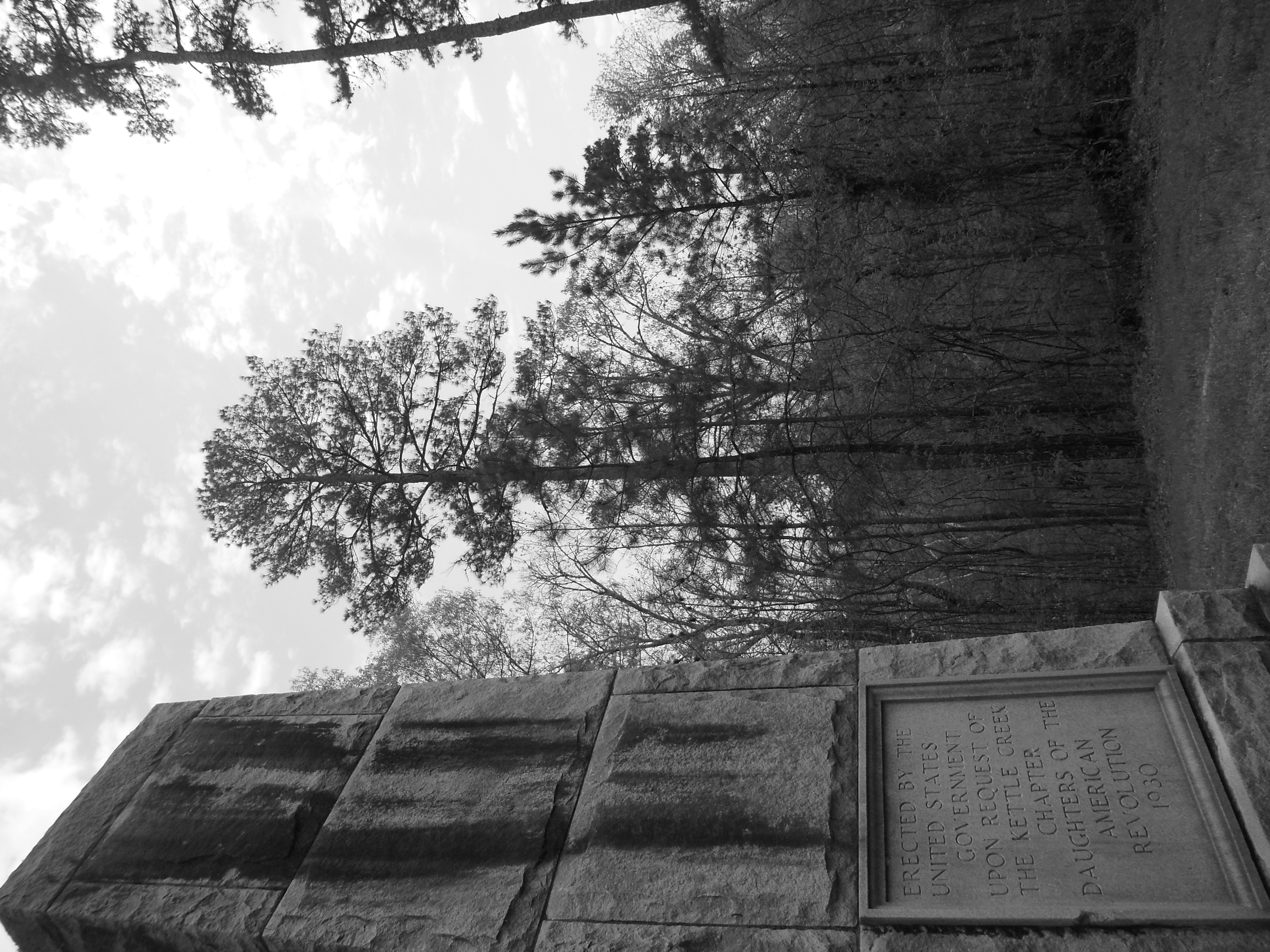
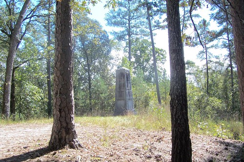
Kettle Creek Battlefield Memorial
Kettle Creek Battlefield Memorial
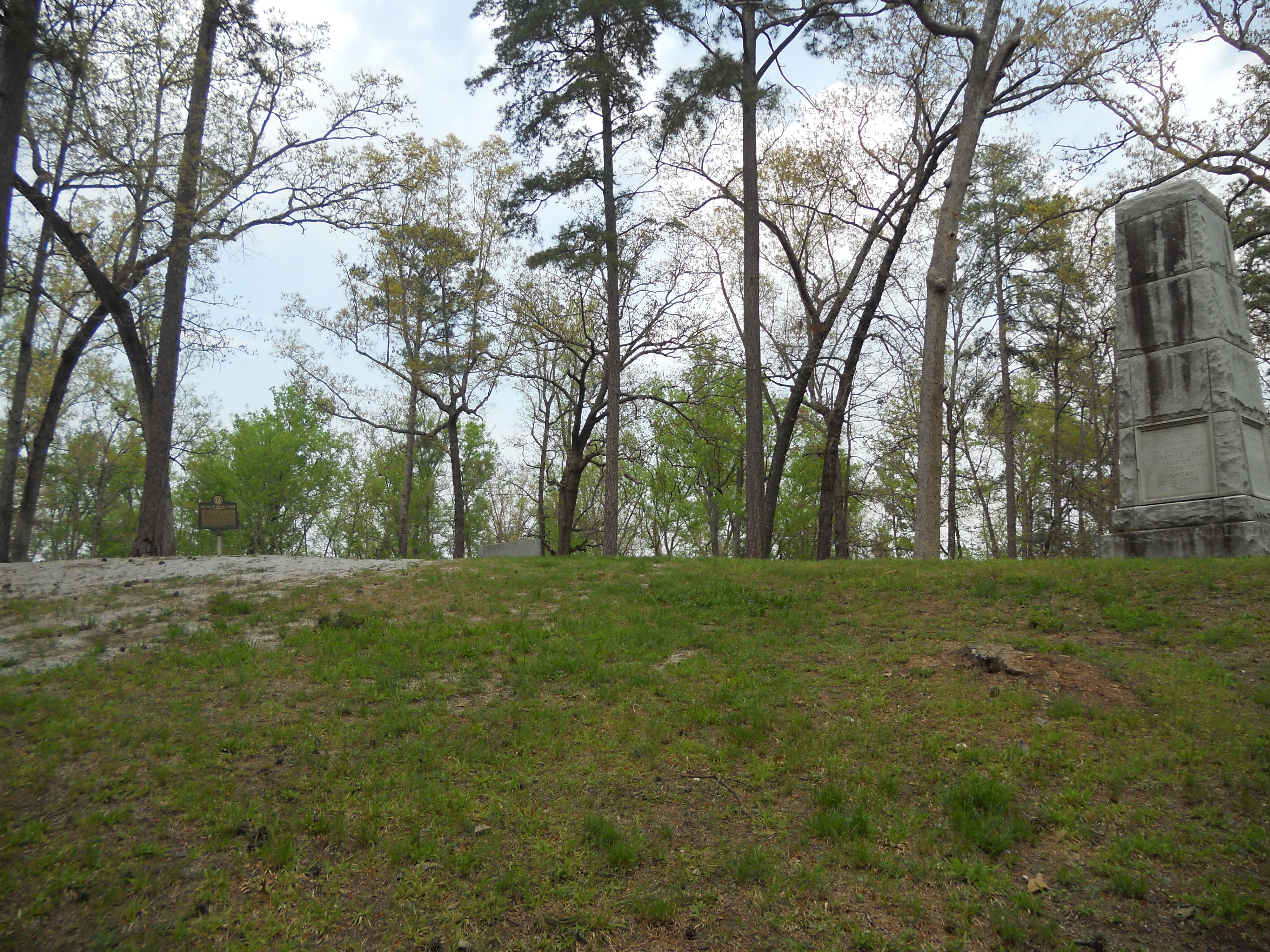
Kettle Creek Battlefield

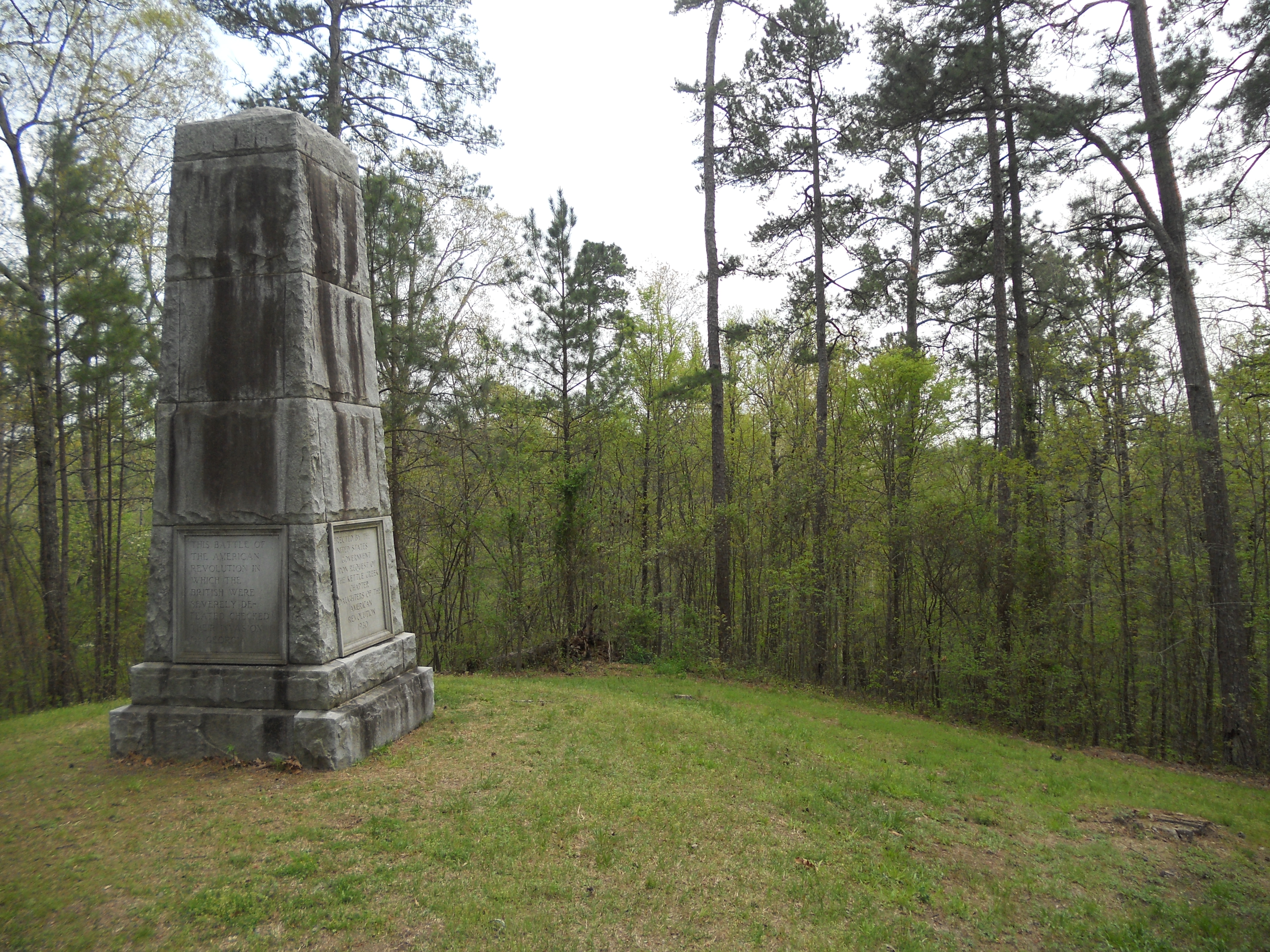
Kettle Creek Battlefield Memorial
Kettle Creek Battlefield

Riding at Sockman's Hart Farm trails

Riding at Sockman's Hart Farm trails

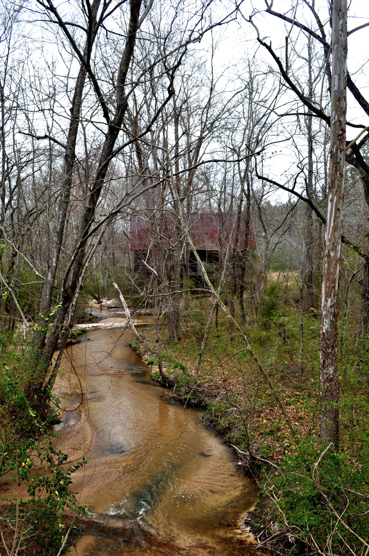
Near White Plains, Georgia
Near White Plains, Georgia
SOMETHING IN TOP LEFT CORNER
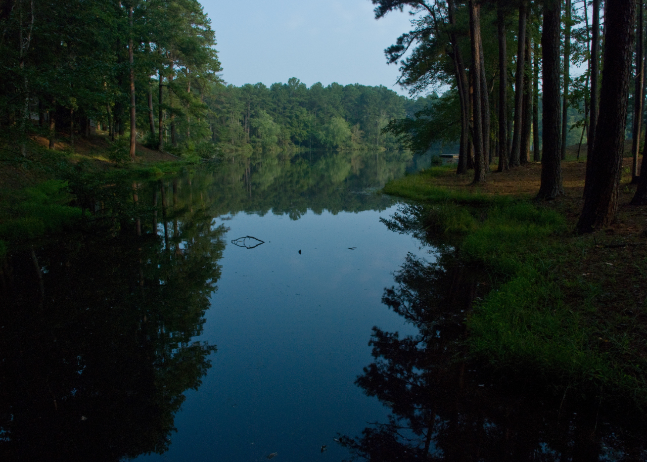
Beautiful lake
Woodville Fire Tower
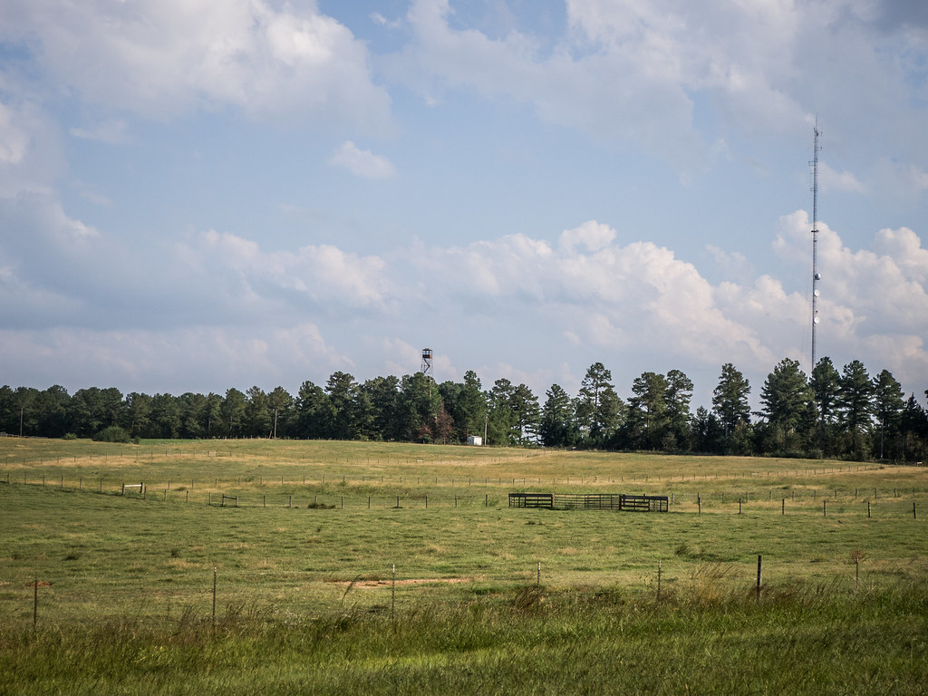
Near Greensboro, Georgia
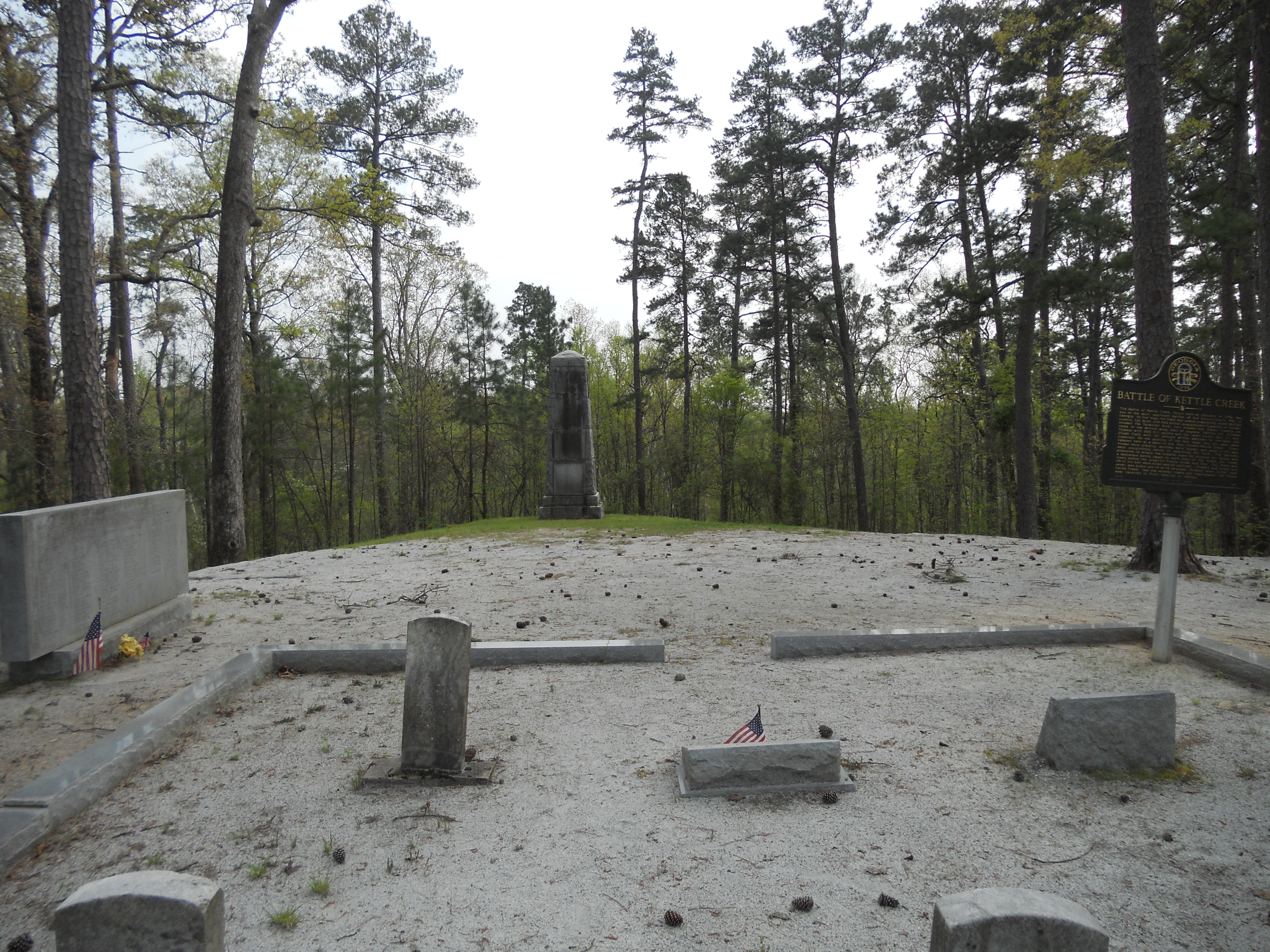
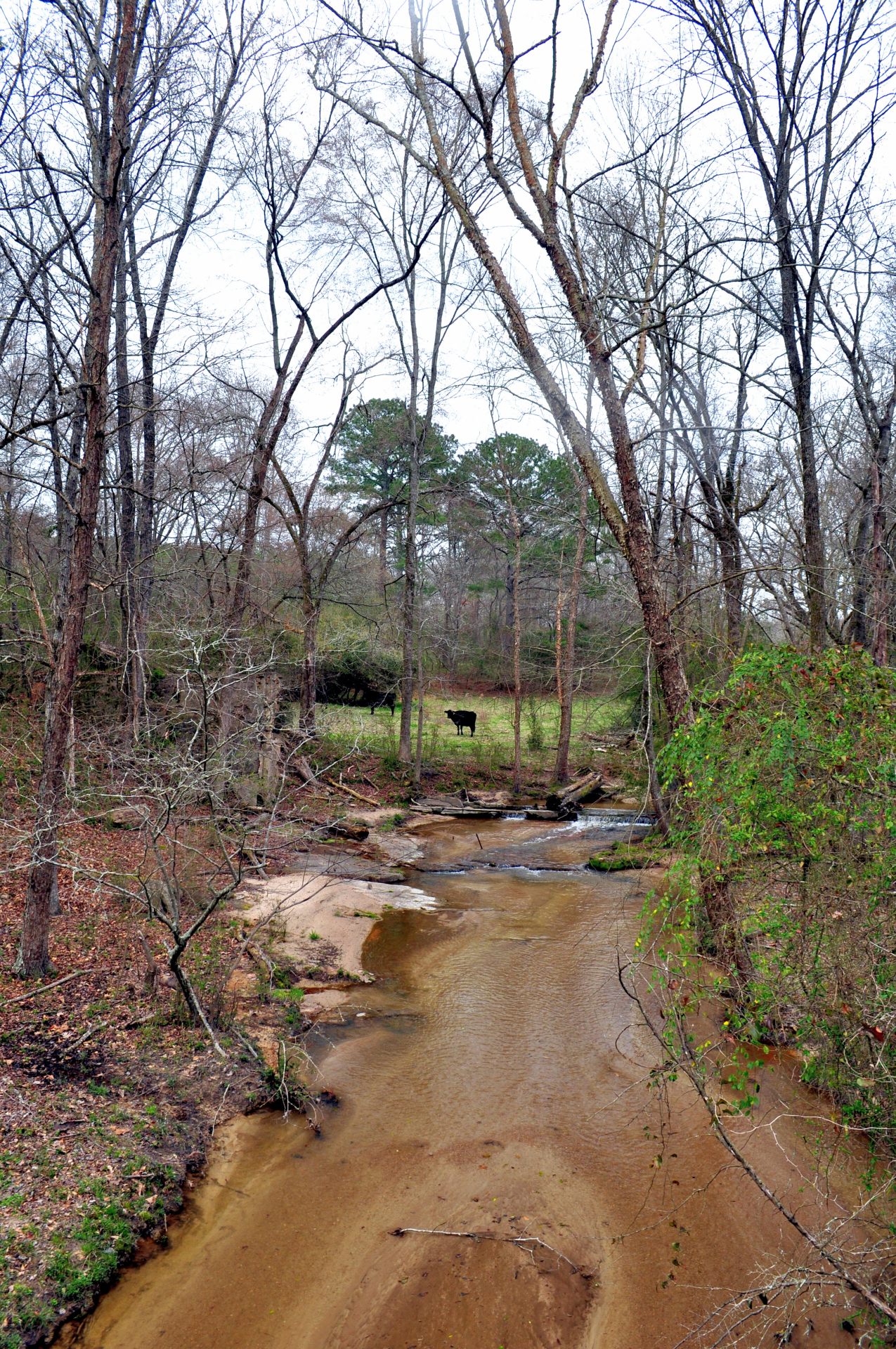
Battle of Kettle Creek, Wilkes County, GA

Bowles-Durham Cemetery
Near Greensboro, Georgia
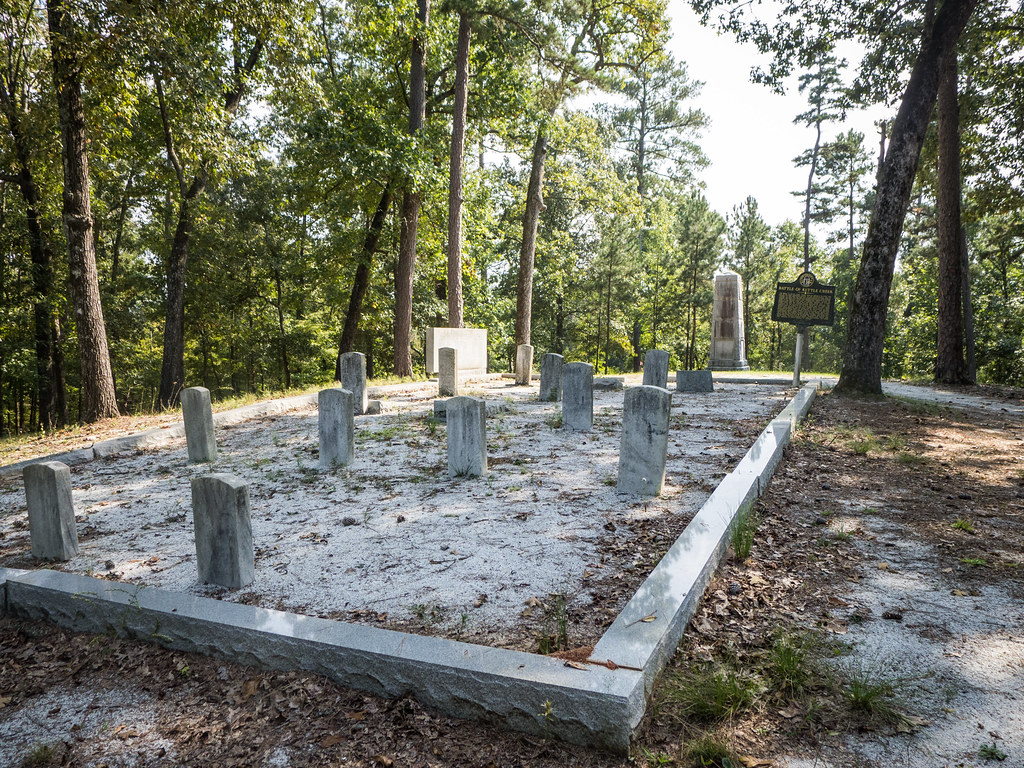
Kettle Creek Battlefield Cemetery
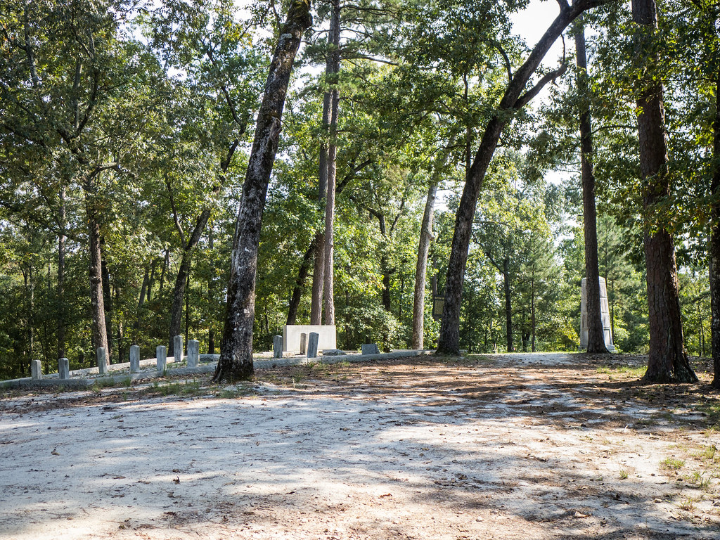
Kettle Creek Battlefield
Topographic Map of Greensboro Rd NW, Crawfordville, GA, USA
Find elevation by address:

Places near Greensboro Rd NW, Crawfordville, GA, USA:
Browns Chapel Rd, Union Point, GA, USA
Union Point
Woodville Rd, Union Point, GA, USA
White Plains
2271 Fuller Rd
1100 W Main St
GA-15, White Plains, GA, USA
Crawfordville Rd, Rayle, GA, USA
E Peachtree Ave, Woodville, GA, USA
Woodville
Veazey Rd, White Plains, GA, USA
1940 Leslie Mill Rd
Pool Ave, Greensboro, GA, USA
Armour Cir, Greensboro, GA, USA
1091 Armour Cir
Greene County
1421 Gray Horse Rd
1411 Gray Horse Rd
Greensboro
Penfield Rd, Union Point, GA, USA
Recent Searches:
- Elevation of Corso Fratelli Cairoli, 35, Macerata MC, Italy
- Elevation of Tallevast Rd, Sarasota, FL, USA
- Elevation of 4th St E, Sonoma, CA, USA
- Elevation of Black Hollow Rd, Pennsdale, PA, USA
- Elevation of Oakland Ave, Williamsport, PA, USA
- Elevation of Pedrógão Grande, Portugal
- Elevation of Klee Dr, Martinsburg, WV, USA
- Elevation of Via Roma, Pieranica CR, Italy
- Elevation of Tavkvetili Mountain, Georgia
- Elevation of Hartfords Bluff Cir, Mt Pleasant, SC, USA