Elevation of E Peachtree Ave, Woodville, GA, USA
Location: United States > Georgia > Greene County > Woodville >
Longitude: -83.105632
Latitude: 33.67195
Elevation: 216m / 709feet
Barometric Pressure: 99KPa
Elevation Map:
Satellite Map:
Related Photos:

Rear View
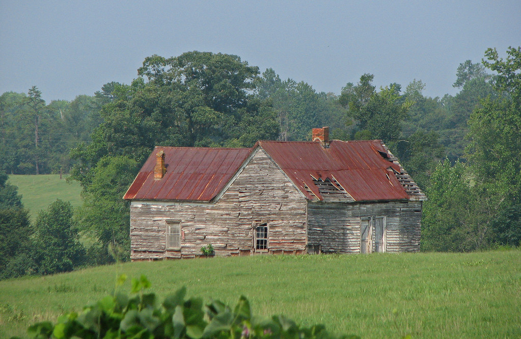
old house in rural georgia

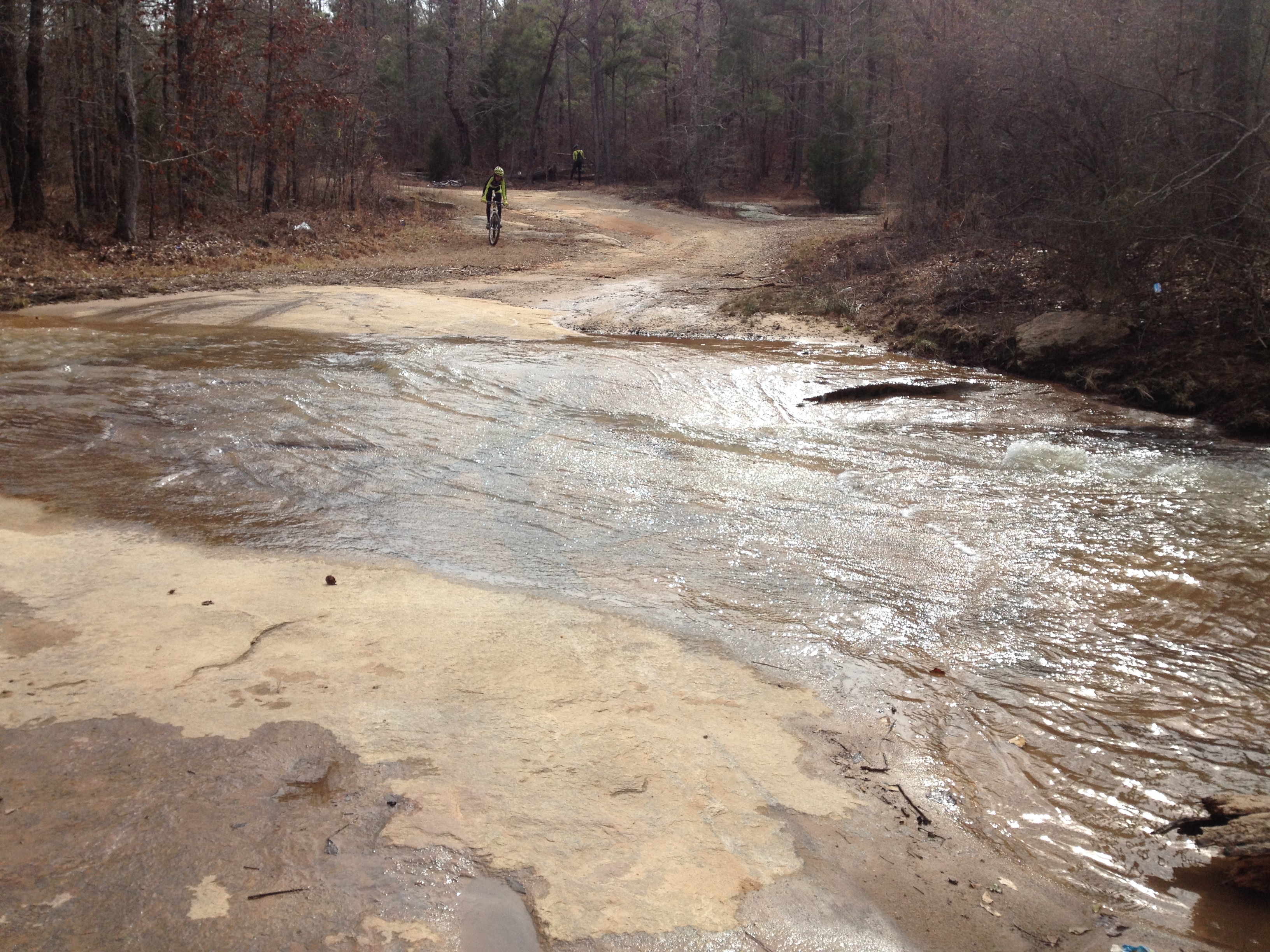
Riding at Sockman's Hart Farm trails

Riding at Sockman's Hart Farm trails

Rosa-wedding-91.JPG
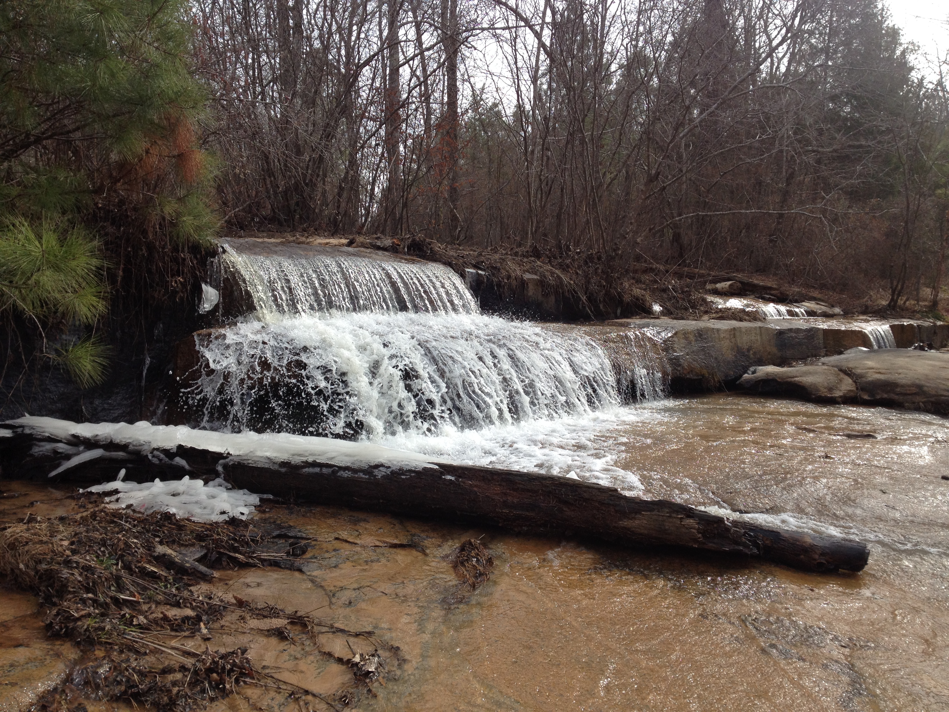
Falling Creek Falls

Old Doorway
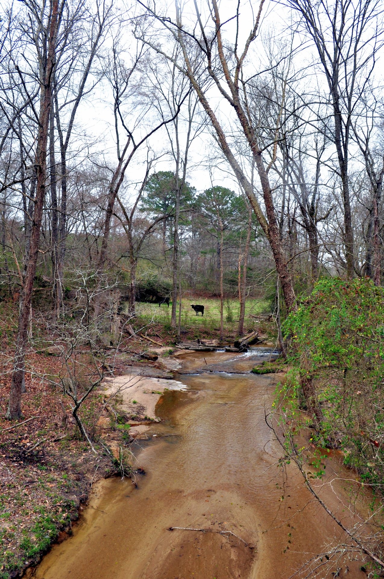
Falling Creek Shoal
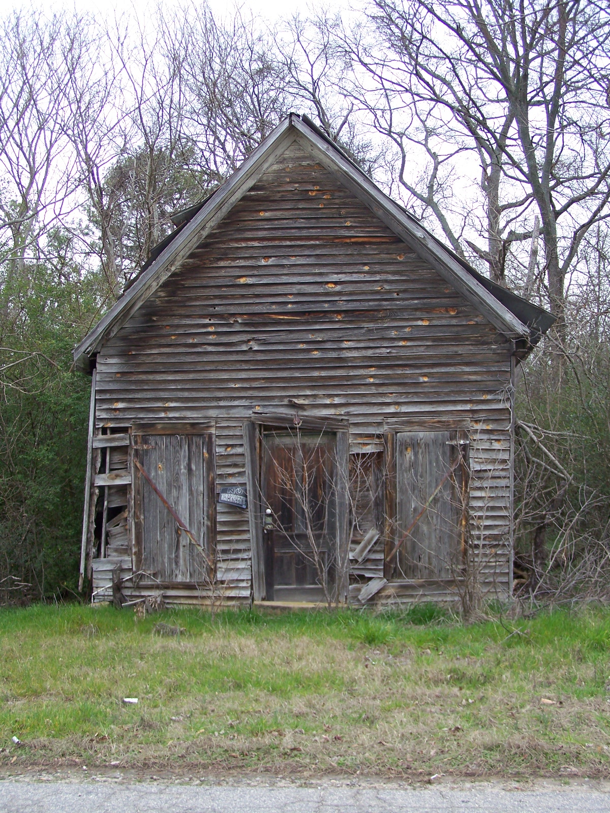
OLD BUILDING
SOMETHING IN TOP LEFT CORNER
Rosa-wedding-19.JPG

Bowles-Durham Cemetery

Rosa-wedding-20.JPG
Woodville Fire Tower
Near Greensboro, Georgia
Near Greensboro, Georgia
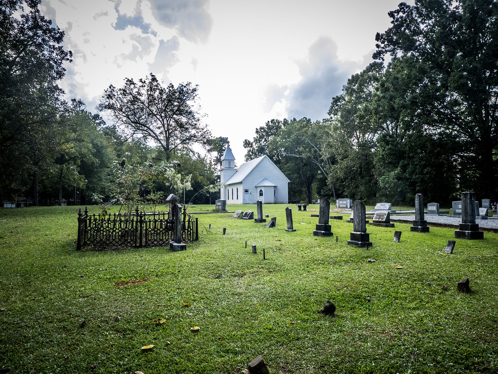
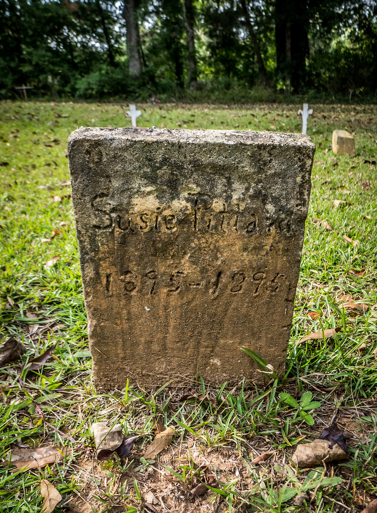
Philomath Church Cemetery
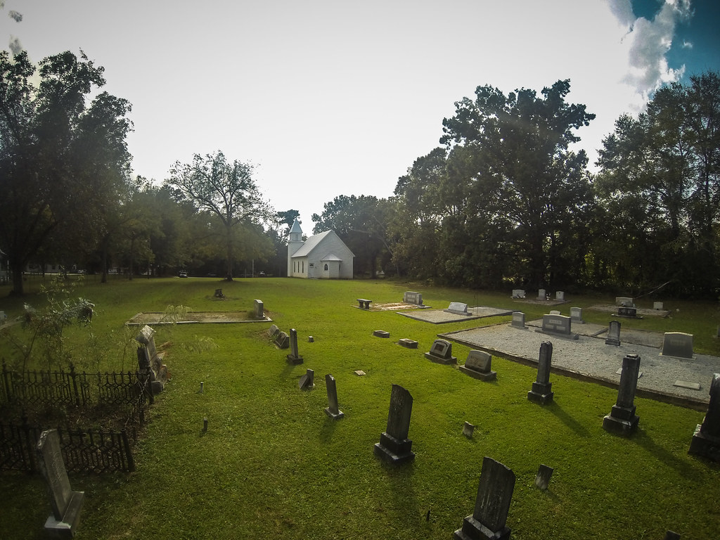
Philomath Church Cemetery
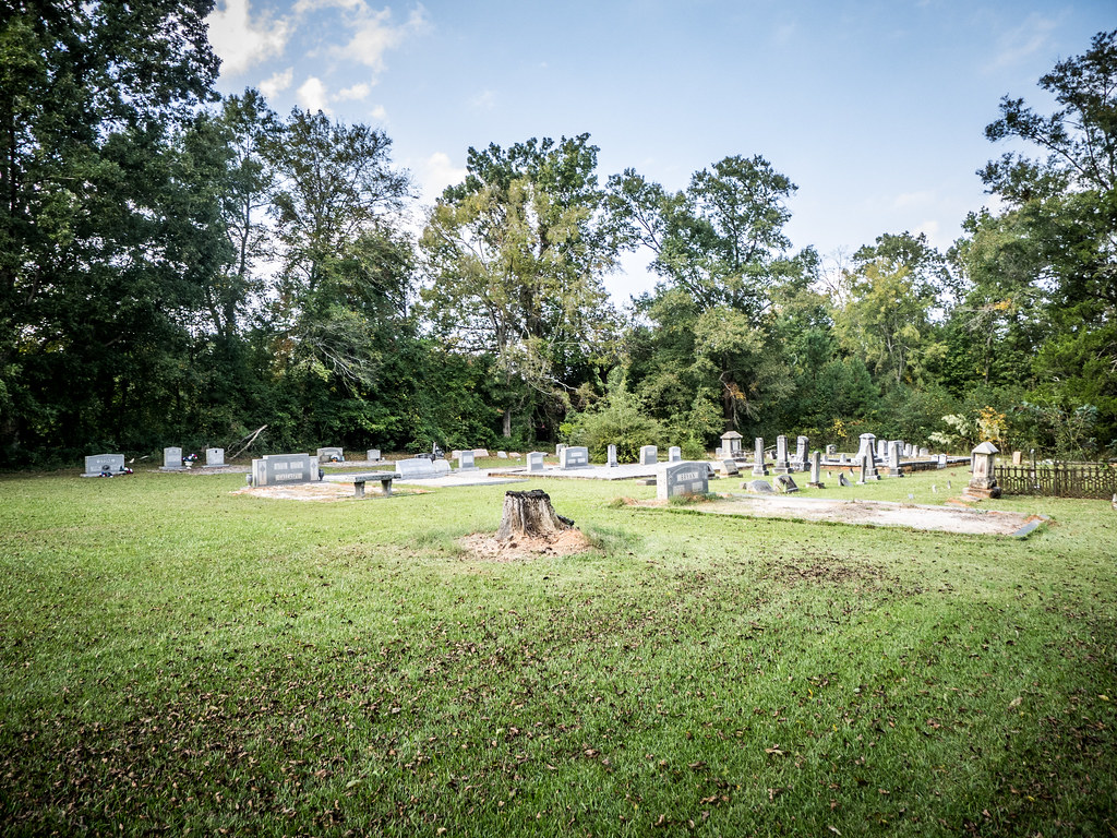
Philomath Church Cemetery
Philomath Church Cemetery
Topographic Map of E Peachtree Ave, Woodville, GA, USA
Find elevation by address:

Places near E Peachtree Ave, Woodville, GA, USA:
Woodville
Woodville Rd, Union Point, GA, USA
Union Point
2972 Union Point Rd
Penfield Rd, Union Point, GA, USA
Browns Chapel Rd, Union Point, GA, USA
Pool Ave, Greensboro, GA, USA
Greensboro
Crawfordville Rd, Rayle, GA, USA
1091 Armour Cir
Armour Cir, Greensboro, GA, USA
Greensboro Rd NW, Crawfordville, GA, USA
Jimmy Britt Chevrolet Buick Gmc
Old Eatonton Rd, Greensboro, GA, USA
2271 Fuller Rd
Greene County
1271 Northwoods Dr
1421 Gray Horse Rd
1411 Gray Horse Rd
1940 Leslie Mill Rd
Recent Searches:
- Elevation of Royal Ontario Museum, Queens Park, Toronto, ON M5S 2C6, Canada
- Elevation of Groblershoop, South Africa
- Elevation of Power Generation Enterprises | Industrial Diesel Generators, Oak Ave, Canyon Country, CA, USA
- Elevation of Chesaw Rd, Oroville, WA, USA
- Elevation of N, Mt Pleasant, UT, USA
- Elevation of 6 Rue Jules Ferry, Beausoleil, France
- Elevation of Sattva Horizon, 4JC6+G9P, Vinayak Nagar, Kattigenahalli, Bengaluru, Karnataka, India
- Elevation of Great Brook Sports, Gold Star Hwy, Groton, CT, USA
- Elevation of 10 Mountain Laurels Dr, Nashua, NH, USA
- Elevation of 16 Gilboa Ln, Nashua, NH, USA