Elevation of Green Mountain Dr, Livermore, CO, USA
Location: United States > Colorado > Larimer County > Livermore > Glacier View Meadows >
Longitude: -105.42674
Latitude: 40.744943
Elevation: 2370m / 7776feet
Barometric Pressure: 76KPa
Elevation Map:
Satellite Map:
Related Photos:
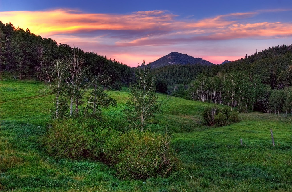
Old Flowers Road Sunset Vibrance

Jewels of the Glen

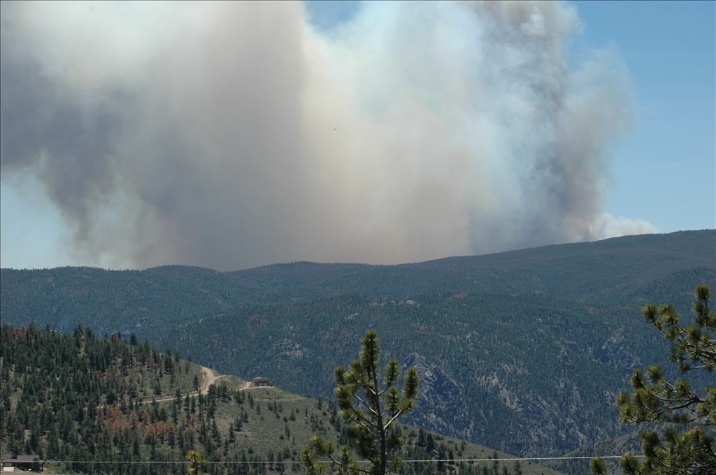
High Park Wildfire

Aspen Leaf
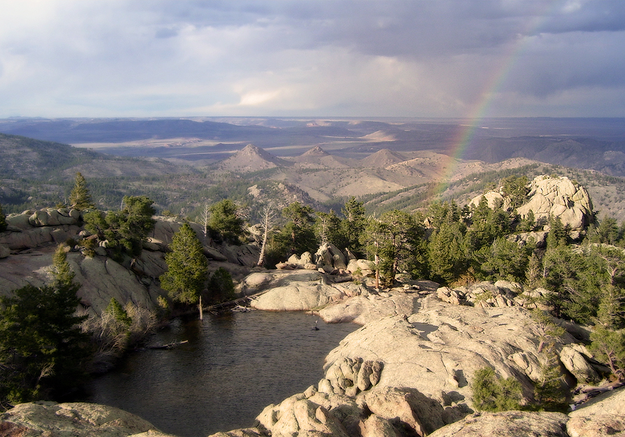
View from Mt Bierstadt
My Reward
See More, Go To Flickr & Search "DrShawnboy" - People
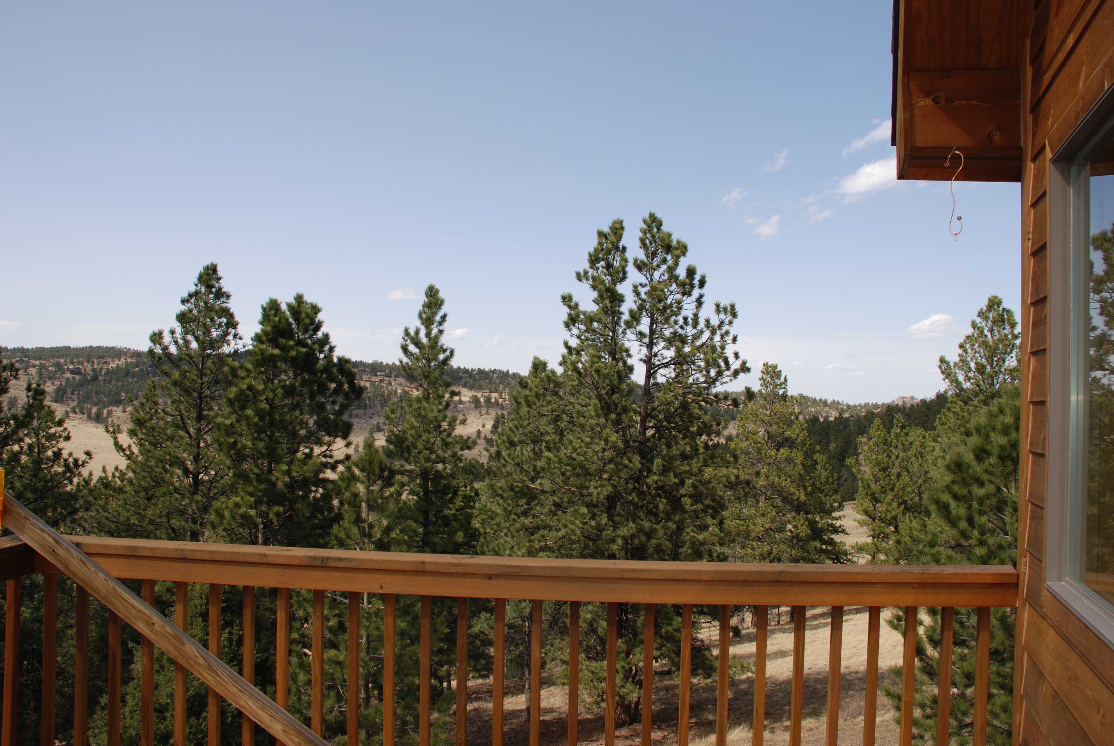
Gorgeous, unobstructed views
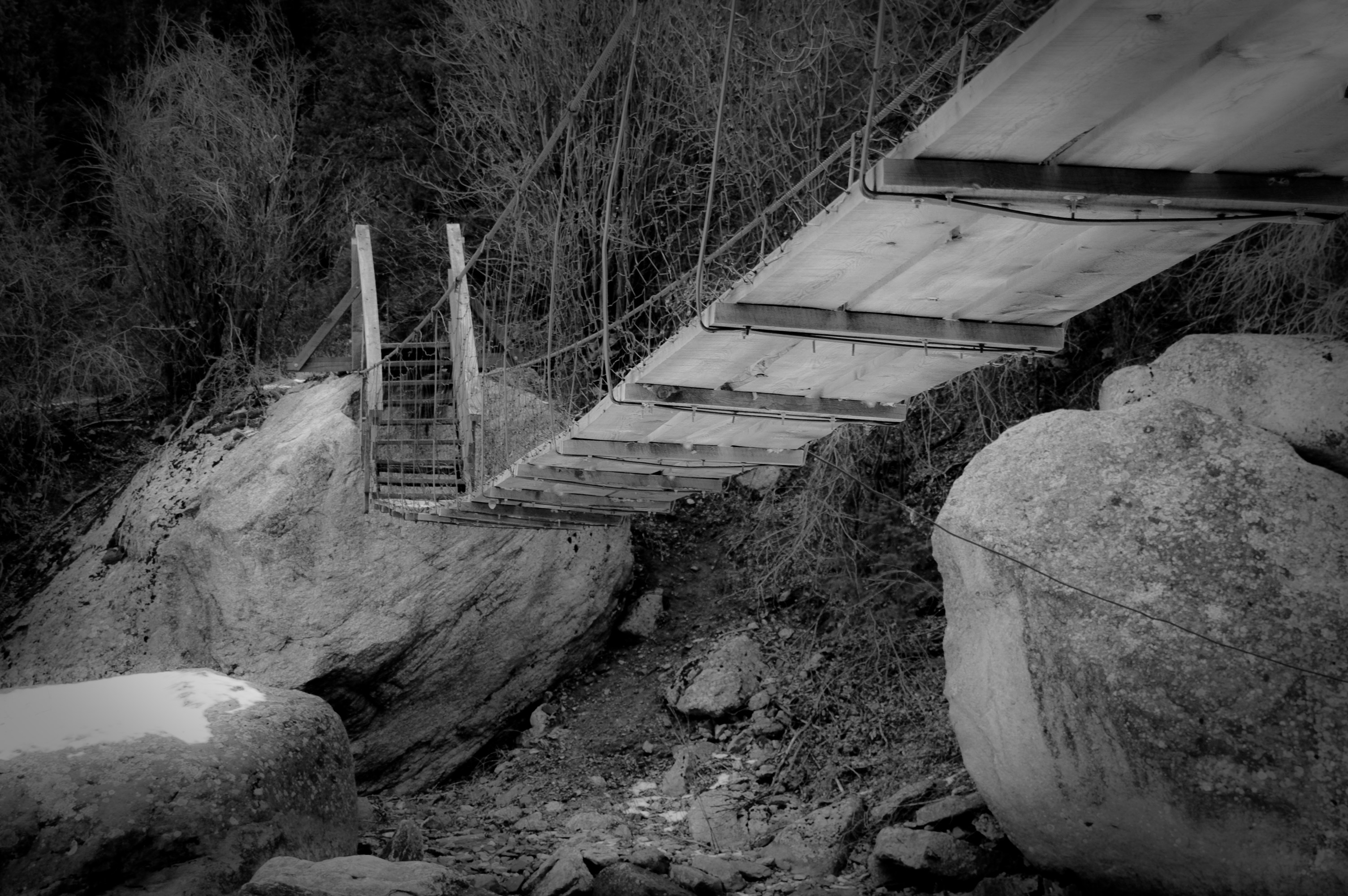
Walking Bridge
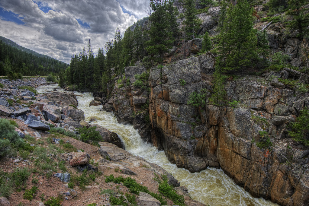
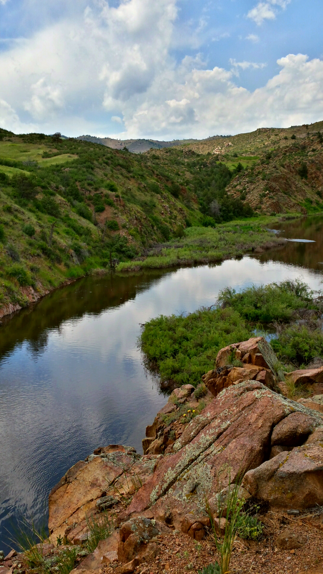
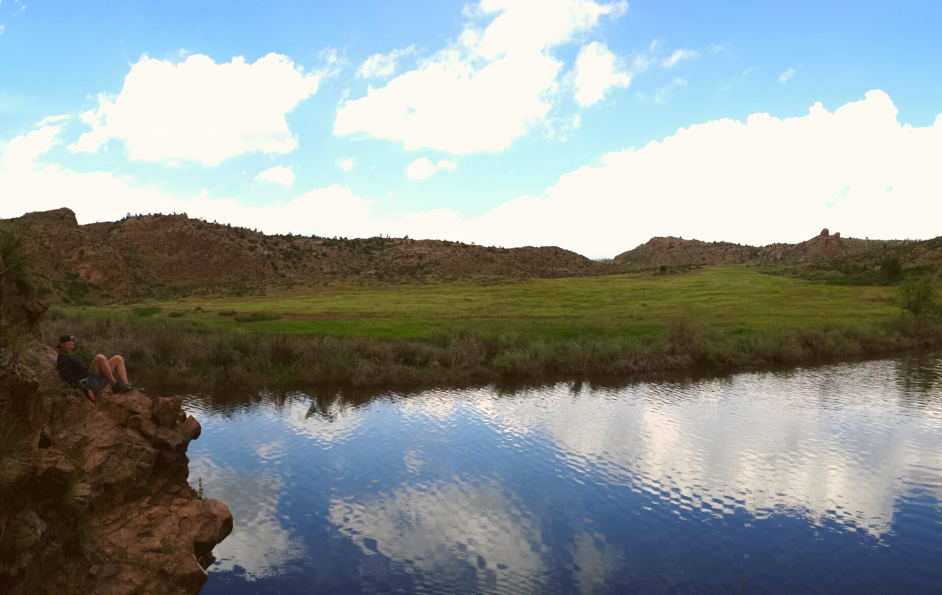
Poudre River
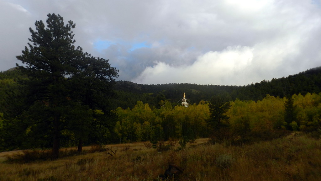
The Great Stupa of Dharmakaya, Which Liberates Upon Seeing -- Red Feather Lake, CO
Off-roading 6-23-14
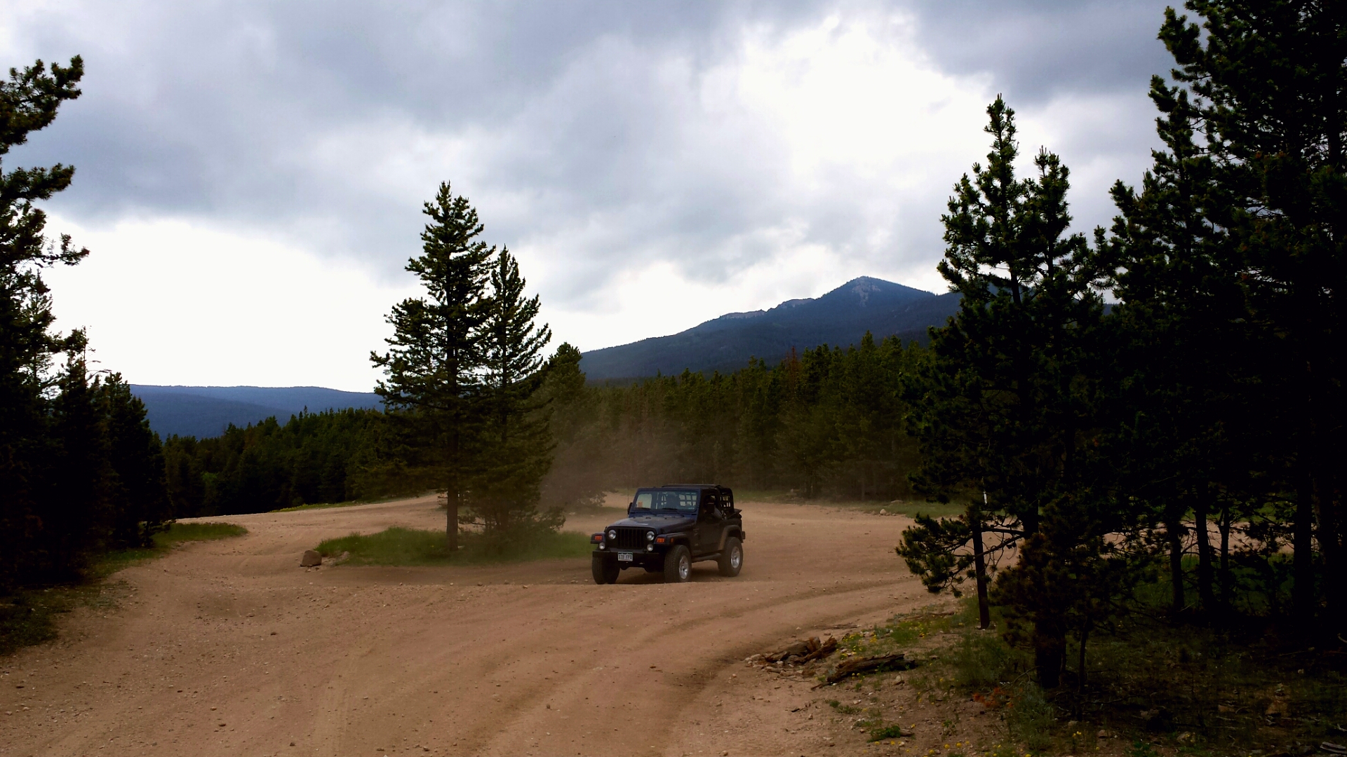
Off-roading 6-23-14
Off-roading 6-23-14

Off-roading 6-23-14
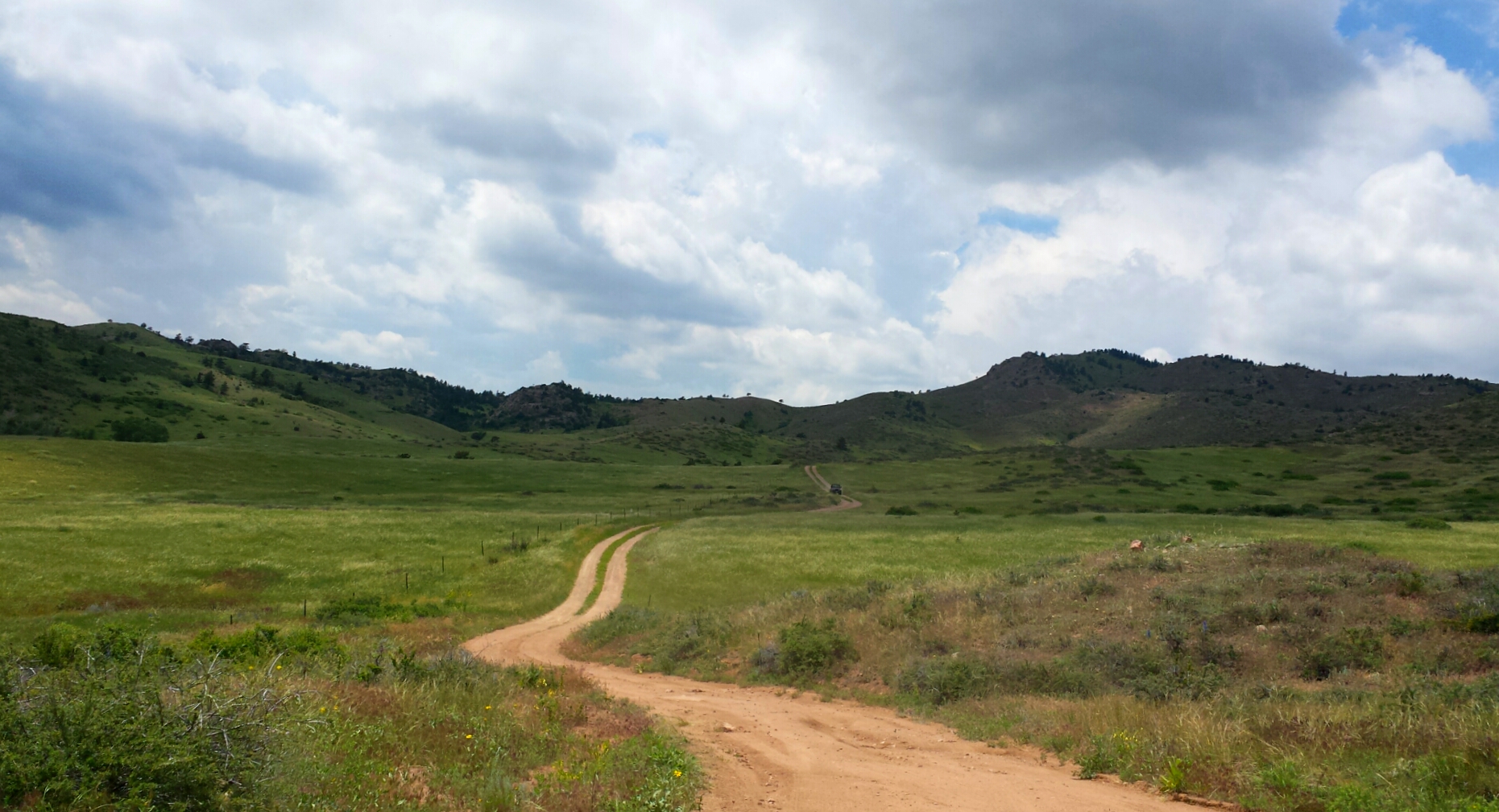
Off-roading 6-23-14

Last momths trip to #ShambalaMountainCenter
Mount Margaret Trail 10/3
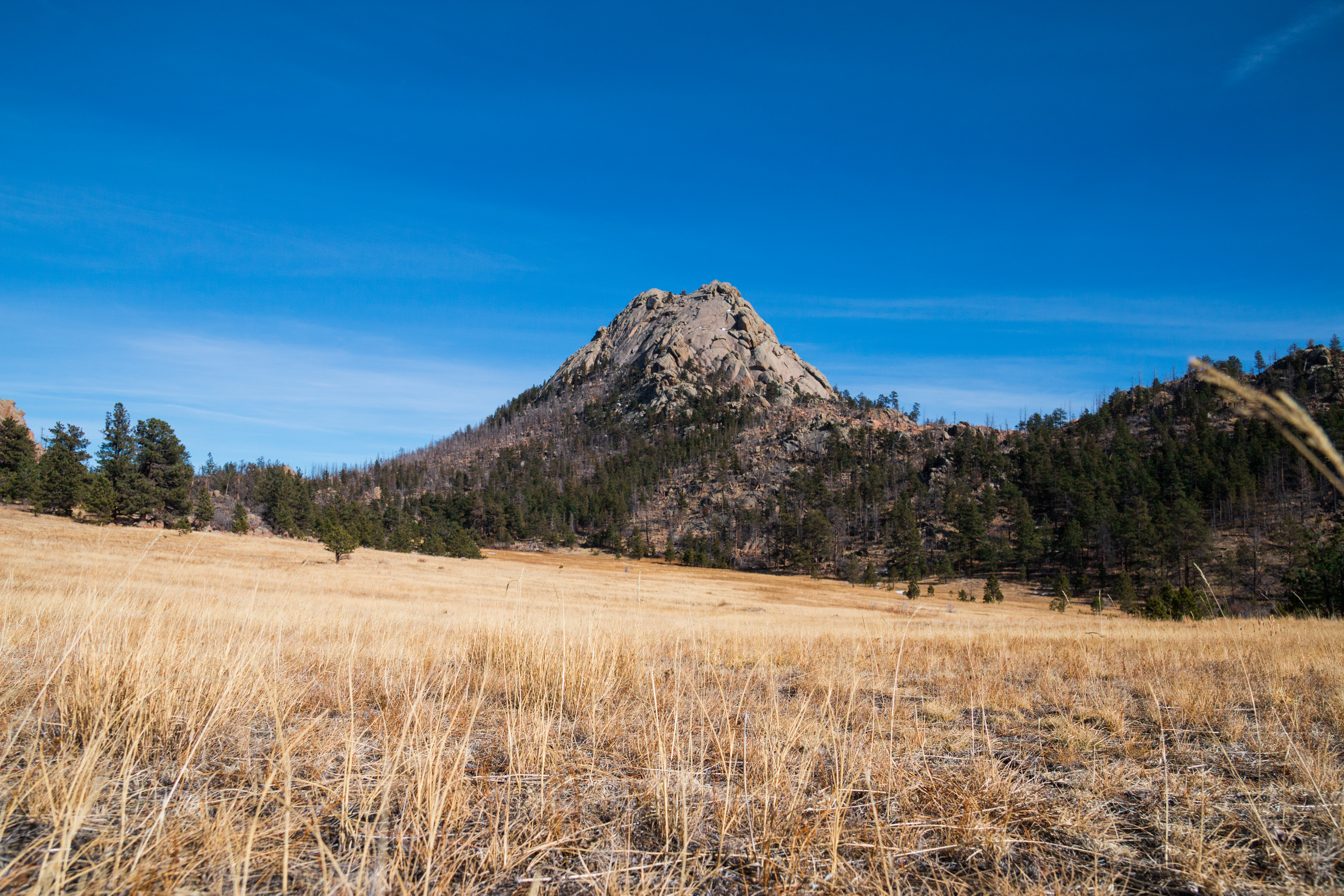
Grey Rock
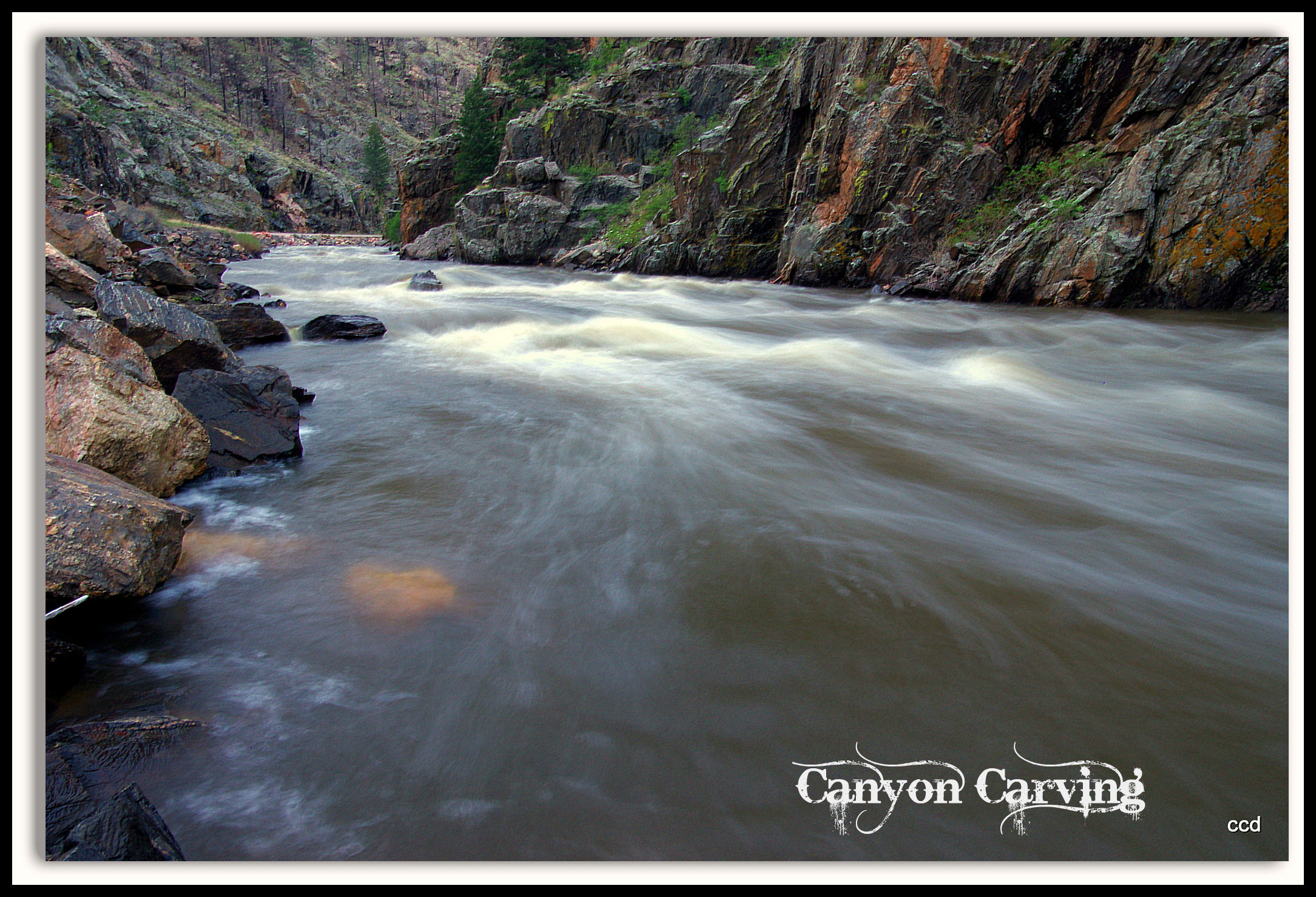
Poudre Lower Narrows
A Poudre Canyon Passage

Crazy tunnel
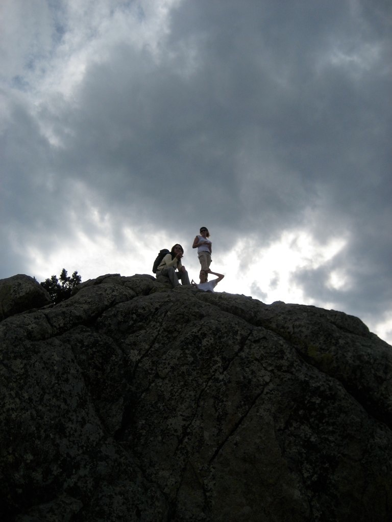
Mountains and Clouds
All up
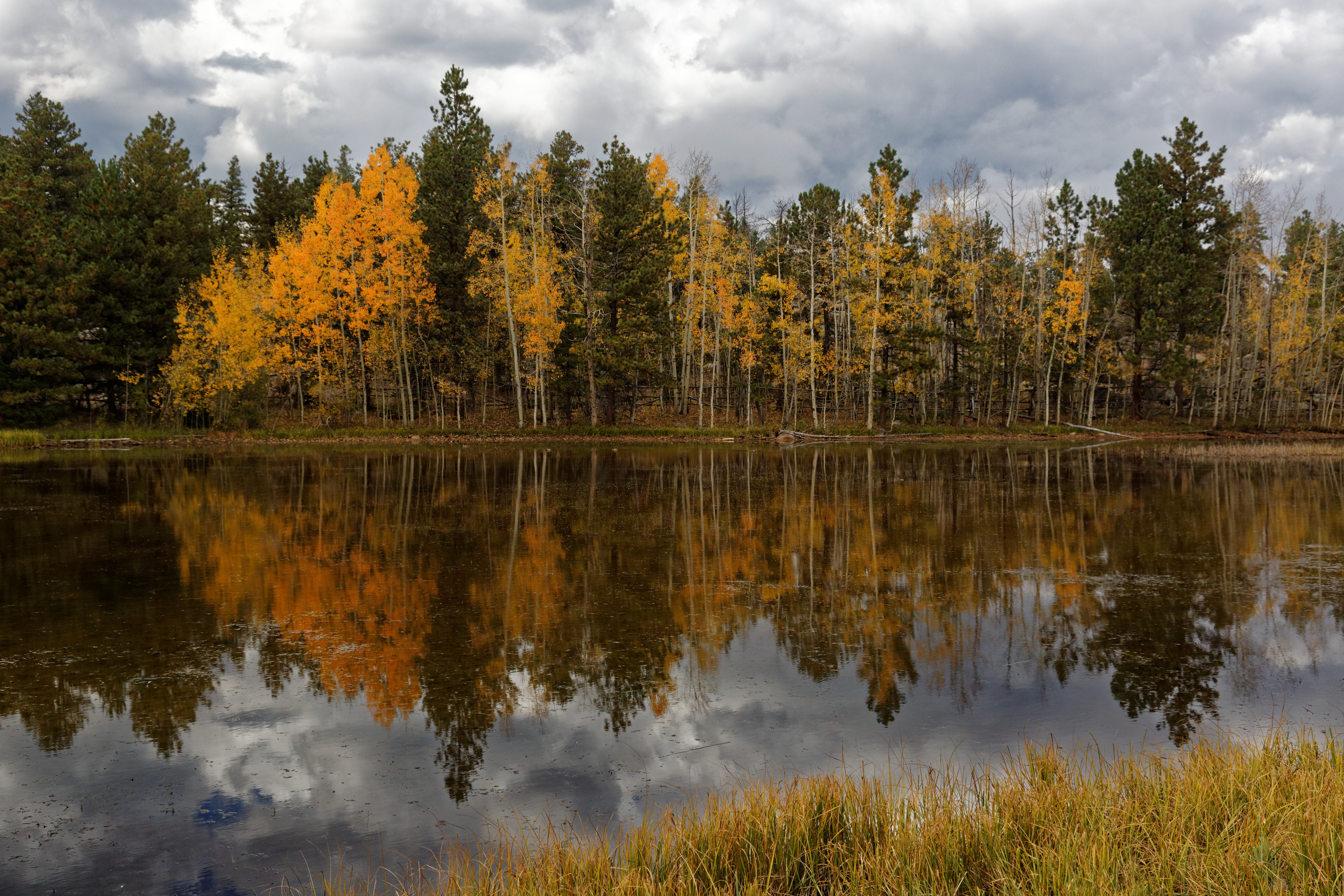
Aspen magic
03-10-2007-112634-0001-device-2000-wm

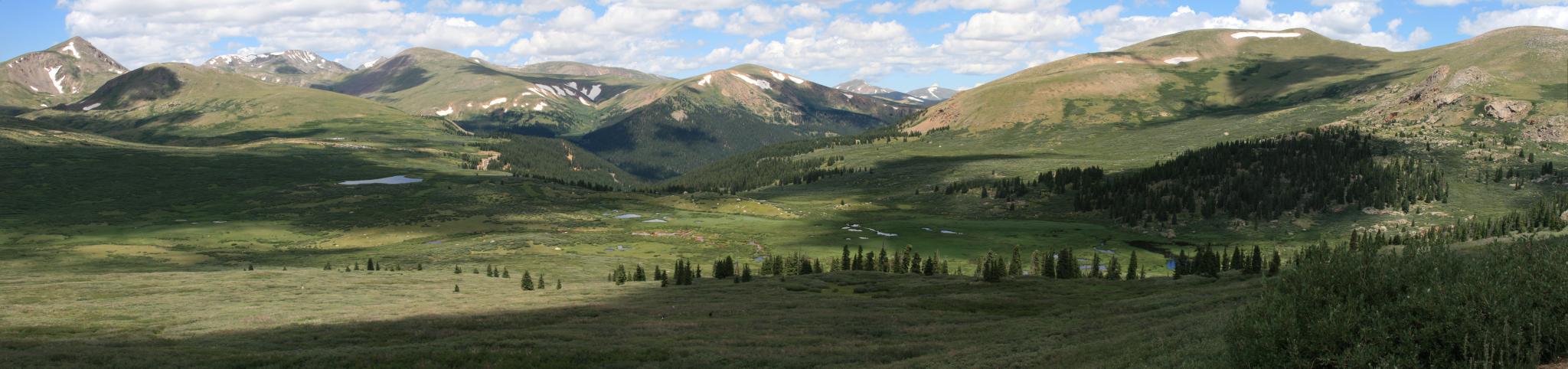
Colorado Rocky Mountains
Grey Rock Mountain
Topographic Map of Green Mountain Dr, Livermore, CO, USA
Find elevation by address:

Places near Green Mountain Dr, Livermore, CO, USA:
1001 Bald Mountain Dr
120 Mountain Lion Track Ct
3076 Green Mountain Dr
1146 Bald Mountain Dr
10 Manhead Mountain Dr
96 Humboldt Dr
Glacier View Meadows
3404 Green Mountain Dr
460 Maroon Bells Cir
1305 Green Mountain Dr
171 Wetterhorn Ct
57 Snowmass Dr
1938 Green Mountain Dr
722 Mt Massive Dr
315 Cucharas Mountain Dr
367 Cucharas Mountain Dr
27 Mount Axtell Dr
136 Park View Peak Dr
70 Park View Peak Dr
783 Chimney Rock Dr
Recent Searches:
- Elevation of Placer Mine Ln, West Jordan, UT, USA
- Elevation of E 63rd St, New York, NY, USA
- Elevation of Elk City, OK, USA
- Elevation of Erika Dr, Windsor, CA, USA
- Elevation of Village Ln, Finleyville, PA, USA
- Elevation of 24 Oakland Rd #, Scotland, ON N0E 1R0, Canada
- Elevation of Deep Gap Farm Rd E, Mill Spring, NC, USA
- Elevation of Dog Leg Dr, Minden, NV, USA
- Elevation of Dog Leg Dr, Minden, NV, USA
- Elevation of Kambingan Sa Pansol Atbp., Purok 7 Pansol, Candaba, Pampanga, Philippines