Elevation of Gray Fox Road, Gray Fox Rd, Rosman, NC, USA

Location: United States > North Carolina > Transylvania County > Catheys Creek > Rosman >

Longitude: -82.832711

Latitude: 35.1387791

Elevation: -10000m / -32808feet

Barometric Pressure: 295KPa

Elevation Map:

elevation map of Gray Fox Road, Gray Fox Rd, Rosman, NC, USA

Satellite Map:

Satellite map of Gray Fox Road, Gray Fox Rd, Rosman, NC, USA

Related Photos:

motion waterfall nc northcarolina waterfalls appalachian appalachia blueridgemountains blueridgeparkway mountainstream westernnc
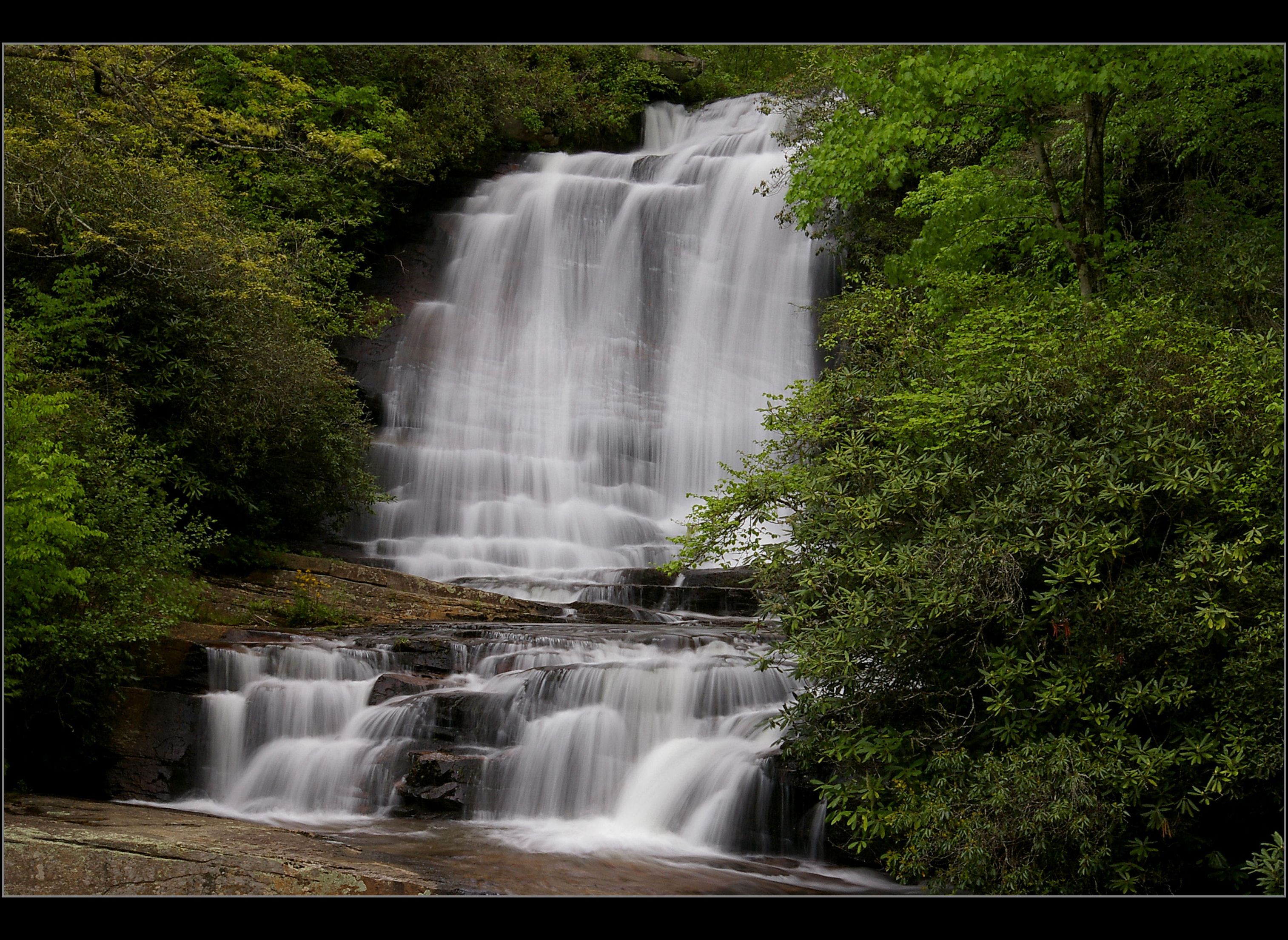
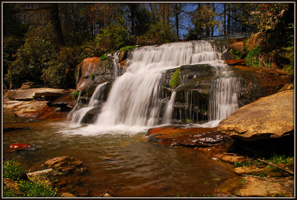
North Carolina Blue Ridge Waterfall - Stillness and Movement
pentaxk100d
Main View of Connestee Falls
blinkagain bestofblinkwinners blinksuperstars bestofsuperstars
Lower Eastatoe Falls View 2
lakejocassee jocassee lake landscape wnc mountains blueridgemountains nc southcarolina outdoors nature foliage fall autumn fallfoliage northcarolina appalachia appalachians sunset scenic daveallen d700 carolina blueridge nikon photography leafchange westernnorthcarolina upstatesc sc evening fineart wideangle adventure travel sun sunrise seasons nikond700 foothills mygearandmediamond dramatic natural autumnleaves vibrant colorful
Blue Ridge Mountains Sunset - Lake Jocassee Gold
2jtrip2009 birdrockfalls carolinas cothronphotography johncothron nc northcarolina transylvaniacounty nature outdoor water waterfall
Birdrock Falls
river waterfall nc northcarolina frenchbroadriver nikkor1685vr frenchbroadfalls nd8xfilter gitzotripodwithmarkinshead livingwatersministriesproperty
French Broad Falls - Explore #316
Welcome back Charlie!
Sassafras Mountain, SC
sc water waterfall twinfalls pickens
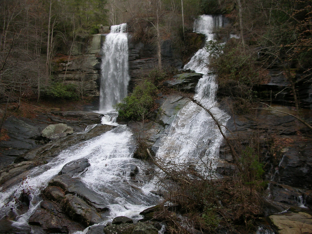
Twin Falls 10-24-2014 32 - Waterfall
tablerock tablerockmountain tablerockstatepark pickens greenville southcarolina sc blueridgemountains tablerockreservoir sunset shadows clouds table rock state park statepark county south carolina blueridge mountains mountain observation scenic view nikond7000 nikon70200mmf28g kenko14x piedmont cleveland eclipse totaleclipse greatamericantotaleclipse phases sun moon totality corona
The Great American Total Solar Eclipse 2017 - Eclipse Phases Composite
geo:lat=3527199443 geo:lon=8280852222 geotagged laurelfalls northcarolina pisgahforest unitedstates usa airterjun brevard buttergaptrail cascada cascade creek fallingwater green grogancreek grogancreekfalls grogancreekwaterfall landscape march2016 mist moss motion nature outdoor pisgahnationalforest pisgahrangerdistrict rhododendron rock rosebayrhododendron serene spring2016 transylvaniacounty transylvaniacountynorthcarolina trees vattenfall wasserfall water waterblur watermist watercourse waterfall waterfallongrogancreek waterval водопад شلال झरना น้ำตก 폭포 瀑布 cascades splash waterdefinition waterpath waterfallofnorthcarolina westernnorthcarolina westernnorthcarolinawaterfall wnc nikon d800 nikond800 nikonflickraward bestshotoftheday flickraward twop
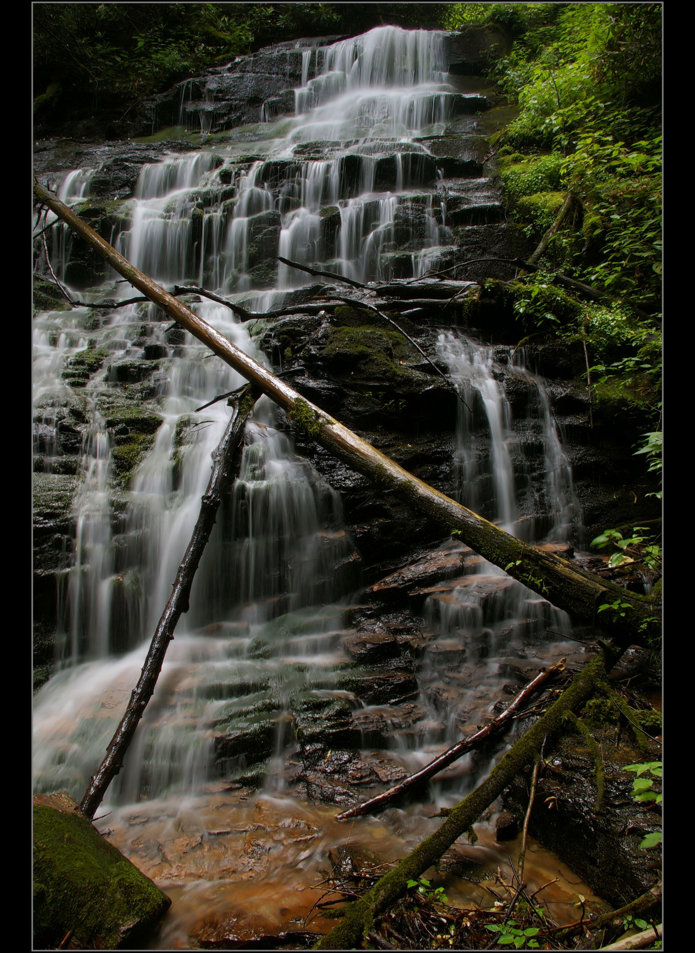
Waterfall on Grogan Creek (Pisgah National Forest)
mountain art pilot pisgah loeb
Pilot Mountain
mountain art pilot pisgah loeb
Pilot Mountain
twinfalls estatoe pickens south carolina waterfall geo:lat=35013882 geo:lon=82818889 geotagged flickrart portfolio
Twin Falls Full 2 Houston
longexposure blackandwhite bw sc closeup blackwhite waterfall rocks southcarolina twinfalls naturephotography pickenscounty reedycovecreek reedycove
Twin Falls Close-up
autumn mountain fall sc hiking southcarolina foliage trail greenville tablerockstatepark
Table Rock summit
sc water waterfall twinfalls pickens
Twin Falls 10-24-2014 31 - Waterfall
sc water waterfall twinfalls pickens
Twin Falls 10-24-2014 21 - Waterfall
nature water landscape waterfall unitedstates january northcarolina falls 2015 laketoxaway toxawayfalls toxawayriver
Toxaway Falls
pickenscounty southcarolina tablerockmountain unitedstates
View of S.C. 11
governorsrock pickenscounty southcarolina tablerockmountain unitedstates
Governor's Rock view - 3
waterfall balsamgrove
Cascade on the North Branch French Broad River
waterfall balsamgrove shoalcreekfalls northbranchofthefrenchbroadriver
Close-up of the Confluence of the North Branch of the French Broad River and Shoal Creek Falls in Balsam Grove, NC
waterfall eastatoefalls
Eastatoe Falls
waterfall eastatoefalls
Eastatoe Falls
waterfalls rocks stream creek trees pines logs moss carolina ncmountainman nikon d70s phixe blueridgeparkway yabbadabbadoo water river lowresolutionversion
Water and Moss
autumn mountain fall river nc stream northcarolina fallfoliage foliage blueridgeparkway appalachians
NC Mountain River in Autumn - The Living Waters
mountains green sc water rock landscape outdoors waterfall southcarolina upstate lush cascade nationalgeographic upcountry jocassee pickenscounty forested foothillstrail southcarolinadepartmentofnaturalresources jocasseegorges laurelforkcreek virginiahawkinsfalls laurelforkheritagepreserve jimtimmermanwildliferesourcesarea 50lastgreatplaces destinationofalifetime undisturbedarea
Virginia Hawkins Falls - Jocassee Gorges
Eastatoe Falls in the Rain
photography waterfall nc northcarolina frenchbroadriver gitzotripod millshoalsfalls transylvaniacountync nikkor1685vr livingwatersministries
Mill Shoals Falls
longexposure bw motion blur water beautiful creek river waterfall amazing cool rocks stream northcarolina motionblur waterblur splash watersplash wnc middlefork westernnorthcarolina rosman eastatoefalls nikonflickraward
Eastatoe Falls, Rosman, North Carolina
pentaxk100d
At the Bottom, Eastatoe Falls, NC
Nov 2018
Nov 2018
french falls broad
French Broad Falls
usa nature water creek river landscape waterfall nc stream unitedstates outdoor northcarolina waterfalls fernwood pisgahforest wnc westernnorthcarolina geo:lat=3522683758 geo:lon=8269541144 glenncannonfallspisgahforestnorthcarolina glenncannonfalls
Glenn Cannon Falls (Pisgah Forest, North Carolina)
pentaxk100d
Claypole Falls, NC
pentaxk100d
Claypole Falls