Elevation of Galloway Road, Galloway Rd, Rosman, NC, USA
Location: United States > North Carolina > Transylvania County > Catheys Creek > Rosman >
Longitude: -82.815784
Latitude: 35.1428521
Elevation: 673m / 2208feet
Barometric Pressure: 93KPa
Elevation Map:
Satellite Map:
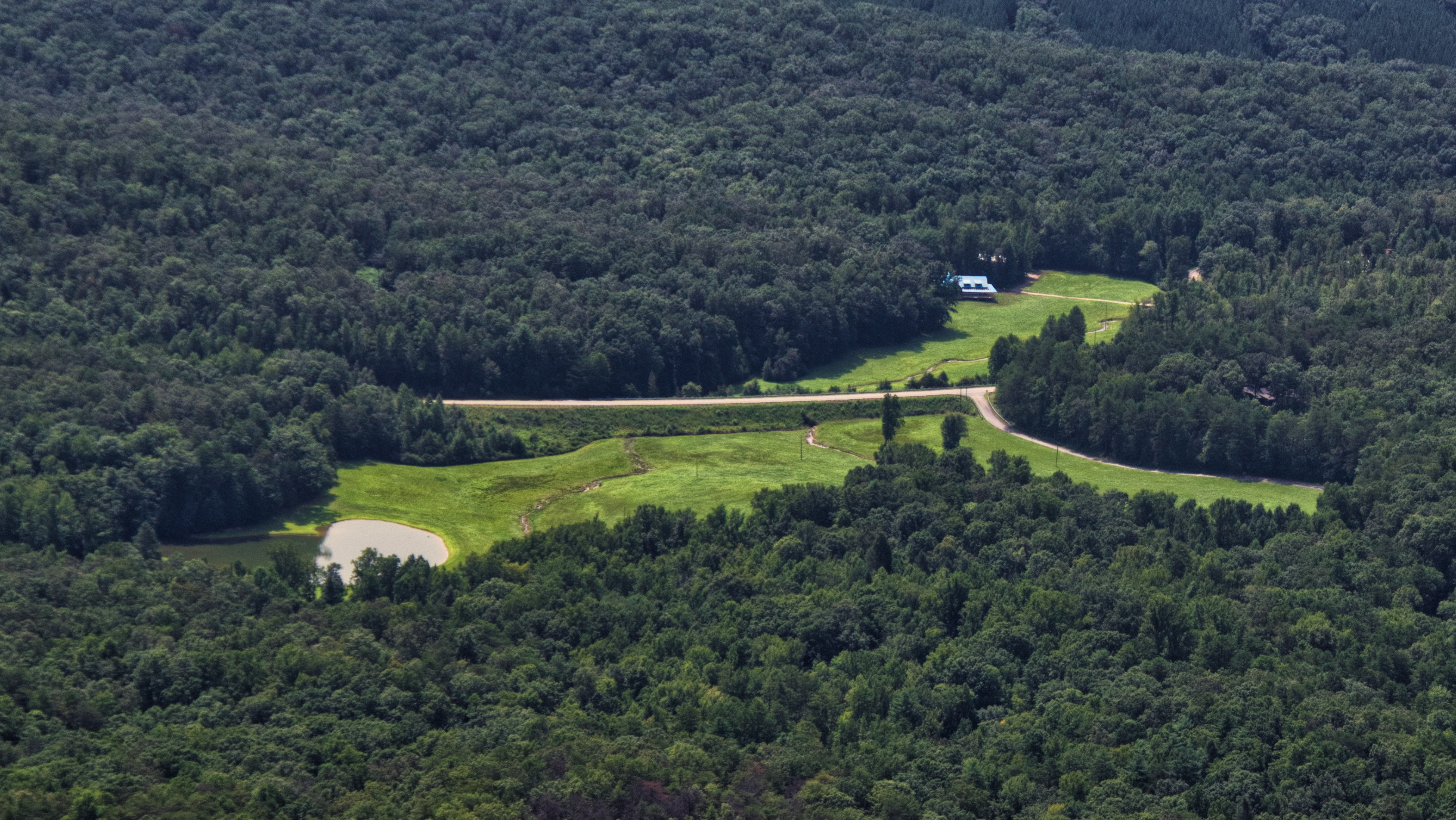
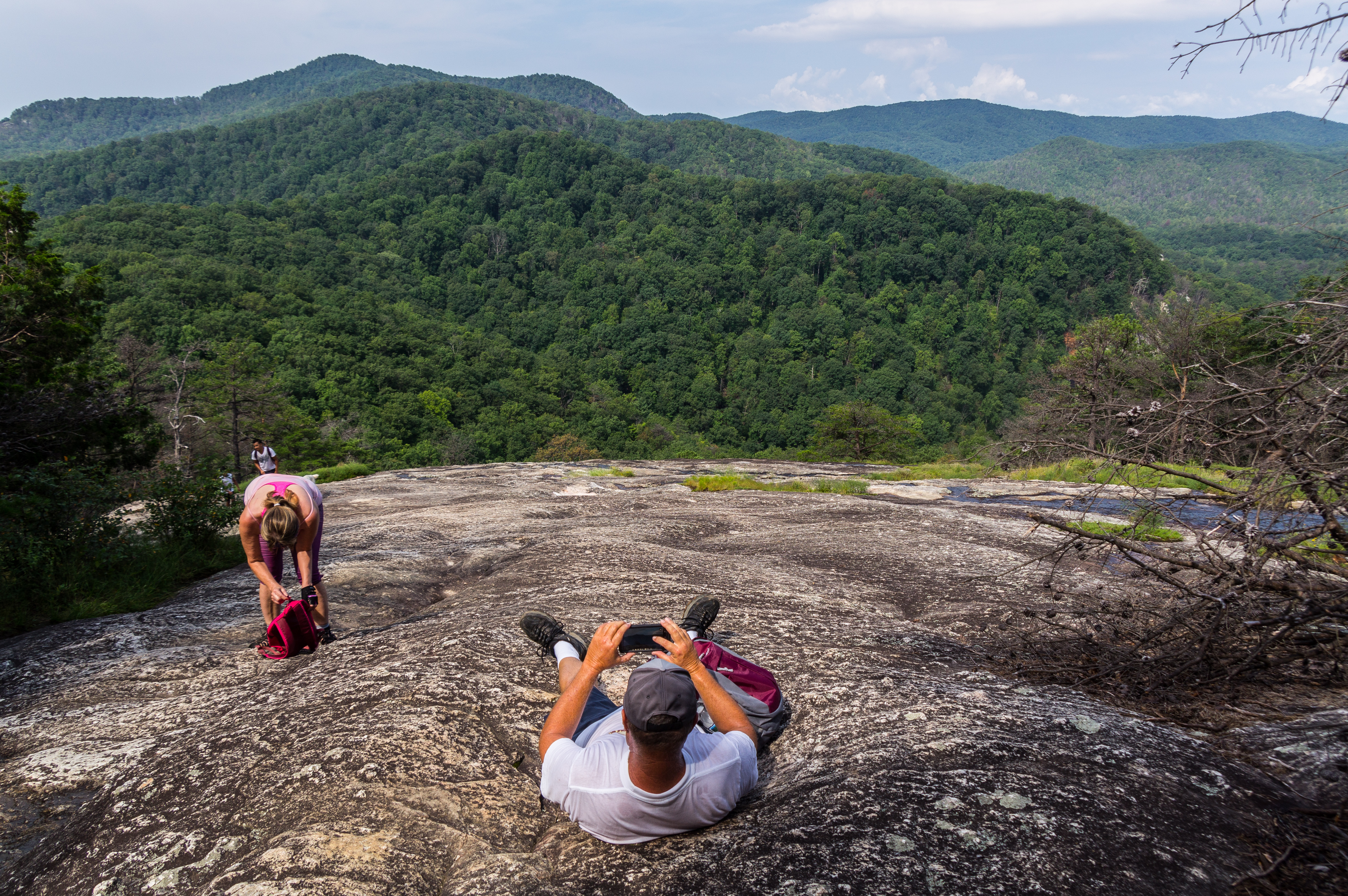
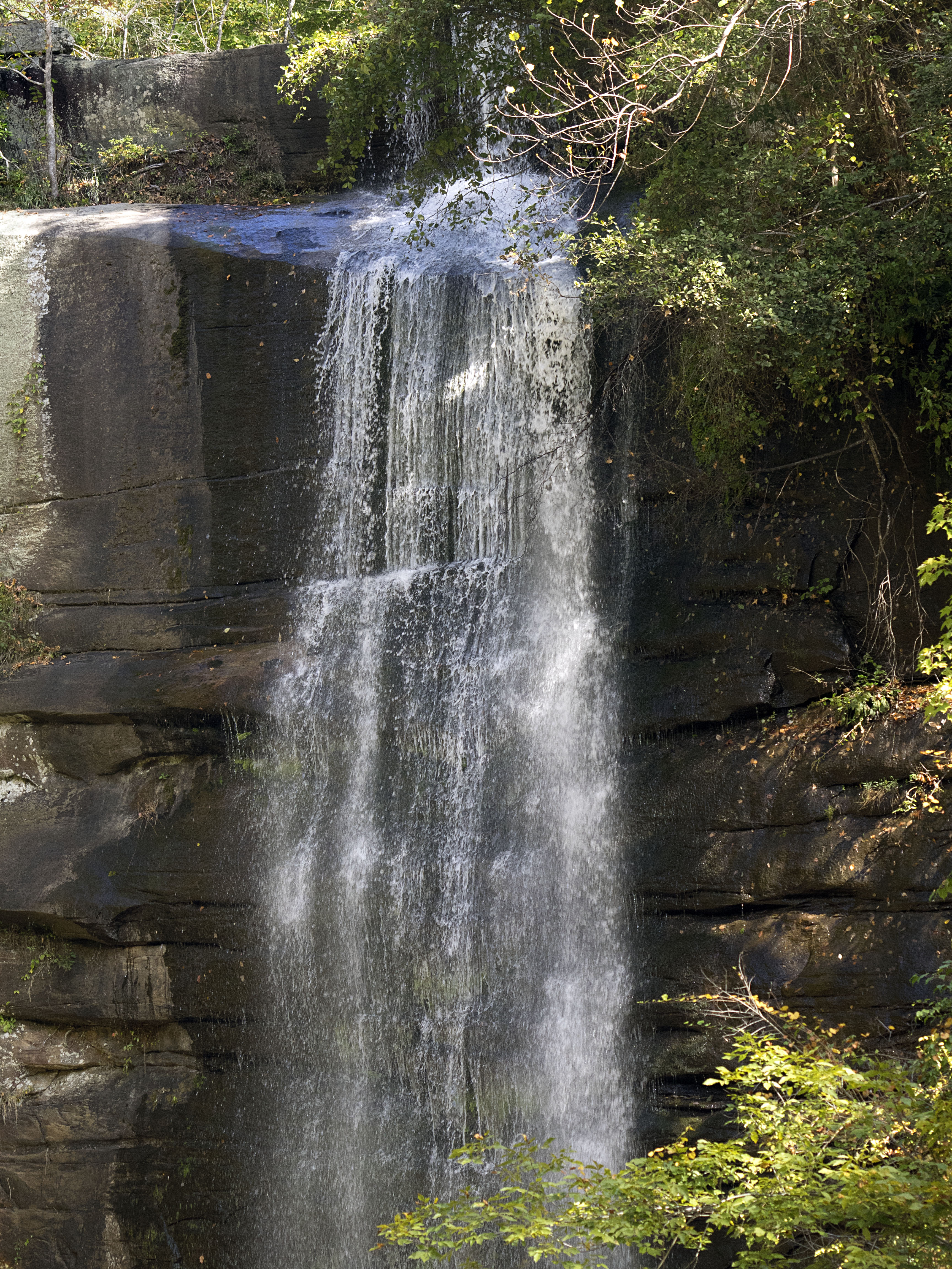
Related Photos:

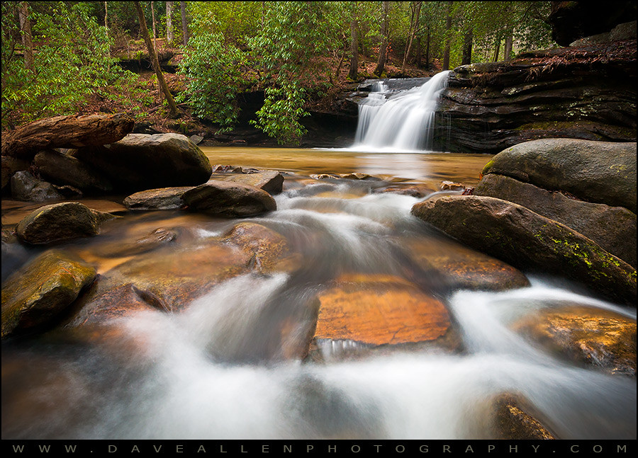
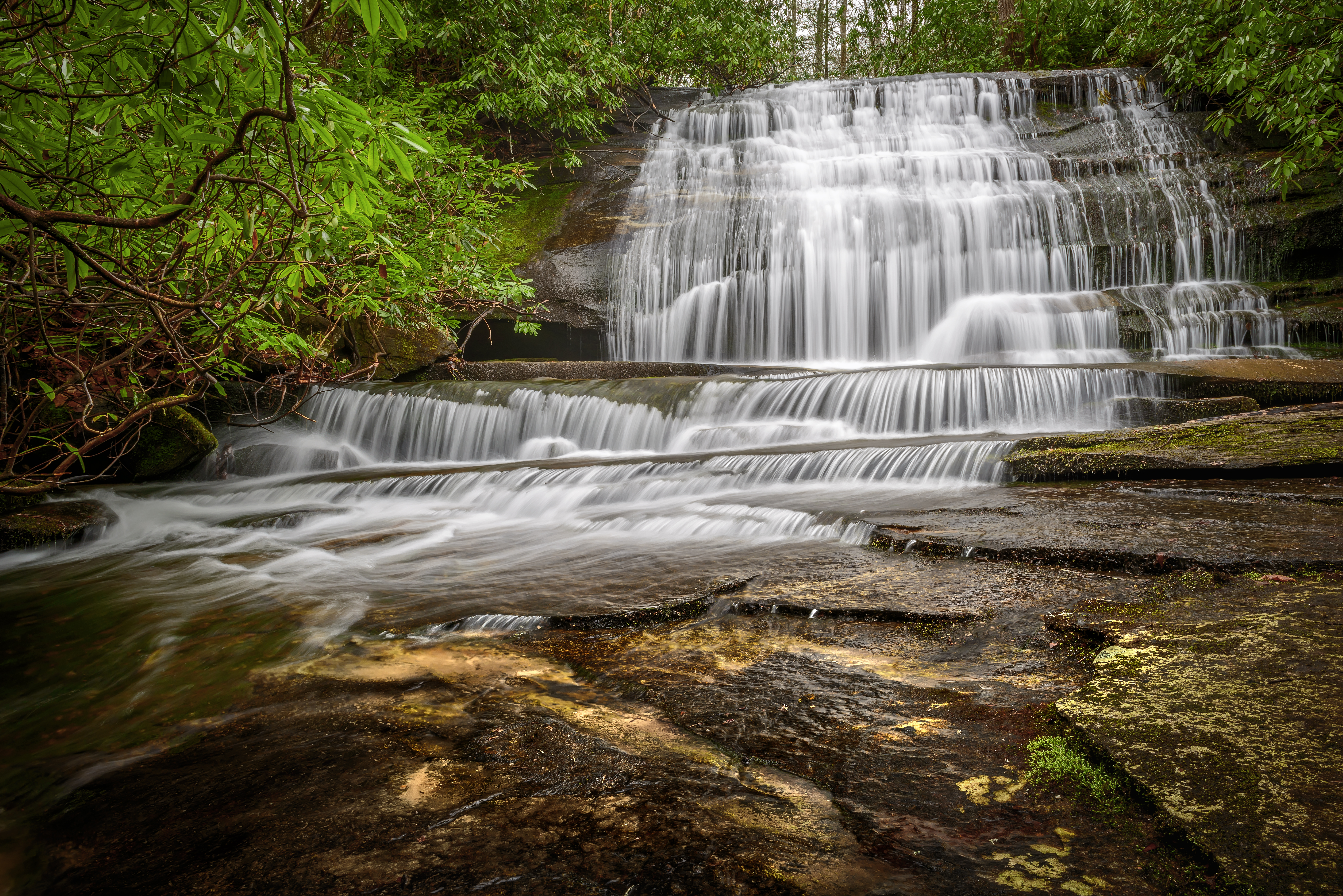
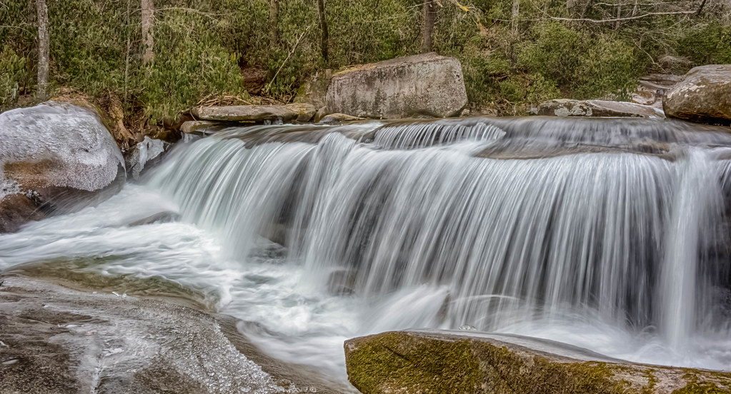
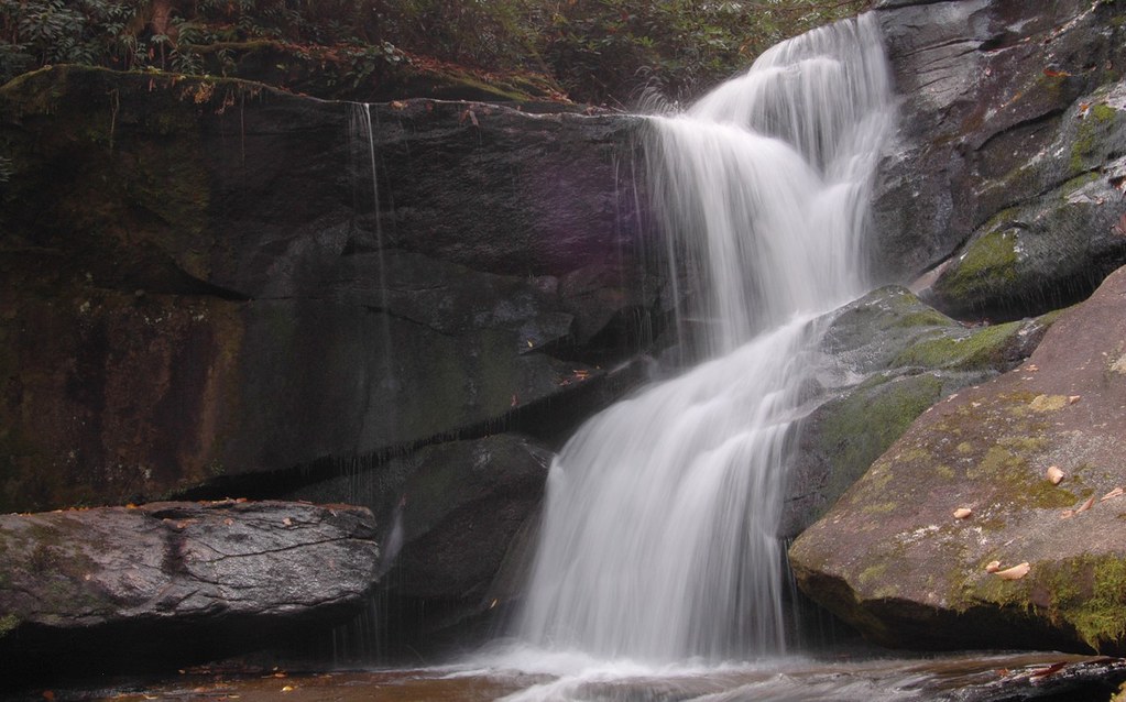
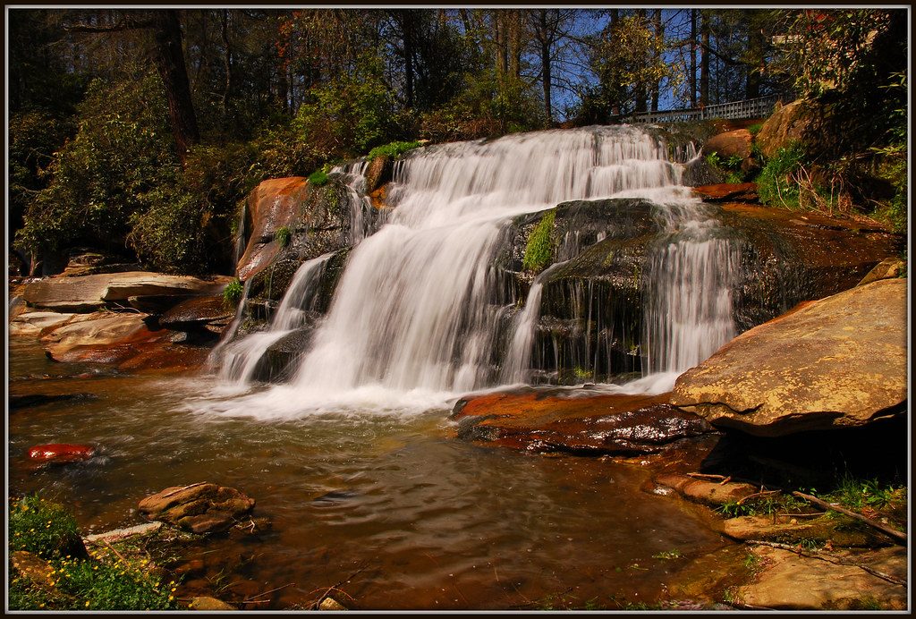
North Carolina Blue Ridge Waterfall - Stillness and Movement
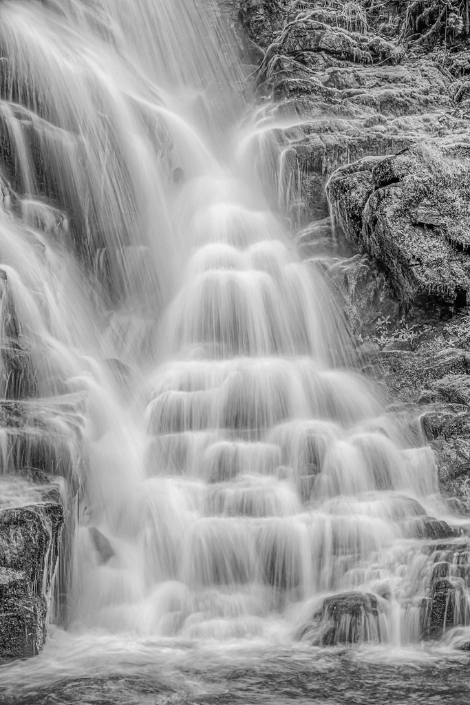
Upstate SC Watertfall Photography - Flow
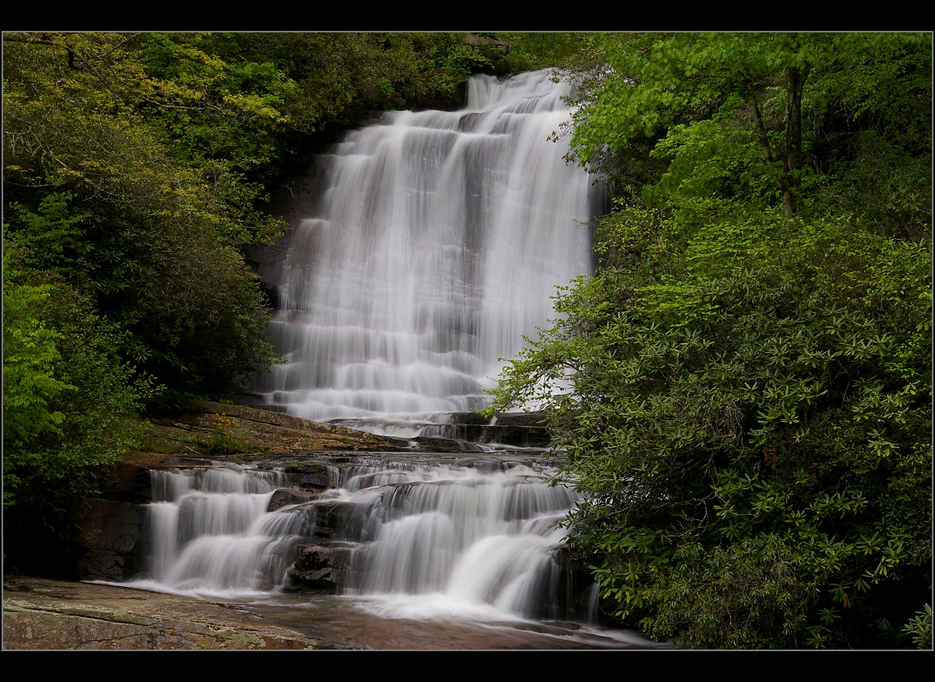
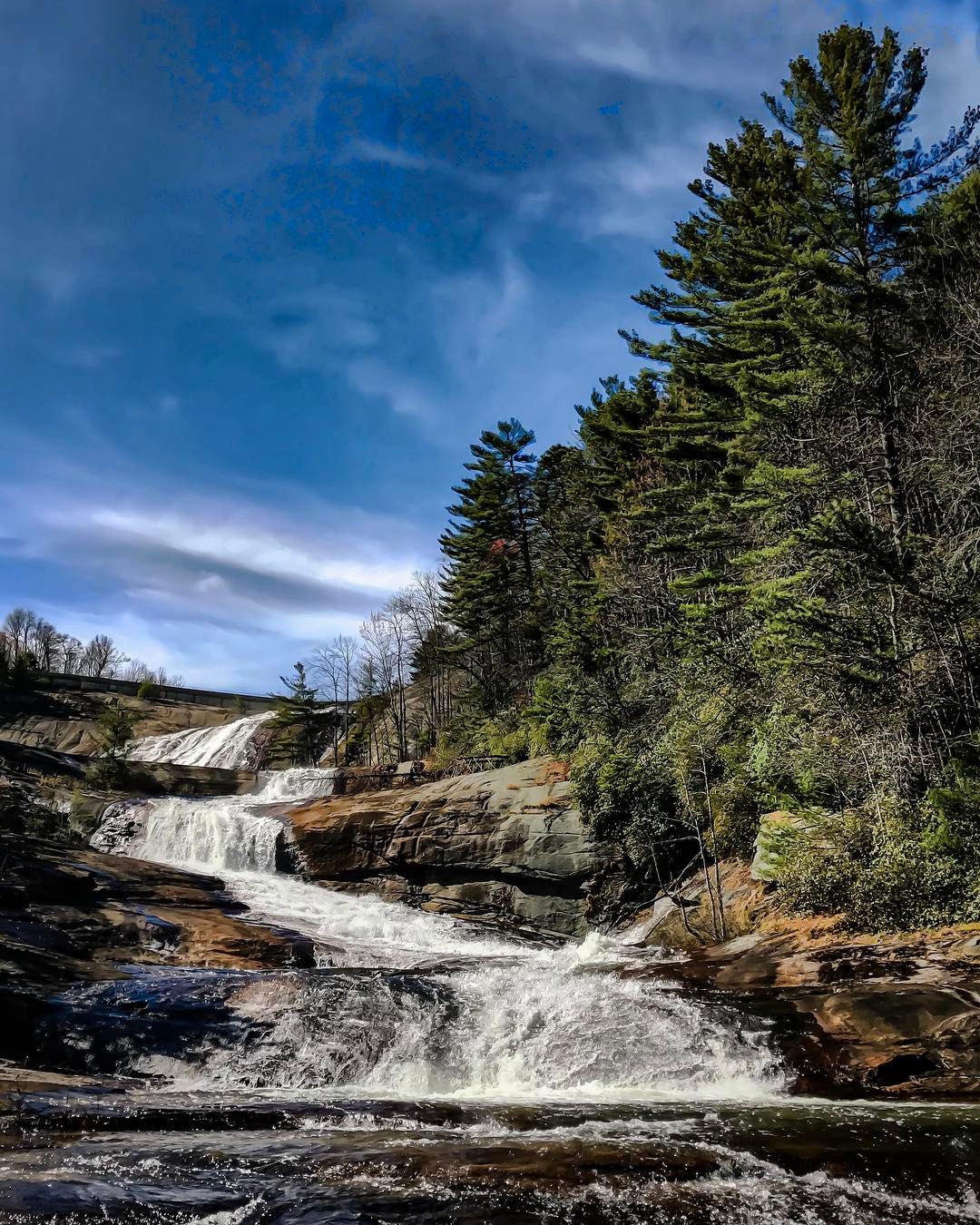
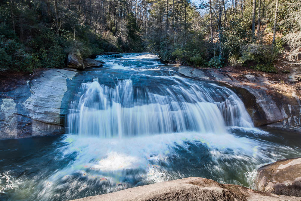
Main View of Connestee Falls

Birdrock Falls
Carrick Creek Falls

Welcome back Charlie!
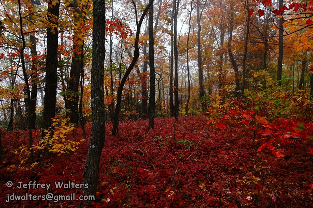
Table Rock summit
View of S.C. 11
Governor's Rock view - 3

I never tire of seeing scenic views while backpacking. This was shot while hiking the Foothills Trail. #foothillstrail #hiking #treking #camping #outdoors #colorful #photo #shotoniphone #blueridgecouncil #BSA #troop519
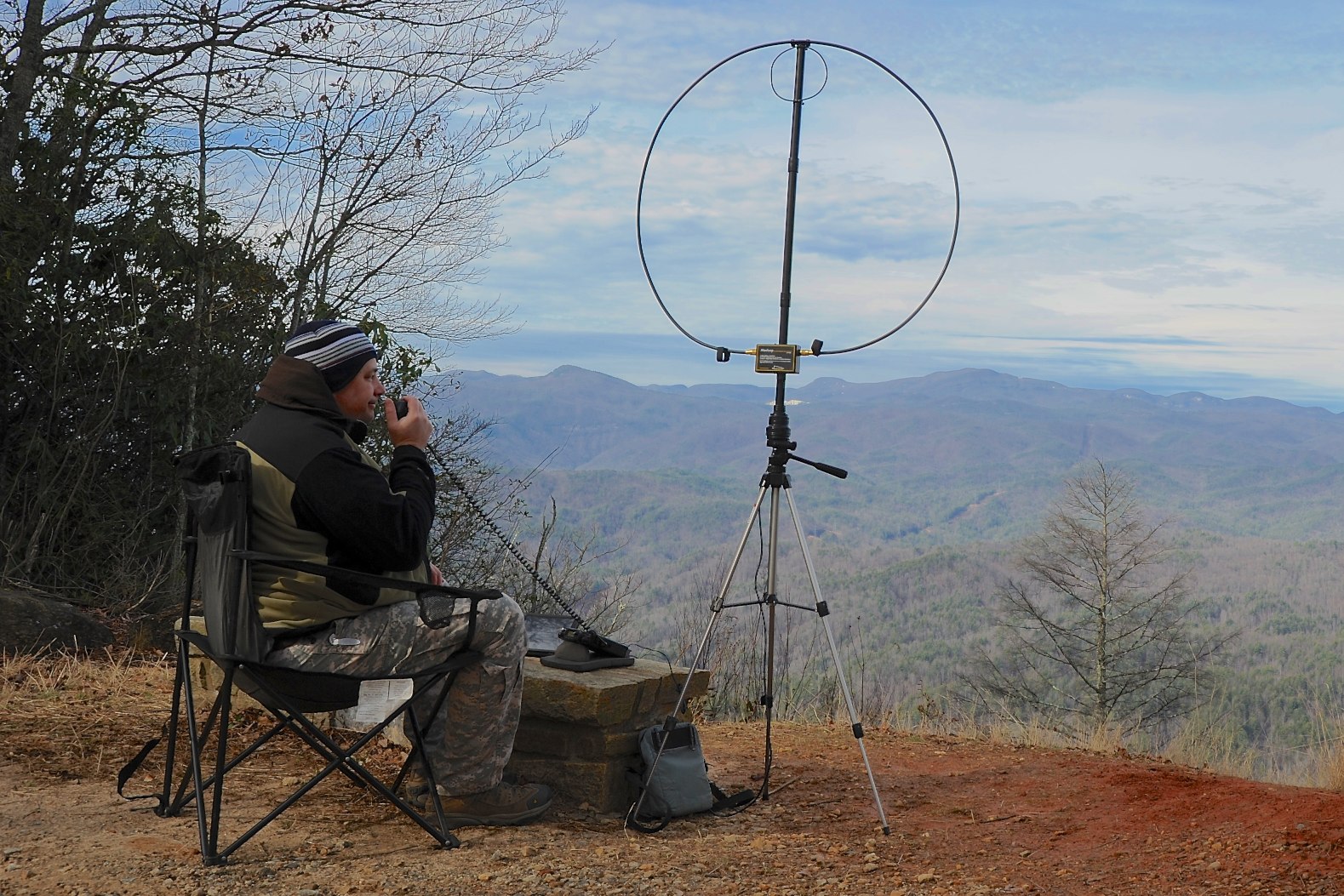
Laurel Fork Mtn QTH
Twin Falls 10-24-2014 32 - Waterfall
Waterfall on Grogan Creek (Pisgah National Forest)

The Great American Total Solar Eclipse 2017 - Eclipse Phases Composite
Pilot Mountain
Operating position with a view on Cedar Rock Mtn

Lower Eastatoe Falls View 2

Twin Falls Close-up

Twin Falls 10-24-2014 31 - Waterfall

Twin Falls 10-24-2014 21 - Waterfall
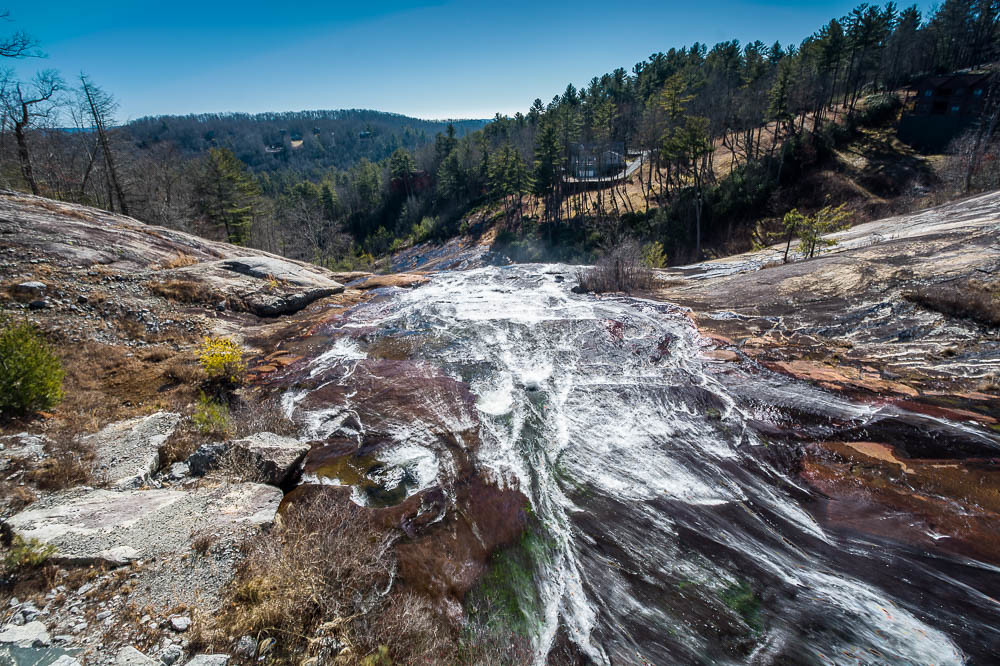
Toxaway Falls

More From Eastatoe Falls

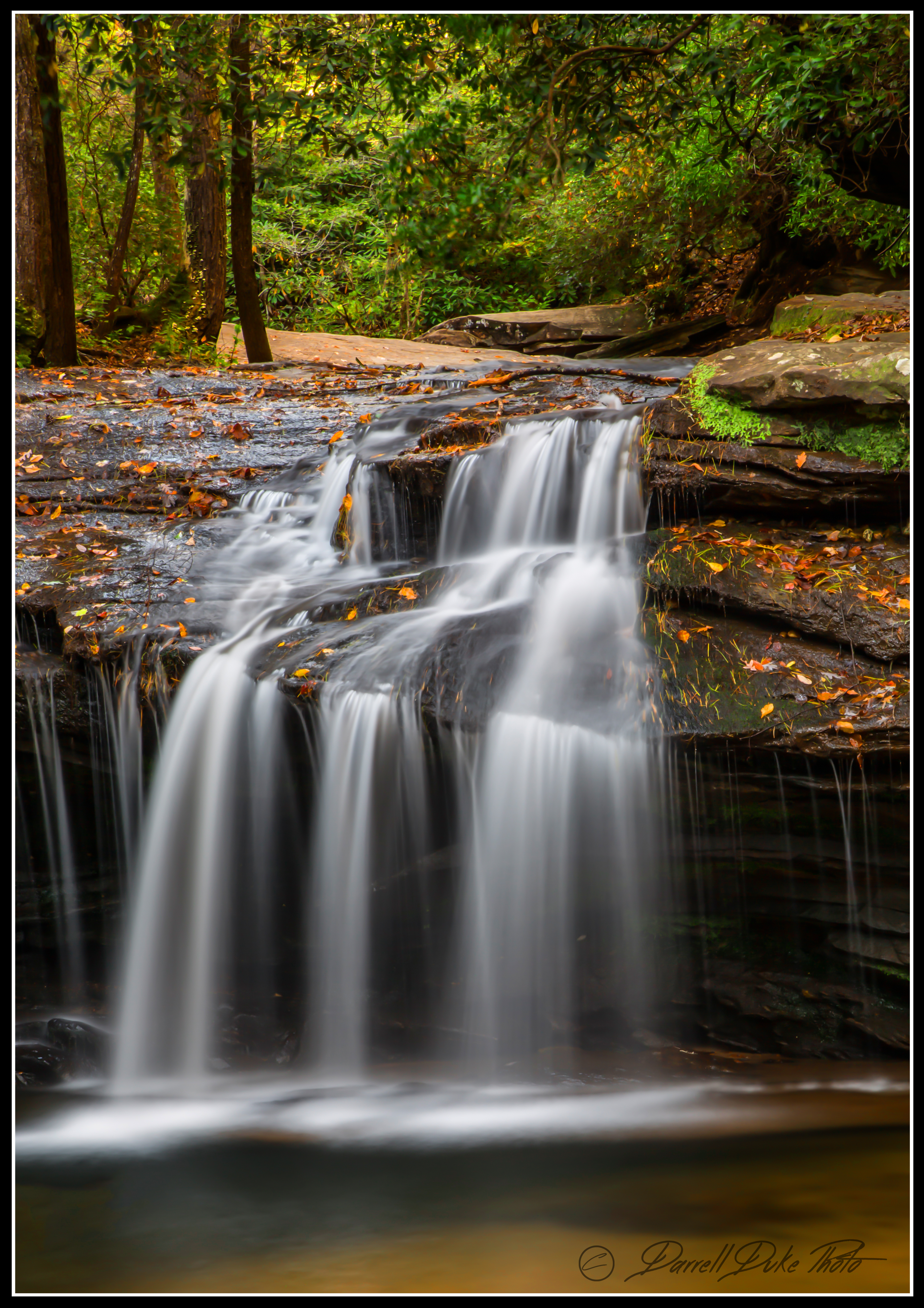
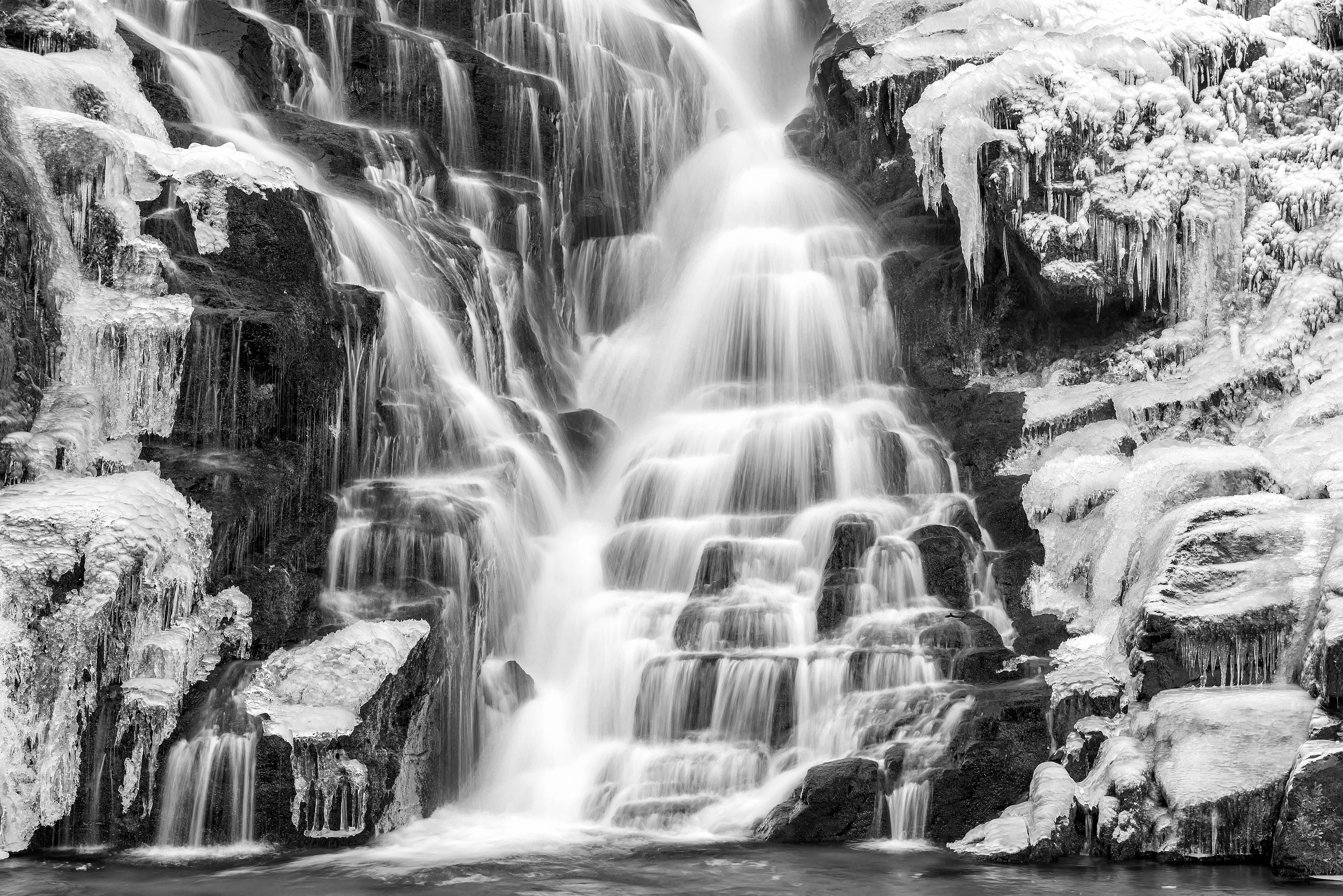
Cold Cascade
Cascade on the North Branch French Broad River
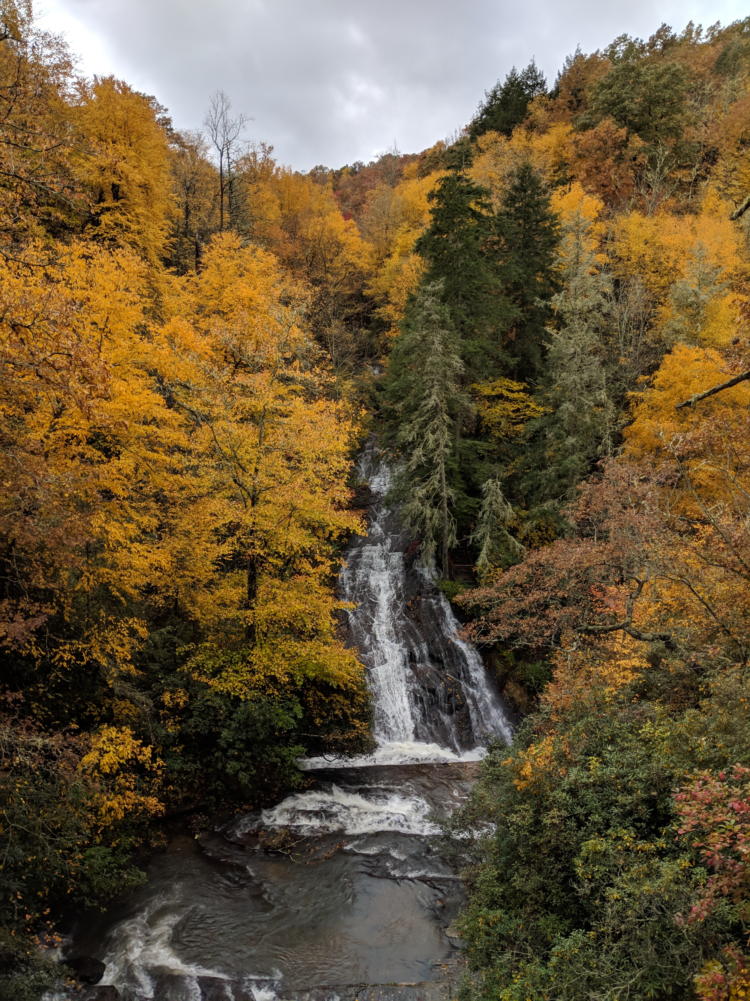
Nov 2018
Close-up of the Confluence of the North Branch of the French Broad River and Shoal Creek Falls in Balsam Grove, NC
Eastatoe Falls
Cedar Rock Creek Falls 1 ~ Explored ~
Eastatoe Falls
Toxaway Falls from the Toxaway River at the beginning of Spring 2017

Water and Moss
Eastatoe Falls, Rosman, North Carolina

Eastatoe Falls in the Rain
Mill Shoals Falls

Nov 2018
Nov 2018
Turtleback Falls
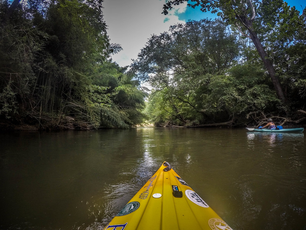
French Broad River - Rosman to Island Ford-139
Topographic Map of Galloway Road, Galloway Rd, Rosman, NC, USA
Find elevation by address:

Places near Galloway Road, Galloway Rd, Rosman, NC, USA:
Rosman
12 Chestnut St #12b
10 Powell Town Rd, Brevard, NC, USA
Gray Fox Road
Gray Fox Road
59 Duncan Ln
362 South Gray Fox Road
21 Lyman Ln
351 Middle Fork Branch Rd
730 Foxfire Ln
Middle Fork Church Rd, Rosman, NC, USA
Rooster Cove
340 Rogers Rd
110 Jaffe Rd
54 Uplands Rd
322 Ben Nevis Rd
295 Ben Nevis Rd
Uplands Road
373 Joshua Rd
30 Burr Ln
Recent Searches:
- Elevation of N, Mt Pleasant, UT, USA
- Elevation of 6 Rue Jules Ferry, Beausoleil, France
- Elevation of Sattva Horizon, 4JC6+G9P, Vinayak Nagar, Kattigenahalli, Bengaluru, Karnataka, India
- Elevation of Great Brook Sports, Gold Star Hwy, Groton, CT, USA
- Elevation of 10 Mountain Laurels Dr, Nashua, NH, USA
- Elevation of 16 Gilboa Ln, Nashua, NH, USA
- Elevation of Laurel Rd, Townsend, TN, USA
- Elevation of 3 Nestling Wood Dr, Long Valley, NJ, USA
- Elevation of Ilungu, Tanzania
- Elevation of Yellow Springs Road, Yellow Springs Rd, Chester Springs, PA, USA