Elevation of Grantsburg, WI, USA
Location: United States > Wisconsin > Burnett County >
Longitude: -92.682704
Latitude: 45.7763419
Elevation: 291m / 955feet
Barometric Pressure: 98KPa
Elevation Map:
Satellite Map:
Related Photos:
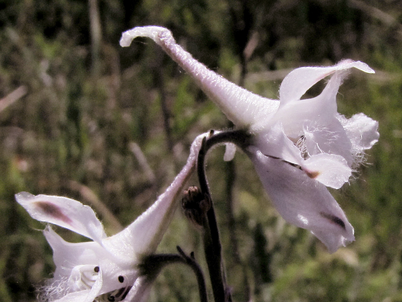
Delphinium carolinianum - "Carolina Larkspur, Prairie Larkspur"

Garganey - my documentation photo
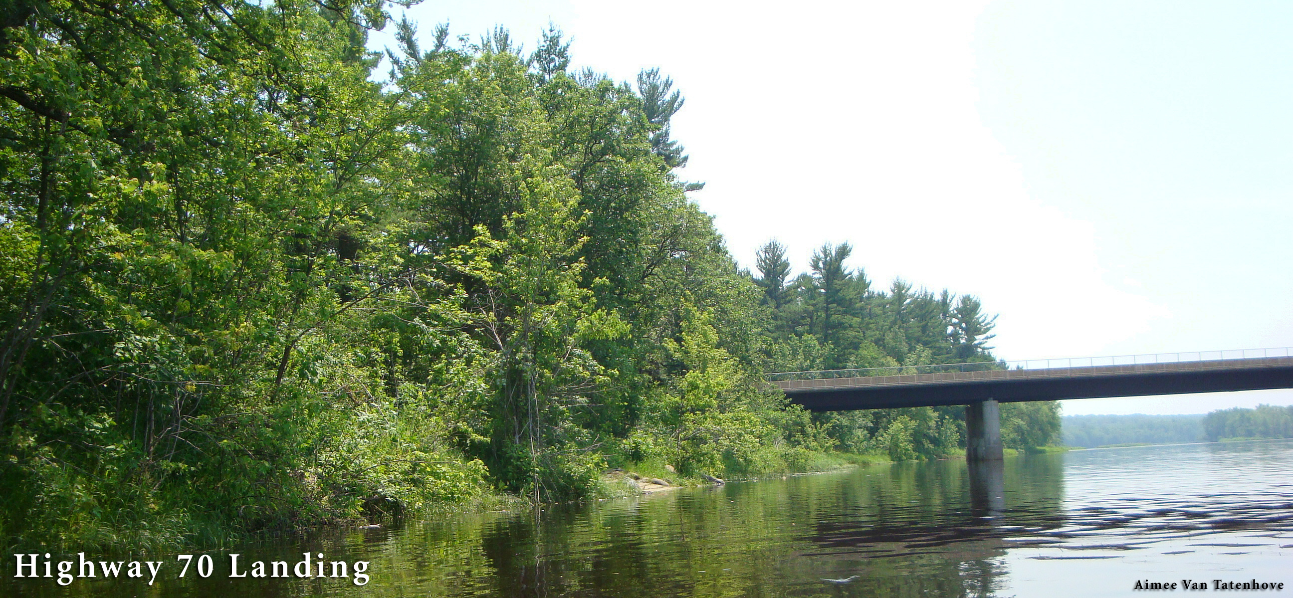
Hwy 70 Landing
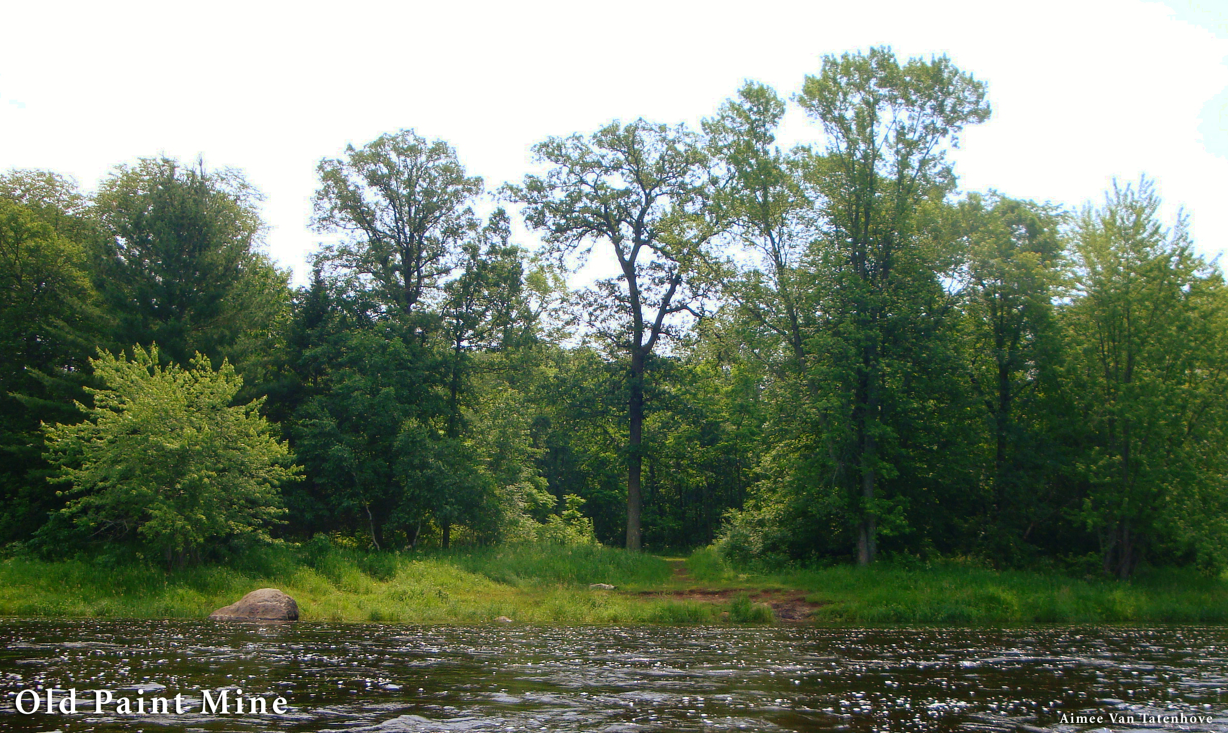
Old Paint Mine
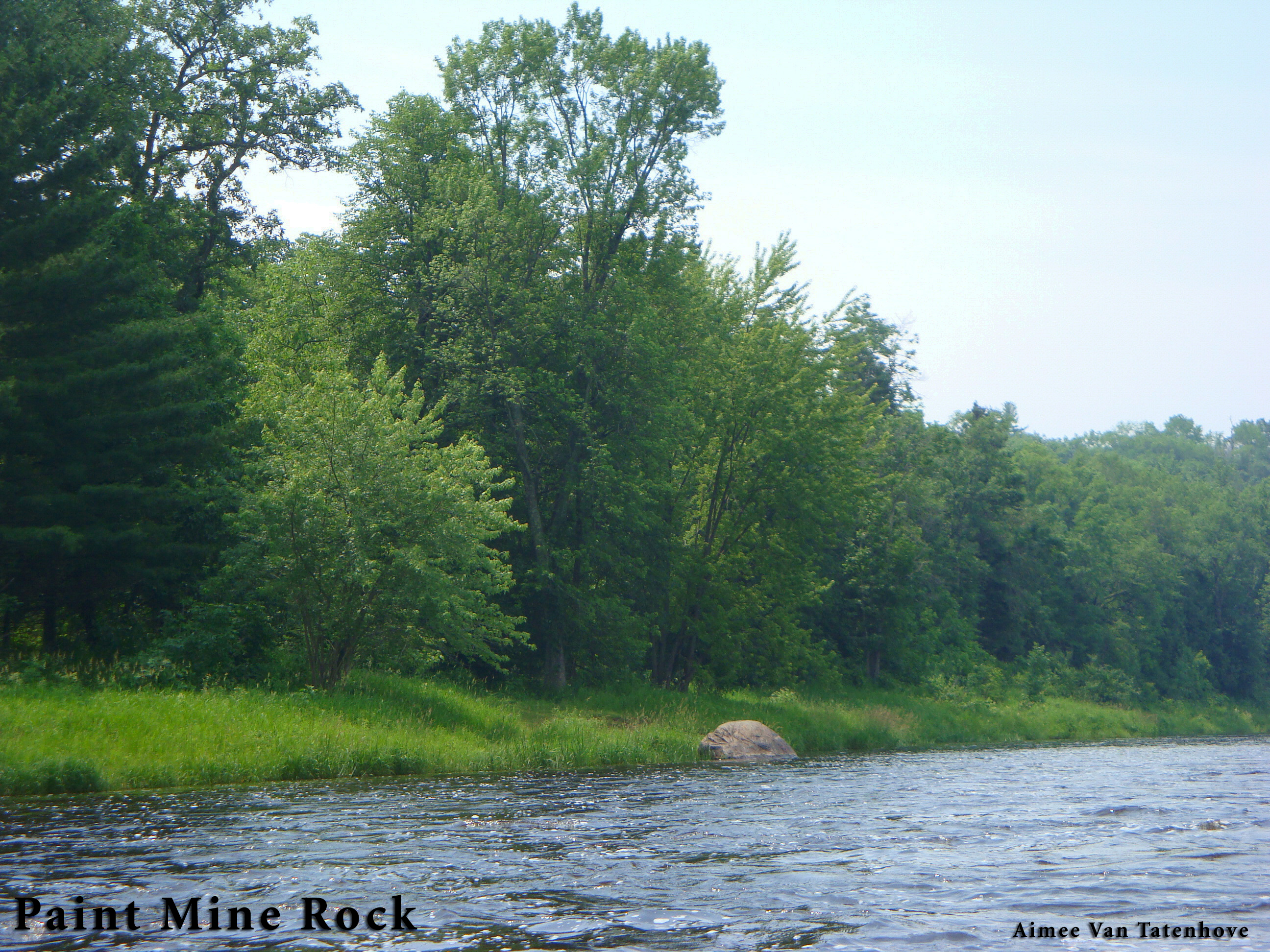
Paint Mine Rock
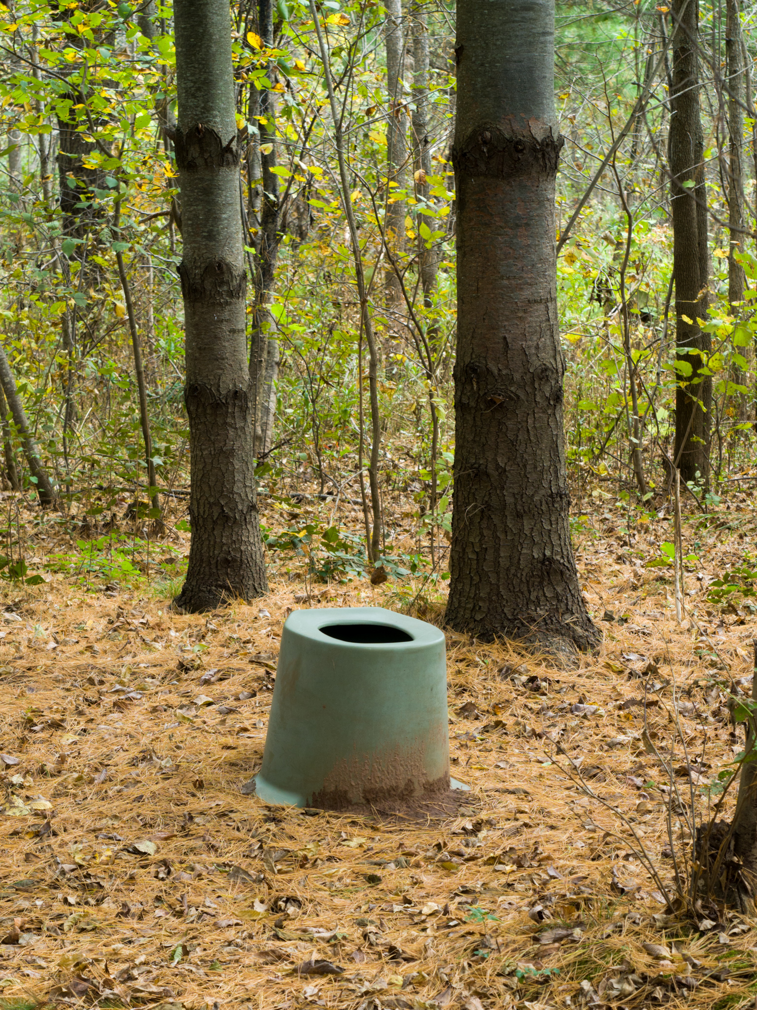
Bathroom, with view

Storm Clouds

Storm Clouds
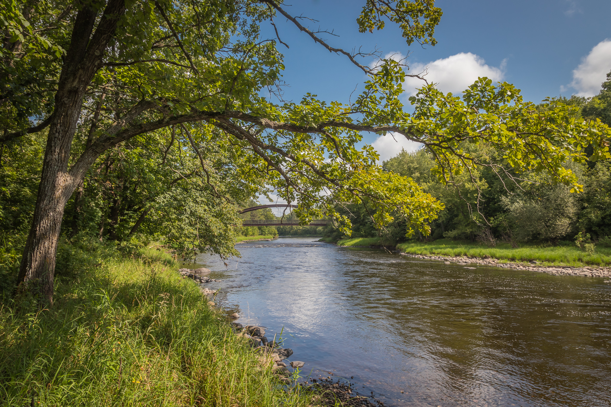
Snake River

Crex Meadows Wildlife Area
Crex Meadows Wildlife Area
Morning Awakens...and the Launch begins!
Sandrock Cliffs #1
Beautiful Marsh Shot from Crex Meadows, WI.

Crex Meadows
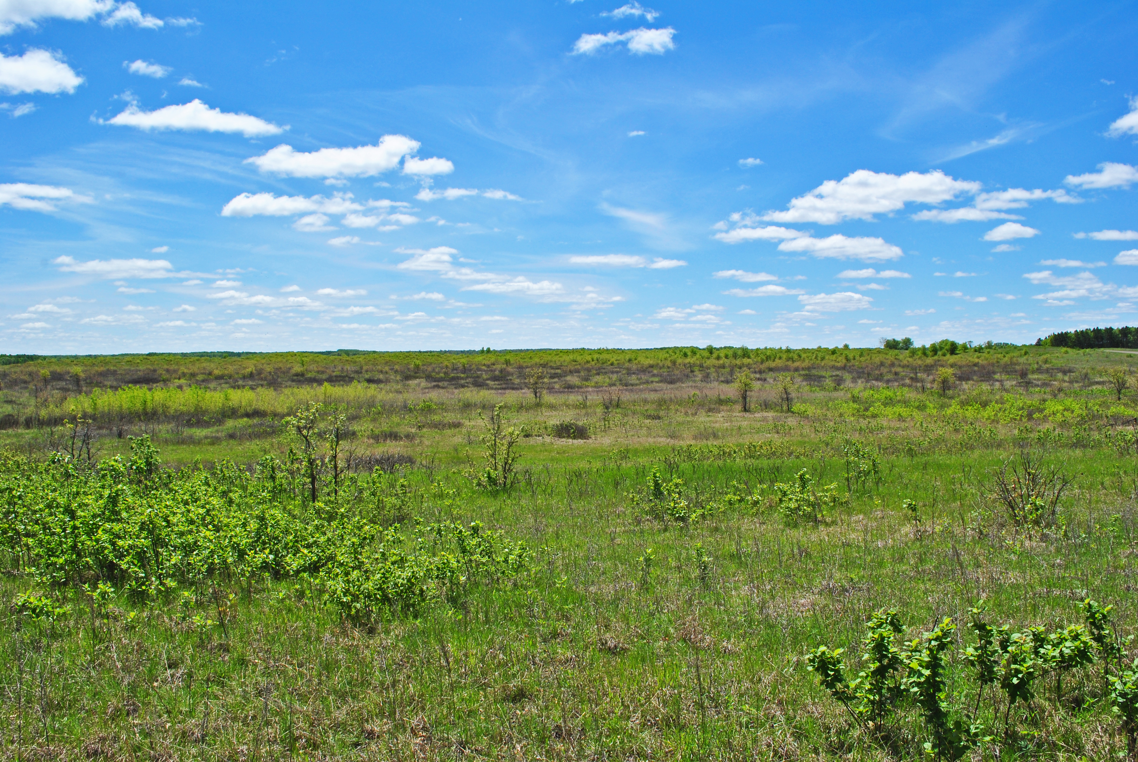
Crex Sand Prairie State Natural Area
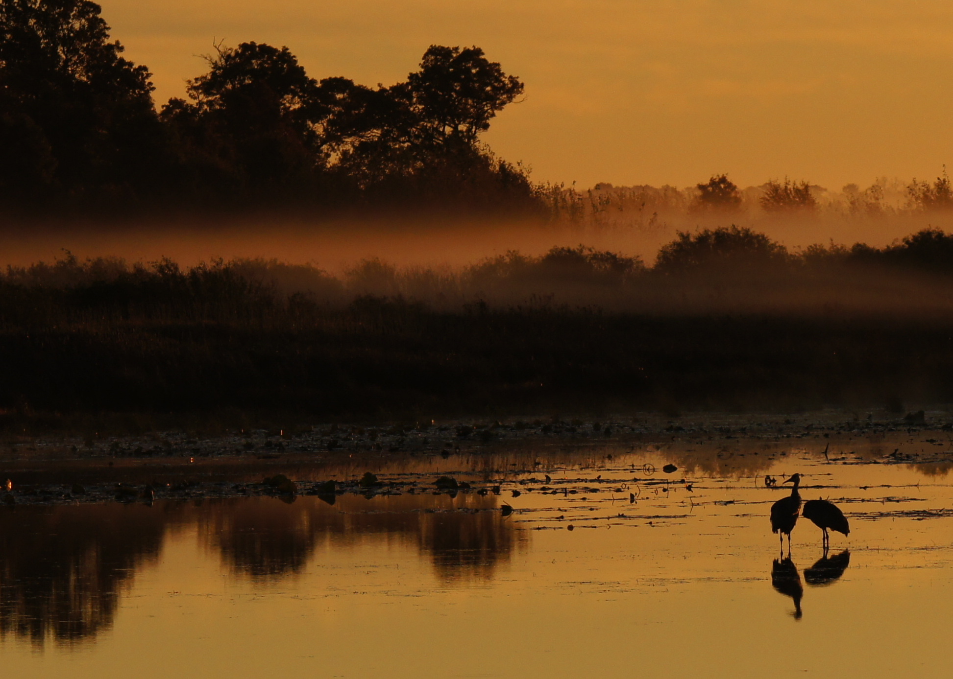
Sandhill Cranes @ Crex Meadows
Kettle River Trail
Fish Lake State Wildlife Area

Crex Meadows Wildlife Area
Sandhill Cranes @ Crex Meadows

Crex Meadows

Fish Lake Meadow State Natural Area
Sandhill Cranes @ Crex Meadows
Fish Lake State Wildlife Area
Crex Sand Prairie State Natural Area
Topographic Map of Grantsburg, WI, USA
Find elevation by address:

Places near Grantsburg, WI, USA:
14212 Fish Lake Rd
Sterling
Kasie Denucci Photography
Cushing
Sunny Acres Ln, St Croix Falls, WI, USA
W Oak St, Frederic, WI, USA
Frederic
8161 Moline Rd
Saint Croix River
Wisconsin 35
Webster
Lena Lake
Pine County
6810 Lone Star Rd
1515 240th St
Clam Falls
Saint Croix Falls
230 S Washington St
Meenon
2212 Glacier Dr
Recent Searches:
- Elevation of Congressional Dr, Stevensville, MD, USA
- Elevation of Bellview Rd, McLean, VA, USA
- Elevation of Stage Island Rd, Chatham, MA, USA
- Elevation of Shibuya Scramble Crossing, 21 Udagawacho, Shibuya City, Tokyo -, Japan
- Elevation of Jadagoniai, Kaunas District Municipality, Lithuania
- Elevation of Pagonija rock, Kranto 7-oji g. 8"N, Kaunas, Lithuania
- Elevation of Co Rd 87, Jamestown, CO, USA
- Elevation of Tenjo, Cundinamarca, Colombia
- Elevation of Côte-des-Neiges, Montreal, QC H4A 3J6, Canada
- Elevation of Bobcat Dr, Helena, MT, USA