Elevation of Grambling, LA, USA
Location: United States > Louisiana > Lincoln Parish >
Longitude: -92.714040
Latitude: 32.5276503
Elevation: 93m / 305feet
Barometric Pressure: 100KPa
Elevation Map:
Satellite Map:
Related Photos:
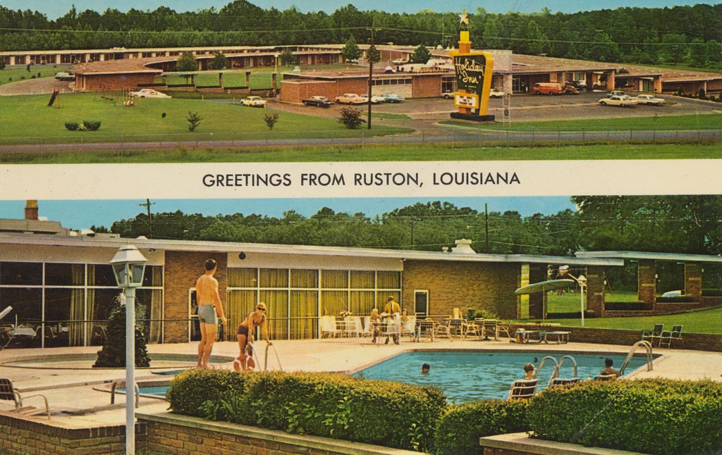
Holiday Inn - Ruston, Louisiana
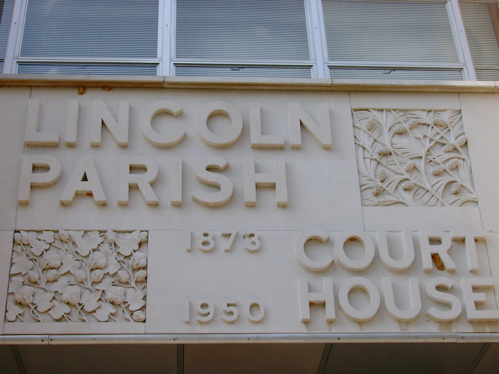
Lincoln Parish Courthouse Sign (Ruston, Louisiana)
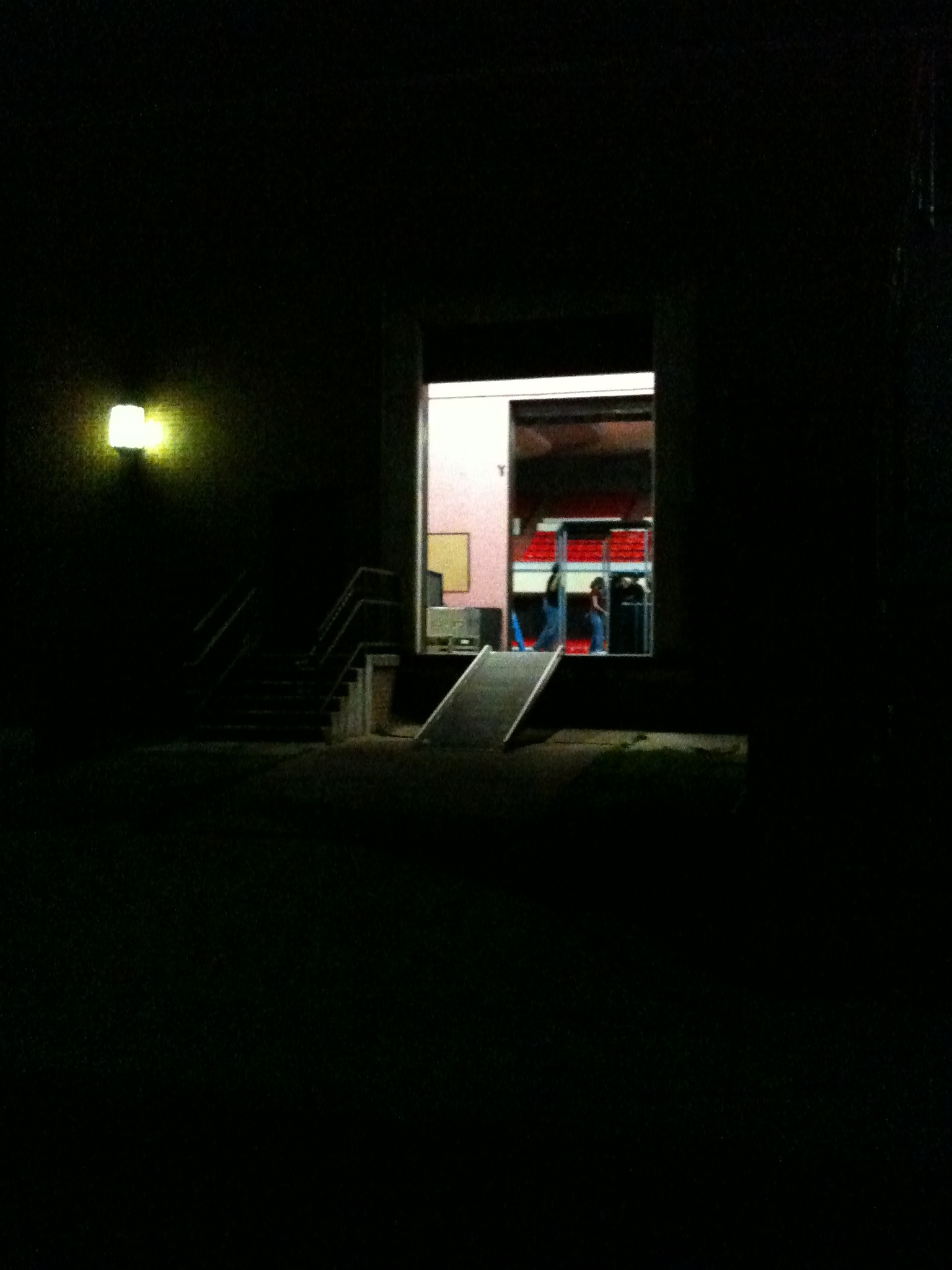
Load Out, Ruston, LA

The last view of the trees overhead
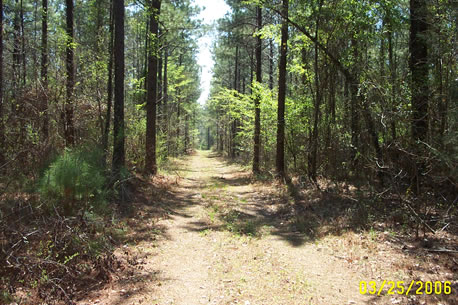
My Land in Simsboro

#Peaceful #Nature Druidry #Pagan #Stressfree #Spirituality #Breathe #Healing #Wanderlust #Druidism #Urban Druid

Rugby ULL v La Tech 102012 017
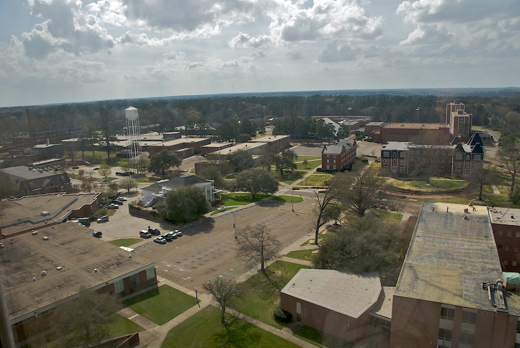
Louisiana Tech University
IMG_1904.JPG

#Peaceful #Nature #Druidry #Pagan #Stressfree #Spirituality #Breathe #Healing #Wanderlust #urbandruidry
Wafer Creek Ranch IMG_3721
Topographic Map of Grambling, LA, USA
Find elevation by address:

Places near Grambling, LA, USA:
Grambling State University
1469 Mitcham Orchard Rd
Jim Mize Track And Field Complex
Cooktown Rd, Ruston, LA, USA
Louisiana Tech University
Llangeler Drive
Lincoln Parish
Simsboro
Ruston
411 Audubon Dr
243 Walnut Creek Rd
283 Par Rd 87
814 Melissa St
310 N Bernard St
7, LA, USA
1606 Rampart Dr
LA-, Dubach, LA, USA
Myrtis Drive
Choudrant
5, LA, USA
Recent Searches:
- Elevation of Congressional Dr, Stevensville, MD, USA
- Elevation of Bellview Rd, McLean, VA, USA
- Elevation of Stage Island Rd, Chatham, MA, USA
- Elevation of Shibuya Scramble Crossing, 21 Udagawacho, Shibuya City, Tokyo -, Japan
- Elevation of Jadagoniai, Kaunas District Municipality, Lithuania
- Elevation of Pagonija rock, Kranto 7-oji g. 8"N, Kaunas, Lithuania
- Elevation of Co Rd 87, Jamestown, CO, USA
- Elevation of Tenjo, Cundinamarca, Colombia
- Elevation of Côte-des-Neiges, Montreal, QC H4A 3J6, Canada
- Elevation of Bobcat Dr, Helena, MT, USA